The best walks and hikes around Prad Am Stilfser Joch - Prato Allo Stelvio
4.4
(1764)
7,582
hikers
138
hikes
Hiking around Prad Am Stilfser Joch - Prato Allo Stelvio offers access to diverse alpine landscapes within the Vinschgau valley and the expansive Stelvio National Park. The region is characterized by the majestic Ortler Group, featuring numerous peaks and glaciers, alongside serene alpine meadows and dense forests. Hikers can explore a variety of terrains, from the dry inner-alpine climate of the valley to high-altitude mountain environments. This area provides a network of trails suitable for different experience levels, set against…
Last updated: October 10, 2026
4.7
(52)
216
hikers
10.9km
04:06
480m
480m
Moderate hike. Good fitness required. Mostly accessible paths. Sure-footedness required.
4.8
(4)
31
hikers
18.8km
08:51
1,620m
1,620m
Hard hike. Very good fitness required. Sure-footedness, sturdy shoes and alpine experience required.

4.5
(2)
9
hikers
6.59km
02:15
230m
230m
Moderate hike. Good fitness required. Mostly accessible paths. Sure-footedness required.
17
hikers
7.86km
04:00
660m
660m
Hard hike. Good fitness required. Sure-footedness, sturdy shoes and alpine experience required.
5.0
(2)
14
hikers
19.5km
06:02
700m
700m
Hard hike. Very good fitness required. Mostly accessible paths. Sure-footedness required.
Get access to more routes and recommendations from other explorers.
Already have an account?
Our route recommendations are based on thousands of hikes, rides, and runs completed by other people on komoot.
Start today with a free account
Your next adventure awaits.
Popular around Prad Am Stilfser Joch - Prato Allo Stelvio
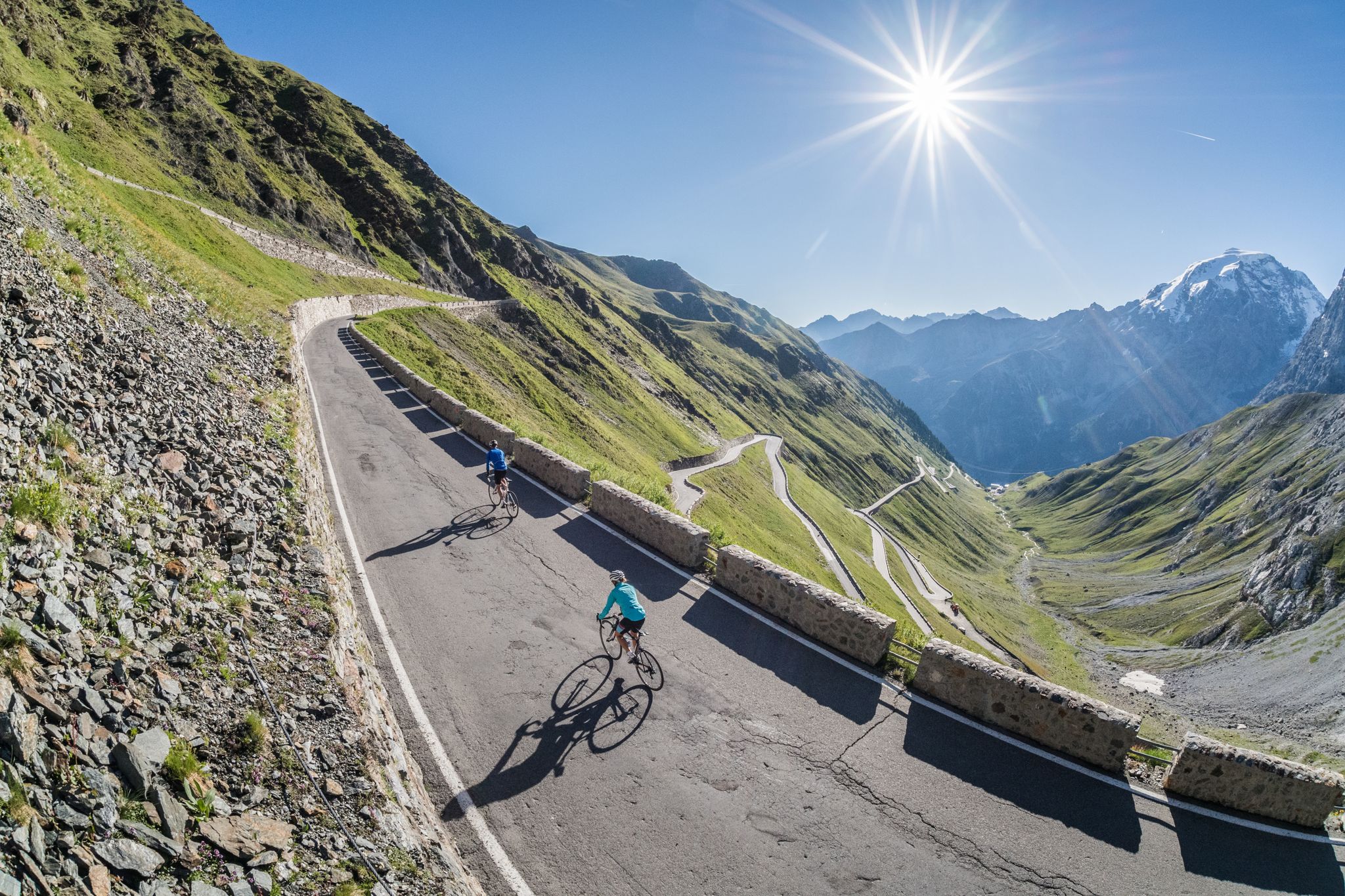
Road biking in South Tyrol
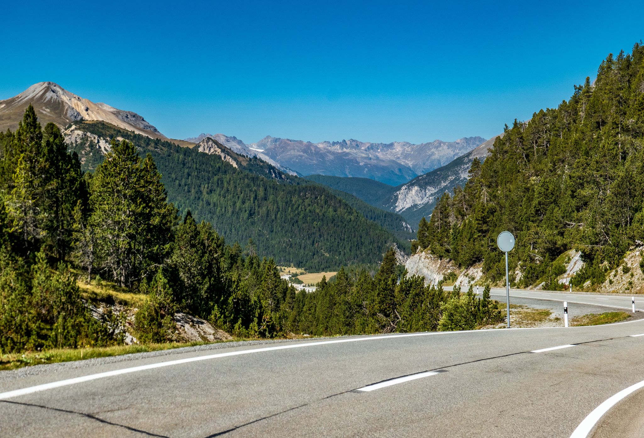
Tour of the Three Nations – road cycle between Italy, Switzerland and Austria
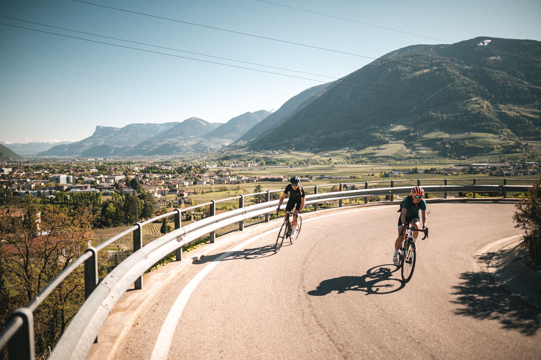
So much variety, so much South Tyrol
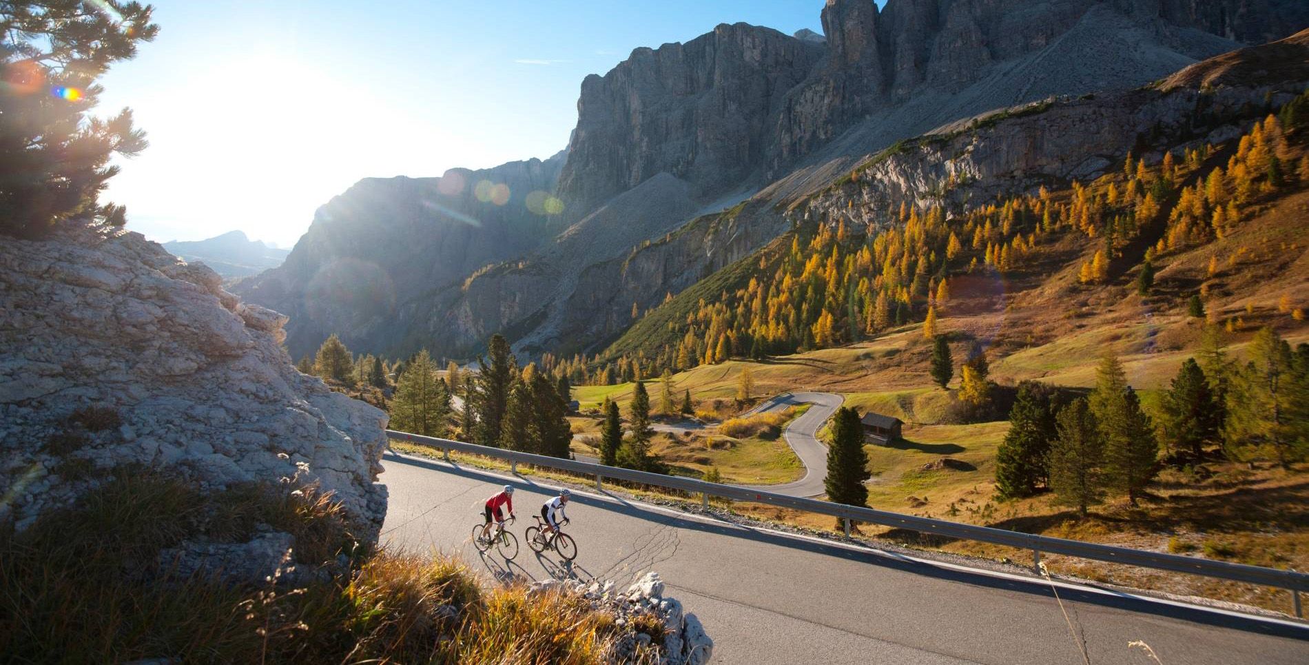
South Tyrol — the best tours for road cyclists
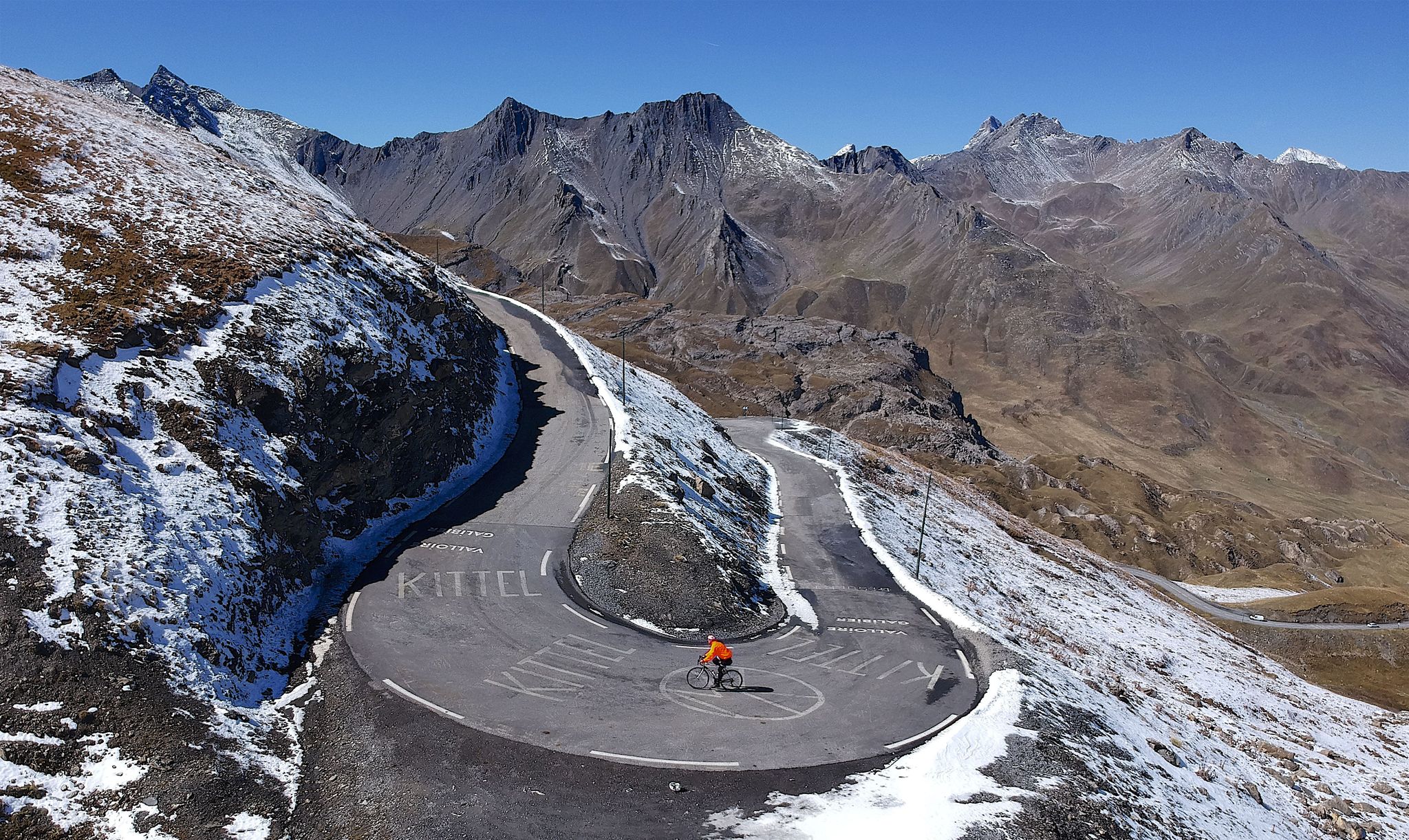
10 epic Alpine challenges
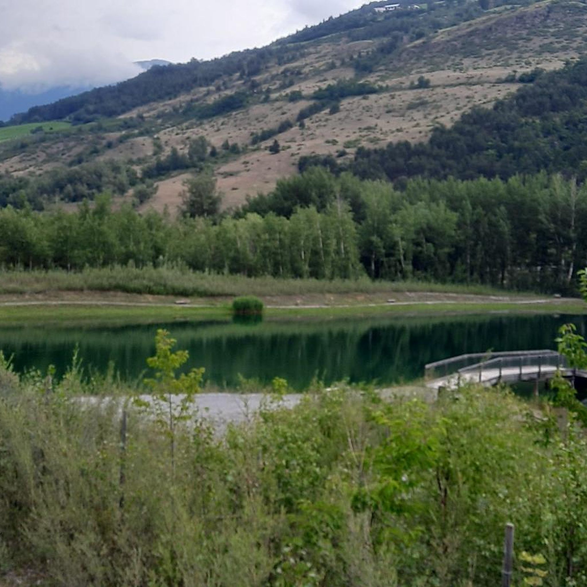
Road Cycling Routes around Prad Am Stilfser Joch - Prato Allo Stelvio
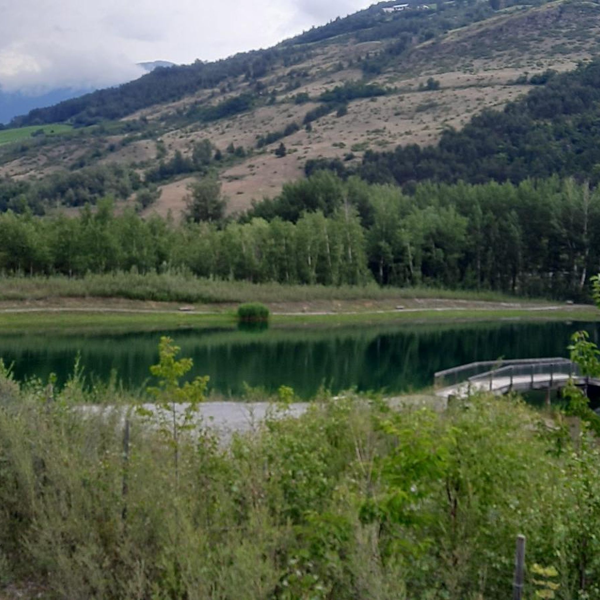
MTB Trails around Prad Am Stilfser Joch - Prato Allo Stelvio
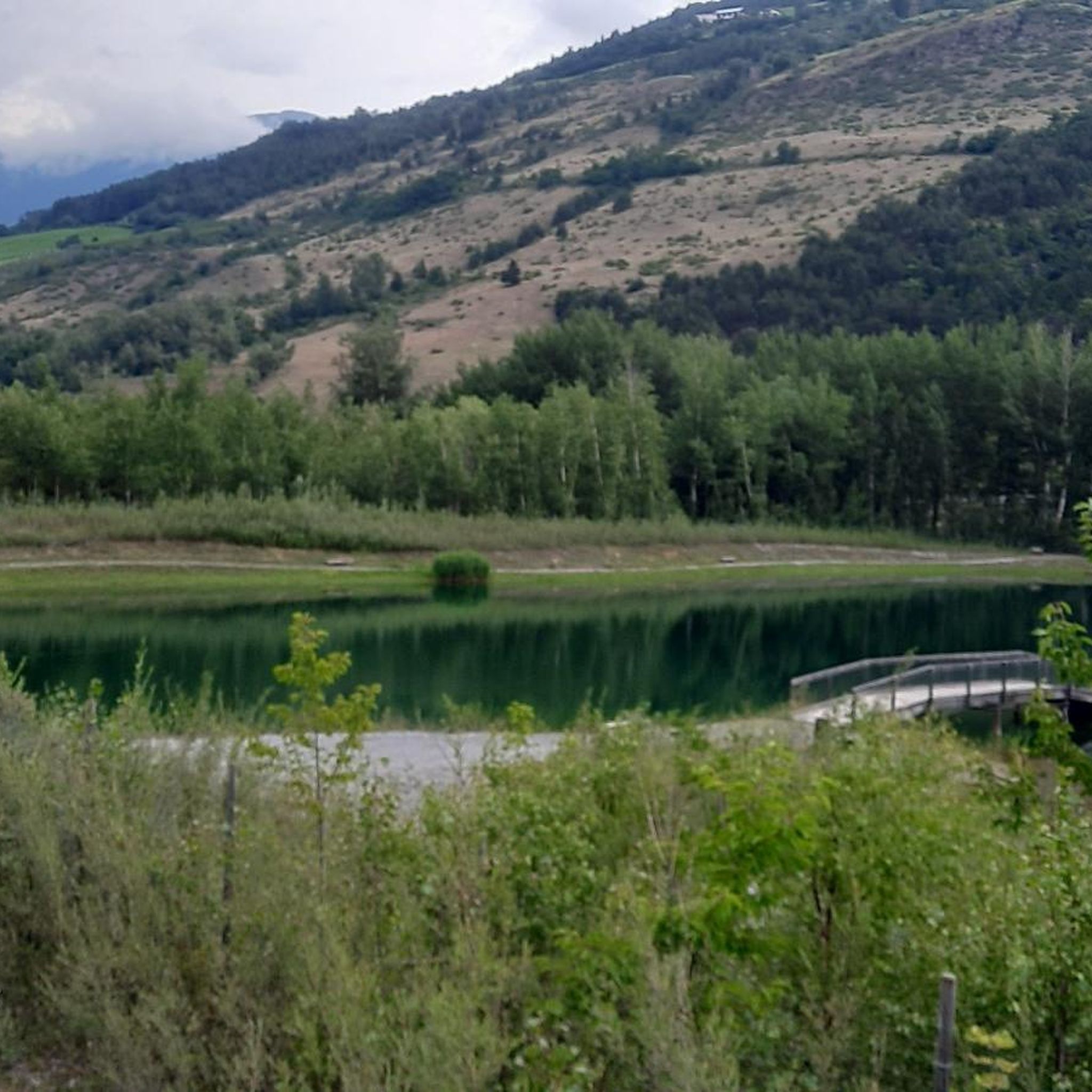
Cycling around Prad Am Stilfser Joch - Prato Allo Stelvio
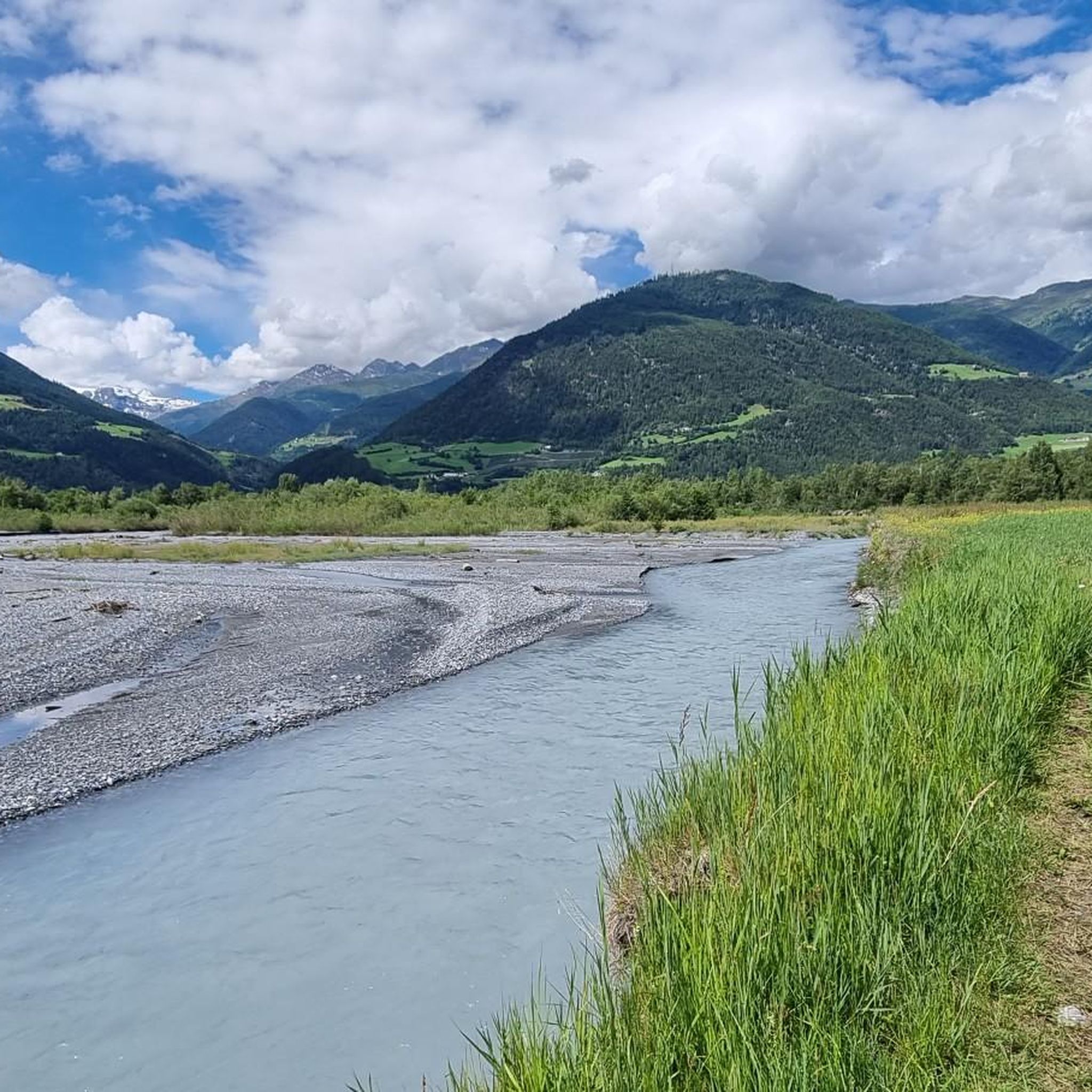
Running Trails around Prad Am Stilfser Joch - Prato Allo Stelvio
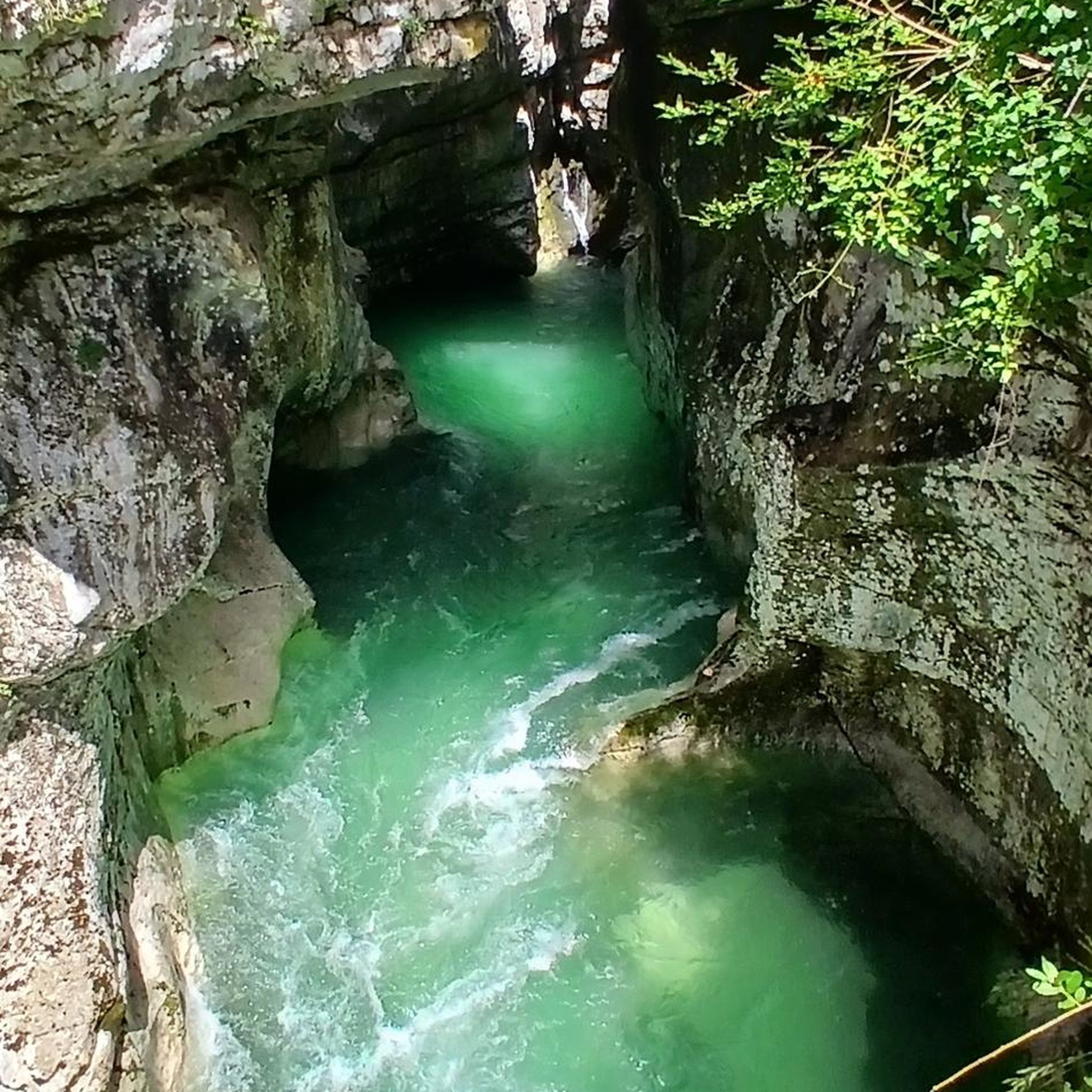
Gravel biking around Prad Am Stilfser Joch - Prato Allo Stelvio
Other adventures around Prad Am Stilfser Joch - Prato Allo Stelvio


Tips from the Community

Unfortunately we also saw the Ghost Forest which is located in the stretch between Malga Vitelli and MAlga del Toro
0
0
Stunning little lakes in front of Malga del Toro
0
0

The Lichtenberg castle ruins, built in the late 12th century, tower above Prad am Stilfserjoch in South Tyrol's Vinschgau valley. Once one of the largest defensive structures in the region, it is today an impressive, freely accessible ruin. It is primarily known for its historical Laurin frescoes and its eventful noble history.
1
0

A truly fantastic mountain bike touring destination with various downhill options. For the approach/ascent, I recommend turning right halfway between the Furkelhütte and the Stilfser Alm (approximately at the level of the Tradakopf). There are still some carrying sections, but you'll save about 200 meters of elevation gain compared to the Stilfser Alm, and the path is less steep.
0
0

Along the panoramic path there are always beautiful views over the valley, often towards Schluderns and the Churburg.
0
0
And view of the Lichtenberg castle ruins
0
0

Built in 1574 in the Romanesque style in place of a previous chapel.
0
0
A lovely spot for a rest near the Lichtenberg castle ruins.
1
0
Frequently Asked Questions
How many hiking trails are available in Prad Am Stilfser Joch - Prato Allo Stelvio?
The region around Prad Am Stilfser Joch - Prato Allo Stelvio offers a vast network of over 130 hiking trails. These range from leisurely walks through the valley to challenging high-altitude tours within the Stelvio National Park and the Ortler Group.
What types of terrain can I expect on hikes around Prad Am Stilfser Joch?
You'll encounter highly diverse terrain. The Vinschgau valley features green meadows and dense forests, while the sunny Sonnenberg mountain has sparser, almost Mediterranean flora. Higher up, trails lead through alpine meadows, past glaciers, and up to rocky peaks of the Ortler Group, offering everything from gentle paths to rugged mountain ascents.
Are there any easy or family-friendly hiking options in the area?
Yes, there are many easy and family-friendly options. The region offers around 50 easy routes, including the historic Waalwege (irrigation channel paths) which are generally flat and scenic. The Arena di Prato nature and recreation zone also features adventure trails specifically designed for children.
Where can I find challenging hikes near Prad Am Stilfser Joch?
For experienced hikers, the region offers around 19 difficult routes. The Hike to Monte di Glorenza – Stelvio National Park is a challenging 18.8 km path with significant elevation gain. The Ortler High Mountain Trail, though not a single komoot route, is also a renowned multi-day challenge in the area, involving high altitudes and sometimes glacier sections.
What are some notable landmarks or viewpoints I can see while hiking?
Hikers can enjoy spectacular views of the Ortler Group, including the majestic Ortler peak. You can also visit historical sites like the Historic Old Town Glurns / Glorenza or explore castles such as Fürstenburg Castle (Burgeis). Many trails offer panoramic vistas of the Vinschgau valley and the surrounding alpine landscape.
Are there any circular hiking routes available?
Yes, many trails in the region are designed as circular routes, allowing you to start and end at the same point. While specific circular routes are numerous, you can find options ranging from leisurely loops through the valley to more demanding circular tours in the higher alpine areas, often incorporating alpine huts for a break.
Can I bring my dog on the hiking trails?
Generally, dogs are welcome on most hiking trails in the region, especially on leash. However, within the Stelvio National Park, there might be specific regulations or areas where dogs need to be kept on a short leash or are not permitted to protect wildlife. Always check local signage or park rules before heading out.
What is the best time of year for hiking in Prad Am Stilfser Joch?
The best time for hiking is typically from late spring (May/June) to early autumn (September/October). During these months, the weather is generally mild, trails are clear of snow, and alpine meadows are in bloom. High-altitude routes are best tackled in mid-summer (July/August) when snow has largely melted. Some Waalwege are even accessible for snow-free winter walks.
Are there opportunities for wildlife spotting during hikes?
Absolutely. As part of the Stelvio National Park, the region is rich in diverse flora and fauna. Hikers might spot iconic alpine species such as ibex, chamois, red deer, and golden eagles, especially in quieter, higher-altitude areas. Keep an eye out for rare plants like edelweiss in the alpine meadows.
What do other hikers enjoy the most about hiking in Prad Am Stilfser Joch - Prato Allo Stelvio?
The area is highly rated by the komoot community, with an average score of 4.5 stars from over 1,500 reviews. Reviewers often praise the stunning views of the Ortler Group, the diverse landscapes ranging from lush valleys to high alpine terrain, and the well-maintained network of trails that cater to all abilities.
Is public transport available to reach trailheads?
Yes, public transport options, including buses and hiking taxis, are available to conveniently reach various trailheads throughout the region. This allows hikers to access routes without needing a car, making it easier to plan one-way hikes or reach more remote starting points.
Are there places to eat or stay overnight along the trails?
Yes, numerous alpine pastures and huts, such as the Prader Alm and Furkelhütte, are scattered throughout the hiking network, inviting hikers to take a break and sample local specialties. Qualified mountain huts also offer food and overnight accommodations, particularly along longer routes like the Ortler High Mountain Trail.
Most popular routes around Prad Am Stilfser Joch - Prato Allo Stelvio
Most popular attractions around Prad Am Stilfser Joch - Prato Allo Stelvio

Get inspired with the komoot mobile app


Explore more
Browse the best Hikes in other regions.
