Top 11 Mountain Passes around Gargazon - Gargazzone
Best mountain passes around Gargazon - Gargazzone offers access to a diverse mountainous region in South Tyrol. This village, situated in a valley, serves as a strategic base for exploring the Sarntal Alps and the wider Dolomites. The area features various passes known for their scenic beauty and recreational opportunities. Its location provides convenient access to both local passes and renowned Dolomite routes.
Best mountain passes around Gargazon - Gargazzone
- The most popular mountain passes is Laugen Spitze – Monte…
Last updated: August 20, 2026
Möltner Joch / Giogo di Meltina (Meltina Pass)
Highlight • Mountain Pass
Translated by Google •
Tip by

Singletrack on the E5 long-distance hiking trail
Highlight (Segment) • Trail
Translated by Google •
Tip by

Sign up now to discover places like this
Get recommendations on the best single tracks, peaks, & plenty of other exciting outdoor places.
Sign up for free
Laugen Spitze – Monte Luco
Highlight • Summit
The Laugen is located in the outermost Ulten Valley and flanks the southern side of the Ulten Mountains (mountain range of the Maddalene - Ilmenkamm). Different …
Translated by Google •
Tip by

Ascent to Passo delle Palade from Lana
Highlight (Segment) • Mountain Pass
Translated by Google •
Tip by

Gampenpass (Passo Palade) bus stop
Highlight • Rest Area
Translated by Google •
Tip by

Sign up for free to discover even more mountain passes around Gargazon - Gargazzone.
Sign up for free
Already have an account?
Start today with a free account
Your next adventure awaits.
Login or Signup
Popular around Gargazon - Gargazzone

Tips from the Community

The Laugenspitze (Italian: Monte Luco) at 2,434 meters is the highest mountain in the Nonsberg Group in South Tyrol. The striking porphyry double peak consists of the Große Laugen (2,434 m) and the Kleine Laugen (2,297 m), which are separated by the picturesque Laugensee (2,182 m). Due to its freestanding location, it offers an excellent viewing platform over the Etschtal valley, the Meraner Land region, the Vinschgau valley, and as far as the Dolomites.
0
0

Either arrive early (before 8:30) or use the parking bays before or after (each 500m away). Parking is prohibited on the country road.
1
0

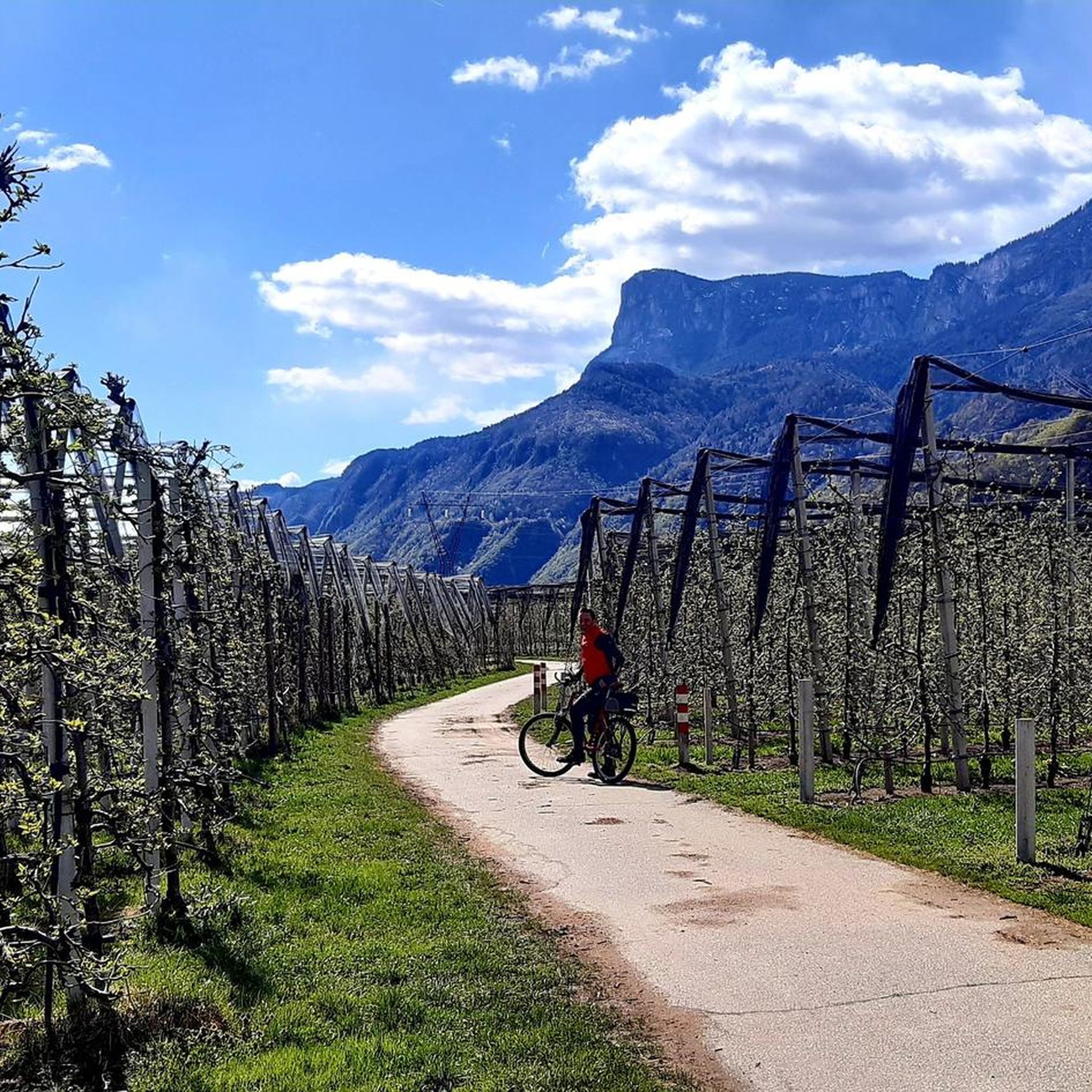
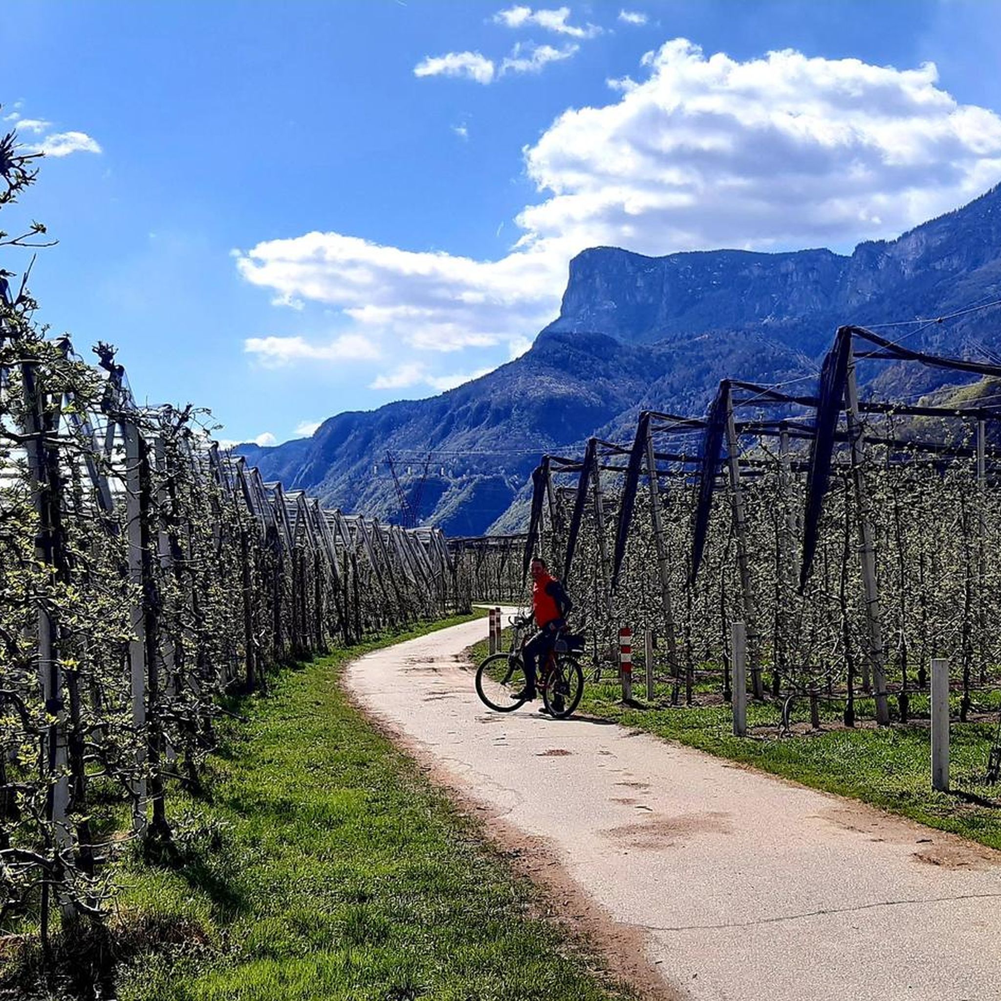
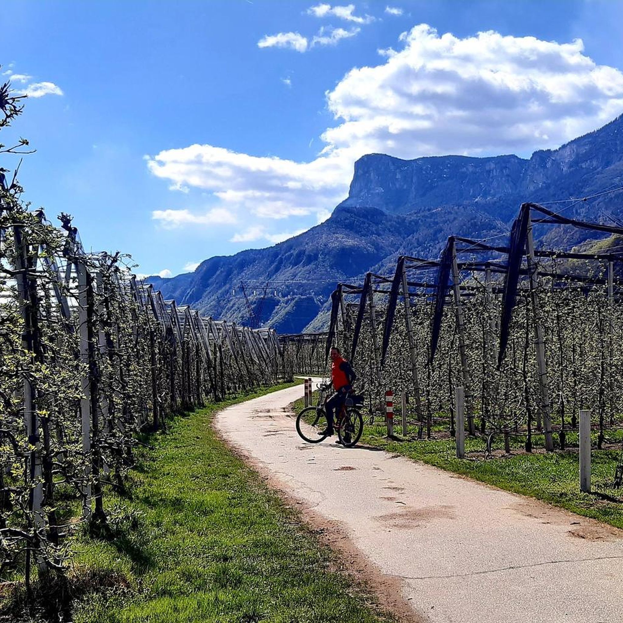
The climb to the Passo delle Palade from Lana connects the Val d'Adige with the Val di Non. It is about 18 kilometers long with a difference in altitude of 1200 meters. The gradient is fairly constant for most of the route. The road passes through several villages before tackling the numerous hairpin bends that climb through the woods to the 1518 meters of the pass.
4
1

Perfect place to start a beautiful mountain tour. There is also free parking for cars
4
0

Several hikes can be started from the Gampenpass bus stop. There is also a small parking lot there.
1
0

Very impressive view both in the distance and directly on the plateau (2000m altitude)
0
0
During the descent from the Stoanerne Mandln...
0
0

Attention, the Laugenalm, a popular place to stop for refreshments until recently, is unfortunately currently closed. not managed.
0
1
Frequently Asked Questions
What kind of views can I expect from the mountain passes near Gargazon - Gargazzone?
The region offers spectacular panoramic views. For instance, the Möltner Joch / Giogo di Meltina (Meltina Pass) provides stunning vistas of the Dolomites, including the Latemar area, Rosengarten, and Sciliar massif, with the Sassolungo and Sassopiatto visible in the distance. From Laugen Spitze – Monte Luco, you can enjoy a 360-degree panoramic view, reaching as far as Brenta, Rosengarten, Sciliar, and Sella on clear days.
Are there family-friendly hiking options around the mountain passes?
Yes, the area around Möltner Joch / Giogo di Meltina (Meltina Pass) is highly recommended for hiking and is suitable for families. The trails are described as comfortable and not overly strenuous, offering enjoyable experiences. You can also find easy hiking loops around Gargazon - Gargazzone, such as the 'Hiking loop from Gargazon - Gargazzone' which is just over 4 km long.
What is the best time of year to visit the mountain passes for natural beauty?
Late April and early May are particularly special for visiting the Möltner Joch / Giogo di Meltina (Meltina Pass) area. During this time, the alpine meadows transform into a breathtaking carpet of violet and white crocuses, creating a unique natural spectacle.
What cycling opportunities do the mountain passes offer?
The region is excellent for cycling. The Ascent to Passo delle Palade from Lana is a notable route, connecting the Val d'Adige with the Val di Non. It's approximately 18 kilometers long with a significant elevation gain, featuring numerous hairpin bends through the woods. For more cycling routes, you can explore the Road Cycling Routes around Gargazon - Gargazzone guide.
How can I access the mountain passes using public transport?
Public transport options are available to reach the vicinity of some passes. For example, the Gampenpass (Passo Palade) bus stop serves as a starting point for various tours, including those to Laugenalm and Laugenspitze. Bus line 246 connects Merano and Fondo, though planning is essential as buses may not run too regularly.
Are there any unique natural features or landmarks near the passes?
Near the Möltner Joch / Giogo di Meltina (Meltina Pass), hikers can extend their trips to visit the 'Stoanerne Mandln' (Stone Cairns). This unique site features countless stone cairns and offers a 360-degree panorama of the Dolomites, considered a highlight on the Tschöggelberg.
What do visitors particularly enjoy about the mountain passes in this area?
Visitors appreciate the stunning panoramic views, especially from spots like Möltner Joch, where they can see the Dolomites. The diverse hiking opportunities, from comfortable family trails to more challenging ascents like to Laugen Spitze, are also highly valued. The community has contributed over 500 upvotes and nearly 200 photos for highlights in the area, showcasing its appeal.
Are there mountain biking trails available near Gargazon - Gargazzone's passes?
Yes, there are mountain biking opportunities. For instance, from Vöraner Joch (1941 m), you can find beautiful branched singletrack trails. You can find more detailed routes and options in the MTB Trails around Gargazon - Gargazzone guide.
Where can I find refreshments or places to stay near the mountain passes?
Near the Möltner Joch / Giogo di Meltina (Meltina Pass), the Sattlerhütte provides a pleasant stop for refreshments. Additionally, the Gampenpass (Passo Palade) bus stop area also features an inn with accommodation and a restaurant.
What are some other notable Dolomite passes accessible from Gargazon - Gargazzone for a day trip?
While not directly in Gargazon, the village serves as a convenient base for day trips to wider Dolomite passes. These include the scenic Sella Pass, the iconic Stelvio Pass with its hairpin turns, Passo di Giau known for its beauty, Passo Rolle beneath the Pale di San Martino, Passo Gardena, and Passo Pordoi which offers cable car access to the 'Terrace of the Dolomites'.
What are the difficulty levels of hiking trails around the mountain passes?
The trails vary in difficulty. For example, the area around Möltner Joch / Giogo di Meltina (Meltina Pass) offers comfortable, not overly strenuous routes suitable for families. However, ascents to summits like Laugen Spitze – Monte Luco are considered challenging. You can find a range of options from easy to difficult in the Hiking around Gargazon - Gargazzone guide.
Most popular routes around Gargazon - Gargazzone
Most popular attractions around Gargazon - Gargazzone

Get inspired with the komoot mobile app


Explore more
See even more epic mountain passes by checking out these guides around Gargazon - Gargazzone:
