The best cycling routes around Fierozzo
4.4
(3107)
23,111
riders
173
rides
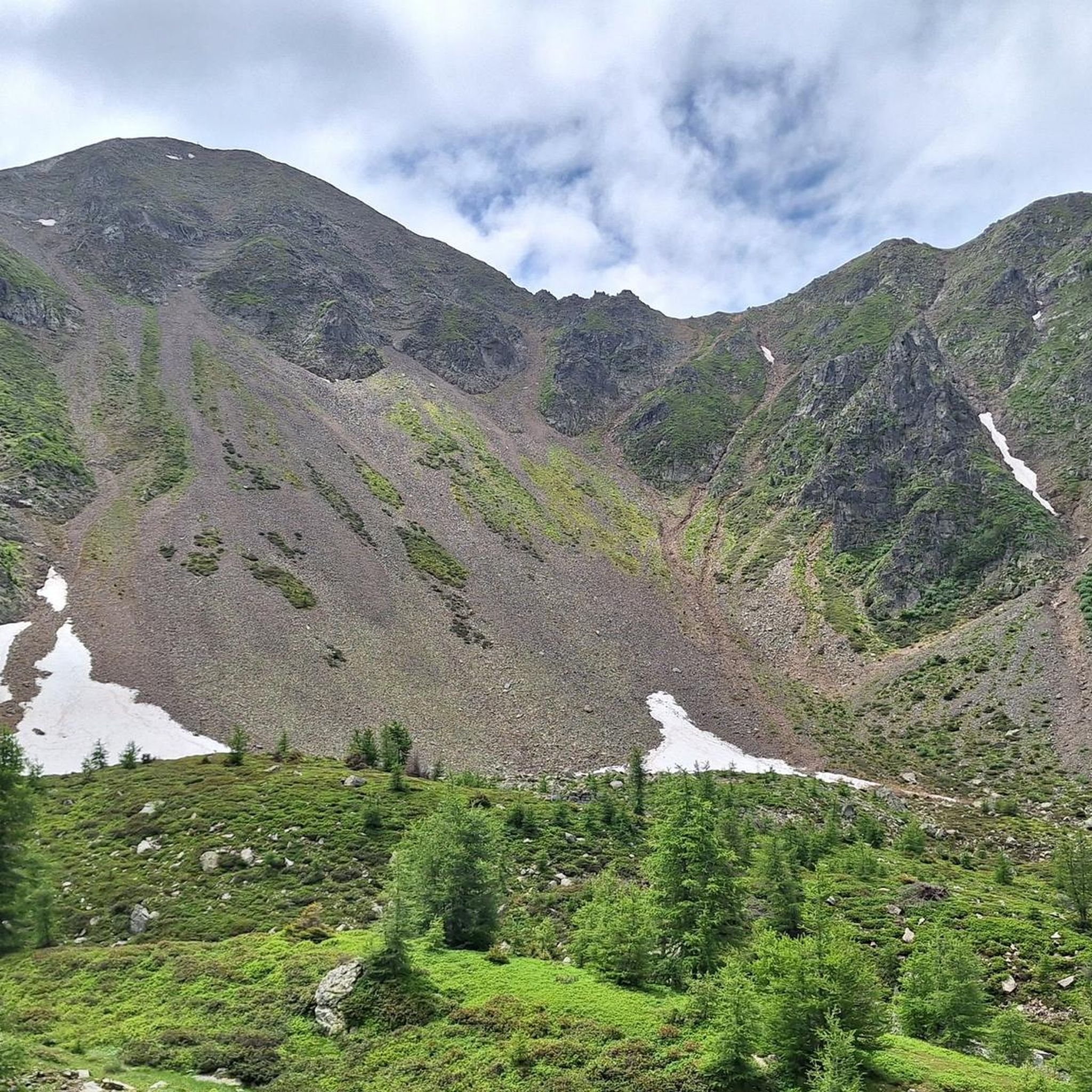
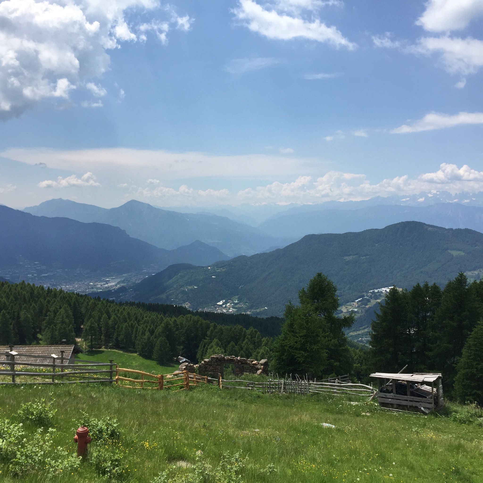
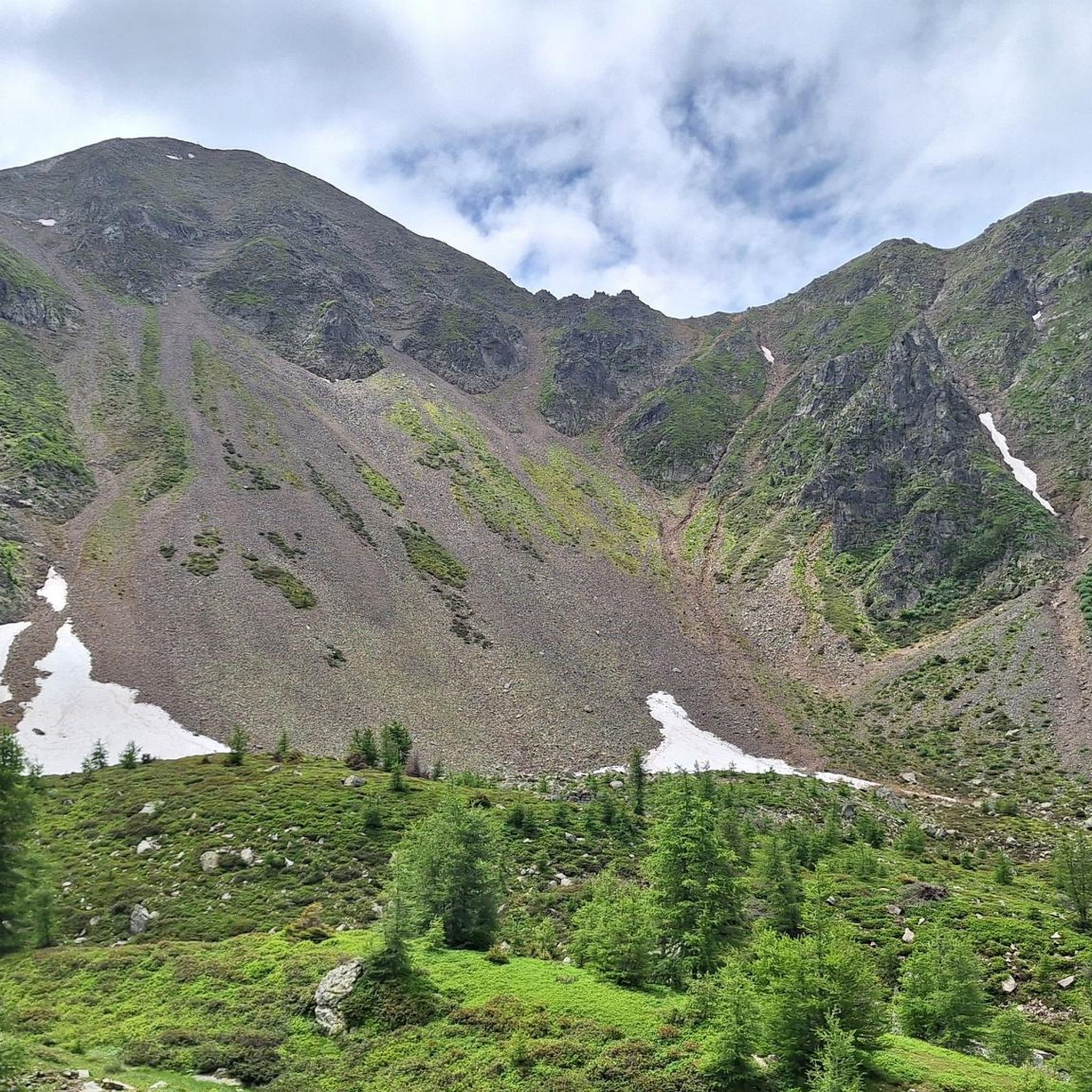
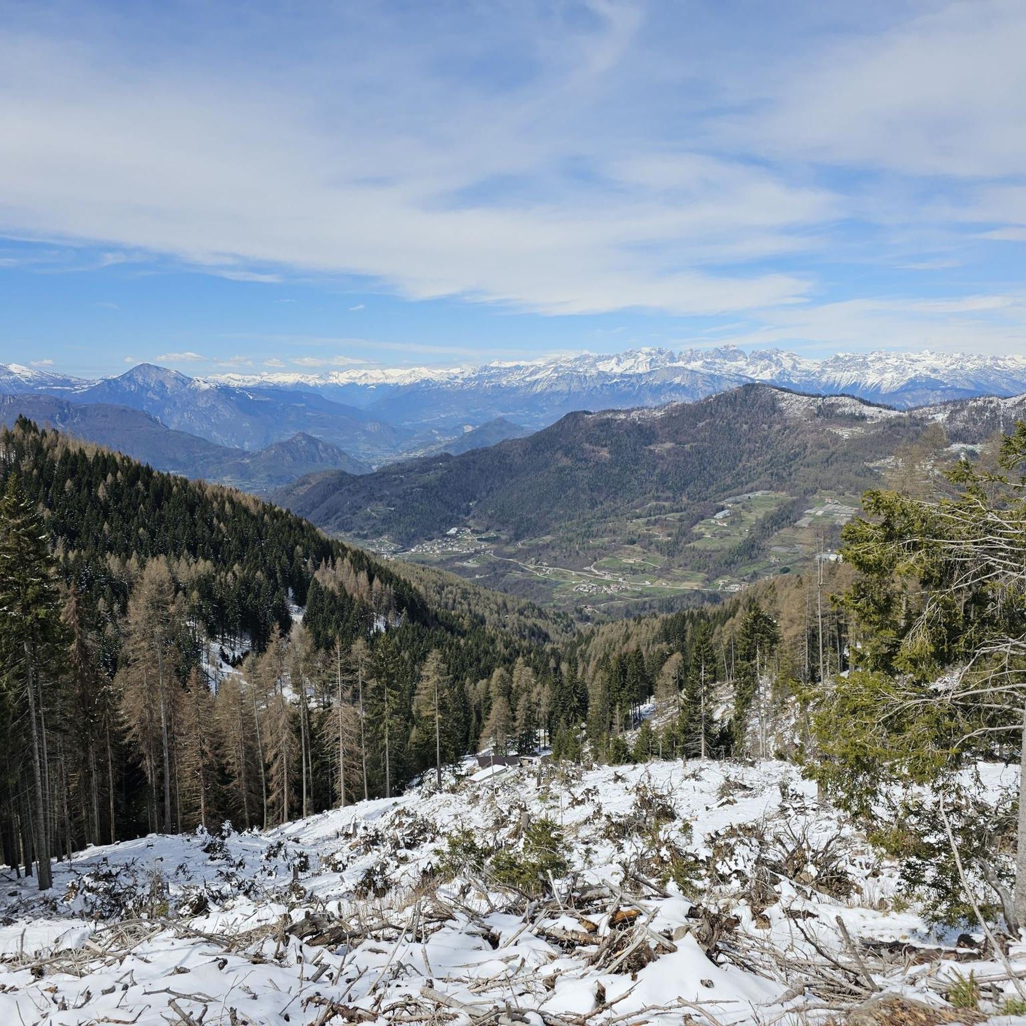
Touring cycling routes around Fierozzo are set within Trentino's Valle dei Mocheni, characterized by mountainous terrain with altitudes typically ranging from 1,000 to 1,500 meters. The region features extensive forests and alpine meadows, providing varied landscapes for cyclists. Prominent peaks like Fravòrt and Gronlàit rise above 2,000 meters, contributing to the area's elevation changes. Glacial lakes, such as Lago di Erdemolo, add scenic destinations to the network of routes.
Best touring cycling routes around Fierozzo
- The most popular touring cycling…
Last updated: July 5, 2026
4.6
(18)
152
riders
27.2km
01:46
370m
370m
Moderate bike ride. Good fitness required. Mostly paved surfaces. Suitable for all skill levels.
4.9
(9)
68
riders
9.52km
00:40
110m
100m
Easy bike ride. Great for any fitness level. Mostly paved surfaces. Suitable for all skill levels.

Sign up for free
5.0
(1)
56
riders
25.1km
02:08
850m
850m
Hard bike ride. Very good fitness required. Mostly paved surfaces. Suitable for all skill levels.
5.0
(1)
71
riders
38.5km
02:56
1,000m
1,000m
Hard bike ride. Very good fitness required. Mostly paved surfaces. Suitable for all skill levels.
30
riders
25.1km
01:46
440m
450m
Moderate bike ride. Good fitness required. Mostly paved surfaces. Suitable for all skill levels.
Get access to more routes and recommendations from other explorers.
Sign up for free
Already have an account?
Our route recommendations are based on thousands of hikes, rides, and runs completed by other people on komoot.
Start today with a free account
Your next adventure awaits.
Login or Signup


Tips from the Community

The main center with the seat of the museum and the Cimbrian cultural institute.
0
0
The two basins for the hydroelectric power plants on the Pinè plateau. The pedestrian path along the lakes should be cycled with caution and at low speed.
0
0
The two basins for the hydroelectric power plants on the Pinè plateau. The pedestrian path along the lakes should be cycled with caution and at low speed.
0
0
The two lakes for the hydroelectric power plants of the Pinè plateau
0
0
Final section from Canezza to the junction with the provincial road
0
0
It is an artificial lake formed by the dam for the hydroelectric power plant. It is equipped with beautiful beaches and a road suitable for walks, and can be cycled with care.
0
0
The old road of the Great War forts
0
0
The old road of the Great War block forts
0
0
Frequently Asked Questions
How many touring cycling routes are available around Fierozzo?
There are over 160 touring cycling routes available around Fierozzo, offering a wide range of options for cyclists. These routes are set within Trentino's Valle dei Mocheni, characterized by mountainous terrain and diverse landscapes.
What are the difficulty levels of touring cycling routes in Fierozzo?
The touring cycling routes in Fierozzo cater to various skill levels. You'll find approximately 26 easy routes, 45 moderate routes, and 91 difficult routes. The region's mountainous terrain, with peaks like Fravòrt and Gronlàit, means many routes involve significant elevation changes, offering challenging climbs for experienced riders.
When is the best time of year to go touring cycling in Fierozzo?
The best time for touring cycling in Fierozzo is typically from spring through autumn. Spring offers blooming cherry and chestnut trees, while autumn showcases rich red and yellow hues in the extensive forests and alpine meadows. The region's higher altitudes mean cooler temperatures, making it pleasant during warmer months. Winter transforms the landscape into a setting for snow sports, so cycling is generally not recommended then.
Are there any circular touring cycling routes in Fierozzo?
Yes, Fierozzo offers several excellent circular touring cycling routes. For example, the Lago della Serraia – Lago della Serraia loop from Bedollo is a popular 50.9 km route offering extensive lake views. Another option is the Lago della Serraia – East Shore of Lake Serraia loop from Sant'Orsola Terme, which provides scenic lakeside cycling.
What natural features and landmarks can I see along the touring cycling routes?
Touring cycling routes in Fierozzo pass through stunning natural landscapes and near cultural landmarks. You can encounter extensive forests, alpine meadows, and glacial lakes like Lake Erdemolo and Lago della Serraia. The region also features prominent peaks such as Fravòrt and Gronlàit. Culturally, you might pass through traditional Mòcheno villages and see historic sites like Pergine Castle or the Historic Center of Borgo Valsugana.
Are there family-friendly touring cycling options in Fierozzo?
While many routes in Fierozzo involve mountainous terrain and significant elevation, the broader Trentino region emphasizes cycling with extensive bicycle trails, including paths alongside rivers and through vineyards. For easier, family-friendly options, look for routes with less elevation gain or consider exploring sections of the Valsugana Cycle Path which offers a more gentle experience.
What do other touring cyclists enjoy most about cycling in Fierozzo?
The touring cycling routes in Fierozzo are highly rated by the komoot community, with an average score of 4.4 stars from over 2800 reviews. Cyclists often praise the region's diverse and largely untouched natural environment, the stunning landscapes, and the variety of routes that cater to different abilities, from challenging climbs to more moderate paths through forests and meadows.
Can I reach touring cycling routes in Fierozzo using public transport?
The Valle dei Mocheni, where Fierozzo is located, has public transport connections, though specific services to trailheads might vary. It's advisable to check local bus schedules for routes connecting to villages like Sant'Orsola Terme or Palù del Fersina, which are starting points for tours such as the Val dei Mocheni Bridleway – Sant'Orsola Terme loop.
Are there cafes or pubs along the touring cycling routes in Fierozzo?
Yes, as you cycle through the Valle dei Mocheni and its villages, you'll find opportunities to stop at local trattorias and cafes. These establishments often offer authentic Mòcheno cuisine and a chance to experience the region's cultural heritage. Planning your route to pass through villages like Sant'Orsola Terme or Palù del Fersina will increase your chances of finding refreshment stops.
Are there any particularly challenging touring cycling routes for experienced riders?
Fierozzo is well-suited for experienced touring cyclists seeking a challenge. The mountainous terrain ensures significant elevation gains on many routes. For instance, the Lago della Serraia – Lago della Serraia loop from Bedollo covers 50.9 km with over 1000 meters of elevation gain, making it a demanding ride. Similarly, the Lago della Serraia – East Shore of Lake Serraia loop from Sant'Orsola Terme is a difficult 29.2 km route with substantial climbing.
What kind of terrain can I expect on the touring cycling routes around Fierozzo?
The terrain around Fierozzo is predominantly mountainous, with altitudes ranging from 1,000 to 1,500 meters, and featuring prominent peaks above 2,000 meters. You can expect a mix of paved roads, bridleways, and forest paths. Routes often traverse extensive forests and alpine meadows, providing varied surfaces and scenic views. Be prepared for ascents and descents, as the region is known for its elevation changes.
Are there options for e-biking in the Fierozzo area?
Yes, the Valle dei Mocheni, including the area around Fierozzo, supports e-biking. Several trails are specifically suitable for electric bikes, allowing riders to enjoy the mountainous terrain and scenic beauty with assistance. This makes the region accessible to a wider range of cyclists who might prefer some help with the significant elevation gains.
Most popular routes around Fierozzo
Most popular attractions around Fierozzo

Get inspired with the komoot mobile app


Explore more
Browse the best Cycling routes in other regions.
