The best mountain hikes around Sella Giudicarie
4.8
(56)
389
hikers
13
hikes
Mountaineering routes Sella Giudicarie are situated within the Trentino region of the Italian Alps, characterized by the prominent Adamello Group and its highest peak, Cima Cop di Breguzzo at 3,001 meters. The landscape features diverse rock formations, including granite grooves, and is shaped by valleys such as the Chiese Valley and Val d'Arnò. This area borders the Adamello Brenta Nature Park, offering a varied alpine environment for mountaineering.
Best mountaineering routes around Sella Giudicarie
- The most popular mountaineering route is…
Last updated: October 9, 2026
4.7
(21)
115
hikers
3.94km
01:45
270m
280m
Hard mountaineering route. Great for any fitness level. Sure-footedness, sturdy shoes and alpine experience required.
5.0
(1)
42
hikers
4.09km
01:24
170m
170m
Hard mountaineering route. Great for any fitness level. Sure-footedness, sturdy shoes and alpine experience required.

5.0
(4)
21
hikers
18.2km
08:51
1,370m
1,370m
Hard mountaineering route. Very good fitness required. Sure-footedness, sturdy shoes and alpine experience required.
5.0
(1)
16
hikers
9.48km
06:19
1,160m
1,160m
Hard mountaineering route. Very good fitness required. Sure-footedness, sturdy shoes and alpine experience required.
4.8
(4)
17
hikers
1.36km
01:12
120m
120m
Hard mountaineering route. Great for any fitness level. Sure-footedness, sturdy shoes and alpine experience required.
Get access to more routes and recommendations from other explorers.
Already have an account?
Our route recommendations are based on thousands of hikes, rides, and runs completed by other people on komoot.
Start today with a free account
Your next adventure awaits.
Popular around Sella Giudicarie

The Path of Peace – journey into Trentino's history
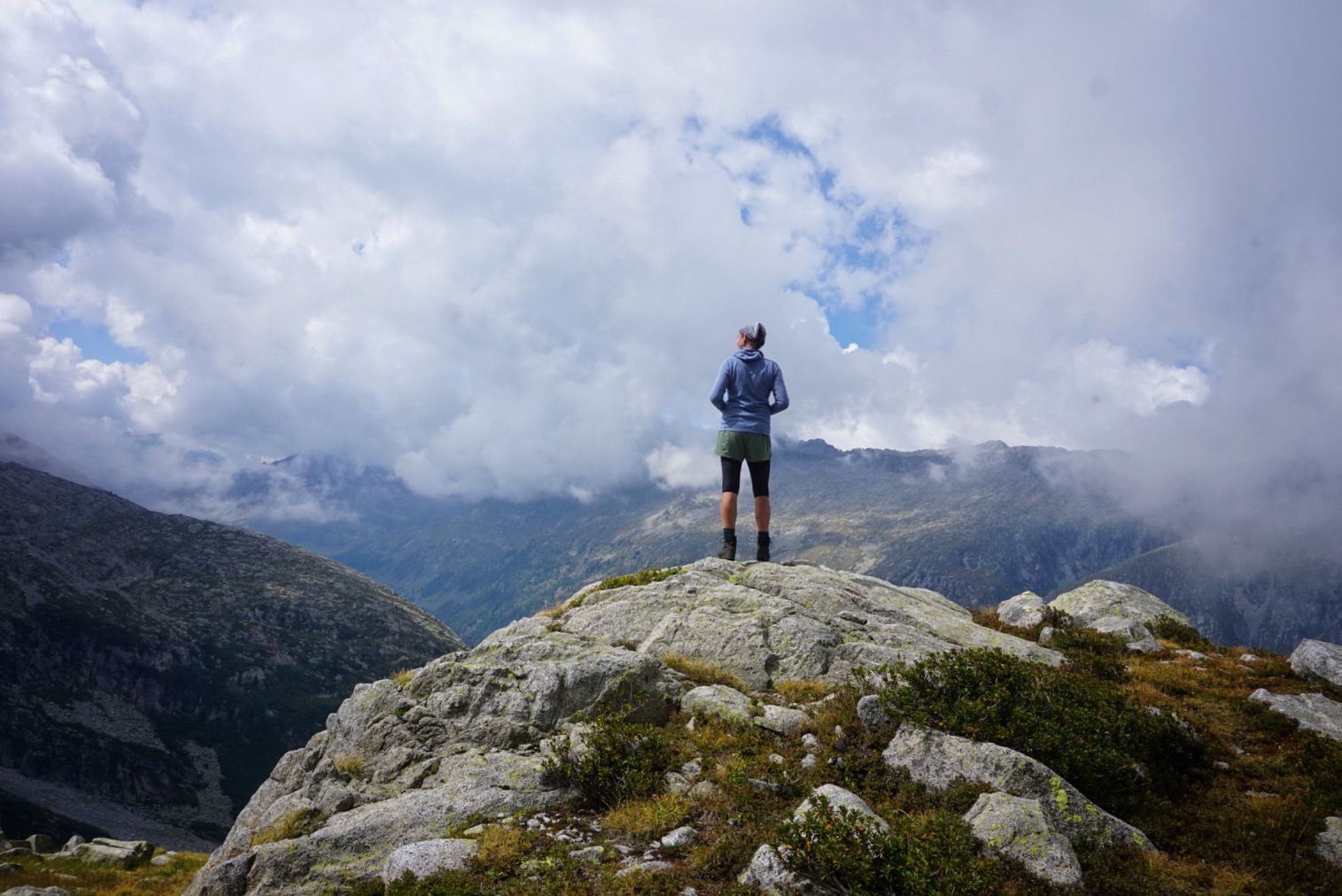
Adventure Adamello — trekking through an isolated Alpine region
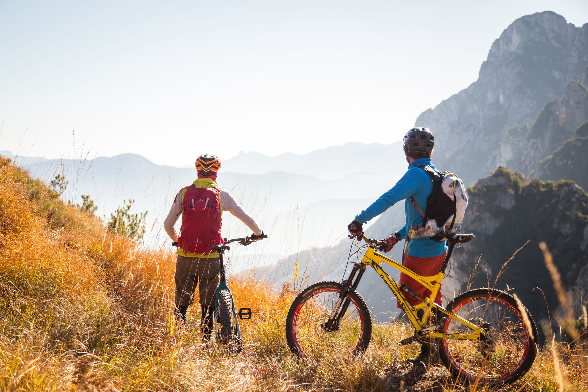
Fantastic autumnal cycling routes through Trentino – Italy’s MTB hotspot
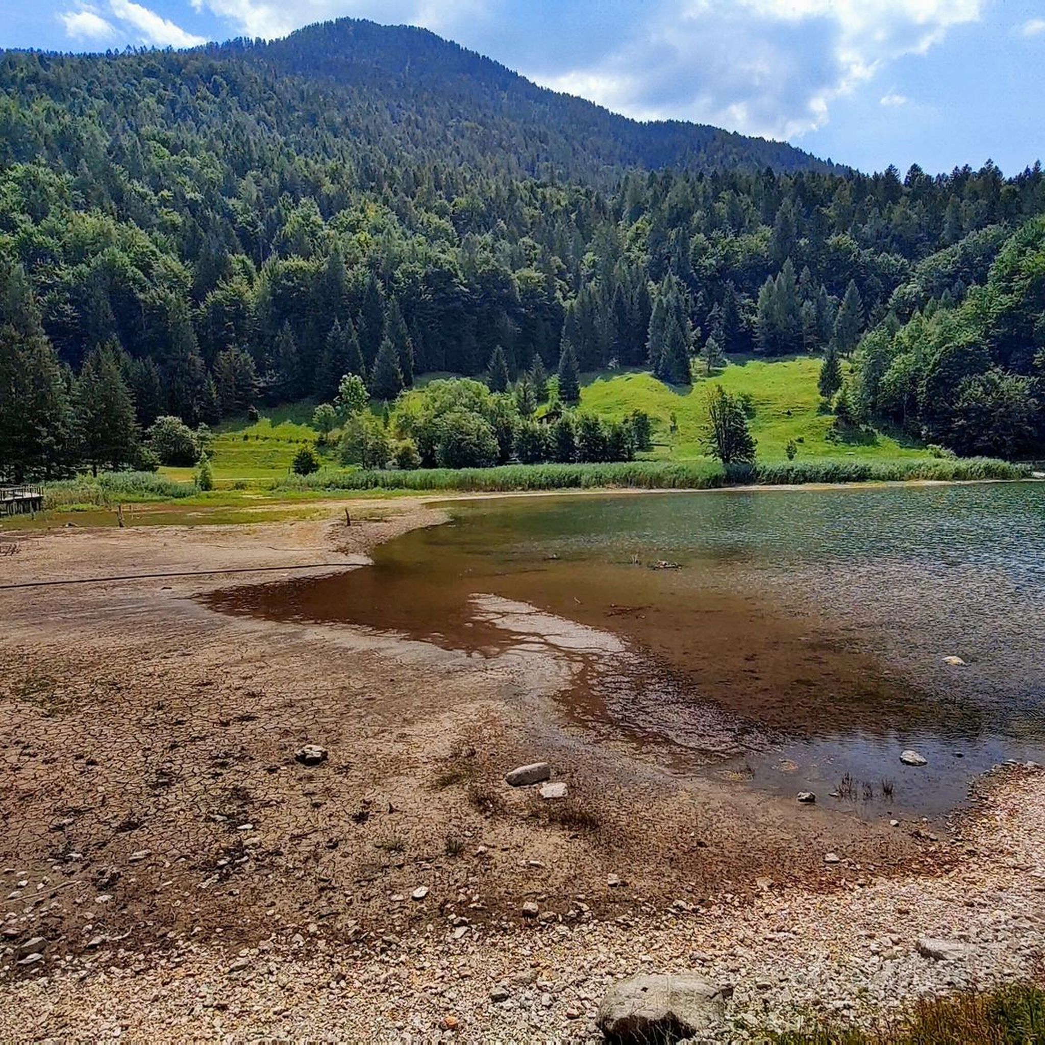
Hiking around Sella Giudicarie
MTB Trails around Sella Giudicarie

Gravel biking around Sella Giudicarie
Road Cycling Routes around Sella Giudicarie
Cycling around Sella Giudicarie
Running Trails around Sella Giudicarie
Other adventures around Sella Giudicarie


Tips from the Community

Anyone who comes from Grassi has done a lot. Pushing, gravel, steep!
0
0

beautiful path that leads to the Lissone refuge
0
0

The Scale dell’Adamè is a suggestive stretch of path that connects Malga Lincino (about 1,600 m) to the spectacular Valle Adamè, in the Adamello Park. It is an ancient military mule track, built during the First World War, which overcomes a difference in altitude of about 400 meters through a series of stone steps and hairpin bends set in the rock. The route: starts from the base of the cable car of the Rifugio Città di Lissone; it develops in the shade in the morning, among larches, rhododendrons and smooth rocks; it is well protected by wooden fences, but requires a sure step and trekking boots, especially on the descent, when the steps can be slippery. Once you have passed the Scale, you enter the Valle Adamè, a U-shaped glacial basin, crossed by the Poia torrent and surrounded by imposing peaks such as Monte Fumo and Corno dell’Adamè. From there you can continue towards the Rifugio Città di Lissone or the Baita Adamè, or venture towards the Vedretta dell’Adamè or the Bivacco Ceco Baroni. It is a short but intense stretch, which gives a true sense of conquest and a spectacular entrance into one of the most fascinating valleys of the Alpine arc.
1
0
The Rifugio Città di Lissone is located at 2,020 meters above sea level, in the heart of the Adamè Valley, in the Adamello Regional Park, in the municipality of Saviore dell’Adamello (BS). It is a much-loved destination for hikers, families and mountaineers, thanks to its spectacular location at the foot of the Adamello and the ease of access from Malga Lincino (about 1 hour's walk, 400 m of altitude difference). Originally an ENEL building, it was used as a barracks during the White War and transformed into a refuge by the CAI of Lissone in the 1970s. After a fire in 1986, it was rebuilt and reopened in 1991. Today it offers 70 beds, cuisine with local products (including from nearby Malga Adamè), and a warm welcome from the managers, both ski mountaineering instructors. The refuge is a starting point for: excursions towards Corno di Grevo (also via ferrata), crossings towards Rifugio Baita Adamè, historical explorations along the paths of the Great War.
0
0

Easy bike ride to the end of Val Concei. Tour on asphalt.
0
0
Equipment recommended! The route guidance is once again adventurous.
0
0

The Val Concei Nature Trail crosses the green heart of the Ledro Valley among woods, clearings and waterways, telling the forestry-pastoral history of the area. Along the way you will encounter wooden sculptures, forest animals and the magical Bosco della Fata Gavardina, before reaching the Rifugio al Faggio and the large centuries-old tree that gives its name to the structure. The trail can be easily traveled even by mountain bike and is suitable for children, thanks to the limited difference in altitude and the numerous rest points.
2
0

A starting point for excursions, you can also get there by bike from Pieve di Ledro. Restaurant closes at 2.30 pm then bar service for a refreshment.
0
0
Frequently Asked Questions
What is the overall difficulty level of mountaineering routes in Sella Giudicarie?
Sella Giudicarie offers a range of mountaineering challenges. While there are no easy routes listed in this guide, you'll find 4 moderate and 14 difficult routes. The region is known for its rugged peaks and technical sections, including via ferratas, making it particularly appealing to experienced mountaineers.
Are there any moderate mountaineering routes suitable for those looking for a less extreme challenge?
Yes, for those seeking a moderate challenge, consider the Trat Alpine Hut loop from La Rocca. This route is approximately 8.5 km long and typically takes around 3 hours 5 minutes to complete, offering a rewarding experience without the extreme technical demands of some other trails.
What natural features and landmarks can I expect to see along the mountaineering routes in Sella Giudicarie?
The Sella Giudicarie region is rich in natural beauty. You can expect stunning panoramic views of the Adamello and Presanella massifs, deep valleys like the Chiese Valley and Val d'Arnò, and unique granite rock formations. Highlights include the impressive Gorg d'Abiss Waterfall, and picturesque lakes such as Lake Ledro and Lake Tenno. Some trails also offer views of Lake Garda.
Are there any circular mountaineering routes in Sella Giudicarie?
Yes, many of the mountaineering routes in Sella Giudicarie are designed as loops, allowing you to start and finish in the same location. Examples include the moderate Trat Alpine Hut loop from La Rocca and the more challenging Doss Dela Torte loop from Concei, which is a longer route at nearly 18.4 km.
What do other mountaineers say about their experiences in Sella Giudicarie?
The mountaineering routes in Sella Giudicarie are highly regarded by the komoot community, boasting an average rating of 4.6 stars from over 70 reviews. Nearly 500 mountaineers have used komoot to explore this varied terrain, often praising the challenging technical climbs, the stunning alpine scenery, and the well-maintained trails.
Are there any specific peaks or summits that are popular for mountaineering in this area?
The region is part of the prominent Adamello Group, featuring Cima Cop di Breguzzo at 3,001 meters. Other notable peaks include Monte Re di Castello and Monte Campellio, accessible via Passo di Campo. The Parì Peak is also a significant natural monument in the area, offering rewarding views for those who reach its summit.
What is the best time of year for mountaineering in Sella Giudicarie?
The best time for mountaineering in Sella Giudicarie is typically during the warmer months, from late spring to early autumn, when trails are clear of snow and weather conditions are more stable. This allows for optimal enjoyment of the high alpine terrain and via ferrata sections. Winter offers opportunities for ski touring and ice climbing, but requires specialized equipment and experience.
Are there any options for beginners in mountaineering in Sella Giudicarie?
While this guide focuses on moderate to difficult mountaineering routes, the broader Sella Giudicarie region does offer areas suitable for beginners, such as Cima Grostè, which provides well-equipped routes and the support of experienced instructors. For those new to the sport, it's advisable to seek guided tours or specific beginner-friendly climbing areas before tackling the more challenging routes listed here.
Can I find mountain huts or refuges along the mountaineering trails?
Yes, the region features mountain huts that can serve as excellent stops during longer treks. For instance, the Rifugio Trivena, located at 1,650 meters in the Adamello area, is a beautiful and welcoming stop for mountaineers. The Trat Alpine Hut loop from La Rocca also suggests a route that includes an alpine hut.
Are there any historical sites or points of interest to explore while mountaineering?
Beyond the natural beauty, Sella Giudicarie holds historical significance. You can find historical World War I trenches along routes like the 'Pinnacolo del Passo del Frate via Trail 262'. The forts of Forte Larino and Forte Corno are also linked by hiking trails, offering a powerful atmosphere of remembrance and a glimpse into the region's past.
How long do the mountaineering routes in Sella Giudicarie typically take to complete?
The duration of routes varies significantly based on difficulty and distance. Shorter, difficult routes like the Ferrata Signora delle Acque loops can take around 1 hour 45 minutes to 2 hours. Longer, more challenging routes, such as the Ridge Trail to Monte Cadria – Mount Cadria loop from Lenzumo, can take approximately 6 hours 41 minutes, while the Doss Dela Torte loop from Concei can extend to nearly 9 hours.
Most popular routes around Sella Giudicarie
Most popular attractions around Sella Giudicarie

Get inspired with the komoot mobile app


Explore more
Browse the best Mountain Hikes & Routes in other regions.
