The best running trails around Gandellino
4.2
(18)
1,708
runners
10
runs
Jogging routes around Gandellino traverse the upper Val Seriana in Lombardy, offering diverse landscapes within the Orobie Park. The region is characterized by its position on the left bank of the River Serio, surrounded by extensive mountain ranges and featuring numerous alpine lakes. Trails often lead through medium-dense forests, open pastures, and along valley floors, providing varied terrain for running.
Best jogging routes around Gandellino
- The most popular jogging route is Lago Spigorel loop from Gandellino, a 10.4 miles…
Last updated: August 15, 2026
27
runners
14.1km
01:31
230m
230m
Moderate run. Good fitness required. Mostly paved surfaces. Suitable for all skill levels.
18
runners
17.8km
03:30
1,280m
1,280m
Hard run. Very good fitness required. Sure-footedness, sturdy shoes and alpine experience required.

Sign up for free
16
runners
15.8km
02:47
1,040m
1,040m
Hard run. Very good fitness required. Sure-footedness, sturdy shoes and alpine experience required.
5.0
(1)
14
runners
10.5km
01:43
670m
670m
Hard run. Very good fitness required. Sure-footedness, sturdy shoes and alpine experience required.
19
runners
13.6km
01:28
240m
240m
Moderate run. Good fitness required. Mostly paved surfaces. Suitable for all skill levels.
Get access to more routes and recommendations from other explorers.
Sign up for free
Already have an account?
Our route recommendations are based on thousands of hikes, rides, and runs completed by other people on komoot.
Start today with a free account
Your next adventure awaits.
Login or Signup


Other adventures around Gandellino

Tips from the Community

The Cappelletta di San Carlo, which you encounter when climbing from Tezzi Alti di Gandellino towards Val Sedornia, is a small place of alpine devotion dedicated to Saint Charles Borromeo, a saint greatly venerated throughout Lombardy. Its origin is linked to popular tradition and the widespread presence of the Borromean cult in the Bergamo valleys, especially between the 17th and 18th centuries, when many rural communities erected chapels and votive markers to ask for protection against diseases, famines, and natural disasters. The chapel is located along an ancient connecting path between the hamlets of Tezzi and the pastures of Sedornia: a mandatory passage point for shepherds, farmers, and travelers. Precisely for this reason, the local community wanted to place a small, simple stone sacred building here, as a sign of protection for those undertaking the climb towards the mountain pastures. Its position, slightly raised from the path and overlooking the Sedornia stream, recalls the typical function of alpine votive chapels: to bless the journey and watch over the valley. Over time, the chapel has become an identity reference for the inhabitants of Gandellino and Tezzi. Even today, it is carefully maintained and is part of local cultural routes, as confirmed by tourist itineraries that include it among the historical points of interest in the area.
0
0
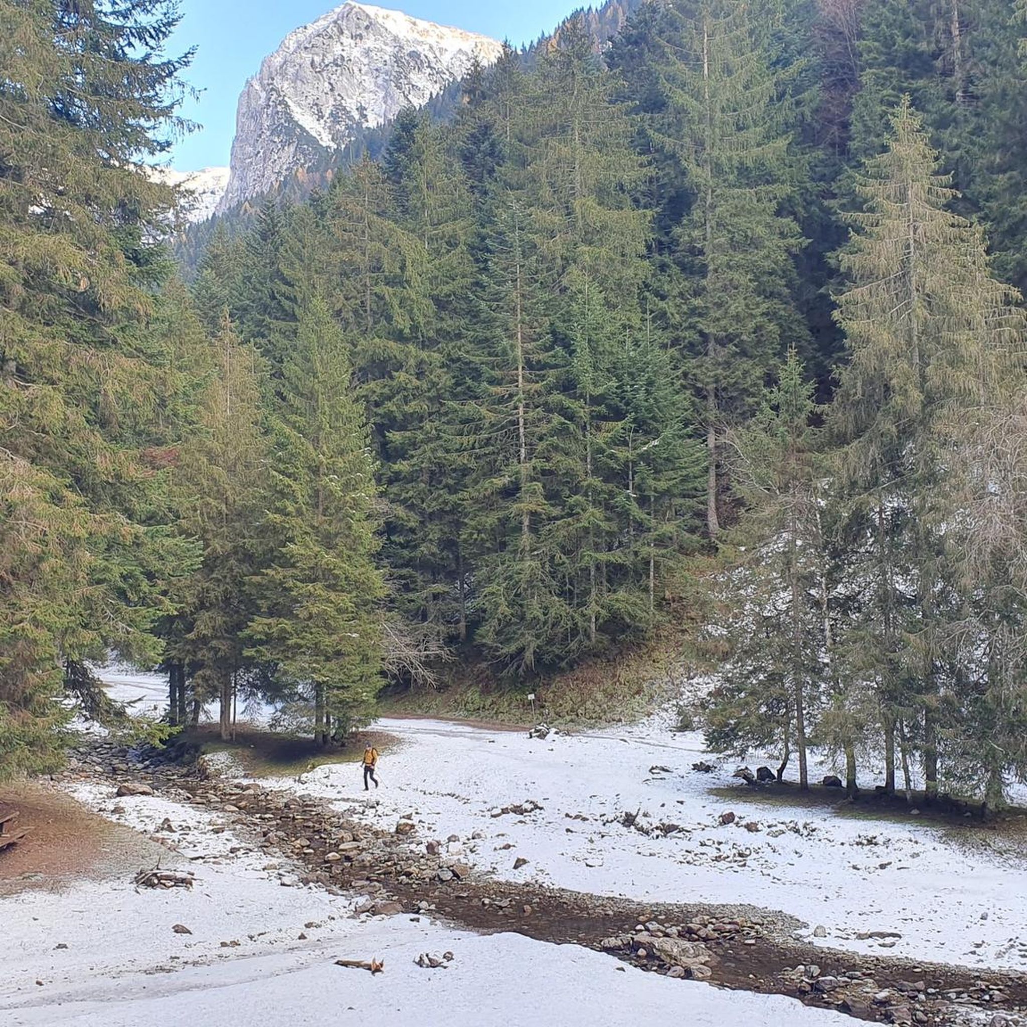
The Spiazzi dell'Acqua Picnic Area is one of the most peaceful and pleasant spots in the Gandellino area, surrounded by greenery and perfect for a relaxing break before or after a hike. Located in an easily accessible clearing, it offers tables, natural shade, and a cool atmosphere thanks to the proximity to the water. It's a simple yet meticulously maintained spot, ideal for families, groups, or anyone looking to enjoy a quiet moment in nature. Its secluded location and wooded setting make it a small haven of peace, convenient to reach yet far from the noise.
0
0
The Baita di Mezzo in Vigna Vaga is one of the most evocative spots in the Sedornia Valley: a stone hut nestled in the pastures, with a small shelter and a nearby water source. Directly in front of the hut, on a grassy knoll overlooking the valley below, are the Tre Croci, simple wooden crosses that form one of the most recognizable symbols of Sedornia. Together, they create a truly atmospheric place: quiet, panoramic, and perfect for a contemplative break before continuing toward the upper pastures. It is one of the most iconic spots in the entire valley, where nature, history, and tranquility harmoniously meet.
0
0
The erratic boulder, a parallelepiped of reddish-purple verrucano, has a volume of about 20 cubic meters and emerges from the ground by about 130 cm. The walls facing East and West have detached from the boulder due to weathering, rotating slightly outwards and show an outline of carved steps to facilitate access to the boulder. The upper part, slightly concave and sloping towards the valley, features various rough-hewn but somewhat symmetrically arranged carvings, cupules, and small channels: they are mainly distributed along three parallel lines. The face facing North also shows a series of cup-shaped carvings arranged in an oblique line. The shape and distribution of these carvings are such that they cannot be considered of natural origin. This altar stone was presumably a sacred place for the ancient priests, the Druids of the Celts. Perhaps a place of sacrifice. According to studies carried out here and in other areas of the Alps, it is believed that the altar stone was used for sacred rites between the third and first millennia BC. In reality, the sacredness of this place is not only related to prehistory. The name "Sedornia" is a transformation of the Roman name "Sáturnia", thus another religious element, the god Saturn, god of nature, prosperity, and abundance.
0
0
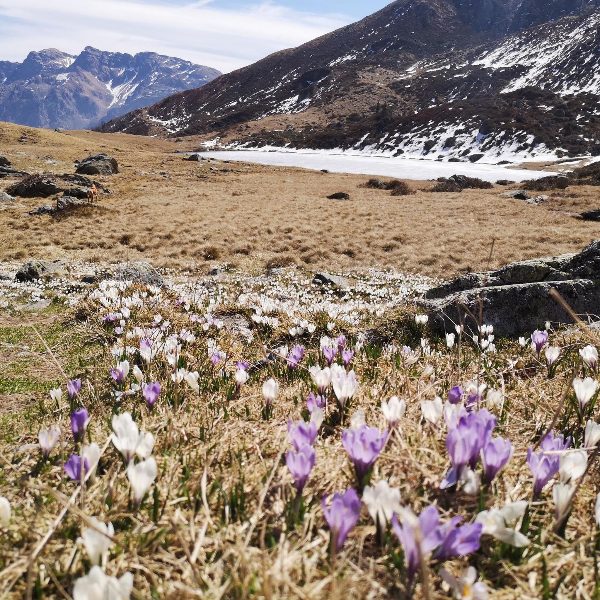
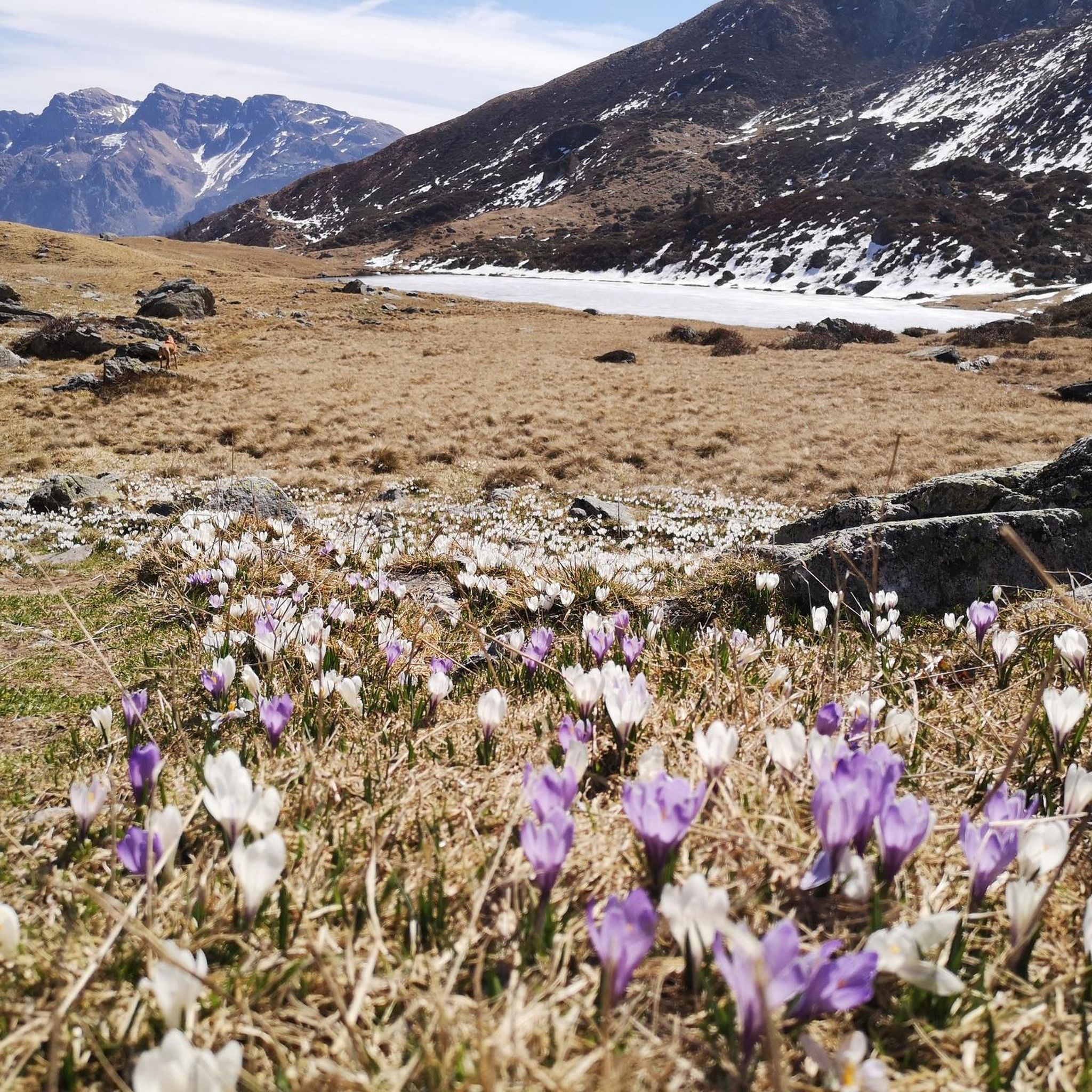
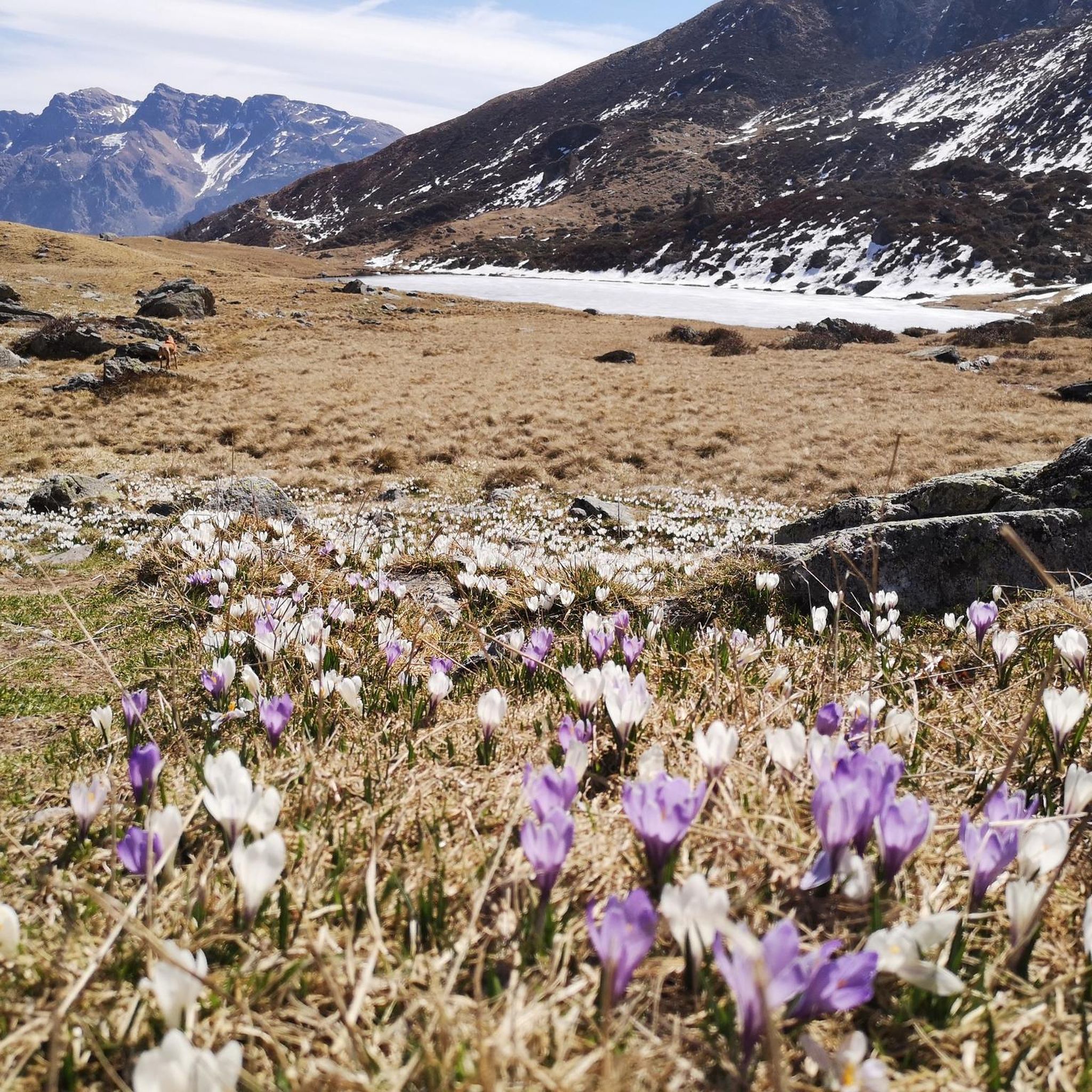
Lake Spigorel is a small alpine lake in the Sedornia Valley, accessible from Tezzi Alti (Gandellino) via CAI trail 309. It is a popular destination for its wild location between Monte Barbarossa and Vigna Vaga. 🚶♂️ Route from Tezzi Alti Key details Start: Tezzi Alti (969 m) Arrival: Lake Spigorel (approximately 1,800 m) Difficulty: Hiking (E) Duration: Outward journey: ~3 hours Return journey: ~2 hours Elevation gain: ~830 m General route outline Take the forest road of the Sedornia Valley. Pass by the Chapel of San Carlo (1,163 m). Continue through woods and pastures to the Vigna Vaga huts. The final stretch climbs steeply toward the lake basin. ⭐ Why go there Wild and untouched environment. Excellent viewpoint over the Sedornia Valley. Option to continue toward Sponda Vaga or Rifugio Mirtillo for longer itineraries.
0
0
free parking but limited spaces available.
0
0

Convenient free parking very close to the trailhead. It doesn't have a huge number of spaces, but there are about fifteen available.
0
0
Beautiful open space, also equipped with grills and a covered structure, I believe built by the Alpine troops. There's a fountain and open spaces with wooden benches.
0
0
Frequently Asked Questions
How many running trails are available around Gandellino?
Gandellino offers a wide selection of running routes, with over 60 trails available for exploration. These routes cater to various preferences, from moderate valley runs to challenging mountain trails within the Orobie Park.
Are there running routes suitable for beginners or easy jogs in Gandellino?
While many routes in Gandellino are rated as difficult, there are options for more accessible runs. For instance, the Valbondione Cycle Path loop from Gandellino is a moderate 8.7-mile path that follows the River Serio, offering a less strenuous experience.
What kind of terrain can I expect on the running trails in Gandellino?
The running trails in Gandellino offer diverse terrain. You can expect paths through medium-dense forests, open pastures, and along valley floors. Many routes also feature significant elevation changes as they traverse the extensive mountain ranges of the Orobie Park, providing varied experiences from gentle runs to challenging uphill jogs.
Are there any challenging or advanced running routes for experienced runners?
Yes, Gandellino is well-suited for experienced runners seeking a challenge. The region is known for its demanding mountain trails. For example, the Rifugio Fratelli Calvi loop from Gandellino is a difficult 11.1-mile trail leading through the Orobie mountains and past alpine lakes, offering significant elevation gain.
What do other runners say about the trails in Gandellino?
The running routes in Gandellino are highly rated by the komoot community, with an average score of 4.6 stars. Over 2000 runners have used komoot to explore the area, often praising the varied terrain, scenic beauty, and the opportunities for both moderate and challenging runs.
Can I find running routes that feature waterfalls near Gandellino?
Absolutely! The Gandellino area is rich in natural beauty, including several waterfalls. You can find routes that pass by impressive cascades such as the Sanguigno Stream Waterfalls or the majestic Serio Falls. The Sanguigno Stream Waterfalls – Gianpace Hut loop from Valgoglio is one such difficult route that incorporates these natural wonders.
Are there running paths that go past alpine lakes in the Gandellino area?
Yes, the region is dotted with beautiful alpine lakes that make for stunning backdrops to your run. Routes like the Lago Spigorel loop from Gandellino take you through scenic valleys towards lakes. Other notable lakes in the wider Orobie Park include Gleno Dam and Lake, Barbellino Reservoir, and Laghi Gemelli.
What natural attractions can I explore while jogging in Gandellino?
Beyond the running itself, Gandellino offers numerous natural attractions. You can jog through the 'oasis of nature' that is Val Sedornia, explore the vast landscapes of the Orobie Park, or discover historical sites like the Gleno Dam. The area also features several mountain passes such as Branchino Pass and Passo di Mezzeno, offering breathtaking views.
Are there scenic running routes with great views in Gandellino?
Many running routes in Gandellino offer spectacular views, especially those that ascend into the mountains. The Orobie Park provides extensive natural landscapes with towering peaks and alpine lakes. Trails leading to mountain huts, such as the Antonio Curò Mountain Hut, offer excellent panoramic views of Valbondione and the surrounding valleys, making for a rewarding scenic run.
Are the running trails around Gandellino suitable for families?
While many trails are challenging, some areas are suitable for family-friendly jogs or walks. The Valbondione Cycle Path, for example, offers a more accessible and flatter route along the River Serio, which can be enjoyed by families. Exploring the historical hamlets with their rustic buildings and cobbled mule tracks can also provide leisurely paths.
Are there dog-friendly running routes in Gandellino?
Gandellino's natural environment within the Orobie Park generally welcomes dogs on trails, provided they are kept under control, especially in areas with livestock or wildlife. It's always recommended to check local signage or specific park regulations for any restrictions, but many of the scenic paths are suitable for running with your canine companion.
What is the best time of year to go running in Gandellino?
The summer months are generally considered ideal for outdoor activities like running in Gandellino. The weather is typically pleasant, and the trails are more accessible. However, the varied terrain means that spring and autumn can also offer beautiful conditions, with vibrant foliage or blooming wildflowers, though some higher-altitude routes might still have snow early in the season.
Are there any circular running routes in Gandellino?
Yes, many of the running routes in Gandellino are designed as loops, allowing you to start and finish in the same location. Examples include the popular Lago Spigorel loop from Gandellino and the Valbondione Cycle Path loop from Gandellino, providing convenient options for your run.
Most popular attractions around Gandellino

Get inspired with the komoot mobile app


Explore more
Browse the best Running Trails & Routes in other regions.
