The best mountain hikes around Isola Di Fondra
4.7
(21)
151
hikers
8
hikes
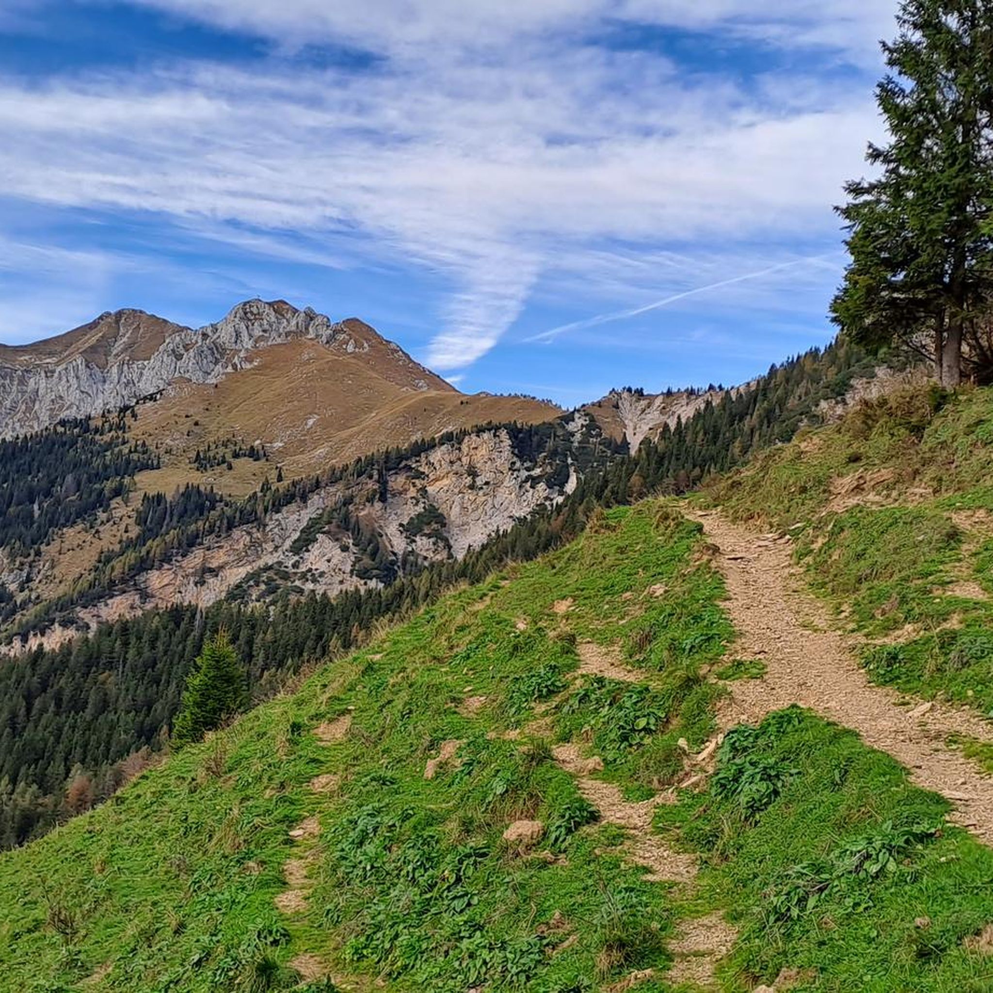
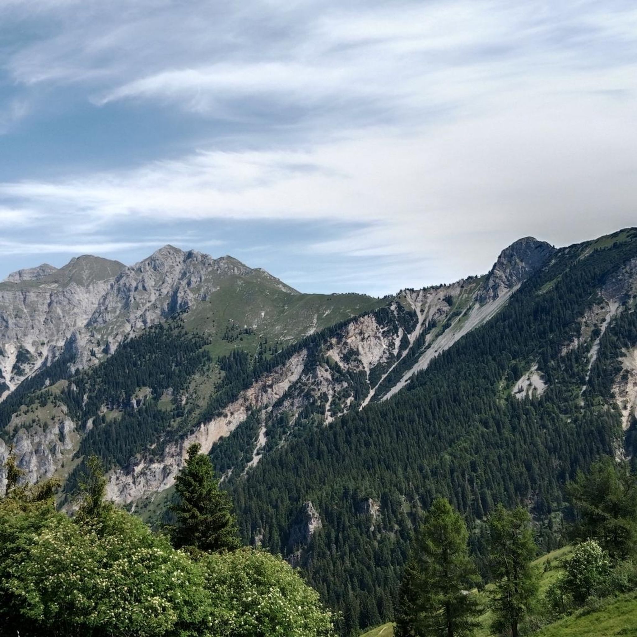
Mountaineering routes around Isola Di Fondra are situated within the Orobie Alps Park, offering diverse and unspoiled natural landscapes. The region features the steep slopes of Mount Torcola and Pietra Quadra, with elevations ranging from 630 to 2,356 meters above sea level. The Brembo River defines the valley, and ancient mule tracks wind through picturesque chestnut and oak forests, providing varied terrain for mountaineers. This area is characterized by its rugged mountain peaks and extensive network of trails.
Best mountaineering…
Last updated: July 4, 2026
4.5
(8)
60
hikers
10.7km
06:52
1,270m
1,270m
Hard mountaineering route. Very good fitness required. Sure-footedness, sturdy shoes and alpine experience required.
5.0
(1)
18
hikers
7.69km
03:29
660m
660m
Moderate mountaineering route. Good fitness required. Mostly accessible paths. Sure-footedness required.

Sign up for free
5.0
(2)
14
hikers
14.3km
06:17
1,000m
1,000m
Hard mountaineering route. Very good fitness required. Sure-footedness, sturdy shoes and alpine experience required.
6
hikers
Hard mountaineering route. Very good fitness required. Sure-footedness, sturdy shoes and alpine experience required.
4.5
(2)
7
hikers
15.5km
07:56
1,310m
1,310m
Hard mountaineering route. Very good fitness required. Sure-footedness, sturdy shoes and alpine experience required.
Get access to more routes and recommendations from other explorers.
Sign up for free
Already have an account?
Our route recommendations are based on thousands of hikes, rides, and runs completed by other people on komoot.
Start today with a free account
Your next adventure awaits.
Login or Signup
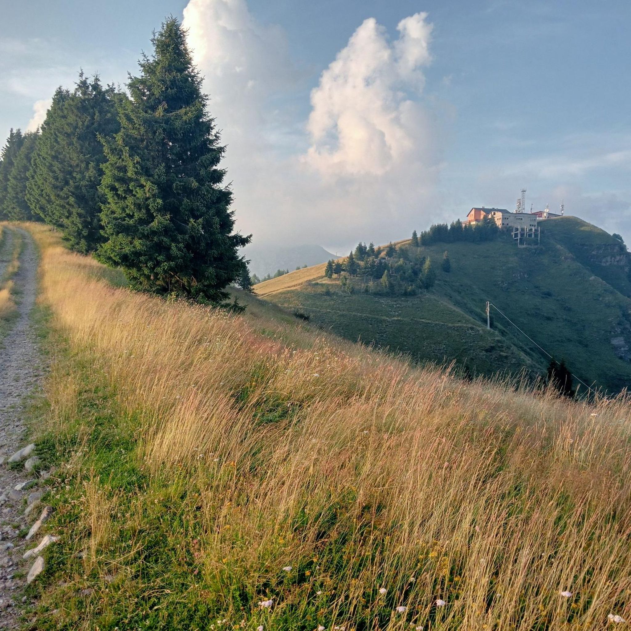

Tips from the Community

beautiful view and a nice place to pass through for many tours
1
0

On the summit of Pizzo Arera there is a cast iron cross that stands out against the fantastic panorama of the Orobie.
0
0

departure point for excursions, the most popular being the flower trail. Be careful to display the ticket that can be purchased at the start of the climb.
0
0
halfway along the circular route from Plassa on the Arera flower trail
1
1
arrival point halfway around the ring on the flower trail in Arera
1
0


very nice trekking, from Capanna 2000 you go up to the summit cross, a route that is not impossible but not suitable for everyone.
0
1

Frequently Asked Questions
How many mountaineering routes are available around Isola di Fondra?
There are over 15 mountaineering routes around Isola di Fondra, primarily located within the Orobie Alps Park. The area offers a diverse range of trails, with the majority being classified as difficult.
What is the general difficulty level of mountaineering routes in Isola di Fondra?
The mountaineering routes in Isola di Fondra are predominantly challenging, with 17 out of 19 routes classified as difficult. There are also a couple of moderate routes available for those seeking a slightly less strenuous experience.
What kind of terrain can I expect on mountaineering routes in Isola di Fondra?
You can expect diverse and rugged mountainous terrain. Routes often feature significant elevation changes, ranging from 630 to 2,356 meters above sea level. The trails wind through ancient mule tracks, forests, and valleys, leading to prominent peaks like Mount Torcola and Pizzo di Pietra Quadra.
Are there any notable natural features or landmarks to see along the mountaineering routes?
Yes, the region is rich in natural beauty and historical elements. You might encounter picturesque waterfalls like the Sambuzza Valley Waterfall, or pass through charming hamlets such as Pagliari Village. The area is also known for its pristine springs and the Brembo River flowing through the valley.
Where can I find panoramic views in the Isola di Fondra area?
For stunning panoramic views, consider routes that ascend to higher elevations. The region research highlights an Observatory in Castelletto, accessible via a trail from Via Piana, offering expansive vistas. Peaks like Pizzo Arera are also noted as some of the best viewpoints in the Orobie Mountains.
Are there any circular mountaineering routes in Isola di Fondra?
Yes, several circular routes are available. For example, the Rifugio Gemelli loop from Carona is a difficult 7.02 miles (11.3 km) path offering panoramic mountain vistas. Another option is the Corna Nèel loop from Valcanale, an 8.78 miles (14.1 km) trail through mountainous terrain.
What do other mountaineers enjoy the most about mountaineering in Isola di Fondra?
The area is highly rated by the komoot community, with an average score of 4.7 stars from over 40 reviews. Mountaineers often praise the diverse and unspoiled natural landscape, the challenging terrain, and the breathtaking panoramic views offered by the Orobie Alps.
Are there mountain huts available along the routes for breaks or overnight stays?
Yes, the region features several mountain huts that can serve as crucial base camps or destinations. Notable huts include Capanna 2000 Hut, Laghi Gemelli Mountain Hut, and Fratelli Calvi Hut. These provide opportunities for longer explorations of the high-altitude terrain.
Are there any routes that feature waterfalls?
Yes, some routes incorporate waterfalls into their scenic offerings. For instance, the Pagliari Historic Village – Val Sambuzza Waterfall loop from Carona is a difficult route that explores historic villages and features an impressive waterfall. You can also find other waterfalls like the Sanguigno Stream Waterfalls and Branzi Waterfall in the wider area.
Is Isola di Fondra suitable for bouldering or rock climbing?
Beyond mountaineering, Isola di Fondra is indeed known for bouldering and rock climbing. It is home to the "Fondra Block," a natural bouldering area with a variety of routes for all skill levels. You can find more information about this area on VisitBrembo.it.
Are there any moderate mountaineering routes for less experienced individuals?
While most routes are difficult, there are a couple of moderate options. One such route is the Laghi Gemelli loop from Bar Ötzi, which covers 8.93 miles (14.4 km) and takes approximately 4 hours 32 minutes to complete.
Most popular routes around Isola Di Fondra
Most popular attractions around Isola Di Fondra

Get inspired with the komoot mobile app


Explore more
Browse the best Mountain Hikes & Routes in other regions.
