The best running trails around Pomarolo
4.5
(180)
7,643
runners
213
runs
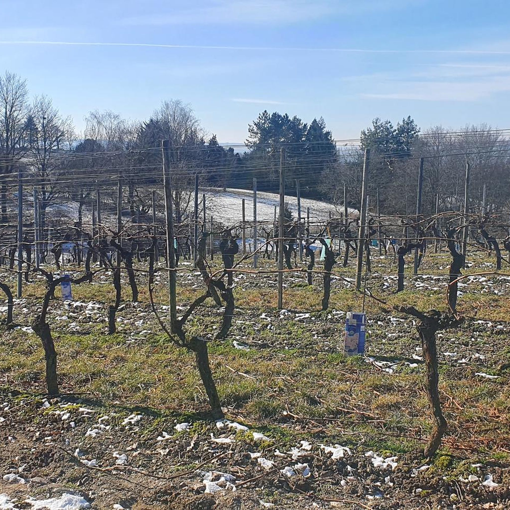
Jogging routes around Pomarolo traverse a landscape rich with agricultural beauty and riverine scenery. The region is characterized by extensive apple and cherry orchards, as well as vineyards, offering fragrant and relatively flat to gently rolling terrain. Situated on the right bank of the Adige River, Pomarolo provides access to hilly paths along the river valley and elevated routes towards the Cimana area, which feature more significant elevation changes. These varied natural features, combined with panoramic views of the Valle…
Last updated: October 13, 2026
5.0
(6)
152
runners
8.74km
00:54
20m
20m
Moderate run. Good fitness required. Mostly paved surfaces. Suitable for all skill levels.
63
runners
10.5km
01:05
30m
30m
Moderate run. Good fitness required. Mostly paved surfaces. Suitable for all skill levels.

5.0
(1)
61
runners
Hard run. Very good fitness required. Mostly paved surfaces. Suitable for all skill levels.
5.0
(1)
34
runners
5.37km
00:34
50m
50m
Moderate run. Good fitness required. Mostly paved surfaces. Suitable for all skill levels.
3.0
(1)
45
runners
12.5km
01:18
30m
30m
Moderate run. Good fitness required. Mostly paved surfaces. Suitable for all skill levels.
Get access to more routes and recommendations from other explorers.
Already have an account?
Our route recommendations are based on thousands of hikes, rides, and runs completed by other people on komoot.
Start today with a free account
Your next adventure awaits.
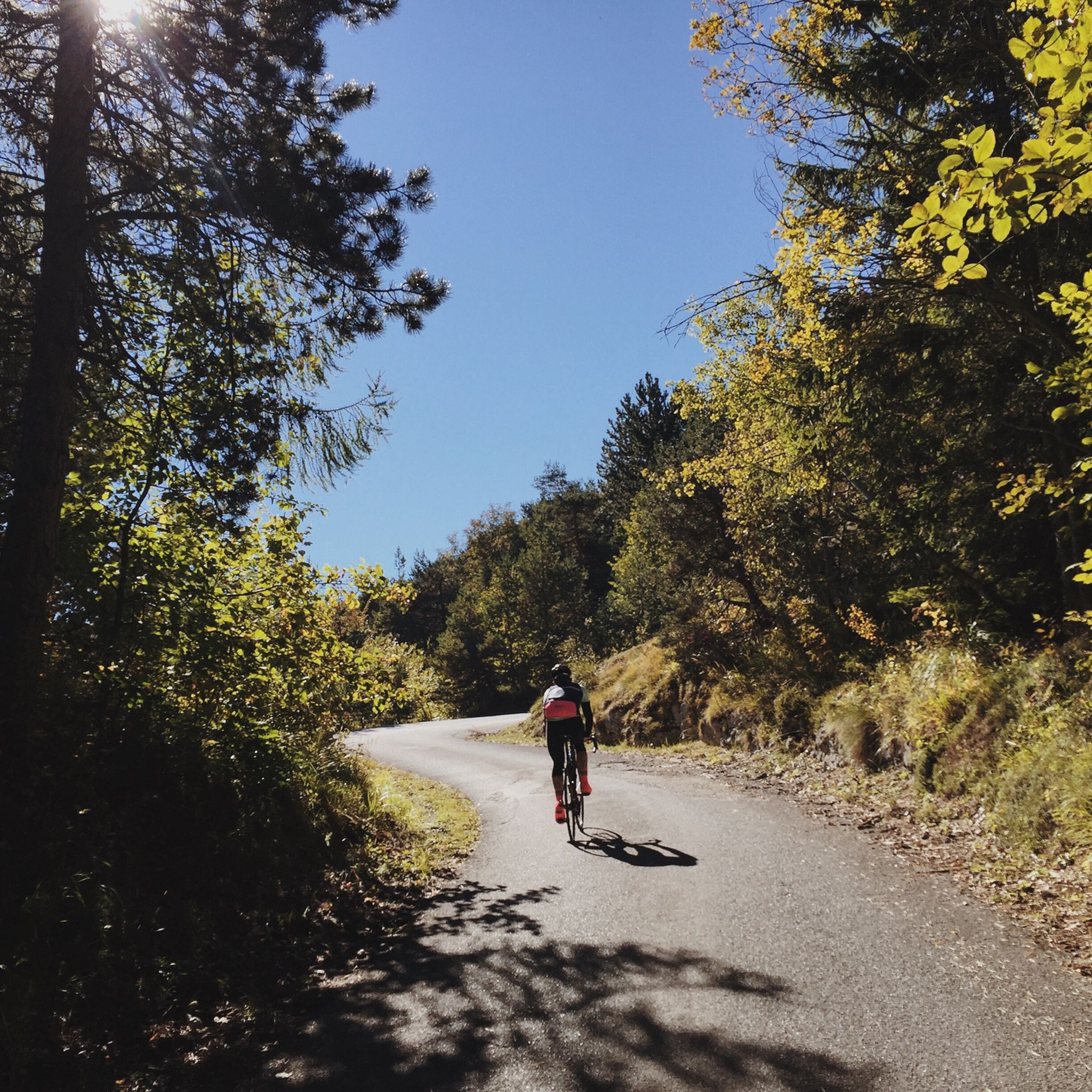
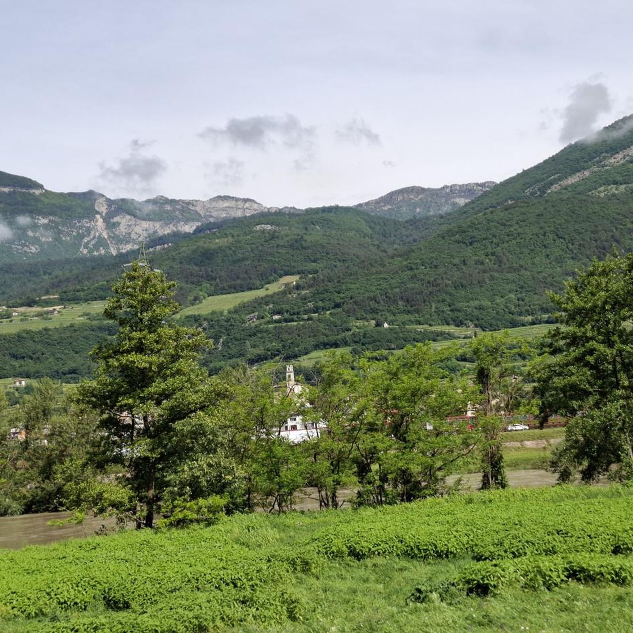
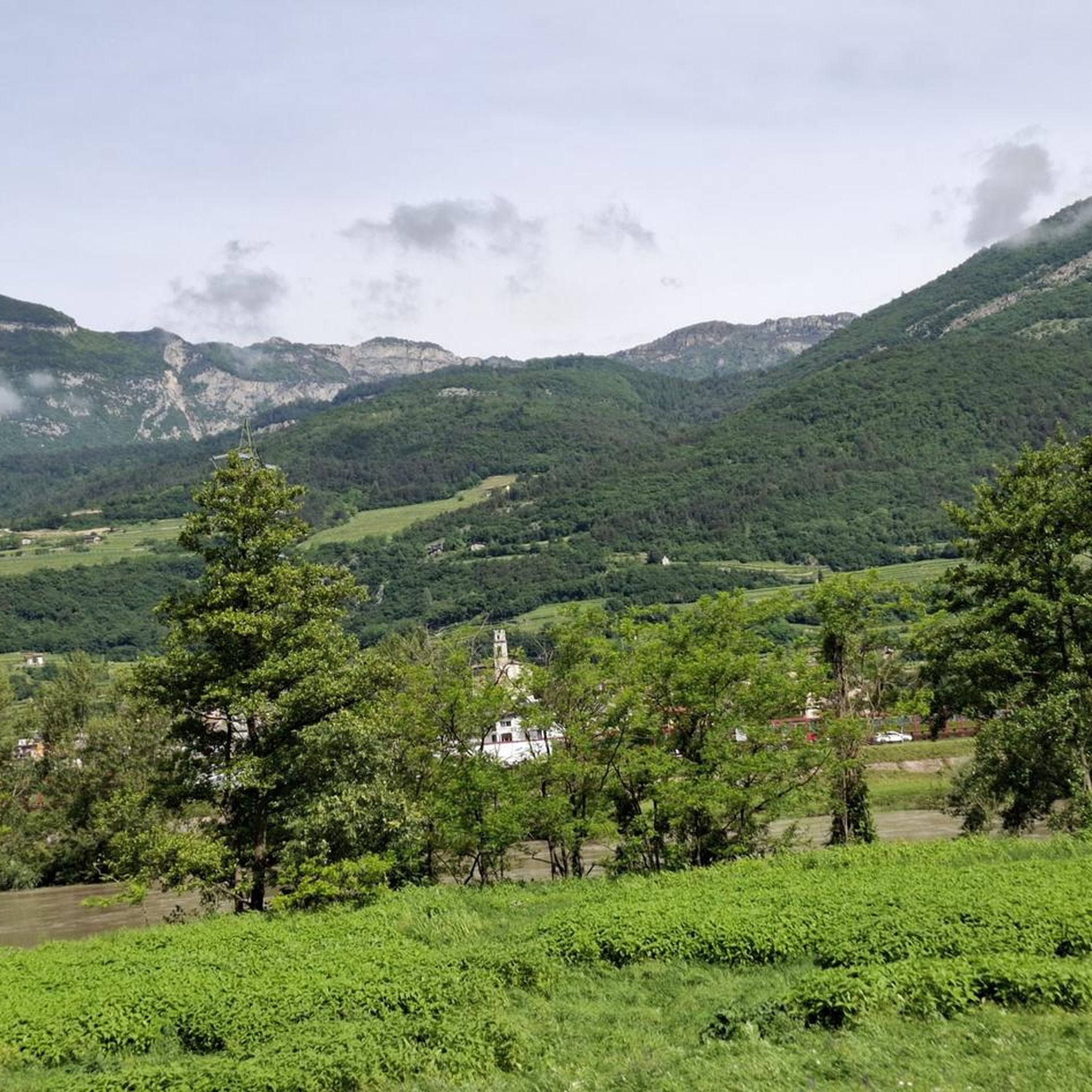
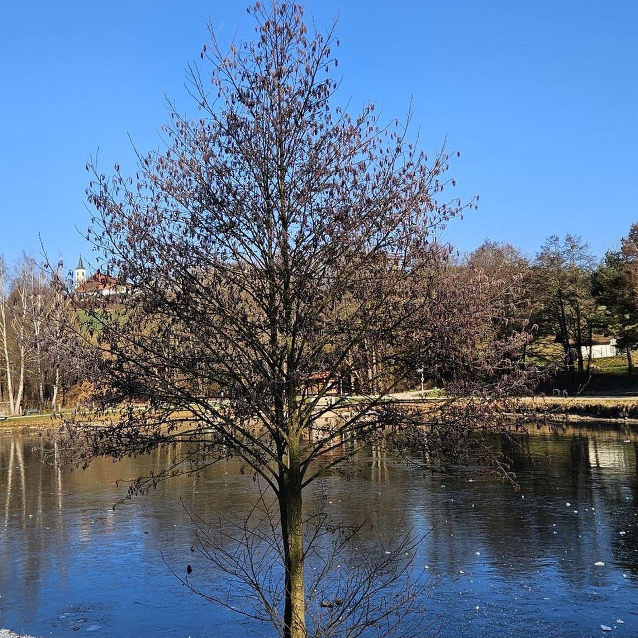
Tips from the Community

Nice place in Rovereto
0
0

Bridge to add the Eurovelo 7 cycle path descending from the Altopiano della Vigolana
0
0

Fantastic trail on a wide dirt road, some potholes but it's perfectly fine like this. A very pleasant alternative to the cycle path on the opposite bank.
0
0

Always a pleasure to travel this stretch of the E7 cycle path, the temperature is always pleasant even in summer.
0
0

Rather boring stages on the Via Claudia Augusta
1
0

Small square in Borgo Sacco before arriving at Bicigril. There is a fountain for refueling.
1
0

Art installation on the development of the wheel in human history.
0
0

Inaugurated in 1877 during the Austro-Hungarian Empire, it has a total length of 35 meters. The Rovereto tobacco factory began operations around mid-1854. By the end of the 19th century, it employed over a thousand workers, mostly women (called zigherane). The goal of providing employment to the Borgo Sacco, Rovereto, and the entire Vallagarina area was thus achieved. A few years after the factory opened, the zigherane began taxing themselves to build a bridge over the Leno River, significantly reducing the daily commute to and from the factory. Until then, the only bridge in Rovereto was the Forbato Bridge in Santa Maria. They later began fighting to secure the first company nursery in Trentino (which opened in 1924).
1
0
Frequently Asked Questions
What kind of terrain can I expect on running trails in Pomarolo?
Running routes in Pomarolo primarily traverse a landscape rich with agricultural beauty, including extensive apple and cherry orchards, as well as vineyards. You'll find paths along the Adige River, offering relatively flat to gently rolling terrain. For those seeking more challenge, there are also hilly paths along the river valley and elevated routes towards the Cimana area, which feature more significant elevation changes.
Are there running routes for different fitness levels in Pomarolo?
Yes, Pomarolo offers a variety of running routes suitable for different fitness levels. The network includes options ranging from easy, gentle riverside runs to more challenging routes with greater elevation changes. Out of over 140 available routes, you'll find approximately 10 easy, 73 moderate, and 64 difficult trails to choose from.
What natural features will I encounter on a run in Pomarolo?
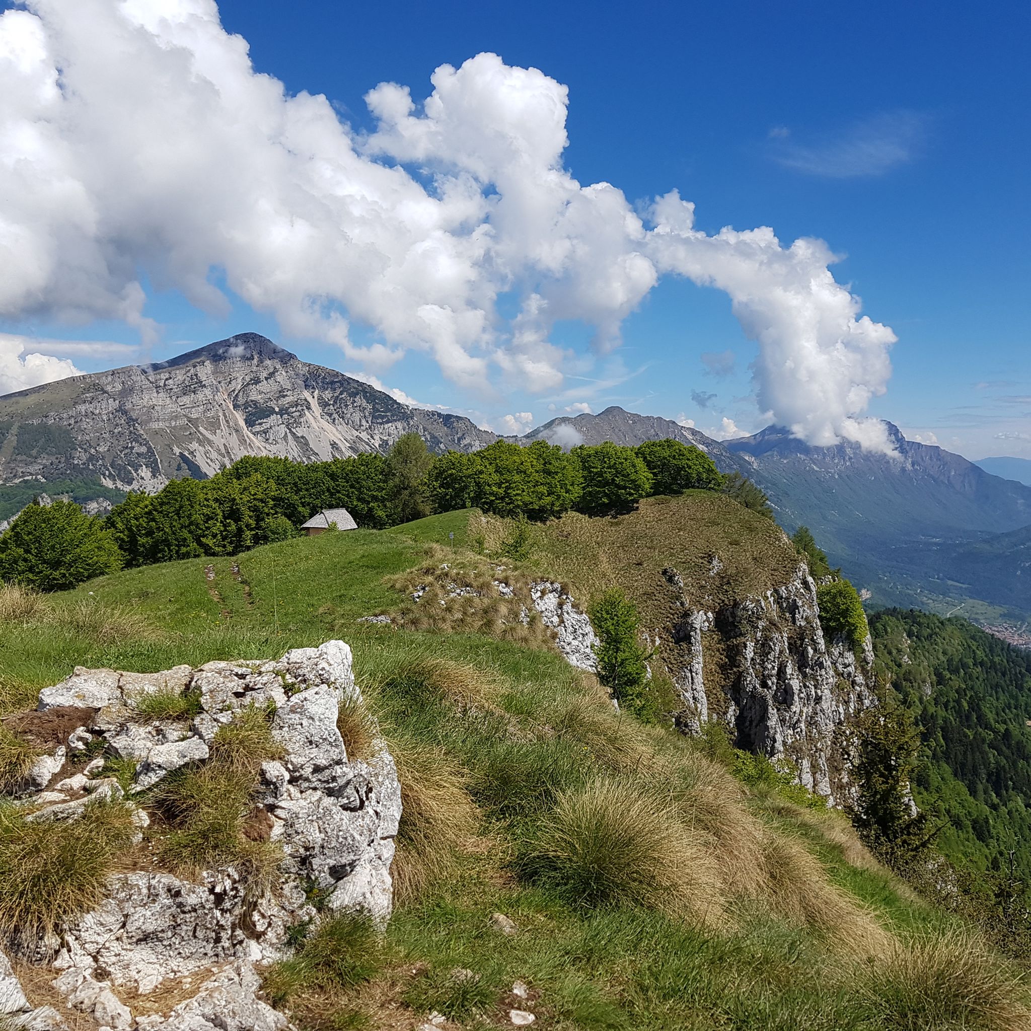
As you run through Pomarolo, you'll be immersed in its natural beauty. The region is famous for its extensive apple and cherry orchards, and vineyards, especially fragrant during blooming or harvest seasons. Many routes follow the right bank of the Adige River, offering scenic riverside views. Elevated paths also provide stunning panoramas of the Valle dell'Adige (Adige Valley).
Are there any historical landmarks or scenic viewpoints along the running paths in Pomarolo?
Yes, you can enrich your run with historical sights and panoramic views. The ancient ruins of Castel Barco, overlooking the Vallagarina valley, can be incorporated into your route. Additionally, ascending towards hamlets like Savignano and Servis offers unique vistas of the Adige Valley. While not directly on every running path, you can find other points of interest like the Marocche di Dro Nature Reserve or the Forra del Lupo – World War I Trench nearby.
What do other runners enjoy most about jogging in Pomarolo?
The running routes in Pomarolo are highly rated by the komoot community, with an average score of 4.6 stars from over 70 reviews. Runners often praise the diverse terrain, from lush orchards and vineyards to scenic paths along the Adige River, and the options available for various ability levels.
Are there any circular running routes available in Pomarolo?
Yes, there are several excellent circular running routes. A popular choice is the Adige Valley loop from Pomarolo, which is about 6.9 miles (11.2 km) long and takes approximately 1 hour 10 minutes to complete. Another option is the Running loop from Pomarolo, a moderate 6 km trail.
Can I find long-distance running trails in the Pomarolo area?
Absolutely. For those looking for longer runs, routes like the Adige Valley Cycle Path – Adige Valley loop from Villa Lagarina offer a challenging 16.8 km (10.4 miles) experience. Another option is the Adige Valley loop from Volano, which is 8.8 miles (14.2 km) and provides scenic riverside running.
What is the best time of year for jogging in Pomarolo?
Pomarolo offers a pleasant environment for jogging throughout much of the year. The spring and autumn seasons are particularly appealing, with comfortable temperatures and the added beauty of blooming orchards or vibrant fall foliage. Running through the orchards and vineyards is especially fragrant during blooming or harvest seasons. Summer can also be enjoyable, particularly in the mornings or evenings, though some routes may be more exposed to the sun.
Are there any lakes or natural monuments near Pomarolo that I can visit after a run?
Yes, the area around Pomarolo features beautiful lakes and natural monuments. You could visit Lake Cavedine or explore the Marocche di Dro Nature Reserve. These offer additional opportunities for relaxation or exploration after your run.
Is public transport available to access running routes in Pomarolo?
Pomarolo is situated in the Trentino region, which generally has public transport options. While specific bus stops directly at trailheads might vary, you can typically reach the village of Pomarolo itself via local bus services. For detailed schedules and routes, it's advisable to check local public transport websites for the Trentino region, such as visittrentino.info, which often provides transport information for towns like Pomarolo.
Where can I find parking for running routes in Pomarolo?
Parking is generally available within or near the village centers of Pomarolo and surrounding towns like Villa Lagarina and Volano, which serve as starting points for many routes. For specific trailheads, local signage or online maps often indicate designated parking areas. Given the agricultural nature of the region, some routes might have informal parking spots near orchards or vineyards, but it's always best to use official parking where available.
Are there any routes that offer views of the Adige Valley?
Many routes in Pomarolo offer excellent views of the Adige Valley. The village itself is described as offering 'unique panoramas above the valley.' As you ascend towards hamlets like Savignano and Servis, stunning vistas of the Valle dell'Adige unfold, providing inspiring backdrops for your run. Routes along the right bank of the Adige River also provide continuous scenic views of the valley.
Most popular routes around Pomarolo
Most popular attractions around Pomarolo

Get inspired with the komoot mobile app


Explore more
Browse the best Running Trails & Routes in other regions.
