The best cycling routes around Römershager Forst-Ost
4.6
(1138)
5,715
riders
268
rides
Touring cycling around Römershager Forst-Ost traverses a 3.76 km² forested area within the district of Bad Kissingen, located in the Bavarian Rhön region. This area is entirely covered by expansive woodlands and forms part of the Rhön Biosphere Reserve. The terrain features varied elevations, with the highest point being the Schafberg at 564 meters above sea level, and a general altitude around 562 meters. These natural characteristics provide diverse settings for cycling activities, including rolling hills and river valleys.
Best…
Last updated: July 1, 2026
4.8
(10)
90
riders
34.7km
02:20
490m
490m
Hard bike ride. Very good fitness required. Mostly paved surfaces. Suitable for all skill levels.
4.8
(4)
26
riders
73.7km
05:06
1,100m
1,100m
Hard bike ride. Very good fitness required. Mostly paved surfaces. Suitable for all skill levels.

Sign up for free
4.7
(10)
56
riders
Easy bike ride. Great for any fitness level. Mostly paved surfaces. Suitable for all skill levels.
4.5
(6)
46
riders
Easy bike ride. Great for any fitness level. Mostly paved surfaces. Suitable for all skill levels.
5.0
(1)
13
riders
13.3km
01:16
240m
240m
Moderate bike ride. Good fitness required. Mostly paved surfaces. Suitable for all skill levels.
Get access to more routes and recommendations from other explorers.
Sign up for free
Already have an account?
Our route recommendations are based on thousands of hikes, rides, and runs completed by other people on komoot.
Start today with a free account
Your next adventure awaits.
Login or Signup
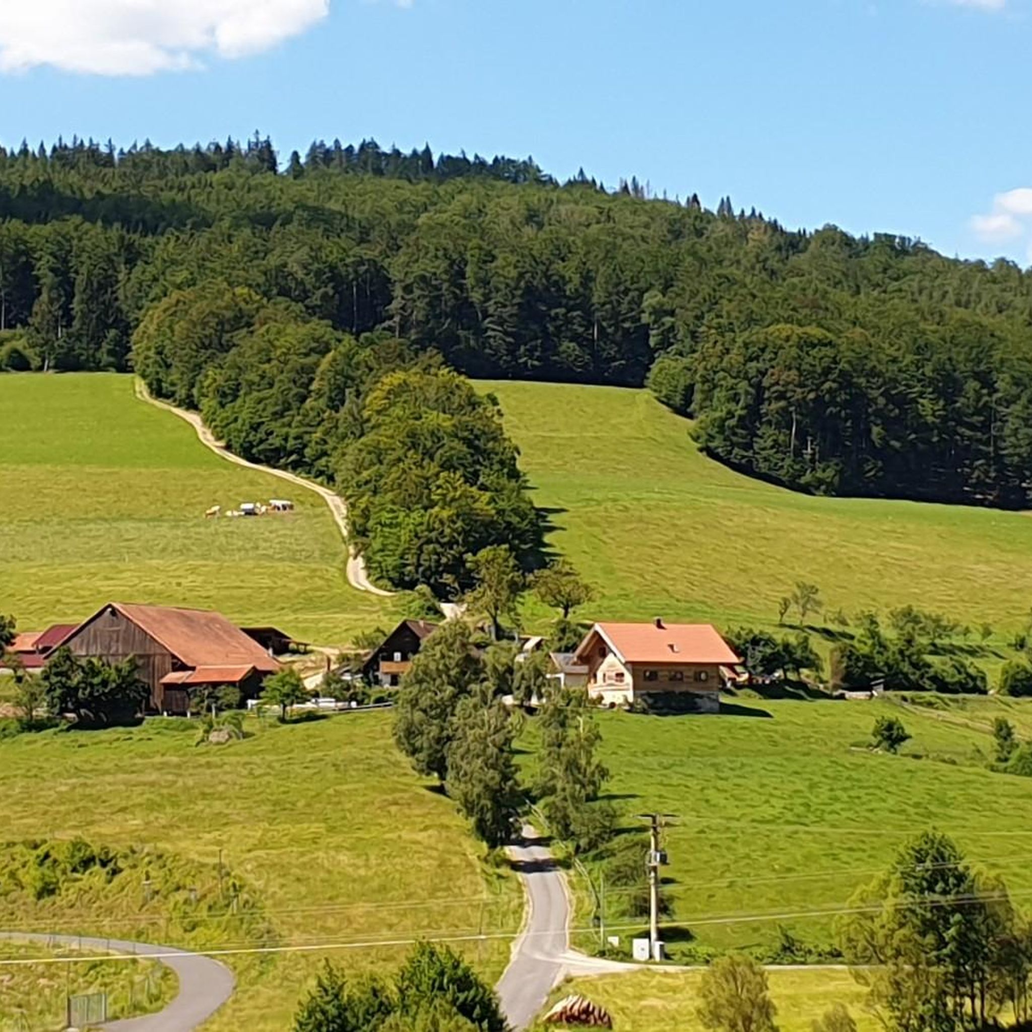
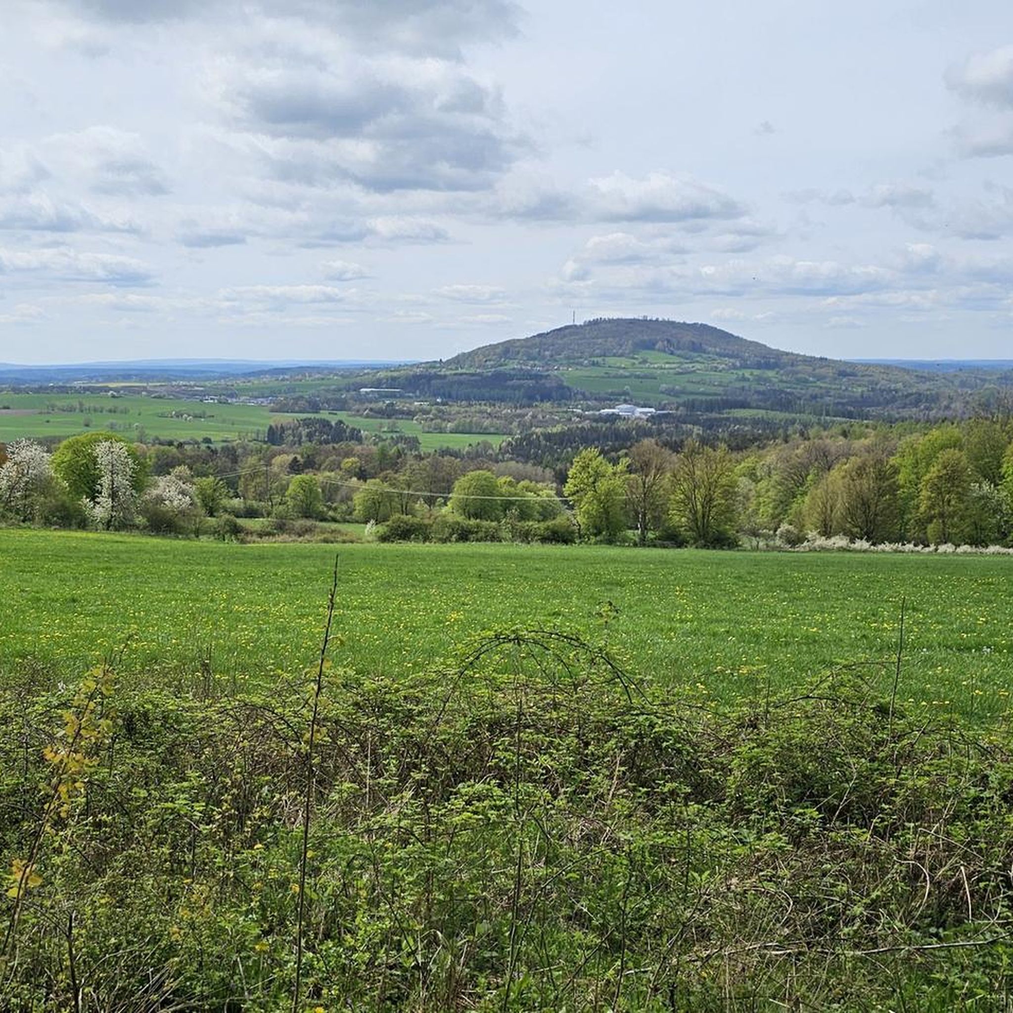
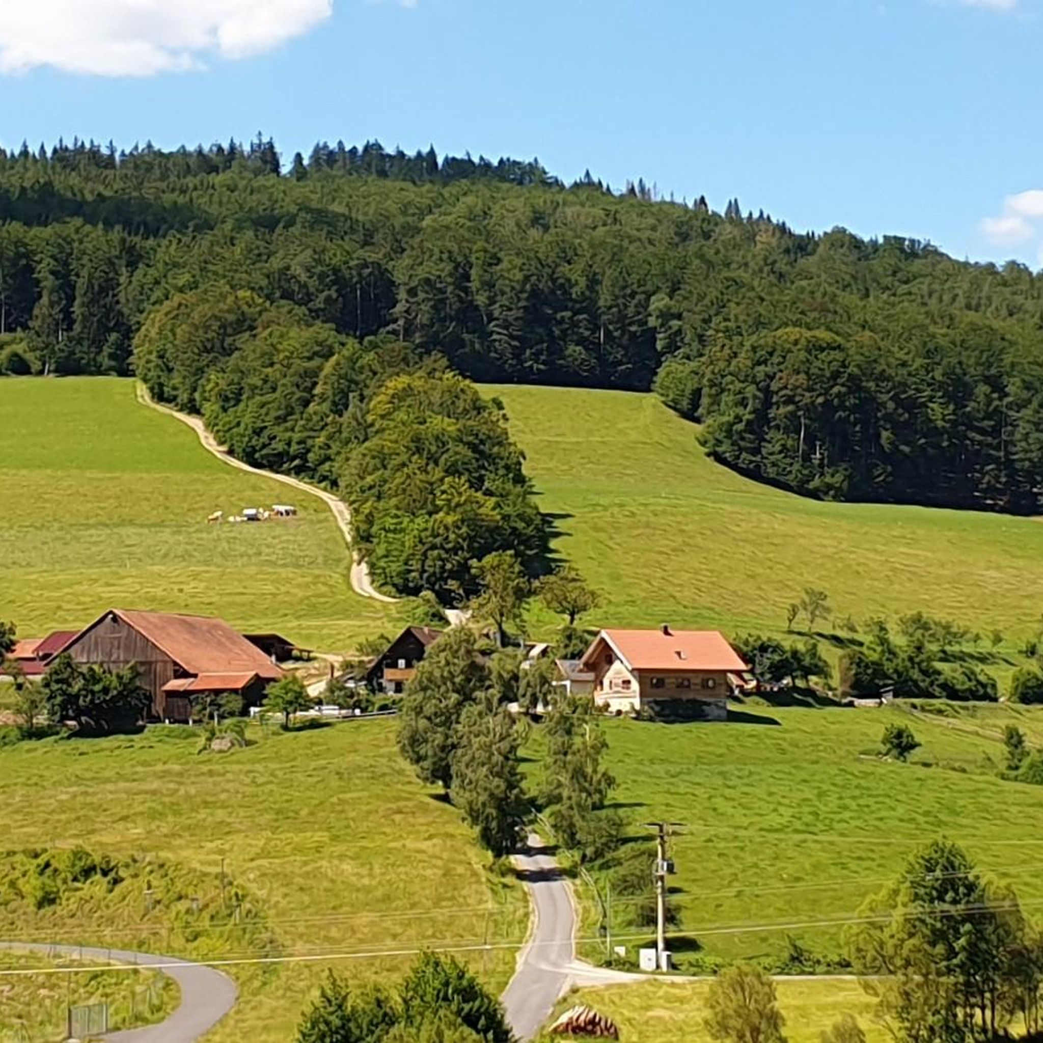
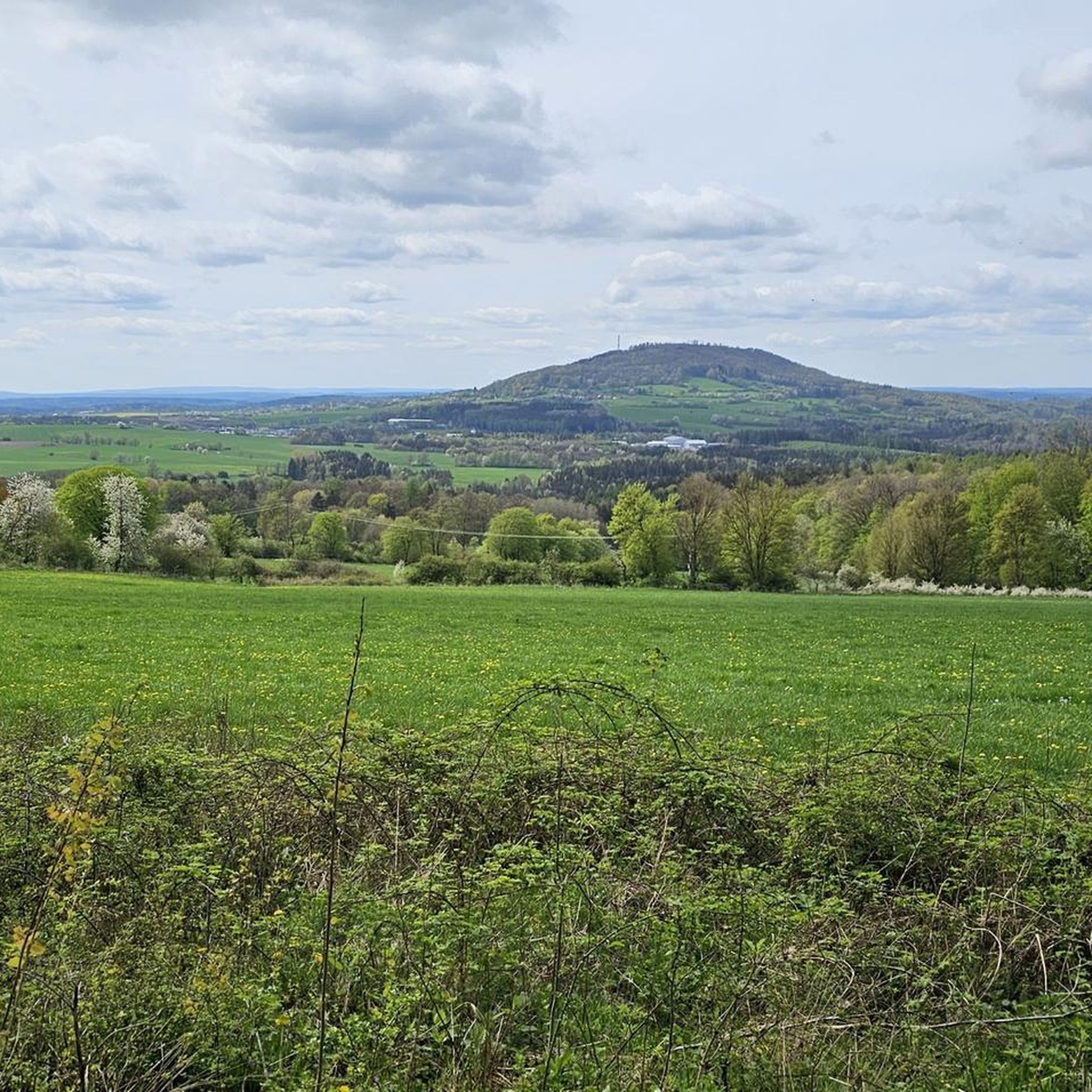

Tips from the Community

Wonderful cycle path with a perfect surface
0
0

The center of Bischofsheim is super nice and definitely worth seeing on a tour.
0
0

Very worthwhile to walk there - beautiful view from the tower.
0
0

Superbly developed route!
0
0

The Sinntor used to stand here, but it was demolished in 1837.
1
0
The Brückenau Ost stop was closed at the end of the 1970s.
1
0
Even more beautiful in the bright sunshine in autumn.
1
0
Rhön sheep are the oldest breed of livestock in Germany. They have adapted excellently to the harsh low mountain climate.
1
0
Frequently Asked Questions
How many touring cycling routes are available in Römershager Forst-Ost?
There are over 270 touring cycling routes available in and around Römershager Forst-Ost. These routes cater to various skill levels, with 25 easy, 122 moderate, and 131 difficult options.
What kind of terrain can I expect when cycling in Römershager Forst-Ost?
Römershager Forst-Ost is characterized by expansive woodlands and varied elevations, as it's part of the Rhön Biosphere Reserve. The highest point, Schafberg, reaches 564 meters above sea level, offering diverse landscapes for cycling. You'll find routes that traverse forests and offer scenic views.
Are there any easy touring cycling routes suitable for beginners or families?
Yes, there are 25 easy routes available. A good option for a relaxed ride is the Bad Brückenau Spa Park – Witch's Cottage Café loop from Bad Brückenau, which is 16.9 km long and takes about 1 hour 7 minutes, leading through forested areas and past local attractions. Another easy choice is the Sinntal Bridge (Sinntalbrücke) – Rhönexpress Cycle Path loop from Römershager Forst-Ost.
What are some challenging routes for experienced touring cyclists?
For experienced cyclists seeking a challenge, there are 131 difficult routes. One notable option is the View of Kreuzberg – View of Sandberg and the Rhön loop from Riedenberg. This route spans 37.3 km with significant elevation changes, offering expansive views of the Rhön landscape.
Are there any routes that follow former rail trails?
Yes, the region features routes that utilize former rail trails, providing consistent and often flatter surfaces. The Rhönexpress Cycle Path – End of Rhönexpress Rail Trail loop from Bad Brückenau is a moderate 26.1 km path that follows such a trail, offering a smooth cycling experience.
What natural features or landmarks can I see along the touring cycling routes?
The region offers several points of interest. You can find various mountain peaks like the Platzer Kuppe summit or the Knörzchen Summit. For scenic views, consider visiting the Mottener Haube Observation Tower or the Kissinger Hut with view of Kreuzberg. The Basaltsee "Tintenfass" (Inkwell Basalt Lake) is also a significant natural feature in the broader area.
Are there any viewpoints along the cycling routes in Römershager Forst-Ost?
Yes, the varied terrain of the Rhön Biosphere Reserve provides several opportunities for scenic viewpoints. The Mottener Haube Observation Tower is a notable highlight offering panoramic views. Additionally, routes like the View of Kreuzberg – View of Sandberg and the Rhön loop from Riedenberg are specifically designed to showcase expansive Rhön vistas.
What do other touring cyclists enjoy most about cycling in Römershager Forst-Ost?
The routes in Römershager Forst-Ost are highly rated by the komoot community, with an average score of 4.6 stars from over 1,000 reviews. Cyclists often praise the expansive woodlands, the varied elevations that offer diverse challenges, and the well-maintained paths, especially those following former rail trails, which provide a consistent surface through the region.
When is the best time of year to go touring cycling in Römershager Forst-Ost?
The forested nature of Römershager Forst-Ost makes it enjoyable across multiple seasons. Spring and autumn offer pleasant temperatures and beautiful foliage. Summer provides longer daylight hours, while winter cycling can be an option for those prepared for colder conditions, though some paths might be less accessible depending on snow and ice.
Are there any circular touring cycling routes in the area?
Many of the touring cycling routes in Römershager Forst-Ost are designed as loops, allowing you to start and end at the same point. Examples include the Rhönexpress Cycle Path – End of Rhönexpress Rail Trail loop from Bad Brückenau and the Rhönexpress Cycle Path – Sinntal Bridge (Sinntalbrücke) loop from Bad Brückenau, providing convenient options for exploring the region.
Are there any historical sites or cultural points of interest along the routes?
While the region is primarily known for its natural beauty, you can find interesting spots. The Legend of the Three Proud Ladies of Dreistelz is a historical site that adds a cultural dimension to your tour. Additionally, the Würzburger Karl-Straub-Haus serves as a mountain hut that can be a destination or a stopover, offering a glimpse into local traditions.
Most popular attractions around Römershager Forst-Ost

Get inspired with the komoot mobile app


Explore more
Browse the best Cycling routes in other regions.
