The best running trails around Algua
4.5
(192)
13,984
runners
384
runs
Jogging around Algua offers diverse terrain within the Province of Bergamo, Lombardy, Italy. The region is situated in Val Serina, a side valley of Val Brembana, and is nestled amidst the Orobie Alps, providing a mix of mountain paths, lush valleys, and historic routes. Joggers can explore varying elevations, from well-maintained ancient trails like the Via Mercatorum to smoother cycle paths along the Brembo River. This area provides a range of running experiences for different fitness levels.
Best jogging routes…
Last updated: August 15, 2026
5.0
(1)
44
runners
Moderate run. Good fitness required. Mostly paved surfaces. Suitable for all skill levels.
45
runners
16.7km
01:51
310m
310m
Hard run. Very good fitness required. Mostly paved surfaces. Suitable for all skill levels.

Sign up for free
111
runners
Moderate run. Good fitness required. Mostly paved surfaces. Suitable for all skill levels.
55
runners
8.80km
00:59
120m
120m
Moderate run. Good fitness required. Mostly paved surfaces. Suitable for all skill levels.
23
runners
13.4km
01:26
190m
180m
Moderate run. Good fitness required. Mostly paved surfaces. Suitable for all skill levels.
Get access to more routes and recommendations from other explorers.
Sign up for free
Already have an account?
Our route recommendations are based on thousands of hikes, rides, and runs completed by other people on komoot.
Start today with a free account
Your next adventure awaits.
Login or Signup
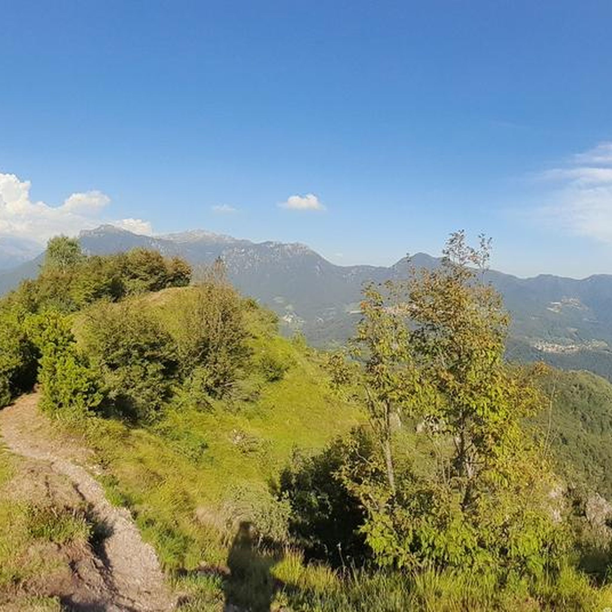
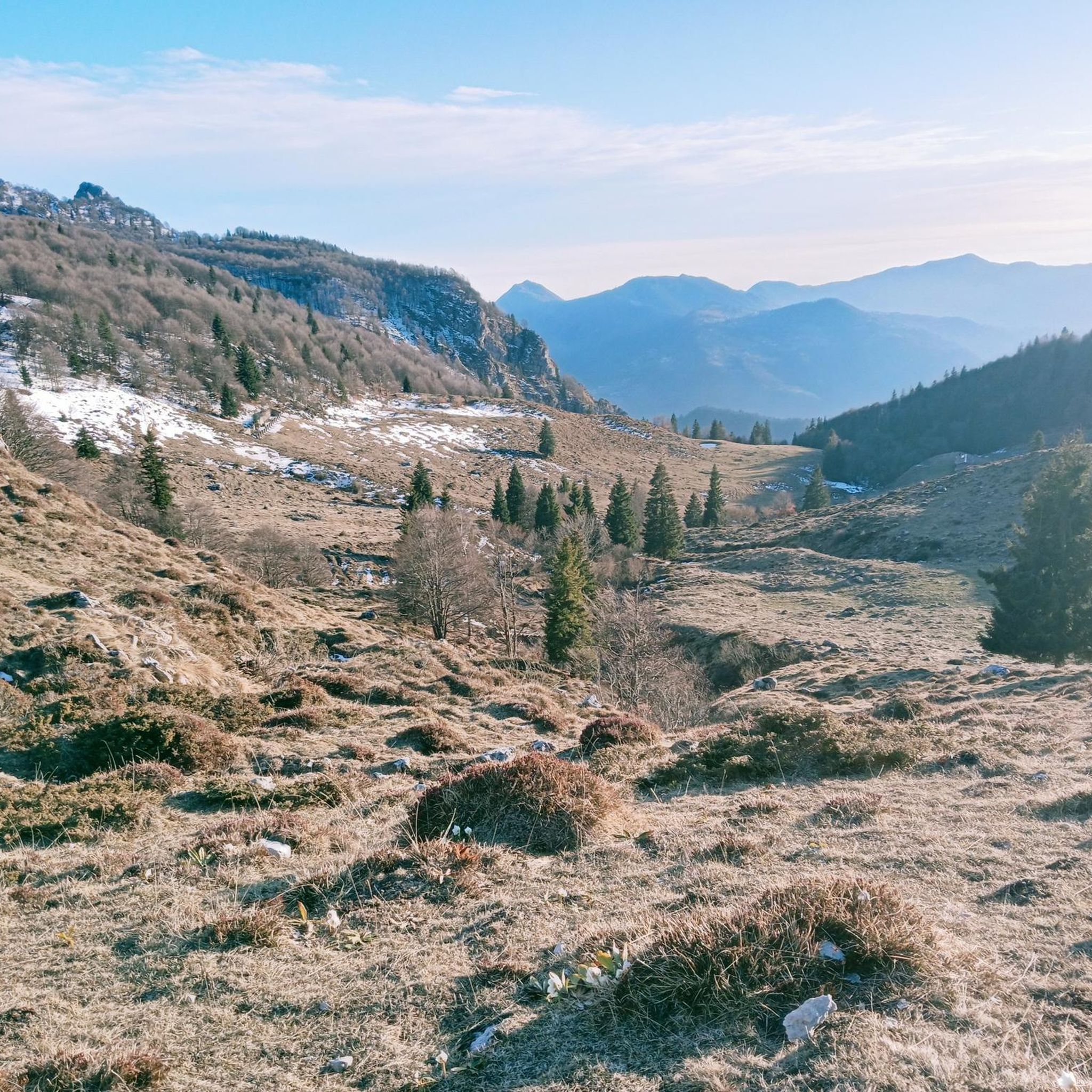

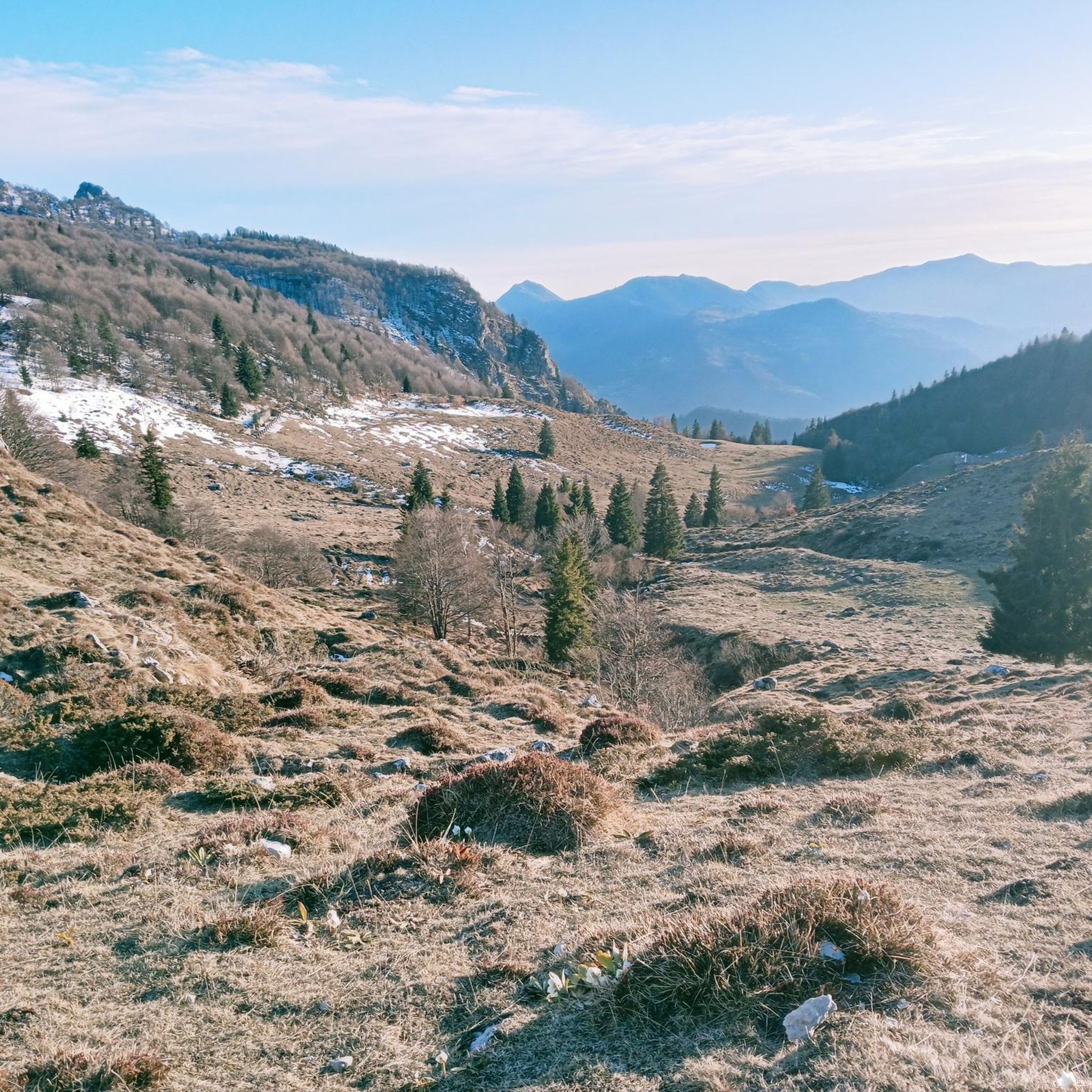
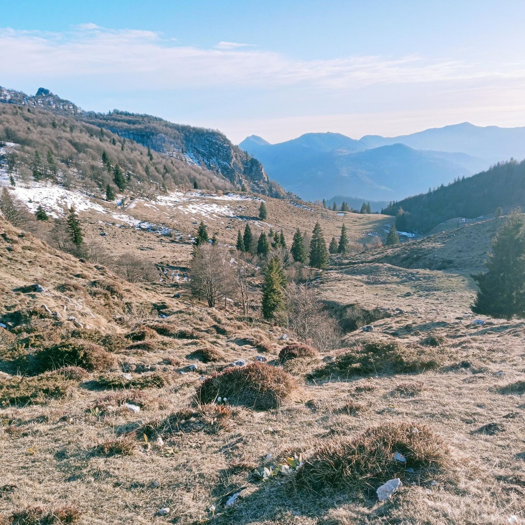

Tips from the Community

The cycle path in the Brembana Valley, the Ciclovia Valle Brembana, largely follows an old railway line that was closed in 1966 because it had become unprofitable due to increasing motorization: https://de.wikipedia.org/wiki/Ferrovia_Valle_Brembana In the 2000s, the former railway line was asphalted and converted into a great cycle path. The many illuminated tunnels make cycling here an experience!
0
0

classic water refill point on arrival or departure in Selvino
1
0

Yes, in Selvino there is a slope with artificial snow, and it is the Monte Purito slope.
11
4

Because it still has naturally beautiful corners
0
0
in the heart of Selvino on the slope with often artificial snow
2
1

view of the Brembo River in San Pellegrino Terme
0
0
This is the Grand Hotel San Pellegrino in San Pellegrino Terme. It's not Lenna.
0
0
from S.Pellegrino to Becco di Dossena
0
0
Frequently Asked Questions
What kind of terrain can I expect on the running routes around Algua?
Jogging around Algua offers a diverse range of terrain. You'll find mountain paths with varying elevations, lush valleys, and historic routes. The region is nestled amidst the Orobie Alps, providing challenging ascents and rewarding panoramic views. You can also find smoother surfaces like sections of the Ciclovia Valle Brembana, which follows a former railway track, ideal for less strenuous runs.
Are there running routes suitable for beginners or those looking for an easy jog?
Yes, Algua offers several easy running paths. For instance, the Highlights of Selvino – Selvino drinking fountain loop from Selvino is a shorter, easier trail, often completed in about 23 minutes. These routes typically feature gentle elevation changes, perfect for a relaxed run.
What are some challenging routes for experienced trail runners in the Algua area?
For experienced trail runners seeking a challenge, Algua's mountainous terrain provides plenty of options. The Baita Sura loop from Cornalba is a difficult 6.4-mile (10.4 km) path with significant elevation gain, leading through stunning mountain landscapes and offering panoramic views. Another demanding option is the Selvino drinking fountain – Forcellino Pass loop from Selvino, which also features considerable ascent.
Are there any circular running routes available near Algua?
Yes, many of the running routes in the Algua area are designed as loops, allowing you to start and finish at the same point. Examples include the Selvino drinking fountain – Highlights of Selvino loop from Aviatico and the Junction of Pian de la Loera – Monte Cereto Summit Cross loop from Selvino, providing convenient options for your run.
What do other runners enjoy most about the trails in Algua?
The running routes around Algua are highly rated by the komoot community, with an average score of 4.6 stars. Runners frequently praise the diverse terrain, from challenging mountain ascents to scenic valley paths, and the breathtaking panoramic views of the Orobie Alps and Val Serina. The well-maintained nature of both ancient and modern trails is also a common highlight.
Can I find any historical landmarks or points of interest along the running routes?
Yes, the region is rich in history. You can explore ancient routes like the "Via Mercatorum," which passes through Frerola, one of Algua's historic subdivisions. While running, you might also encounter picturesque villages or frazioni that offer glimpses into traditional Bergamasque life. For specific historical sites, consider visiting the Dossena Mines or the Paglio Pignolino Mine, which are nearby attractions.
Are there any natural features or viewpoints to look out for while running?
Absolutely! Algua is nestled in the Orobie Alps, offering stunning natural beauty. Many trails provide excellent panoramic views of the plains and surrounding mountains, including peaks like Pizzo Rabbioso. You can also find beautiful natural attractions such as the Val de Gru Waterfall or the Val Vertova Waterfalls, which are accessible from the wider region.
What is the best season for running in Algua?
The Val Serina and Val Brembana regions, where Algua is located, are beautiful throughout much of the year. Spring and autumn offer pleasant temperatures and vibrant scenery, ideal for running. Summer can be warm, especially at lower elevations, but higher mountain trails provide cooler conditions. Winter running is possible, but some higher routes may require appropriate gear due to snow and ice.
Are there options for refreshments or accommodation near the running trails?
While Algua itself is a small municipality, the wider Val Brembana region offers various options. Along many mountain trails, you can find mountain huts like Grassi and Capanna 2000, which serve as rest stops and often provide meals. For more extensive options, nearby towns and villages in Val Serina and Val Brembana offer cafes, pubs, and accommodation, including the renowned thermal baths of San Pellegrino Terme for relaxation after your run.
How many running routes are available in the Algua area?
There are over 300 running routes available around Algua, catering to a wide range of abilities. This includes 11 easy routes, 102 moderate routes, and 190 difficult routes, ensuring there's a path for every runner.
Is it possible to reach the running trails using public transport?
Algua is situated in a mountainous region, and while public transport options exist within the broader Province of Bergamo, direct access to all trailheads by public transport might be limited. It's advisable to check local bus schedules for connections to the main villages in Val Serina and Val Brembana, and then plan your route accordingly, potentially combining with a short walk or taxi to reach specific starting points.
Are there any specific permits required for running on trails in Algua?
Generally, no specific permits are required for recreational running on the established trails around Algua. The trails are part of the public network in the Val Serina and Val Brembana areas. However, always respect local regulations, private property, and any signage you encounter, especially within protected natural areas if applicable.
Most popular attractions around Algua

Get inspired with the komoot mobile app


Explore more
Browse the best Running Trails & Routes in other regions.
