The best walks and hikes around Sedrina
4.4
(365)
2,916
hikers
23
hikes
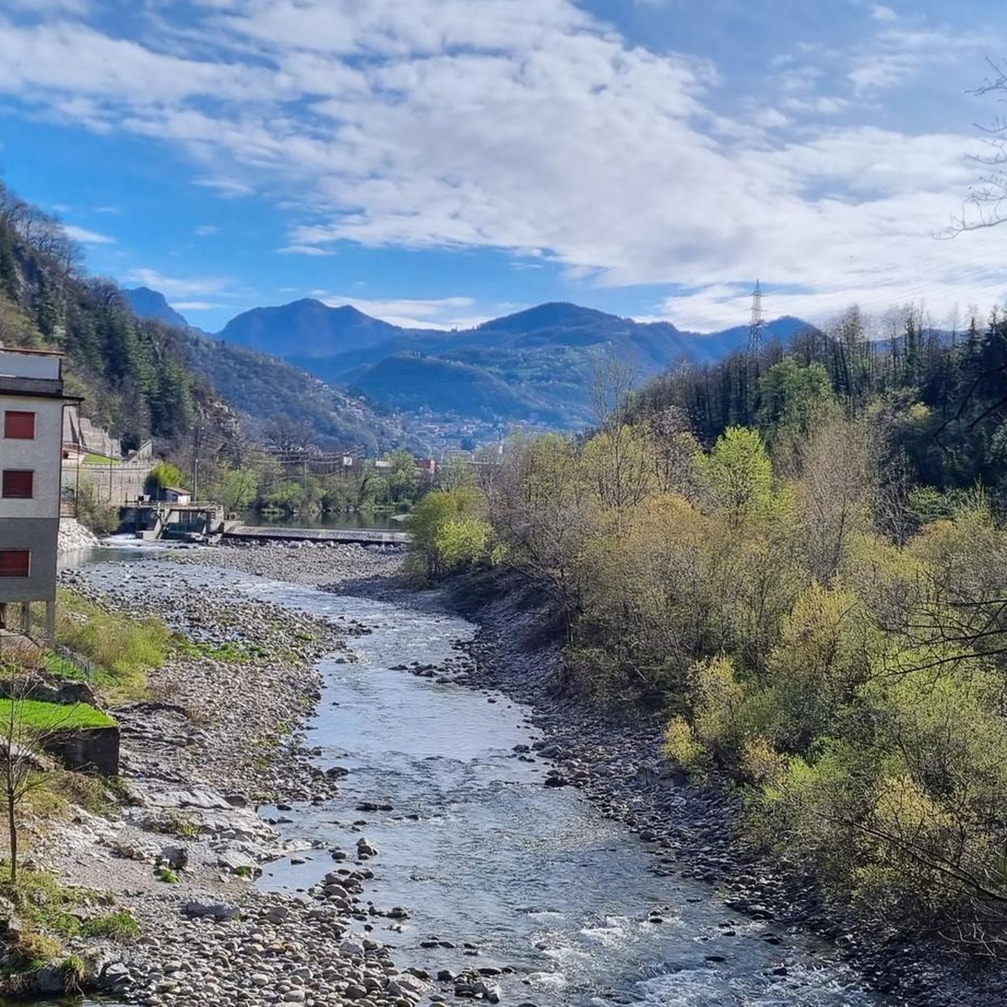
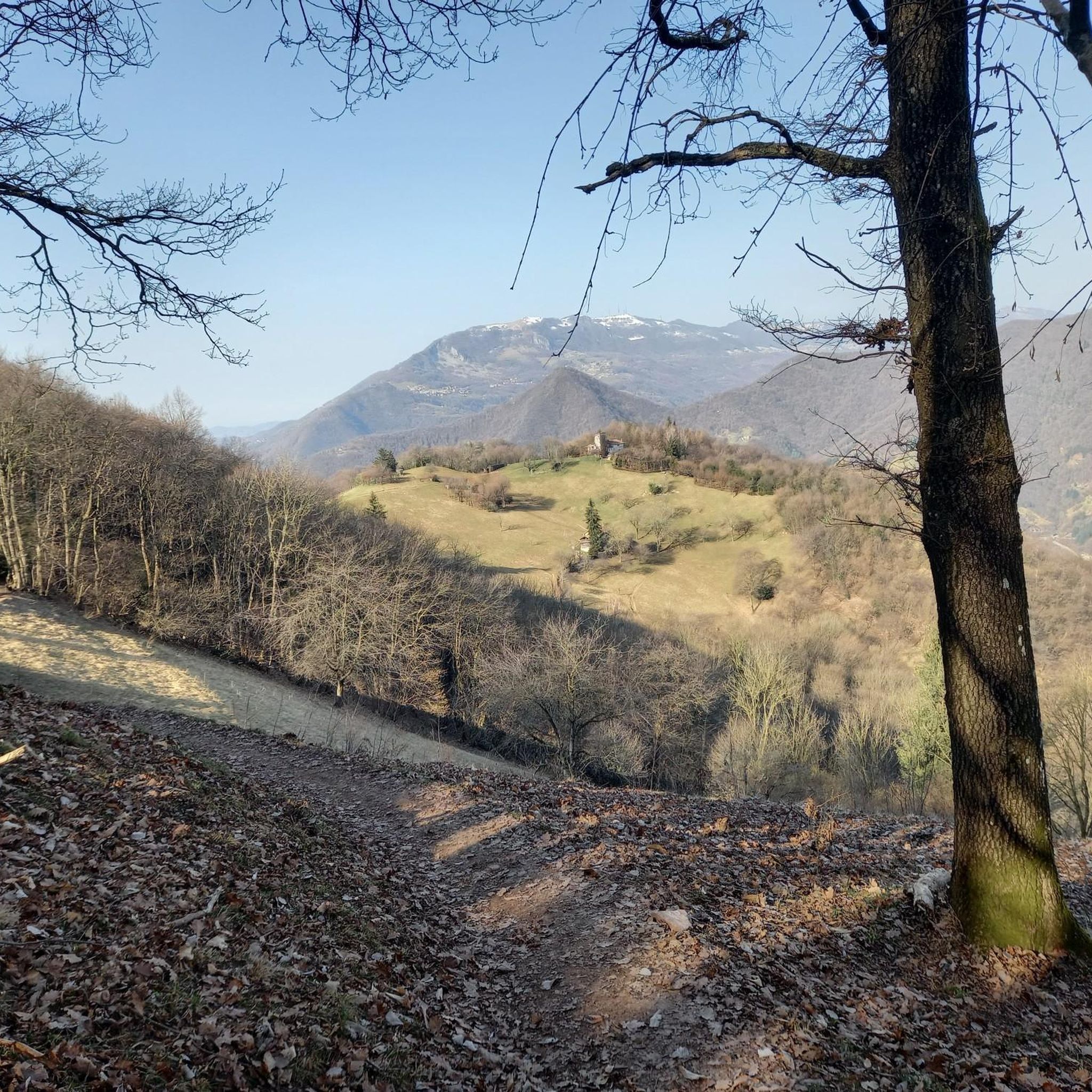
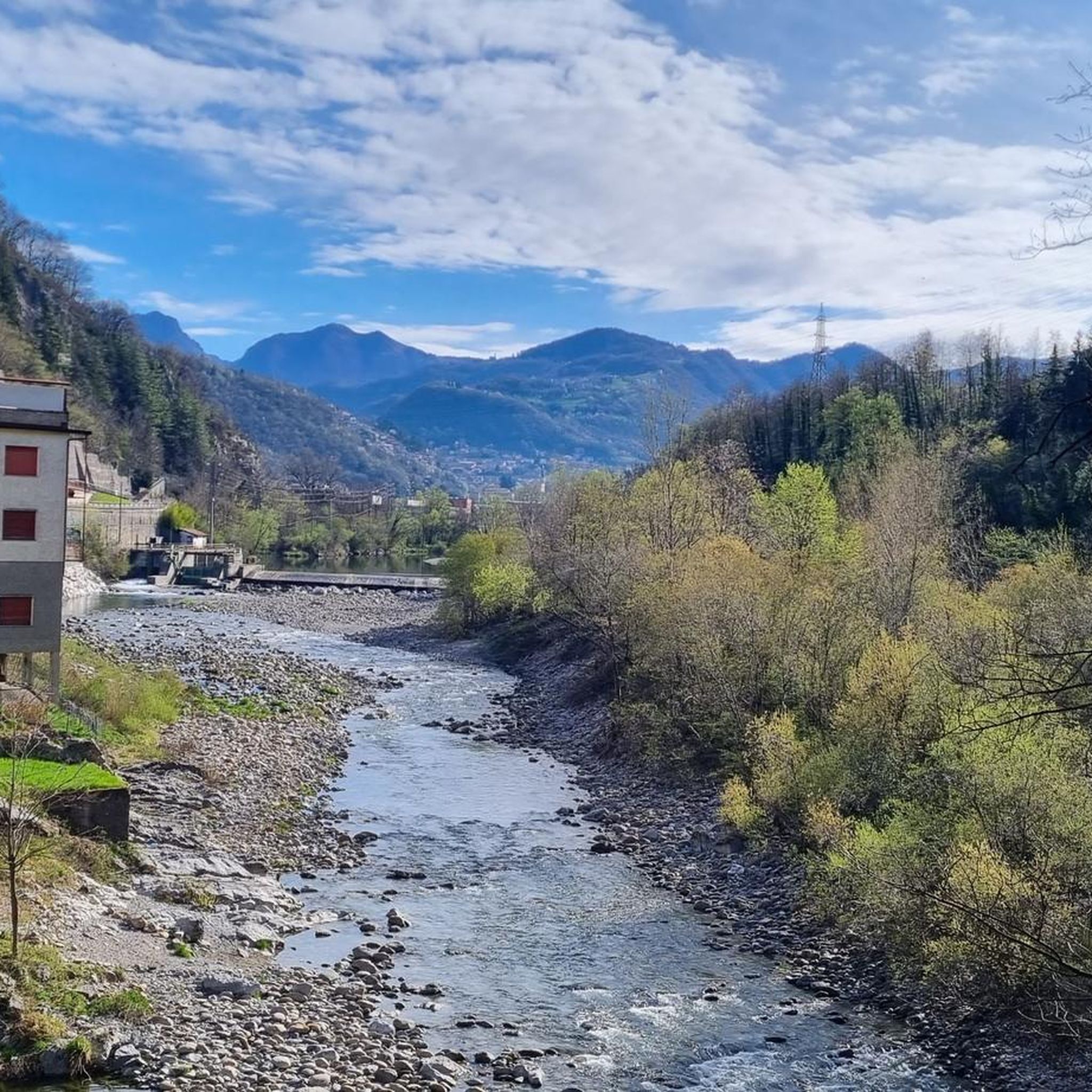
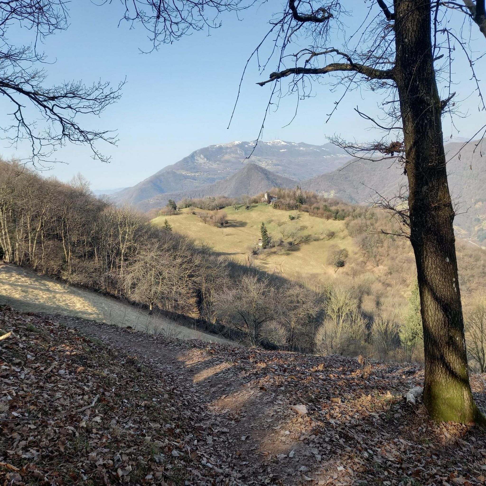
Hiking around Sedrina offers a diverse landscape characterized by hills, meadows, and significant elevation changes, particularly around the Canto Alto massif. The region features trails that ascend to summits, providing views of the surrounding valleys and natural areas. Hikers can expect a mix of forested paths and open terrain, with routes often leading through or near agricultural lands like the Prati Parini. This varied topography supports a range of hiking experiences, from moderate loops to more challenging summit ascents.
Best…
Last updated: July 7, 2026
4.4
(11)
34
hikers
12.4km
04:37
710m
710m
Moderate hike. Good fitness required. Mostly accessible paths. Sure-footedness required.
2
hikers
15.5km
06:33
1,000m
1,000m
Hard hike. Very good fitness required. Sure-footedness, sturdy shoes and alpine experience required.

Sign up for free
4.7
(3)
100
hikers
2.70km
01:32
270m
270m
Moderate hike. Great for any fitness level. Mostly accessible paths. Sure-footedness required.
4.7
(17)
78
hikers
7.73km
03:00
470m
470m
Moderate hike. Good fitness required. Mostly accessible paths. Sure-footedness required.
4.4
(65)
258
hikers
13.0km
04:30
600m
600m
Moderate hike. Good fitness required. Mostly accessible paths. Sure-footedness required.
Get access to more routes and recommendations from other explorers.
Sign up for free
Already have an account?
Our route recommendations are based on thousands of hikes, rides, and runs completed by other people on komoot.
Start today with a free account
Your next adventure awaits.
Login or Signup


Tips from the Community

nice cave, about ten meters long, beautiful concretions.
0
0

Beautiful, very welcoming refuge. Thanks to the volunteers who keep it open.
0
0

The Canto Alto Refuge is located just below the summit of Monte Canto Alto (1,146 m), a mountain in the Bergamo Prealps that separates the Brembana Valley from the Seriana Valley, north of Bergamo. Refuge characteristics: Altitude: 1,033 m Management: Associazione Alpini di Sorisole Services: Safe shelter, warm welcome and traditional cuisine with polenta, local cured meats and cheeses Location: Panoramic terrace overlooking the city of Bergamo and the Parco dei Colli How to get there: The refuge is accessible from several paths: From Sorisole: Circular route that passes by the summit and then descends to the refuge From Monte di Nese: Path that crosses woods and meadows, with a moderate climb From Maresana: Longer but panoramic itinerary, with views of the surrounding mountains The metal cross on the summit of Canto Alto, 32 meters high, is a landmark visible from Bergamo. If you are looking for a hike immersed in nature with a welcoming refuge, this is a perfect destination! 🏔️🔥🍽️
0
0
Semi-hidden cave with no signs.
0
0
https://sites.google.com/view/rifugioalpinicantoalto On May 25, 2018, the Sorisole Alpine Group called together the various associations in the area, including the other Alpine groups of Petosino and Azzonica, to find a solution to the management of the Canto Alto Refuge, which until then had been managed by their “veci alpini”. A “PROMOTING COMMITTEE” was formed which, together with the Sorisole Alpine Group, presented the idea of the association to the public on September 14, 2018. More than 100 people from Sorisole and neighboring towns were present at the meeting. The first memberships were collected and on October 12, 2018, the “Amici del Canto Alto” association was officially born, whose bond with the Alpini is indissoluble. Article 1 of the Association's statute in fact states: "... the association called "Amici del Canto Alto", territorial structure of the A.N.A. Alpine Group of Sorisole, Bergamo Section, of which it is a full member... The association is dependent and subordinate to the Alpine Group of Sorisole, A.N.A. Bergamo section..." On December 8, 2018, the Refuge reopens with the new management by the Association Amici del Canto Alto
0
0

The Rifugio Alpini Canto Alto, located at 1,033 meters above sea level, is managed by volunteers from the CAI of Bergamo, who offer a welcoming stop with refreshment service. Reachable via hiking trails, it is open on Sundays during the summer season. For updated information you can consult the Rifugio's Facebook page: https://www.facebook.com/rifugioalpinicantoalto/
1
0

If you are with children, choose the Nido dei Falchi path which starts 200 meters before the Fi Cler square
0
0

Path that leads to the top of Canto Alto with a cross without any particular problems, suitable for anyone, the view from up here repays the effort made
1
0
Frequently Asked Questions
What kind of terrain can I expect when hiking around Sedrina?
Hiking around Sedrina offers a diverse landscape characterized by hills, open meadows, and varied forest paths. You'll encounter significant elevation changes, especially around the Canto Alto massif, providing a mix of challenging ascents and scenic routes through agricultural lands like the Prati Parini.
Are there any easy hiking trails suitable for beginners in Sedrina?
Yes, Sedrina offers a few easier options. While many routes involve significant elevation, there are at least 2 easy trails available. For a moderate but relatively shorter option, consider the Prati Parini Farmhouse loop from Sedrina, which is 1.7 miles (2.7 km) and takes about 1 hour 31 minutes.
Are there any challenging hikes for experienced trekkers?
Absolutely. Sedrina is known for its more demanding routes, with 7 difficult trails available. The Canto Alto Summit Trail via CAI 507 is a difficult 9.6 miles (15.5 km) path that leads to the Canto Alto summit, offering panoramic views and substantial elevation gain. Another challenging option is the Parini Meadows – Canto Alto Summit loop from Ubiale Clanezzo.
What are some notable natural features or landmarks I can see while hiking?
The region around Sedrina features several interesting natural and man-made landmarks. You can find beautiful viewpoints like the View of Grigna Settentrionale and Laghetto del Pertus from Colle del Sogno. The Canto Alto Summit itself is a major highlight, as are other peaks such as Monte Linzone Summit and Mount Podona. There are also unique natural monuments like The Three Beeches of Fuipiano Imagna.
Are there any circular hiking routes in Sedrina?
Yes, there are several circular routes available. A popular option is the Canto Alto Summit – Parini Meadows loop from Sedrina, which is a moderate 9.3 miles (15 km) trail. Another is the shorter Prati Parini Farmhouse loop from Sedrina.
What do other hikers enjoy most about hiking in Sedrina?
The area is highly rated by the komoot community, with an average score of 4.4 stars from over 370 reviews. Hikers often praise the diverse terrain, from hill ascents to open meadows and varied forest paths, as well as the rewarding views from summits like Canto Alto. Over 3000 hikers have used komoot to explore Sedrina's varied landscape.
Are there any lakes or water features near the hiking trails?
Yes, the region around Sedrina includes some beautiful water features. You can find highlights such as Pozza del Colle, which is a lake, and other natural water elements like the Fountain of Martin Luther King Park.
How many hiking trails are available in Sedrina?
There are over 20 hiking trails available around Sedrina, offering a wide range of options for different skill levels, from moderate loops to more challenging summit ascents.
Can I find trails with significant elevation gain for a good workout?
Definitely. Sedrina's topography is characterized by significant elevation changes, especially around the Canto Alto massif. Trails like the Canto Alto Ascent Trail feature a substantial climb of over 700 meters, and the Canto Alto Summit Trail via CAI 507 involves over 1000 meters of ascent.
Are there any trails that pass through agricultural areas or meadows?
Yes, some routes in Sedrina lead through or near agricultural lands. The Prati Parini Farmhouse loop from Sedrina is a prime example, taking you through meadows and past a farmhouse, offering a different scenic experience.
What is the best time of year to hike in Sedrina?
Given the diverse landscape with hills, meadows, and forests, hiking in Sedrina is enjoyable across multiple seasons. Spring and autumn offer pleasant temperatures and vibrant scenery, while summer provides lush green paths. Winter hikes are also possible, though some higher elevation trails might require appropriate gear.
Most popular routes around Sedrina
Most popular attractions around Sedrina

Get inspired with the komoot mobile app


Explore more
Browse the best Hikes in other regions.
