The best mountain hikes around Altissimo
4.9
(14)
154
hikers
4
hikes
Mountaineering routes around Altissimo are characterized by rugged mountainous terrain, offering challenging ascents and descents. The region features a landscape of rocky peaks, high-altitude meadows, and forested valleys, providing diverse environments for mountaineering. These routes often involve significant elevation changes, traversing varied surfaces from technical rock sections to exposed ridges. The area is well-suited for experienced mountaineers seeking demanding trails.
Best mountaineering routes around Altissimo
- The most popular mountaineering route is Rifugio Cesare Battisti – Monte Zevola loop from Riserva…
Last updated: July 4, 2026
4.5
(4)
52
hikers
Hard mountaineering route. Good fitness required. Sure-footedness, sturdy shoes and alpine experience required.
4.8
(4)
22
hikers
5.84km
03:10
530m
530m
Hard mountaineering route. Good fitness required. Sure-footedness, sturdy shoes and alpine experience required.

Sign up for free
5.0
(1)
15
hikers
14.1km
06:47
1,100m
1,100m
Hard mountaineering route. Very good fitness required. Sure-footedness, sturdy shoes and alpine experience required.
13
hikers
6.22km
03:04
460m
460m
Hard mountaineering route. Good fitness required. Sure-footedness, sturdy shoes and alpine experience required.
14
hikers
11.8km
03:38
420m
410m
Moderate mountaineering route. Good fitness required. Mostly accessible paths. Sure-footedness required.
Our route recommendations are based on thousands of hikes, rides, and runs completed by other people on komoot.
Start today with a free account
Your next adventure awaits.
Login or Signup
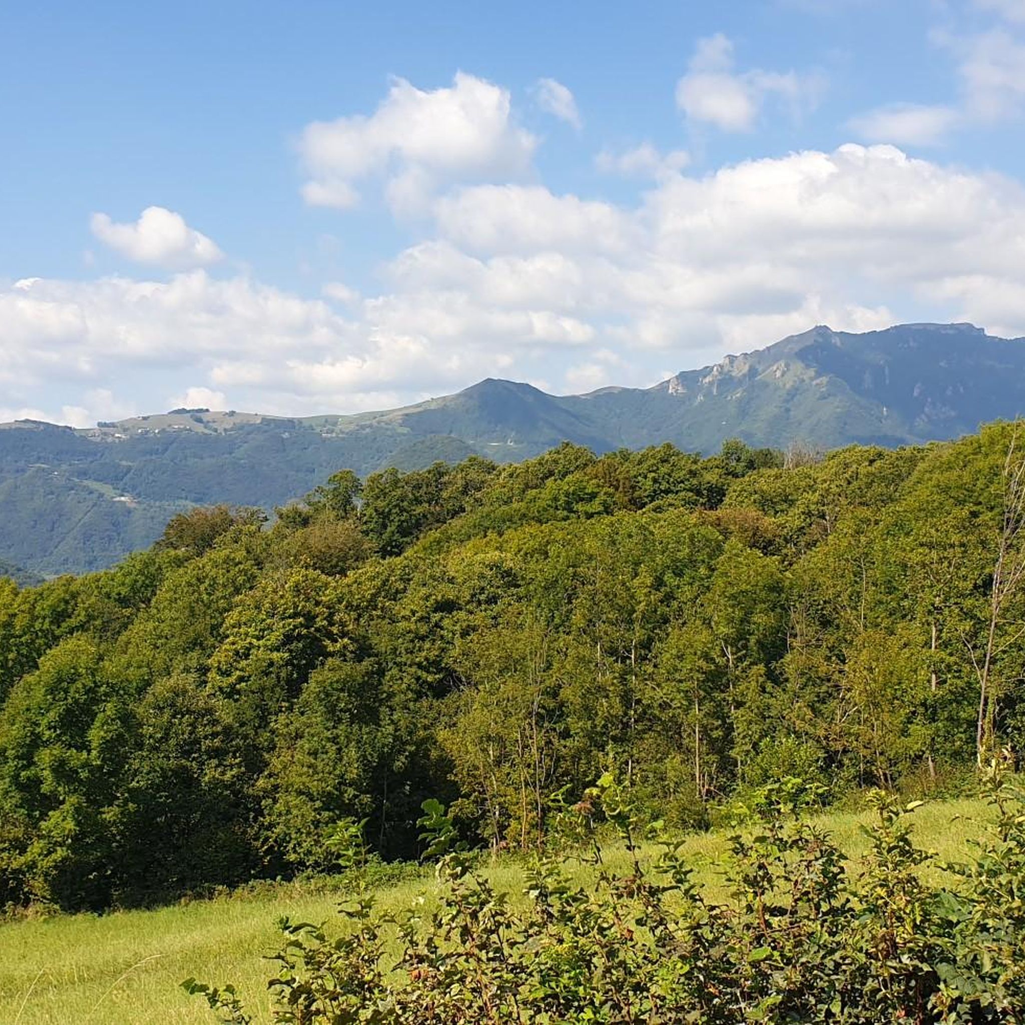
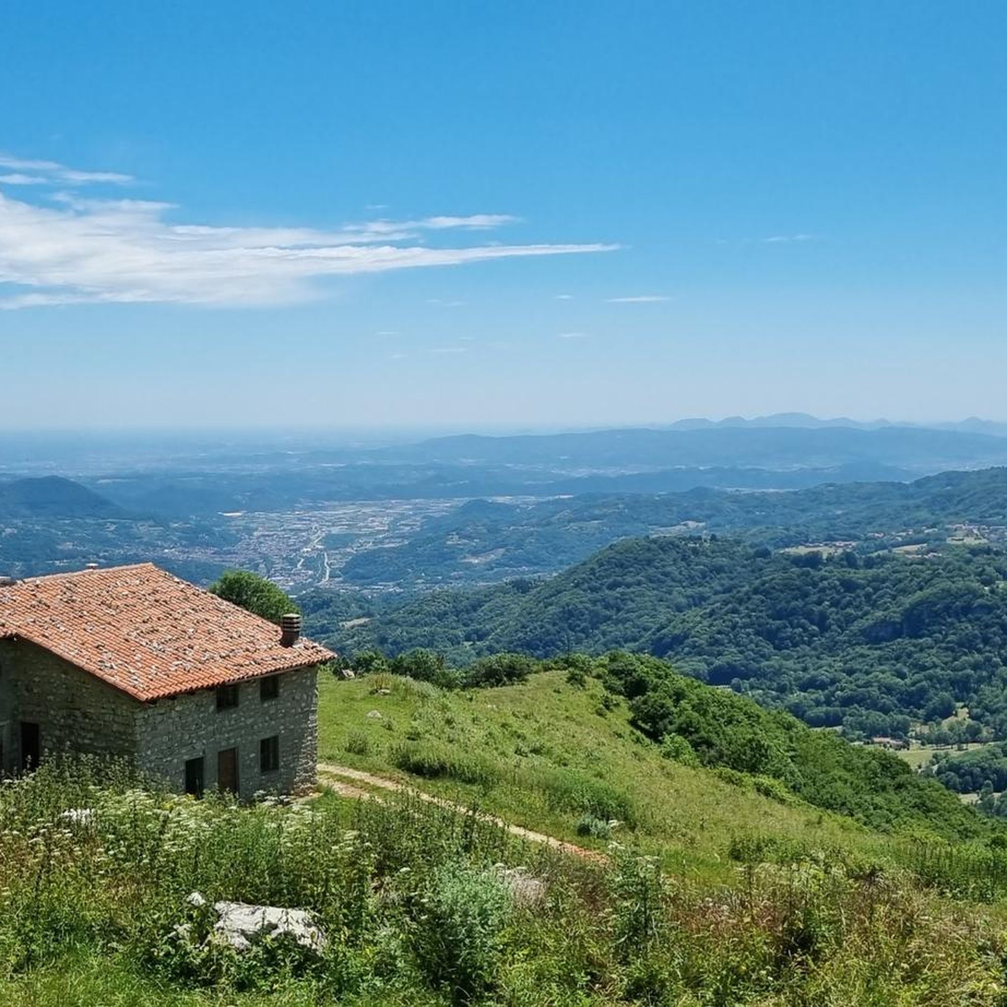
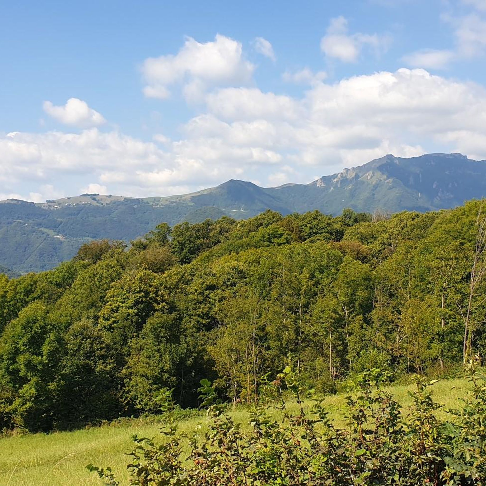
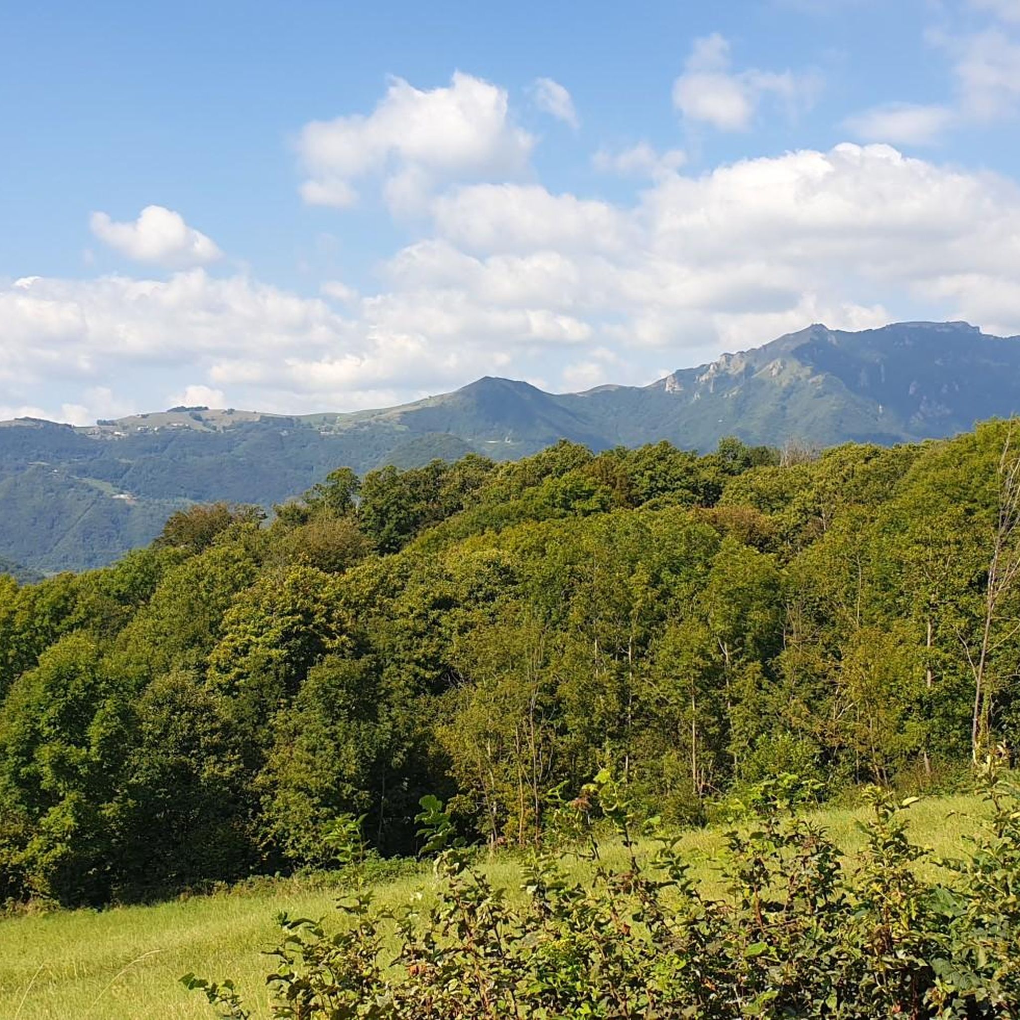
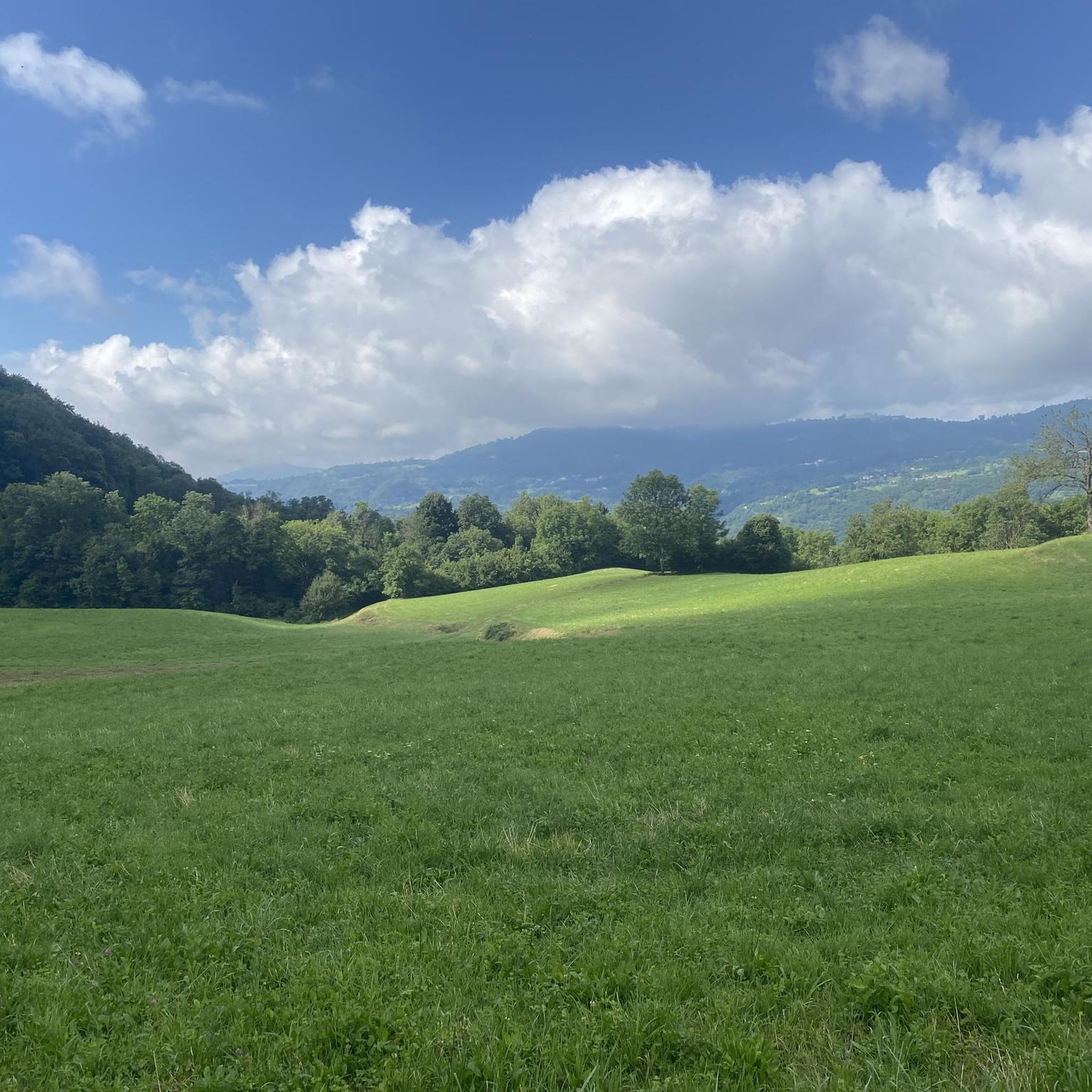
Tips from the Community

be careful, there is a ban on bicycles
0
0

Beautiful stretch of trail 221, exposed and appropriately equipped with a metal rope on the wall.
0
0

Mount Zèvola (1,976 m) is the highest peak in the Tre Cime mountain chain, one of the mountain groups of the Little Dolomites (the Tre Croci chain, the Carega Group, the Sengio Alto chain, and the Pasubio Massif). The summit is actually divided in two by the deep Vajo dell'Acqua: Zevola Alta (1,976 m) and Zevola Bassa or Antecima (1,961 m), with the cross. From up here, you can enjoy a stunning 360° panorama: on one side, there's an excellent view of Carega and Pasubio, and on the other, the entire Lessinia plateau. The climb from Passo Zevola is short but steep.
0
0
From Monte Gramolòn (1,814 m), you have a breathtaking 360° view of the Piccole Dolomiti, the Sentiero dei Grandi Alberi trail below, and, on the opposite side, the Lessinia mountains! The climb from Passo Ristele (to the north) is short but steep, and breathtaking! From Passo della Scagina (to the south), it's even steeper and more technical, EE, with frequent switchbacks that ascend a deep gully: very evocative. On this side, there are also the Angelo Viali and Ferrari via ferratas. The summit, with its cross, touches a spectacular but exposed ridgeline over the precipice, so be careful and avoid leaning out. The toponym derives from the dialect verb 'sgramolare', meaning to break into lumps: therefore, 'Gramolon' means the mountain that crumbles, due to subsidence and scree!
0
0

Rifugio Battisti is a starting point for beautiful walks and a stopover for bike rides with spectacular landscapes.
0
0

Open all year round on weekends and every day in summer
0
0


Beautiful refuge reachable both by asphalt and off-road, in the middle of the pre-Alps. Highly recommended!
0
0
Frequently Asked Questions
What kind of terrain can I expect on mountaineering routes around Altissimo?
Mountaineering routes around Altissimo are characterized by rugged mountainous terrain, offering challenging ascents and descents. The landscape features rocky peaks, high-altitude meadows, and forested valleys. You will encounter varied surfaces, from technical rock sections to exposed ridges, often involving significant elevation changes.
Are there any circular mountaineering routes in the Altissimo area?
Yes, several routes are circular. For example, the Rifugio Cesare Battisti – Monte Zevola loop from Riserva naturale guidata di Campobrun is a popular option. Another is the Rifugio Cesare Battisti – Monte Obante loop from Rifugio Cesare Battisti, which leads through high mountain passes and rocky slopes.
What is the difficulty level of mountaineering routes around Altissimo?
All mountaineering routes listed for Altissimo are rated as difficult. They are well-suited for experienced mountaineers seeking demanding and technical trails, often involving significant elevation gain and varied terrain.
What are some notable landmarks or points of interest along the routes?
You can find several mountain huts that serve as excellent resting points or bases. These include the Cesare Battisti Hut at Tre Croci, Pompeo Scalorbi Hut, and Rifugio Lausen. Additionally, the Camonda Pass offers scenic views.
Are there any unique natural features to explore near Altissimo?
The region boasts interesting natural features. You can visit the Papalini Waterfall, explore the Buso della Rana Cave or the Buso delle Anguane Cave. There's also the Trail of the Great Trees for a different natural experience.
What do other mountaineers say about the routes in Altissimo?
The routes in Altissimo are highly rated by the komoot community, with an average score of 4.8 stars from over 20 reviews. Mountaineers often praise the challenging ascents, rocky ridges, and high-altitude loops that define the experience.
Are there any routes that include via ferrata sections?
Yes, the Via Ferrata Angelo Viali – Gramolon Peak loop from Località La Piatta is a notable route that includes a via ferrata section, providing a technical mountaineering experience with dramatic rock formations.
What is the longest mountaineering route available in this guide?
The longest route featured is the Rifugio Cesare Battisti – Carega Peak loop from Rifugio Cesare Battisti, covering a distance of 16.05 km (approximately 10 miles) with significant elevation gain.
What is the typical elevation gain on these mountaineering routes?
The routes around Altissimo often involve substantial elevation changes. For example, the Rifugio Cesare Battisti – Carega Peak loop has an elevation gain of over 1200 meters (nearly 4000 feet), while others like the Rifugio Cesare Battisti – Monte Zevola loop involve around 700 meters (2300 feet) of ascent.
How many mountaineering routes are covered in this guide for Altissimo?
This guide covers 6 distinct mountaineering routes around Altissimo, all of which are rated as difficult.
Are there any less crowded mountaineering routes in the Altissimo area?
While specific crowd levels can vary, exploring routes like the Rifugio Cesare Battisti – Monte Zevola loop from Vasca Obante, which is a longer option, might offer a more secluded experience compared to the most popular starting points.
Most popular routes around Altissimo
Most popular attractions around Altissimo

Get inspired with the komoot mobile app


Explore more
Browse the best Mountain Hikes & Routes in other regions.
