The best road cycling routes around Brembate
4.2
(664)
13,567
riders
184
rides
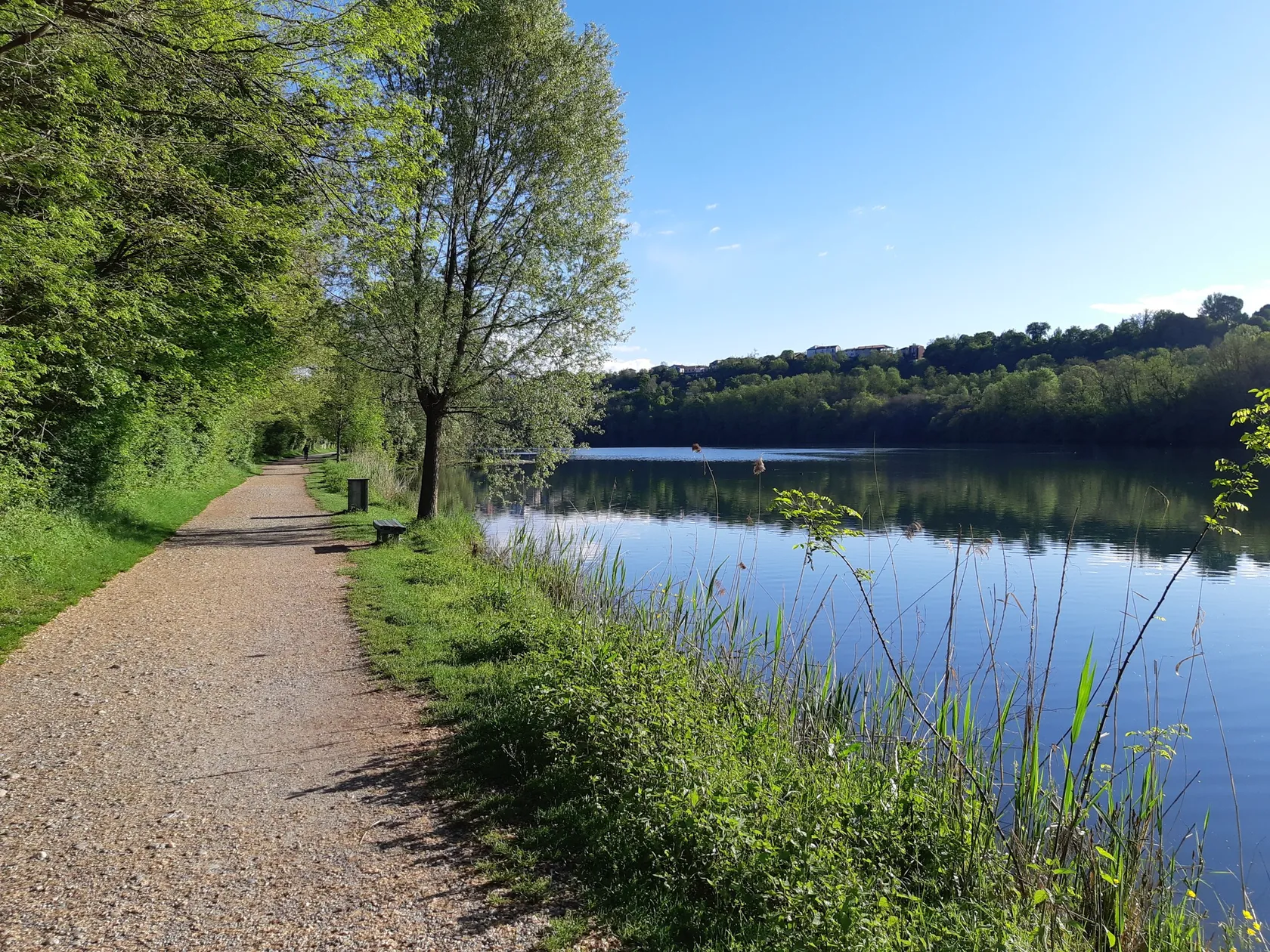
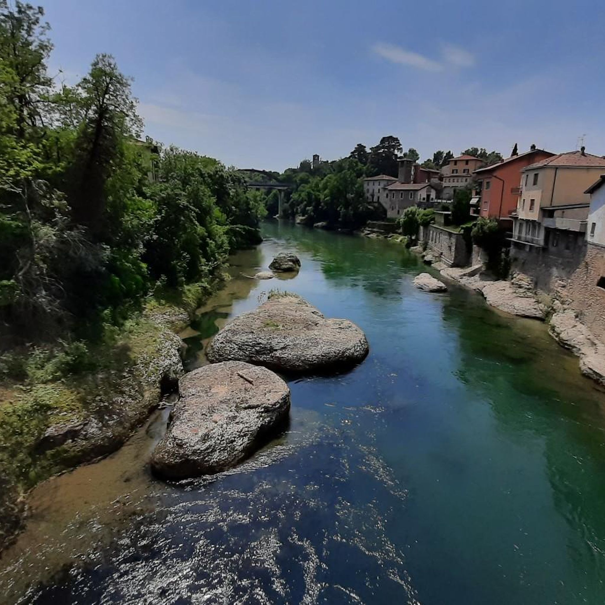
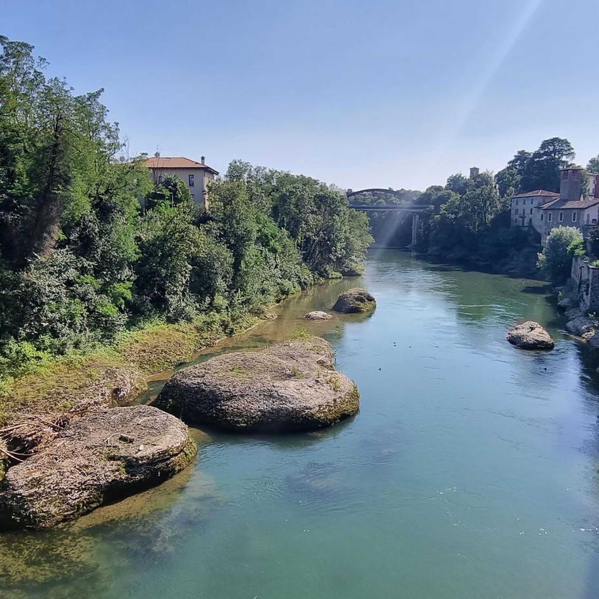
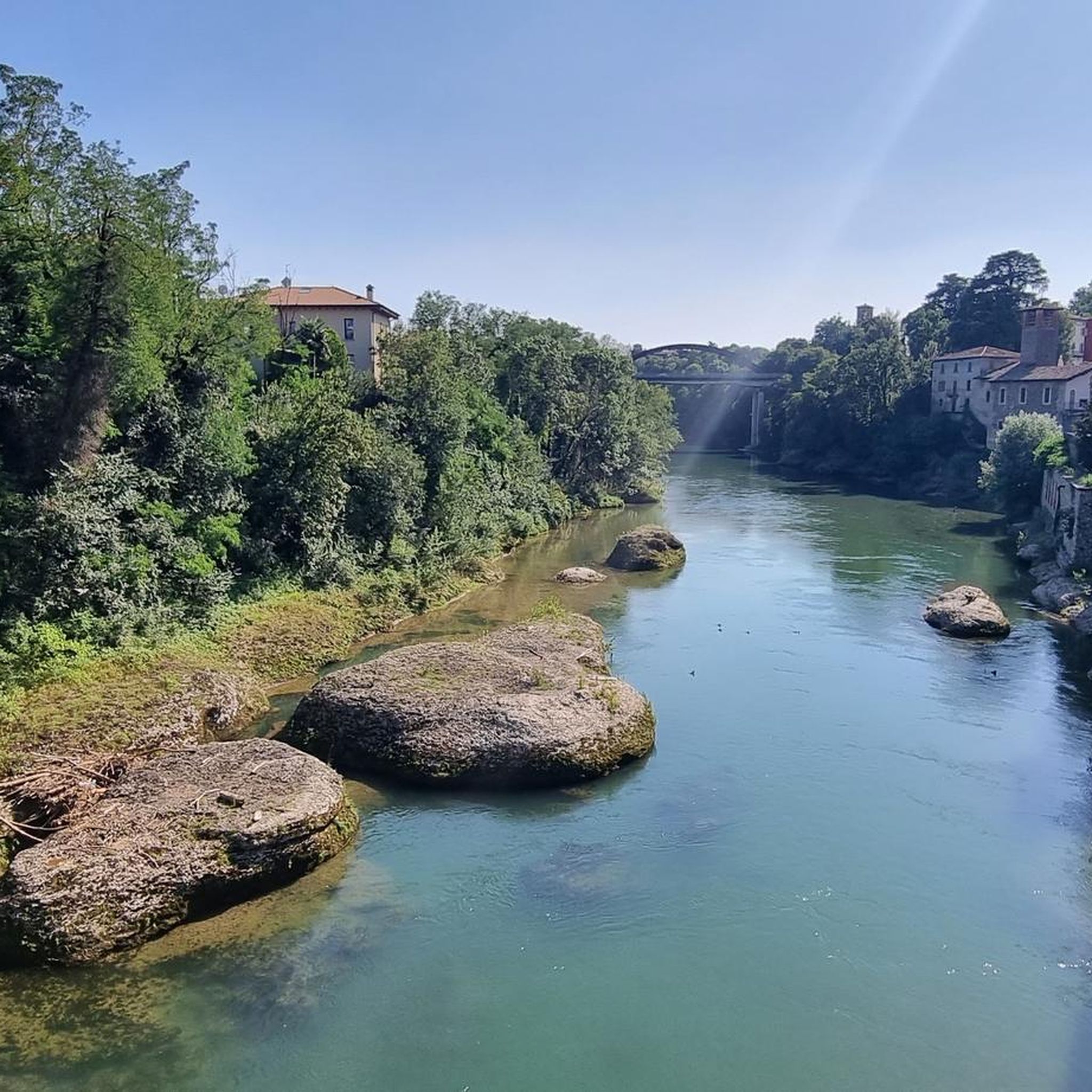
Road cycling routes around Brembate primarily follow the Adda River and its associated canals, offering a landscape characterized by flat to gently rolling terrain. The region features a network of paths alongside waterways and through agricultural areas, connecting various villages and parishes. Elevation gains are generally modest, making the area suitable for extended rides without significant climbs.
Best road cycling routes around Brembate
- The most popular road cycling route is Adda and Paderno Canal Trail, a 21.9 miles (35.4…
Last updated: October 12, 2026
3.0
(1)
35
riders
35.4km
01:34
270m
270m
Moderate road ride. Great for any fitness level. Some segments of this route may be unpaved and difficult to ride.
4.0
(4)
261
riders
Moderate road ride. Good fitness required. Mostly well-paved surfaces and easy to ride.

4.0
(3)
101
riders
Moderate road ride. Good fitness required. Mostly well-paved surfaces and easy to ride.
3.2
(5)
90
riders
Easy road ride. Great for any fitness level. Mostly well-paved surfaces and easy to ride.
85
riders
Moderate road ride. Good fitness required. Mostly well-paved surfaces and easy to ride.
Get access to more routes and recommendations from other explorers.
Already have an account?
Our route recommendations are based on thousands of hikes, rides, and runs completed by other people on komoot.
Start today with a free account
Your next adventure awaits.

Other adventures around Brembate

Tips from the Community

La Cappella dei Morti della Peste, commonly known locally as Il Tombone, is a small 17th-century religious building located in Imbersago (in the province of Lecco), along via Lamperti. It is a place steeped in history and memory linked to the devastating Manzonian plague epidemic of 1630.
0
0
Ponte San Michele (also known as Ponte di Paderno or Ponte Röthlisberger) is a masterpiece of industrial archaeology from the late 19th century, located in Lombardy, which spans a deep gorge of the Adda river, connecting the municipalities of Paderno d'Adda (Lecco) and Calusco d'Adda (Bergamo). It was inaugurated in 1889. It was calculated by the Swiss engineer Jules Röthlisberger and built by the Società Nazionale Officine di Savigliano. It has an overall length of 266 meters and rises a good 85 meters above the river level. It is a single-arch bridge entirely in iron, riveted and without welds, built in the same historical period as the Eiffel Tower.
0
0

The Angelo Bertini Hydroelectric Power Plant is a gem of industrial archaeology located in Porto d'Adda (a hamlet of Cornate d'Adda, Monza and Brianza). Inaugurated on September 28, 1898, by the Edison group, it holds an extraordinary historical record: at the time of its construction, it was the most powerful hydroelectric power plant in Europe and the second in the world, surpassed only by that of Niagara Falls. Its original purpose was fundamental for the modernization of Milan, as it had to supply the energy necessary for the electrification of Milan's tram network, allowing for the definitive replacement of horse-drawn trams.
0
0

A valuable 17th-century monument of Lombard Baroque, but also a bulwark that rises in a panoramic position overlooking the Adda Valley in Imbersago, in the province of Lecco. A perfect blend of religious devotion, commemoration of a mystical past, and immersion in lush nature, a symbol of vitality and timeless beauty. The history of the Sanctuary of Imbersago is rooted in a past of apparitions and miraculous events. It all began on May 9, 1617, when three shepherds who were grazing their flock in the woods saw a celestial figure among dazzling lights and harmonious melodies on the three large chestnut trees that stood around the Sorgente del Lupo (so named for the animals that roamed there). At that point, Pietro, one of the children, with great wonder, spotted and picked up a ripe hedgehog, an unlikely event in the middle of spring. And for all the people, this represented the prodigious sign that the Blessed Virgin wished to be honored in that very place. From here, from this miraculous vision, began the devotion to the Madonna del Bosco, also known as Madonna del Riccio, referring precisely to the miracle just narrated, or Madonna dei Miracoli di Imbersago.
1
0

The church's current structure is largely the result of 20th-century reconstructions and expansions, although its origins date back to older religious buildings. It is the hub of the town's religious and community life. The building stands out for its modern architectural lines, typical of the reworking of traditional 20th-century styles, and for its imposing bell tower that marks its presence in the urban landscape.
0
0


Great ride
0
0

Frequently Asked Questions
How many road cycling routes are available around Brembate?
There are over 200 road cycling routes around Brembate, offering a wide variety of options for different preferences and skill levels. The komoot community has explored more than 14,000 of these routes.
What is the typical terrain like for road cycling in Brembate?
Road cycling routes in Brembate primarily follow the Adda River and its associated canals. The landscape is generally flat to gently rolling, featuring a network of paths alongside waterways and through agricultural areas. Elevation gains are modest, making it suitable for extended rides without significant climbs.
What is the best season for road cycling in Brembate?
The best seasons for road cycling in Brembate are typically spring (April to June) and autumn (September to October). During these months, the weather is usually mild and pleasant, with less heat than summer and fewer rainy days than winter, making for ideal riding conditions along the river paths and through the villages.
Are there easy road cycling routes suitable for beginners in Brembate?
Yes, Brembate offers several easy road cycling routes perfect for beginners. For instance, the Adda River at Trezzo sull'Adda – Brembate Sotto Parish loop from Canonica d'Adda is an easy 41.3 km route that provides a gentle introduction to the area's scenic riverine paths.
Can I find challenging road cycling routes in Brembate?
While the terrain around Brembate is generally flat, some routes offer longer distances and slightly more elevation gain, providing a moderate challenge. For example, the Odiago village – Adda River at Trezzo sull'Adda loop from Capriate San Gervasio is a moderate 55.9 km path that explores the Adda River banks and passes through local villages, offering a good workout.
Are there loop road cycling routes available around Brembate?
Yes, many road cycling routes in Brembate are designed as loops, allowing you to start and finish at the same point. A popular option is the Brivio Bridge – Adda River at Trezzo sull'Adda loop from Trezzo sull'Adda, a 49.6 km trail leading through riverine landscapes.
What scenic attractions can I see along the road cycling routes?
The routes often follow the Adda River, offering views of its natural beauty. You can also discover highlights such as the The Rudun Water Wheel, Groppello d'Adda, or the Pignone Park and Waterfall on the Adda River. Many routes also pass through charming villages and agricultural areas.
Are there any historical sites or landmarks to explore near the routes?
Yes, road cycling in Brembate can include historical exploration. You might pass by the impressive Taccani Hydroelectric Power Plant and Trezzo Castle Tower, or the Carlo Esterle Hydroelectric Power Plant, showcasing the region's industrial heritage along the Adda River.
Are there road cycling routes suitable for families in Brembate?
Many of the flatter routes along the Adda River and canals are suitable for families, especially those with older children comfortable with longer distances. These paths often have less traffic and provide a safe environment for a family outing. Look for routes marked as 'easy' for the most family-friendly options.
Where can I find parking for road cycling routes in Brembate?
Parking is generally available in the towns and villages that serve as starting points for many routes, such as Capriate San Gervasio, Trezzo sull'Adda, or Canonica d'Adda. Specific parking information can often be found in the route descriptions on komoot, or by checking local municipal parking options.
Are there coffee stops or places to refuel along the routes?
Yes, as routes often connect various villages and towns along the Adda River, you'll find opportunities for coffee stops, bakeries, and small restaurants. These are perfect for a quick break or to refuel during your ride. Planning your route with komoot allows you to identify such points of interest beforehand.
What do other road cyclists enjoy most about road cycling in Brembate?
The road cycling routes around Brembate are highly rated by the komoot community, with an average score of 4.2 stars from over 500 reviews. Cyclists often praise the peaceful river and canal paths, the flat and well-maintained surfaces, and the scenic views of the Adda River and surrounding agricultural landscapes.
Most popular attractions around Brembate

Get inspired with the komoot mobile app


Explore more
Browse the best Road cycling routes in other regions.
