The best MTB trails around Roes
4.6
(2423)
6,891
riders
424
rides
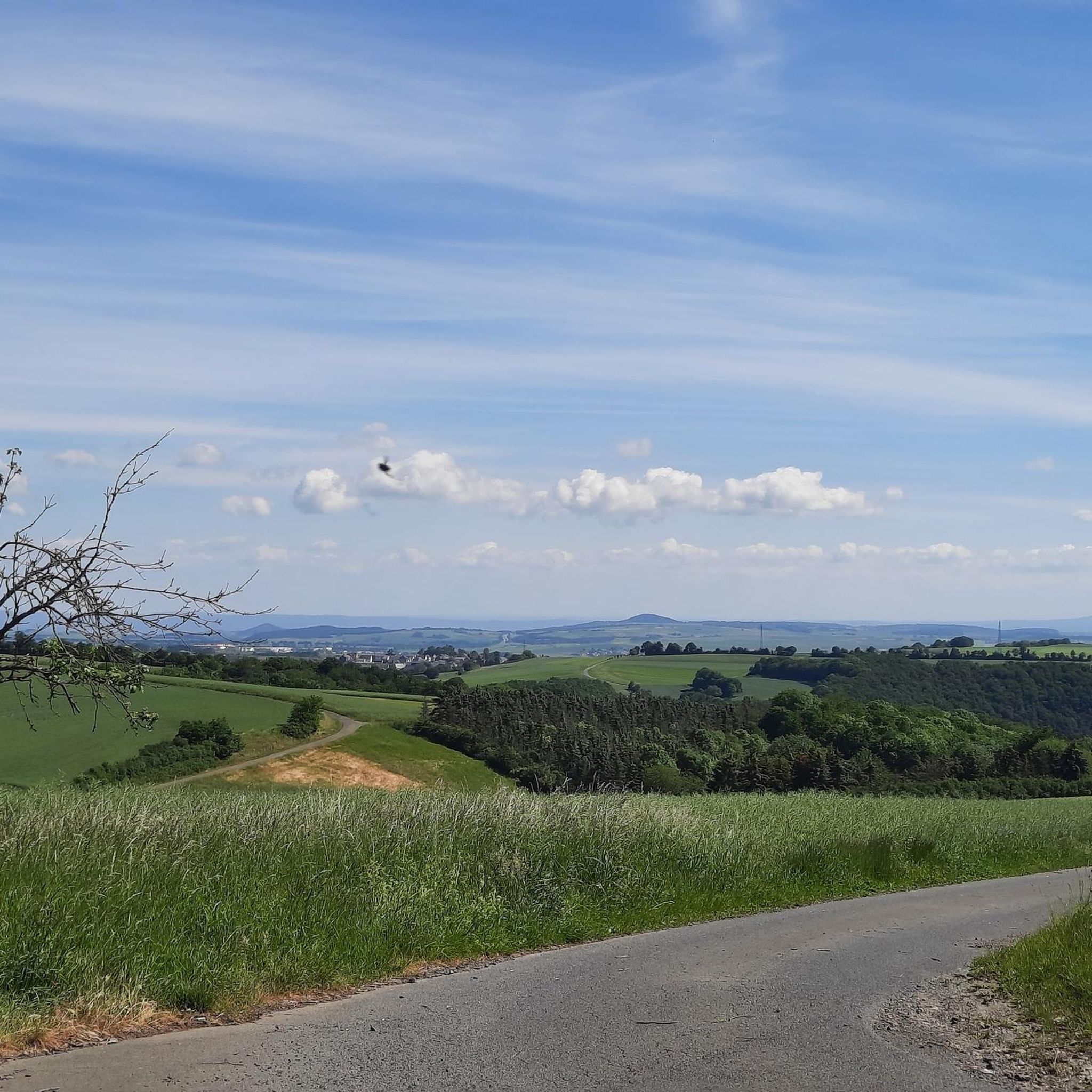
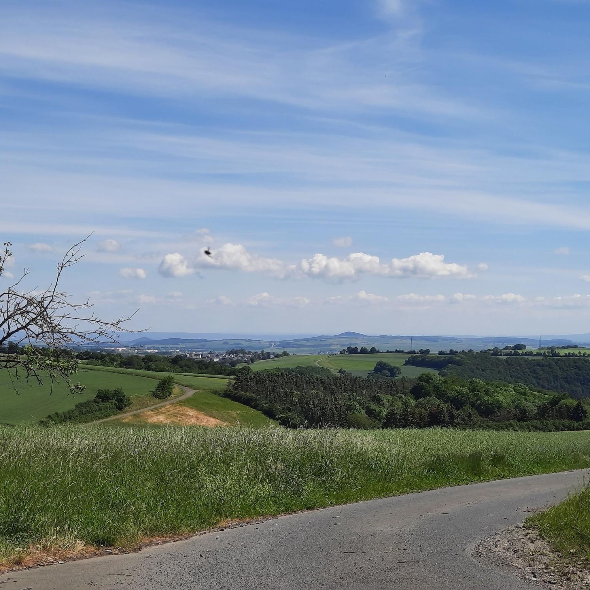
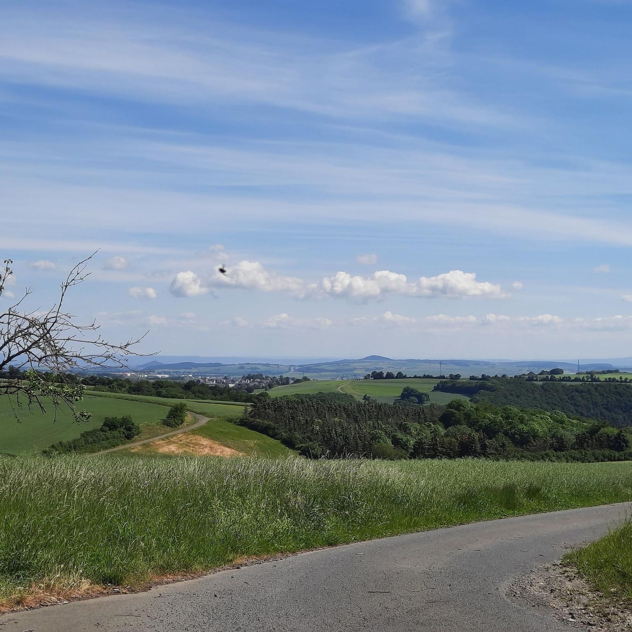
Mountain biking around Roes offers diverse terrain across dramatic mountain landscapes and plateaus. The region features a mix of quiet gravel roads, forest trails, and demanding singletrack. Riders can expect varied elevation, including steep and rocky sections, alongside flowy pine needle trails. This area is characterized by its expansive wilderness, shaped by glacial activity, and bordered by national parks.
Best mountain bike trails around Roes
- The most popular mountain bike trail is Pyrmonter Mill – Bridge over the Elzbach loop…
Last updated: August 9, 2026
4.8
(54)
118
riders
38.1km
03:20
510m
510m
Hard mountain bike ride. Good fitness required. Advanced riding skills necessary. Some portions of the route may require you to push your bike.
4.2
(18)
23
riders
32.7km
02:43
560m
560m
Moderate mountain bike ride. Good fitness required. Suitable for all skill levels.

Sign up for free
5.0
(6)
31
riders
46.7km
03:47
740m
740m
Hard mountain bike ride. Good fitness required. Advanced riding skills necessary. Some portions of the route may require you to push your bike.
4.6
(5)
21
riders
61.8km
04:42
770m
770m
Hard mountain bike ride. Good fitness required. Advanced riding skills necessary. Some portions of the route may require you to push your bike.
4.8
(5)
12
riders
27.5km
02:44
460m
470m
Hard mountain bike ride. Good fitness required. Advanced riding skills necessary. Some portions of the route may require you to push your bike.
Get access to more routes and recommendations from other explorers.
Sign up for free
Already have an account?
Our route recommendations are based on thousands of hikes, rides, and runs completed by other people on komoot.
Start today with a free account
Your next adventure awaits.
Login or Signup

Tips from the Community


Has been closed for years, but a very nice spot for a short break
2
0

I like to take a path that runs along a stream. At the beginning of the section, there was hardly any water to be seen. Further down towards the valley, the ditch carried a good amount of water (April)
0
0

Along the water. Pure relaxation, but ⚠️.. you might also encounter a bike coming towards you here
10
0

These views of the castle complex are always absolutely beautiful.
0
0

A true paradise stretches out on the edge of the village of Ulmen on a plateau beneath the Steimelskopf, where a volcano once erupted with a tremendous bang, forming a deep crater with a maar lake, which now serves as a renowned bird sanctuary. The exact age of the Jungferweiher lake cannot be determined, but its morphological shape suggests it is several hundred thousand years old. In early modern times, the Lords of Ulmen used the lake as a fishpond for carp breeding, until it gradually silted up over time, and the residents of Ulmen harvested peat from the former maar for heating purposes. However, in 1942, the decision was made to flood the area again by damming the Ulmener Bach to secure the drinking water supply for the Cochem-Zell district. Today, the Jungferweiher lake, located at an altitude of 428 meters above sea level, covers an area of approximately 170,000 square meters with a depth of 0.8 meters. The pond, along with the Ulmener Maar, is protected for its rare flora and fauna. Many endangered species, such as the snipe and the meadow pipit, breed in the reed-rich banks, while ospreys have been observed hunting. Migratory birds such as cranes, teals, and great grey shrikes roost in the meadows near the Ulmener Jungferweiher every year. Therefore, a walk along the approximately 3-kilometer loop is a must, especially during the migration periods in spring and autumn. At the bird observatory on the western bank, you can observe the birds in their natural habitat. Nowadays, a wide variety of fish species thrive in the shallow waters of the Ulmener Weiher, which can be fished from a fishing pier on the southern bank. Swimming and other water sports are prohibited, however. Fishing permits are issued by the local municipal administration in Ulmen. Since 2023, the Ulmener Maar Tunnel has connected the Jungferweiher underground to the Ulmener Maar. A visit to the 126-metre-long tunnel is highly recommended!
7
0
The Ulmen Maar lies 420 meters above sea level today, covers an area of 5.5 hectares, and is 36 meters deep. The bubbles at the maar's edge demonstrate that volcanism is still active. They bear witness to a turbulent past—but rest assured, there's no eruption in sight! A wall of various rocks and ash, up to 20 meters thick, surrounds the cone. For those interested, these testimonies to this explosive past are beautifully displayed in St. Matthias Church. This unique wall, with its different colored layers and rounded inclusions, is worth seeing for more than just geologists. The slopes of the maar basin are covered with a beautiful forest, which can be explored on a circular walk. A detour to the medieval castle ruins, from which the Crusaders once launched their campaigns, is recommended. The view from the crater rim over the maar and the Eifel beyond will take your breath away. Whether after a sweaty hike or a long drive, the blue of the Ulmer Eifel lake is all too tempting in summer. However, bathing in the maar is prohibited because it is designated as a nature and water protection area.
7
0
After the flood it was destroyed but was rebuilt and became very, very beautiful
2
0
Frequently Asked Questions
How many mountain bike trails are available around Roes?
There are over 430 mountain bike trails around Roes, offering a wide range of options for different skill levels. You'll find everything from easy paths to challenging singletracks.
What kind of terrain can I expect on mountain bike trails in Roes?
Mountain biking around Roes features diverse terrain, including quiet gravel roads, forest trails, and demanding singletrack. Riders can expect varied elevation, with some steep and rocky sections, alongside flowy paths.
Are there any easy mountain bike trails suitable for beginners in Roes?
Yes, Roes offers over 50 easy mountain bike trails, perfect for beginners or those looking for a more relaxed ride. These routes typically have less elevation gain and smoother surfaces.
What are some challenging mountain bike trails for experienced riders in Roes?
Experienced riders looking for a challenge can explore trails like the Schwanenkirche – Eltz Castle loop from Kaifenheim, which covers over 46 km with significant elevation changes. Another demanding option is the Eltz Castle – Giant Bench near Möntenich loop from Kaifenheim.
What do other mountain bikers enjoy most about the trails in Roes?
The mountain bike trails in Roes are highly rated by the komoot community, with an average score of 4.6 stars from over 2,100 reviews. Riders often praise the varied terrain, the beautiful natural surroundings, and the well-maintained paths that cater to different skill levels.
Are there any circular mountain bike routes in Roes?
Many of the mountain bike trails in Roes are designed as loops, allowing you to start and finish at the same point. Examples include the Pyrmonter Mill – Bridge over the Elzbach loop from Kaifenheim and the Schilzergraben – Pommernmühle loop from Brachtendorf.
What natural features or landmarks can I see along the mountain bike trails in Roes?
The trails around Roes offer access to several notable natural features and landmarks. You can ride through the scenic Elzbach Valley, explore the Dortebachtal Nature Reserve, or encounter the impressive Eltzbach Valley gorge.
Are there any historical sites or castles accessible by mountain bike in Roes?
Yes, the region around Roes is home to historical sites. You can find routes that pass near the famous Eltz Castle, a stunning medieval castle nestled in the hills. Some trails, like the Schwanenkirche – Pyrmont Castle loop from Roes, also lead past other historic structures.
Are there trails that feature bridges or interesting architectural elements?
Yes, some routes incorporate interesting architectural features. For instance, the Pyrmonter Mill – Bridge over the Elzbach loop from Kaifenheim includes a ride over the picturesque Stone Bridge over the Elzbach.
What is the average duration for mountain bike tours in Roes?
The duration of mountain bike tours in Roes varies greatly depending on the trail's length and difficulty. Moderate trails like the Schilzergraben – Pommernmühle loop from Brachtendorf can take around 2 hours 40 minutes, while more challenging routes might take over 4 hours.
Can I find trails that follow river valleys in Roes?
Absolutely. The region features several trails that wind through river valleys, offering scenic views and often more gradual inclines. The Elzbach Valley is a prominent example where you can find such routes.
Most popular routes around Roes
Most popular attractions around Roes

Get inspired with the komoot mobile app


Explore more
Browse the best MTB trails in other regions.
