The best road cycling routes around Rietberg
4.6
(186)
3,085
riders
184
rides
Road cycling around Rietberg, located in North Rhine-Westphalia, Germany, features flat to gently rolling landscapes. The region offers an extensive network of well-developed cycleways, many with paved surfaces suitable for road bikes. Cyclists can explore picturesque river valleys, such as those along the Ems and Dalke, and pass by historical sites and traditional mills. The terrain is generally accessible, accommodating various cycling abilities.
Best road cycling routes around Rietberg
- The most popular road cycling route is Great country road –…
Last updated: October 7, 2026
4.9
(10)
206
riders
121km
05:17
1,000m
1,000m
Hard road ride. Very good fitness required. Mostly well-paved surfaces and easy to ride.
4.8
(16)
282
riders
78.7km
03:09
180m
180m
Moderate road ride. Good fitness required. Some segments of this route may be unpaved and difficult to ride.

5.0
(2)
133
riders
115km
04:55
820m
820m
Moderate road ride. Good fitness required. Mostly well-paved surfaces and easy to ride.
4.8
(6)
259
riders
118km
04:39
280m
280m
Moderate road ride. Good fitness required. Mostly well-paved surfaces and easy to ride.
4.0
(4)
84
riders
72.8km
03:00
130m
130m
Moderate road ride. Good fitness required. Some segments of this route may be unpaved and difficult to ride.
Get access to more routes and recommendations from other explorers.
Already have an account?
Our route recommendations are based on thousands of hikes, rides, and runs completed by other people on komoot.
Start today with a free account
Your next adventure awaits.
Popular around Rietberg
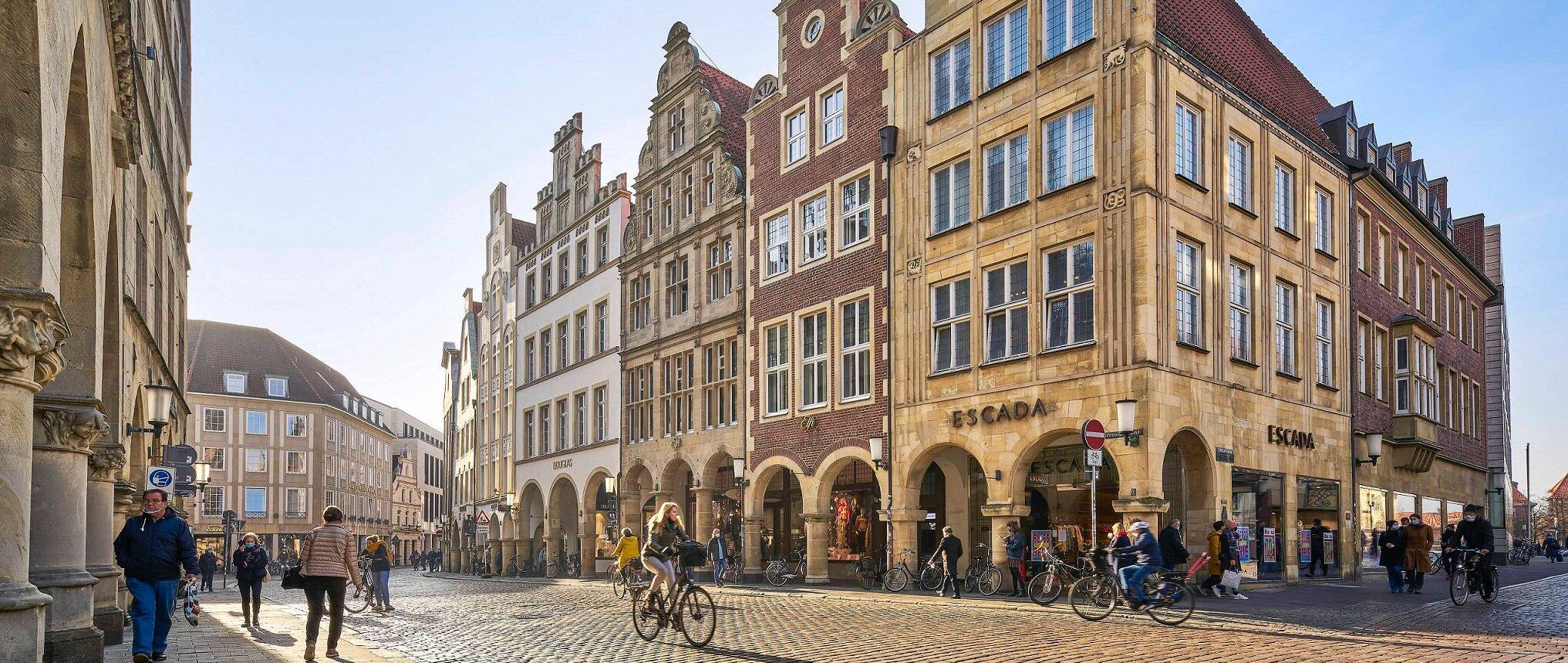
Germany's Westphalian City Tour — linking historic town centres
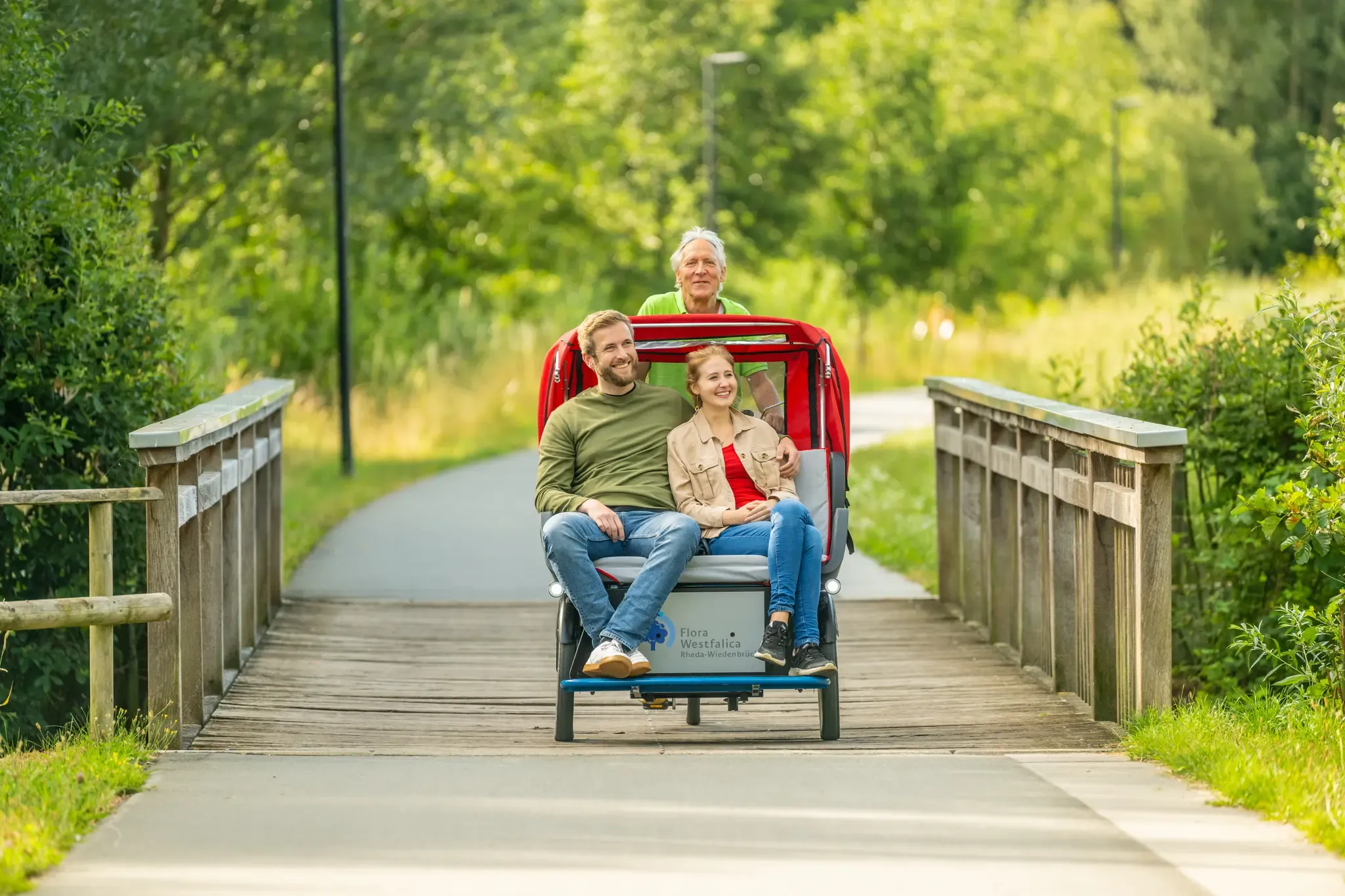
Historic Town Centres cycling route
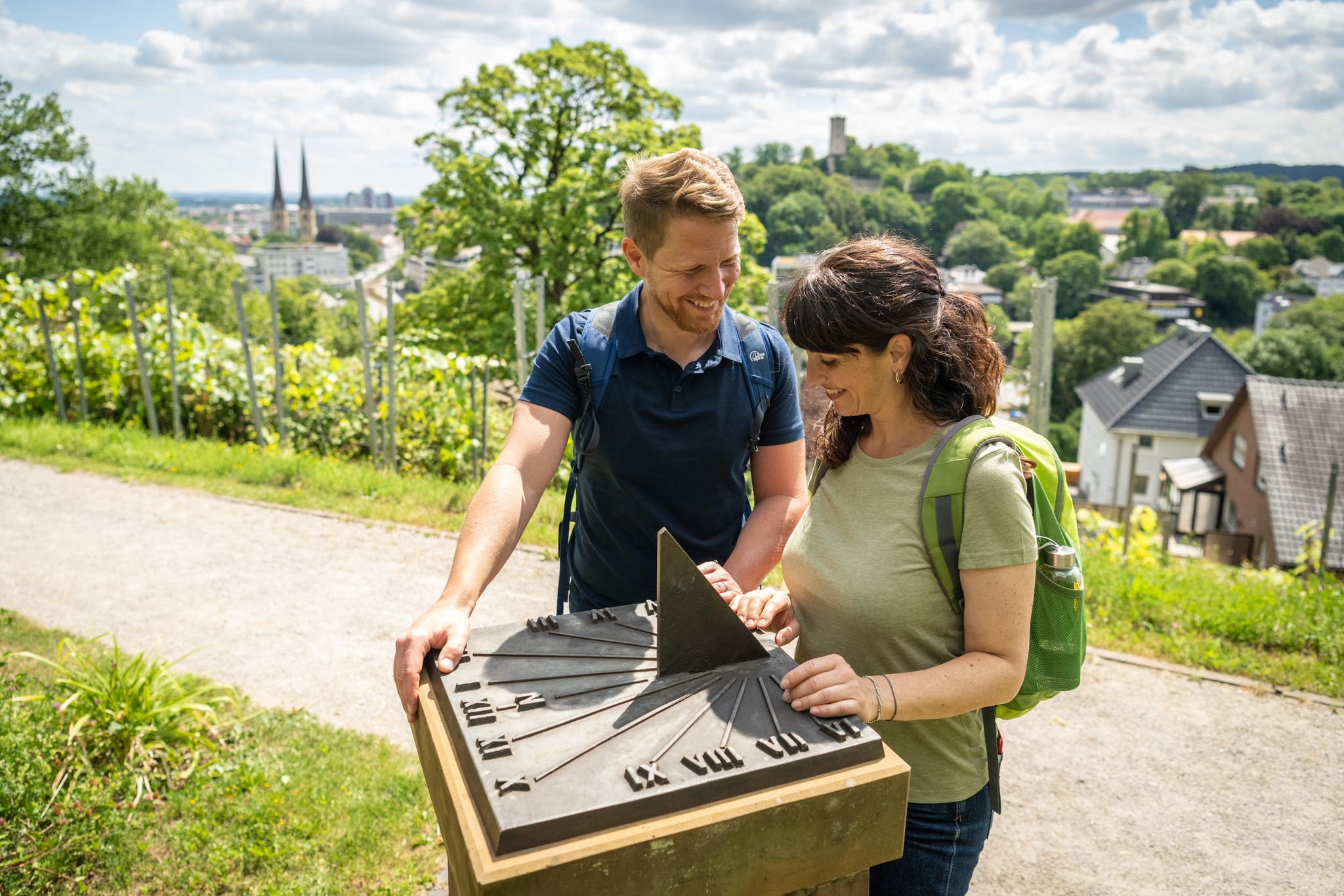
Town, country and river hiking – Germany’s Teutoburg Forest trails
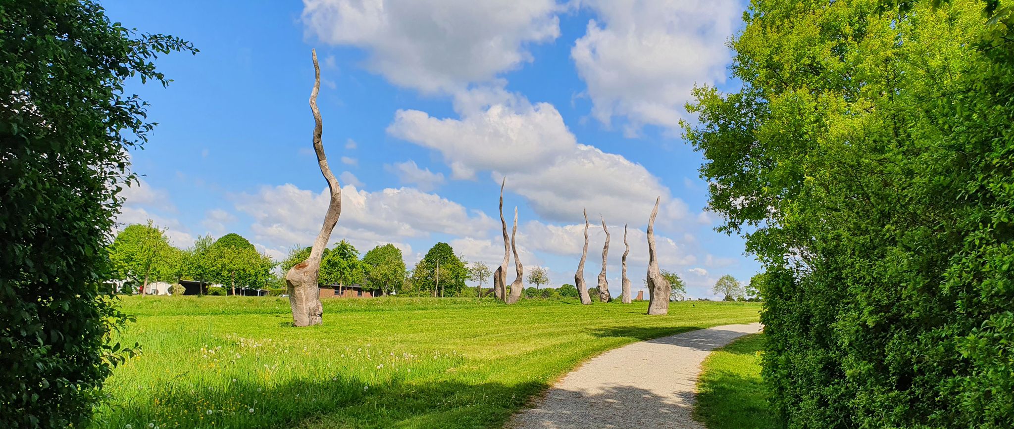
Qualität trifft auf Erlebnis – 5-Sterne-Wandern im Teutoburger Wald
Cycling around Rietberg
Hiking around Rietberg
Running Trails around Rietberg
MTB Trails around Rietberg
Gravel biking around Rietberg
Other adventures around Rietberg


Tips from the Community

Ultra-steep ascent or descent. But paved.
0
0

Really nice route with many stones to rest on. You can see how nature is taking the space it needs
1
0

Great route, it leads all the way to Gütersloh.
0
0

Great section. BUT: not on sunny Sundays between 10 a.m. and 5 p.m., because it'll be crowded (or overrun ;-).
0
0


Neo-Gothic cruciform hall church from 1879-1881. The church tower dates back to the previous building from 1545.
1
0

"Wall" is a bit of an exaggeration. Moderate incline is more accurate.
0
5

The beautiful, late Baroque chapel was completed in 1753. The floor plan is interesting and above the door there is a large, detailed coat of arms.
2
0
Frequently Asked Questions
What kind of terrain can I expect on road cycling routes around Rietberg?
Road cycling routes in Rietberg feature mostly flat to gently rolling landscapes. The region is known for its extensive network of well-developed cycleways, many of which have paved surfaces ideal for road bikes. You'll find yourself cycling through picturesque river valleys, such as those along the Ems and Dalke, with generally accessible terrain suitable for various cycling abilities.
How many road cycling routes are available in Rietberg?
There are over 175 road cycling routes available around Rietberg. These routes cater to different skill levels, with 56 easy routes, 118 moderate routes, and a few more challenging options.
Are there any circular road cycling routes in Rietberg?
Yes, many road cycling routes in Rietberg are designed as loops. For example, the Rietberg Town Hall – Schwarzenraben Castle loop from Neuenkirchen is a moderate 78.4 km route connecting historic town centers with scenic stretches. Another option is the Lutterweg to Isselhorst – Rietberg Old Town loop from Rietberg, covering 69.4 km.
What kind of attractions can I see along the road cycling routes in Rietberg?
Rietberg's road cycling routes often pass by a mix of natural and historical attractions. You might encounter historical sites like Rheda Castle or Schloss Schwarzenraben. Nature lovers can explore areas like the South Observation Tower at Steinhorster Becken, a significant biotope, or the Lippeaue Nature Reserve. The historic town center of Rietberg itself, with its half-timbered houses and moated castle, is also a highlight.
Are there family-friendly road cycling options in Rietberg?
Rietberg's flat to gently rolling terrain makes it suitable for family-friendly road cycling. Routes along the Ems Cycle Path, for instance, offer easy, mostly paved surfaces. The region's well-developed cycle path network ensures a safe and enjoyable experience for families, allowing for leisurely rides through scenic landscapes.
What are the elevation gains like on Rietberg's road cycling routes?
Most road cycling routes in Rietberg feature relatively low elevation gains, consistent with the flat to gently rolling landscape. For example, the Rietberg Town Hall – Schwarzenraben Castle loop has an elevation gain of about 179 meters over 78.4 km. Some longer routes, like the Böddeken Estate – Eringerfeld Castle loop, can have more significant climbs, reaching around 811 meters over 113.4 km, offering a moderate challenge.
Where can I find parking for road cycling routes in Rietberg?
Parking is generally available in and around Rietberg, particularly near the starting points of popular routes or in the town center. Many routes are accessible from various points, allowing you to find convenient parking in local villages or designated parking areas before starting your ride.
Can I access road cycling routes in Rietberg using public transport?
Rietberg is part of the North Rhine-Westphalia region, which has a public transport network. While direct access to every trail might vary, you can typically reach Rietberg and surrounding towns by bus or train, often allowing for bike transport. It's advisable to check local public transport schedules and bike carriage policies for specific routes.
What do other road cyclists say about the routes in Rietberg?
The road cycling routes in Rietberg are highly regarded by the komoot community, holding an average rating of 4.7 stars from over 130 reviews. Cyclists often praise the well-maintained paved surfaces, the scenic river landscapes, and the charming historical sights encountered along the way.
Are there any cafes or pubs along the road cycling routes in Rietberg?
Yes, many road cycling routes in Rietberg pass through or near charming towns and villages where you can find cafes and pubs. Especially along popular paths like the Ems Cycle Path or routes connecting historic town centers, you'll discover opportunities to stop for refreshments and local cuisine.
What is the best time of year for road cycling in Rietberg?
Rietberg experiences a temperate climate, with warm summers being ideal for road cycling. Spring and autumn also offer pleasant conditions with milder temperatures and beautiful scenery. While cycling is possible year-round, the warmer months provide the most comfortable and enjoyable experience for exploring the region's natural beauty.
Most popular routes around Rietberg
Most popular attractions around Rietberg

Get inspired with the komoot mobile app


Explore more
Browse the best Road cycling routes in other regions.
