The best MTB trails around Farini
4.4
(158)
1,217
riders
23
rides
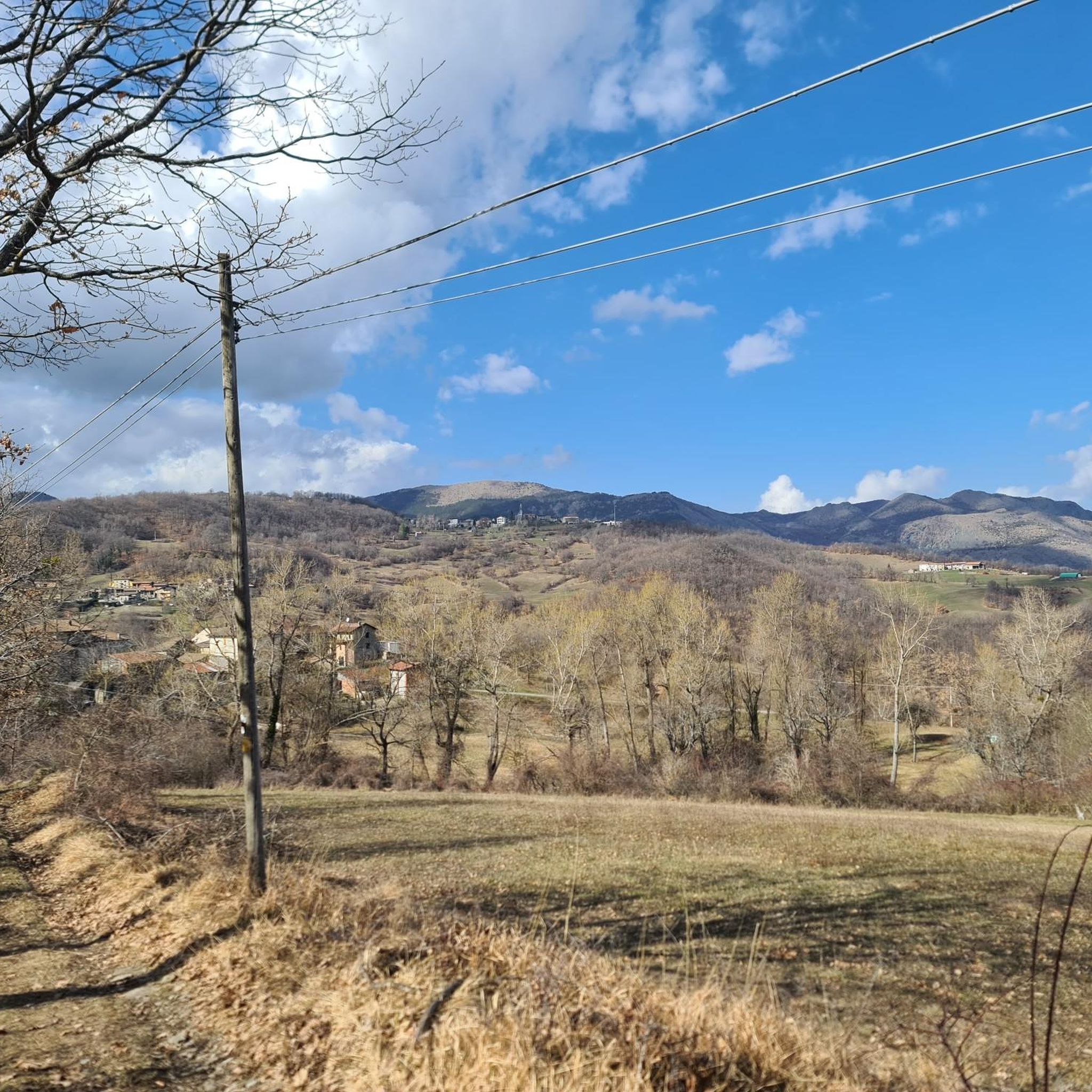
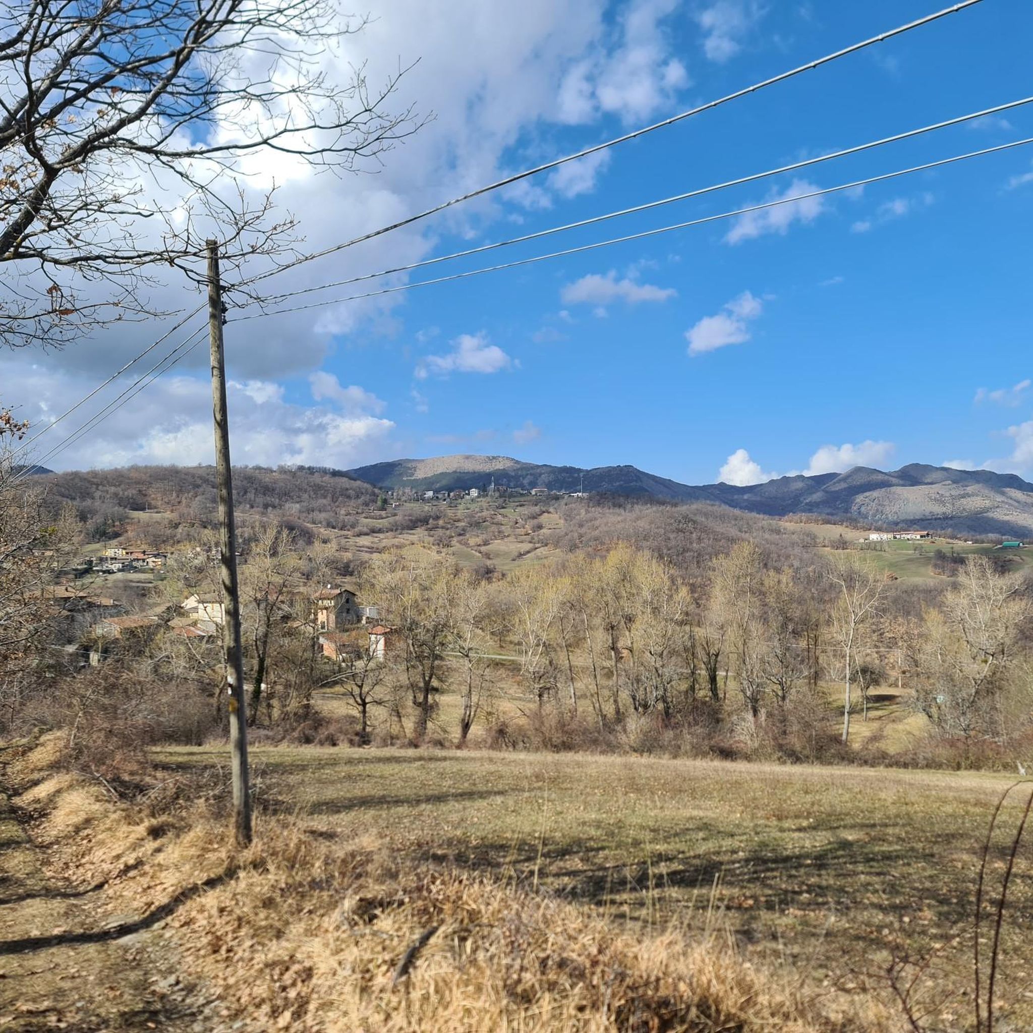
Mountain bike trails around Farini are situated within Italy's Alta Val Nure Outdoor Area, which features an extensive network of over 560 kilometers of paths. The region is characterized by diverse terrain, including ancient lakes, woodlands, and the higher elevations of the Nure Valley. Mount Aserei, at 1,432 meters, offers panoramic views and is a notable natural feature. Glacial lakes such as Lake Moo and Lake Bino also contribute to the varied landscape.
Best mountain bike trails around Farini
- The most popular mountain bike trail is Passo di S. Barbara loop from Farini, a 23.9 miles (38.6 km) trail that takes 3 hours 42 minutes to complete. This difficult route winds through diverse landscapes of the Alta Val Nure.
- Another top favourite among local mountain bikers is Passo di Monte Menegosa – Rocky Area loop from Farini, a difficult 19.2 miles (30.8 km) path. This trail features varied terrain including rocky sections and panoramic views.
- Local mountain bikers also love the Vigonzano loop from Farini, a 15.9 miles (25.7 km) trail leading through woodlands, often completed in about 2 hours 46 minutes.
- Mountain biking around Farini is defined by ancient lakes, dense woodlands, and the pastures of Mount Aserei. The extensive network offers options for different ability levels, from moderate to difficult.
- The routes in Farini are highly rated by the komoot community with an average score of 4.4 stars from more than 100 reviews. More than 1000 mountain bikers have used komoot to explore Farini's varied terrain.
Last updated: August 11, 2026
14
riders
36.2km
03:26
1,170m
1,170m
Hard mountain bike ride. Very good fitness required. Advanced riding skills necessary.
5.0
(1)
12
riders
31.9km
03:27
1,030m
1,030m
Hard mountain bike ride. Very good fitness required. Advanced riding skills necessary. Some portions of the route may require you to push your bike.

Sign up for free
11
riders
43.6km
03:06
760m
760m
Moderate mountain bike ride. Good fitness required. Suitable for all skill levels.
4.0
(1)
6
riders
25.7km
02:47
810m
810m
Moderate mountain bike ride. Good fitness required. Advanced riding skills necessary.
4.0
(2)
13
riders
60.0km
04:25
1,170m
1,170m
Hard mountain bike ride. Very good fitness required. Advanced riding skills necessary. Some portions of the route may require you to push your bike.
Get access to more routes and recommendations from other explorers.
Sign up for free
Already have an account?
Our route recommendations are based on thousands of hikes, rides, and runs completed by other people on komoot.
Start today with a free account
Your next adventure awaits.
Login or Signup
Popular around Farini

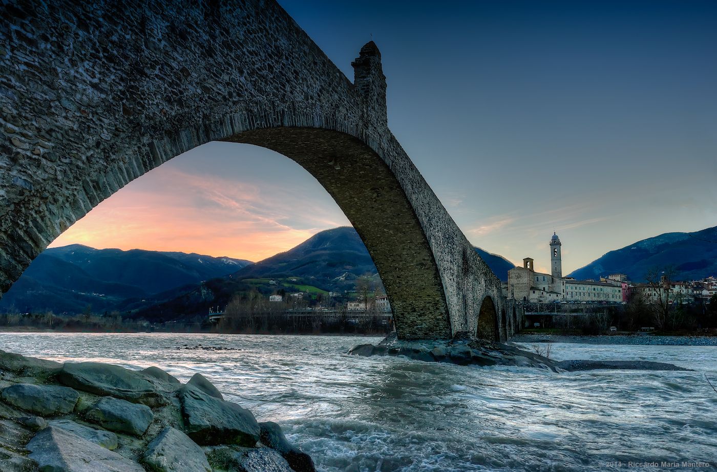
Apennine Cycle Route (Part 1) - From Liguria to Umbria
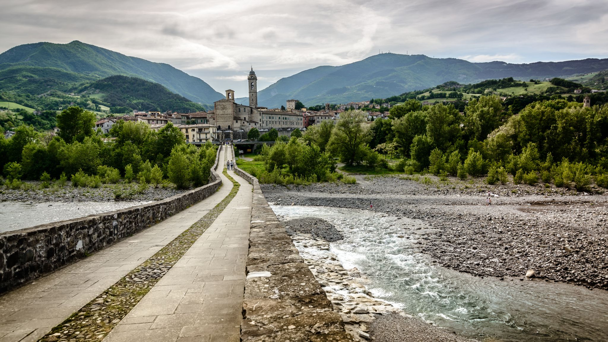
Hike from Milan to the sea – Path of the Celts and Ligurians
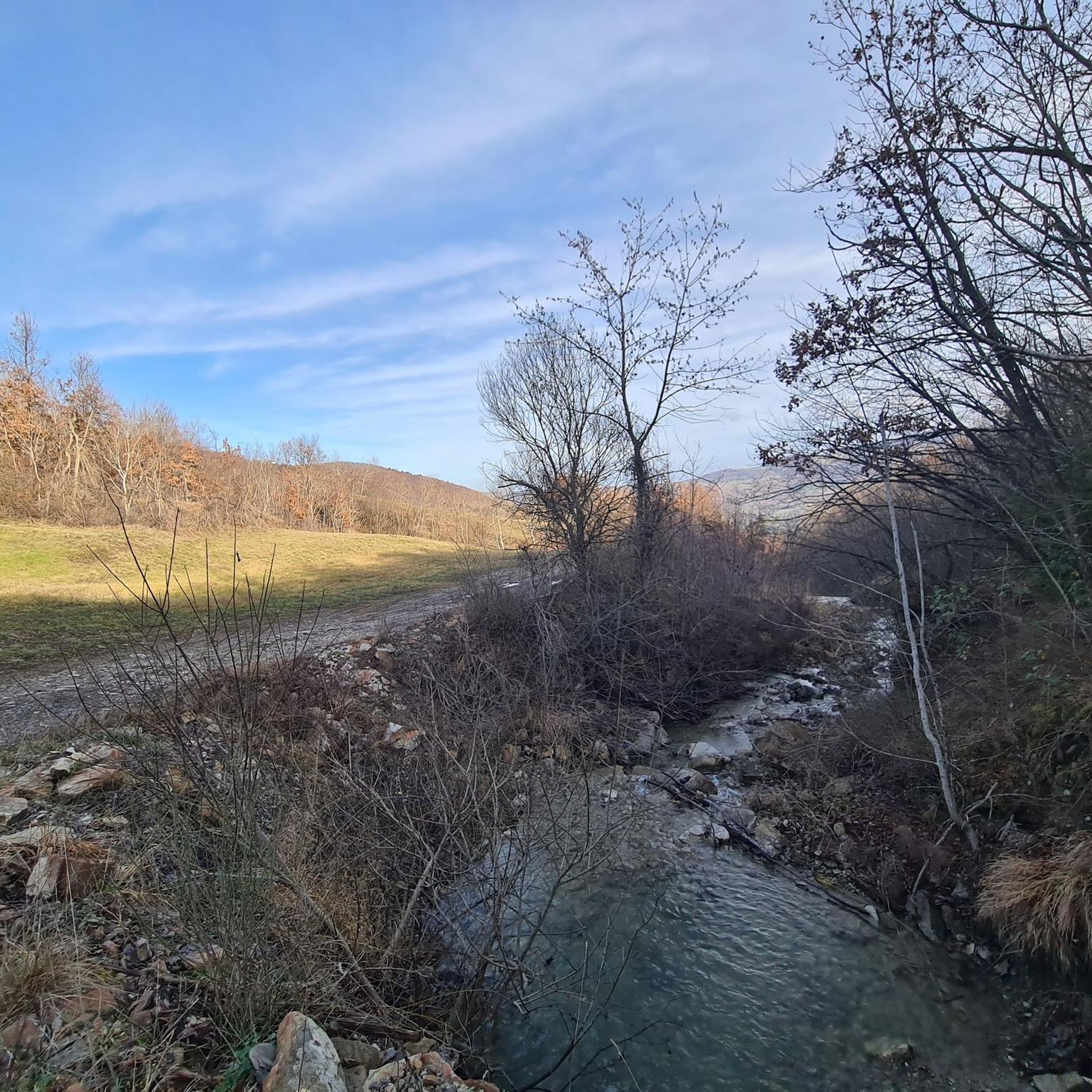
A historic hike from Pavia to Pontremoli – Via degli Abati
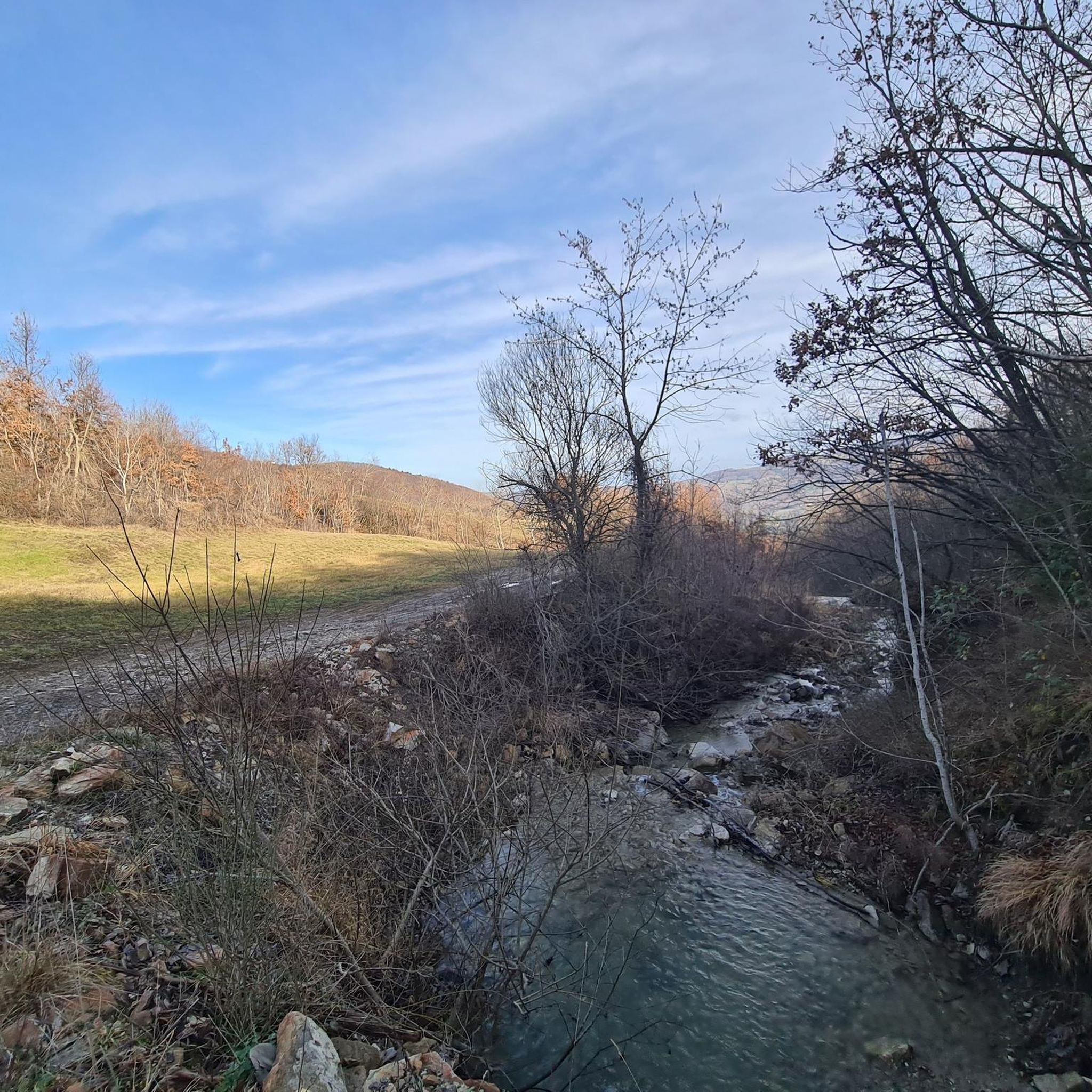
Hiking around Farini
Road Cycling Routes around Farini
Cycling around Farini
Running Trails around Farini

Gravel biking around Farini
Other adventures around Farini


Tips from the Community

Even before the castle was built, the monks of the Abbey of Bobbio passed through Bardi on their Way to the Sea.
0
0

The singular basaltic monolith beneath the Bardi castle is located at the beginning of the Bardi - Borgo Val di Taro stage of the Via degli Abati
0
0

If you need to refill your water bottle, it's great and very cool!
0
0
http://www.castellodigambaro.it/ The name Gambaro is of Lombard origin and appears for the first time in a diploma of King Ratchis in 747, with which this territory was assigned to the monastery of Bobbio. In the late Middle Ages, Gambaro came into the possession of the Malaspina, a large marquis family originally from Lunigiana that expanded up to the Ligurian-Emilian Apennines. The Malaspina family is responsible for the construction of the current castle (probably at the beginning of 1500), powerful and severe, all in local stone, but also soberly elegant, with the typical Renaissance plan with a central courtyard and four towers at the corners. When the Malaspina of Gambaro died out in 1624, the castle passed to the Farnese ducal chamber and then, in 1687, to the Landi of Rivalta. The Landi, around 1785, sold the castle to the Bacigalupi, a family of Genoese who owned it until the 1930s. During the Napoleonic domination the castle was the seat of the “mairie” (municipality). The members of the Bacigalupi family usually held the position of priest, notary and local administrator. In the twentieth century the castle had various owners, it was the seat of a school and a farm. Finally, from the 1960s it underwent a more serious degradation, abandoned to collapses, demolitions and the removal of valuable architectural elements. The protection constraint was placed by the responsible ministry in 1985. In the last decade it has been restored to obtain a residential and reception place. The town of Gambaro is located in the province of Piacenza, in Alta Valnure at 860 m above sea level, in the municipality of Ferriere, in the Emilia-Romagna region. It is a regional and provincial border area as it borders the provinces of Parma and Genoa. The upper Valnure is wedged to the southwest at the base of the highest mountains of the Ligurian-Emilian Apennines such as Mount Ragola, Mount Bue, Mount Nero, Mount Maggiorasca. From the tops of these mountains on clear days you can see the Ligurian sea. We are an hour's drive from Piacenza and an hour and a half from Chiavari. The village is located four km from the capital Ferriere, on the provincial road n. 654 that leads to Liguria.
0
0

A pretty little village with its characteristic castle, a convenient stopover for those taking the Appennino Bike Tour.
0
0
Another hill on the Appennino Bike Tour, going up from Farini you find gentle slopes, along the entire ridge before the hill Apennine panoramas galore.
1
0

On this path you will encounter a solitary tower near a welcoming meadow followed by a small stream that is easy to cross. This is the Tower of Sant’Antonino, once the bell tower of a small mountain church that unfortunately collapsed today. It is thought that the church was a resting place for pilgrims on their way to Rome, being on the route of the ancient Via degli Abati. For many years, the tower of Sant’Antonino was believed to be a watchtower of the Nicelli family, but it had a completely different origin, even if the soldiers of the noble family certainly used it for this purpose in times after its foundation. An important restoration and redevelopment project, recently completed, has returned the tower to its original beauty. There is also a rather sinister historical fact that concerns it. According to what is reported in the book: “Dell’Historia Ecclesiastica di Piacenza” written by the canon Pietro Maria Campi, the church was deconsecrated in the 15th century following a bloodbath that occurred inside and led to the death of one or more individuals. Today, there are many legends about this disturbing episode…so visit the tower and pay attention. Surely some restless soul still wanders within its walls” (taken from "Trail Valley - La Torre Solitaria" cit. from Walking in Fabula by Umberto Petranca).
1
0

Tried it once but the asphalt is terrible, a shame because the climb is beautiful and not very challenging
0
0
Frequently Asked Questions
How many mountain bike trails are available in Farini?
Farini, located within the Alta Val Nure Outdoor Area, offers an extensive network of trails. For mountain biking specifically, there are over 20 routes available, ranging from moderate to difficult in intensity.
What is the overall difficulty level of mountain bike trails in Farini?
The mountain bike trails in Farini cater to riders seeking a challenge. There are 8 moderate routes and 12 difficult routes, making it an ideal destination for intermediate to advanced mountain bikers. There are no easy routes listed.
What kind of terrain can I expect on mountain bike trails around Farini?
You can expect a diverse range of terrain, from ancient lakes and dense woodlands to the higher elevations of the Nure Valley. The region is known for its picturesque views and tranquil escape, with trails winding through varied landscapes, including rocky sections and pastures.
Are there any notable natural features or viewpoints along the trails?
Yes, the region boasts several natural highlights. Mount Aserei, at 1,432 meters, offers stunning panoramic views of both the Nure and Trebbia valleys. You might also encounter glacial lakes like Lake Moo and Lake Bino. For a specific viewpoint, consider the Summit Cross of Monte Carevolo.
Are there any circular mountain bike routes in Farini?
Many of the mountain bike routes in Farini are designed as loops, allowing you to start and finish in the same location. Examples include the challenging Passo di S. Barbara loop from Farini, the scenic Passo di Monte Menegosa – Rocky Area loop from Farini, and the woodland-focused Vigonzano loop from Farini.
What are some challenging mountain bike trails for experienced riders?
Experienced riders will find plenty of challenging options. The Passo di S. Barbara loop from Farini is a difficult 38.6 km route with over 1200 meters of elevation gain. Another demanding option is the Passo di Monte Menegosa – Monte Lama Summit Cross loop from Farini, covering 42.9 km with significant climbing.
When is the best time of year for mountain biking in Farini?
The spring season is particularly captivating, especially when the pastures of Mount Aserei are in full bloom. Generally, the warmer months offer the best conditions for exploring the extensive trail network. Always check local weather forecasts before heading out.
What do other mountain bikers enjoy the most about mountain biking in Farini?
The area is highly rated by the komoot community, with an average score of 4.4 stars from over 100 reviews. Mountain bikers often praise the diverse landscapes, from ancient lakes and dense woodlands to the pastures of Mount Aserei, and the variety of routes available for different ability levels.
Are there any historical or cultural sites I can explore near the mountain bike trails?
Beyond the natural beauty, the Alta Val Nure area offers charming villages and historical sites. You can find attractions such as the Bardi Castle, the Ponte Gobbo (Bobbio), and the Mulino di Riè. These offer a blend of nature and culture to enrich your visit.
Are there any trails suitable for families with children?
While there are no routes specifically categorized as 'easy' in Farini, some of the moderate trails might be suitable for families with experienced young riders. The extensive network of over 560 kilometers of paths in the Alta Val Nure Outdoor Area offers varied routes, so it's best to review individual trail details for elevation and distance to determine suitability for your family's skill level.
Can I find information about the broader Alta Val Nure Outdoor Area?
Yes, Farini is an integral part of the Alta Val Nure Outdoor Area, which features an extensive network of trails connecting several municipalities. You can find more information about this vast outdoor area and its offerings on external resources such as visitemilia.com.
Most popular attractions around Farini

Get inspired with the komoot mobile app


Explore more
Browse the best MTB trails in other regions.
