The 20 Most Amazing Peaks around Oncino
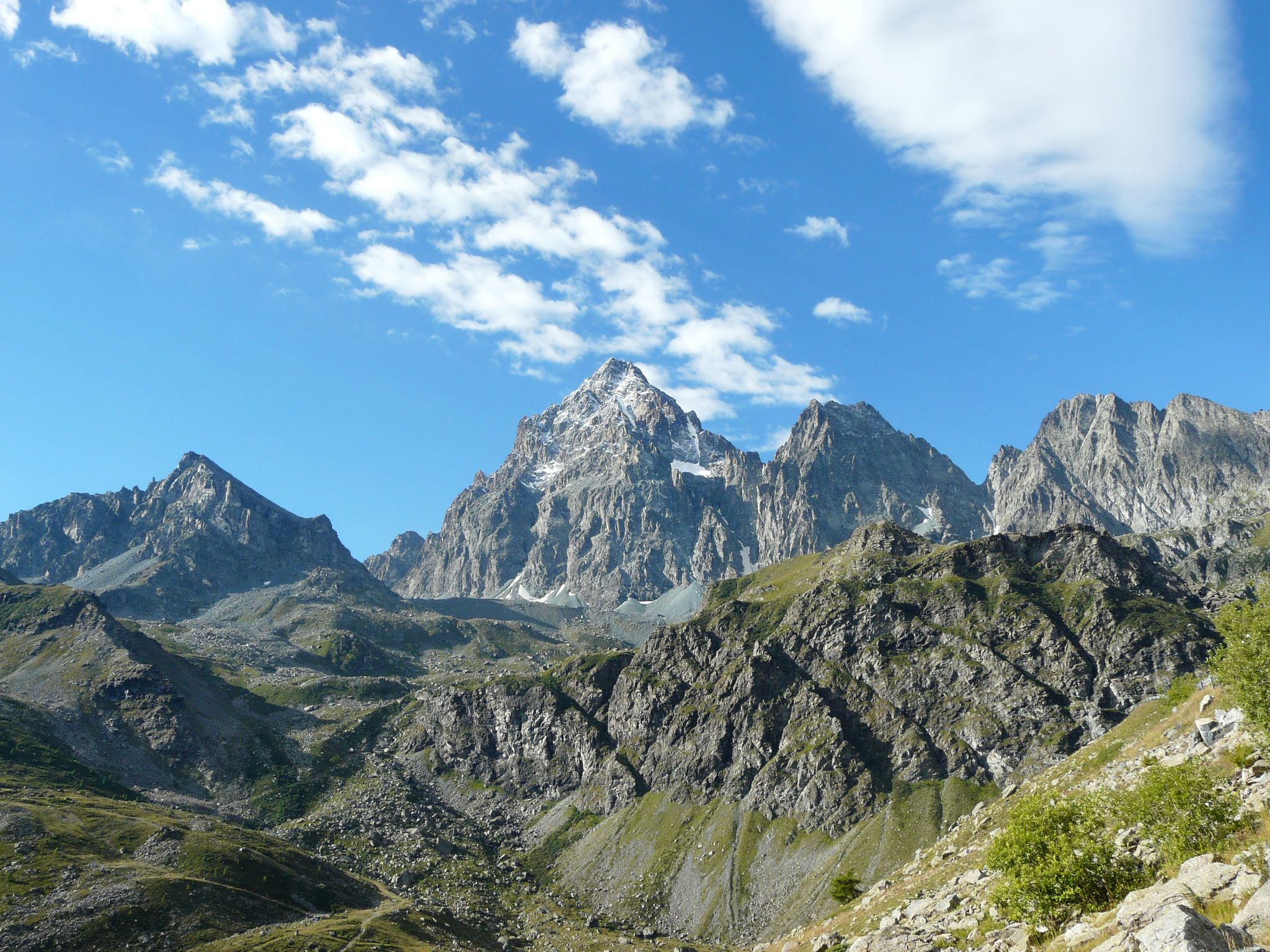
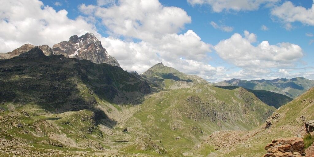
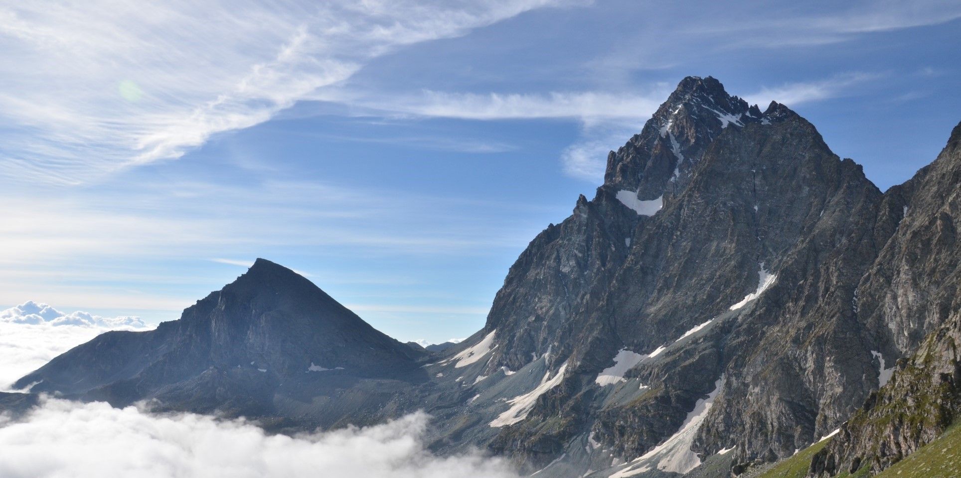
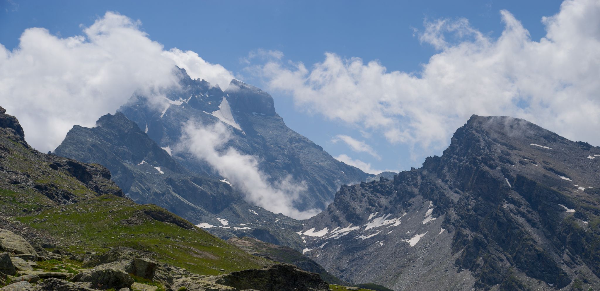
Best mountain peaks around Oncino are found in a charming village nestled in a lateral valley of the Po Valley. This area serves as a gateway to impressive mountain peaks in the Cottian Alps. The region is dominated by the majestic Monviso, offering varied alpine environments. It is also notable as the source of the Po River.
Best mountain peaks around Oncino
- The most popular mountain peaks is Pain de Sucre Summit, a summit that marks the border between…
Last updated: July 7, 2026
Statue of the Virgin Mary at Colle di Sampeyre
Highlight • Monument
Translated by Google •
Tip by

Pain de Sucre Summit
Highlight • Summit
Translated by Google •
Tip by

Sign up now to discover places like this
Get recommendations on the best single tracks, peaks, & plenty of other exciting outdoor places.
Sign up for free
Sampeyre Pass
Highlight • Mountain Pass
Translated by Google •
Tip by

Barbara Lowrie Hut
Highlight • Mountain Hut
Translated by Google •
Tip by

Punta Tre Chiosis
Highlight • Summit
Uphill the last 100 m. of difference in altitude are spintage, the descent to the Helios Refuge is spectacular
Translated by Google •
Tip by

Sign up for free to discover even more peaks around Oncino.
Sign up for free
Already have an account?
Start today with a free account
Your next adventure awaits.
Login or Signup
Popular around Oncino
Tour di Viso – Four days around the Stone King from Castello
Tour di Viso – Four days around the Stone King from Meire Dacant
Viso Tour from Castello (variant) – Three days around the Stone King
Tour di Viso from Pian del Re – Three days around the Stone King

GTA South Piedmont — Hiking in Italy's Occitan valleys
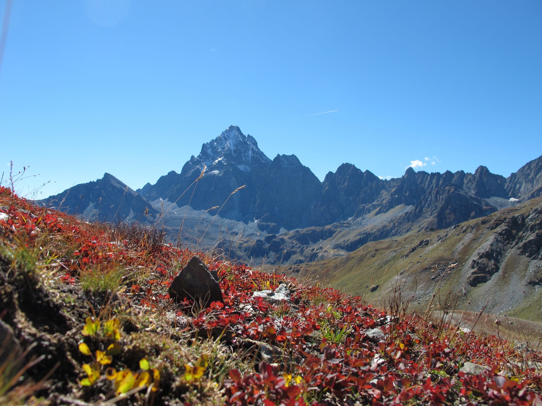
Three days around il Re di Pietra ─ Giro di Viso from Castello
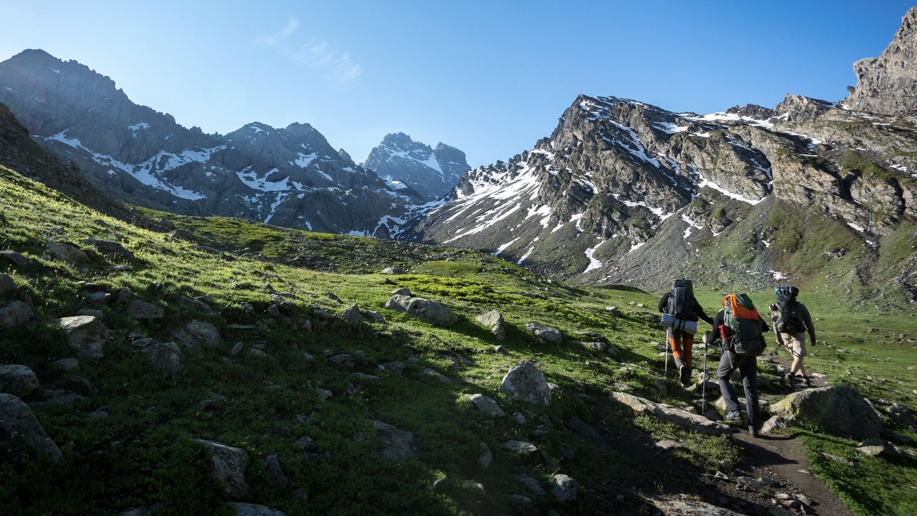
At the foot of the Stone King — hiking around Italy's Mount Viso
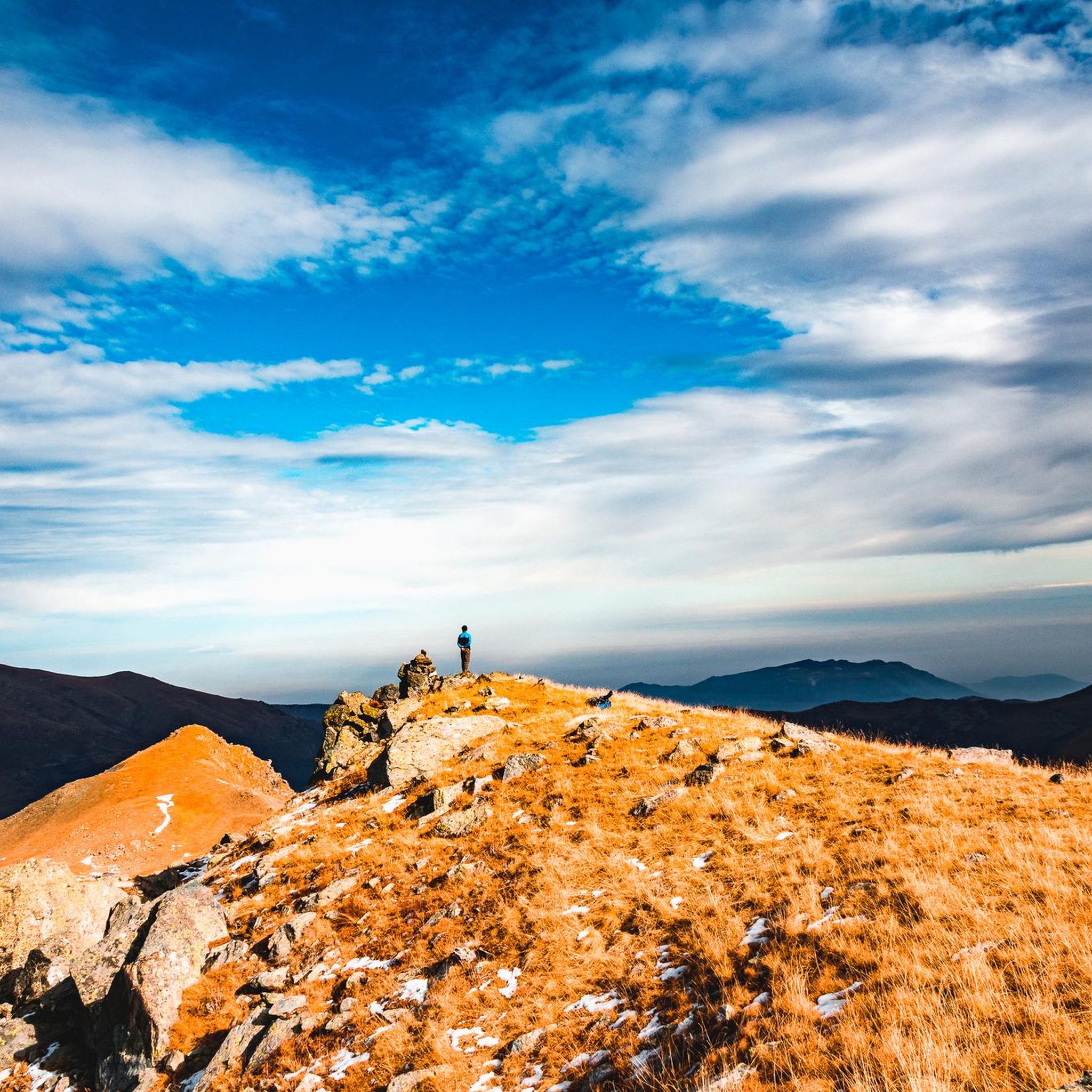
Hiking around Oncino
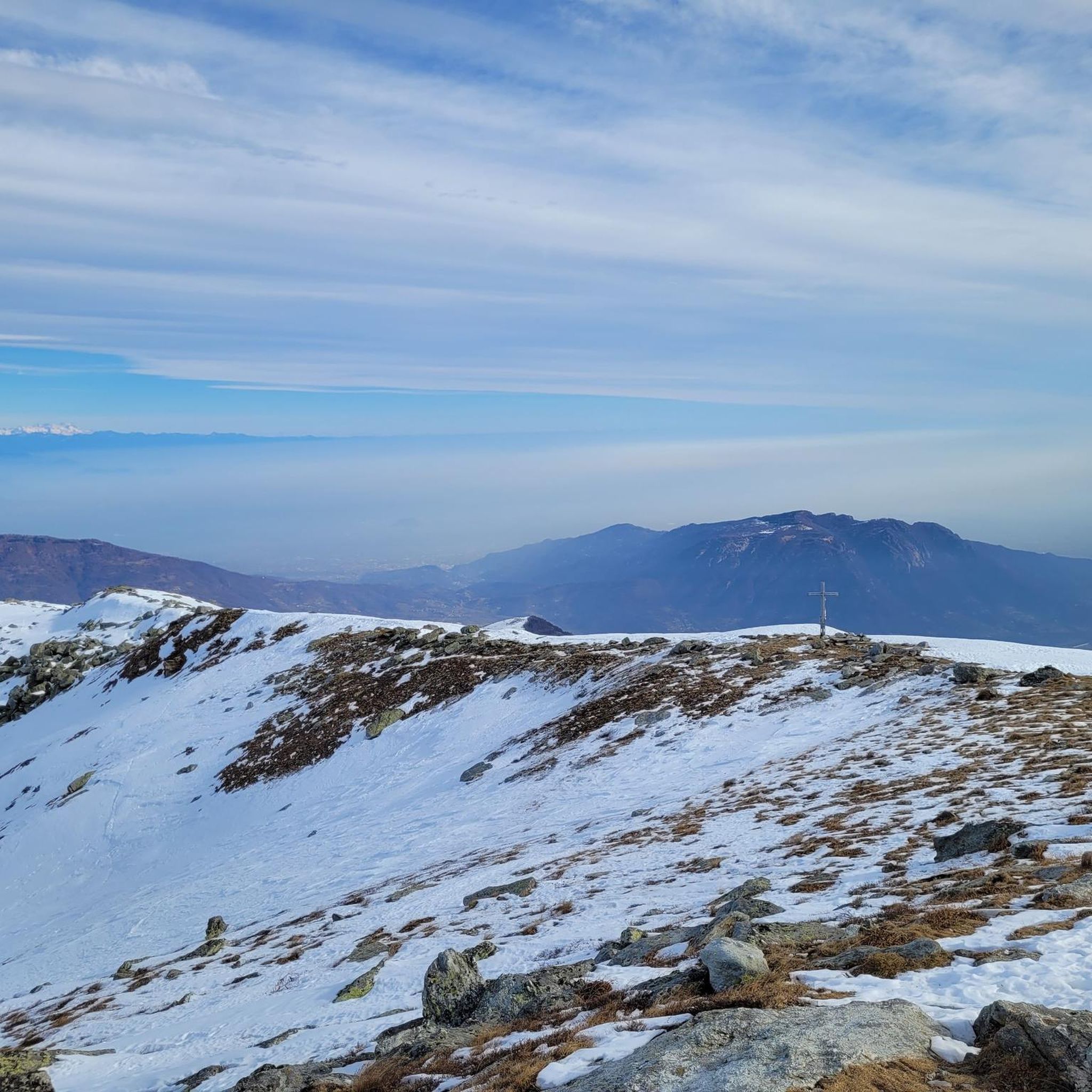
Road Cycling Routes around Oncino
Cycling around Oncino
Other adventures around Oncino


Tips from the Community

To shorten the hike, it's best to take the chairlift to the Helios refuge, saving almost two hours of dirt road that passes by the Savigliano refuge. There aren't any major difficulties, except for the very last few meters where it climbs very steeply.
2
0

Located a few kilometers from Bobbio Pellice in the Pis della Rossa area, in the Carbonieri valley, the refuge is located in a splendid place where you can spend one or more days with family or friends surrounded by nature.
0
0

The Barbara Lowrie refuge is located in Pis della Rossa, in the Carbonieri valley of Bobbio Pellice. It was built in 1928 by a Canadian couple, Walter and Barbara Lowrie, who used it as a hunting lodge. Later, they sold it to the CAI UGET who turned it into a refuge, inaugurating it in 1931. It has a capacity of 24 beds and is open every day from May to October with bar service, restaurant and overnight stay. For more information, visit the refuge website: https://www.rifugiobarbara.it.
1
0

Steep, narrow, lonely, magnificent mountain scenery and plenty of altitude! Do you need more?
2
1

It is one of the most spectacular passes in Piedmont. Without a doubt it is in my Top 5 of Piedmont (Fauniera, Agnello, Nivolet, Colle delle Finestre and Colle di Sampeyre). For many it is a great unknown since Fauniera and Agnello are around it, two passes with a lot of name. It has the characteristics of a colossus: it is long, hard, high (over 2,000m) and has privileged views. Colle Sampeyre connects the Maira valley with the Varaita valley, where the town of Sampeyre is located. It has 3 slopes: two through the Maira valley and one through the Varaita valley. Of the 3, the most special for me is the one through the Elba valley, which starts at Ponte Marmora. The road on the 2 sides of the Maira valley is not in good condition so I suggest going up one of these and going down the side of the Varaita valley, which is in good condition as it was resurfaced in 2023. Obviously, we are talking about narrow roads, with no road signs and no hard shoulder. There is very little traffic, so you only have to worry about the ramps, the views and enjoying nature. Regarding the ban on going up the Elba valley... no problem. You can go up by bike perfectly. At the start of the climb the locals put up a barrier to discourage tourists and prevent them from disturbing their peace and the mountains. Cyclists are very welcome. It has been part of the Giro d'Italia on 2 occasions. On the second occasion, in 2003, it will go down in history as the snowy stage, where Gilberto Simoni crowned and Pantani fell on the descent trying to catch him. As well as being a Top 5 in Piedmont, it is also a Top 15 in Italy. It is a mountain pass that I am very fond of. I always recommend it to cyclists who go through that area.
3
0

Very tough climb, from Pontechianale to the Helios refuge, pedalable with overturning slopes, from the refuge to the summit all portage and push. But the descent is one of the most beautiful I've ever done
1
1
A destination mainly for cyclists and motorcyclists, but also for walkers. You can go up from the municipality of Sampeyre (Val Varaita) or from the municipality of Elva (Val Maira). It crosses the Strada dei Cannoni, a long dirt road of 42 km between the 2 valleys, which touches many municipalities, and starts from Colletta di Rossana and ends at Colle della Bicocca
2
0

https://youtu.be/JgCHce59j6E all on tarmac, from the Sampeyre the ridge path starts as a gravel path. Incredible sea of flowers in July.
2
0
Frequently Asked Questions
Which mountain peaks near Oncino offer the most impressive panoramic views?
For truly expansive vistas, consider the Pain de Sucre Summit, which provides panoramic views of the French, Swiss, and Italian Alps, including distant glimpses of Mont Blanc and Monviso. Another excellent choice is Punta Tre Chiosis, known for its stunning 360-degree landscape, ideal for photographers.
Are there challenging mountain climbs or passes for experienced mountaineers and cyclists near Oncino?
Yes, the region is well-known for its challenging terrain. Monviso, often called the 'King of Stone,' offers a demanding ascent with sections of rock climbing, via ferrata, and snowfields. For cyclists, the Sampeyre Pass is a significant challenge, featuring an average gradient of 7.6% and sections reaching 10.8%, making it a favorite among professional cyclists.
Where can I find accommodation or a starting point for multi-day treks around Monviso?
The Pian del Re Hut, established in 1874, is an excellent base. It serves as a crucial starting point for numerous routes, including the Normal route of Monviso and multi-day treks like the famous Giro del Monviso. It offers accommodation, bar, and restaurant services from early June to late September. Additionally, Rifugio Alpetto, near the source of the Po River, provides beds and is part of various loop hikes.
What are some family-friendly hiking options or less strenuous routes near Oncino?
While many routes in the Monviso area are challenging, the area around Rifugio Alpetto and Lake Alpetto offers more moderate hikes. These trails provide spectacular mountain scenery and serene lake views, making them suitable for those seeking a less strenuous experience with beautiful natural surroundings. The path to Lake Alpetto from Pian del Re is short but rewarding.
What natural features can I explore near the mountain peaks around Oncino?
The region is rich in natural beauty. You can visit the source of the Po River near Rifugio Pian del Re. Lake Alpetto, with its clear waters reflecting the surrounding mountains, is another picturesque spot. The entire area offers rugged alpine environments, snowfields, and meadows, providing diverse natural landscapes to explore.
What is the best time of year to visit the mountain peaks around Oncino for hiking?
The mountain huts, such as Rifugio Pian del Re, are typically open from early June to late September. This period generally offers the most favorable weather conditions for hiking and mountaineering, with less snow at higher altitudes and more stable temperatures. Always check local weather forecasts before planning your trip.
Are there any historical or cultural sites related to mountaineering in the Oncino area?
Yes, the Pian del Re Hut itself has significant historical value, having been established in 1874 to support early mountaineers tackling Monviso. The area around Rifugio Alpetto also connects to the historical roots of Italian mountaineering through a nearby museum, offering insights into the region's rich climbing heritage.
What kind of outdoor activities can I do near the mountain peaks around Oncino?
The area offers a wide range of outdoor activities. You can find numerous hiking trails, from moderate to difficult, including the 'Rifugio Alpetto and Punta Murel Loop' or the challenging 'Tour of Monviso'. For mountaineering, routes like 'Lac Fiorenza – Viso Mozzo Summit loop' are available. Road cycling is also popular, with routes like 'Col Agnel / Colle dell'Agnello – Lac de Pontechianale loop'. You can explore more options in the Hiking around Oncino, Mountain Hikes around Oncino, and Road Cycling Routes around Oncino guides.
What do visitors enjoy most about the mountain peaks around Oncino?
Visitors frequently praise the breathtaking panoramic views, especially from summits like Pain de Sucre Summit and Punta Tre Chiosis. The challenging yet rewarding climbs, the serene alpine lakes, and the sense of immersion in a rugged natural environment are also highly appreciated. The area's connection to the source of the Po River and its rich mountaineering history add to its appeal.
Are there any specific viewpoints or landmarks worth visiting at Colle di Sampeyre?
Yes, the Sampeyre Pass offers beautiful viewpoints between the Varaita and Maira valleys, providing fantastic landscapes and views of the Monviso group. Additionally, the Statue of the Virgin Mary at Colle di Sampeyre is another notable landmark, offering a wonderful all-round view.
Can I find less crowded hiking options in the Oncino mountain area?
While popular spots like Monviso can attract many visitors, exploring areas slightly off the main routes or visiting during shoulder seasons (early June or late September) can offer a more tranquil experience. The numerous trails around Rifugio Alpetto, for instance, provide stunning views and a chance to connect with nature away from the busiest paths.
Is it possible to reach these mountain peaks using public transport or are permits required?
Access to the higher mountain areas typically involves reaching trailheads by car, though some local bus services might operate to villages like Oncino. Specific permits are generally not required for hiking or mountaineering on most trails, but it's always advisable to check with local tourist information or mountain refuges for any current regulations or access restrictions, especially for protected areas or during specific seasons.
Most popular routes around Oncino
Most popular attractions around Oncino

Get inspired with the komoot mobile app


Explore more
See even more amazing summits around Oncino with these guides:
