The best walks and hikes around Prignano Sulla Secchia
4.3
(946)
3,703
hikers
25
hikes
Hiking around Prignano Sulla Secchia offers diverse landscapes within the Modenese Apennines, overlooking the scenic Secchia River valley. The terrain features a mix of mountainous areas, chestnut groves, and coppice woodlands, providing varied hiking experiences. Trails range from gentle paths through the countryside to more demanding mountain routes, catering to different skill levels. The region is known for its pristine natural environment and rich fauna.
Best hiking trails around Prignano Sulla Secchia
- The most popular hiking route is Trail 10…
Last updated: October 10, 2026
7.32km
02:19
310m
310m
Hike the moderate 4.5-mile San Pellegrinetto - Sassomorello - La Canalina - Casa Matteazzi Trail, gaining 1018 feet in 2h 18m.
9.18km
02:54
370m
370m
Hike Trail 10, a moderate 5.7-mile route in Emilia-Romagna, Italy, featuring 1200 feet of elevation gain and taking under 3 hours.

16.7km
05:06
560m
560m
Hike the difficult 10.4-mile Prignano sulla Secchia and Serra Ronda Loop, gaining 1835 feet with views of the Apennine Mountains.
5.0
(4)
15
hikers
12.1km
03:38
400m
400m
Moderate hike. Good fitness required. Easily-accessible paths. Suitable for all skill levels.
5.0
(5)
9
hikers
4.88km
01:28
170m
170m
Easy hike. Great for any fitness level. Easily-accessible paths. Suitable for all skill levels.
Get access to more routes and recommendations from other explorers.
Already have an account?
Our route recommendations are based on thousands of hikes, rides, and runs completed by other people on komoot.
Start today with a free account
Your next adventure awaits.

Tips from the Community

The church has a longitudinal development, with a single nave covered by a barrel vault, with four side chapels, two on each side. The presbytery is divided into two parts: the first part, in the center of which the main altar is located, and the apse. https://chieseitaliane.chiesacattolica.it/chieseitaliane/AccessoEsterno.do?mode=guest&type=auto&code=34866
0
0

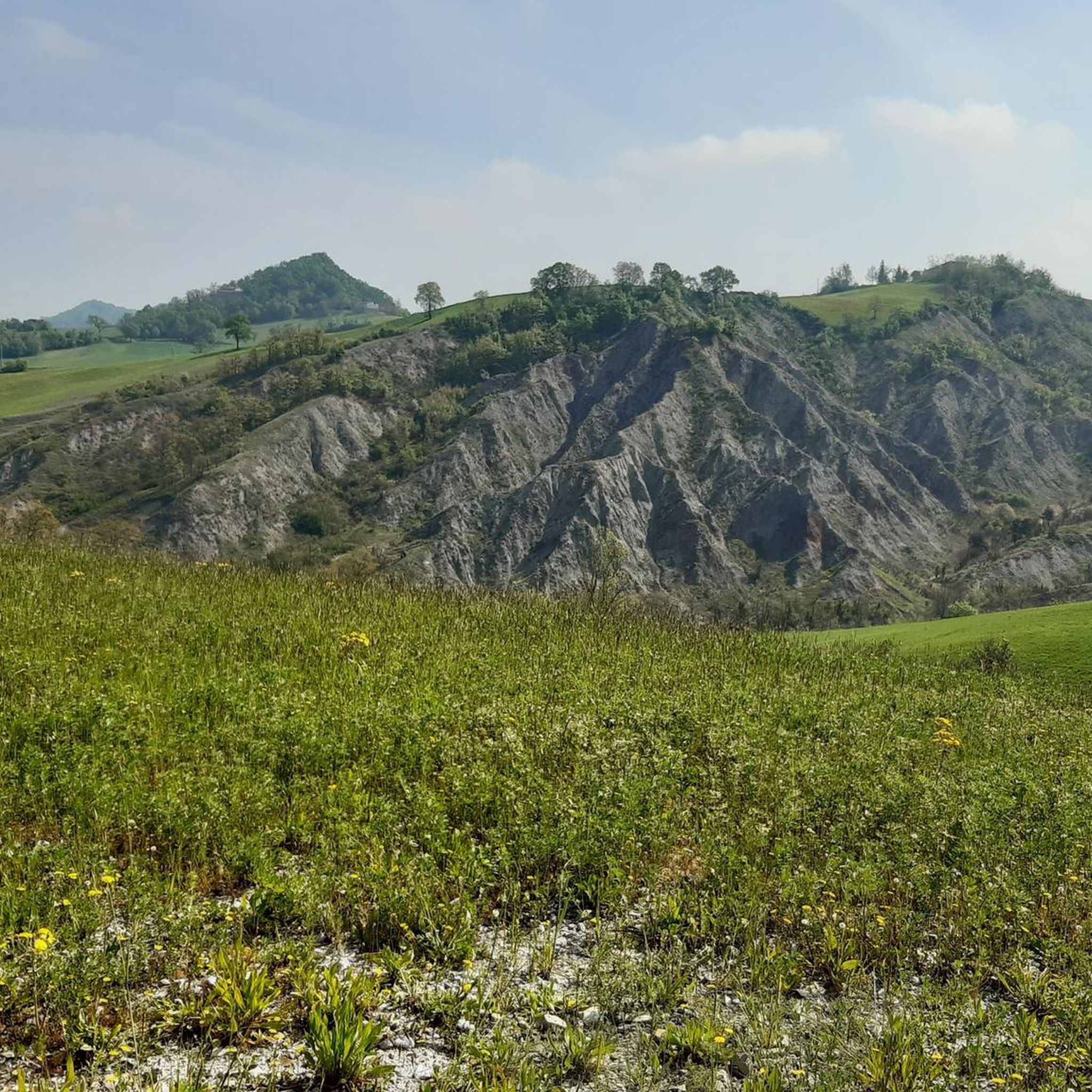
Effort rewarded by a fantastic landscape.
0
0

at the Bench there are also signs for the ring of Prignano even if the path is not very visible. However, if you follow the signs, after a few meters you will arrive directly on the path.
0
0

Giant bench of Prignano sulla Secchia MO
8
0

A large bench with a nice view
18
0

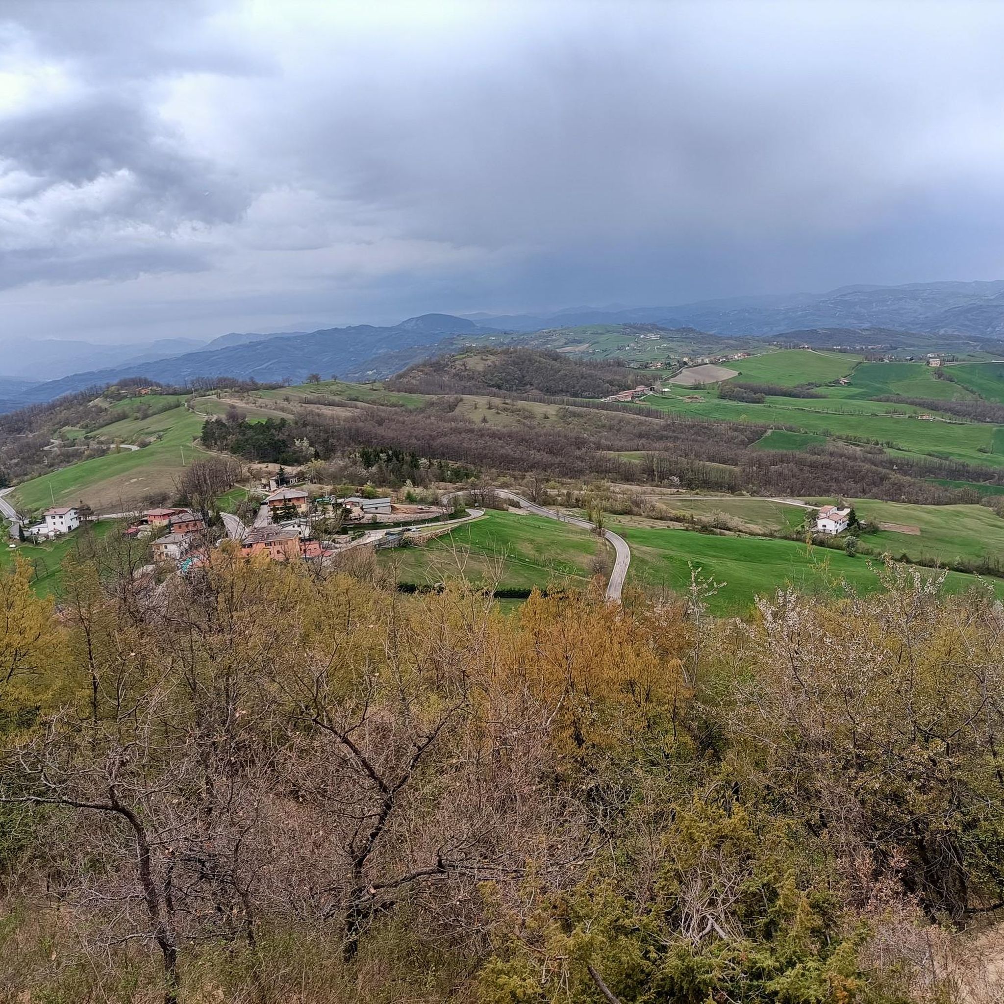
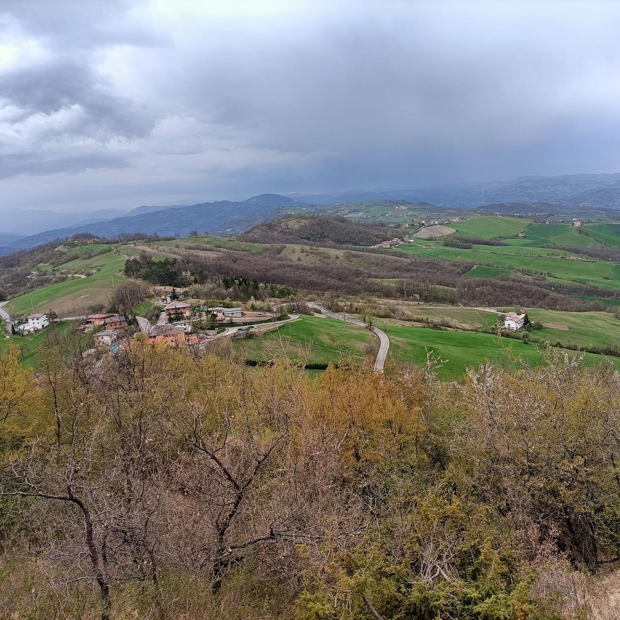
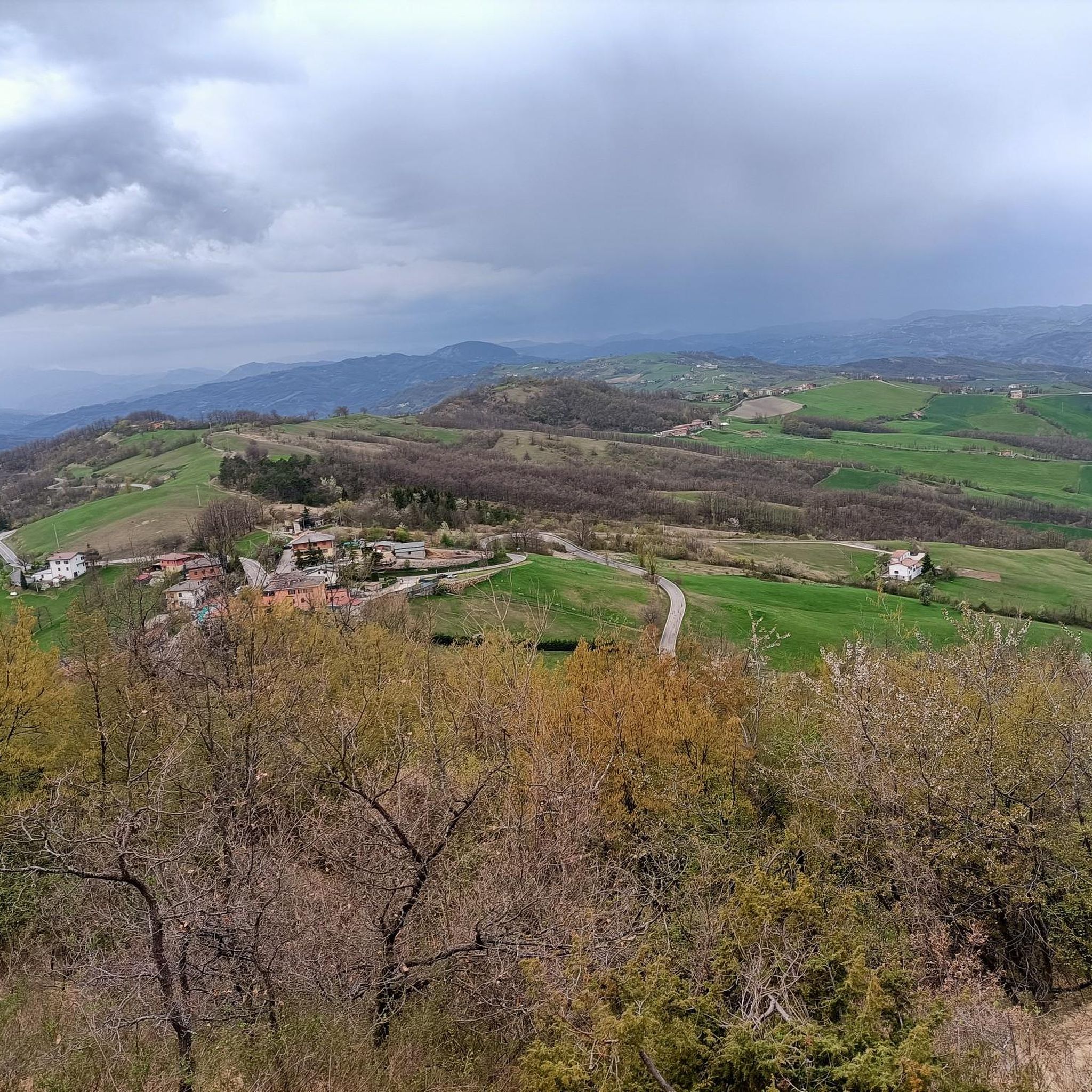
Following this path you walk on the ridge and you have the opportunity to see both the plain (Sassuolo, Castellarano, Varna, Modena etc. and looking towards the mountain you can see the Tuscan-Emilian Apennines, the Cimone, the Cusna, the Bismantova stone. .. Continuing from where I came back, we arrive at Prignano sulla secchia ..
0
0

it is worth going there both on foot and by MTBs
0
0
Frequently Asked Questions
How many hiking trails are available in Prignano Sulla Secchia?
There are over 20 hiking trails around Prignano Sulla Secchia, offering a variety of experiences from easy strolls to more challenging mountain routes. The komoot community has explored more than 20 routes in the area.
What is the best time of year to go hiking in Prignano Sulla Secchia?
The best times to visit Prignano Sulla Secchia for hiking are spring and summer. During these seasons, temperatures are ideal for outdoor activities, allowing you to fully enjoy the diverse landscapes and natural beauty of the Modenese Apennines.
What natural features or landmarks can I expect to see while hiking?
Hikers in Prignano Sulla Secchia can enjoy diverse natural features including the scenic Secchia River valley, extensive chestnut groves, and coppice woodlands. You'll also find panoramic views of the Modenese Apennines, with peaks like Mount Cusna and Mount Cimone visible. Notable landmarks include the Mount of the Three Crosses, offering sweeping views across the Po valley, and the ancient Monte Valestra.
Are there any trails with panoramic viewpoints?
Yes, several trails offer stunning panoramic viewpoints. The Mount of the Three Crosses is a significant site known for its extensive views across the Po valley to cities like Bologna and Modena, as well as various Apennine peaks. You can also find great vistas from Monte Mongigatto and Monte Pizzicano.
Are there options for easy hikes in Prignano Sulla Secchia?
Yes, there are several easy hiking options suitable for those looking for a gentle experience. For example, the route View of the Apennines loop from Prignano sulla Secchia is an easy 3-mile (4.8 km) path. In total, there are 7 easy trails available in the area.
Are there challenging trails for experienced hikers?
Yes, for experienced hikers seeking a challenge, there are more demanding routes. The Prignano sulla Secchia and Serra Ronda Loop is a difficult 10.4-mile (16.7 km) trail leading through the Modenese Apennines, typically taking over 5 hours to complete. Overall, there is 1 difficult trail in the region.
Are there any circular hiking routes in the area?
Yes, Prignano Sulla Secchia offers several circular hiking routes. A popular option is the Prignano sulla Secchia and Serra Ronda Loop, which provides a comprehensive tour of the local landscapes. Another circular route is Prignano – View of the Apennines loop from Prignano sulla Secchia.
Are the trails in Prignano Sulla Secchia suitable for families with children?
Many trails in Prignano Sulla Secchia are suitable for families, especially the easier routes that wind through chestnut groves and offer gentle elevation changes. These paths provide a great opportunity for children to experience nature and spot local wildlife like roe deer and foxes. Look for trails marked as 'easy' for the most family-friendly options.
Are dogs allowed on the hiking trails?
Generally, dogs are welcome on hiking trails in Prignano Sulla Secchia, especially in natural areas like the chestnut groves and woodlands. However, it's always recommended to keep them on a leash and ensure they do not disturb wildlife or other hikers. Specific restrictions might apply in certain protected areas, so always check local signage.
What do other hikers say about the trails in Prignano Sulla Secchia?
The trails in Prignano Sulla Secchia are highly rated by the komoot community, with an average score of 4.3 stars from over 800 reviews. Hikers often praise the diverse terrain, the stunning views of the Apennines and Secchia River valley, and the well-maintained paths that cater to various skill levels.
Is public transport available to reach the hiking trailheads?
Public transport options to reach specific trailheads directly might be limited in some of the more remote areas around Prignano Sulla Secchia. It is advisable to check local bus schedules for connections to the main village, and from there, some trailheads may require a short walk or a private vehicle.
Where can I find parking for hiking trails in Prignano Sulla Secchia?
Parking is generally available in or near the village centers of Prignano Sulla Secchia and other small towns in the area. For specific trailheads, look for designated parking areas, often small lots or roadside pull-offs. It's recommended to plan your route in advance and check for parking information associated with your chosen starting point.
Most popular routes around Prignano Sulla Secchia
Most popular attractions around Prignano Sulla Secchia

Get inspired with the komoot mobile app


Explore more
Browse the best Hikes in other regions.
