The 14 Most Amazing Peaks around Guiglia
Best mountain peaks around Guiglia are situated in the Emilia-Romagna region of Italy, offering elevated positions within the northern Apennines. The area is characterized by its distinctive geological formations, including the prominent Sassi di Roccamalatina sandstone monoliths. Guiglia itself, located at an altitude of 490 meters, provides expansive views over the province of Modena. The region combines natural landscapes with historical interest, featuring a 14th-century castle.
Best mountain peaks around Guiglia
- The most popular mountain peaks is Monte Tre Croci…
Last updated: July 1, 2026
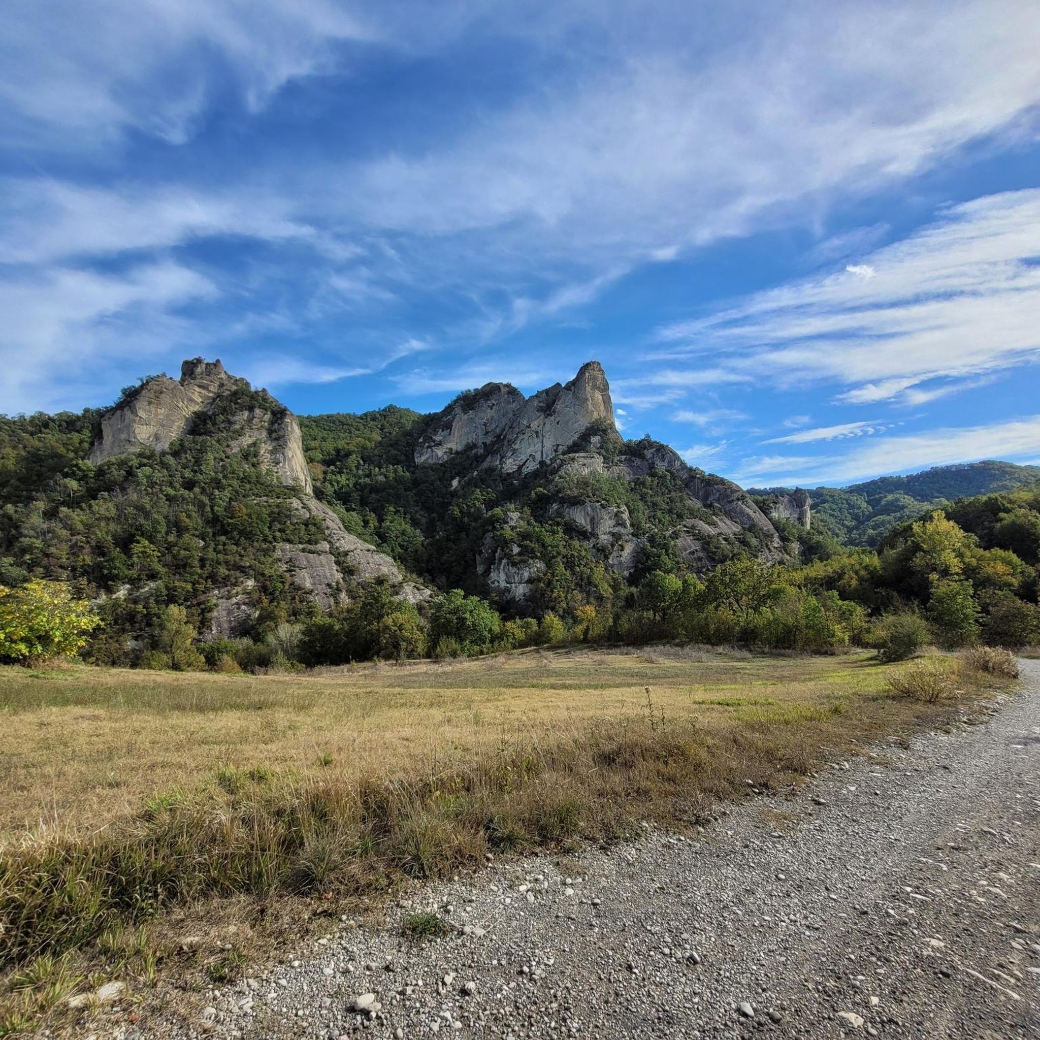
Monte Tre Croci
Highlight • Summit
We advance through the downy oak woods and take the path that leads to Monte delle Tre Croci, passing along the ridge. …
Translated by Google •
Tip by

Abbey of Santa Maria Assunta of Monteveglio
Highlight • Religious Site
Translated by Google •
Tip by

Sign up now to discover places like this
Get recommendations on the best single tracks, peaks, & plenty of other exciting outdoor places.
Sign up for free
Cucherla Hill
Highlight • Summit
Translated by Google •
Tip by

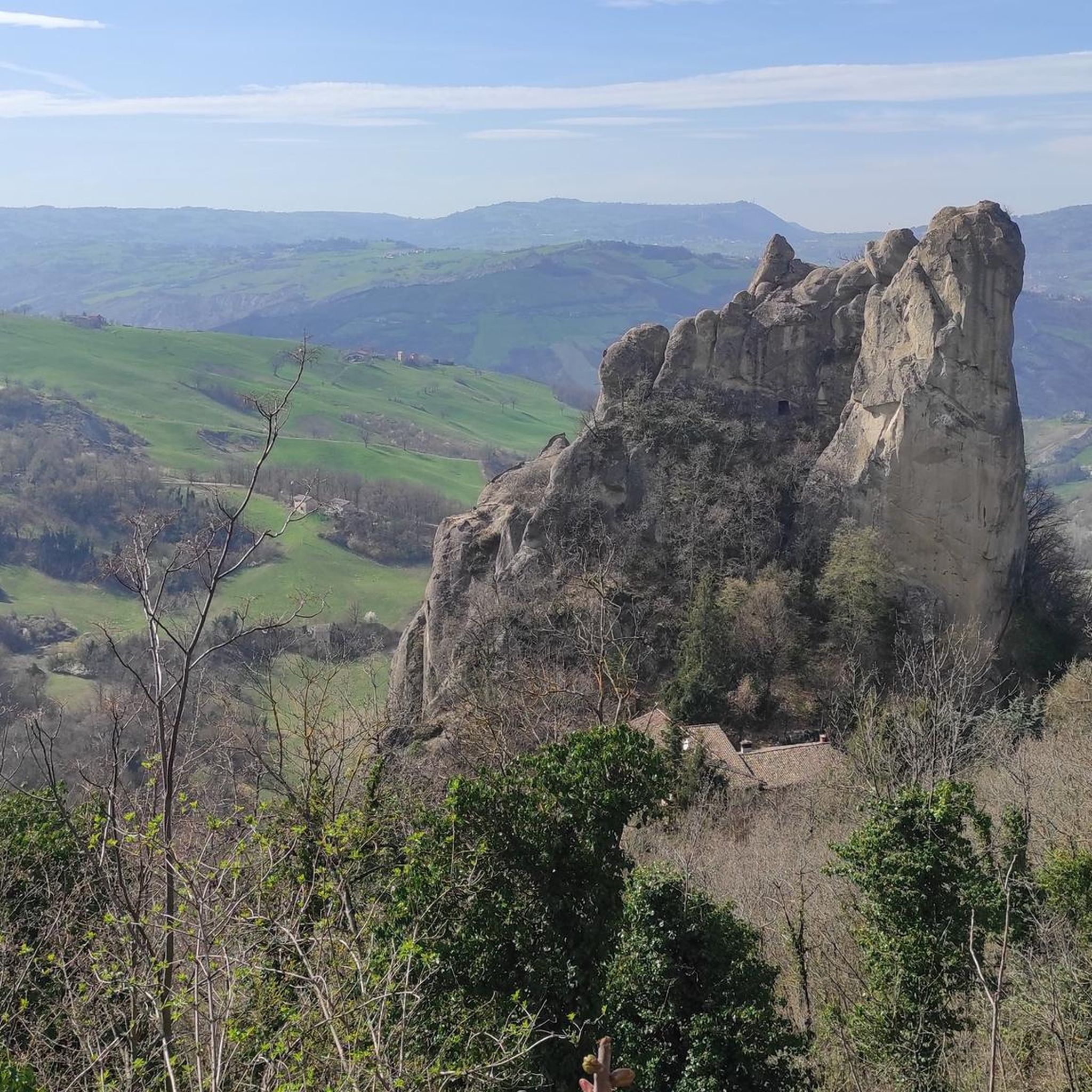
Sasso di Sant'Andrea
Highlight • Natural Monument
No equipment required, as you get directly to the top of the stone from the access path.
Attention to …
Translated by Google •
Tip by

Monte Calvario
Highlight • Summit
Translated by Google •
Tip by

Sign up for free to discover even more peaks around Guiglia.
Sign up for free
Already have an account?
Start today with a free account
Your next adventure awaits.
Login or Signup



Tips from the Community

Visited along the Via dei Brentatori. If you don't find the credential stamp, ask at the Franciscan convent.
0
0

Badlands on the Cucherla Hill
0
0
Beautiful church in Monteveglio Alta.
0
0

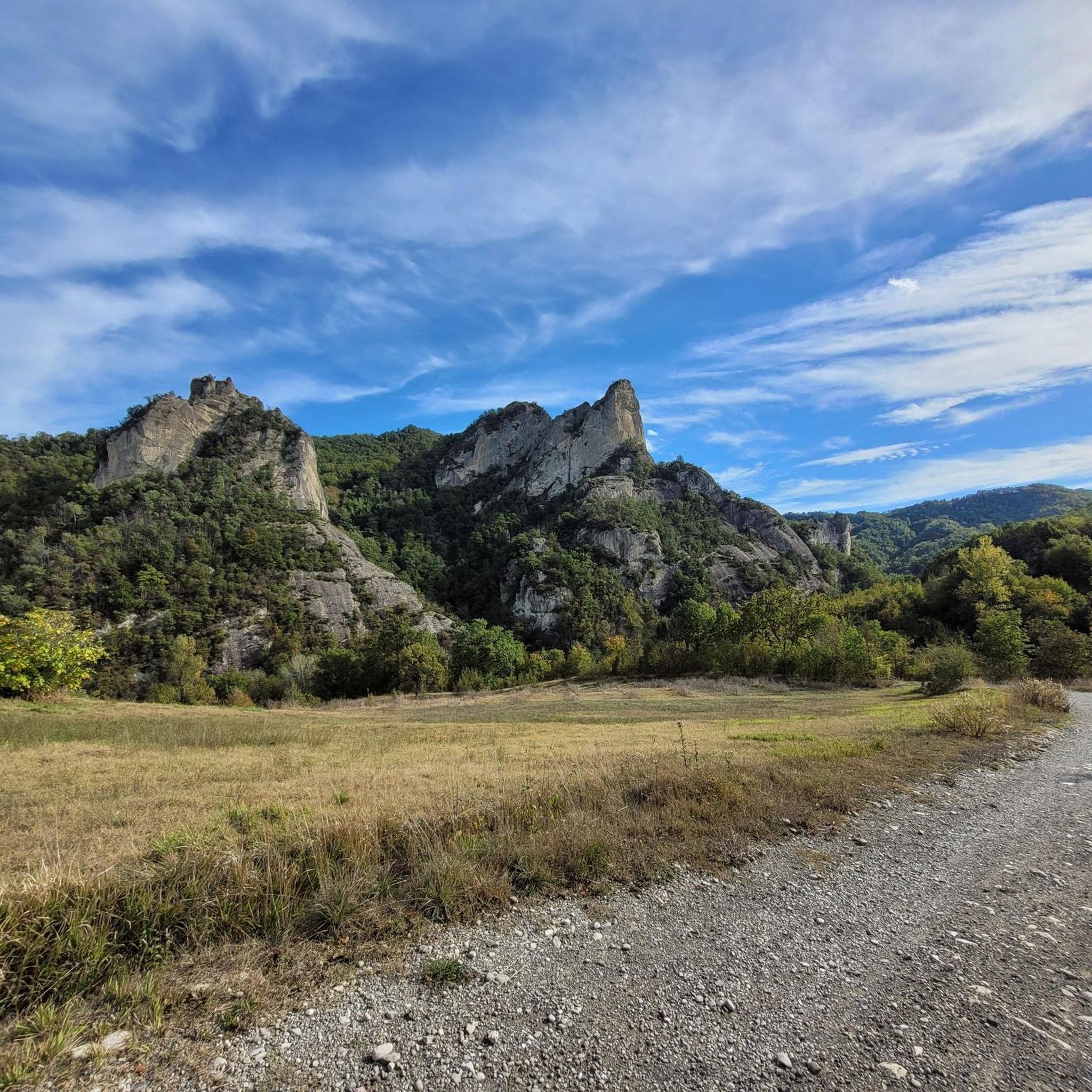
..."From the top of the Sasso you can enjoy a wide panorama that embraces the vast expanse of the Po Valley to the north and to the south, in a closer glimpse, the Montecorone valley."... ..."The herbaceous undergrowth layer of the mesophyte formations is home to numerous species belonging to the list of protected regional flora; there are numerous species of orchids and liliaceae."... Cit: https://www.parchiemiliacentrale.it/parco.sassi.roccamalatina/punti-interest-natura-dettaglio.php?id=184
0
0

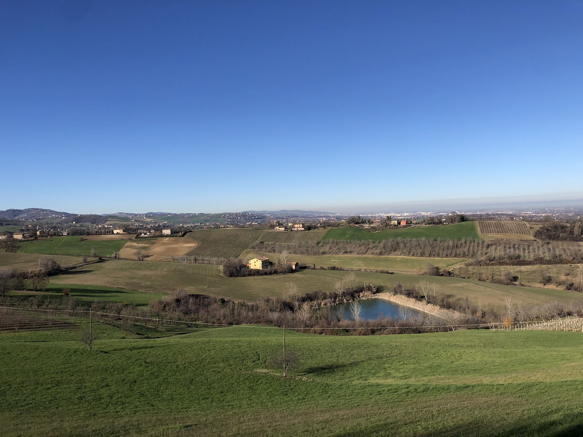
The photo seems to me taken more from the Monte Pizzicano side rather than the Calvary.
1
0

Beautiful Villa in Superb location, impossible to pass without noticing this house.
1
0

on the "summit" there are two picnic tables
0
0
Frequently Asked Questions
What are the most notable natural landmarks and peaks to visit around Guiglia?
The most prominent natural feature is the Sasso di Sant'Andrea, a spectacular sandstone monolith within the Regional Park of Sassi di Roccamalatina. This area offers dramatic scenery and extensive trails. Other significant peaks include Monte Tre Croci, known for its splendid views of the Modenese plain, and Monte Calvario, which provides panoramic vistas of the Apennines.
Are there challenging hiking trails for experienced trekkers near Guiglia?
Yes, for experienced hikers seeking a more strenuous adventure, the area around Guiglia offers trails that include points like Sasso della Croce and Monte della Riva. These are part of a 'heavy' rated hiking trail covering over 15 kilometers with an elevation profile ranging from approximately 386 to 857 meters, promising rewarding views.
What kind of wildlife can be observed in the mountain areas around Guiglia?
The Sassi di Roccamalatina Regional Park is a haven for diverse flora and fauna. You can often spot birds of prey, such as the peregrine falcon and kestrel, nesting on the cliffs of the sandstone monoliths. The area's varied ecosystems support a rich array of local wildlife.
What historical sites are located on elevated positions near Guiglia?
The Abbey of Santa Maria Assunta of Monteveglio is a significant historical site. Built at the behest of Matilde di Canossa, this religious building is situated on a hill near Monteveglio and offers a beautiful panorama from its elevated position. Guiglia itself also features a well-preserved 14th-century castle, which provides fantastic views over the plain.
Are there family-friendly walking options or easy trails around Guiglia's peaks?
Yes, for families or those looking for easier walks, Cucherla Hill offers a short, circular path with little difference in height. It combines historical interest with a traditional hillside landscape and even has picnic tables at the 'summit'. The Sassi di Roccamalatina Park also has trails suitable for various fitness levels.
What cycling opportunities are available near the mountain peaks of Guiglia?
The region offers various cycling routes. For instance, you can explore the area on a touring bicycle with routes like the 'Sassi di Roccamalatina – Roccamalatina Rocks loop from Casona' or the 'View of the Sassi di Roccamalatina – Sassi di Roccamalatina loop from Rocca Malatina'. You can find more options in the Cycling around Guiglia guide.
Can I find mountain biking trails in the Guiglia area?
Yes, there are mountain biking trails available. The Sassi di Roccamalatina Regional Park has over 100 kilometers of trails suitable for cycling. For specific routes, you can check the Gravel biking around Guiglia guide, which includes routes like 'View of the Panaro Valley – Sassi di Roccamalatina loop from Vignola'.
What are the best viewpoints in the Guiglia region?
Guiglia is known as the 'Terrace of the Apennines' due to its excellent viewpoints. From the town's central altitude of 490 meters, you can enjoy expansive views over the province of Modena. Specific highlights like Monte Tre Croci, Monte Calvario, and Sasso di Sant'Andrea also offer breathtaking panoramas.
Are there running trails near the peaks around Guiglia?
Yes, the area provides several running trails. The 'Sassi Loop Trail' is an easy option, while more challenging routes include the 'Sasso di Sant'Andrea – Sassi di Roccamalatina loop from Rocca Malatina' and the 'Sassi di Roccamalatina – Riva Mill loop'. Explore more in the Running Trails around Guiglia guide.
What makes Monte Tre Croci a popular peak?
Monte Tre Croci is highly appreciated for its path along the ridge, offering splendid views of the Modenese plain. It is particularly beautiful when low fog creates an illusion of its peak being a suspended island, making it a unique visual experience for visitors.
What is the significance of the Sassi di Roccamalatina?
The Sassi di Roccamalatina are spectacular sandstone monoliths that form the heart of the Regional Park. They rise dramatically from the surrounding hills, creating a unique and picturesque landscape. Beyond their striking appearance, they are important for their diverse ecosystem, supporting various flora and fauna, and offering extensive trails for outdoor activities.
What is the highest accessible point in the broader vicinity of Guiglia?
While not directly in Guiglia, Mount Belvedere, at 1,140 meters, represents a significant elevated point in the broader vicinity. It can be accessed via the 48-kilometer Belvedere Path, which can be explored on foot, horseback, or bicycle, offering expansive and impressive views of the surrounding region.
Most popular attractions around Guiglia

Get inspired with the komoot mobile app


Explore more
See even more amazing summits around Guiglia with these guides:
