The best walks and hikes around Rheinbreitbach
4.5
(5071)
23,168
hikers
41
hikes
Hiking around Rheinbreitbach offers diverse landscapes at the northern end of the Middle Rhine and the southern edge of the Siebengebirge. The region is characterized by its location within the Rhine Westerwald Volcanic Ridge, with over half of its territory covered by forests. Terrain varies from gentle vineyards to steep rocky paths, providing views of the Rhine River Valley and features like the Vonsbach Valley.
Best hiking trails around Rheinbreitbach
- The most popular hiking route is Path in the Vonsbach…
Last updated: October 13, 2026
4.6
(21)
72
hikers
Moderate hike. Good fitness required. Mostly accessible paths. Sure-footedness required.
4.6
(13)
39
hikers
Moderate hike. Good fitness required. Easily-accessible paths. Suitable for all skill levels.

4.4
(16)
65
hikers
Easy hike. Great for any fitness level. Easily-accessible paths. Suitable for all skill levels.
4.7
(10)
60
hikers
8.32km
02:19
150m
150m
Moderate hike. Good fitness required. Easily-accessible paths. Suitable for all skill levels.
4.5
(10)
46
hikers
6.86km
02:00
180m
190m
Moderate hike. Good fitness required. Mostly accessible paths. Sure-footedness required.
Get access to more routes and recommendations from other explorers.
Already have an account?
Our route recommendations are based on thousands of hikes, rides, and runs completed by other people on komoot.
Start today with a free account
Your next adventure awaits.

Tips from the Community

beautiful summit with a cross, "summit book" and beautiful view
0
0

It combines natural beauty with cultural heritage, making it a popular stop on local hiking routes https://www.mayoclinicpatientportal.com.co
0
0
The Schweppenburg Estate on Lehngasse 1 in Unkel, Germany, is a historic three‑wing noble vineyard complex dating back to around 1720, featuring a large vaulted cellar and half‑timbered upper floors https://www.empowerretirement.com.co
0
0
Beautiful path through the forest https://www.mayoclinicportal.org
0
0
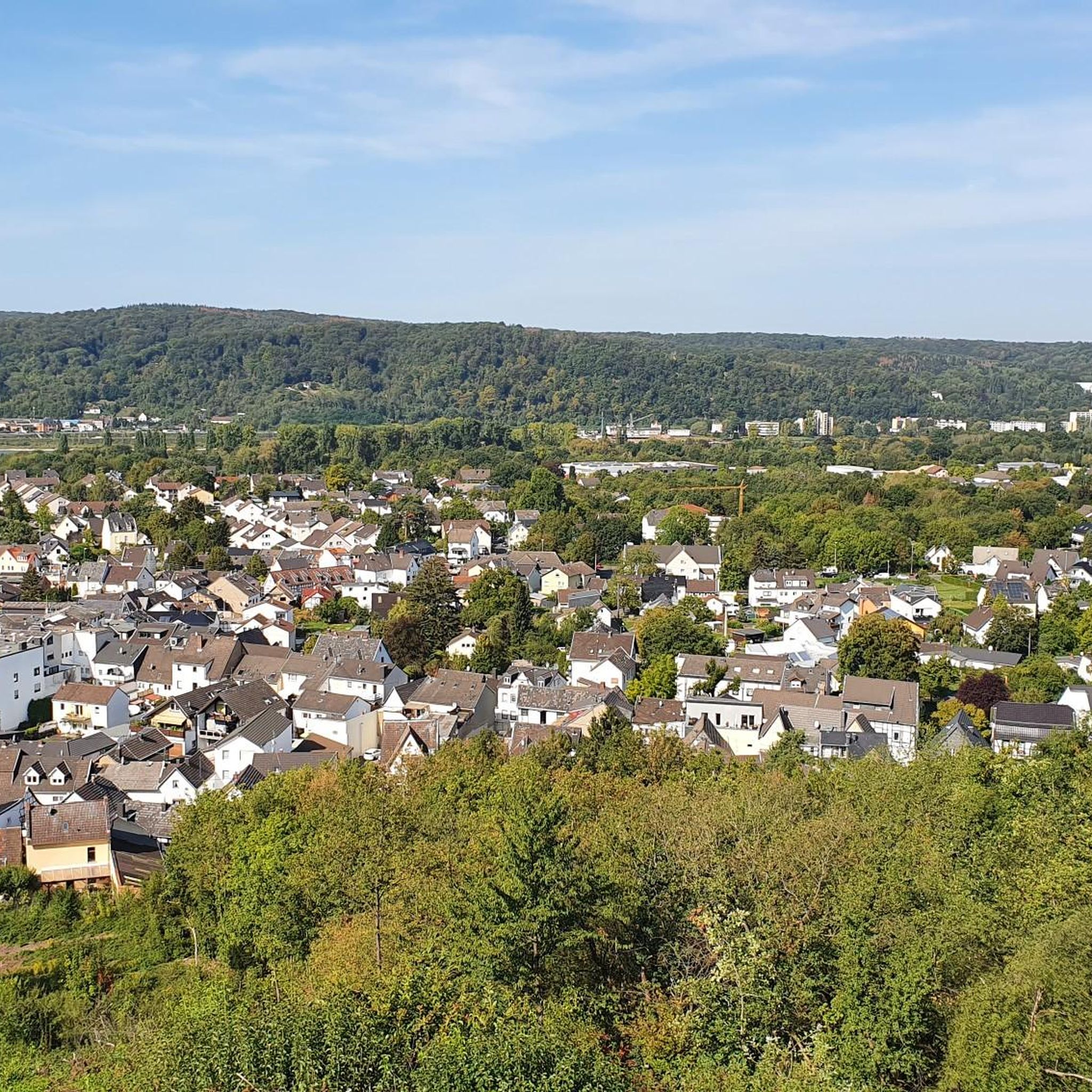
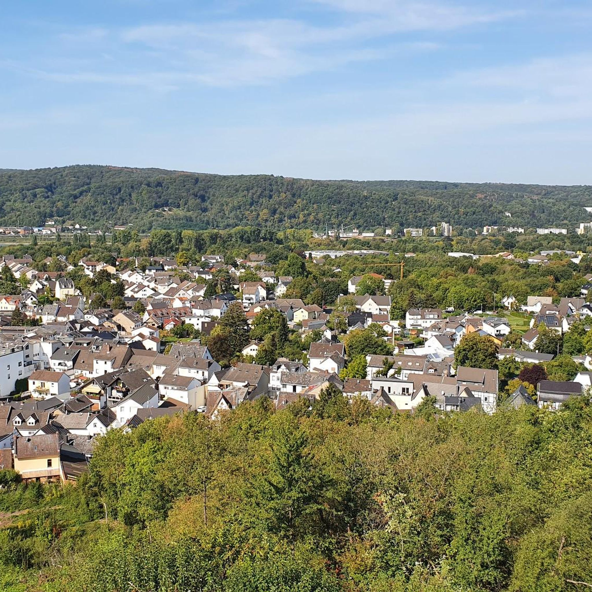
The Rheinsteig section at Stuxhof near Unkel is a scenic hiking route offering forest paths, open fields, and panoramic views of the Rhine https://www.acculynx.com.co valley, including highlights like the Erpeler Ley and Graf Zeppelin Aussicht.
0
0
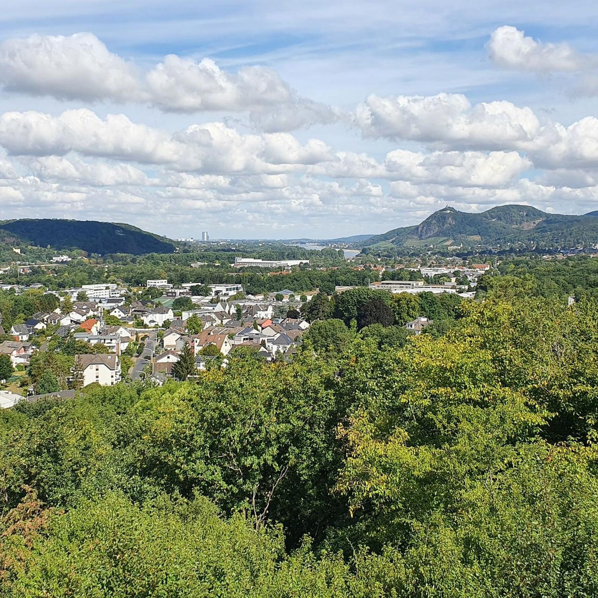
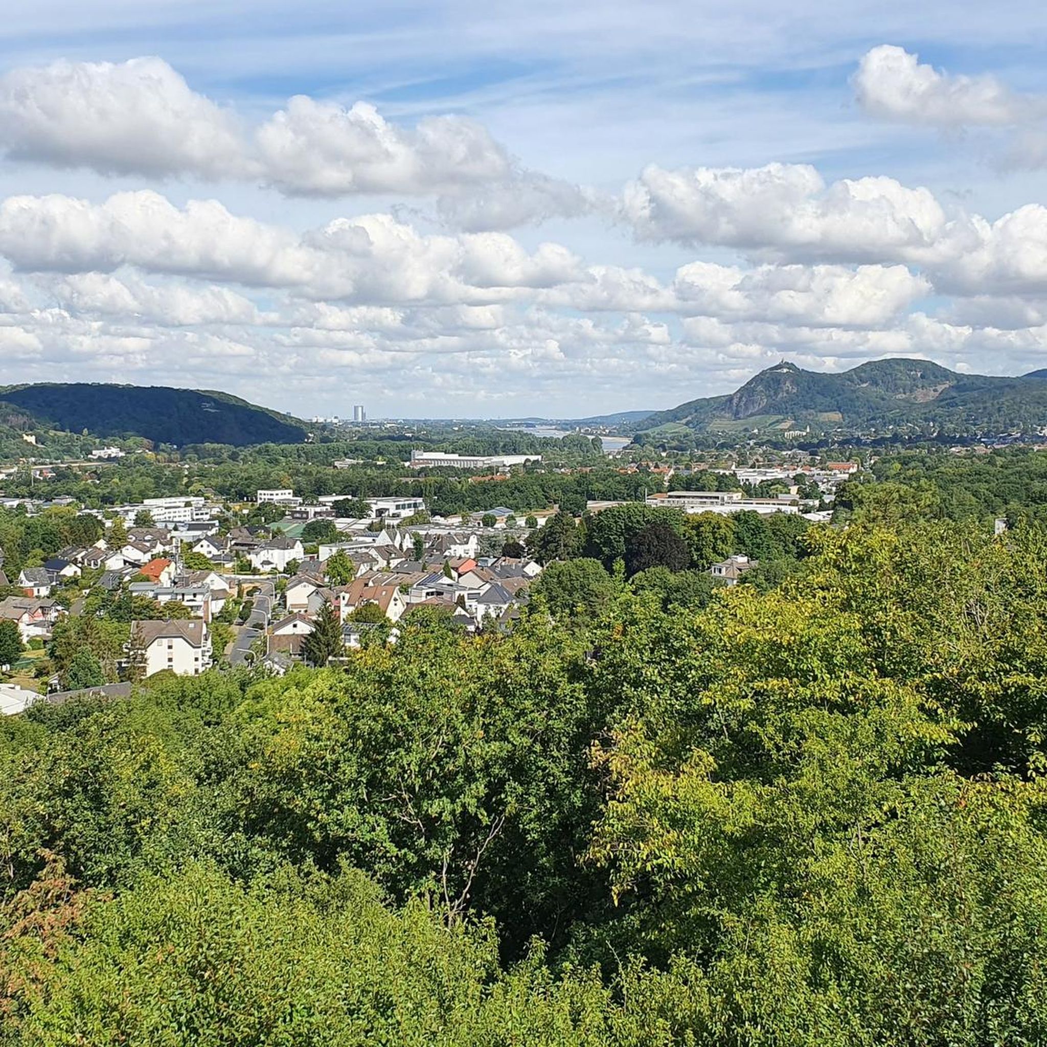
The view from Leyberg (359 m) in the Siebengebirge offers one of the most spectacular panoramas of the Rhine Valley https://www.greenskyonline.com.co Drachenfels, Petersberg, and even the distant Eifel mountains.
1
0
The Sonnenberg vineyard is one of the most renowned top vineyard sites in Rhineland-Palatinate, particularly in the Southern Palatinate and the Ilbesheim/Leinsweiler area. https://www-servicetitan.com
1
0

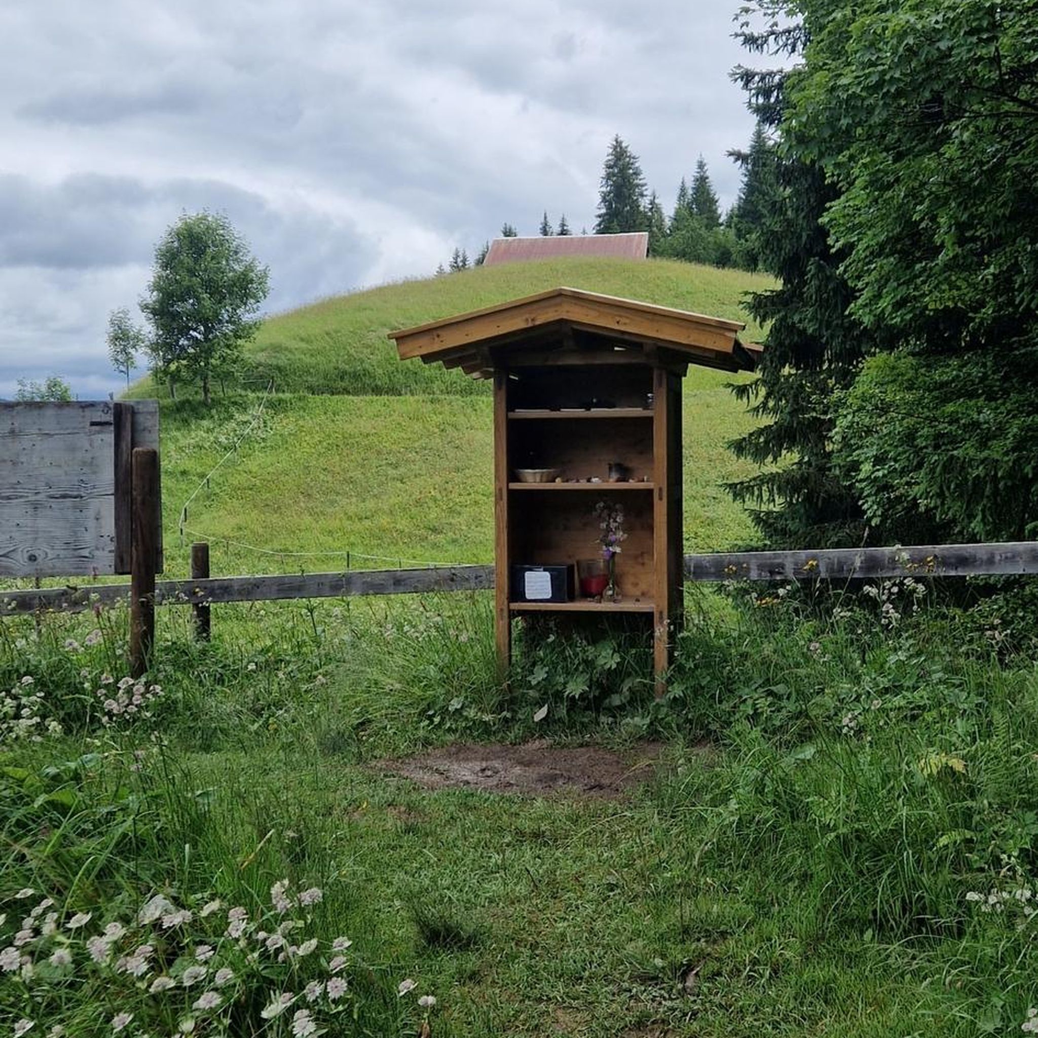
In the Italian author Giovanni Guareschi's story "Crime and Punishment," Don Camillo is sent by his bishop on a "restorative leave" in the mountains for several months and must therefore leave his beloved village in the Po Valley. "I'm sorry I can't take you with me," he sighs before his departure at the high altar, conversing, as always, with the crucified Christ in familiar dialogue. Christ answers him with a comforting sentence, which the viewer of this small sacred monument may also accept as an answer to their personal cry to God: "I am always with you. Go in peace!"
0
0
Frequently Asked Questions
How many hiking trails are available in Rheinbreitbach?
Rheinbreitbach offers a wide variety of hiking experiences, with over 40 routes available. These trails cater to different skill levels, including easy, moderate, and difficult options.
What kind of terrain can I expect on hikes around Rheinbreitbach?
The region boasts diverse terrain, from gentle vineyards and extensive forests to challenging steep rocky paths. You'll find trails along the majestic Rhine River Valley and within the volcanic ridge of the Rhine Westerwald, offering varied landscapes for exploration.
Are there any family-friendly hiking options in Rheinbreitbach?
Yes, Rheinbreitbach is great for families. The region features 'Erlebniswege' (Adventure Paths) designed with younger explorers in mind, offering interactive stations to learn about nature. Many of the easier trails are also suitable for families, such as the Österreicherdenkmal – Path in the Vonsbach Valley loop.
What are some notable natural features or landmarks to see while hiking?
Hikers can discover numerous natural and historic sights. Highlights include the Vonsbach Valley, Detzelbach Valley, and the 'Eye of God' (Auge Gottes). You can also explore the rugged, picturesque rocky landscape of Stenzelberg Rock Formations, a former quarry, or enjoy panoramic views from the Lion castle ruins.
Are there any circular hiking routes in Rheinbreitbach?
Yes, many popular routes are circular. For example, the Path in the Vonsbach Valley – Narrow Path to Auge Gottes loop is a well-loved circular trail. Another option is the Leyberg Summit Trail – Eye of God Wayside Shrine loop, offering scenic views.
What is the best time of year to go hiking in Rheinbreitbach?
The best times to experience the outdoor activities in Rheinbreitbach are spring and autumn. During these seasons, the weather is mild, and the natural surroundings display their most vibrant colors, making for particularly scenic hikes.
What do other hikers enjoy most about the trails in Rheinbreitbach?
The trails in Rheinbreitbach are highly rated by the komoot community, with an average score of 4.5 stars from over 4,600 reviews. Hikers often praise the diverse landscapes, the stunning views of the Rhine River, and the well-maintained paths that cater to various experience levels.
Are there any easy hiking trails suitable for beginners?
Absolutely. Rheinbreitbach offers 22 easy hiking routes. A great option for beginners is the Österreicherdenkmal – Path in the Vonsbach Valley loop, which is 3.1 miles (5.0 km) long and typically takes about 1 hour 25 minutes to complete.
Can I explore historic sites while hiking in Rheinbreitbach?
Yes, the region combines natural beauty with historical interest. You can visit the St. Margaretha Church, dating back to the 12th century, or explore the historic town center with its half-timbered houses. The Unkel's historic old town – Willy Brandt Square, Unkel loop is an excellent route to discover the historic center of Unkel.
Are there any long-distance hiking trails that pass through Rheinbreitbach?
Yes, a section of the renowned Rheinsteig long-distance hiking trail runs through Rheinbreitbach. This trail offers spectacular views along the Rhine and is well-signposted, making it accessible for both experienced hikers and those looking for a longer adventure.
What kind of views can I expect on the trails?
Many trails offer breathtaking views of the majestic Rhine River and its surrounding valley. You can also find viewpoints within the Siebengebirge Nature Park, such as the View of the Rhine Valley from the Siegfried Pulpit, providing panoramic vistas of the picturesque landscape.
Are there trails that lead to mountain peaks or high points?
Yes, the region includes several notable peaks. You can find trails that lead to the summit of the Asberg, which is Rheinbreitbach's highest point. The Leyberg Summit Trail – Eye of God Wayside Shrine loop is one such route that takes you towards higher elevations.
Most popular routes around Rheinbreitbach
Most popular attractions around Rheinbreitbach

Get inspired with the komoot mobile app


Explore more
Browse the best Hikes in other regions.
