The best walks and hikes around Chiusa Di Pesio
4.5
(959)
4,901
hikers
132
hikes
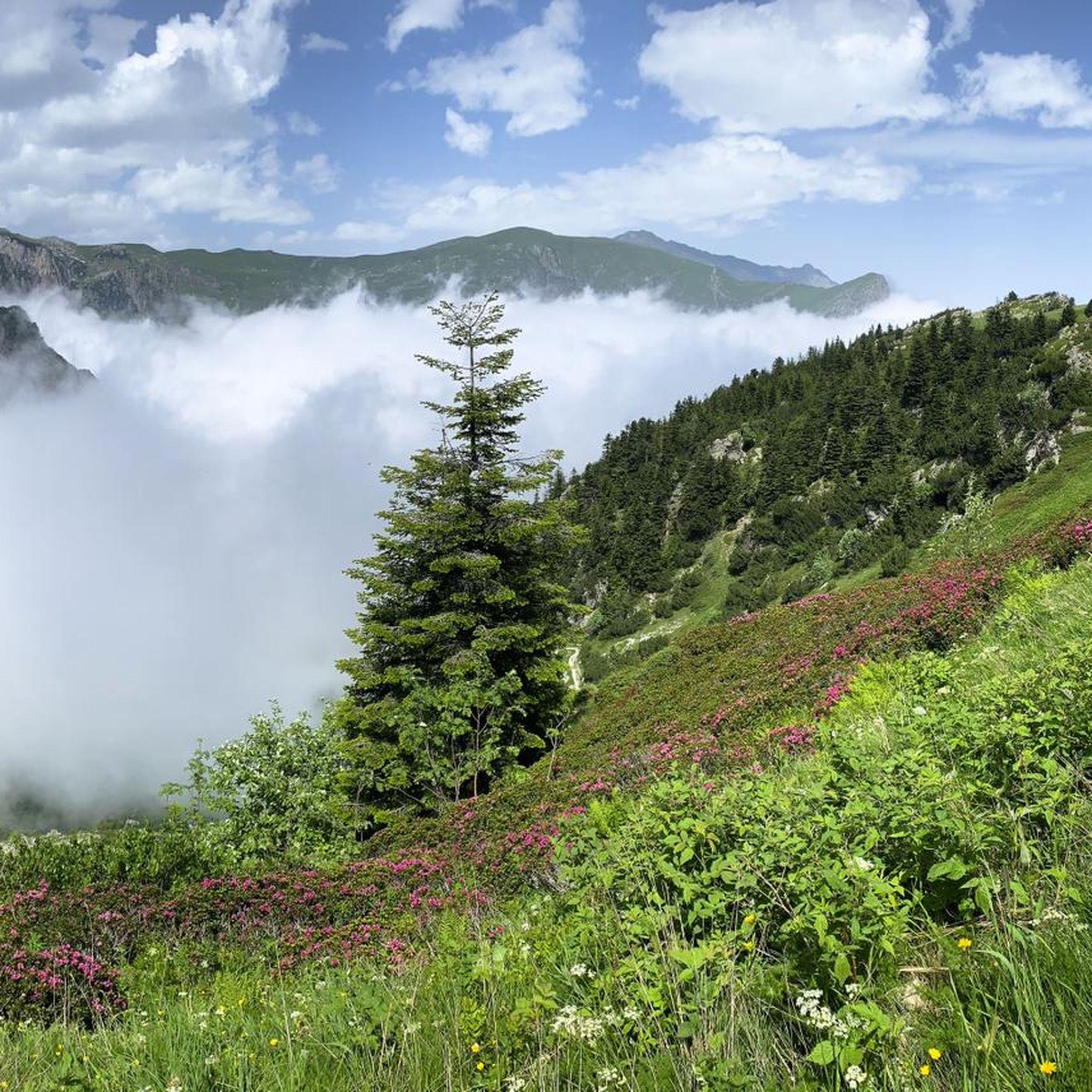
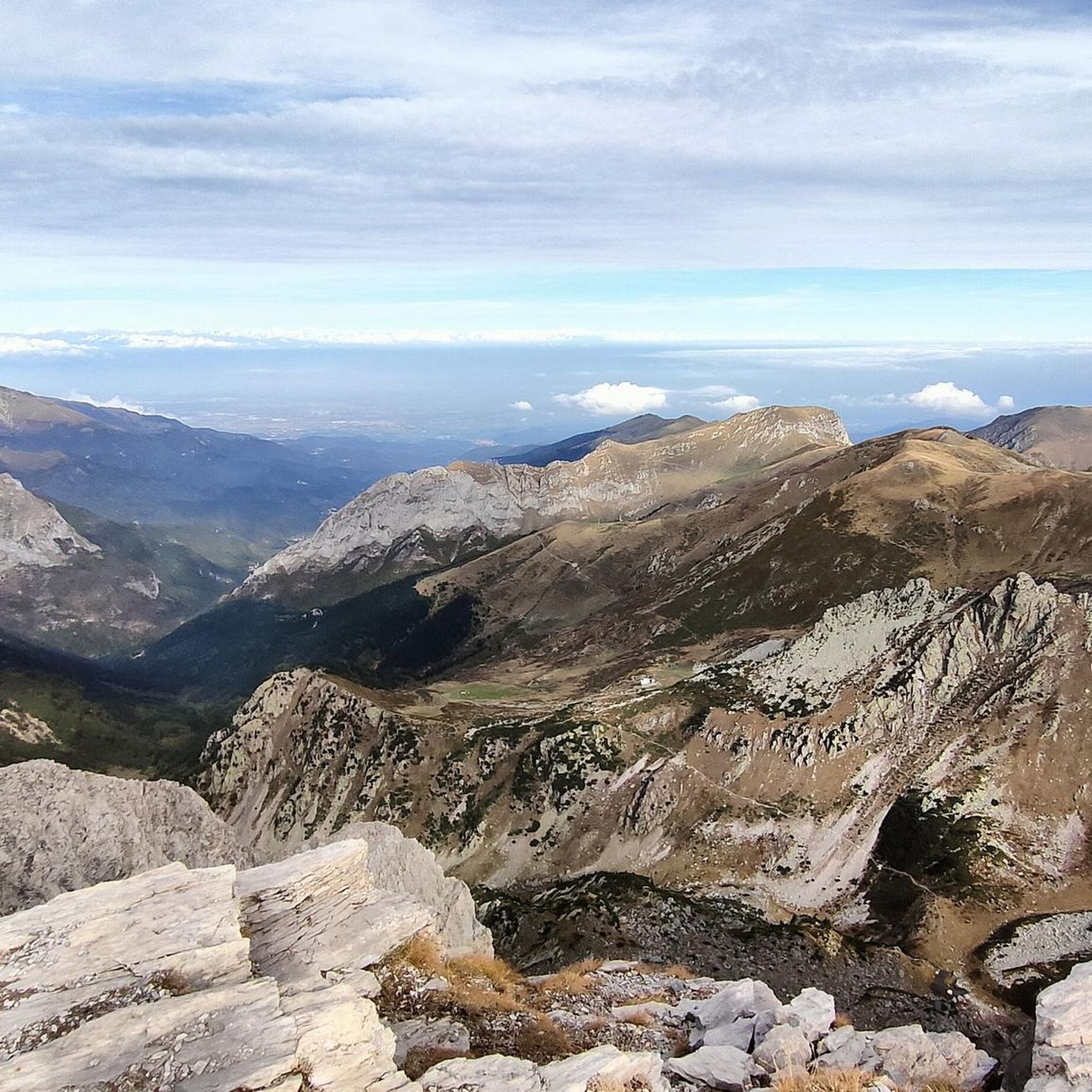
Hiking around Chiusa Di Pesio offers diverse landscapes at the foot of the Marguareis massif, the highest peak in the Ligurian Alps. The region features the Pesio Valley, characterized by chestnut, fir, and beech forests, alongside significant karstic systems. Waterfalls, particularly in spring, are formed by the Pesio stream, which originates from the Pis del Pesio. This area provides a variety of trails suitable for different skill levels.
Best hiking trails around Chiusa Di Pesio
- The most popular hiking route is From Pian delle Gorre Refuge to the waterfalls — Ring tour, a moderate 4.9 miles (7.9 km) trail that takes 2 hours 54 minutes to complete. This route offers views of the waterfalls within the Marguareis Natural Park.
- Another top favourite among local hikers is Rifugio Garelli Loop Trail, a difficult 8.1 miles (13.0 km) path. This loop trail provides a challenging experience with significant elevation gain.
- Local hikers also love the Marguareis Natural Park Trail to Rifugio Garelli, a 5.6 miles (9.1 km) trail leading through the Marguareis Natural Park, often completed in about 4 hours 42 minutes.
- Hiking around Chiusa Di Pesio is defined by alpine scenery, dense forests, karstic systems, and waterfalls. The network offers options for easy walks along the Pesio River as well as more challenging routes into the Marguareis massif.
- The routes in Chiusa Di Pesio are highly rated by the komoot community with an average score of 4.5 stars from over 700 reviews. More than 4000 hikers have used komoot to explore Chiusa Di Pesio's varied terrain.
Last updated: October 13, 2026
4.7
(190)
640
hikers
7.95km
02:55
400m
400m
Moderate hike. Good fitness required. Mostly accessible paths. Sure-footedness required.
4.8
(16)
84
hikers
13.0km
05:51
970m
970m
Hard hike. Very good fitness required. Mostly accessible paths. Sure-footedness required.

4.7
(27)
83
hikers
9.07km
04:43
790m
780m
Moderate hike. Good fitness required. Mostly accessible paths. Sure-footedness required.
4.7
(15)
63
hikers
10.8km
04:59
870m
870m
Moderate hike. Good fitness required. Mostly accessible paths. Sure-footedness required.
5.0
(1)
4
hikers
5.16km
01:29
120m
120m
Easy hike. Great for any fitness level. Easily-accessible paths. Suitable for all skill levels.
Get access to more routes and recommendations from other explorers.
Already have an account?
Our route recommendations are based on thousands of hikes, rides, and runs completed by other people on komoot.
Start today with a free account
Your next adventure awaits.
Popular around Chiusa Di Pesio

GTA South Piedmont — Hiking in Italy's Occitan valleys
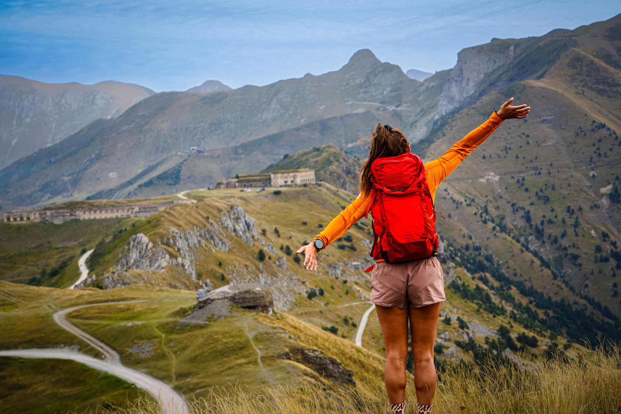
RivierALP – great hikes between the Alps and the Mediterranean
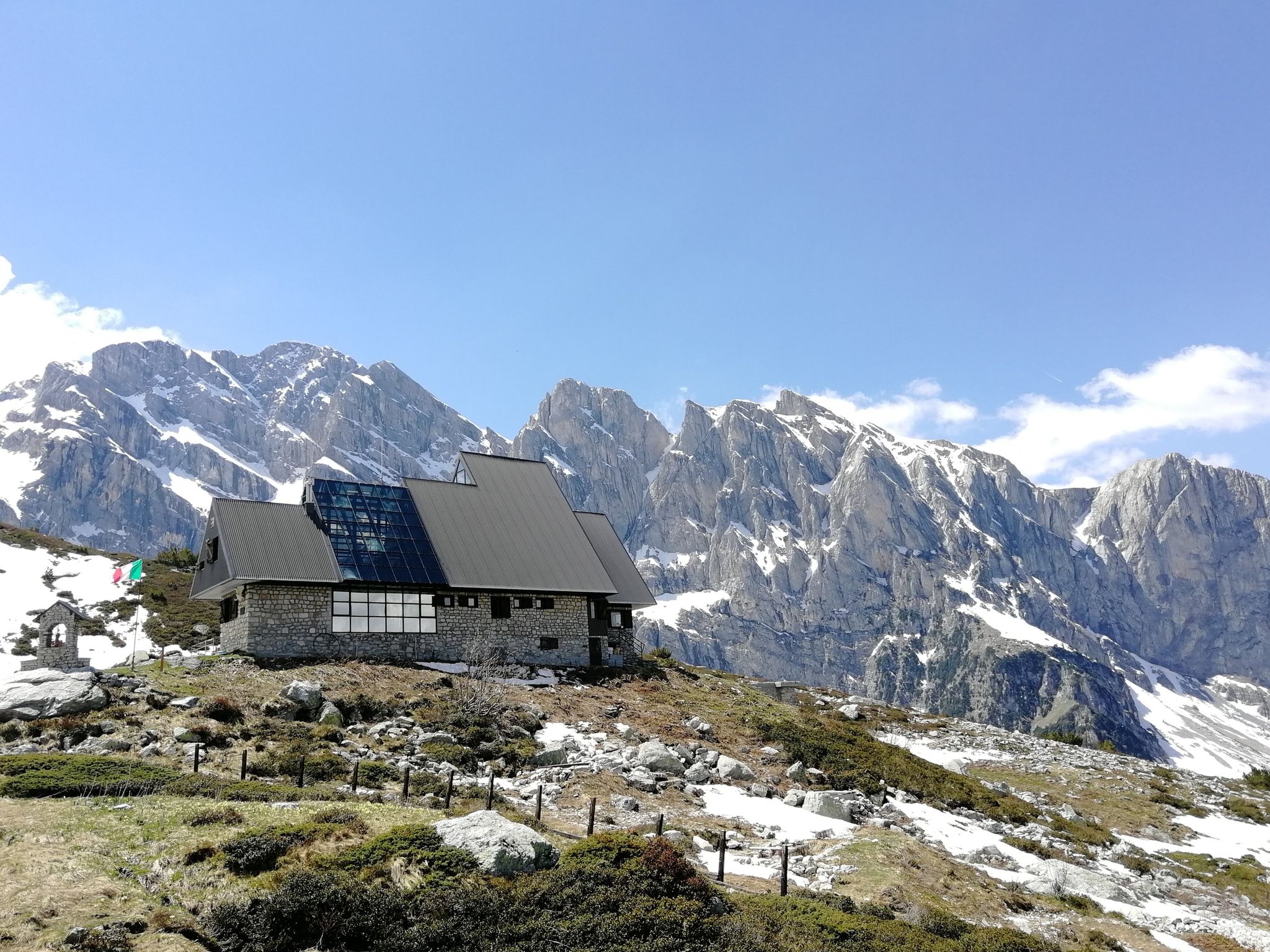
Marguareis Tour – discover caves, ravines and karstic rocks in Italy
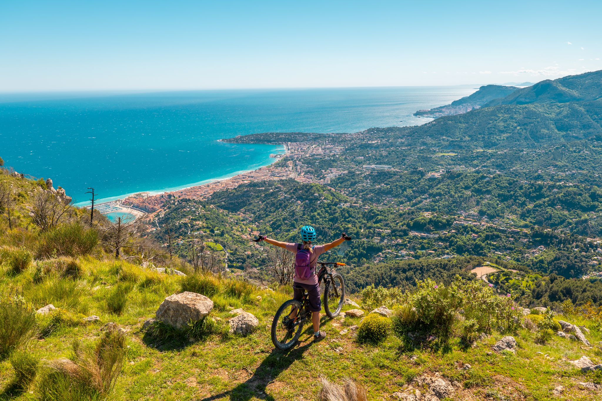
RivierALP – MTB routes from alpine passes to the Riviera
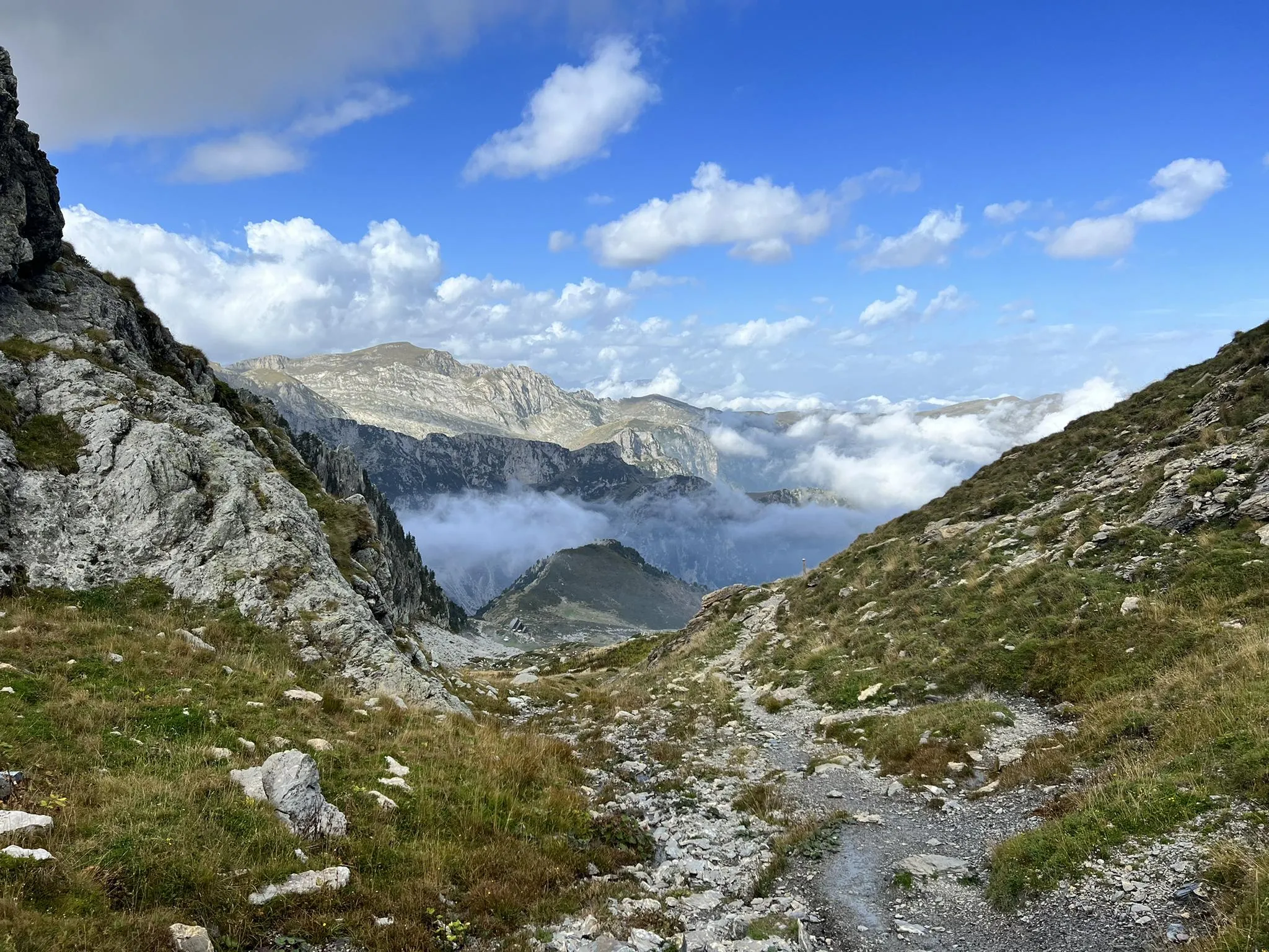
Explore the highest peak in Italy's Ligurian Alps – Giro del Marguareis
MTB Trails around Chiusa Di Pesio
Running Trails around Chiusa Di Pesio
Cycling around Chiusa Di Pesio
Road Cycling Routes around Chiusa Di Pesio

Gravel biking around Chiusa Di Pesio
Other adventures around Chiusa Di Pesio


Tips from the Community

Located at 1,928 meters above sea level in the heart of the homonymous Natural Park, this small alpine body of water lies in a picturesque grassy hollow right at the foot and start of the famous Torinesi and Genovesi canals. Next to the lake is the Rifugio Garelli with the adjacent botanical station "Danilo Re". Being a protected area with a very high biodiversity value, it is the ideal place to stop and observe up close the rich flora typical of the park and, with a bit of attention, spot the chamois and marmots that inhabit the area.
0
0

Waterfall easily reachable from the homonymous locality Gias Fontana, which is located three quarters of an hour from Pian delle Gorre
0
0

Beautiful place, especially in winter it takes on an almost magical appearance.
0
0


very busy refuge as you can get there by car (as long as there is space, then they close the road). Also it is the starting point for many hikes.
1
0

Be careful that the surface is always damp and slippery
0
0

The Piero Garelli refuge is a characteristic Alpine structure with a beautiful botanical garden next to it. The view is excellent and wide open. It's easy to get there and is a great starting point for lunch or to explore the Marguareis park. For the most part, the terrain in this area presents no difficulty for running.
1
0

Frequently Asked Questions
How many hiking trails are available in Chiusa Di Pesio?
Chiusa Di Pesio offers a wide variety of hiking opportunities, with over 100 trails to explore. These routes cater to all skill levels, from easy walks along the Pesio River to more challenging ascents into the Marguareis massif.
Are there any easy hiking trails suitable for beginners or families?
Yes, Chiusa Di Pesio has numerous easy trails perfect for beginners and families. For a gentle experience, consider Walking along the Pesio River, which offers a pleasant stroll through the valley. The region features 26 easy routes, many of which are suitable for all ages.
Where can I find trails with waterfalls in Chiusa Di Pesio?
The Pesio Valley is known for its spectacular waterfalls, especially in springtime when the Pesio stream is fed by melting snow. A popular route to experience these is From Pian delle Gorre Refuge to the waterfalls — Ring tour, which takes you directly to the waterfalls within the Marguareis Natural Park.
Are there any circular hiking routes in the area?
Yes, circular routes are available, allowing you to start and end your hike at the same point. The From Pian delle Gorre Refuge to the waterfalls — Ring tour is a moderate circular option, and for a more challenging experience, the Rifugio Garelli Loop Trail provides a difficult circular path with significant elevation gain.
What kind of natural landmarks or points of interest can I explore while hiking?
Chiusa Di Pesio is rich in natural beauty and historical sites. You can explore the stunning karstic systems of the Marguareis massif, the diverse ecosystems of the Pesio Valley with its ancient chestnut, fir, and beech forests, and the impressive waterfalls. The historic Charterhouse of Pesio is also a notable landmark, accessible via trails like the Sentiero Naturalistico Pian delle Gorre - Certosa di Pesio. Additionally, you can find beautiful lakes such as Lake Terrasole and Lago della Brignola nearby.
Is Chiusa Di Pesio a good destination for winter hiking?
Yes, Chiusa Di Pesio is an excellent destination for winter hiking. Many trails can be enjoyed with snowshoes, offering a unique perspective of the snowy landscapes. Ski mountaineering is also popular in the upper Pesio Valley, and the Marguareis Sports Center in San Bartolomeo provides cross-country skiing itineraries.
Can I bring my dog on the hiking trails in Chiusa Di Pesio?
Many trails in Chiusa Di Pesio are dog-friendly, allowing you to enjoy the natural beauty with your canine companion. However, it's always recommended to keep dogs on a leash, especially within the Natural Park of Marguareis, to protect wildlife and ensure a pleasant experience for all hikers.
What are the options for public transport to reach trailheads in Chiusa Di Pesio?
While specific public transport routes directly to all trailheads can be limited, Chiusa Di Pesio is generally accessible by public transport to the town itself. From there, local services or a short taxi ride might be necessary to reach more remote starting points for hikes. It's advisable to check local bus schedules for the Cuneo province for the most up-to-date information.
Where can I find parking for hiking trails in Chiusa Di Pesio?
Parking is generally available at popular starting points for hikes, such as Pian delle Gorre, which serves as a gateway to many trails within the Marguareis Natural Park. Other trailheads and refuges often have designated parking areas. It's recommended to arrive early during peak season to secure a spot.
What do other hikers enjoy most about the trails in Chiusa Di Pesio?
The trails in Chiusa Di Pesio are highly rated by the komoot community, with an average score of 4.5 stars from over 700 reviews. Hikers frequently praise the diverse landscapes, from dense forests to alpine scenery, the spectacular waterfalls, and the well-maintained network of trails that cater to various skill levels. The blend of nature and history, particularly around the Certosa di Pesio, is also a highlight.
Are there challenging hikes for experienced hikers in Chiusa Di Pesio?
Absolutely. For experienced hikers, Chiusa Di Pesio offers challenging routes, particularly into the Marguareis massif. The Rifugio Garelli Loop Trail is a difficult 13 km path with significant elevation gain. Other routes like the Gardiola or Bisalta Tour are also recommended for those seeking a more strenuous adventure and require good fitness and alpine experience.
What is the best time of year to go hiking in Chiusa Di Pesio?
The best time for hiking in Chiusa Di Pesio is typically from late spring to early autumn (May to October). During spring, you can witness the spectacular waterfalls at their fullest. Summer offers pleasant temperatures for higher altitude trails, while autumn provides beautiful foliage. Winter is also suitable for snowshoeing and ski mountaineering for those equipped for snowy conditions.
Most popular routes around Chiusa Di Pesio
Most popular attractions around Chiusa Di Pesio

Get inspired with the komoot mobile app


Explore more
Browse the best Hikes in other regions.
