The best road cycling routes around Pamparato
4.9
(38)
825
riders
51
rides
Road cycling around Pamparato offers diverse landscapes and challenging routes, primarily on paved surfaces. The region is characterized by mountainous terrain with significant elevation gains, featuring rivers like the Corsaglia and extensive wooded areas. Cyclists can expect varied topography, from valley floors to high passes, providing a range of experiences for different fitness levels.
Best road cycling routes around Pamparato
- The most popular road cycling route is Corsagliola Climb – Spectacular views loop from Montaldo di Mondovì, a 39.3…
Last updated: June 29, 2026
5.0
(1)
36
riders
44.7km
02:00
470m
470m
Moderate road ride. Good fitness required. Mostly well-paved surfaces and easy to ride.
5.0
(1)
36
riders
43.7km
01:58
460m
460m
Moderate road ride. Good fitness required. Mostly well-paved surfaces and easy to ride.

Sign up for free
36
riders
65.3km
03:28
1,230m
1,230m
Hard road ride. Very good fitness required. Mostly well-paved surfaces and easy to ride.
19
riders
43.1km
02:20
870m
870m
Moderate road ride. Good fitness required. Mostly well-paved surfaces and easy to ride.
12
riders
45.2km
02:57
1,410m
1,410m
Hard road ride. Very good fitness required. Mostly well-paved surfaces and easy to ride.
Get access to more routes and recommendations from other explorers.
Sign up for free
Already have an account?
Our route recommendations are based on thousands of hikes, rides, and runs completed by other people on komoot.
Start today with a free account
Your next adventure awaits.
Login or Signup
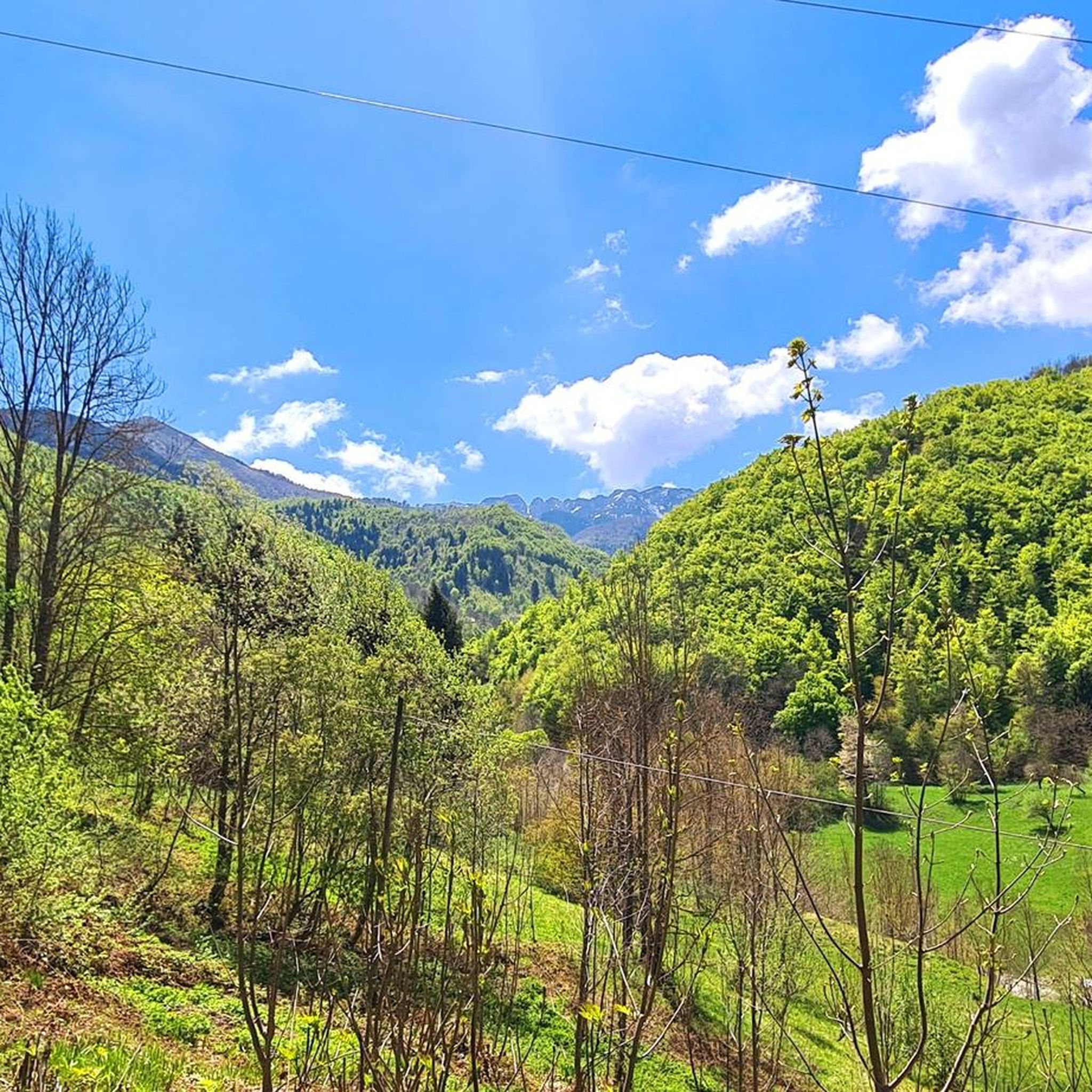
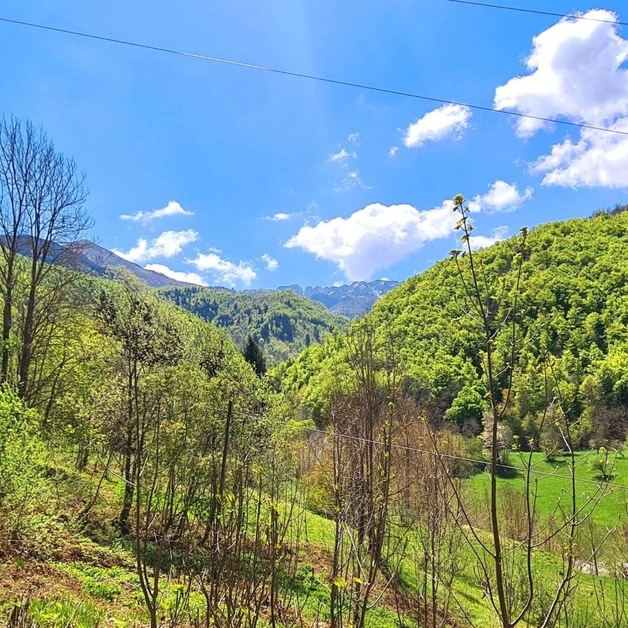
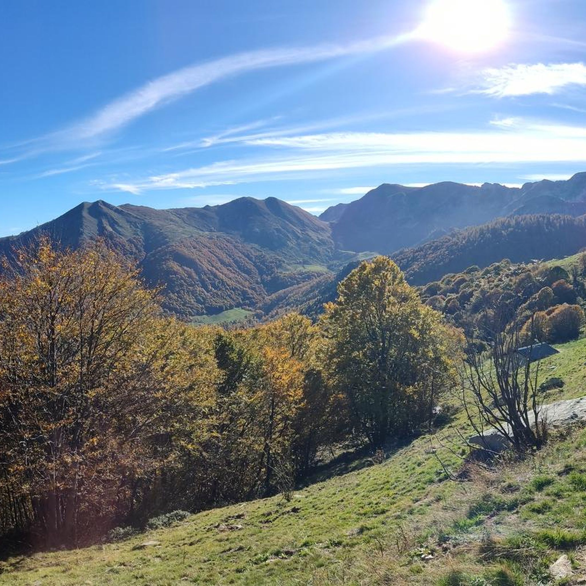
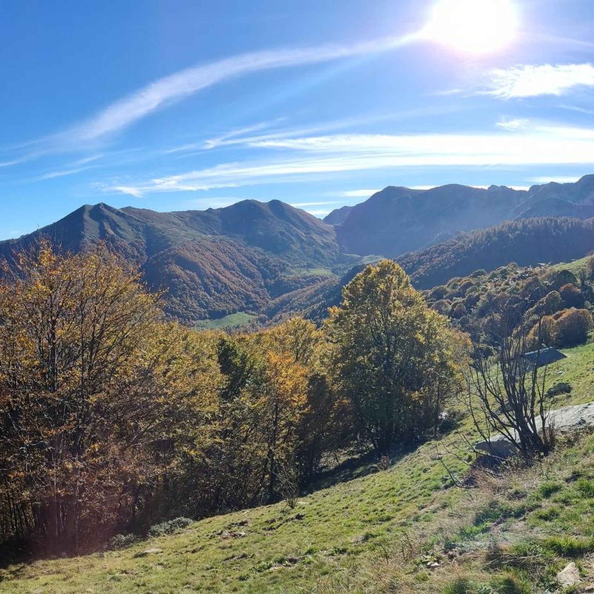
Tips from the Community

not steep, so nice for pushing some watt
0
0

Beautiful descent to do at full speed.
15
0
Nice road away from traffic.
14
0
Alpe Merdenzone is not a specific location but refers to the context of the Alpeggio del Merdenzone, a mountain area and Monte Merdenzone, a 1764 m peak in the Ligurian Alps.
14
0

It was done uphill. The road downhill isn't as nice and clean (as far as the surface is concerned).
0
0

From Prato Nevoso you can get there by descending the Strada della Penna, after a stretch of about 800 meters that goes up with gradients of up to 18%, a wonderful corner that does not seem to be affected by the proximity to the facilities, from which extraordinary views open up over the valley below.
1
0
wonderful fraction perched on the hill
0
0
The first stretch is harder, average 8% for 2.5 km, then the climb becomes easier until San Giacomo. Very beautiful hamlets that you cross, at the roundabout where you turn off for San Giacomo there is also a fountain
2
0
Frequently Asked Questions
How many road cycling routes are available around Pamparato?
There are over 40 road cycling routes around Pamparato, offering a wide range of experiences. These include routes for various fitness levels, from moderate rides to challenging ascents with significant elevation.
What kind of terrain can I expect on road cycling routes in Pamparato?
Pamparato's road cycling routes are characterized by mountainous terrain with significant elevation gains, primarily on paved surfaces. You'll encounter diverse landscapes, including wooded areas, river valleys like the Corsaglia, and high passes, providing varied topography for different ability levels.
Are there road cycling routes suitable for beginners or families in Pamparato?
Yes, Pamparato offers routes suitable for different fitness levels. While many routes feature substantial climbing, there are 17 moderate routes and 2 easier options available. These routes provide a balanced workout through varied terrain with moderate elevation changes, making them more accessible.
Are there challenging road cycling routes for experienced riders in Pamparato?
Absolutely. Pamparato is known for its challenging routes, with 25 difficult options available. For instance, the Corsagliola Climb – Spectacular views loop from Montaldo di Mondovì is a difficult 63.3 km trail with over 1,600 meters of elevation gain, offering substantial climbing and panoramic vistas.
What scenic viewpoints can I find along road cycling routes in Pamparato?
Pamparato's routes offer stunning panoramas. You can enjoy wide vistas from Monte Alpet, and the descent towards Bric Mindino provides breathtaking views of the entire Piedmont plain and the Ligurian coast, with the sea visible on clear days. Mount Antoroto also offers panoramic views where you can simultaneously see the sea of Albenga and the peaks of the Matterhorn and Monte Rosa. Consider routes like the Scenic road – Ascent to Sant'Anna loop from Pamparato for beautiful views.
Are there any historical or cultural landmarks to see while cycling in Pamparato?
Yes, the region is rich in history. You can encounter the ancient Santa Lucia Bridge, of Roman origin, which adds a historical touch. The picturesque Royal Castle of Casotto is located in Val Casotto, and the restored Santuario Madonna delle Grazie from 1867 is another notable attraction. The Vicoforte Sanctuary is also a significant nearby landmark.
Can I find places to rest or refuel along the road cycling routes?
Yes, several refuges and small villages can serve as rest stops or places to refuel. Key points like Rifugio Maddalena, Colla di Casotto (Casotto Pass), and Rifugio Navonera are noted features along routes. The region's small villages are particularly lively during the summer season and often offer local culinary specialties.
What do other road cyclists enjoy the most about road cycling in Pamparato?
The area is highly rated by the komoot community, with an average score of 4.9 stars from over 70 reviews. Reviewers often praise the diverse landscapes, challenging ascents, and the rewarding panoramic views. The variety of routes catering to different fitness levels is also frequently highlighted.
Are there circular road bike routes in Pamparato?
Many of the road cycling routes in Pamparato are designed as loops, allowing you to start and end in the same location. Examples include the Rest area – Workout loop from Lisio and the Rest area – Scenic road loop from Roburent, providing convenient options for exploration.
What is the best season for road biking in Pamparato?
The region is particularly lively during the summer season, suggesting good conditions for cycling. However, due to significant elevation gains, spring and autumn can also offer pleasant temperatures for riding, avoiding the peak heat of summer while still enjoying clear views and accessible routes.
How long do road cycling routes in Pamparato typically take?
Route durations vary significantly based on distance and elevation. You can find shorter rides, like the Scenic road – Ascent to Sant'Anna loop from Corsaglia, which takes around 2 hours 19 minutes for 43.1 km. Longer, more challenging routes, such as the Corsagliola Climb – Spectacular views loop from Montaldo di Mondovì, can take nearly 4 hours to complete.
Most popular attractions around Pamparato

Get inspired with the komoot mobile app


Explore more
Browse the best Road cycling routes in other regions.
