The best road cycling routes around Castiglione Di Garfagnana
4.3
(155)
3,936
riders
80
rides
Road cycling routes around Castiglione Di Garfagnana traverse a landscape defined by the Apuan Alps and the Tuscan-Emilian Apennines. This region features rugged and diverse terrain, including challenging mountain ascents and scenic descents. Roads often alternate between asphalt and picturesque dirt sections, winding through terraced hills, vineyards, and olive groves. The Serchio River valley is a prominent feature, with elevated points offering panoramic views.
Best road cycling routes around Castiglione Di Garfagnana
- The most popular road cycling route is Lago di Vagli, Rifugio Campocatino, Lago di Gramolazzo — Parco delle Alpi Apuane — Ring tour, a 32.4 miles (52.1 km) trail that takes 2 hours 59 minutes to complete. This difficult route offers a scenic loop through the Apuan Alps, passing by several lakes.
- Another top favourite among local road cyclists is San Pellegrino in Alpe and Passo delle Radici Loop, a difficult 29.9 miles (48.1 km) path. This route features challenging climbs to high mountain passes, including gradients up to 18%.
- Local road cyclists also love the From Castelnuovo Garfagnana to Pietra di Bismantova through the Riserva del Monte Cusna – loop tour, a 94.6 miles (152.3 km) trail leading through a nature reserve, often completed in about 9 hours 12 minutes.
- Road cycling around Castiglione Di Garfagnana is defined by dramatic mountain ranges like the Apuan Alps, deep valleys, and terraced hills. The network offers options for different ability levels, from challenging ascents to longer scenic rides.
- The routes in Castiglione Di Garfagnana are highly rated by the komoot community with an average score of 4.1 stars from over 100 reviews. More than 3,000 road cyclists have used komoot to explore Castiglione Di Garfagnana's varied terrain.
Last updated: July 13, 2026
4.1
(11)
209
riders
Hard road ride. Very good fitness required. You may need to push your bike for some segments of this route.
4.8
(4)
189
riders
48.1km
03:17
1,610m
1,610m
This difficult 29.9-mile road cycling loop from Castelnuovo di Garfagnana climbs to San Pellegrino in Alpe with stunning Apennine views.

Sign up for free
20
riders
Hard road ride. Very good fitness required. Mostly well-paved surfaces and easy to ride.
4.3
(3)
366
riders
115km
06:35
2,640m
2,640m
Hard road ride. Very good fitness required. Mostly well-paved surfaces and easy to ride.
4.1
(9)
202
riders
109km
05:16
1,440m
1,440m
Hard road ride. Very good fitness required. Mostly well-paved surfaces and easy to ride.
Get access to more routes and recommendations from other explorers.
Sign up for free
Already have an account?
Our route recommendations are based on thousands of hikes, rides, and runs completed by other people on komoot.
Start today with a free account
Your next adventure awaits.
Login or Signup
Popular around Castiglione Di Garfagnana

Berceto to Abetone – Alta Via dei Parchi (part 1)
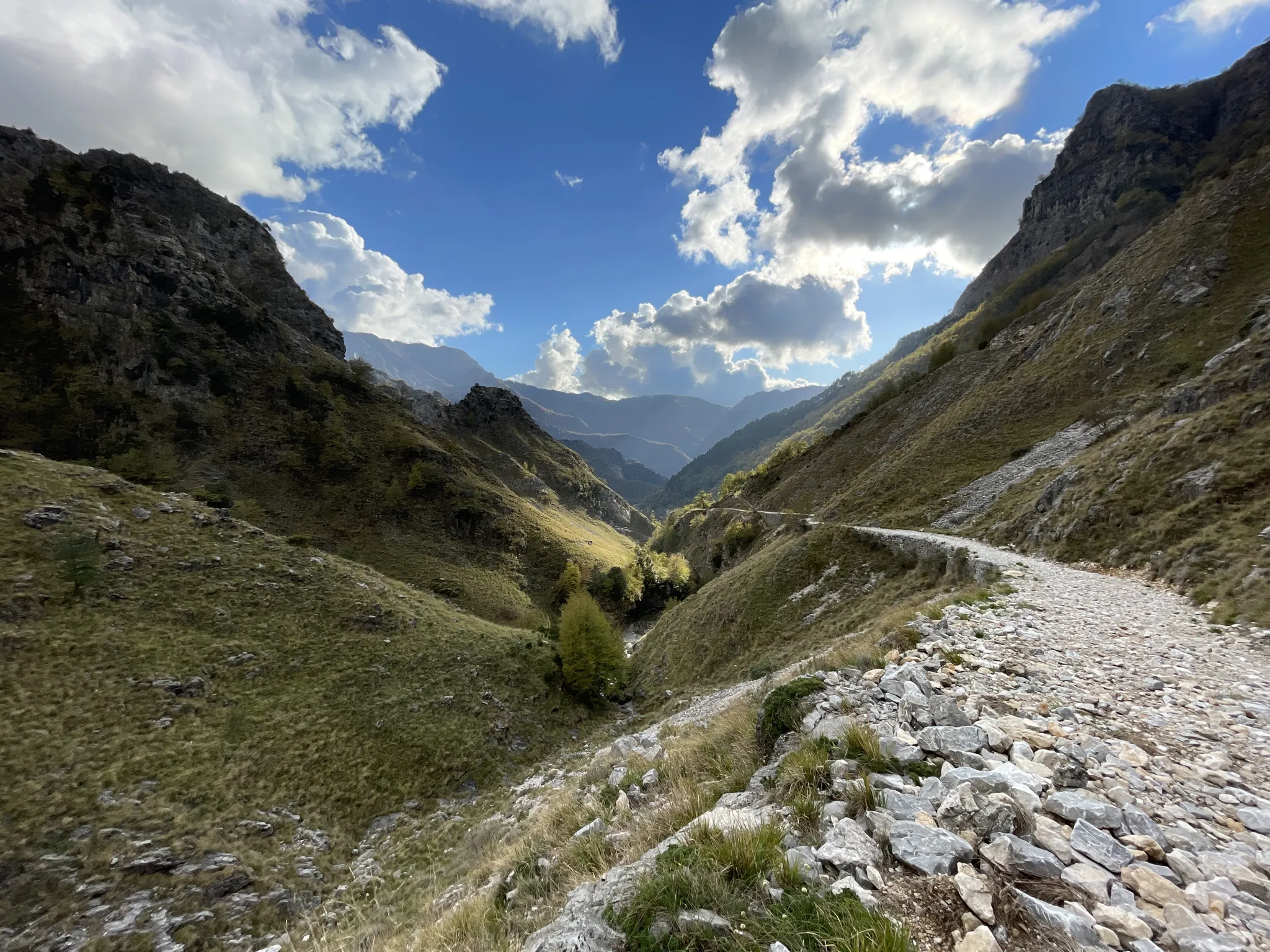
18th-century route from Modena to Massa – Via Vandelli
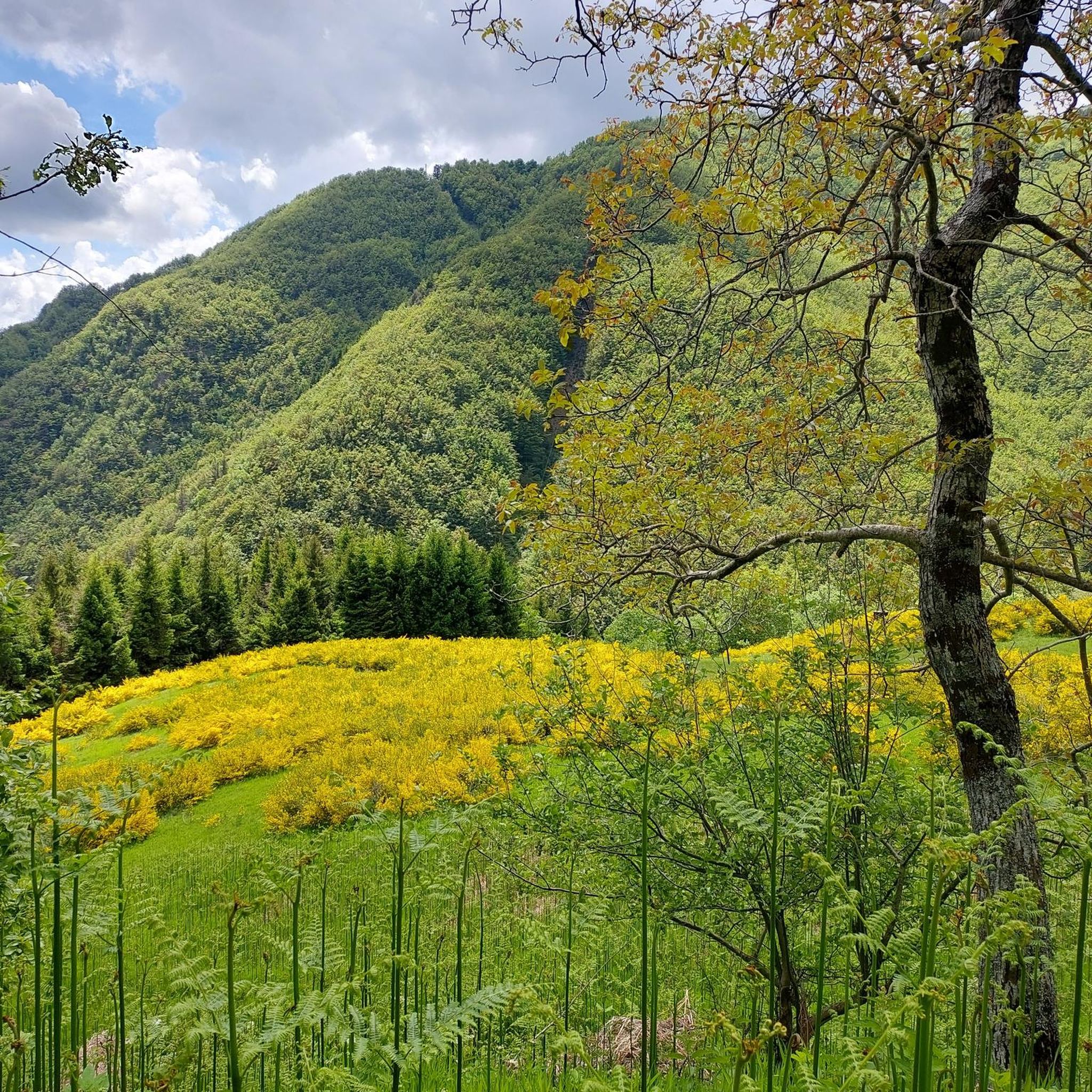
Hiking around Castiglione Di Garfagnana
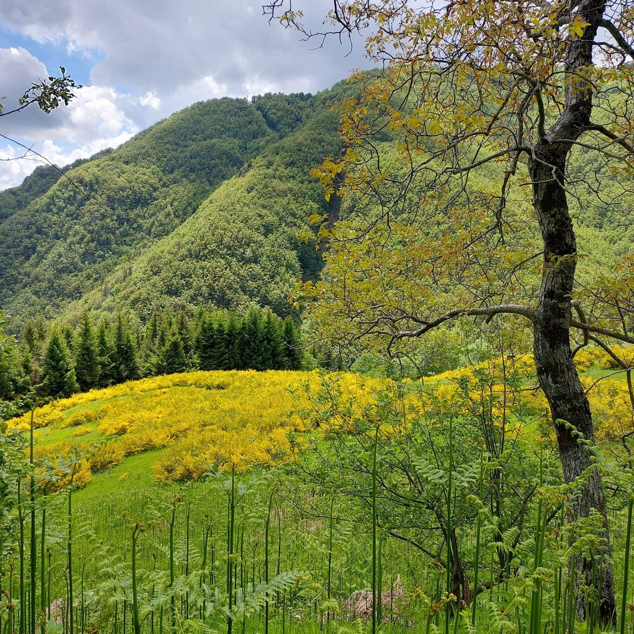
MTB Trails around Castiglione Di Garfagnana

Cycling around Castiglione Di Garfagnana
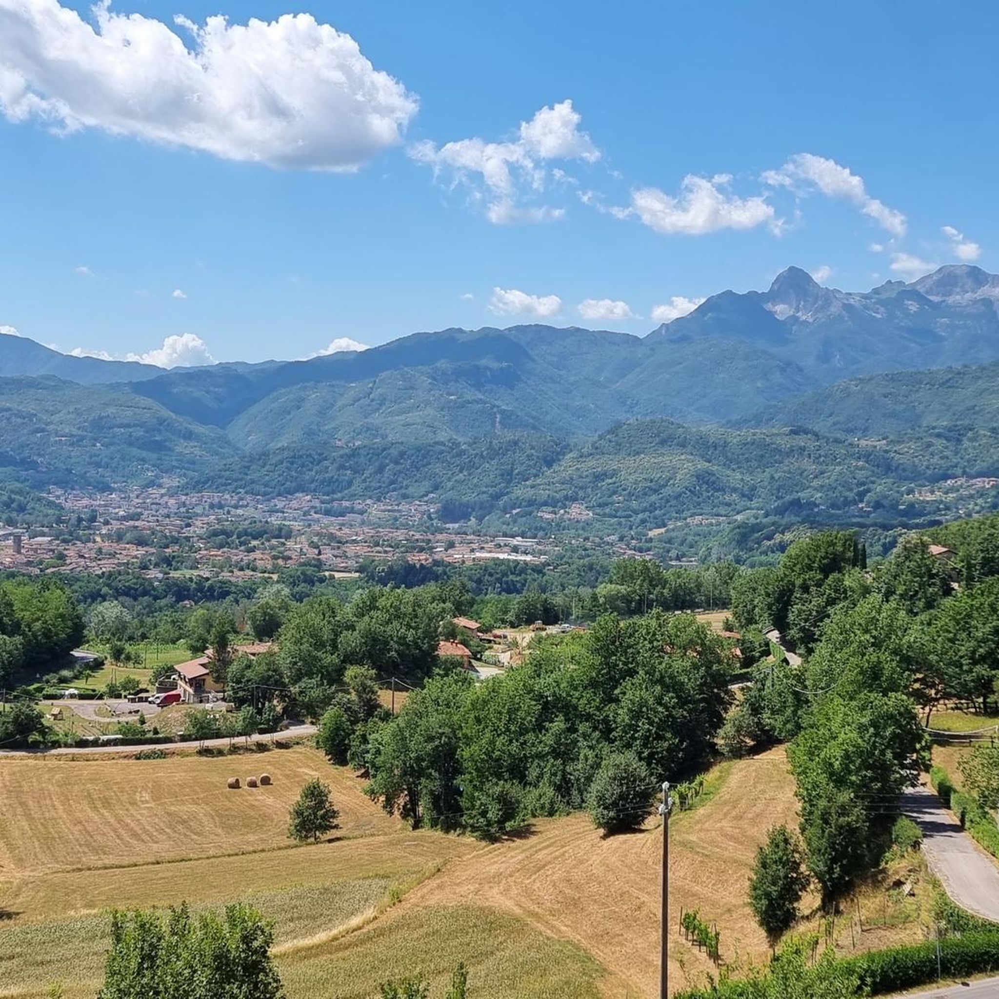
Running Trails around Castiglione Di Garfagnana

Gravel biking around Castiglione Di Garfagnana

Mountain Hikes around Castiglione Di Garfagnana
Other adventures around Castiglione Di Garfagnana


Tips from the Community

The Pietra di Bismantova is an imposing and characteristic sandstone rock massif located in the Reggio Apennines, in the municipality of Castelnovo ne' Monti (province of Reggio Emilia). It reaches an altitude of 1,047 meters above sea level and is famous for its unmistakable hoof or "isolated ship" shape that dominates the surrounding landscape. This majestic calcarenite monolith is protected within the Tuscan-Emilian Apennine National Park and is even mentioned by Dante Alighieri in the IV canto of Purgatory
0
0

great view with more time to visit the town too
0
0
Pietra di Bismantova is an extraordinary and imposing rocky monolith located in the municipality of Castelnovo ne' Monti, in the heart of the Reggio Apennines. Set within the splendid context of the Tuscan-Emilian Apennine National Park, this unique geological formation stands out for its unmistakable ship-like profile, with vertical walls of calcareous sandstone soaring up to 1041 meters in altitude and culminating in a vast grassy plateau of about 12 hectares. Famous for having inspired Dante Alighieri in the description of Mount Purgatory in the Divine Comedy, it is today one of the most frequented destinations in Emilia-Romagna for hiking, climbing, and spiritual tourism.
0
0

The lake of Gramolazzo is a lake in the Apuan Alps located near the homonymous village in the municipality of Minucciano. Of artificial origin, it was created in the second half of the 1900s, together with the lake of Vagli by SELT Valdarno for the hydroelectric use of the Serchio river and its tributaries. The lake, which has a surface area of one square kilometer and a volume of 3.8 million cubic meters, has both the Serchio di Gramolazzo as its inflow and outflow, one of the two branches that, joining near Piazza al Serchio, form the Tuscan river. Another important stream that flows into the lake is the Acqua Bianca stream, which coming from Mount Pisanino crosses the village of Gorfigliano. A large part of the water, however, is fed through a channel on the left bank, near the dam, which with a maximum flow rate of 20 cubic meters per second discharges the waters captured from the Serchio into the Sillano valley. The waters of the lake of Gramolazzo feed the Fabbriche power plant which in turn discharges them into the lake of Vagli.
0
0
The Oasis of Campocatino is a mountain locality in the Apuan Alps, in the municipality of Vagli di Sotto, located at 1000 m above sea level, beneath the imposing wall of Monte Roccandagia. It includes a large basin of glacial origin, a testament to the extent of Quaternary glaciation in the Apennine area. Inside, we find the typical pastoral buildings called "caselli," which have been preserved with their ancient construction characteristics. Since 1991, it has become a "LIPU Natural Oasis." The coexistence of different environments and the natural integrity of the area have allowed the acclimatization of various bird species that reproduce there. Along the rocky walls, the Alpine chough and the Wallcreeper nest; in the high-altitude meadows and pastures, the Skylark, the Rufous-tailed Rock Thrush, the Wheatear, and the Greater Short-toed Lark are observed, while the woods below are populated by the Blackcap, the Goldfinch, the Chaffinch, the Brambling, the Firecrest, the Dartford Warbler, the Robin, the Eurasian Nuthatch, the Song Thrush, the Mistle Thrush, the Wren, and four species of tits: Great Tit, Blue Tit, Coal Tit, and Marsh Tit. Biodiversity is also present among the birds of prey that inhabit the area: the Tawny Owl, the Kestrel, the Eagle Owl, the Common Buzzard, the Sparrowhawk, and sometimes the Eagle soars over the area in search of prey. A little curiosity: in 1998 Campocatino was the film set for the movie "il mio west" directed by Giovanni Veronesi, starring Leonardo Pieraccioni, Harvey Keitel, David Bowie, and Alessia Marcuzzi. In memory of David Bowie's presence, a statue has been placed near the stone houses to commemorate his time there.
0
0
La Pietra di Bismantova is an imposing and characteristic sandstone rock massif located in the Apennines of Reggio Emilia, in the municipality of Castelnovo ne' Monti (province of Reggio Emilia). It reaches an altitude of 1,047 meters above sea level and is famous for its unmistakable hoof or "isolated ship" shape that dominates the surrounding landscape. This majestic calcarenite monolith is protected within the Tuscan-Emilian Apennine National Park and is even mentioned by Dante Alighieri in the IV canto of Purgatory.
0
0

From whichever side, a very beautiful, lonely ascent or descent. However, it is quite neglected due to the abandoned hotel ruin, at least as of May 2026.
1
0

panoramic point
0
0
Frequently Asked Questions
How many road cycling routes are available around Castiglione Di Garfagnana?
There are over 80 road cycling routes around Castiglione Di Garfagnana, offering a wide range of options for different skill levels and preferences.
What kind of terrain can I expect on road cycling routes in Castiglione Di Garfagnana?
The region features rugged and diverse terrain, with routes often alternating between well-paved asphalt and picturesque dirt sections. You'll encounter challenging mountain ascents, scenic descents, and winding roads through terraced hills, vineyards, and olive groves. The dramatic Apuan Alps and Tuscan-Emilian Apennines provide stunning backdrops and significant elevation changes.
Are there challenging climbs for experienced road cyclists?
Yes, Castiglione Di Garfagnana is known for its challenging climbs. Routes like the San Pellegrino in Alpe and Passo delle Radici Loop feature gradients as steep as 18%, providing a rigorous test for experienced riders. Another demanding option is the Radici Pass – Abetone Pass loop from Castelnuovo Garfagnana, which covers 115km with 2,640m of climbing.
What natural features can I see along the road cycling routes?
Road cycling routes often pass by serene lakes such as Lago Santo Modenese and Lake Bargetana. You'll also experience panoramic views of the Serchio River valley and the majestic Apuan Alps and Tuscan-Emilian Apennines. Some routes, like the Lago di Vagli, Rifugio Campocatino, Lago di Gramolazzo — Parco delle Alpi Apuane — Ring tour, take you through the Parco delle Alpi Apuane.
Are there any historical landmarks or villages to explore on a road cycling tour?
Absolutely. The region is rich in history. You can cycle through or near Castiglione di Garfagnana itself, a beautifully preserved medieval walled village. The highest inhabited village in the Tuscan-Emilian Apennines, San Pellegrino in Alpe, is also a notable destination with an ancient sanctuary, often included in challenging routes.
What is the best time of year for road cycling in Castiglione Di Garfagnana?
The region offers excellent cycling conditions throughout much of the year. Spring and autumn generally provide pleasant temperatures and vibrant scenery, ideal for longer rides. Summer can be warm, especially in the valleys, but higher elevation routes offer cooler air and stunning mountain views.
Are there any loop routes available for road cyclists?
Yes, many routes are designed as loops, allowing you to start and finish in the same location. Examples include the Lago di Vagli, Rifugio Campocatino, Lago di Gramolazzo — Parco delle Alpi Apuane — Ring tour and the San Pellegrino in Alpe and Passo delle Radici Loop, both offering circular journeys through the diverse landscape.
What do other road cyclists enjoy most about the routes in Castiglione Di Garfagnana?
The area is highly rated by the komoot community, with an average score of 4.1 stars from over 100 reviews. Reviewers often praise the dramatic mountain ranges, the variety of terrain from challenging ascents to scenic descents, and the opportunity to explore deep valleys and terraced hills.
Are there options for family-friendly or beginner road cycling routes?
While many routes in the region are classified as moderate to difficult due to the mountainous terrain, there are options for less experienced riders. E-bike excursions are also available, which can make exploring the villages and natural settings more accessible for families or those seeking a less strenuous ride. For more information on e-bike tours, you can check this resource.
Is public transport available to access road cycling routes in the area?
Castelnuovo Garfagnana, a nearby town, serves as a central hub and offers public transport connections that can be used to access various starting points for cycling routes. It's advisable to check local bus or train schedules for specific route access points.
Where can I find parking for my road bike excursions?
Parking is generally available in Castiglione di Garfagnana and other towns like Castelnuovo Garfagnana, which serve as common starting points for many routes. Specific parking information for individual routes can often be found in the route descriptions on komoot.
Are there any long-distance road cycling trails in the region?
Yes, for those seeking longer rides, routes such as the From Castelnuovo Garfagnana to Pietra di Bismantova through the Riserva del Monte Cusna – loop tour offer a substantial challenge, covering over 150 km and typically taking around 9 hours to complete.
Most popular routes around Castiglione Di Garfagnana
Most popular attractions around Castiglione Di Garfagnana

Get inspired with the komoot mobile app


Explore more
Browse the best Road cycling routes in other regions.
