The best mountain hikes around Beverino
5.0
(11)
67
hikers
4
hikes
Mountaineering routes around Beverino offer access to the rugged, hilly, and mountainous terrain of the Italian Riviera hinterland. The region is characterized by green mountains, terraced vineyards, and a landscape that transitions from coastal cliffs to inland elevations. This area provides challenging treks through diverse natural features, including significant elevation changes, often within the Val di Vara and near the Cinque Terre National Park.
Best mountaineering routes around Beverino
- The most popular mountaineering route is View of Vernazza and the…
Last updated: June 29, 2026
5.0
(5)
32
hikers
15.9km
05:52
620m
620m
Hard mountaineering route. Very good fitness required. Mostly accessible paths. Sure-footedness required.
5.0
(5)
28
hikers
6.93km
02:40
270m
270m
Moderate mountaineering route. Good fitness required. Mostly accessible paths. Sure-footedness required.

Sign up for free
5.0
(1)
4
hikers
9.76km
03:44
530m
530m
Moderate mountaineering route. Good fitness required. Mostly accessible paths. Sure-footedness required.
3
hikers
12.6km
05:24
780m
780m
Hard mountaineering route. Very good fitness required. Mostly accessible paths. Sure-footedness required.
Our route recommendations are based on thousands of hikes, rides, and runs completed by other people on komoot.
Start today with a free account
Your next adventure awaits.
Login or Signup
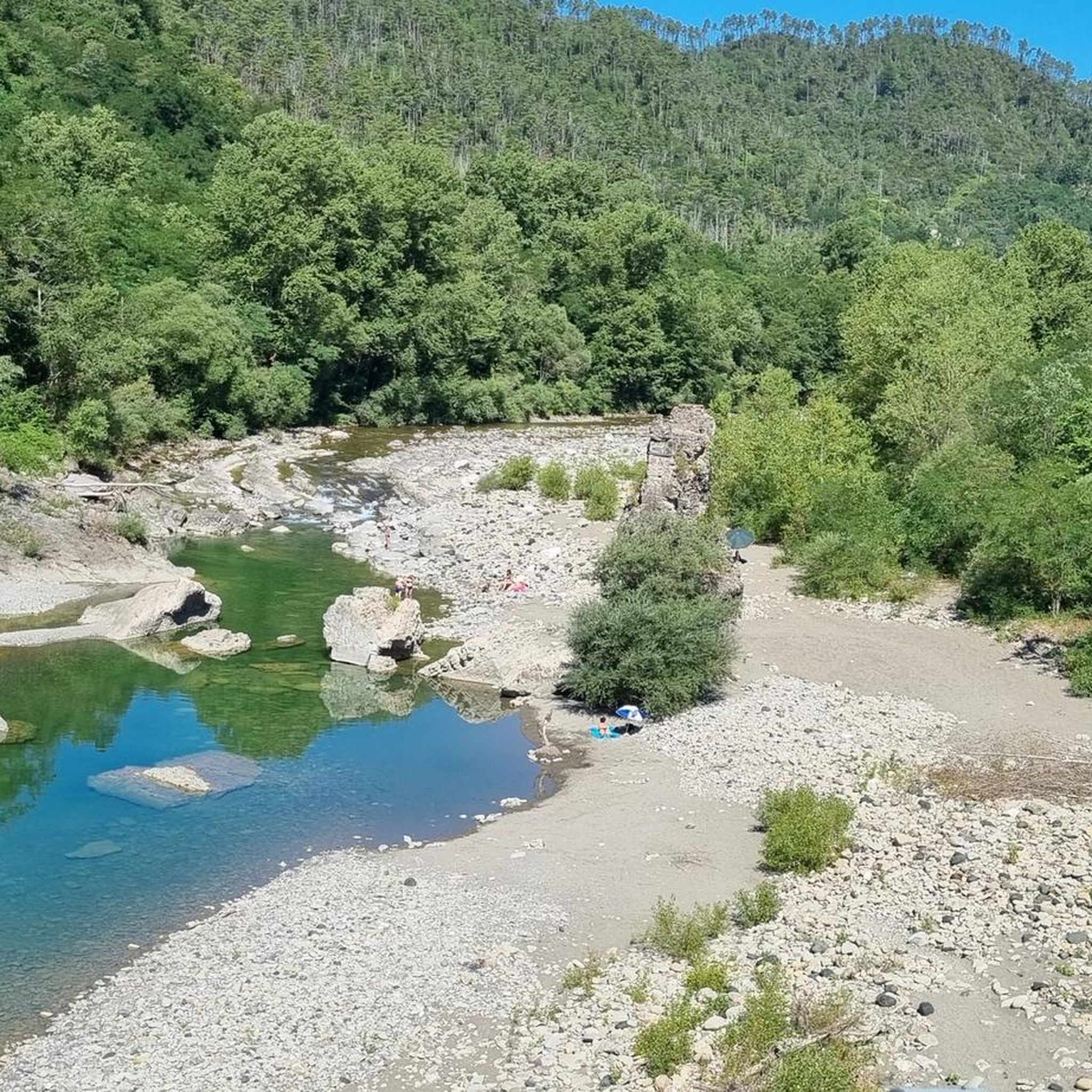
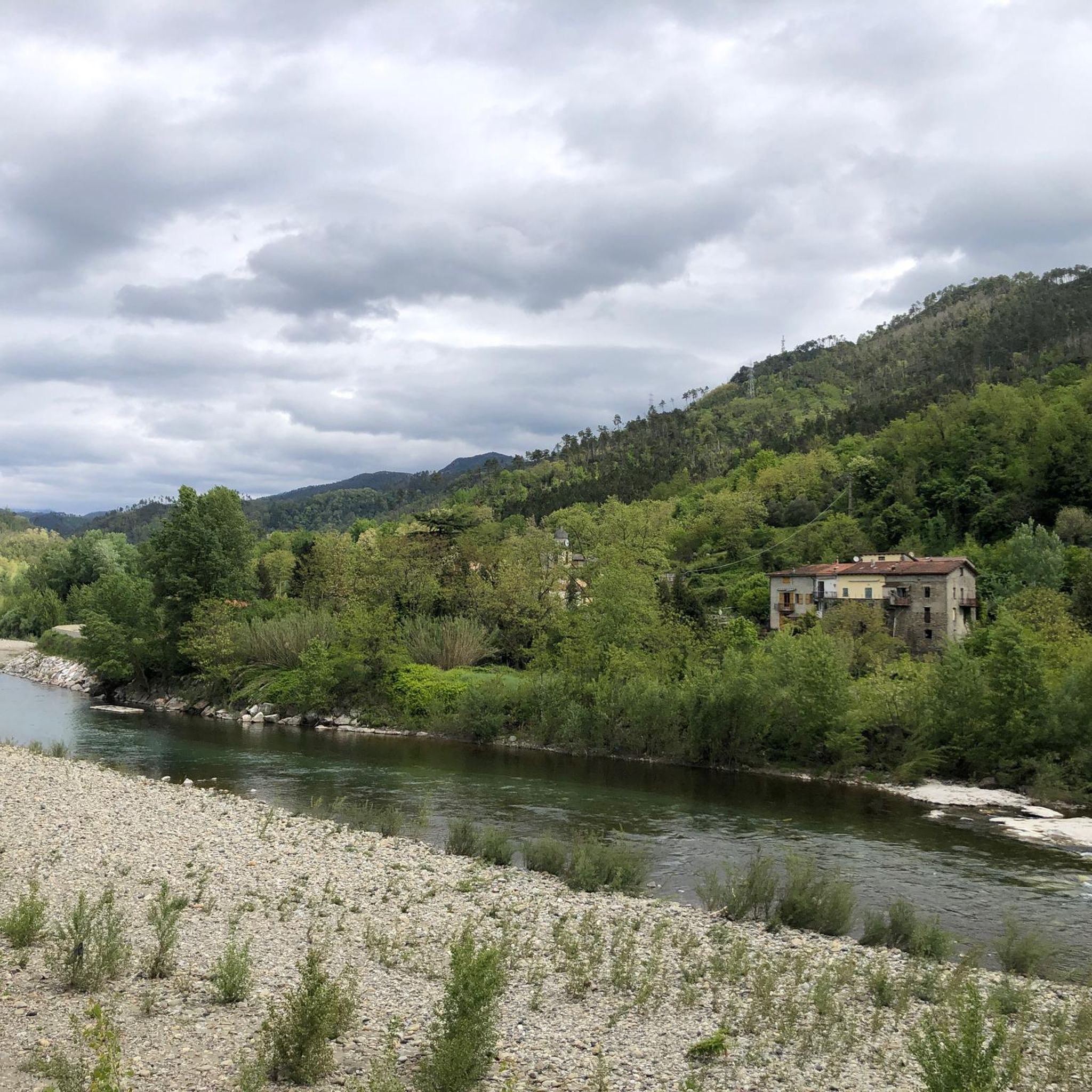
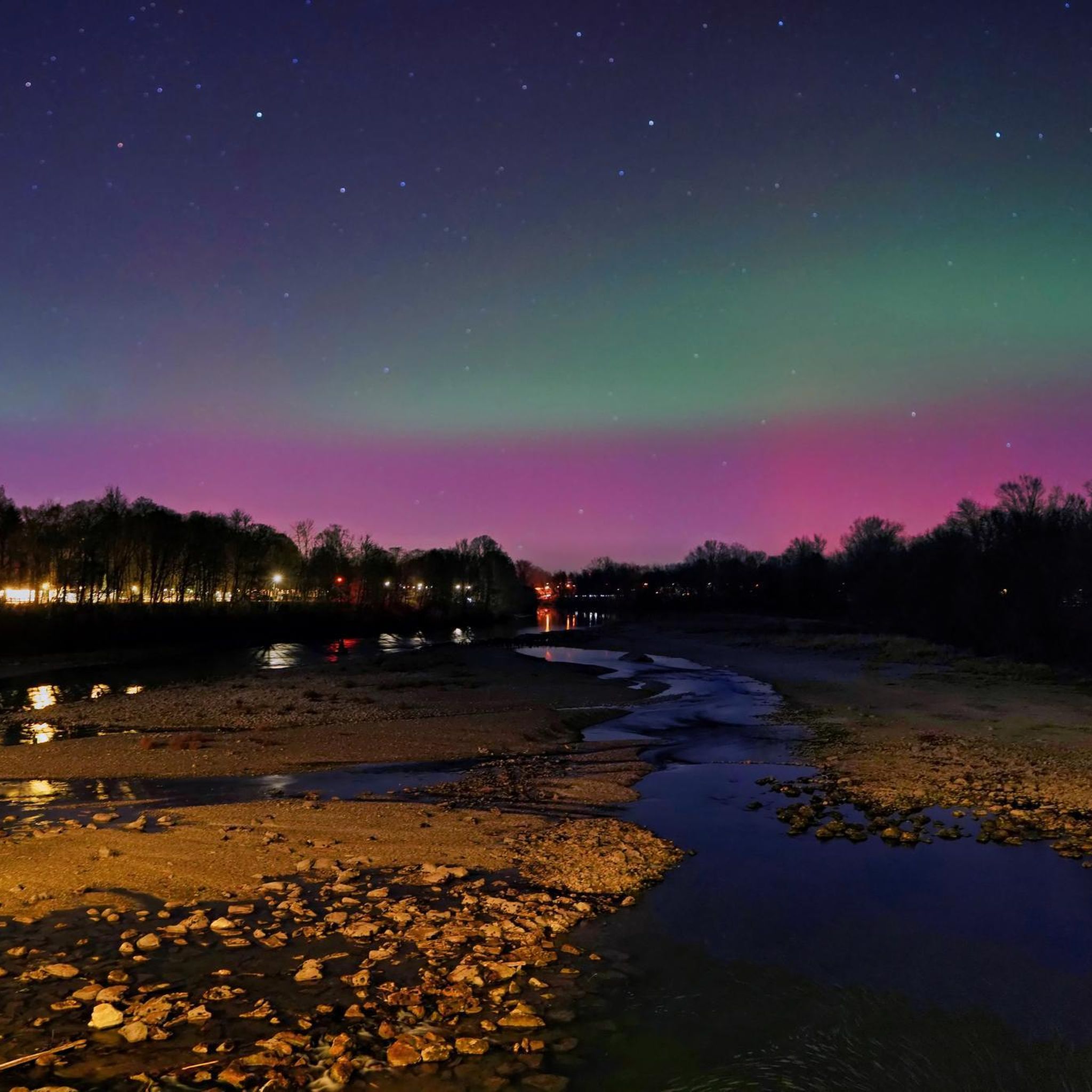
Other adventures around Beverino

Tips from the Community

Beautiful: absolutely worth visiting
0
0
Scenic stretch of the Path of Love
0
0

Fantastic views along the route.
0
0
Fantastic views along the route.
0
0
Fantastic views along the route.
0
0
Dreamlike views along the route.
0
0

Here you'll also find the artwork "Terzo Paradiso" by Michelangelo Pistoletto, created in 2003. More info: https://terzoparadiso.org/en/what-is
0
0

The beautiful pilgrimage church above Vernazza is beautifully situated in the Cinque Terre landscape. Unfortunately, it wasn't open during our visit.
7
0
Frequently Asked Questions
How many mountaineering routes are available around Beverino?
There are 10 mountaineering routes around Beverino, offering diverse experiences in the Italian Riviera hinterland, closely connected to the dramatic coastline of Cinque Terre.
What are the difficulty levels of mountaineering routes near Beverino?
The routes around Beverino are primarily categorized as moderate or difficult. You'll find 6 moderate routes and 4 difficult routes, catering to experienced mountaineers seeking challenging treks through hilly and mountainous terrain.
Are there any circular mountaineering routes around Beverino?
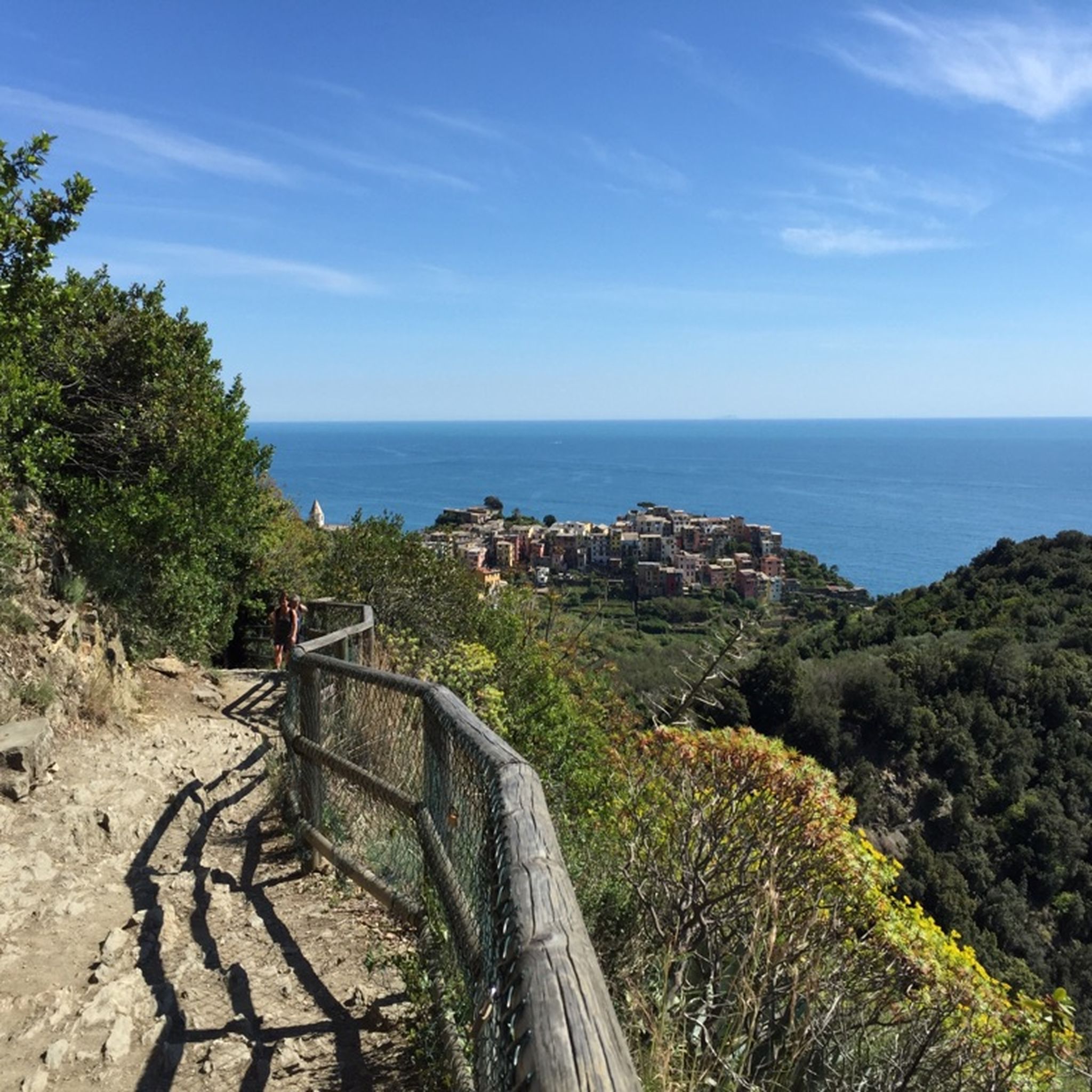
Yes, many mountaineering routes in the area are circular, allowing you to start and end at the same point. For example, the View of Corniglia loop from Corniglia is a popular moderate circular route offering expansive views of the iconic Cinque Terre village.
What kind of views can I expect on these mountaineering routes?
The routes offer spectacular vistas of the Italian Riviera, including dramatic coastlines, terraced vineyards, and picturesque villages. You can enjoy sea views and panoramas of places like Corniglia and Manarola. For instance, the View of Vernazza and the sea – Vernazza loop from Monterosso provides dramatic sea views and passes through the scenic coastal landscape.
What are some notable landmarks or points of interest I might encounter?
The region is rich with natural and historical points of interest. You might encounter various mountain passes like Telegrafo Pass or Solini Pass. There are also several peaks offering panoramic views, such as Prevo — Highest point on the Blue Path (Sentiero Azzurro) and Monte Rossola Summit Cross.
What is the typical duration for mountaineering routes in this area?
The duration of routes varies depending on their length and difficulty. For example, a moderate route like the View of Corniglia and Manarola – View of Corniglia loop from Vernazza typically takes around 2 hours 40 minutes, while more difficult and longer routes can take upwards of 4 to 6 hours, such as the View of Corniglia loop from Riomaggiore.
Is public transport available to access trailheads near Beverino?
Given Beverino's proximity to the Cinque Terre, public transport options like regional trains and buses are generally available to reach the villages that serve as trailheads for many routes. It's advisable to check local transport schedules for specific access points.
Are there any permits required for mountaineering in the Cinque Terre area near Beverino?
Hiking in certain parts of the Cinque Terre National Park, especially the famous coastal 'Blue Path' (Sentiero Azzurro), often requires a Cinque Terre Card. While Beverino itself is in the hinterland, many routes connect to or pass through the park. It's recommended to check the official Cinque Terre National Park website for the most current permit requirements before your trip.
What do other mountaineers enjoy most about the routes around Beverino?
The routes around Beverino are highly rated by the komoot community, with an average score of 4.9 stars from over 24 reviews. Mountaineers often praise the challenging terrain, the breathtaking coastal and village views, and the unique experience of trekking through terraced vineyards and green mountains.
Are there any family-friendly mountaineering options?
While many routes are moderate to difficult due to the rugged terrain and significant elevation changes, some shorter, less strenuous sections or alternative paths might be suitable for families with older children who are accustomed to hiking. Always check the specific route details and difficulty before setting out with family.
Can I bring my dog on the mountaineering trails?
Dog-friendly policies can vary within the Cinque Terre National Park and surrounding areas. While many trails in Italy are generally accessible to dogs on a leash, it's crucial to verify specific regulations for each route or protected area you plan to visit. Look for signage at trailheads or consult local tourism information.
What is the best time of year for mountaineering around Beverino?
The spring (April-May) and autumn (September-October) months generally offer the most pleasant weather for mountaineering, with milder temperatures and fewer crowds. Summer can be very hot, especially on exposed coastal paths, while winter can bring cooler temperatures and potentially more challenging conditions at higher elevations.
Are there opportunities for food and drink stops along the routes?
Many mountaineering routes in the Beverino area connect to or pass near the charming villages of Cinque Terre. These villages offer numerous cafes, restaurants, and shops where you can refuel and enjoy local Ligurian cuisine. It's a good idea to plan your route to include these stops if desired.
Most popular routes around Beverino
Most popular attractions around Beverino

Get inspired with the komoot mobile app


Explore more
Browse the best Mountain Hikes & Routes in other regions.
