The best walks and hikes around Reitwein
4.6
(543)
1,916
hikers
23
hikes
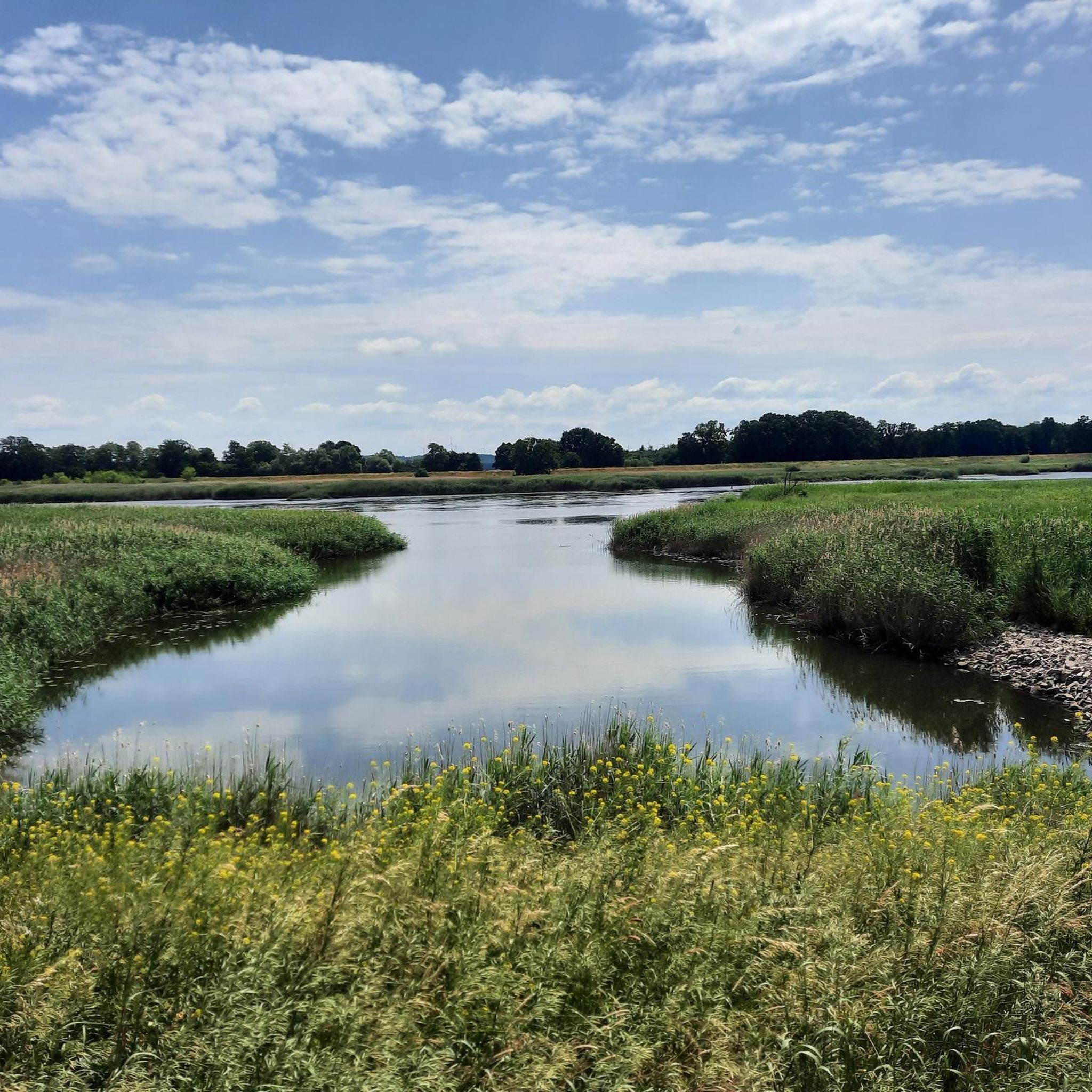
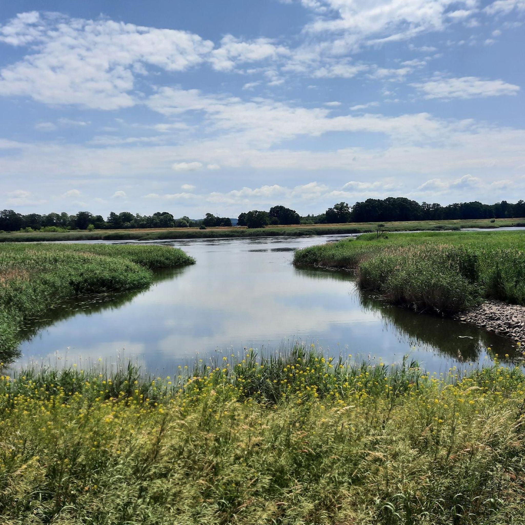
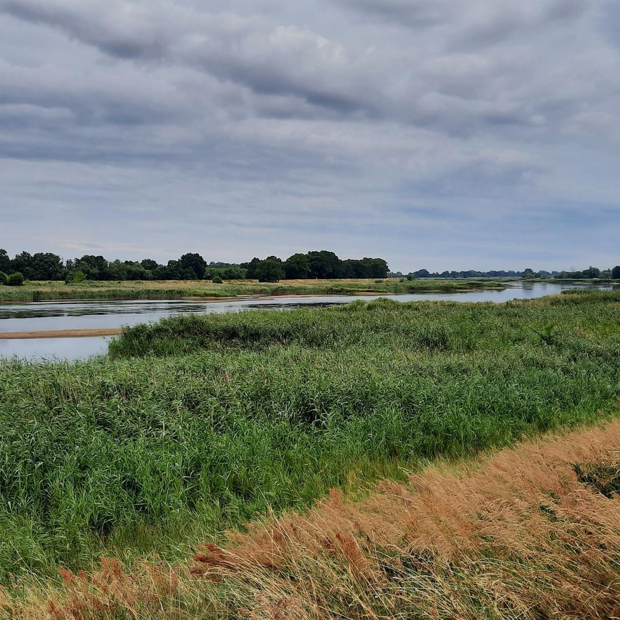
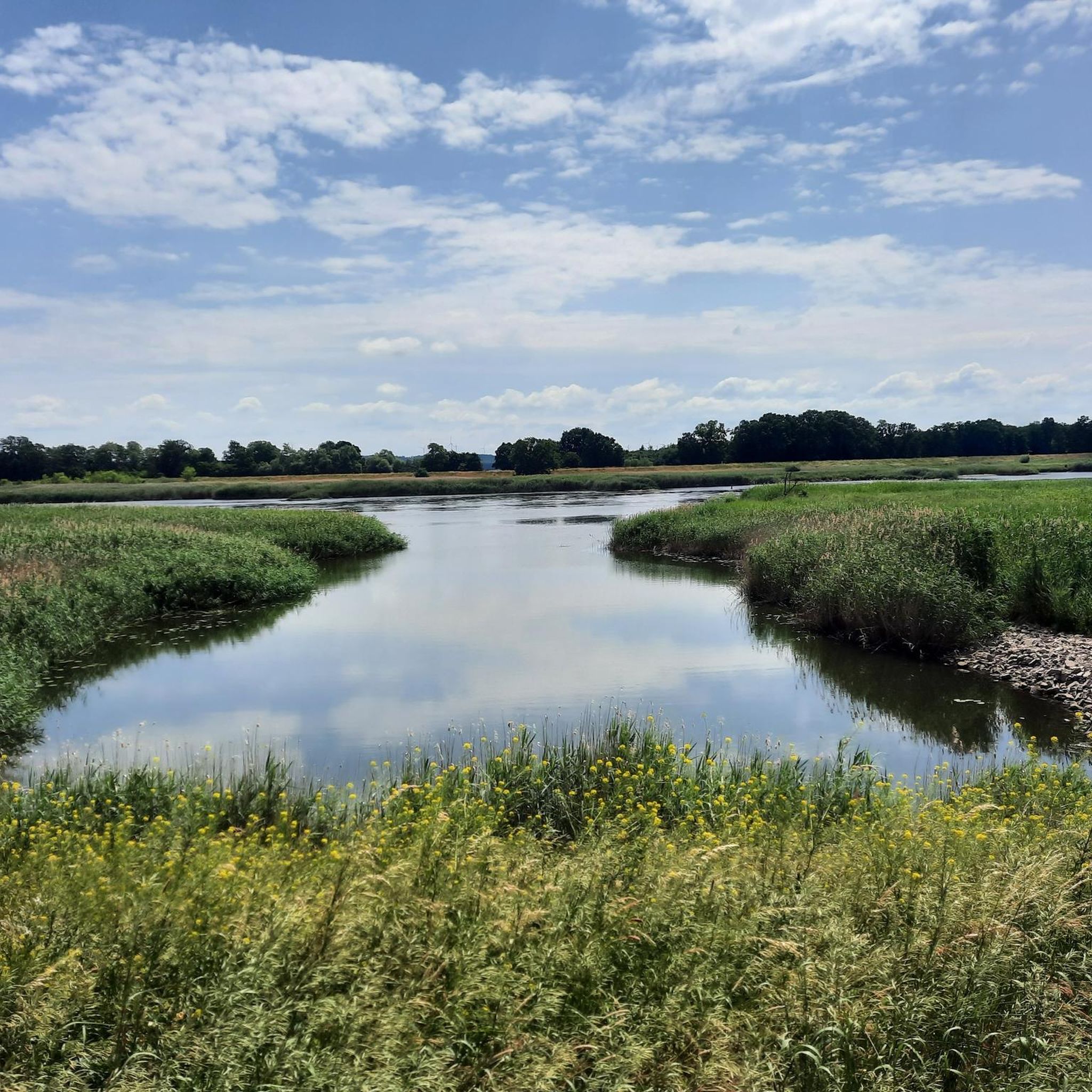
Hiking around Reitwein offers a diverse landscape characterized by the Oder river floodplains, historic woodlands, and gentle elevations. The region features trails that traverse forested areas, follow river dikes, and explore local historical sites. The terrain is generally mild, with modest elevation changes, making it accessible for various hiking abilities.
Best hiking trails around Reitwein
- The most popular hiking route is Old Oak Avenue – Priesterschlucht loop from Reitwein, a 4.8 miles (7.7 km) trail that takes 2 hours…
Last updated: October 9, 2026
4.3
(15)
40
hikers
7.73km
02:03
70m
70m
Moderate hike. Good fitness required. Easily-accessible paths. Suitable for all skill levels.
4.9
(8)
35
hikers
3.93km
01:06
80m
80m
Easy hike. Great for any fitness level. Easily-accessible paths. Suitable for all skill levels.

4.8
(5)
15
hikers
12.9km
03:16
20m
20m
Moderate hike. Good fitness required. Easily-accessible paths. Suitable for all skill levels.
4.9
(7)
19
hikers
12.1km
03:13
120m
120m
Moderate hike. Good fitness required. Easily-accessible paths. Suitable for all skill levels.
4.3
(3)
8
hikers
10.1km
02:41
110m
110m
Moderate hike. Good fitness required. Easily-accessible paths. Suitable for all skill levels.
Get access to more routes and recommendations from other explorers.
Already have an account?
Our route recommendations are based on thousands of hikes, rides, and runs completed by other people on komoot.
Start today with a free account
Your next adventure awaits.
Tips from the Community

The Soviet War Cemetery Reitwein was established after the Second World War in the former parkland next to Reitwein Castle. With the help of local residents, all known graves of fallen soldiers of the Red Army were reburied in this mass grave. The cemetery comprises approximately 3000 fallen soldiers. However, only a portion of the deceased are known by name and listed on the gravestones.
0
0


An art project is housed inside the transformer.
0
0
Great place for a break!
0
0
The Priesterschlucht is a great hiking area.
0
0

Very good information board about the history of the Diplomatic Staircase.
0
0

The restaurant "Am Reitweiner Sporn" has a long tradition. At the beginning of the 20th century, clubs and especially estate workers met here, you could play billiards and shoot with air rifles. Balls were held in a large hall that was built behind the inn in 1910. Sometimes a youth group put on plays under the direction of the village teacher. A special highlight were circus performances with horses. In summer, the groups of hikers and cyclists who come down the Reitweiner Spur on their tour sit chatting on the terrace. Source: http://www.reitwein.info/sehenswuerdigungen/#sporn
0
0
Some of the images are incorrect at this point. The signpost in the first picture is approx. 150 m further and above the restaurant "Am Reitweiner Sporn". Correctly, we are here on the Kirchberg below the Stüler Church.
0
0
Frequently Asked Questions
How many hiking trails are available around Reitwein?
There are over 25 hiking trails around Reitwein, offering a diverse range of experiences from easy strolls to more challenging excursions. The region's trails are highly rated by the komoot community, with an average score of 4.5 stars.
What is the typical length and duration of hikes in Reitwein?
Hikes in Reitwein vary in length and duration. For example, the Thick Oak – Shukov Bunker loop from Reitwein is an easy 2.4-mile (3.8 km) path, taking about 1 hour. Longer routes like the Trafo 3 Art Gallery – Oderdamm loop from Reitwein cover 8.0 miles (12.9 km) and typically take around 3 hours 16 minutes.
Are there easy or family-friendly hiking options in Reitwein?
Yes, Reitwein offers several easy and family-friendly hiking options. Approximately one-third of the trails are rated as easy, making them suitable for beginners or families. An excellent choice is the Thick Oak – Shukov Bunker loop from Reitwein, which is an easy 2.4-mile (3.8 km) path winding through forested areas and past historical sites.
Can I bring my dog on the hiking trails in Reitwein?
Generally, dogs are welcome on the hiking trails around Reitwein. It's always recommended to keep your dog on a leash, especially in nature protection areas or near wildlife, and to clean up after them. There are no specific restrictions mentioned for the trails in this region.
Are there any challenging hikes for experienced hikers?
While the terrain around Reitwein is generally mild, there are a few routes that offer more challenge. About 16% of the trails are rated as difficult, featuring longer distances or slightly more varied terrain. These routes often explore the historic woodlands and ravines with more elevation changes.
What kind of natural attractions can I see along the trails?
The region boasts several natural attractions. You can explore the Priesterschlucht, a notable gorge, or discover the Adonisröschen Slopes in the Odertal. The Pontic Slopes Nature Trail also offers insights into the local flora and fauna.
Are there any historical sites or cultural points of interest to explore?
Yes, Reitwein's trails often lead past historical and cultural sites. The Thick Oak – Shukov Bunker loop from Reitwein, for instance, passes historical sites. You might also encounter the Kostrzyn Fortress or the Protestant Church Lebus, which are significant landmarks in the wider region.
What is the best time of year to go hiking in Reitwein?
The best time to hike in Reitwein is typically during spring (April-May) and autumn (September-October). During these seasons, the weather is mild, and the natural landscapes, from blooming wildflowers to vibrant fall foliage, are particularly beautiful. Summer can also be pleasant, but it's advisable to start early to avoid midday heat.
Are there circular hiking routes available?
Yes, many of the hiking routes around Reitwein are circular, allowing you to start and end at the same point without retracing your steps. Examples include the popular Old Oak Avenue – Priesterschlucht loop from Reitwein and the Priesterschlucht – Old Oak Avenue loop from Reitwein.
What do other hikers say about the trails in Reitwein?
The trails in Reitwein are highly regarded by the komoot community, with an average rating of 4.5 out of 5 stars from over 230 reviews. Hikers frequently praise the region's diverse landscape, including the historic woodlands, the peaceful Oder river dikes, and the well-maintained paths that cater to various skill levels.
Is there parking available near the trailheads in Reitwein?
While specific parking areas are not detailed for every trailhead, Reitwein is a rural community, and parking is generally available in or near the village center, or at designated spots close to popular trail starting points. It's advisable to check local signage upon arrival.
Can I reach the hiking routes by public transport?
Public transport options to Reitwein may be limited, as it is a smaller village. Regional bus services might connect Reitwein to larger towns. For the most up-to-date information on routes and schedules, it's best to consult local public transport providers or plan your journey in advance.
Most popular attractions around Reitwein

Get inspired with the komoot mobile app


Explore more
Browse the best Hikes in other regions.
