The best MTB trails around Campotosto
4.5
(96)
689
riders
12
rides
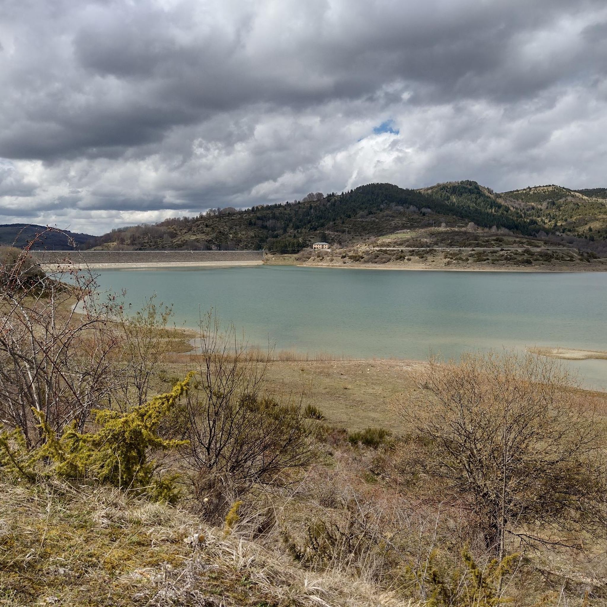
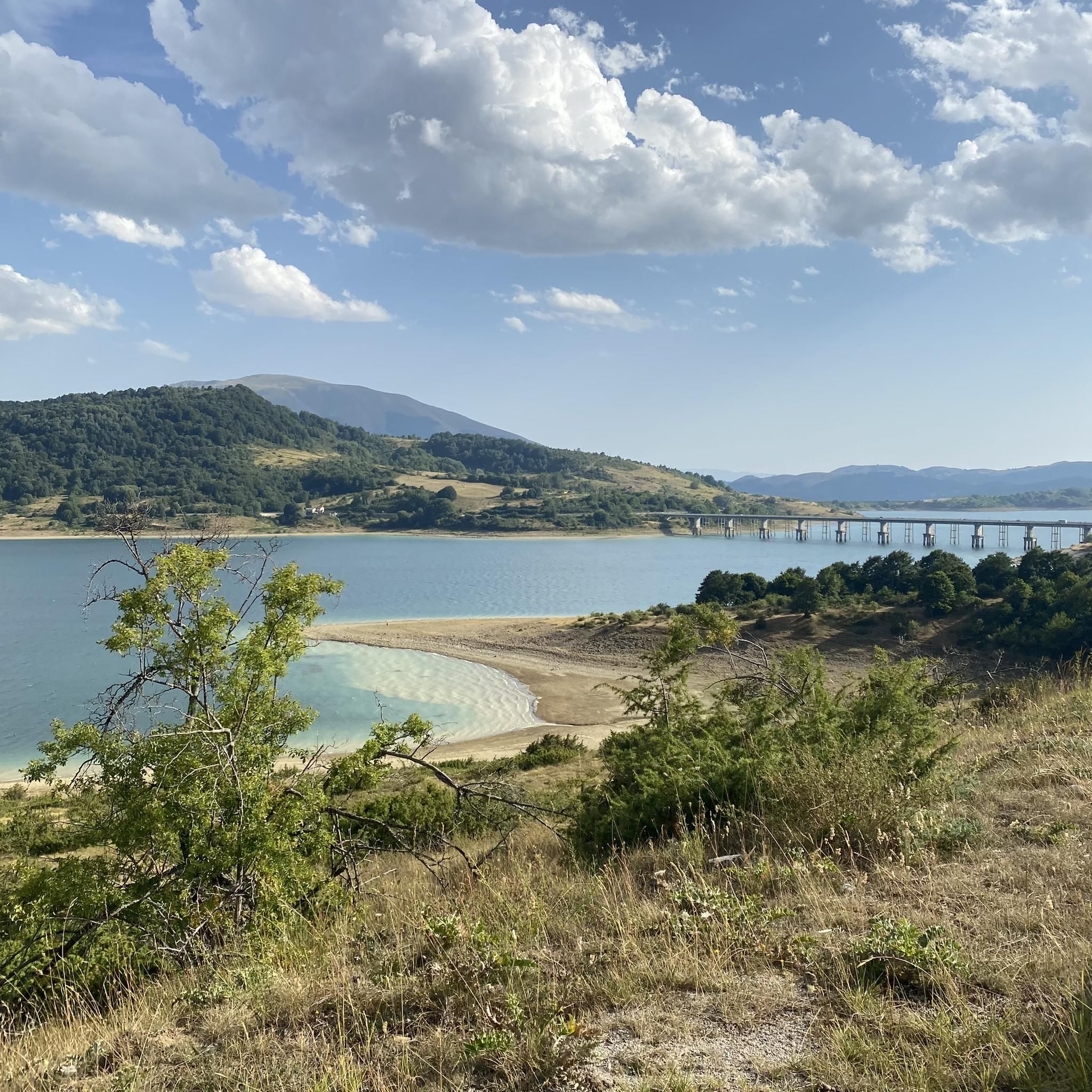
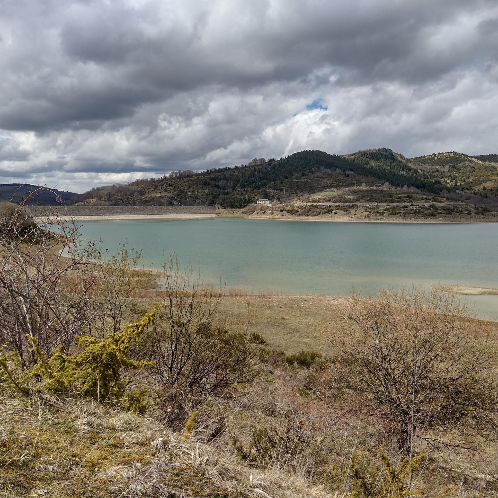
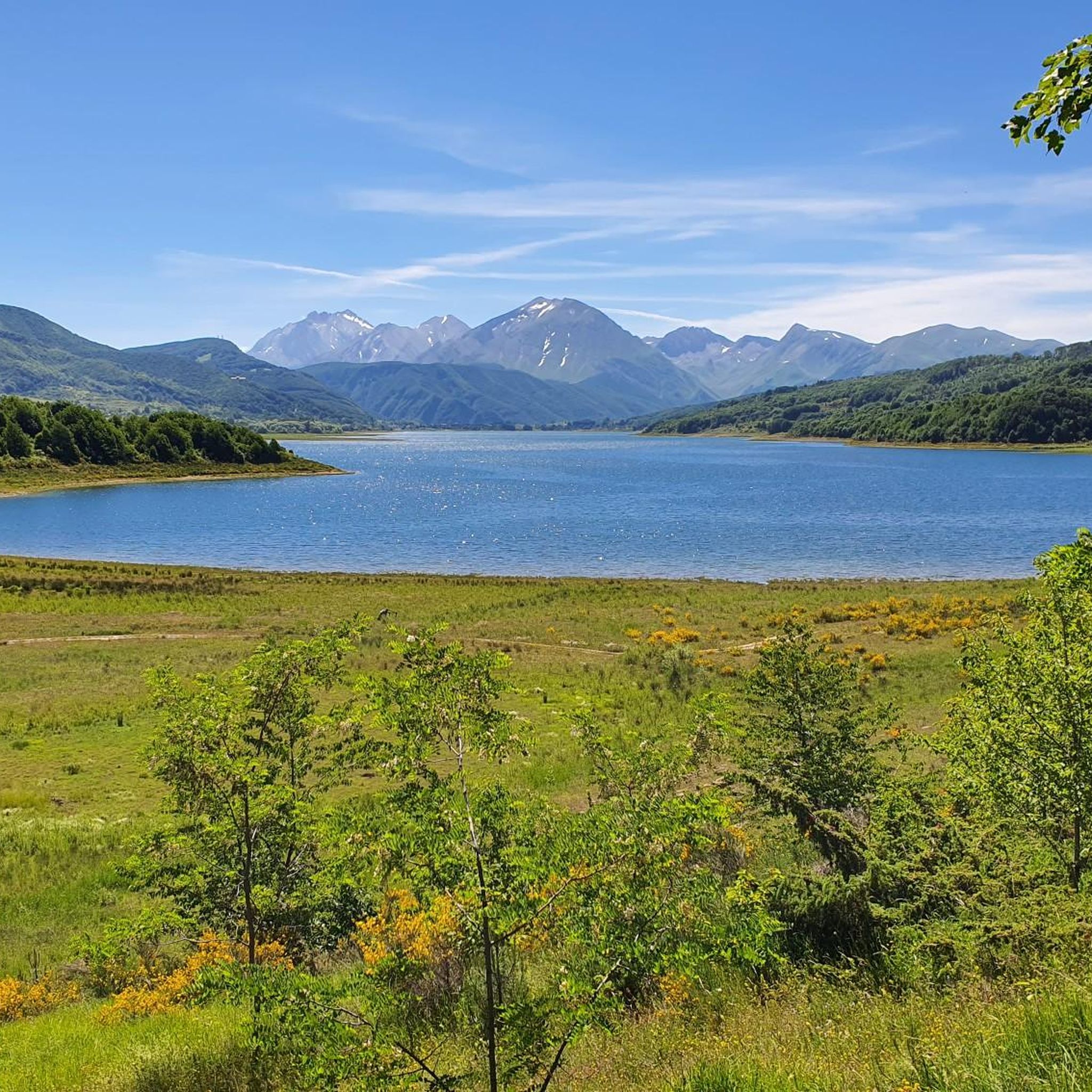
Mountain biking around Campotosto offers diverse terrain centered on the artificial Lake Campotosto, situated within the Gran Sasso and Monti della Laga National Park. The region features rich vegetation, meadows, and woods, with the majestic Central Apennine mountains, including the Gran Sasso massifs, forming a dramatic backdrop. Riders can expect varied landscapes, from the lake's perimeter to higher altitudes offering views of surrounding peaks. The area provides a network of trails with varying difficulty levels, catering to different mountain biking preferences.
Best mountain bike trails around Campotosto
- The most popular mountain bike trail is Giro completo del lago di Campotosto, a 19.7 miles (31.7 km) trail that takes 2 hours 29 minutes to complete. This difficult route offers a full circuit around Lake Campotosto with significant elevation changes.
- Another top favourite among local mountain bikers is Lago di Campotosto and Rifugio Fioretti Loop, a difficult 18.4 miles (29.6 km) path. This challenging loop provides extensive views of Gran Sasso and the surrounding mountain ranges.
- Local mountain bikers also love the Giro del lato settentrionale del lago di Campotosto, a 15.9 miles (25.5 km) trail leading through the northern part of the lake's perimeter, often completed in about 1 hour 46 minutes.
- Mountain biking around Campotosto is defined by the expansive Lake Campotosto, the surrounding Apennine mountains, and diverse vegetation including beech and willow woods. The network offers options for various ability levels, from moderate lakeside paths to difficult mountain ascents.
- The routes in Campotosto are highly rated by the komoot community with an average score of 4.5 stars from nearly 100 reviews. More than 700 mountain bikers have used komoot to explore Campotosto's varied terrain.
Last updated: June 23, 2026
4.6
(5)
33
riders
25.5km
01:46
290m
290m
Embark on a moderate mountain biking adventure around the northern side of Lake Campotosto, nestled within Italy's Gran Sasso e Monti della Laga National Park. This popular route, known as "Giro del lato settentrionale del lago di Campotosto," offers continuous scenic views of the artificial lake and the imposing Gran Sasso mountains. You'll cover 15.9 miles (25.5 km) with an elevation gain of 954 feet (291 metres), typically completing the ride in about 1 hours and 45 minutes, navigating varied terrain that includes lake perimeter paths, meadows, and wooded areas.
While the trail is generally considered moderate and suitable for various fitness levels, some sections may be technical, requiring advanced riding skills or even pushing your bike. The route largely follows road and asphalted paths, making it accessible for many, but be prepared for diverse surfaces. The research does not provide specific details on trailhead access, parking, public transport, permits, fees, or seasonal closures, so it's advisable to check local conditions before you go.
This trail is a highly rated favorite within the Komoot community, celebrated for its comprehensive experience of the Abruzzo Apennines' unique environment. It stands out as an accessible option to explore the Gran Sasso e Monti della Laga National Park without the extreme difficulty of some other regional trails. Enjoy the lush vegetation and ever-changing landscapes as you cycle, with the profiles of the Monti della Laga visible from various points along the way.
5.0
(1)
8
riders
31.7km
02:29
580m
570m
If you are looking for a challenging mountain biking adventure, the Giro completo del lago di Campotosto is a difficult route that takes you all the way around Lake Campotosto. This 19.7-mile (31.7 km) loop features diverse terrain, from lake paths to mountainous sections, with an elevation gain of 1905 feet (581 metres). You can expect stunning panoramic views of the Gran Sasso mountain range, including Corno Grande, reflected in the lake's waters. The ride, which takes about 2 hours and 28 minutes, offers a mix of lush vegetation, meadows, and woods, with some unpaved segments that might require you to push your bike.
This mountain biking trail is situated within the Gran Sasso e Monti della Laga National Park, offering a truly wild experience. The route passes through the villages of Campotosto and Mascioni, and you will cross one of the three dams that form the artificial lake. The area's minimal human development means you get to enjoy unspoiled nature, especially beautiful in autumn when the colors are vibrant. This trail is a favorite among local mountain bikers, so you might encounter others enjoying the ride.
The Giro completo del lago di Campotosto is notable for encircling the largest artificial lake in the Abruzzo region. The route takes place at an elevation of approximately 1,300 meters (4,308 feet) above sea level, providing a unique high-altitude cycling experience. It requires good physical fitness and advanced riding skills due to its difficult rating. Prepare for a ride where the natural setting, with peaks exceeding 2,500 meters, is the main attraction.

Sign up for free
5.0
(1)
10
riders
29.6km
03:01
1,060m
1,060m
This difficult 18.4-mile mountain biking loop around Lago di Campotosto and to Rifugio Fioretti offers stunning Gran Sasso views.
2
riders
22.1km
01:43
350m
350m
Moderate mountain bike ride. Good fitness required. Advanced riding skills necessary.
4.4
(14)
111
riders
39.0km
02:15
390m
400m
Moderate mountain bike ride. Good fitness required. Suitable for all skill levels.
Get access to more routes and recommendations from other explorers.
Sign up for free
Already have an account?
Our route recommendations are based on thousands of hikes, rides, and runs completed by other people on komoot.
Start today with a free account
Your next adventure awaits.
Login or Signup
Popular around Campotosto
Natural Park Walk – part 4 from Accumoli to L'Aquila
The Sibillini Mountains to Gran Sasso – the Great Apennine Crossing
Through the green lungs of Abruzzo – Sentiero Italia
A journey through changed lands – Cammino nelle Terre Mutate
Hiking around Campotosto
Running Trails around Campotosto
Road Cycling Routes around Campotosto
Cycling around Campotosto
Other adventures around Campotosto


Tips from the Community


Nature trail almost at the edge of the lake. Very doable with mountain bikes and gravel bikes. No bdc. ⚠️⚠️⚠️ RESPECT NATURE AND DON'T GET DIRTY
0
0
Excellent for a stop after a tour of the lake or in the Chiarino valley area
0
0

Located at an altitude of 1,500 meters above sea level, the Fioretti refuge is one of the few managed refuges that are located along the Apennines. It opens on request and the manager can be contacted at this number 3386756890. It is still worth reaching the refuge that offers enchanting views of the Gran Sasso massif and in particular of Mount Corvo.
2
0
To get a better view of the Gran Sasso I suggest you get to the top of the cardito agri-fuge at about 700 m from the highlight so you can see it in all its immensity. The best time to go is a summer afternoon when a little north wind blows so you can see it more clearly
0
0
bridge that allows you to cross from one side of the lake to the other. Go ahead with the mountain bike if you are in BDC pay attention to the holes. ALWAYS BEWARE OF THE WIND THAT SOMETIMES BLOWS STRONG
0
0

Nerito is a fraction of the municipality of Crognaleto. It is located in an area of still uncontaminated nature, between the sources of the Vomano river and the Monti della Laga. Here passes a stretch of the great horse trail of the Gran Sasso. https://it.wikipedia.org/wiki/Nerito_(Crognaleto)
0
0
This point is located exactly in front of the Sella Pedicate Dam.
1
0
Frequently Asked Questions
How many mountain bike trails are there around Campotosto?
There are 13 mountain bike trails around Campotosto, offering a variety of experiences. These include 1 easy, 6 moderate, and 6 difficult routes, catering to different skill levels.
What are the difficulty levels of mountain bike trails in Campotosto?
The trails around Campotosto offer a range of difficulty levels. You'll find 1 easy route, 6 moderate routes, and 6 challenging difficult routes, ensuring options for both casual riders and experienced mountain bikers.
Are there any circular mountain bike routes around Lake Campotosto?
Yes, the region is well-known for its circular routes around Lake Campotosto. A popular option is the difficult Giro completo del lago di Campotosto, which covers 31.7 km with significant elevation changes. For a slightly different challenge, consider the difficult Lago di Campotosto and Rifugio Fioretti Loop.
What kind of terrain and elevation can I expect on Campotosto mountain bike trails?
Mountain biking in Campotosto features diverse terrain, from relatively flat paths around the lake to steep climbs and descents in the surrounding mountains. Routes like the difficult Lago di Campotosto and Rifugio Fioretti Loop can involve over 1000 meters of elevation gain, offering challenging ascents and technical sections. The landscape includes lush vegetation, meadows, and woods, with continuous views of the Central Apennine mountains.
What natural features and viewpoints can I see along the mountain bike trails in Campotosto?
The trails offer stunning views of Lake Campotosto and the majestic Gran Sasso massifs, including Pizzo Intermesoli, Monte San Franco, and Monte Corvo. From higher altitudes, you can even spot the Laga peaks and, on clear days, the Sibillini Mountains. The area is also a State Nature Reserve, rich in birdlife, and features diverse vegetation like beech and willow woods. You can also visit the Lake Campotosto itself.
Are there any waterfalls accessible from the mountain bike trails?
Yes, the Campotosto area is home to several beautiful waterfalls. You might encounter the Morricana Waterfall, or explore the nearby Valley of the Hundred Waterfalls. Other notable waterfalls include the Rivotico Waterfall and various cascades within the Gran Sasso e Monti della Laga National Park.
What do other mountain bikers enjoy most about Campotosto?
The area is highly rated by the komoot community, with an average score of 4.5 stars from nearly 100 reviews. Mountain bikers often praise the diverse terrain, the stunning views of Lake Campotosto and the Gran Sasso mountains, and the variety of routes available for different skill levels. The natural beauty and peaceful atmosphere are frequently highlighted.
What is the best time of year for mountain biking in Campotosto?
The best time for mountain biking in Campotosto is typically from spring through autumn. During these seasons, the weather is generally favorable, and the natural landscape is vibrant. In winter, the lake can freeze, transforming the area into a cross-country skiing destination, making mountain biking less suitable.
Are there any family-friendly mountain bike trails in Campotosto?
While many routes offer significant challenges, some sections around Lake Campotosto are flatter and more accessible. For a moderate option that might be suitable for families with some riding experience, consider Giro del lato settentrionale del lago di Campotosto, which covers 25.5 km along the northern part of the lake.
Can I bring my dog on the mountain bike trails in Campotosto?
The Campotosto area is part of the Gran Sasso and Monti della Laga National Park, which generally welcomes dogs on trails, often requiring them to be on a leash to protect wildlife. It's always best to check specific park regulations or individual trail rules before heading out with your dog.
Are there any places to eat or stay near the mountain bike trails?
The charming town of Campotosto is located on the northern shore of the lake, and the smaller village of Mascioni is on the southeast. These areas offer opportunities to find local cuisine, including the famous Campotosto 'mortadella', and potentially accommodation options. It's advisable to check availability in advance, especially during peak seasons.
What other activities can be done around Lake Campotosto besides mountain biking?
Lake Campotosto is a hub for various outdoor activities. Besides mountain biking, you can enjoy hiking, jogging, horse riding, sport fishing, canoeing, windsurfing, and birdwatching. In winter, the frozen lake surface is popular for cross-country skiing. Important cultural and nature trails like the Sentiero Italia also pass nearby.
Most popular attractions around Campotosto

Get inspired with the komoot mobile app


Explore more
Browse the best MTB trails in other regions.
