The best walks and hikes around Rehhorst
4.4
(4340)
16,680
hikers
449
hikes
Hiking around Rehhorst offers diverse natural landscapes, characterized by forests, serene lakes, and expansive fields. Situated in the Stormarn district, the region features partly hilly terrain, particularly in its northern parts. Hikers can explore areas around the Reinfelder Herrenteich and trails along the Trave River, which wind through dense woodlands and past small lakes. This varied environment provides a tranquil setting for outdoor activities.
Best hiking trails around Rehhorst
- The most popular hiking route is Struckteich – Struckteich loop from…
Last updated: October 8, 2026
4.6
(41)
112
hikers
5.90km
01:34
60m
60m
Easy hike. Great for any fitness level. Easily-accessible paths. Suitable for all skill levels.
4.7
(21)
67
hikers
Easy hike. Great for any fitness level. Easily-accessible paths. Suitable for all skill levels.

4.9
(8)
18
hikers
Easy hike. Great for any fitness level. Easily-accessible paths. Suitable for all skill levels.
4.9
(8)
17
hikers
4.04km
01:02
10m
10m
Easy hike. Great for any fitness level. Easily-accessible paths. Suitable for all skill levels.
4.5
(2)
16
hikers
Easy hike. Great for any fitness level. Easily-accessible paths. Suitable for all skill levels.
Get access to more routes and recommendations from other explorers.
Already have an account?
Our route recommendations are based on thousands of hikes, rides, and runs completed by other people on komoot.
Start today with a free account
Your next adventure awaits.
Tips from the Community

turn left, up the small hill it goes to the Hühnengrab
0
0
Even if in some places the blackberries are about to overgrow the path and there is a short (~10m) section with a narrow dirt path, the path itself is not overgrown. The path seems to be used by riders, among others. But it's also nice to walk on. However, an overgrown path branches off from this path.
0
0

These are abandoned explosives bunkers from the Cold War era. Each one could contain up to 5 tons of explosives, secured behind three to four armored doors. These depots were unguarded but regularly checked. The military strategy at the time was to delay the advance of an invading enemy as effectively as possible. The most common barriers were blast shafts, which were sunk into strategically important roads and bridges during construction. The initially empty shafts could be quickly filled with explosives from such nearby depot bunkers. This meant that the road or bridge could be blown up and rendered impassable "if necessary." Until the 1990s, there were around 6,000 such barriers throughout West Germany. Since then, these barriers have been abandoned and, in many places, dismantled.
0
0
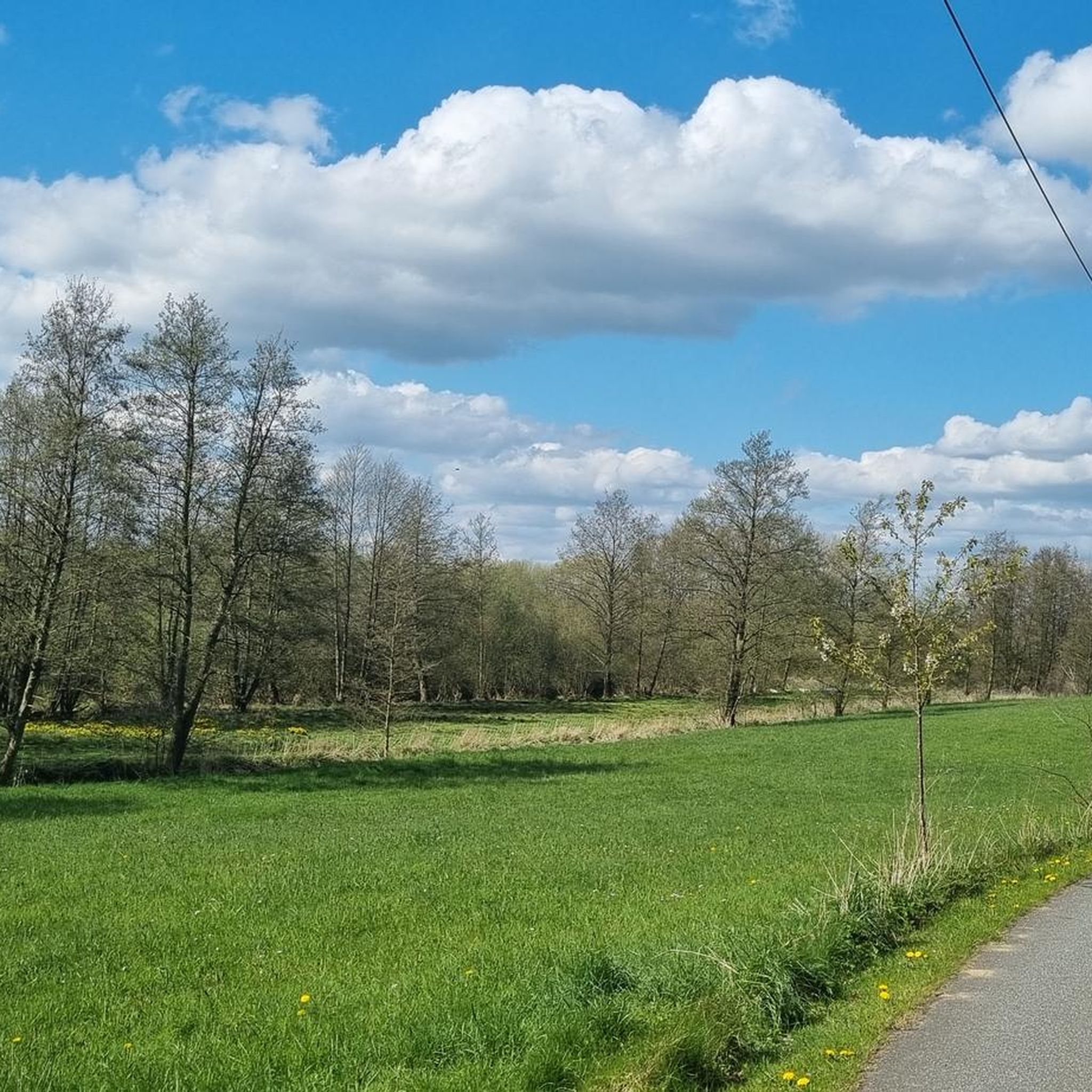
From the bench, the gaze sweeps over a flat meadow, where the "Oberteich" once spread out, drained around 1840. In the middle of the meadow, a small thicket can still be seen, hiding the meager remnant of the former Oberteich, fed by the Piepenbek coming from the direction of Voßkaten. This pond was one of over 60 fish ponds that the Cistercian monks of the former Reinfeld monastery created in the 12th century.
1
0

These are abandoned explosives bunkers from the Cold War era. Each one could contain up to 5 tons of explosives, secured behind 3 to 4 armored doors. These depots were not guarded but were checked regularly. The military strategy at the time was to delay the advance of an invading enemy as effectively as possible. The most common barriers were blast shafts, which were set into strategically important roads and bridges during construction. The initially empty shafts could be filled with explosives from such depot bunkers, which were always located nearby, in a very short time. This meant that the road or bridge could be blown up and made impassable "if necessary". Up until the 1990s, there were around 6,000 barriers prepared in this way throughout West Germany. Since then, these barriers have been abandoned and in many places have already been dismantled.
0
0

Beautiful, protected place for the bats...
8
0
Frequently Asked Questions
How many hiking trails are available around Rehhorst?
There are over 440 hiking trails around Rehhorst, offering a wide variety of options for all skill levels. The region features diverse landscapes, including forests, lakes, and fields, with some partly hilly terrain.
What kind of terrain can I expect on hikes in Rehhorst?
Hiking around Rehhorst offers a varied natural landscape. You can expect to find trails winding through serene forests, past tranquil lakes, and across expansive fields. The northern part of the Stormarn district, where Rehhorst is located, also features some partly hilly terrain, adding an interesting dimension to your walks.
Are there any circular hiking routes in the Rehhorst area?
Yes, Rehhorst and its surroundings offer several circular hiking routes. For example, the Struckteich – Struckteich loop from Zarpen is an easy 5.9 km circular trail. Another option is the Heidekamper Wohld loop from Oberer Herrenteich, which is 4.1 km long and takes you through the Heidekamper Wohld.
What are some natural attractions or landmarks to see while hiking near Rehhorst?
The region around Rehhorst is rich in natural beauty. You can explore areas like the Herrenteich Reinfeld, which offers a varied route encompassing water, forest, and meadows. Other notable natural features include the Brenner Moor Nature Reserve and the Kalkberg in Bad Segeberg. You might also encounter the Salt Pond in the Bad Oldesloe Spa Park.
What is the best time of year to go hiking in Rehhorst?
The spring and autumn seasons are particularly recommended for hiking in Rehhorst. During these times, the landscape is vibrant with fresh greenery or warm autumn colors, and the weather is generally pleasantly mild, making for ideal hiking conditions.
Are there easy hiking trails suitable for beginners or families in Rehhorst?
Yes, Rehhorst has many easy trails perfect for beginners or families. Out of 440 routes, 291 are classified as easy. An example is the Wooden Rest Area – View of the Piepenbek Ravine loop from Heidekamp, an easy 7.7 km path offering scenic views.
What do other hikers say about the trails in Rehhorst?
The trails in Rehhorst are highly rated by the komoot community, with an average score of 4.4 stars from over 3600 reviews. Hikers often praise the tranquil setting, the diverse natural landscapes of forests, lakes, and fields, and the well-maintained paths that offer a peaceful escape into nature.
Can I find trails that follow rivers or lakes in the Rehhorst area?
Absolutely. Many trails in the broader Stormarn region, including near Rehhorst, offer beautiful experiences along waterways. You can find routes that wind along the banks of the Trave River, through dense forests, and past small lakes like the Reinfelder Herrenteich, providing tranquil and scenic views.
Are there any longer-distance hiking connections from Rehhorst?
For those looking for more extensive treks, some routes in the Rehhorst area connect with supra-regional hiking trails. These include well-known paths such as the Via Baltica (a pilgrimage route), the Hanseatenweg, the Travewanderweg, and the Stormarnwanderweg, offering opportunities for multi-day adventures.
What are the difficulty levels of hiking trails around Rehhorst?
The hiking trails around Rehhorst cater to various ability levels. There are 291 easy routes, 134 moderate routes, and 15 difficult routes available. This variety ensures that both casual walkers and experienced hikers can find suitable options.
Are there any specific places to relax or take a break along the trails?
Yes, some trails offer designated spots for relaxation. For instance, the area around the Reinfelder Herrenteich features a spot with a small wooden pavilion and benches, perfect for taking a break and enjoying the views by the water.
Most popular attractions around Rehhorst

Get inspired with the komoot mobile app


Explore more
Browse the best Hikes in other regions.
