The best running trails around Manoppello
4.6
(8)
447
runners
55
runs
Jogging around Manoppello offers a variety of routes through its local landscapes. The region features a mix of rural paths and areas with gentle elevation changes, providing diverse running experiences. Runners can explore routes that traverse open countryside and pass through local settlements. The terrain is generally accessible, with options ranging from flat loops to paths with moderate climbs.
Best jogging routes around Manoppello
- The most popular jogging route is Path of the Stone Huts Loop, a 5.5 miles…
Last updated: October 8, 2026
3.0
(1)
2
runners
8.81km
00:58
180m
180m
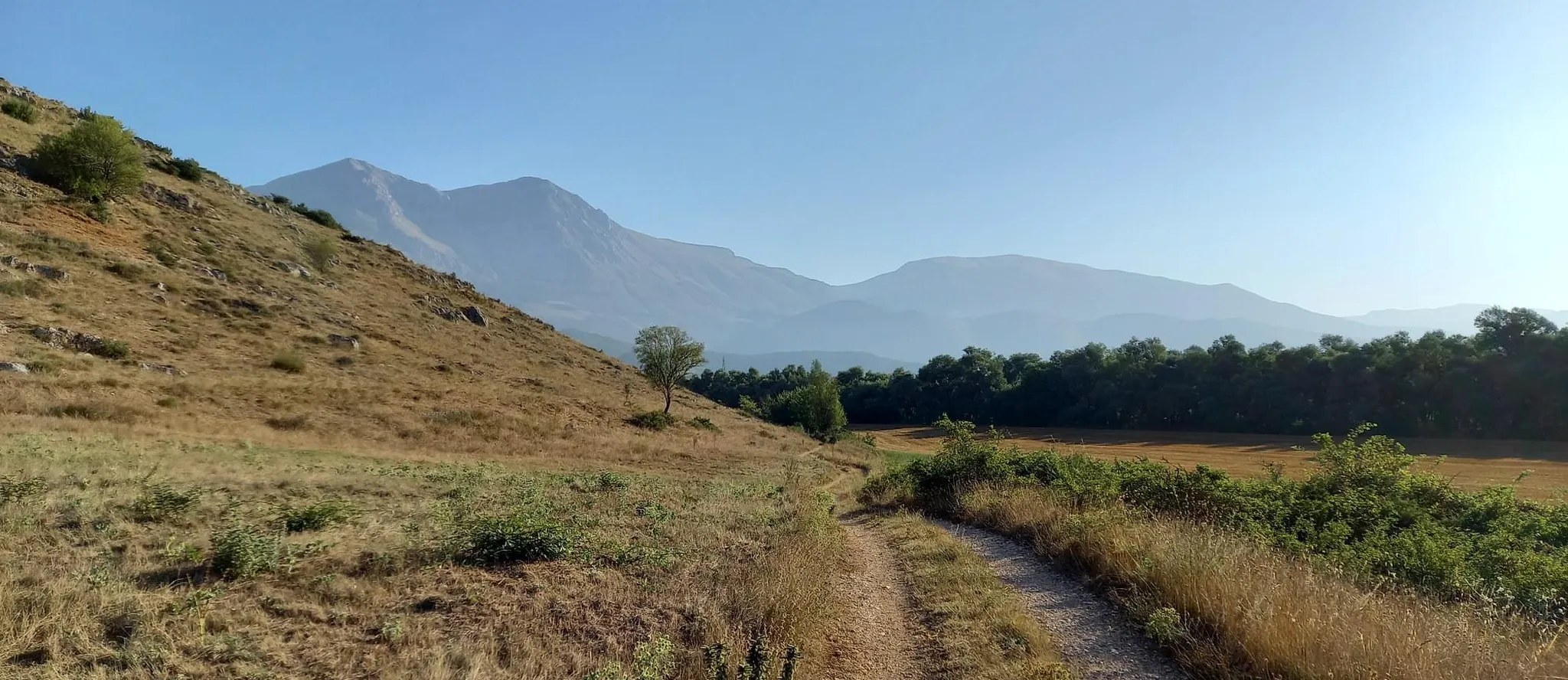
This moderate 5.5-mile jogging loop connects Roccamorice and Abbateggio, offering scenic views and cultural highlights in Majella National P
18
runners
10.5km
01:07
160m
160m
Moderate run. Good fitness required. Mostly paved surfaces. Suitable for all skill levels.

17
runners
8.24km
00:53
140m
140m
Moderate run. Good fitness required. Mostly paved surfaces. Suitable for all skill levels.
5.0
(1)
4
runners
8.87km
00:58
100m
100m
Moderate run. Good fitness required. Mostly paved surfaces. Suitable for all skill levels.
4.0
(1)
7
runners
9.26km
01:06
310m
320m
Hard run. Very good fitness required. Mostly paved surfaces. Suitable for all skill levels.
Get access to more routes and recommendations from other explorers.
Already have an account?
Our route recommendations are based on thousands of hikes, rides, and runs completed by other people on komoot.
Start today with a free account
Your next adventure awaits.
Other adventures around Manoppello

Tips from the Community

The tower overlooks the valley through which the Alento River flows. Half intact (and the other half collapsed), it's certainly a landmark for a beautiful hike and a view that sweeps across these lands.
0
0

the place is magnificent and if you remain silent, you can hear the river flowing through the valley.
0
0

This place is very fascinating. The circular tower, of evident Lombard origin, stands alone overlooking the Alento valley. From here, in fact, you have a spectacular view of the surrounding landscape. It can be reached either from the Abbey of San Liberato, through the Alento gorges (shorter route), or from the state road to Pretoro (longer route).
2
0
The abbey is located in an extremely suggestive place. It is immersed in the greenery of the woods on the slopes of the Majella massif. The structure is impressive and it is worth entering to admire the interior. In addition to being a beautiful example of Romanesque architecture, it is also a perfect starting point for exploring the surrounding woods. In fact, it has a large parking area.
4
0
The path here runs alongside the Alento river. The environment is enchanting: the sound of flowing water mixes with that of the tree branches moving in the wind. It's perfect for finding some cool air on hot summer days. It can be easily reached from the Abbey of San Liberatore.
6
0

Large open space in Abbateggio with a panoramic point.
0
0
Located 520 meters above sea level, Roccamorice is known for its peculiar position on a rock spur that divides the valleys of the Avinello and Lavino rivers, in the Maiella park.
0
0

Roccamorice is located on a rocky slope separating the valleys of the Lavino and Avinello rivers.
1
0
Frequently Asked Questions
How many running routes are available in Manoppello?
There are over 50 running routes around Manoppello, offering a diverse range of experiences for all ability levels. You'll find everything from easy jogs to more challenging trails with moderate climbs.
Are there easy running trails suitable for beginners in Manoppello?
Yes, Manoppello offers a few easy running trails perfect for beginners or those looking for a relaxed jog. The region features routes with gentle elevation changes and flat sections, making them accessible for all. There are at least 2 routes specifically graded as easy.
What kind of terrain can I expect on running routes in Manoppello?
The running routes in Manoppello feature varied local landscapes, including rural paths and open countryside. You'll encounter areas with gentle elevation changes, offering a mix of flat loops and paths with moderate climbs, providing diverse running experiences.
Are there any long-distance running trails in Manoppello?
While many routes are moderate in length, you can find longer options by combining trails or exploring the more challenging routes. For example, the Running loop from Manoppello Scalo is a moderate 6.5 miles (10.5 km) path, offering a good distance for a sustained run.
Can I find circular running trails in Manoppello?
Yes, many of the running routes in Manoppello are designed as loops, allowing you to start and finish in the same location. A popular example is the Path of the Stone Huts Loop, which is 5.5 miles (8.8 km) long and takes about 58 minutes to complete.
What do other runners enjoy most about jogging in Manoppello?
The running trails in Manoppello are highly rated by the komoot community, with an average score of 4.6 stars from over 7 reviews. Runners often praise the varied local landscapes, the mix of rural paths, and the options for different ability levels, from easy jogs to more challenging trails.
Are there any scenic viewpoints along the running routes in Manoppello?
While specific viewpoints aren't detailed for every running route, the region's varied local landscapes and open countryside often provide scenic vistas. You might also find routes that offer views towards natural attractions like the View of the Waterfall in Parco Nazionale della Majella.
Are there any waterfalls I can see near the running trails?
Yes, Manoppello is close to several beautiful waterfalls. You could explore routes that pass near the San Giovanni Waterfall or the Alento River Waterfalls, offering a refreshing sight during your run.
What other natural attractions can I discover while running in Manoppello?
Beyond waterfalls, the area around Manoppello boasts other natural monuments. You might encounter routes that offer glimpses of the Orfento Valley or the historic Ponte del Vallone, adding points of interest to your run.
Are there any running routes starting from specific villages or towns near Manoppello?
Yes, several routes originate from nearby settlements. For instance, you can find the Running loop from San Callisto, a 5.1 miles (8.2 km) trail, or the Running loop from Villareia, which is 10.58 km long.
What is the best time of year for running in Manoppello?
Manoppello's climate generally allows for running throughout much of the year. Spring and autumn offer pleasant temperatures, ideal for exploring the rural paths and open countryside. Summer mornings and evenings are also popular, while winter runs can be invigorating, though some higher elevation paths might require checking local conditions.
Are there any running routes that pass by historical or religious sites?
Yes, the region has some historical and religious landmarks. While not directly on every running path, some routes might offer views or pass near sites like the Chapel of Our Lady of the Snow or the Hermitage of Santo Spirito a Majella, adding a cultural dimension to your run.
Most popular routes around Manoppello
Most popular attractions around Manoppello

Get inspired with the komoot mobile app


Explore more
Browse the best Running Trails & Routes in other regions.
