The best running trails around Casacanditella
4.0
(2)
363
runners
39
runs
Jogging routes around Casacanditella are set within the Abruzzo region of Italy, characterized by its diverse landscapes. The town is situated at 432 meters above sea level on the eastern slope of the Majella mountain range, descending towards the Foro river valley. This location provides hilly terrain with broad views over the valley and, on clear days, glimpses of the Adriatic coastline. The surrounding province of Chieti features rolling hills at the foot of the Apennines, with ravines and forests.
…Last updated: July 1, 2026
9
runners
11.1km
01:55
800m
790m
Hard run. Very good fitness required. Mostly accessible paths. Some sure footedness required.
8.05km
00:59
260m
260m
Moderate run. Good fitness required. Mostly paved surfaces. Suitable for all skill levels.

Sign up for free
4.0
(1)
61
runners
16.5km
02:59
1,220m
1,220m
Hard run. Very good fitness required. Sure-footedness, sturdy shoes and alpine experience required.
54
runners
16.9km
02:39
1,030m
1,030m
Hard run. Very good fitness required. Sure-footedness, sturdy shoes and alpine experience required.
42
runners
8.39km
01:16
530m
530m
Hard run. Very good fitness required. Sure-footedness, sturdy shoes and alpine experience required.
Get access to more routes and recommendations from other explorers.
Sign up for free
Already have an account?
Our route recommendations are based on thousands of hikes, rides, and runs completed by other people on komoot.
Start today with a free account
Your next adventure awaits.
Login or Signup
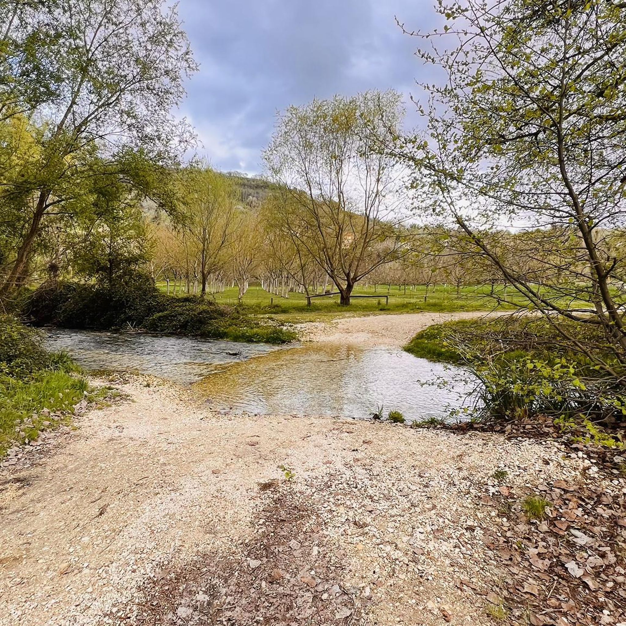
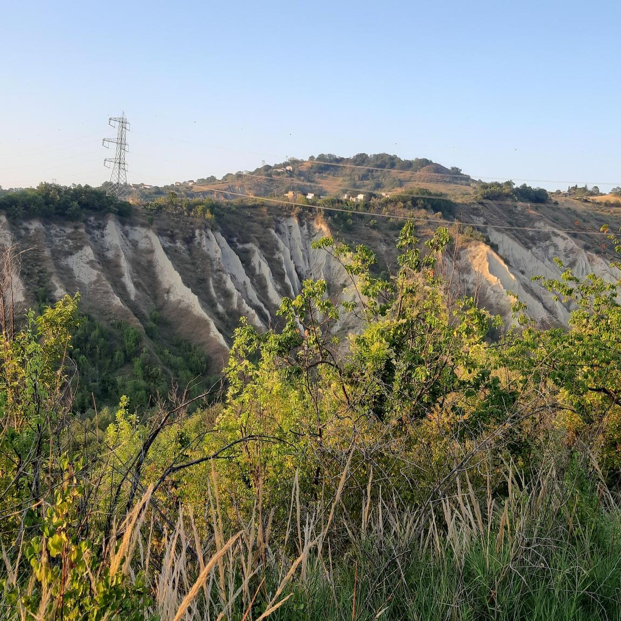
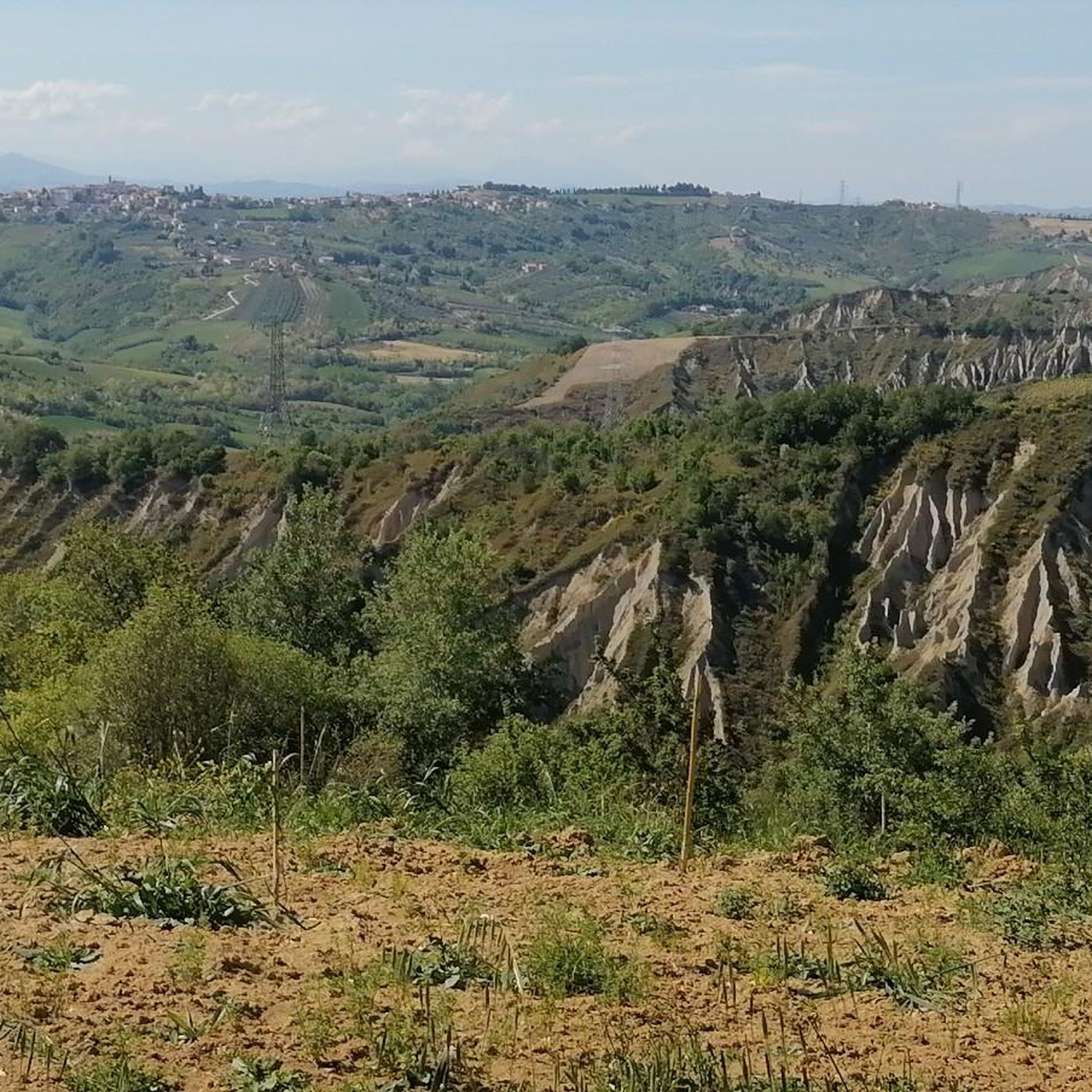
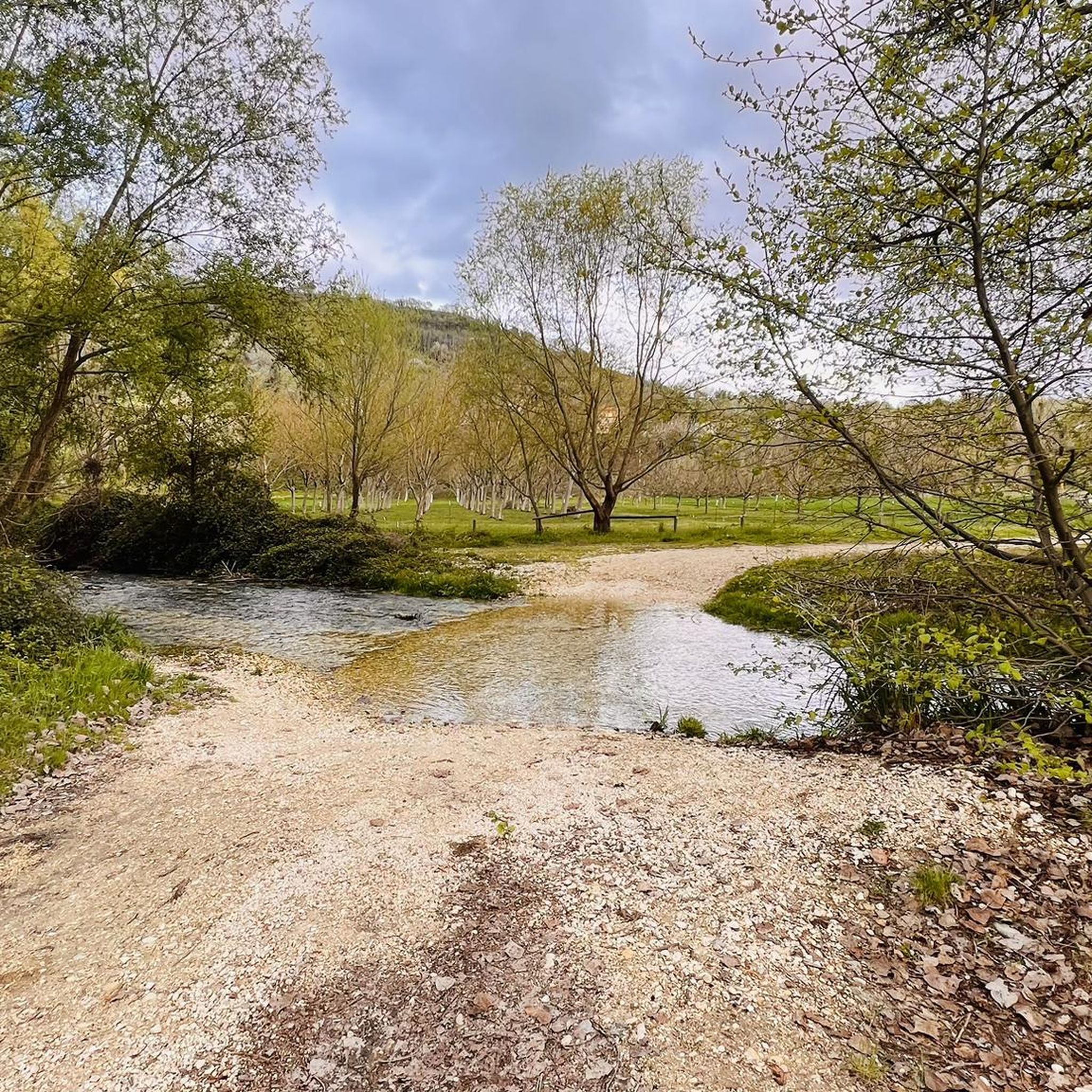
Tips from the Community

A full immersion in the wild Vesola Valley. The trail ascends through centuries-old beech trees, yew trees, and holly, offering spectacular views of the San Giovanni Waterfall, one of the highest in the Maiella. Keep your eyes peeled: squirrels leap among the branches, and near the water you might spot the rare spectacled salamander or the small carnivorous plant, the Pinguicola. The grand finale? The view from the Civita Plain, where your gaze sweeps from the woods to the Adriatic Sea. ⚠️ Technical note: Short steep sections uphill and downhill require a minimum of caution.
0
0

A stunning trail through a beech forest. It's worth noting that it's not easy to navigate due to fallen branches and trunks, as well as fairly thick foliage.
0
0


The hike is tough at times but the forest offers many emotions!
0
0
Frequently Asked Questions
How many running routes are available around Casacanditella?
There are over 30 running routes available around Casacanditella, offering a variety of experiences from moderate paths to more challenging trails. The region's diverse landscapes provide excellent opportunities for outdoor activities.
What kind of terrain can I expect on running trails near Casacanditella?
Running trails near Casacanditella feature diverse terrain, including hilly landscapes, broad views over the Foro river valley, and glimpses of the Adriatic coastline on clear days. You'll also find routes at the foot of the Apennines with rolling hills, dramatic ravines, and forests, often with the majestic Majella massif dominating the horizon.
Are there easy running routes suitable for beginners in Casacanditella?
Yes, Casacanditella offers some easily-accessible paths suitable for any fitness level, making them perfect for beginners or those looking for a more relaxed jog. While many routes have moderate to difficult grades, there are options to ease into the region's beautiful scenery.
Are there family-friendly running options around Casacanditella?
For families, it's best to look for the easier, shorter routes. The region offers paths described as suitable for 'any fitness level,' which would be ideal for a family outing. These routes allow everyone to enjoy the scenic Abruzzo landscape at a comfortable pace.
Can I bring my dog on the running trails in Casacanditella?
While specific regulations for dogs on every trail are not detailed, generally, many outdoor trails in Italy are dog-friendly, especially if dogs are kept on a leash. It's always recommended to check local signage or park rules, particularly when running near protected natural areas like the Natural Park Majella.
Are there circular running routes in the Casacanditella area?
Yes, there are several circular running routes available. An example is the Guardiagrele – Bocca di Valle Fountain loop from Guardiagrele, which is a moderate 11 km trail. These loops are great for experiencing varied scenery without retracing your steps.
What are some notable viewpoints or natural attractions along the running routes?
Many running routes offer stunning views, particularly of the Majella Mountains. For instance, the View of the Majella Mountains – Valle delle Monache Fountain loop from Comino provides excellent vistas. You can also find natural attractions like the Alento River Waterfalls or the San Giovanni Waterfall near some trails, offering beautiful natural sights.
What do other runners enjoy most about jogging in Casacanditella?
The running routes in Casacanditella are highly rated by the komoot community, with an average score of 4.3 stars. Runners often praise the diverse terrain, the stunning views of the Majella massif, and the variety of trails suitable for different ability levels, from moderate paths to more challenging mountain variants.
Are there any historical or cultural landmarks to see while running?
While the focus is on natural beauty, the region does have some landmarks. For example, the Bocca di Valle Memorial is a notable man-made monument. The broader Abruzzo region is rich in history, and some routes may pass through or near small settlements like Serramonacesca or historical structures like the Torre di Polegra.
What is the typical duration for running trails in Casacanditella?
The duration of running trails in Casacanditella varies significantly. For example, a moderate route like Path of Peace - Stage 11 can take around 1 hour, while more challenging and longer routes, such as the View of the Majella Mountains – Valle delle Monache Fountain loop from Comino, might take over 2 hours 30 minutes to complete.
Are there advanced or challenging running trails for experienced runners?
Absolutely. Casacanditella offers several challenging routes with significant elevation gain, ideal for experienced runners. The Path of Peace - Stage 11 Mountain Variant is a difficult 11.1 km trail with substantial climbs, providing a rigorous workout amidst stunning mountainous terrain.
What is the best time of year for jogging in Casacanditella?
The Abruzzo region, including Casacanditella, offers beautiful conditions for outdoor activities for much of the year. Spring and autumn generally provide pleasant temperatures for jogging. While winter running is possible, especially on lower elevation trails, higher mountain routes might be affected by snow. Summer can be warm, so early morning or late afternoon runs are often preferred.
Most popular attractions around Casacanditella

Get inspired with the komoot mobile app


Explore more
Browse the best Running Trails & Routes in other regions.
