The best walks and hikes around Turrivalignani
4.4
(366)
1,728
hikers
59
hikes
Hiking trails around Turrivalignani traverse diverse landscapes, including the Alento River Valley and distinctive calanchi (badlands) formations. The region is situated near the Majella National Park, offering access to its varied terrain of broadleaf forests and higher meadows. This area provides a range of trails suitable for exploring natural features and historical sites.
Best hiking trails around Turrivalignani
- The most popular hiking route is From Roccamorice to Eremo di San Bartolomeo – Parco Nazionale della Maiella, an 8.9 miles…
Last updated: July 5, 2026
4.7
(3)
14
hikers
Moderate hike. Good fitness required. Mostly accessible paths. Sure-footedness required.
4.6
(19)
51
hikers
7.80km
02:22
280m
280m
Moderate hike. Good fitness required. Easily-accessible paths. Suitable for all skill levels.

Sign up for free
4.5
(10)
34
hikers
Moderate hike. Good fitness required. Mostly accessible paths. Sure-footedness required.
4.2
(5)
13
hikers
9.51km
03:39
490m
490m
Hard hike. Good fitness required. Sure-footedness, sturdy shoes and alpine experience required.
4.0
(3)
21
hikers
7.75km
02:02
60m
60m
Moderate hike. Good fitness required. Easily-accessible paths. Suitable for all skill levels.
Get access to more routes and recommendations from other explorers.
Sign up for free
Already have an account?
Our route recommendations are based on thousands of hikes, rides, and runs completed by other people on komoot.
Start today with a free account
Your next adventure awaits.
Login or Signup
Tips from the Community

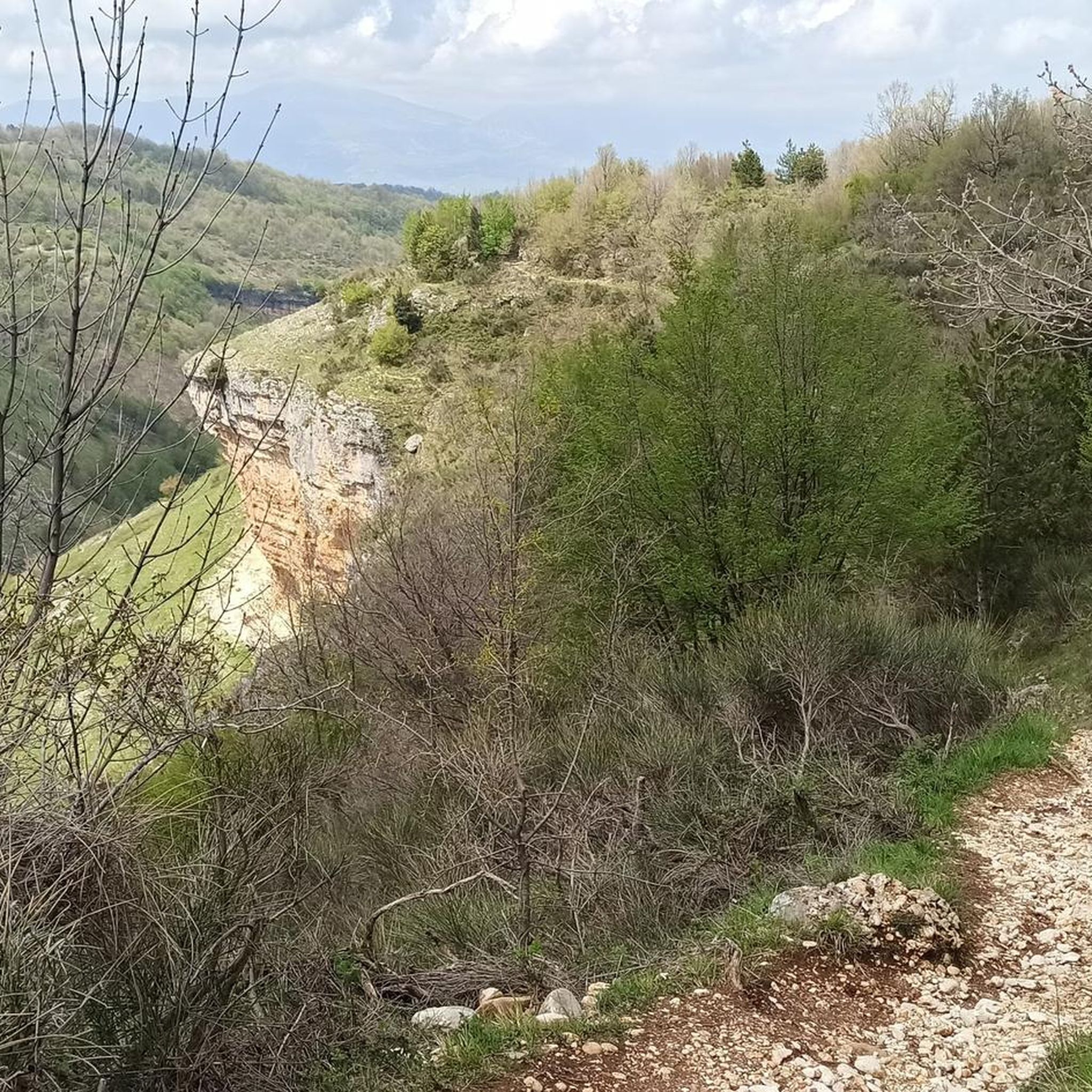
The Hermitage of San Bartolomeo in Legio is located in the Majella National Park, between the villages of Abbateggio and Roccamorice. It is a very evocative hermitage, set on the rocky wall of the Vallone dello Spirito, where the Capo La Vena stream flows. The hermitage's oratory is almost entirely embedded in the rock. There is also a 16th-century altar with a niche containing an 19th-century wooden statue depicting the saint. On August 25th, San Bartolomeo is celebrated in Roccamorice, and on this occasion, the villagers carry the wooden statue of the saint in procession from the hermitage to the village church.
1
0

The tower overlooks the valley through which the Alento River flows. Half intact (and the other half collapsed), it's certainly a landmark for a beautiful hike and a view that sweeps across these lands.
0
0

Beautiful hermitage to see.
0
0

Nice hike. Not very long and not really very demanding, but some parts of the path are quite steep. The path is definitely not suitable for strollers.
0
0

the place is magnificent and if you remain silent, you can hear the river flowing through the valley.
0
0

Staying overnight at Kokopelli is an experience worth having and from there the route to San Liberatore a Maiella is fantastic!
1
0


This place is very fascinating. The circular tower, of evident Lombard origin, stands alone overlooking the Alento valley. From here, in fact, you have a spectacular view of the surrounding landscape. It can be reached either from the Abbey of San Liberato, through the Alento gorges (shorter route), or from the state road to Pretoro (longer route).
2
0
Frequently Asked Questions
What types of hiking trails can I find around Turrivalignani?
Turrivalignani offers a diverse range of hiking trails, from easy walks to more challenging ascents. The landscape includes the serene Alento River Valley, unique 'calanchi' (badlands) formations, and proximity to the Majella National Park with its broadleaf forests and higher meadows. In total, there are over 50 hiking routes available in the area.
Are there any easy hiking routes suitable for beginners or casual walkers?
Yes, Turrivalignani has several easy hiking routes. Out of the 52 trails in the area, 7 are classified as easy, making them perfect for beginners or those looking for a relaxed stroll. These routes often explore the gentler parts of the Alento River Valley.
Which trails are suitable for families with children?
Many of the easier trails around Turrivalignani are suitable for families. While specific family-friendly routes aren't highlighted, the region's diverse terrain offers options for various ages. Consider routes that explore the Alento River Valley for a more gentle experience. Always check the route's difficulty and length before heading out with children.
Can I bring my dog on the hiking trails in Turrivalignani?
The natural environment around Turrivalignani, including the Alento River Valley and parts of the Majella National Park, is generally welcoming to dogs. However, it's always recommended to keep dogs on a leash, especially in protected areas or near wildlife habitats like those of the Lanner Falcon. Always check specific trail regulations before you go.
Are there any circular hiking routes in the area?
Yes, there are several circular hiking routes around Turrivalignani. A popular moderate option is the Torre di Polegra – Alento River Waterfalls loop from Serramonacesca, which is 4.6 miles (7.4 km) long. Another is the View of the Bartolomeo Valley – Thòlos of Valle Giumentina loop from Roccamorice, covering 8.8 miles (14.2 km).
What natural features or landmarks can I see while hiking?
Hikers can discover a wealth of natural and historical features. The Alento River Waterfalls are a significant natural highlight, easily accessible from the Abbey of San Liberatore. You can also explore the unique 'calanchi' (badlands) geological formations. Historical landmarks include the Hermitage of Saint Bartholomew in Legio, carved into rock, and the ancient Torre di Polegra, offering panoramic views.
Are there any waterfalls along the hiking trails?
Yes, the Cascate del Fiume Alento (Alento River Waterfalls) are a notable natural attraction near Turrivalignani. They are easily accessible and can be incorporated into hikes, such as the Torre di Polegra – Alento River Waterfalls loop from Serramonacesca.
What is the best time of year to go hiking in Turrivalignani?
The region around Turrivalignani offers pleasant hiking conditions for much of the year. Spring and autumn are particularly ideal, with mild temperatures and vibrant natural colors. Summer can be warm, especially in the valleys, but the shade of broadleaf forests and the cooling effect of the Alento River can make for enjoyable hikes. Winter hiking is possible, especially at lower elevations, but higher routes in Majella National Park may require specific gear due to snow.
Where can I find parking for hiking trails in Turrivalignani?
Parking availability varies by trailhead. For routes starting from villages like Roccamorice or Serramonacesca, you can typically find designated parking areas within or at the edge of the village. For trails leading to popular attractions like the Abbey of San Liberatore, there are usually parking facilities nearby. It's advisable to check specific route details for parking recommendations.
Is public transport available to access hiking routes?
While public transport options exist in the broader Abruzzo region, direct access to all trailheads around Turrivalignani via public transport can be limited. Many hikers prefer to use a car to reach starting points for greater flexibility. However, some larger towns near the Majella National Park may offer bus services that connect to certain areas. It's best to research local bus schedules if you plan to rely on public transport.
What do other hikers enjoy most about the trails in Turrivalignani?
The hiking trails around Turrivalignani are highly rated by the komoot community, with an average score of 4.4 stars from over 300 reviews. Hikers often praise the diverse landscapes, from the serene river valleys to the unique calanchi formations, and the opportunity to explore historical sites like ancient abbeys and hermitages. The variety of routes catering to different ability levels is also frequently appreciated.
Most popular routes around Turrivalignani
Most popular attractions around Turrivalignani

Get inspired with the komoot mobile app


Explore more
Browse the best Hikes in other regions.
