The best walks and hikes around Allumiere
4.4
(138)
695
hikers
15
hikes
Hiking around Allumiere offers diverse landscapes within the Tolfa Mountains, characterized by a mosaic of beech forests and open grazing lands. The region's terrain features unique geological formations, including reddish volcanic rock cliffs and fissures created by historical alum mining. Trails often lead through ancient woodlands and past historical sites, providing varied natural and cultural experiences.
Best hiking trails around Allumiere
- The most popular hiking route is From Cencelle to Ripa Maiale – ring tour, a 5.1 miles (8.3 km) trail that takes 2 hours 21 minutes to complete. This moderate route explores the area around the ancient village of Cencelle and the distinctive Ripa Maiale cliff.
- Another top favourite among local hikers is Hiking loop from Cattedrale Romanica di Leopoli-Cencelle, a moderate 5.8 miles (9.3 km) path. This trail offers views of the Romanesque Cathedral ruins and the surrounding natural landscape.
- Local hikers also love the Cava di Caolino loop from Allumiere, a 7.5 miles (12.0 km) trail leading through former mining areas, often completed in about 3 hours 34 minutes.
- Hiking around Allumiere is defined by ancient beech forests, unique volcanic rock formations like Ripa Majala, and historical alum quarries. The network of trails offers options for different ability levels, from moderate loops to more challenging routes.
- The routes in Allumiere are highly rated by the komoot community with an average score of 4.4 stars from over 100 reviews. More than 500 hikers have used komoot to explore Allumiere's varied terrain.
Last updated: October 12, 2026
3.8
(5)
28
hikers
8.27km
02:21
190m
190m
Moderate hike. Good fitness required. Mostly accessible paths. Sure-footedness required.
4.3
(4)
19
hikers
9.34km
02:39
210m
210m
Moderate hike. Good fitness required. Easily-accessible paths. Suitable for all skill levels.

4.2
(6)
36
hikers
22.5km
06:33
600m
600m
Hard hike. Very good fitness required. Easily-accessible paths. Suitable for all skill levels.
4.2
(5)
27
hikers
18.1km
05:11
430m
430m
Hard hike. Very good fitness required. Easily-accessible paths. Suitable for all skill levels.
4.3
(12)
49
hikers
12.0km
03:34
360m
360m
Moderate hike. Good fitness required. Easily-accessible paths. Suitable for all skill levels.
Get access to more routes and recommendations from other explorers.
Already have an account?
Our route recommendations are based on thousands of hikes, rides, and runs completed by other people on komoot.
Start today with a free account
Your next adventure awaits.

Tips from the Community

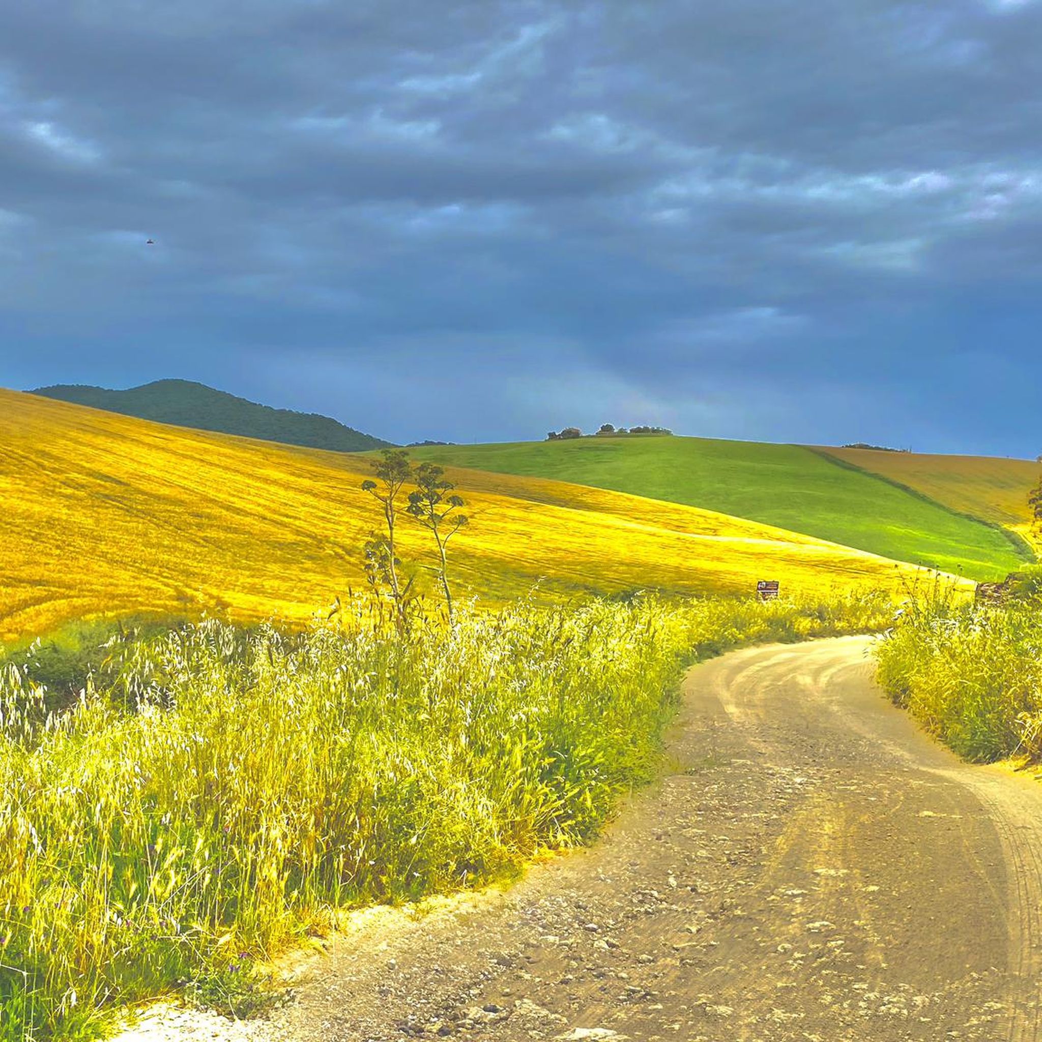
Kaolin quarry, massive abandoned mining site rich in kaolinite, clay mineral, hydrated aluminum silicate. The formation is linked to the hydrothermal alteration processes present in the area. The quarry appears of extreme interest for understanding the dynamics of spontaneous re-naturalization underway by a very rich floristic biodiversity. Interpretation point of the NW landscape of the Tolfa complex up to the Mignone valley, the sea and in the background the Tuscan archipelago to Mount Amiata.
0
0

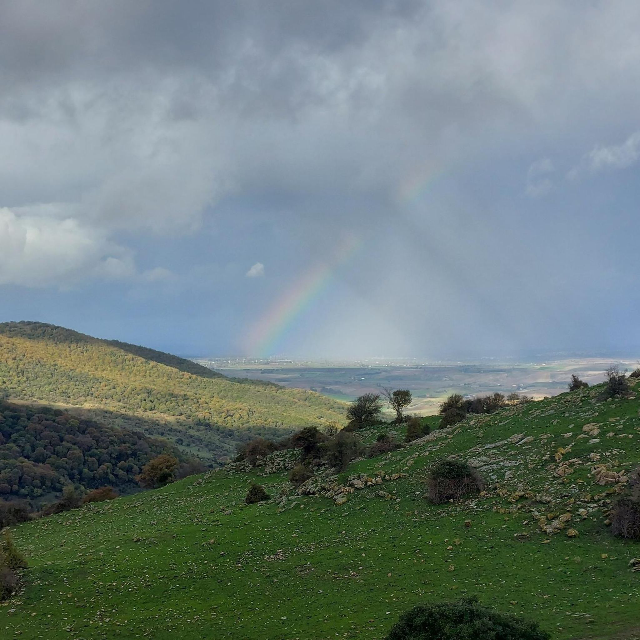
from Wiki: "According to what is reported in the Liber Pontificalis, the city was founded by Pope Leo IV on 15 August of the year 854 to give a safer seat to the citizens of Centumcellae (Civitavecchia) and the related diocese[1], being the city hit by the raids of the Saracens on the Tyrrhenian coast. According to his biographer, the pope gave the new city the name of Leopoli, but in all the documents, in the first centuries, the name of Centumcellae - civitas or castrum centumcellensis, later changed, is found in Centucelle - Cincelle - Cencelle. The new city was founded on a branch of the Via Aurelia, on an easily defensible hill between the Mignone river and its tributary Melledra, which had also been occupied in ancient times by the Etruscans. At the time of the foundation, the city walls were built, a first church, an episcopal seat, with an adjoining cemetery and wooden houses, later replaced by brick houses and buildings. The main church dedicated to Saint Peter was rebuilt larger between the end of the 11th and the beginning of the 12th century. The city was damaged by the earthquake of 1349 and the buildings were subsequently restored. It progressively declined and at the beginning of the 15th century the lands were, according to sources, "destroyed and uninhabited". In the second half of the fifteenth century the city area was used for the exploitation of the alum mines in the Tolfa mountains and in the seventeenth century it was probably the center of an agricultural company".
0
0

It is an archaeological site where the remains of a medieval city built in the mid-ninth century and abandoned in the modern age were excavated. From the web: According to what is reported in the Liber Pontificalis, the city was founded by Pope Leo IV on August 15 of the year 854 to give a safer seat to the citizens of Centumcellae (Civitavecchia) and its diocese, as the city was hit by the raids of the Saracens on the coast Tyrrhenian. According to his biographer, the pope would have given the new city the name of Lviv, but in all the documents we find, in the first centuries, the name of Centumcellae - civitas or castrum centumcellensis, later changed to Centucelle - Cincelle - Cencelle. The new city was founded on a branch of the Via Aurelia, on an easily defensible hill between the river Mignone and its tributary Melledra, which had also been occupied in ancient times by the Etruscans [2]. At the time of the foundation, the city walls were built, a first church, an episcopal seat, with an adjoining cemetery and wooden houses, subsequently replaced by masonry houses and palaces. The main church dedicated to San Pietro was rebuilt larger between the end of the 11th and the beginning of the 12th century. The city was damaged by the earthquake of 1349 and the buildings were subsequently restored. It gradually decayed and at the beginning of the 15th century the lands were "destroyed and uninhabited" according to sources. In the second half of the fifteenth century the town area was used for the exploitation of the alum mines of the Tolfa mountains and in the seventeenth century it was probably the center of a farm. The site has been the subject of excavation campaigns conducted by the chair of medieval archeology of Sapienza - University of Rome by Letizia Pani Ermini since 1994, in collaboration with several other universities and research institutes. The excavation is directed by Francesca Romana Stasolla.
1
0
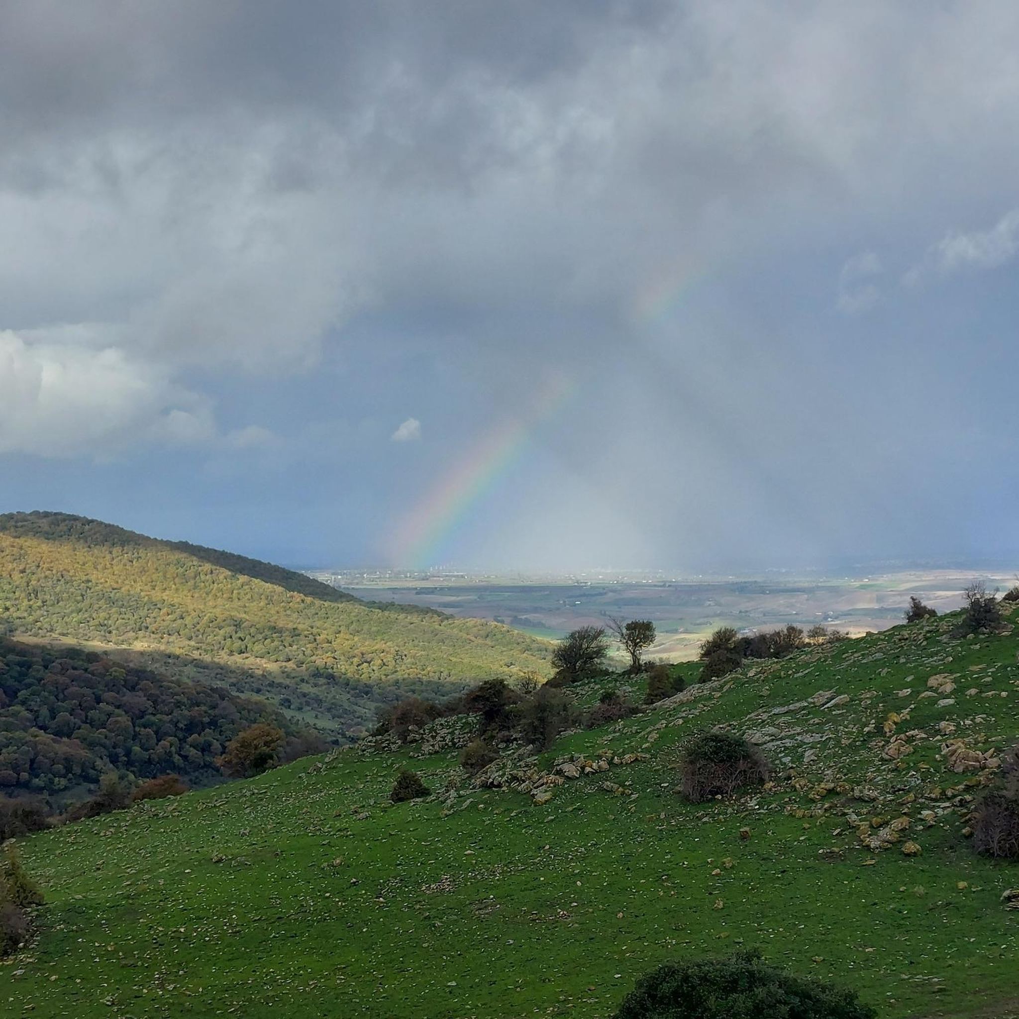
Information taken from the web: Ripa Maiale (313 m a.s.l.) is a volcanic cliff composed of ignimbrite and trachyte, which originated at the end of the Pliocene with the birth of the Tolfa mountains. Topographically this vertical wall is the final term of the Palano maquis. The area is geologically very interesting due to the presence of marine fossils (bivalve molluscs such as pectinidae and oysters) from the Miocene and volcanic breccias containing leucite crystals. The cliff has natural caves and a perennial source of water, elements that favored human settlement from the end of the Middle Palaeolithic.
2
0
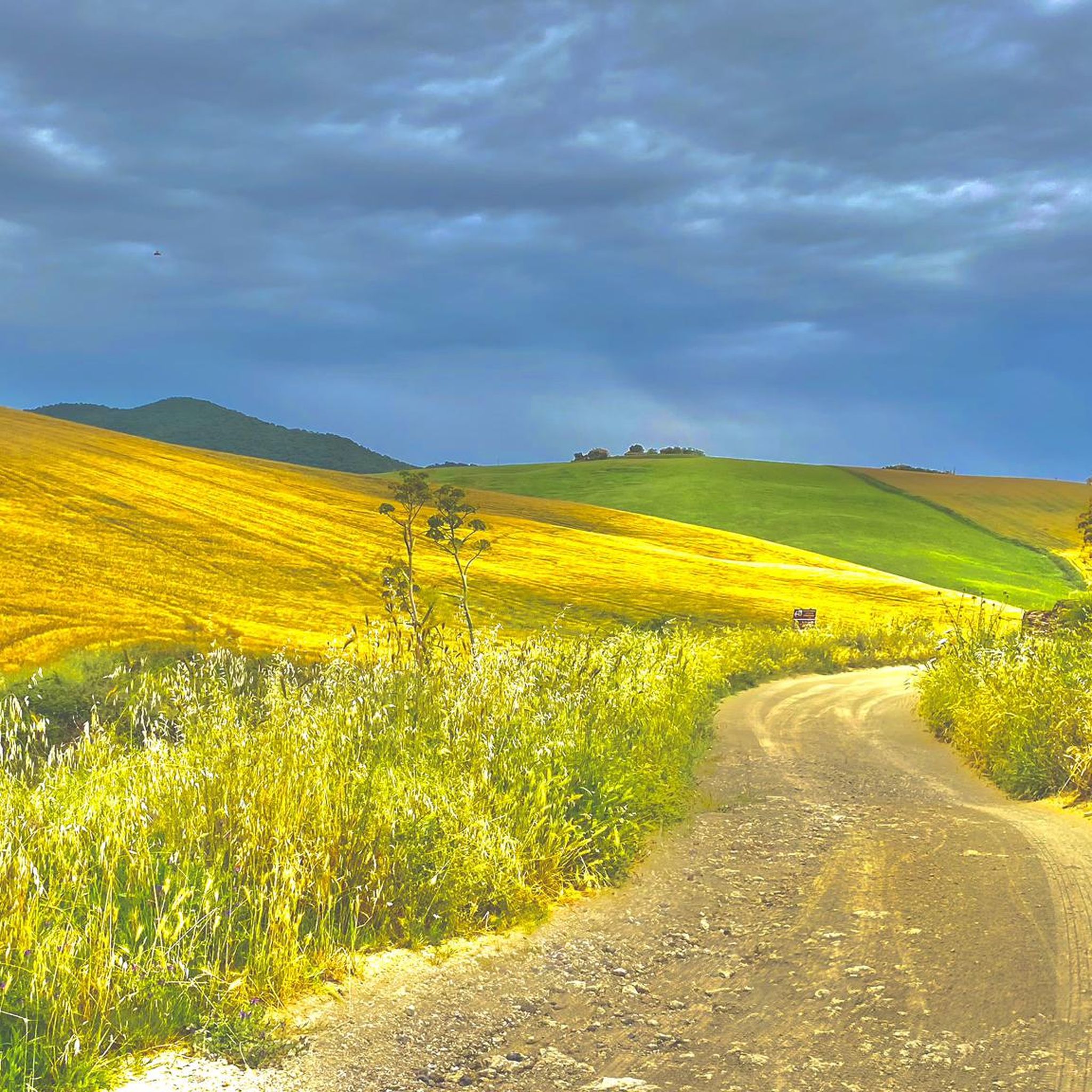
Village dating back to the 15th - 17th centuries and grown around a water mill in an important area for alum mines. Unfortunately today the village is in a state of almost total abandonment. Near the village the Church of the Immaculate Conception at the Farnesiana of the century. XIX, this too in a state of neglect, unfortunately. In what was the old granary now there is the Tenuta Farnesiana farmhouse
1
0
Frequently Asked Questions
How many hiking trails are available around Allumiere?
Allumiere offers a good selection of hiking opportunities, with over 10 trails available. These routes cater to various preferences, including easy walks, moderate excursions, and a few more challenging options for experienced hikers.
What makes hiking in Allumiere unique?
Hiking in Allumiere is unique due to its location within the Tolfa Mountains, offering a blend of diverse and unspoiled natural landscapes. You'll find ancient beech forests, open grazing lands where Maremma cows and horses roam, and distinctive geological formations like the reddish volcanic rock cliff of Ripa Majala. The area also features historical elements from centuries of alum mining, creating a landscape rich in both natural beauty and cultural heritage.
What kind of landscapes can I expect to see on the trails?
The landscapes around Allumiere are varied and picturesque. You can expect to traverse through dense beech forests, such as the protected Monumento Naturale Faggeto di Allumiere, which is remarkable for its low-altitude beech trees. Trails also lead through open spaces, past unique volcanic rock formations, and through areas shaped by historical alum mining, including old quarries.
Are there historical sites or points of interest along the hiking trails?
Yes, many trails in Allumiere weave through areas rich in history. You can explore the 'Miners' Route,' a network of paths through old alum quarries like the Cava del Silenzio. Other historical points include the ruins of the medieval city of Cencelle, sections of the ancient Traianeo Innocenziano Aqueduct, and the historic Cattedrale Romanica di Leopoli-Cencelle.
What do other hikers say about the trails in Allumiere?
The hiking trails in Allumiere are highly regarded by the komoot community, boasting an average rating of 4.4 stars from over 100 reviews. Hikers often praise the diverse terrain, the blend of natural beauty with historical sites, and the well-maintained paths that offer a rewarding outdoor experience.
Are there circular hiking routes in Allumiere?
Yes, many of the hiking routes around Allumiere are circular, offering convenient starting and ending points. Popular examples include the From Cencelle to Ripa Maiale – ring tour and the Cava di Caolino loop from Allumiere, allowing you to explore the area without retracing your steps.
Is Allumiere suitable for family-friendly hikes?
Allumiere offers several trails that are suitable for families, particularly those looking for moderate walks through scenic woodlands. The protected beech forest, Faggeto di Allumiere, provides well-marked trails and a cool environment, making it a pleasant option for families, especially during warmer months.
Can I bring my dog on the hiking trails?
Generally, dogs are welcome on the hiking trails around Allumiere, allowing you to enjoy the natural beauty with your canine companion. However, it's always advisable to keep dogs on a leash, especially in areas where Maremma cows and horses graze freely, and to respect local regulations regarding wildlife and protected areas.
What is the best time of year to go hiking in Allumiere?
The best time to hike in Allumiere is typically during spring, early summer, and autumn. Spring brings blooming wildflowers, while the ancient beech forests offer cool respite during the summer months. Autumn provides vibrant foliage. Winters can be cooler, but clear days still offer pleasant hiking conditions.
Are there any nearby attractions I can visit after my hike?
Absolutely! After your hike, you can explore several interesting attractions nearby. Consider visiting the historic Fort Michelangelo, the serene Church and Convent of San Bonaventura, or the impressive Mignone Railway Bridge. For those interested in ancient history, the ruins of Ancient Monterano are also within reach.
Is parking available near the trailheads?
Yes, parking is generally available in and around Allumiere, particularly near popular trailheads and points of interest. Specific parking information can often be found on local signage or within the details of individual komoot tours.
How can I reach the hiking trails around Allumiere by public transport?
While Allumiere is accessible by public transport, options might be limited depending on your starting point. It's recommended to check local bus schedules to Allumiere. For more flexibility in reaching specific trailheads within the Tolfa Mountains, traveling by car is often the most convenient option.
Most popular attractions around Allumiere

Get inspired with the komoot mobile app


Explore more
Browse the best Hikes in other regions.
