The best running trails around Paglieta
4.5
(18)
1,673
runners
94
runs
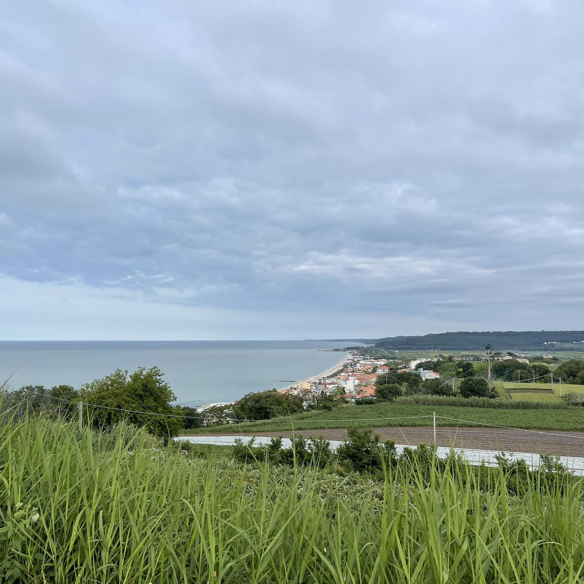
Jogging around Paglieta offers a diverse landscape for runners, characterized by its Adriatic coastline, river valleys, and gentle inland hills. The region features a mix of coastal paths, often passing by traditional trabocchi, and routes that follow the Sangro River. Elevation changes are generally moderate, providing accessible running for various fitness levels.
Best jogging routes around Paglieta
- The most popular jogging route is Promontorio Dannunziano – Spiaggia di Ripari Bardella loop from Fossacesia-Torino di Sangro, an 18.1 miles (29.1…
Last updated: October 11, 2026
298
runners
Hard run. Very good fitness required. Mostly paved surfaces. Suitable for all skill levels.
5.0
(2)
153
runners
Moderate run. Good fitness required. Mostly paved surfaces. Suitable for all skill levels.

5.0
(1)
94
runners
12.9km
01:20
40m
40m
Moderate run. Good fitness required. Mostly paved surfaces. Suitable for all skill levels.
50
runners
7.74km
00:48
20m
20m
Moderate run. Good fitness required. Mostly paved surfaces. Suitable for all skill levels.
45
runners
Hard run. Very good fitness required. Mostly paved surfaces. Suitable for all skill levels.
Get access to more routes and recommendations from other explorers.
Already have an account?
Our route recommendations are based on thousands of hikes, rides, and runs completed by other people on komoot.
Start today with a free account
Your next adventure awaits.

Tips from the Community

Suitable for Gravel or MTB, less so for road bikes on the dirt sections
0
0

Beautiful and really interesting
0
0

Via Verde dei Trabocchi – Cycling on the most beautiful balcony of the Adriatic Sea. If there is one cycling route you must ride in your life, it is the Via Verde dei Trabocchi. This breathtaking cycle path, over 50 kilometers long, is built on the spectacular route of a former railway line, right along the rugged coast of the Italian region of Abruzzo. Because the route is nowhere steep and is completely car-free, it is pure, carefree enjoyment for EVERY type of cyclist. You are literally cycling just a stone's throw from the lapping water. Historical, cool railway tunnels, hidden pebble coves (calette), and idyllic little harbors alternate at a dizzying pace. The absolute stars of the route are the iconic trabocchi: monumental, centuries-old wooden fishing platforms on stilts that hover like giant spiders above the turquoise sea. Once a clever invention of local fishermen, today they are the most unique seafood restaurants you will ever see.
6
0
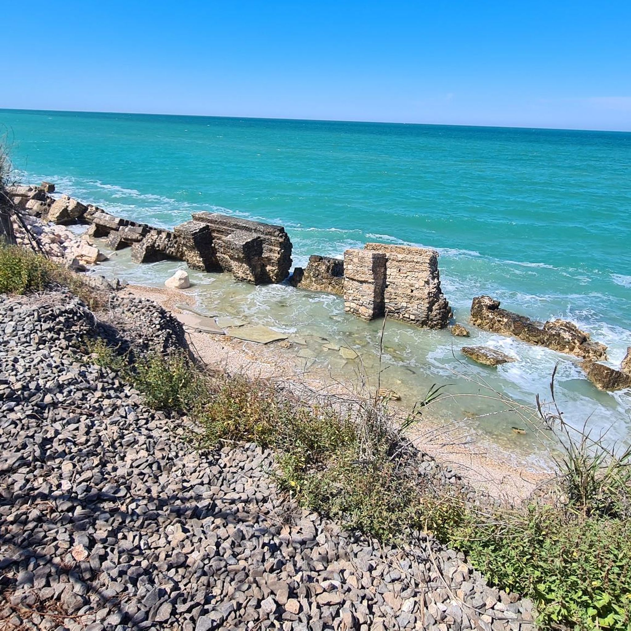
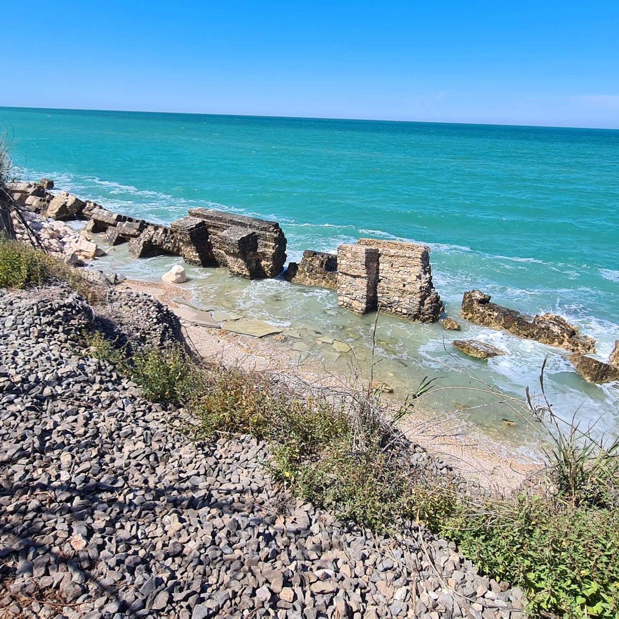
Trabocco Punta Rocciosa – Built with railway secrets. Located on the vibrant coastline of Fossacesia Marina, you'll find Trabocco Punta Rocciosa. This is not only an incredibly popular seafood restaurant where you dine above the crashing waves, but also a place with a fascinating historical secret directly connected to the cycle path you are currently riding! The railway secret of the 'fishing spiders' Did you know that this trabocco owes its rock-solid strength to the old railway line? Before 1862, the fishing platforms were built purely from fragile local wood and rope, causing them to sink into the sea at the slightest storm. When workers laid the railway line right along the coast, they left materials lying around everywhere. Resourceful fishermen saw their chance: they collected the heavy old railway sleepers, iron bolts, and telegraph cables. With these railway remnants, they anchored the trabocchi deep into the rocks. The Via Verde, which you are now cycling on, literally gave this construction its indestructible backbone in the 19th century! Why stop here? 📸 Postcard-perfect composition: the trabocco sits on a rugged, rocky headland (hence the name Rocciosa) with a beautiful little pebble beach right in front. 🍽️ Culinary hotspot: beloved for its authentic fish soups (il brodetto) and the unique experience of seeing the clear sea flowing through the gaps in the wooden floor. 🛠️ Living history: take a close look at the construction; the mix of gnarled tree trunks and industrial railway materials is nowhere as beautifully visible.
4
0
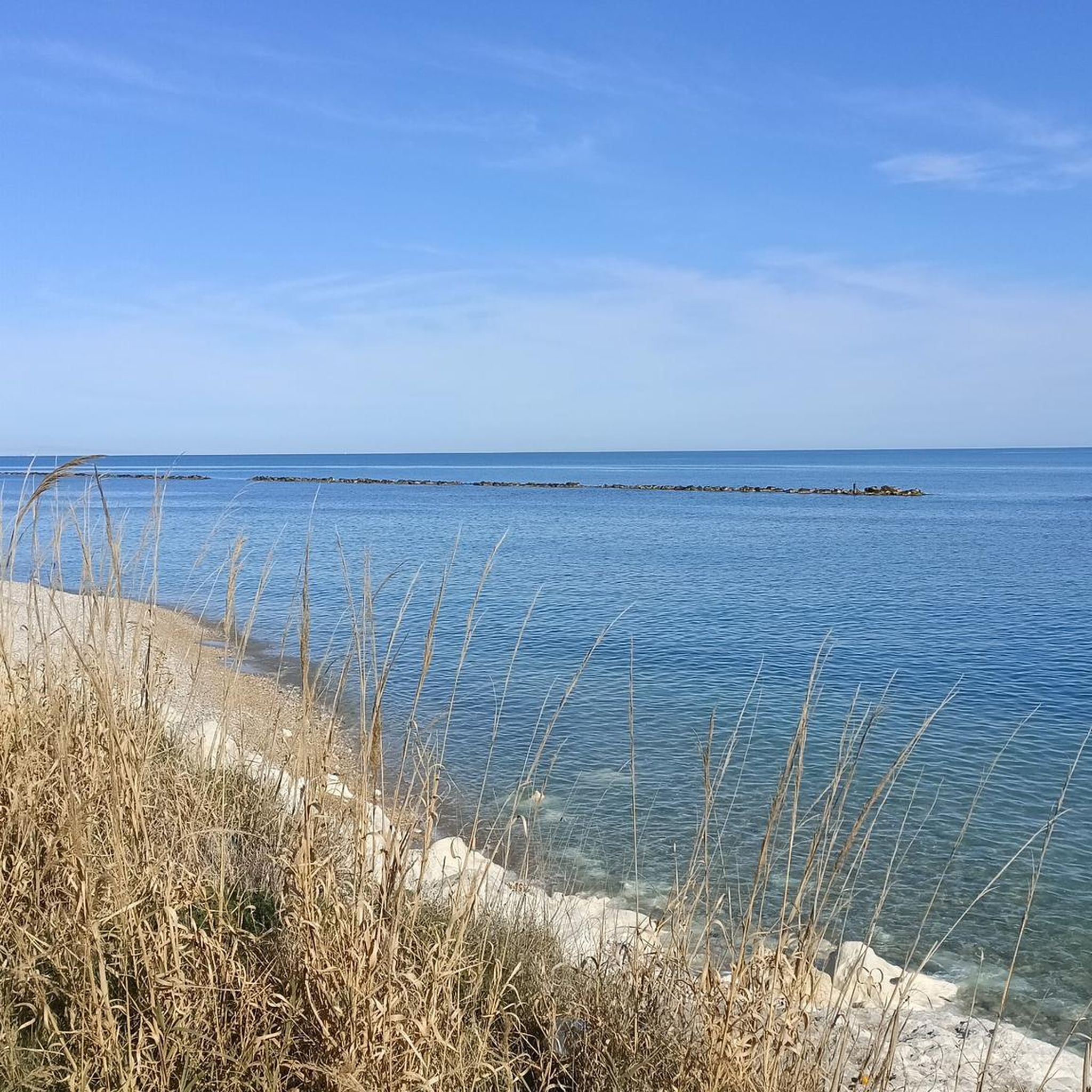
Costa dei Trabocchi – Cycling between ‘giant wooden spiders’. The Via Verde dei Trabocchi is without a doubt one of the most spectacular cycle paths in Europe! This smoothly asphalted and largely flat path is over 50 kilometers long and reuses an old, abandoned railway line. You literally cycle a stone's throw from the Adriatic Sea, right through cooling historic railway tunnels, past hidden pebble coves (calette) and idyllic little harbors. The absolute stars of this route are the trabocchi. These unique, monumental wooden fishing huts on stilts rise above the turquoise water like gigantic spiders. In the past, they were used by resourceful farming families to fish safely from dry land, and today they house the most exclusive fish restaurants in the Abruzzo region. Why you must cycle this route: 🌊 Continuous sea view: No cars, no stress, just the sound of the surf and the smell of the sea. 🐟 Culinary stops: From a quick espresso in an authentic little harbor to a lavish lunch on a wooden platform floating above the waves. 🛠️ Unique heritage: The route breathes history and brings you face to face with centuries-old fishing traditions. 💡 Komoot tip! Rent an e-bike, bring your swimwear for a refreshing dip in one of the hidden bays, and don't forget to book your fish lunch on a trabocco weeks in advance!
5
0
Flat and car-free: The route is laid out on a former railway line directly on the Adriatic Sea. It is fully asphalted, flat, and 100% car-free, making it perfect for any type of cyclist (from road cyclists to families).Unique setting: You cycle right past the iconic trabocchi: wooden, spider-like fishing platforms that hover over the waves. At many of these platforms, you can stop nowadays for a unique lunch or dinner with fresh fish.
6
0
The stretch around San Vito Chietino and Marina di San Vito is considered the absolute highlight of the route. Here, spectacular views, historic railway tunnels, and the largest concentration of trabocchi alternate. An unforgettable coastal tour not to be missed.
5
0
Cycling through historic railway tunnels 🚂🚴 One of the most special experiences on the Via Verde dei Trabocchi is cycling through the beautifully restored railway tunnels. These impressive passages, carved out of brick and tuff stone, literally take you back in time. You follow the original route of the Ferrovia Adriatica from 1863 here. For more than 140 years, steam and diesel trains ran here right along the coast and the waves, until the railway line was moved inland in 2005. Today, the tunnels have been transformed into comfortable cycle paths with a smooth surface and automatic LED lighting. On warm summer days, the thick stone walls provide a wonderful natural coolness. Some tunnels still have the old openings to the sea, which now serve as beautiful viewing windows onto the azure Adriatic Sea. A unique combination of history, adventure, and spectacular views along the way.
5
0
Frequently Asked Questions
How many running routes are available around Paglieta?
There are over 60 running routes in the Paglieta area, offering a diverse range of options for different fitness levels. This includes 6 easy routes, 35 moderate routes, and 25 difficult routes.
What do other runners enjoy most about the trails in Paglieta?
The running routes in Paglieta are highly rated by the komoot community, with an average score of 4.2 stars. Runners often praise the diverse landscape, which includes scenic coastal paths, river valleys, and gentle inland hills, providing varied and engaging runs.
Are there easy running trails suitable for beginners in Paglieta?
Yes, Paglieta offers several easy running trails perfect for beginners. There are 6 routes specifically categorized as easy, providing accessible options to enjoy the region's scenery without significant elevation changes.
Can I find challenging long-distance running trails near Paglieta?
Absolutely. For experienced runners seeking a challenge, Paglieta features 25 difficult routes. An example is the Promontorio Dannunziano – Spiaggia di Ripari Bardella loop from Fossacesia-Torino di Sangro, an 18.1-mile (29.1 km) trail that explores the scenic Promontorio Dannunziano and coastal beaches.
Are there any circular running routes in Paglieta?
Yes, many of the running routes in Paglieta are circular, allowing you to start and finish at the same point. For instance, the Running loop from Fossacesia is a popular 7.0-mile (11.3 km) coastal trail.
What kind of scenic views can I expect on the running routes?
Paglieta's running routes offer beautiful scenic views, particularly along the Adriatic coastline, where you'll often pass traditional trabocchi (fishing structures). Routes also follow the Sangro River, providing picturesque river valley landscapes.
Are there any interesting landmarks or attractions along the running routes?
Yes, several routes pass by notable landmarks. For example, the Trabocco Punta Cavalluccio – Trabocco Punta Torre loop from Da Livio arrosticini takes you past historic fishing structures like Trabocco Punta Torre. The wider region also features attractions like the Abbey of St John in Venere and the Costa dei Trabocchi Cycle Path.
Can I run with my dog on the trails in Paglieta?
While many outdoor areas in Italy are dog-friendly, it's always best to check local regulations for specific trails or protected areas. Generally, dogs are welcome on leash on most public paths, but ensure they are well-behaved and you clean up after them.
What is the best time of year for jogging in Paglieta?
The spring and autumn months (April-May and September-October) generally offer the most pleasant weather for jogging in Paglieta, with mild temperatures. Summer can be hot, especially midday, so early morning or late evening runs are recommended. Winter can be cooler but still suitable for running, particularly on sunny days.
Are there any running routes that follow the Sangro River?
Yes, you can find running routes that follow the Sangro River. The Fiume Sangro loop from Riserva Naturale Regionale della Lecceta di Torino di Sangro is a moderate 7.8-mile (12.5 km) trail that explores the riverbanks and surrounding natural areas.
Are there any running routes near historical sites or castles?
Yes, some routes offer proximity to historical points of interest. For example, the Running loop from Castello di Septe is a moderate 5.6-mile (9.0 km) route that starts near the historic Castello di Septe, offering a blend of exercise and local heritage.
Most popular attractions around Paglieta

Get inspired with the komoot mobile app


Explore more
Browse the best Running Trails & Routes in other regions.
