The best road cycling routes around Rayerschied
4.6
(128)
1,596
riders
160
rides
Road cycling around Rayerschied offers routes through the Hunsrück region, characterized by rolling hills, dense woodlands, and river valleys, including the Moselle. The terrain features a mix of paved roads, some following former railway lines, and others ascending to provide panoramic views. Elevations vary, with some routes including significant climbs.
Best road cycling routes around Rayerschied
- The most popular road cycling route is Gicht Bridge Gräfenbacher Hütte – Asphalt Road Parallel to B50 loop from Bergenhausen, a 37.7 miles (60.7 km) trail that takes 2 hours 52 minutes to complete. This moderate route features well-maintained asphalt roads.
- Another top favourite among local road cyclists is View of Cochem Castle (Reichsburg Cochem) – View of Karden on the Moselle loop from Horn, a difficult 58.1 miles (93.6 km) path. This route offers scenic views of Cochem Castle and the Moselle river valley, involving significant elevation changes.
- Local road cyclists also love the Creative garden near Alterkülz – Hunsrück Railway Cycle Path loop from Kisselbach, a 25.6 miles (41.2 km) trail leading through the Hunsrück region, often completed in about 1 hour 48 minutes. This moderate route utilizes a former railway line, providing a consistent surface.
- Road cycling around Rayerschied is defined by routes through the Hunsrück low mountain range, along river valleys like the Moselle, and on former railway cycle paths. The network offers options for easy, moderate, and difficult ability levels.
- The routes in Rayerschied are highly rated by the komoot community with an average score of 4.6 stars from 109 reviews. More than 1500 road cyclists have used komoot to explore Rayerschied's varied terrain.
Last updated: October 9, 2026
5.0
(5)
35
riders
Moderate road ride. Good fitness required. Some segments of this route may be unpaved and difficult to ride.
35
riders
92.5km
04:34
1,200m
1,200m
Hard road ride. Very good fitness required. Mostly well-paved surfaces and easy to ride.

5.0
(1)
31
riders
48.9km
02:24
720m
720m
Moderate road ride. Good fitness required. Mostly well-paved surfaces and easy to ride.
5.0
(1)
15
riders
Moderate road ride. Good fitness required. Mostly well-paved surfaces and easy to ride.
5.0
(2)
13
riders
Hard road ride. Very good fitness required. Mostly well-paved surfaces and easy to ride.
Get access to more routes and recommendations from other explorers.
Already have an account?
Our route recommendations are based on thousands of hikes, rides, and runs completed by other people on komoot.
Start today with a free account
Your next adventure awaits.
Tips from the Community

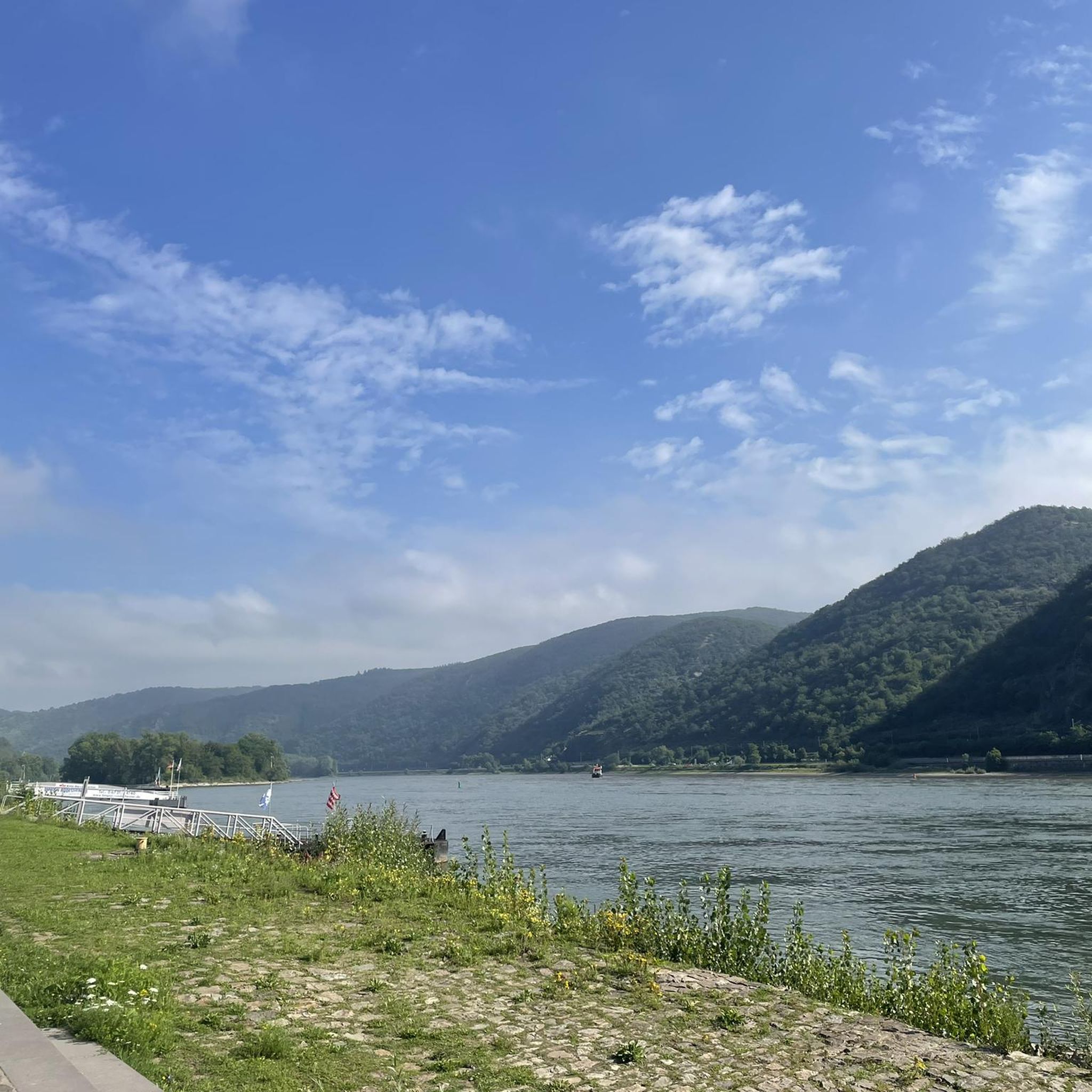
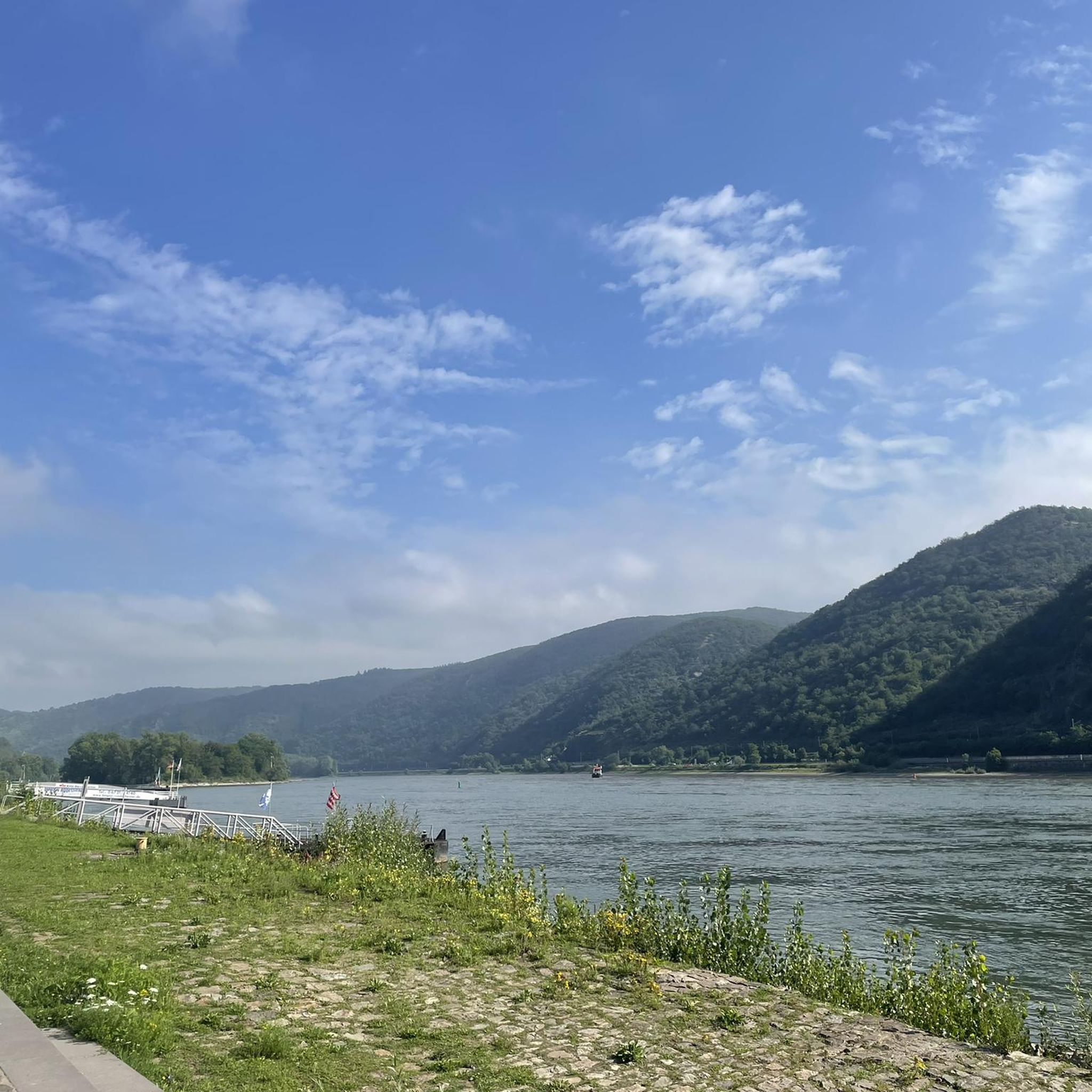
From here you have a great view of Karden and the Mosel
1
0

and again a great view of one of the many castles in the Moselle valley
1
0

400 BC, the Celts settled here, later the Romans, in 1259 Kirchberg received town rights
0
0

The Old Town Hall is a neo-Gothic brick building from 1873
0
0

Very beautiful castle complex 👍
0
0

Great castle ruin above the Moselle.
1
0
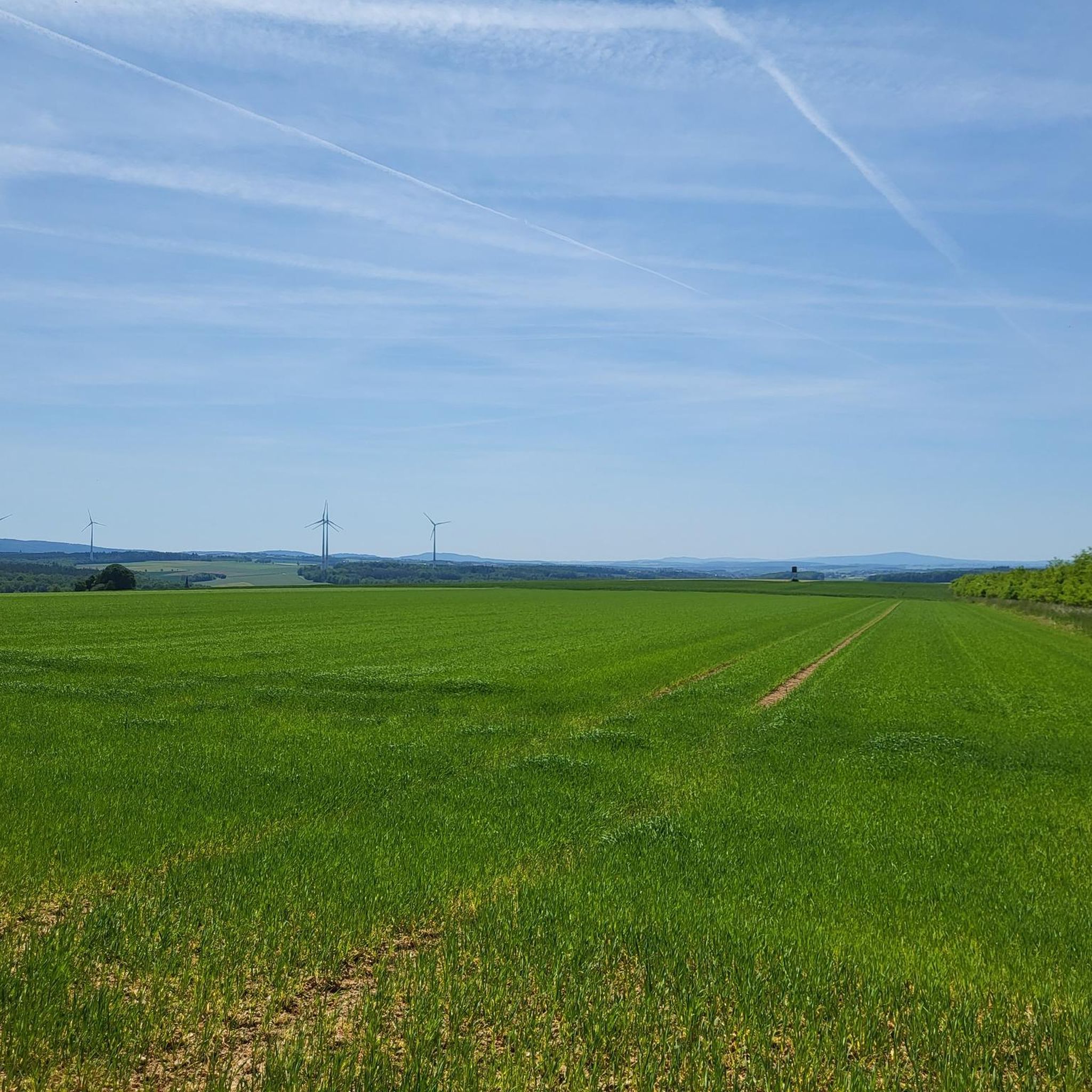
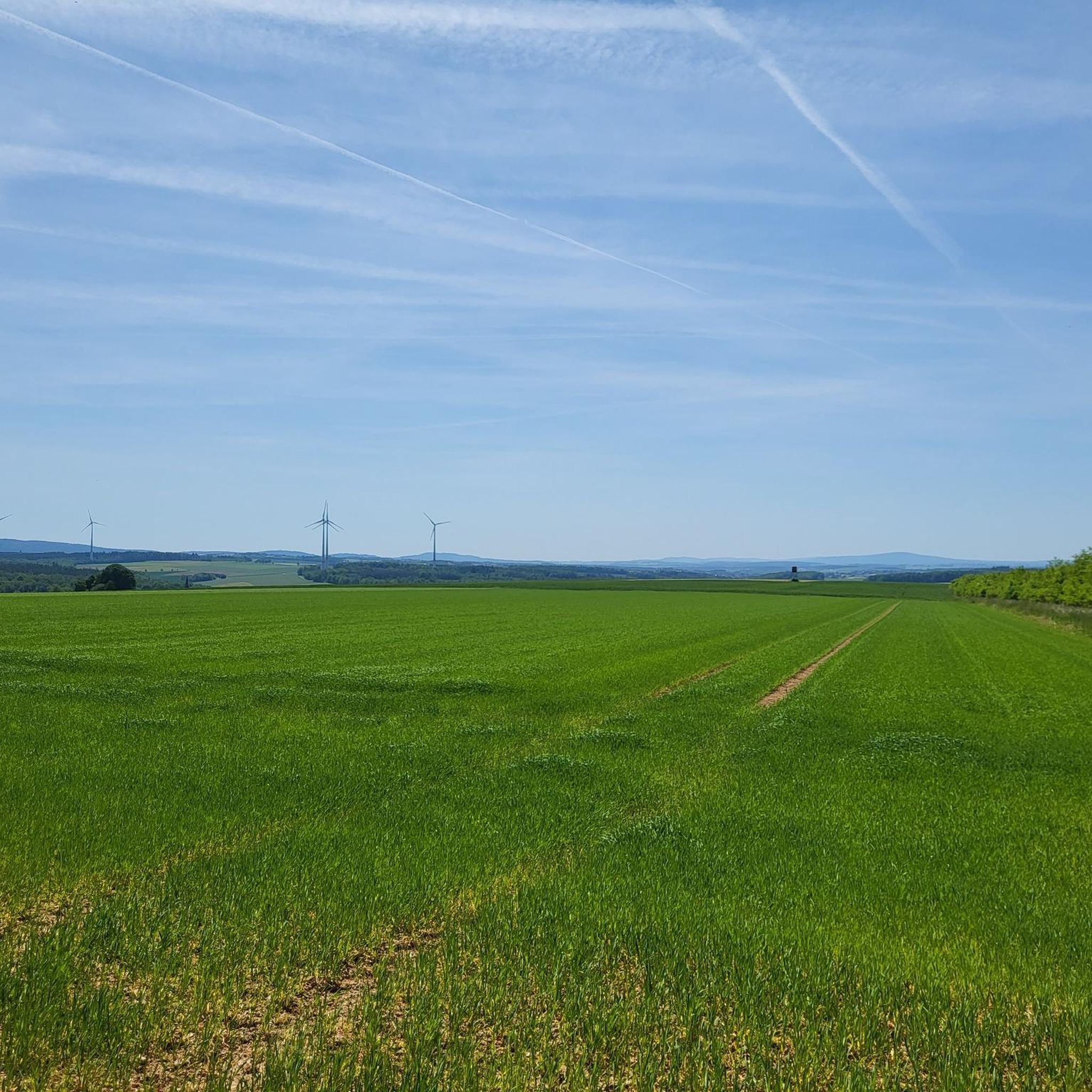
A very nice area for biking.
0
0
Frequently Asked Questions
How many road cycling routes are available around Rayerschied, and what are their difficulty levels?
Rayerschied offers a wide selection of road cycling routes, with over 180 options. These include 27 easy routes, 104 moderate routes, and 51 difficult routes, catering to various skill levels.
Are there suitable road cycling routes for beginners in the Rayerschied area?
Yes, beginners can find several enjoyable routes. The region features 27 easy road cycling routes, often utilizing flatter sections or former railway lines, which provide a consistent surface.
What kind of challenges can advanced road cyclists expect around Rayerschied?
Advanced cyclists will find 51 difficult routes with significant elevation changes, particularly in the Hunsrück low mountain range and along the Moselle river valleys. For example, the View of Cochem Castle (Reichsburg Cochem) – View of Karden on the Moselle loop from Horn is a challenging 58.1-mile route with over 1200 meters of ascent, offering panoramic views.
Are there any long-distance road cycling routes near Rayerschied?
Yes, for those seeking longer rides, routes like the Hunsrück Railway Cycle Path – Maria Engelport Monastery loop from Niederkumbd cover over 100 kilometers, taking you through varied landscapes and offering a substantial challenge.
Are there family-friendly road cycling options in the Rayerschied region?
While specific 'family-friendly' routes are not explicitly categorized, the 27 easy routes available, particularly those utilizing former railway lines like sections of the Hunsrück Railway Cycle Path, tend to have gentler gradients and consistent surfaces, making them more suitable for families.
What are some notable landmarks or points of interest along road cycling routes in Rayerschied?
Cyclists can explore various points of interest. Along some routes, you might encounter historical sites such as Pfalzfeld station or the Historic Köf Locomotive at Former Lingerhahn Station. The Schinderhannes Cycle Path also features attractions like the Simmern Tunnel.
Are there any circular road cycling routes available around Rayerschied?
Many routes in the region are designed as loops, allowing you to start and finish in the same location. An example is the Creative garden near Alterkülz – Hunsrück Railway Cycle Path loop from Kisselbach, a moderate 25.6-mile circular trail.
What is the best time of year for road biking in Rayerschied?
The Hunsrück region, including Rayerschied, is generally best for road cycling from spring through autumn. The weather is milder, and the landscapes are vibrant. Summer offers longer daylight hours, while spring and autumn provide pleasant temperatures and beautiful scenery.
What do other road cyclists enjoy the most about road cycling in Rayerschied?
The area is highly rated by the komoot community, with an average score of 4.6 stars from 109 reviews. Reviewers often praise the diverse terrain, from rolling hills to river valleys, and the well-maintained asphalt roads, including those on former railway lines.
Are there any routes that offer particularly scenic viewpoints?
Yes, several routes provide stunning vistas. The View of Cochem Castle (Reichsburg Cochem) – View of Karden on the Moselle loop from Horn, for instance, offers breathtaking views of Cochem Castle and the Moselle river valley as you navigate its challenging climbs.
Where can I find places to rest or take a break along the routes?
The region has various huts and shelters that can serve as resting points. Examples include the Emmerich Hut and the Köhlerhütte shelter with drink service, offering opportunities for a break during your ride.
Most popular routes around Rayerschied
Most popular attractions around Rayerschied

Get inspired with the komoot mobile app


Explore more
Browse the best Road cycling routes in other regions.
