The best cycling routes around Altino
4.4
(45)
554
riders
12
rides
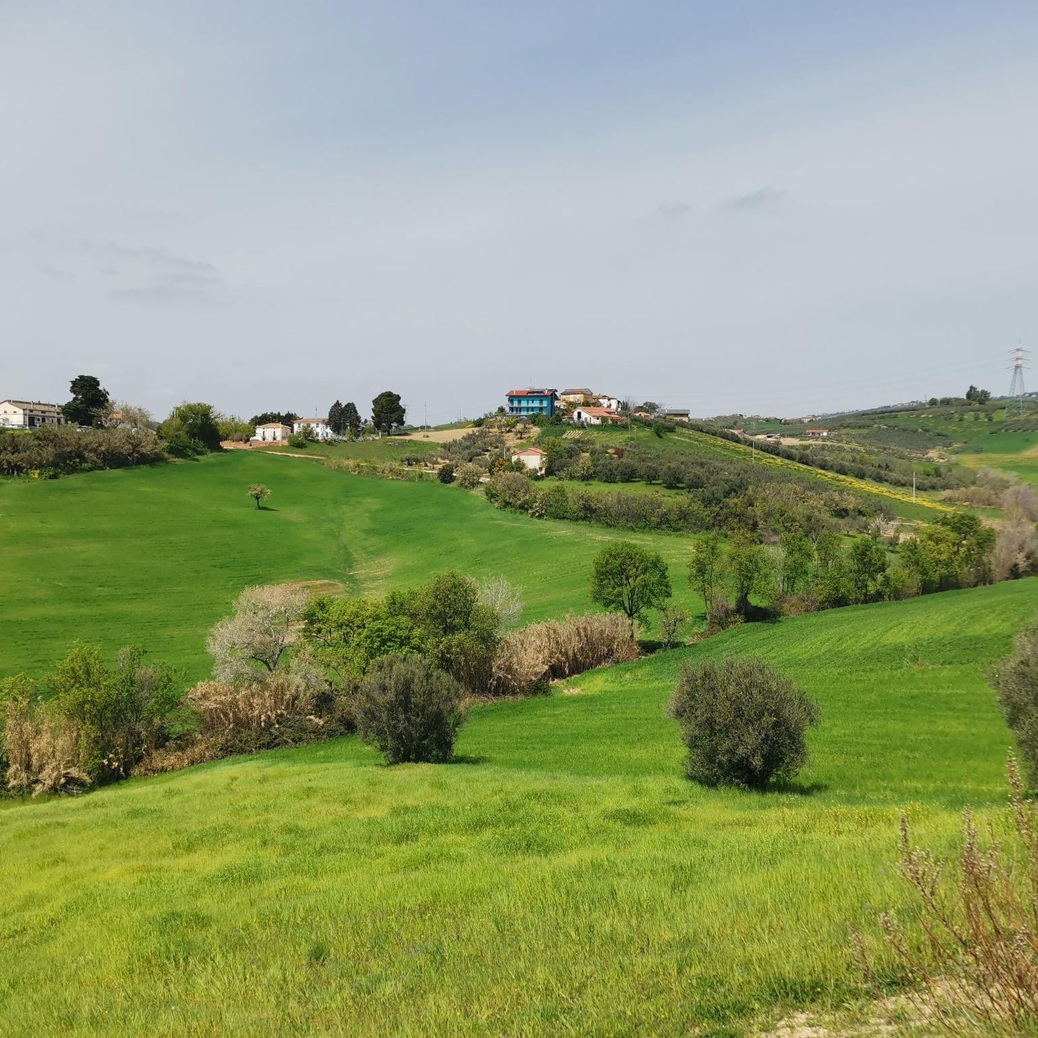
Touring cycling around Altino offers diverse routes through a landscape characterized by a rocky spur overlooking the Aventino river valley. The region extends towards the Adriatic coast and the foothills of the Maiella mountains, providing varied terrain for cyclists. The surrounding area features orchards, vineyards, and olive groves, with wooded hills like Mount Pallano contributing to the natural scenery. Lake Serranella, a significant natural area, is also nearby.
Best touring cycling routes around Altino
- The most popular touring cycling route…
Last updated: July 5, 2026
5.0
(1)
12
riders
45.7km
03:19
990m
990m
Hard bike ride. Very good fitness required. Mostly paved surfaces. Suitable for all skill levels.
11
riders
39.6km
02:23
280m
280m
Moderate bike ride. Good fitness required. Mostly paved surfaces. Suitable for all skill levels.

Sign up for free
11
riders
Moderate bike ride. Good fitness required. Mostly paved surfaces. Suitable for all skill levels.
9
riders
67.4km
04:13
610m
610m
Hard bike ride. Very good fitness required. Mostly paved surfaces. Suitable for all skill levels.
5.0
(1)
8
riders
36.6km
02:28
600m
600m
Hard bike ride. Very good fitness required. Mostly paved surfaces. Suitable for all skill levels.
Get access to more routes and recommendations from other explorers.
Sign up for free
Already have an account?
Our route recommendations are based on thousands of hikes, rides, and runs completed by other people on komoot.
Start today with a free account
Your next adventure awaits.
Login or Signup

Tips from the Community

The Ciclovia Adriatica in Abruzzo (better known as Bike to Coast) is a 131-kilometer cycle path that covers the entire coastline of the Abruzzo region. The route runs from Martinsicuro (coastal border with Marche) to San Salvo (border with Molise). The route is mostly flat, mostly car-free, and crosses 19 coastal municipalities.
3
0


The Adriatic Cycle Route runs along the coast, passing the edge of the Santo Stefano pine forest. Not far away is the mouth of the Sinello River, which flows into the Adriatic.
2
0

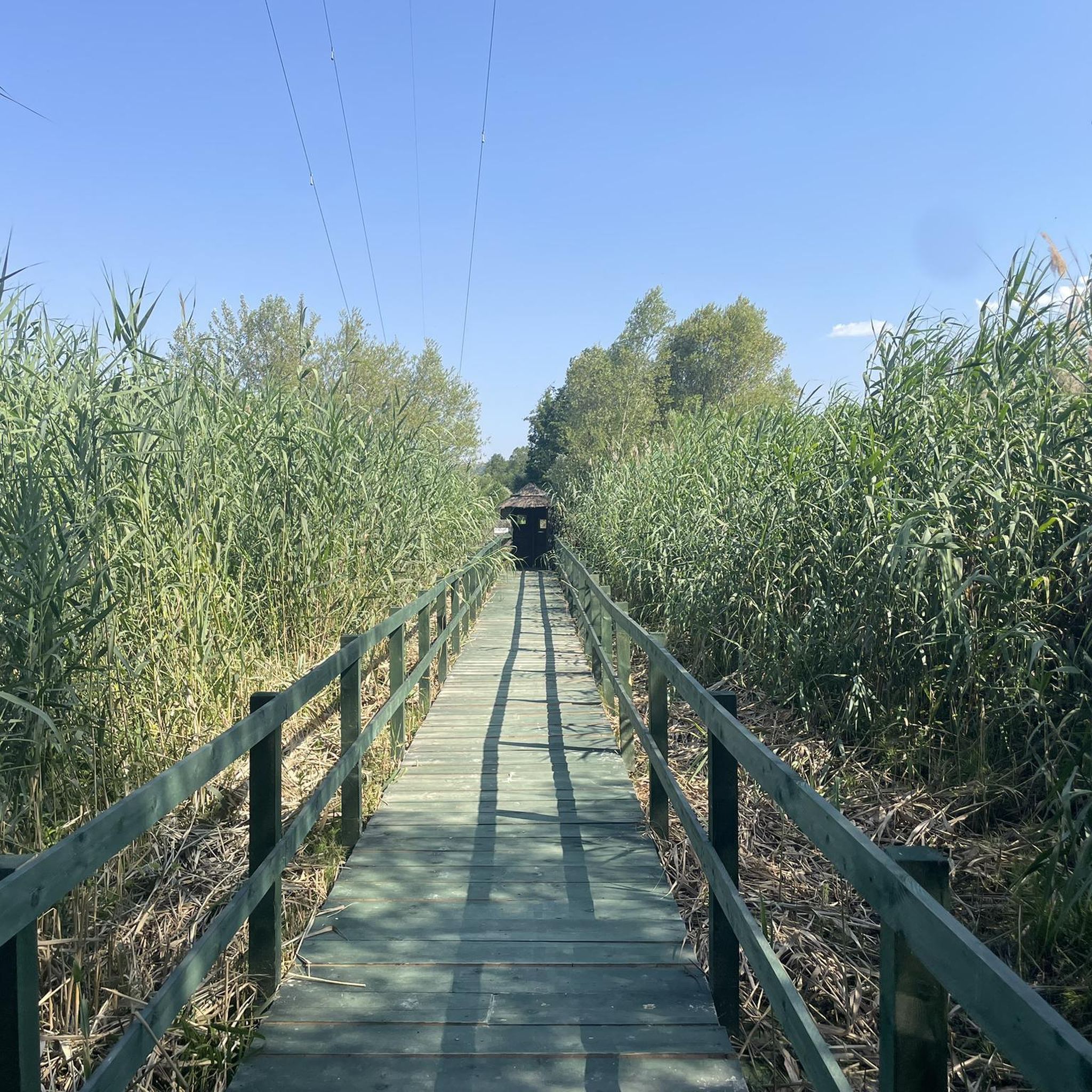
Main entrance to the Lecceta. There are several easy trails within the forest.
0
0

Lake Bomba is an artificial basin created on the Sangro River by an earth dam located in the municipality of Bomba.
0
0

You can also continue, there is only gravel for a couple of km going north
3
0

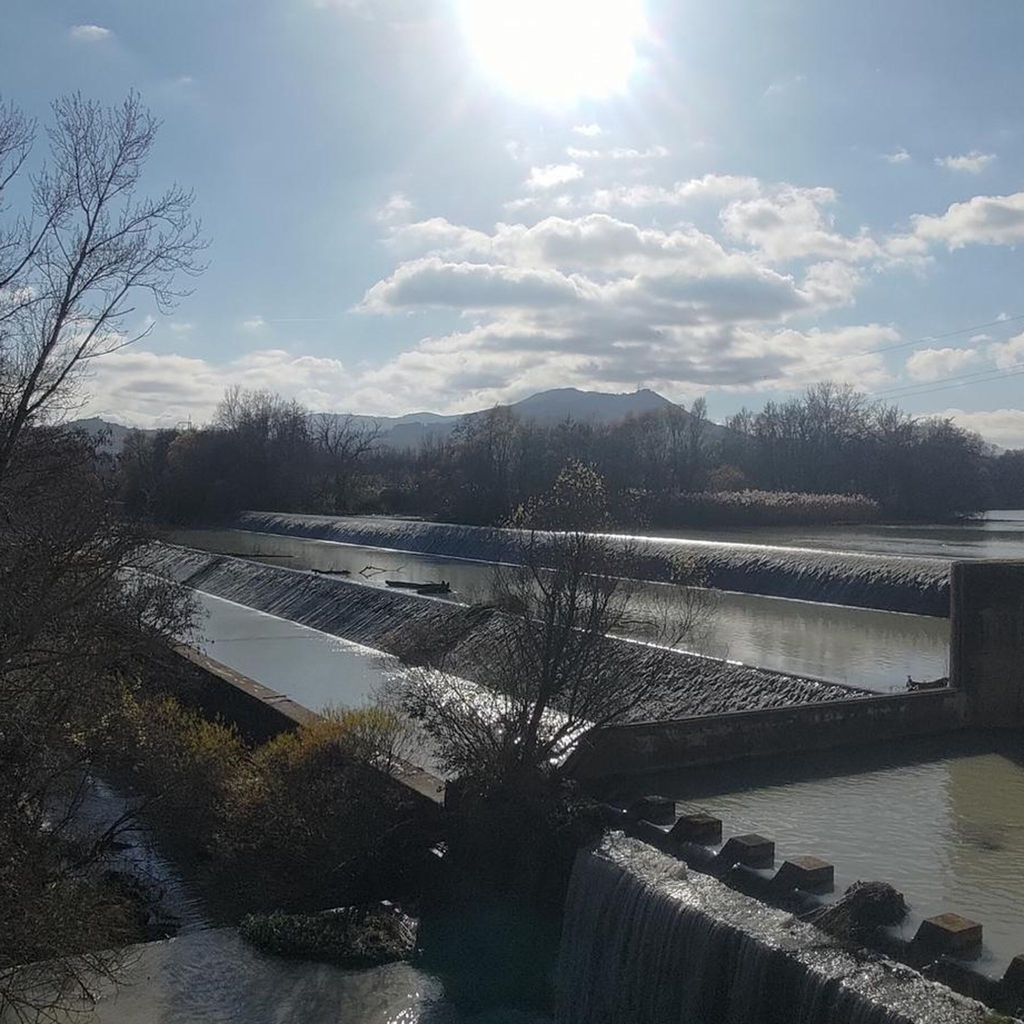
Between Fossacesia and Vasto, the Ciclovia Adriatica allows you to cycle constantly without motorized traffic and along the seashore. It is mostly flat and suitable for families and people with little experience on the pedals. Not far from here, moreover, there is the mouth of the Osento river in the Adriatic.
0
0
The Adriatica cycle route is an interregional cycle path project that runs along the Adriatic coast.
2
1
Frequently Asked Questions
How many touring cycling routes are available around Altino?
There are over 10 touring cycling routes around Altino, offering diverse options for exploring the region. These routes are highly rated by the komoot community, with an average score of 4.3 stars.
What kind of terrain can I expect on touring cycling routes in Altino?
Touring cycling routes in Altino traverse a varied landscape. You'll find paths through the scenic Aventino river valley, along the Adriatic coast, and into the foothills of the Maiella mountains. The area is characterized by orchards, vineyards, olive groves, and wooded hills like Mount Pallano, offering a mix of ascents and flatter sections.
Are there touring cycling routes suitable for beginners or families in Altino?
While many routes around Altino feature significant elevation, there are moderate options available. For example, the "IL BUCANIERE" RESTAURANT – Fountain at Oasi di Serranella loop from Piane d'Archi is a moderate 25.2-mile (40.6 km) path that leads through the natural area of Oasi di Serranella, which could be a good option for those seeking a less strenuous ride.
What are some notable natural features or viewpoints along the touring cycling routes?
Many routes offer stunning panoramic views. You can expect vistas of the Aventino river valley, the Adriatic coast, and the majestic Maiella mountains. The Castello di Roccascalegna – View of Casoli loop from Altino, for instance, provides significant elevation gain for expansive views. The natural area of Lake Serranella and the WWF Oasis of Serranella are also prominent features in the region.
What historical or cultural attractions can I visit while cycling near Altino?
The region offers several points of interest. You can cycle towards the historic Castello di Roccascalegna, a medieval fortress offering scenic views. Other attractions include the Church of San Salvatore and the Church of the Madonna delle Grazie. The historic center of Altino itself is charming, with traditional architecture.
Are there any coastal touring cycling options near Altino?
Yes, Altino is close enough to the Adriatic coast to offer coastal cycling experiences. The Trabocco Punta Cavalluccio – Adriatic Cycle Route loop from Altino is a 53.3-mile (85.7 km) trail that takes you through coastal areas and along the Adriatic Cycle Route. The broader Abruzzo region is also home to the
What is the best time of year for touring cycling in Altino?
The spring and autumn months generally offer the most pleasant conditions for touring cycling in Altino, with milder temperatures and beautiful landscapes. Summers can be warm, especially in the valleys, while winters might bring cooler temperatures and occasional rain, though the coastal areas remain milder.
Are there any circular touring cycling routes around Altino?
Yes, many of the touring cycling routes around Altino are designed as loops, allowing you to start and end in the same location. Examples include the Castello di Roccascalegna – View of Casoli loop from Altino and the Trabocco Punta Cavalluccio – Adriatic Cycle Route loop from Altino.
What are the typical durations for touring cycling routes in Altino?
Route durations vary depending on distance and elevation. For example, the Castello di Roccascalegna – View of Casoli loop from Altino typically takes around 3 hours and 19 minutes, while the longer Trabocco Punta Cavalluccio – Adriatic Cycle Route loop from Altino can take about 5 hours and 38 minutes.
Are there any routes that explore the olive groves and vineyards mentioned in the region?
Yes, the landscape around Altino is rich with orchards, vineyards, and olive groves. Many touring cycling routes traverse these agricultural areas, offering picturesque scenery and a chance to experience the region's agricultural heritage. The general network of routes around Altino is known for exploring these characteristic landscapes.
What is the elevation gain like on touring cycling routes in Altino?
The elevation gain on routes around Altino can be significant, especially on more difficult trails. For instance, the Castello di Roccascalegna – View of Casoli loop from Altino involves nearly 1,000 meters of ascent, providing a challenging ride with rewarding views. Moderate routes will have less, such as the "IL BUCANIERE" RESTAURANT – Fountain at Oasi di Serranella loop from Piane d'Archi with around 285 meters of elevation gain.
Most popular attractions around Altino

Get inspired with the komoot mobile app


Explore more
Browse the best Cycling routes in other regions.
