The best road cycling routes around Ateleta
4.6
(58)
1,174
riders
34
rides
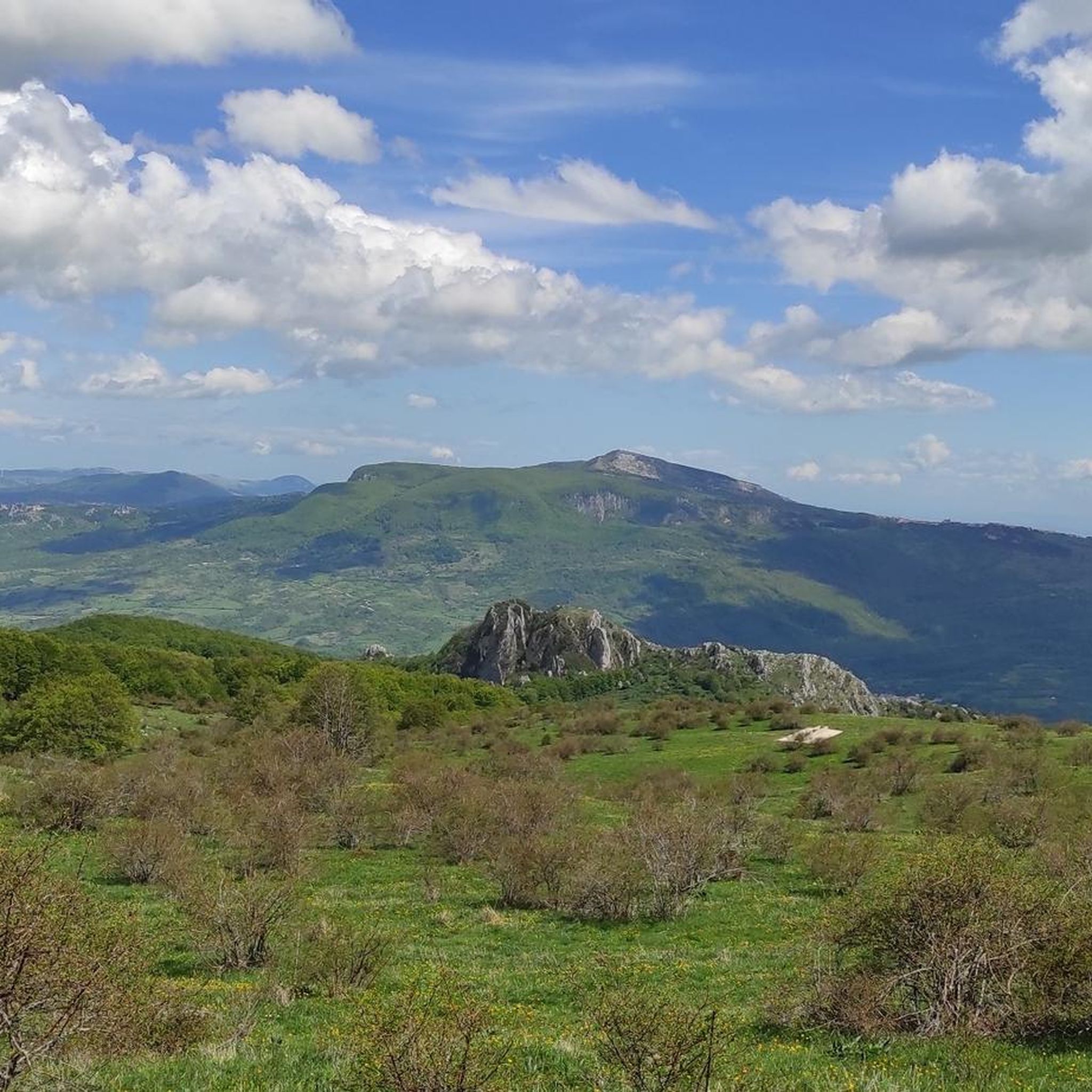
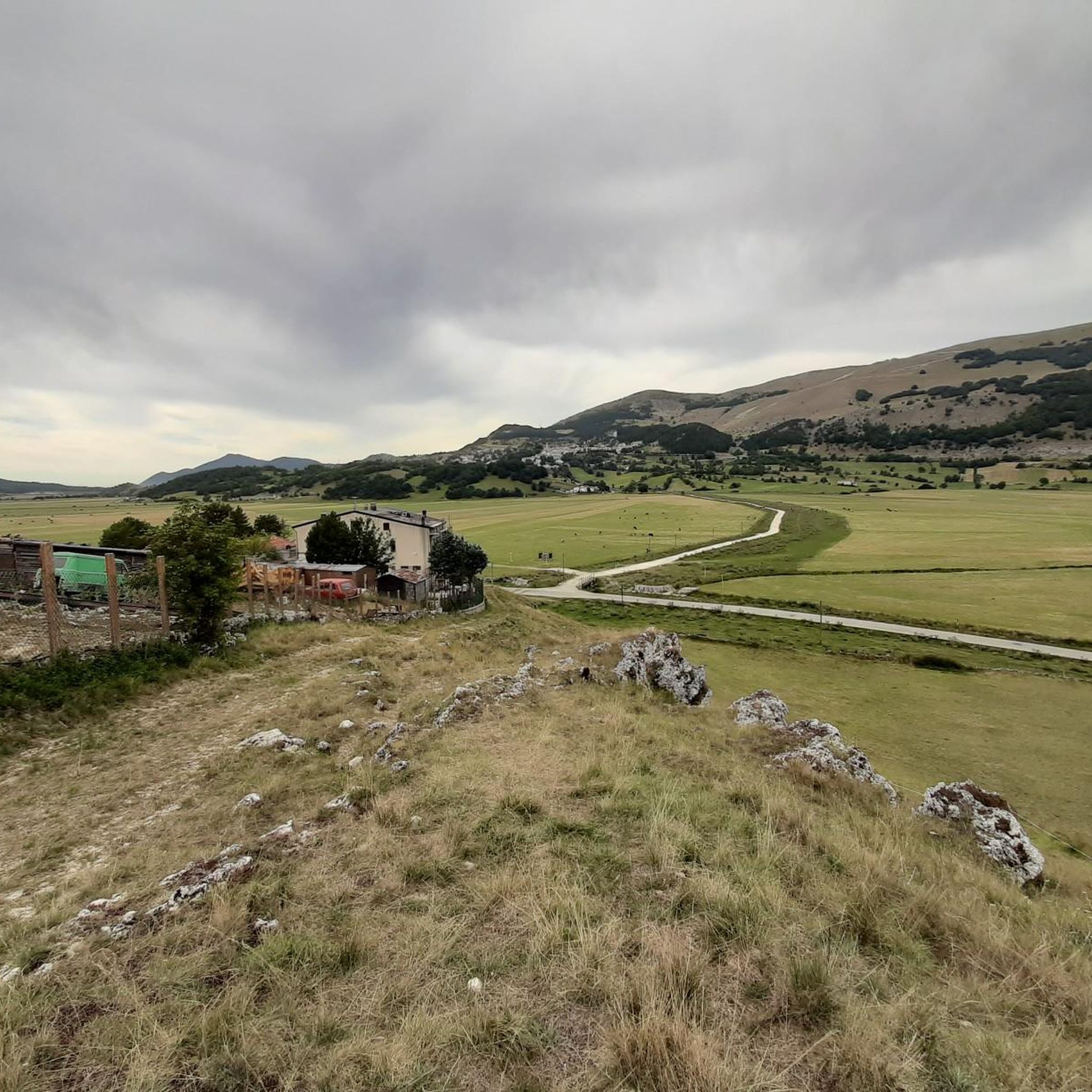
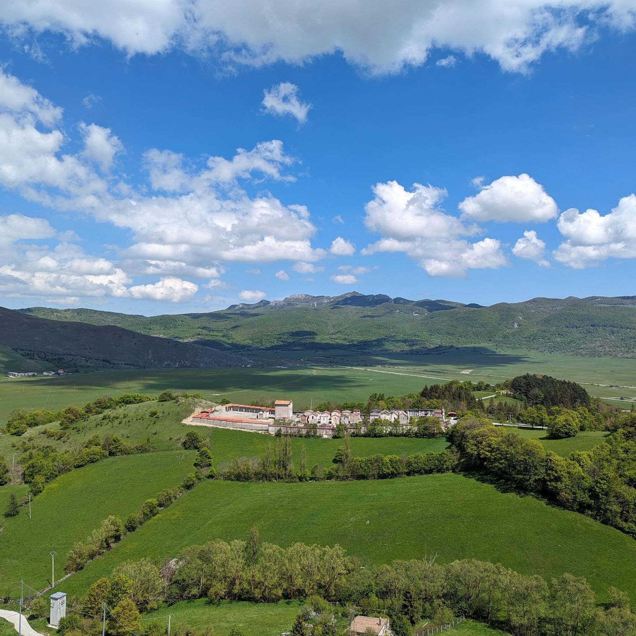
Road cycling routes around Ateleta are set within the mountainous terrain of the Abruzzo region, at an elevation of 760 meters on Colle Sisto, at the foot of Mount Secine. The area is part of the Maiella National Park, characterized by wooded mountains, deep-cut gorges, and the scenic Sangro River valley. This topography provides diverse terrain for road cycling, featuring both ascents and descents on quiet tarmac roads.
Best road cycling routes around Ateleta
- The most popular road cycling route…
Last updated: October 8, 2026
5.0
(1)
47
riders
79.8km
04:05
1,190m
1,190m
Hard road ride. Very good fitness required. Some segments of this route may be unpaved and difficult to ride.
5.0
(2)
40
riders
49.3km
02:34
840m
840m
Moderate road ride. Good fitness required. Mostly well-paved surfaces and easy to ride.

4.0
(2)
23
riders
77.4km
03:59
1,220m
1,220m
Hard road ride. Very good fitness required. Some segments of this route may be unpaved and difficult to ride.
5.0
(2)
21
riders
62.3km
03:18
1,180m
1,180m
Hard road ride. Very good fitness required. Mostly well-paved surfaces and easy to ride.
5.0
(1)
20
riders
79.5km
03:49
1,120m
1,120m
Hard road ride. Very good fitness required. Mostly well-paved surfaces and easy to ride.
Get access to more routes and recommendations from other explorers.
Already have an account?
Our route recommendations are based on thousands of hikes, rides, and runs completed by other people on komoot.
Start today with a free account
Your next adventure awaits.
Tips from the Community

The sanctuary of the Madonna in Saletta is a religious building located in the middle of a pine and fir forest, three kilometers away from the center of the municipality of Castel del Giudice, in the province of Isernia
1
0
Small village on the shores of Lake Barrea, in the Abruzzo National Park, it is immersed in a suggestive natural environment.
0
0

The Sangro river originates from Mount Turchio at 1,400 meters and flows into the Adriatic Sea. It is 122 kilometers long and has become quite famous in the world of sport fishing.
2
0
Inside the Abruzzo, Lazio and Molise National Park, surrounded by mountains, there is Lake Barrea which overlooks the three villages: Villetta Barrea, Barrea and Civitella Alfedena.
2
0
Villetta Barrea is located on the Sangro river in the shadow of Mount Mattone and it is not uncommon for you to come across splendid specimens of deer in its streets. The town was built around the 13th century castle. There are two museums to visit, the transhumance museum and the water museum.
2
0

Villetta Barrea is a beautiful village located in the National Park of Abruzzo, Lazio and Molise. It is located on the shores of Lake Barrea. Villetta Barrea is an excellent base for excursions: one of the most famous is that of the Camosciare. In Villetta Barrea it is easy to meet deer, even in the historic centre.
0
0

Villetta Barrea is a beautiful village located in the National Park of Abruzzo, Lazio and Molise. It is located in a strategic position near Lake Barrea. https://parcoabruzzo.it/paesi.scheda.php?id=66107
0
0
The bridge over Lake Barrea offers a panoramic view of the water and the surrounding landscape.
1
0
Frequently Asked Questions
How many road cycling routes are available around Ateleta?
There are over 35 dedicated road cycling routes directly around Ateleta. The broader L'Aquila province, where Ateleta is located, offers an extensive network of over 300 cycling routes, providing a wide range of options for road cyclists.
What kind of terrain can I expect on road cycling routes in Ateleta?
Road cycling around Ateleta is characterized by its mountainous terrain within the Maiella National Park. You can expect a mix of ascents and descents on quiet tarmac roads, with routes featuring continuous ups and downs, hills, and cols. The landscape includes wooded mountains, deep-cut gorges, and the scenic Sangro River valley, offering both challenging climbs and rewarding descents.
Are there road cycling routes suitable for beginners or those looking for an easier ride?
Yes, while the region is known for its challenging terrain, there are options for various skill levels. Out of the routes around Ateleta, 5 are classified as easy, and 13 are moderate, providing less strenuous options for those new to road cycling or seeking a more relaxed experience. For example, the WIP3 loop from Rivisondoli-Pescocostanzo is a moderate route with varied terrain.
What are the best times of year for road cycling in Ateleta?
Ateleta enjoys a sunny climate, sheltered from cold winds due to its position on Colle Sisto with southeastern exposure. The spring and autumn months generally offer the most pleasant temperatures for road cycling. While the region can be cycled in summer, be prepared for warmer conditions, especially on climbs. Winter cycling is possible but may be limited by snow at higher elevations, particularly within the mountainous Maiella National Park.
Are there any scenic loop trails for road cycling around Ateleta?
Yes, many of the road cycling routes around Ateleta are designed as loops, allowing you to start and finish in the same location while experiencing diverse scenery. A popular option is the Carovilli – View of Pietrabbondante loop from Ateleta, which takes you through wooded mountains and the Sangro River valley.
What kind of elevation gain can I expect on road cycling routes near Ateleta?
Given Ateleta's mountainous setting at the foot of Mount Secine, road cycling routes in the area feature significant elevation changes. For example, the difficult Pass – Lake Barrea loop from Rivisondoli-Pescocostanzo involves over 1,200 meters of elevation gain, offering challenging climbs and rewarding descents. Even moderate routes will include continuous ups and downs.
What do other road cyclists say about the routes around Ateleta?
The road cycling routes around Ateleta are highly rated by the komoot community, with an average score of 4.6 stars from over 30 reviews. Nearly 1,000 road cyclists have used komoot to explore the area, often praising the varied terrain, scenic views, and the challenging yet rewarding experience of cycling through the Maiella National Park.
Are there any natural attractions or landmarks to see along the road cycling routes?
Absolutely. The routes often pass through or near significant natural features. You can explore areas like the Bosco di Sant'Antonio, a beautiful beech forest, or enjoy panoramic views from spots like Panoramic Ridge of Monte Porrara. The region is also known for its deep-cut gorges and enormous valleys within the Maiella National Park.
What cultural or historical sites can I visit near the cycling routes in Ateleta?
Beyond the natural beauty, Ateleta and its surroundings offer several cultural and historical points of interest. You can visit the Museo della Civiltà Contadina in the town hall, the Parish Church of San Gioacchino, or historical sites like the Monument to Joachim Murat. The town is also close to other charming towns such as Castel di Sangro and Palena, which offer additional attractions like the Basilica of Santa Maria del Colle.
Is Ateleta a good destination for family-friendly cycling?
While the primary road cycling routes around Ateleta often feature challenging mountainous terrain with significant ascents and descents, the region's natural beauty and proximity to towns like Castel di Sangro offer broader outdoor appeal. For families, it's advisable to seek out specific, shorter, and flatter sections or consider cycling paths in nearby towns rather than the more demanding road routes described in this guide. The Bosco di Sant'Antonio, for instance, has winding paths suitable for walks, which might offer gentler cycling opportunities for families.
Where can I find parking for road cycling in Ateleta?
Ateleta, being a smaller town, typically offers various public parking options within the town center or near key attractions. For specific route starting points, it's often possible to find street parking or designated parking areas in the nearby villages or towns that serve as common departure points for cyclists. Always check local signage for any restrictions.
Are there cafes or accommodations catering to cyclists in Ateleta or nearby?
Ateleta and its surrounding towns, such as Castel di Sangro, offer various amenities. Accommodations like the Sport Village Hotel & Spa in Castel di Sangro are known to cater to active visitors, including cyclists, sometimes providing facilities like e-bike charging stations. You'll find cafes and restaurants in the town centers to refuel during or after your rides.
Most popular attractions around Ateleta

Get inspired with the komoot mobile app


Explore more
Browse the best Road cycling routes in other regions.
