The best road cycling routes around Roccaraso
4.5
(59)
1,859
riders
65
rides
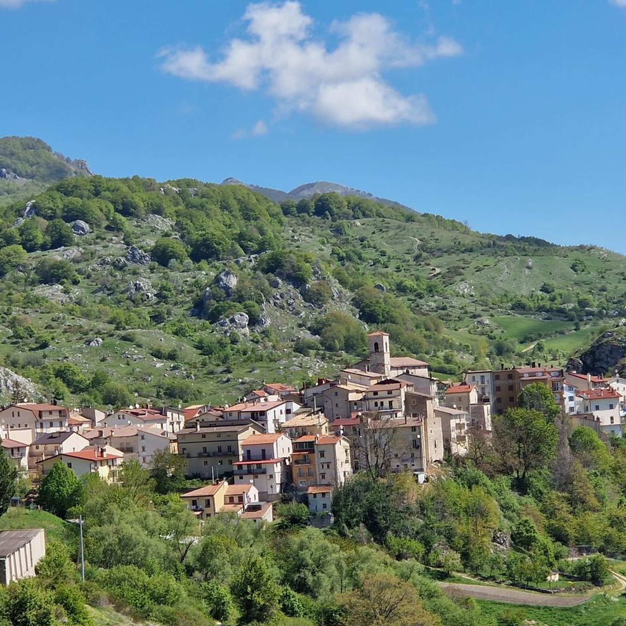
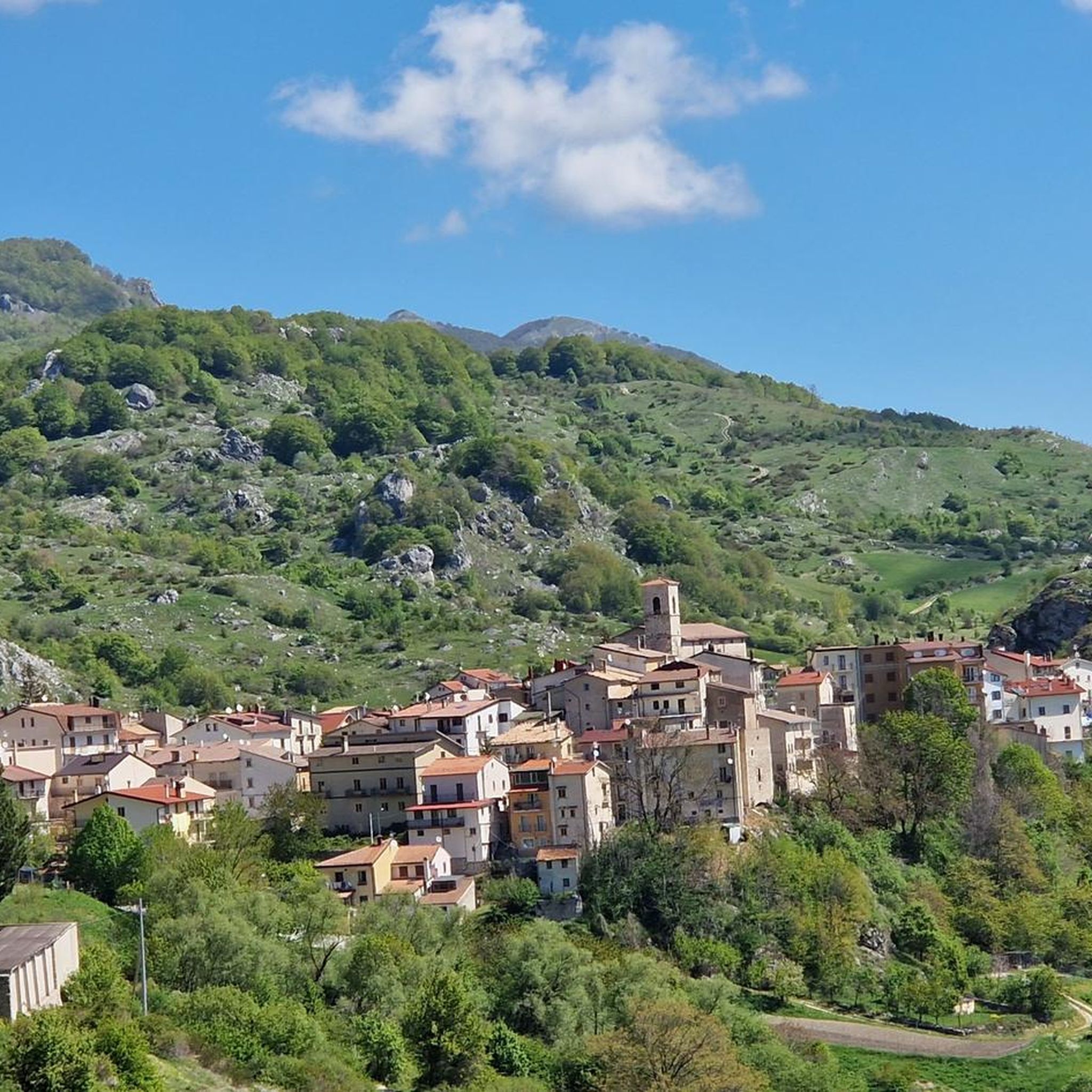
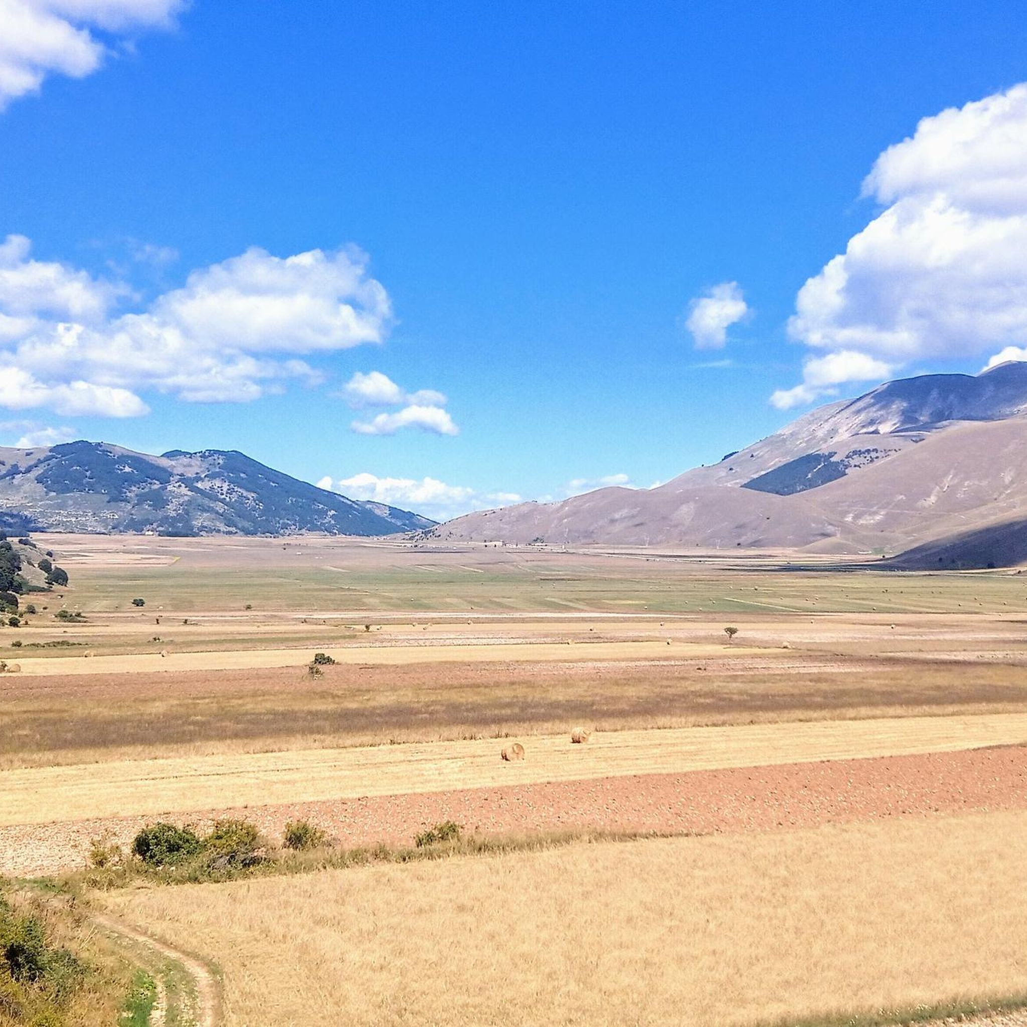
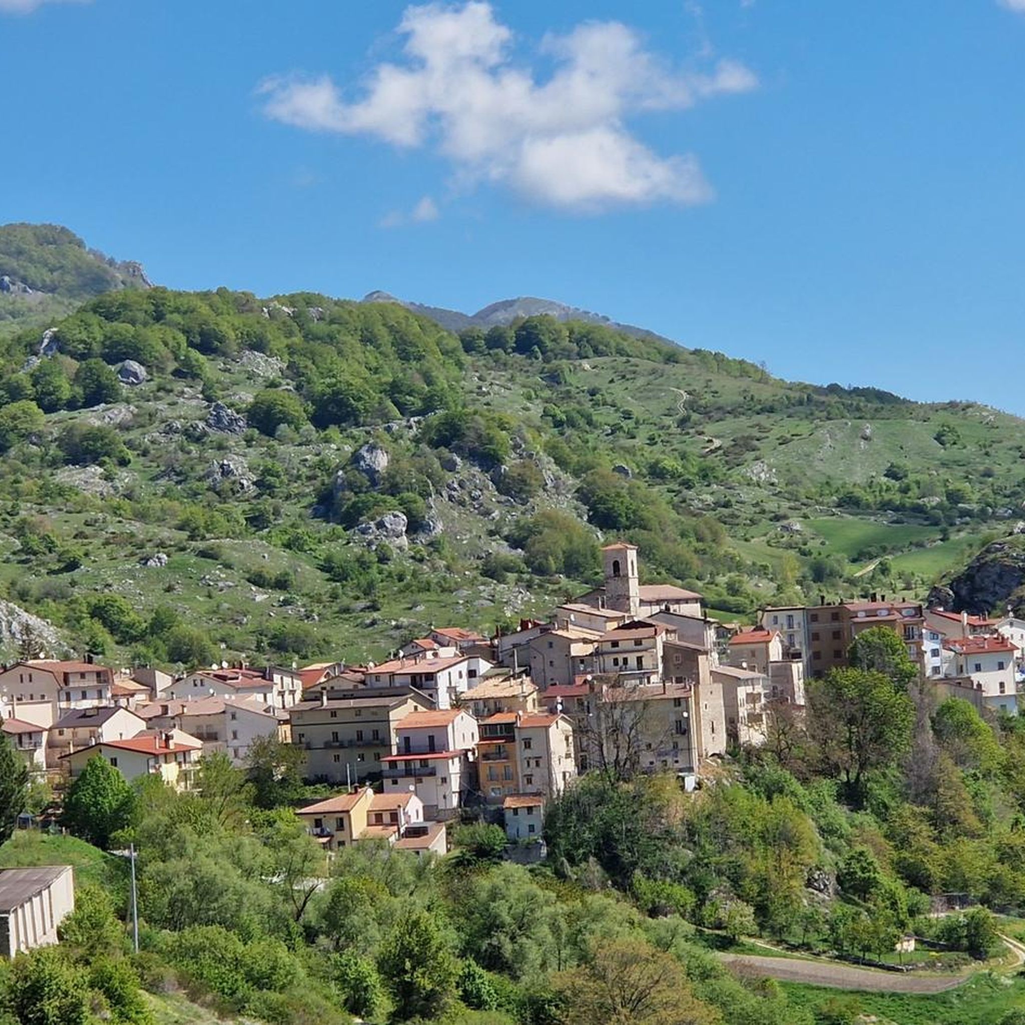
Road cycling routes around Roccaraso are situated at 1236 meters above sea level, on the edge of the Cinquemiglia plateau, offering diverse landscapes and challenging terrain. The region is characterized by significant elevation changes, high-altitude plateaus, and ancient beech forests, providing a backdrop of natural features for cyclists. It serves as a gateway to both the Majella National Park and the Abruzzo, Lazio, and Molise National Park.
Best road cycling routes around Roccaraso
- The most popular road cycling route is…
Last updated: July 5, 2026
4.7
(7)
126
riders
56.0km
02:58
940m
940m
Hard road ride. Very good fitness required. Some segments of this route may be unpaved and difficult to ride.
4.7
(9)
227
riders
93.7km
05:11
1,800m
1,800m
Hard road ride. Very good fitness required. Mostly well-paved surfaces and easy to ride.

Sign up for free
40
riders
79.2km
04:00
1,210m
1,210m
Hard road ride. Very good fitness required. Mostly well-paved surfaces and easy to ride.
5.0
(2)
40
riders
49.3km
02:34
840m
840m
Moderate road ride. Good fitness required. Mostly well-paved surfaces and easy to ride.
5.0
(1)
31
riders
46.2km
02:01
320m
320m
Moderate road ride. Good fitness required. Mostly well-paved surfaces and easy to ride.
Get access to more routes and recommendations from other explorers.
Sign up for free
Already have an account?
Our route recommendations are based on thousands of hikes, rides, and runs completed by other people on komoot.
Start today with a free account
Your next adventure awaits.
Login or Signup
Tips from the Community

Interesting, well-restored castle complex with worthwhile views from the tower of the entire old town of the medieval village of Pacentro and the beautiful surroundings.
0
0

spectacular places, lots of wind.
0
0
I ride with my leg always in shot
1
1

The Sangro river originates from Mount Turchio at 1,400 meters and flows into the Adriatic Sea. It is 122 kilometers long and has become quite famous in the world of sport fishing.
2
0
Inside the Abruzzo, Lazio and Molise National Park, surrounded by mountains, there is Lake Barrea which overlooks the three villages: Villetta Barrea, Barrea and Civitella Alfedena.
2
0

A centenary forest in the heart of the Majella National Park. Especially beautiful in autumn. There are some paths inside the woods of low difficulty, but better done with a MTB.
1
0
Passo Forchetta, connecting Roccaraso to Campo di Giove, offers a journey through a fresh and lush forest. The road, although the asphalt is not in perfect condition and subject to small landslides, offers a picturesque and fascinating driving experience.
1
0

Free refill, pump and tools for repairing faults. Free charging and self-repair station for bicycles and e-bikes.
0
0
Frequently Asked Questions
What kind of terrain can I expect when road cycling around Roccaraso?
Roccaraso, situated at 1236 meters above sea level, offers diverse and challenging terrain. You'll encounter significant elevation changes, high-altitude plateaus like the Aremogna plateau, and ancient beech forests. The region is known for its demanding climbs and exhilarating descents, providing a varied experience for road cyclists.
How many road cycling routes are available in the Roccaraso area?
There are 10 road cycling routes documented around Roccaraso, catering to various skill levels. These include easy, moderate, and difficult options, ensuring there's a suitable ride for almost every cyclist.
Are there routes suitable for beginners or those looking for an easier ride?
Yes, Roccaraso offers routes for all abilities. There are 3 easy routes, typically up to 2 hours long with around 500 feet of elevation gain on mostly paved surfaces, perfect for beginners or a relaxed ride. For example, you can find moderate options like the Roccaraso – Bosco di Sant'Antonio loop from Roccaraso.
What are some challenging road cycling routes for experienced riders?
Experienced cyclists will find plenty of demanding options. Routes like Cycling through the Majella from Roccaraso – Loop tour and Pacentro Castle – Majella National Park loop from Roccaraso feature significant elevation changes and substantial climbs within the Majella National Park, requiring very good fitness.
What natural features or scenic viewpoints can I expect along the routes?
Road cycling in Roccaraso offers stunning panoramic views of the Majella National Park and surrounding mountains. You'll ride through ancient beech forests, across high-altitude plateaus like the Quarto Grande Plateau, and within the protected environments of both Majella National Park and Abruzzo, Lazio, and Molise National Park.
Are there any historical or cultural landmarks to see while cycling?
Yes, some routes pass by interesting landmarks. For instance, you might encounter the Bosco di Sant'Antonio, a beautiful forest, or historical sites like the Fanzago Palace and the Hermitage of San Michele Arcangelo of Pescocostanzo.
What is the best time of year to go road cycling in Roccaraso?
The best time to cycle in Roccaraso is generally during the warmer months, from late spring to early autumn. This period offers more stable weather conditions, less chance of snow at higher elevations, and the full beauty of the natural landscapes. Always check local weather forecasts before heading out.
Are there loop trails available for road cyclists in Roccaraso?
Yes, many of the road cycling routes around Roccaraso are designed as loop trails, allowing you to start and finish in the same location. Examples include the Quarto Grande Plateau loop from Roccaraso and the Quarto Grande Plateau – Passo Forchetta loop from Roccaraso.
What do other road cyclists say about the routes in Roccaraso?
The road cycling routes in Roccaraso are highly rated by the komoot community, with an average score of 4.7 stars from over 40 reviews. Cyclists often praise the challenging mountain passes, the stunning panoramic views, and the immersive experience within the national parks.
Is Roccaraso suitable for family-friendly road cycling?
While Roccaraso is known for its challenging mountain terrain, there are easier routes available that could be suitable for families with some cycling experience. These routes typically have less elevation gain and are on paved surfaces. It's advisable to check the specific route details and difficulty before planning a family outing.
Are there options for public transport to reach the cycling trails?
Roccaraso is a well-known destination, and while specific public transport options directly to trailheads might vary, the town itself is accessible. For detailed information on public transport to Roccaraso and connections to specific starting points, it's best to consult local transport authorities or tourist information centers.
Where can I find parking for my car when starting a road cycling route?
As a popular outdoor destination, Roccaraso generally offers parking facilities within or near the town center. Many routes start directly from Roccaraso, making it convenient to park your vehicle. Specific parking availability can vary, so it's recommended to check local maps or information upon arrival.
Most popular attractions around Roccaraso

Get inspired with the komoot mobile app


Explore more
Browse the best Road cycling routes in other regions.
