The best walks and hikes around San Giuliano Del Sannio
4.4
(44)
292
hikers
33
hikes
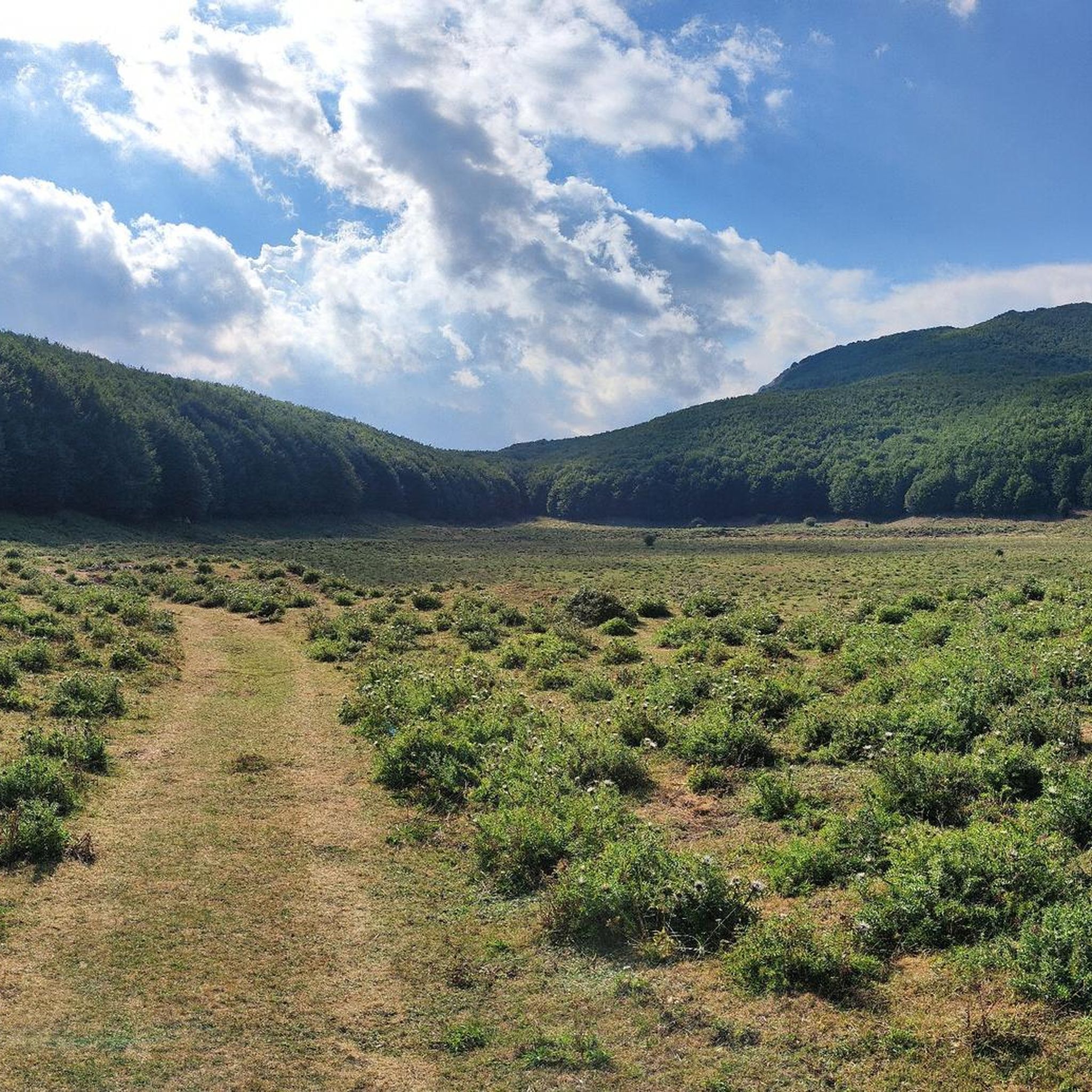
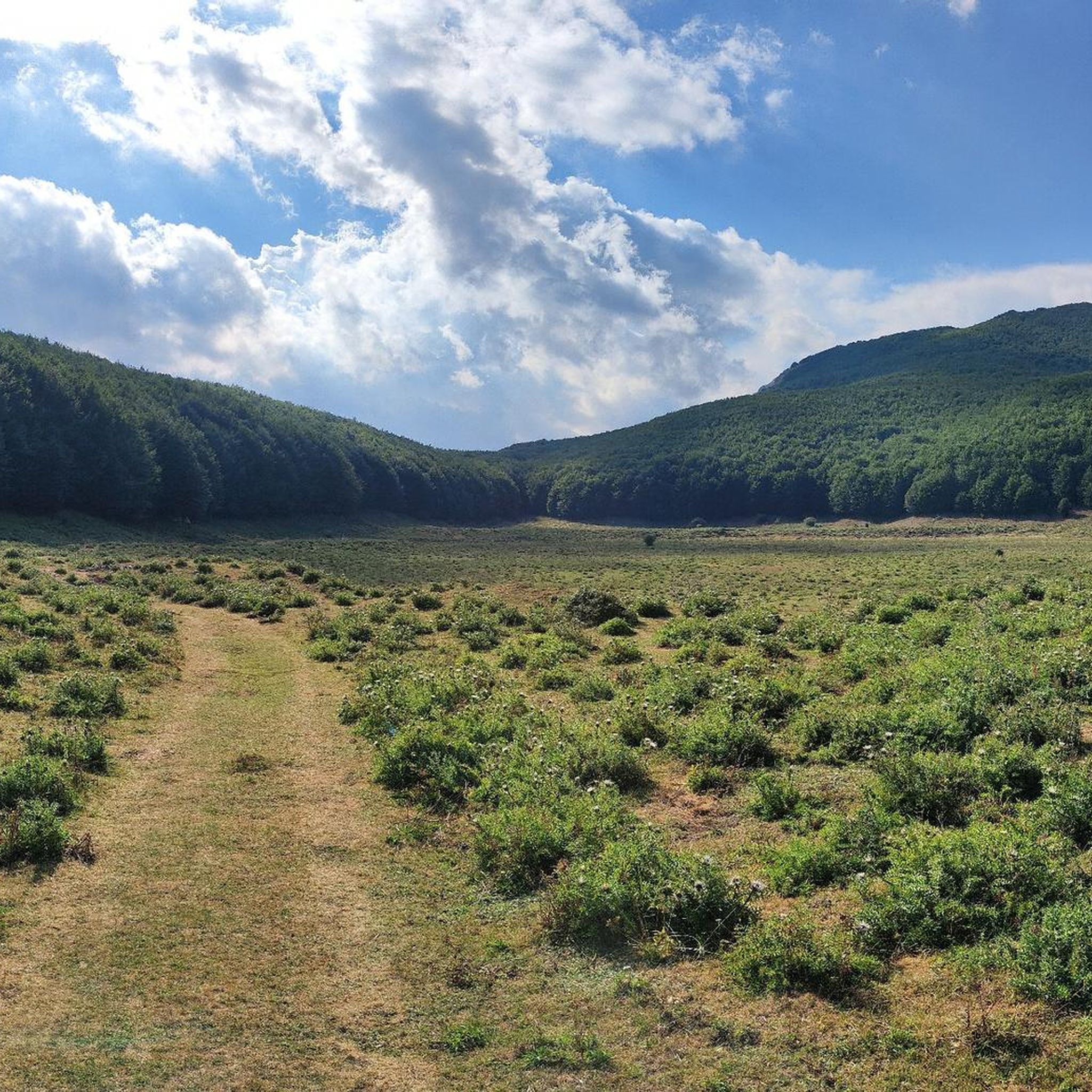
Hiking around San Giuliano Del Sannio offers access to the Matese mountain group, a significant range characterized by varied landscapes including extensive beech woods and dolines. The town is situated on a hill overlooking the Tammaro river plain, providing opportunities for both valley-based walks and higher-elevation trails. The surrounding territory features ancient forests and natural paths, with elevations ranging from river valleys to mountain peaks. This area in Molise is known for its preserved natural environment.
Best hiking trails around San Giuliano Del Sannio
- The most popular hiking route is Saepinum Archaeological Park Loop, a 9.0 miles (14.5 km) trail that takes 4 hours 19 minutes to complete. This moderate route combines historical exploration with natural scenery.
- Another top favourite among local hikers is Monte Mutria – loop tour in the Riserva Regionale Guardiaregia-Campochiaro, a difficult 15.5 miles (24.9 km) path. This route offers high-altitude views within the Matese mountain group.
- Local hikers also love the I Tre Frati Loop, a 12.1 miles (19.4 km) trail leading through varied terrain, often completed in about 6 hours. This difficult route explores the natural features of the region.
- Hiking around San Giuliano Del Sannio is defined by the Matese mountain group, dense forests, and the Tammaro river valley. The network offers options for different ability levels, from moderate walks to challenging mountain ascents.
- The routes in San Giuliano Del Sannio are highly rated by the komoot community with an average score of 4.3 stars from over 30 reviews. More than 200 hikers have used komoot to explore San Giuliano Del Sannio's varied terrain.
Last updated: July 15, 2026
3.5
(4)
6
hikers
14.5km
04:20
450m
450m
The Saepinum Archaeological Park Loop offers a moderate hiking experience, taking you through an open-air museum where history and nature intertwine. As you hike, you will traverse uneven ancient terrain, passing by the remarkably well-preserved Roman town of Saepinum, often called the “little Pompeii of Molise.” This route covers 9.0 miles (14.5 km) with an elevation gain of 1466 feet (447 metres), typically taking around 4 hours and 19 minutes to complete.
To plan your visit, remember that sturdy, comfortable shoes are essential for navigating the ancient paths. While access to the archaeological site itself is generally free, there is a fee if you wish to enter the museum. The trail is accessible for most of the year, but checking local conditions before you go is always a good idea, especially during extreme weather.
This loop is notable for its deep dive into the region's past, allowing you to walk among ancient city walls and gates that still stand today. Beyond the historical ruins, the trail winds through the beautiful natural landscape of Molise, with the towering Matese mountains providing a scenic backdrop. It offers a peaceful escape and a unique opportunity to connect with both history and the outdoors.
3.0
(1)
2
hikers
24.9km
08:41
1,080m
1,090m
Embark on a challenging 15.5-mile (24.9 km) loop tour around Monte Mutria, a difficult hike that demands very good fitness and sure-footedness. This route, with its 3551 feet (1082 metres) of elevation gain, typically takes around 8 hours and 40 minutes to complete, winding through dense beech and pine woods on the Molisan side and revealing rocky karst formations on the Campanian side. From the summit, you can enjoy extraordinary panoramic views stretching across river valleys to both the Tyrrhenian and Adriatic Seas, even catching glimpses of the Gulf of Naples.
To tackle this demanding trail, you will need sturdy shoes and some alpine experience. While this specific loop is hard, the Riserva Regionale Guardiaregia-Campochiaro offers over 50 routes, providing options for all skill levels if you prefer an easier walk. Consider hiking in spring to witness vibrant meadows filled with crocuses and orchids, or visit in winter for a unique experience traversing snow-covered forests.
Beyond the physical challenge, the Monte Mutria area is rich in natural and cultural significance. You might spot wildlife like the Apennine wolf or golden eagle, and the reserve is home to a remarkable array of butterfly species. Near the summit, a small chapel dedicated to Sant'Antonio di Padova marks a destination for annual summer pilgrimages, reflecting the mountain's ancient historical importance as a sacred place for the Samnites.

Sign up for free
19.4km
06:00
730m
730m
Embark on the I Tre Frati Loop, a difficult 12.0-mile (19.4 km) hike that challenges you with a significant 2400 feet (732 metres) of elevation gain. This route typically takes around 6 hours to complete, winding through the diverse landscapes of the Riserva Naturale Regionale Oasi WWF Guardiaregia - Campochiaro. As you ascend, you'll encounter the striking natural monument known as The Three Brothers, which gives the trail its name, and be rewarded with expansive views of the dramatic Gole di Quirino and the picturesque Guardiaregia and Arcichiaro Reservoir.
To prepare for this demanding adventure, ensure you wear sturdy hiking shoes and bring appropriate gear. Parking is generally available near the trailhead, but arriving early during peak seasons is a good idea to secure a spot. Always check local conditions before you go, as this difficult route requires careful planning to ensure a safe and enjoyable experience.
Beyond the physical challenge, the I Tre Frati Loop offers cultural interest with features like a charming Wooden Footbridge and the historic Church of San Nicola. The trail is set within a protected natural reserve, highlighting the region's unique ecosystem and geological formations. This makes it a notable option for those seeking a blend of strenuous activity and natural beauty in the area.
1
hikers
11.2km
03:20
350m
370m
Moderate hike. Good fitness required. Easily-accessible paths. Suitable for all skill levels.
3.6
(9)
32
hikers
7.25km
02:11
230m
230m
Moderate hike. Good fitness required. Easily-accessible paths. Suitable for all skill levels.
Get access to more routes and recommendations from other explorers.
Sign up for free
Already have an account?
Our route recommendations are based on thousands of hikes, rides, and runs completed by other people on komoot.
Start today with a free account
Your next adventure awaits.
Login or Signup
Tips from the Community

In winter the huge roots are covered by snow, it yields less but it is still a nice highlight
0
0

From here you can admire Guardiaregia and the Archichiaro reservoir from above, as well as Monte Tre Confini.
0
0

Going up the narrow streets of Guardiaregia (CB), starting from the main square Piazza degli Eroi, you reach a belvedere with a breathtaking view of the Gorges.
6
0
The church belonged to the medieval era, but is in neoclassical style after the earthquake of 1805. It has a basilica plan with three naves, with a tripartite façade in three portals. The bell tower is a compact tower with a cusp.
7
0
A small wooden bridge to cross a small stream of water. Unfortunately it is dry in summer.
6
0

The name Saepinum derives from the Latin and means to fence and therefore refers to the breeding activities practiced here at the time. It was conquered by the Romans in the Third Samnite War in 293 BC.
0
0

Sepino is a small town in Molise which is part of the circuit of the most beautiful villages in Italy. The medieval historic center is well preserved and it is possible to visit the church of Santa Cristina and the ducal palace. On the hills of the Tammaro valley there are several archaeological sites testifying to the ancient Samnite and Roman settlements.
1
0
Ancient Samnite settlement located about 3 km north-west of Sepino, on a hill overlooking the plain of the Tammaro river. The 4th century BC settlement it was inhabited until the 3rd century AD, when it was abandoned in favor of the Roman city of Saepinum, located further downstream.
1
0
Frequently Asked Questions
How many hiking trails are available around San Giuliano Del Sannio?
There are over 25 hiking trails around San Giuliano Del Sannio, offering a variety of experiences from easy walks to challenging mountain ascents within the Matese mountain group.
What are the difficulty levels of hiking trails in San Giuliano Del Sannio?
The trails range from easy to difficult. You'll find 11 easy routes, 14 moderate routes, and 2 difficult routes, catering to various fitness levels and experience levels.
Are there family-friendly hiking options near San Giuliano Del Sannio?
Yes, there are several easy and moderate trails suitable for families. These often explore the extensive woods and farmlands surrounding the town, providing pleasant walks without significant elevation changes. Look for routes marked as 'easy' or 'moderate' for suitable options.
Can I bring my dog on the hiking trails in this region?
Many trails in the San Giuliano Del Sannio area and the broader Matese mountain group are dog-friendly. However, it's always advisable to keep your dog on a leash, especially in natural reserve areas or near livestock, and to check specific trail regulations if available.
Are there any circular hiking routes available?
Yes, many routes in the area are designed as loops. For example, the difficult I Tre Frati Loop and the moderate Loop tour of Cercemaggiore and Monte Saraceno are popular circular options that bring you back to your starting point.
What kind of natural features and viewpoints can I expect to see on the hikes?
The region is rich in natural beauty. You can expect extensive beech woods, views over the Tammaro river plain, and panoramic vistas from higher elevations within the Matese mountain group. Highlights include Mount Mutria and The Three Brothers, offering breathtaking views of the Apennines.
Are there historical landmarks or points of interest along the hiking trails?
Yes, the area has historical significance. The Saepinum Archaeological Park Loop combines historical exploration with natural scenery. You can also find traces of pre-Roman settlements and historical churches. The Campobasso Historic Center is also a notable nearby attraction.
What is the best time of year for hiking in San Giuliano Del Sannio?
The Molise region generally offers pleasant hiking conditions from spring through autumn. Spring brings blooming wildflowers, while autumn showcases vibrant foliage in the extensive forests. Summer can be warm, but higher-altitude trails in the Matese mountain group offer cooler temperatures. Winter hiking is possible but requires appropriate gear for snow and ice, especially at higher elevations.
Where can I find parking for hiking trails?
While specific parking areas for each trail are not always explicitly marked, parking is generally available in or near the villages that serve as trailheads. For routes like those in the Matese Regional Park, designated parking spots are often provided at popular access points.
Is public transport available to reach hiking areas near San Giuliano Del Sannio?
Public transport options to reach specific trailheads directly might be limited, especially for more remote routes. It's often more convenient to use a car to access the starting points of many hikes in the Matese mountain group and surrounding areas. However, local bus services connect San Giuliano Del Sannio to larger towns like Campobasso, from where further local transport might be available.
What do other hikers enjoy most about hiking in San Giuliano Del Sannio?
The area is highly rated by the komoot community, with an average score of 4.3 stars from over 30 reviews. Reviewers often praise the preserved natural environment, the varied terrain from river valleys to mountain peaks, and the opportunity to combine physical activity with cultural and historical exploration.
Are there any specific natural reserves or parks nearby that are good for hiking?
Yes, San Giuliano Del Sannio is situated within the broader Matese mountain group, which includes the Matese National Park. This park offers numerous opportunities for trekking through diverse landscapes, including challenging trails and ancient shepherd paths. The Monte Mutria – loop tour in the Riserva Regionale Guardiaregia-Campochiaro is an example of a route within a protected area.
Most popular routes around San Giuliano Del Sannio
Most popular attractions around San Giuliano Del Sannio

Get inspired with the komoot mobile app


Explore more
Browse the best Hikes in other regions.
