The best walks and hikes around Formicola
4.2
(24)
85
hikers
16
hikes
Hiking around Formicola offers a diverse landscape characterized by rolling hills and historical pathways. The region features a mix of open countryside and forested sections, providing varied terrain for outdoor activities. Elevation changes are present, with routes ascending to viewpoints such as Monte Friento. This area provides opportunities for exploring both natural scenery and cultural landmarks.
Best hiking trails around Formicola
- The most popular hiking route is Via Micaelica Transit Trail, a 7.4 miles (11.9 km) trail that takes…
Last updated: October 11, 2026
4.3
(4)
11
hikers
14.6km
03:52
90m
260m
Moderate hike. Good fitness required. Easily-accessible paths. Suitable for all skill levels.
2.0
(1)
2
hikers
11.9km
04:01
490m
490m
Moderate hike. Good fitness required. Mostly accessible paths. Sure-footedness required.

6
hikers
9.18km
02:47
310m
310m
Moderate hike. Good fitness required. Easily-accessible paths. Suitable for all skill levels.
4.7
(3)
6
hikers
3.56km
01:53
310m
300m
Moderate hike. Good fitness required. Mostly accessible paths. Sure-footedness required.
2.5
(2)
6
hikers
8.39km
02:35
290m
290m
Moderate hike. Good fitness required. Easily-accessible paths. Suitable for all skill levels.
Get access to more routes and recommendations from other explorers.
Already have an account?
Our route recommendations are based on thousands of hikes, rides, and runs completed by other people on komoot.
Start today with a free account
Your next adventure awaits.

Tips from the Community


path all in the shade with a cave and two excellent viewpoints. Mandatory trekking shoes and recommended poles. 4 km long but requires good mastery. To be considered as EE....
1
0

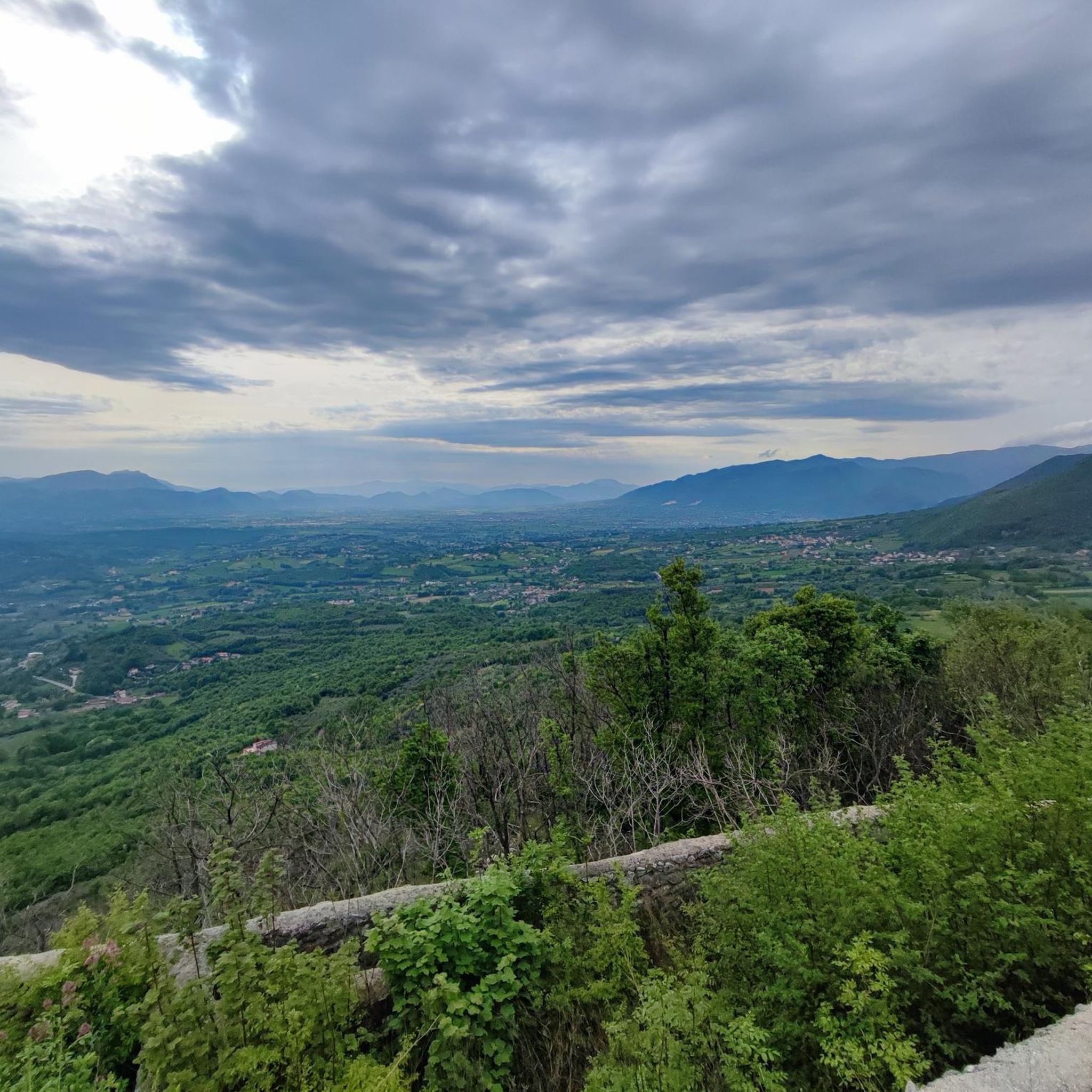
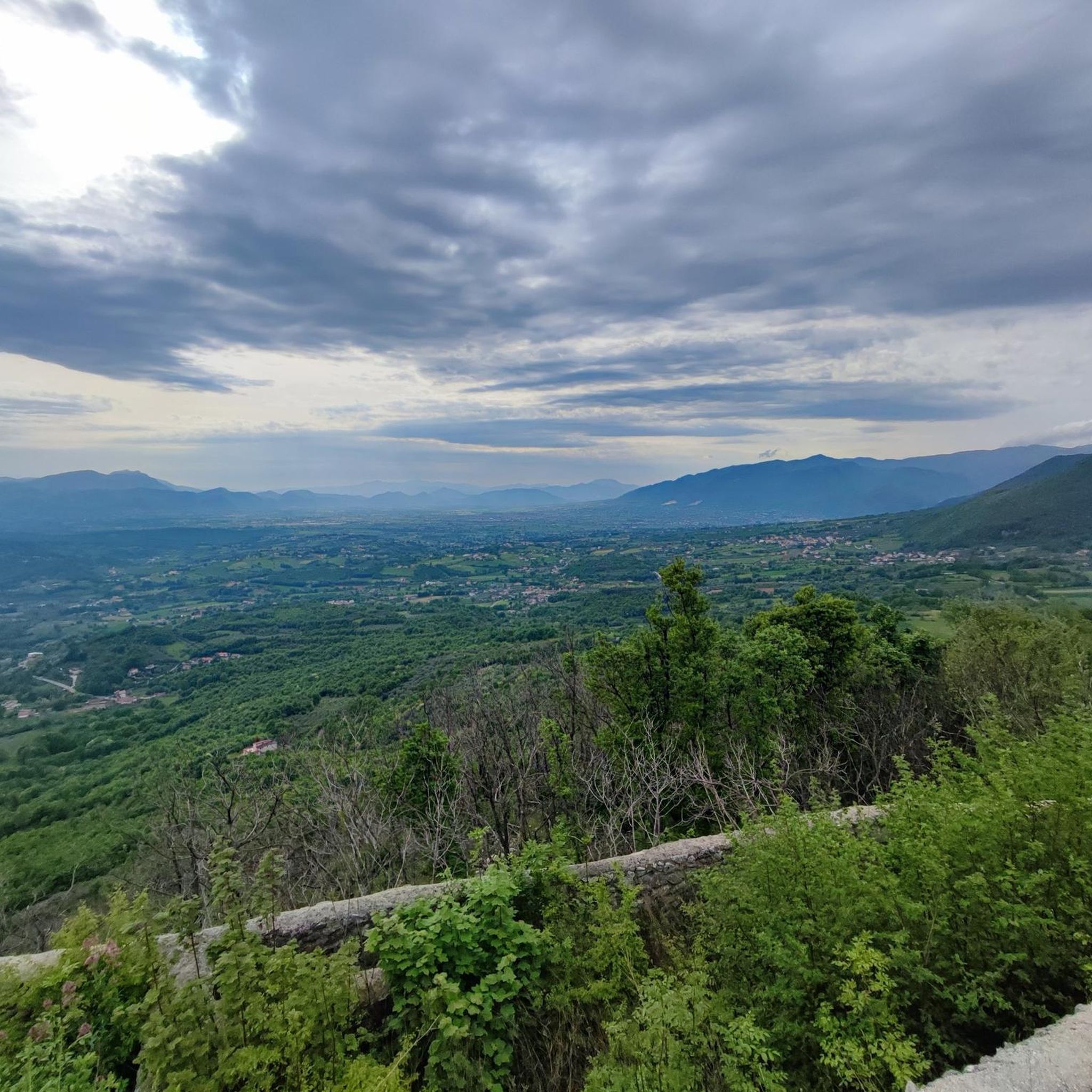
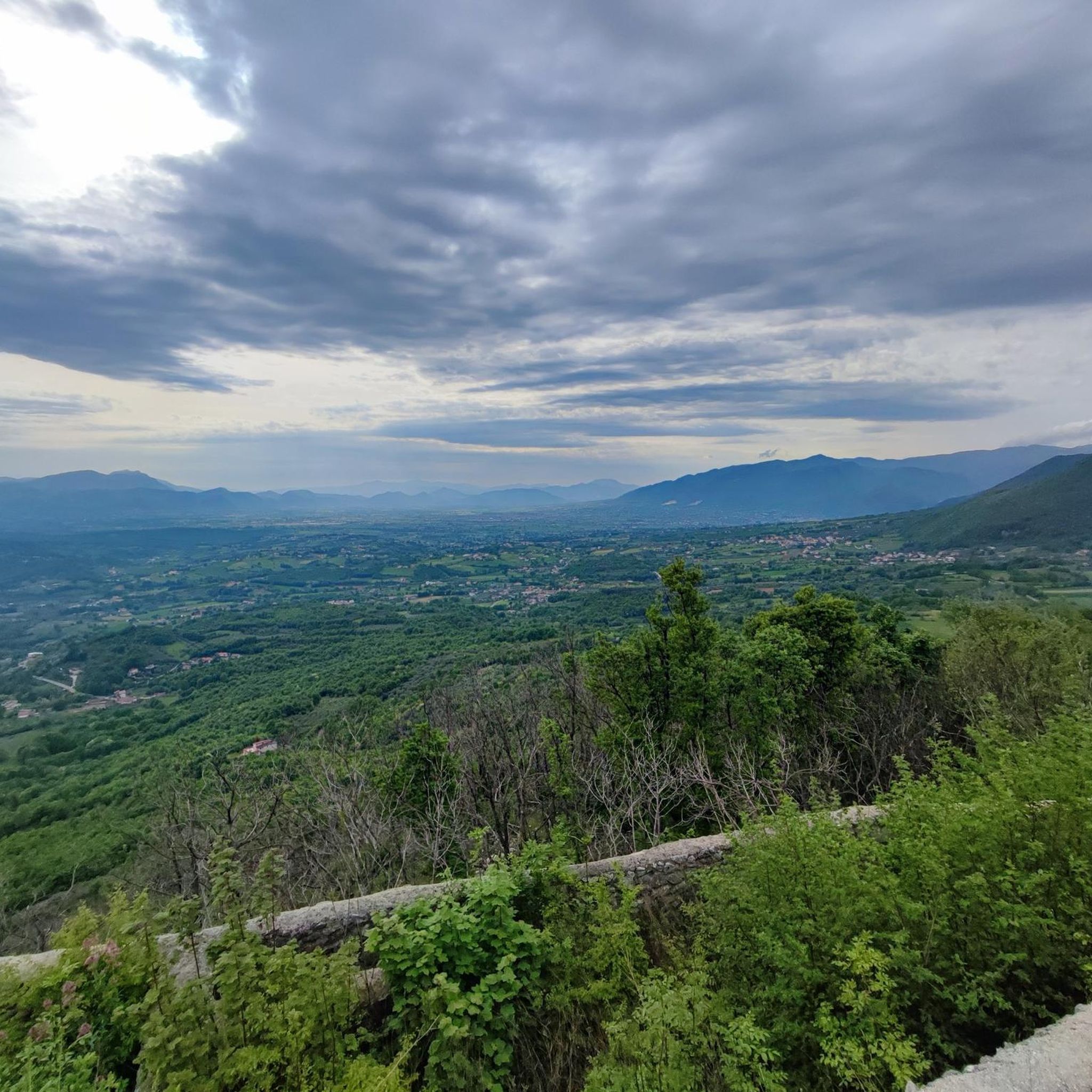
Mount Friento has breathtaking views of the Trebulani mountains and with its 770 meters it dominates the Volturno plain.
0
0

If I'm not mistaken it's in Campania, not in Calabria.
2
0

Mount Friento which with its 770 meters dominates the Volturno plain and offers excellent views of the Trebulani mountains.
1
0
One of the small fractions of the municipality of Rocchetta and Croce. You can get here with the famous Trombettiere climb.. you will hardly forget it.
1
0

Here there is a beautiful panoramic point next to the Sanctuary of San Salvatore. The church of S. Salvatore is still today the destination of many pilgrims, and every 1st May the Holy Mass is celebrated.
2
0
Croce is a mountain community at an altitude of 857 metres, and here you can also proceed towards S. Salvatore on the Via Francigena. Here are a small church and a former monastery.
2
0
Frequently Asked Questions
What is the general difficulty level of hiking trails around Formicola?
The hiking trails around Formicola are predominantly moderate, offering a good balance of challenge and accessibility. There is also one more difficult route for experienced hikers seeking a greater challenge. Currently, there are no trails specifically graded as easy.
Are there any circular hiking routes in Formicola?
Yes, Formicola offers several circular hiking routes. A popular option is the Hiking loop from Rocchetta e Croce, which is 2.2 miles (3.5 km) long. Other circular trails include the challenging Castello di Alife loop from Parco and the Grotta di San Michele – Liberi loop from Liberi.
What are the typical lengths and durations of hikes in the Formicola area?
Hiking trails in Formicola vary in length and duration. For instance, the Via Micaelica Transit Trail is about 7.4 miles (11.9 km) and takes around 4 hours. Shorter options like the Hiking loop from Rocchetta e Croce are 2.2 miles (3.5 km) and can be completed in under 2 hours. The longest route, Castello di Alife loop from Parco, spans nearly 18.4 miles (29.5 km) and requires a full day of hiking.
What can I see along the hiking trails around Formicola?
The trails offer a mix of natural scenery and cultural landmarks. You can explore rolling hills, forested sections, and historical pathways. Notable points of interest in the wider area include the San Vito Trails and the settlement of Bocchetta di Croce. Some routes, like the Fontana Lazzaro to Monte Friento Trail, provide views of Monte Friento.
Are there any family-friendly hiking options in Formicola?
While there are no trails specifically marked as 'easy', many of the moderate routes can be suitable for families with some hiking experience. Shorter circular trails, such as the Hiking loop from Rocchetta e Croce, might be good starting points. Always consider the distance and elevation gain to match your family's ability.
What is the best season for hiking in Formicola?
The best seasons for hiking in Formicola are typically spring (April-June) and autumn (September-October). During these months, the weather is generally mild and pleasant, with comfortable temperatures for outdoor activities. Summer can be quite hot, while winter offers milder temperatures but may have more rainfall.
Are dogs allowed on the hiking trails in Formicola?
Generally, dogs are welcome on hiking trails in the Formicola region. However, it's always advisable to keep your dog on a leash, especially in areas with livestock or wildlife, and to follow local regulations. Remember to carry water for your pet and clean up after them.
Where can I find parking for hiking trails in Formicola?
Specific parking information often varies by trailhead. For most routes, you can usually find parking in nearby villages or designated areas close to the starting points. We recommend checking the individual tour pages on komoot for detailed information regarding parking facilities for each specific trail.
What do other hikers enjoy most about hiking in Formicola?
The Formicola area is highly rated by the komoot community, with an average score of 4.1 stars from over 10 reviews. Hikers often praise the diverse landscape, which includes rolling hills and historical pathways, as well as the varied terrain that offers options for different ability levels.
Are there any challenging or advanced hiking routes in Formicola?
Yes, for more experienced hikers, there is one difficult route available. The Castello di Alife loop from Parco is a demanding 18.4-mile (29.5 km) trail with significant elevation changes, offering a substantial challenge.
What should I wear for hiking in Formicola?
For hiking in Formicola, it's recommended to wear comfortable, layered clothing suitable for the season. Sturdy hiking shoes with good grip are essential, especially given the varied terrain and potential for uneven surfaces. Always bring water, sun protection, and a map or GPS device.
Can I reach hiking trailheads in Formicola using public transport?
Public transport options to specific trailheads in Formicola may be limited, as the region is characterized by smaller towns and rural areas. It's often more convenient to reach starting points by car. We advise checking local bus schedules or regional transport services for specific routes if you plan to rely on public transport.
Most popular attractions around Formicola

Get inspired with the komoot mobile app


Explore more
Browse the best Hikes in other regions.
