The best MTB trails around Camigliano
4.6
(26)
110
riders
29
rides
Mountain bike trails around Camigliano, located in the province of Caserta, Italy, offer diverse landscapes for outdoor activities. The region features prominent natural areas such as the Matese Mountains and Tifatini Hills, characterized by forests, rocky peaks, and varied terrain. Mountain biking routes often traverse fertile valleys, vineyards, and incorporate historical features like sections of the Carolino Aqueduct. This area provides a mix of challenging ascents and scenic paths suitable for different skill levels.
Best mountain bike trails around Camigliano
…Last updated: July 4, 2026
4.0
(2)
6
riders
41.6km
03:08
670m
670m
Hard mountain bike ride. Good fitness required. Advanced riding skills necessary. Some portions of the route may require you to push your bike.
4.8
(4)
36
riders
Hard mountain bike ride. Very good fitness required. Suitable for all skill levels.

Sign up for free
14
riders
41.6km
03:09
880m
880m
Moderate mountain bike ride. Good fitness required. Suitable for all skill levels.
5.0
(1)
15
riders
37.9km
02:21
440m
440m
Moderate mountain bike ride. Good fitness required. Suitable for all skill levels.
3.6
(7)
7
riders
51.8km
03:04
400m
400m
Moderate mountain bike ride. Good fitness required. Suitable for all skill levels.
Get access to more routes and recommendations from other explorers.
Sign up for free
Already have an account?
Our route recommendations are based on thousands of hikes, rides, and runs completed by other people on komoot.
Start today with a free account
Your next adventure awaits.
Login or Signup

Tips from the Community

Beautiful early morning ride, fresh air, it's a dream
0
0

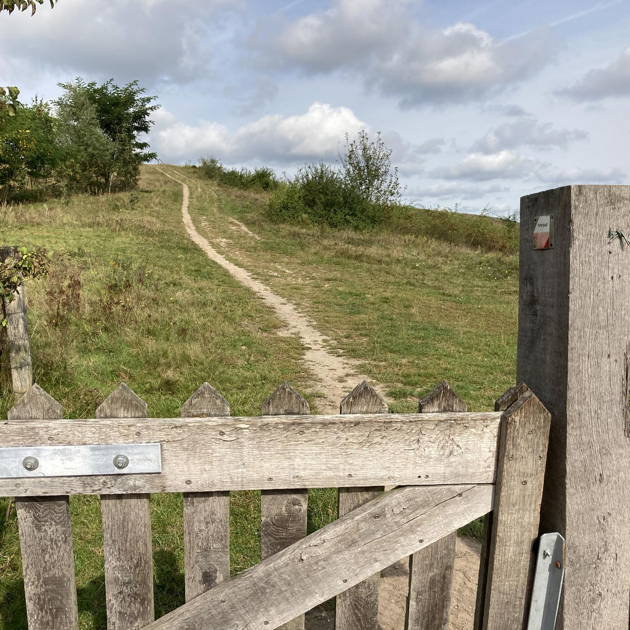
Access to the path for piano Razzano. The entrance is easily recognizable thanks to a barrier that is always open.
0
0
The Chapel of Santella is located approximately along the road that connects Croce and Rocchetta. From this point it is possible to choose several directions: - going up north, leaving the Chapel behind, proceed along the provincial road and after about 100 meters you reach a crossroads: straight towards Rocchetta, right towards Croce. Also here is the start of the path to Nocce. - another possibility is to continue south along the dirt road of Piano Razzano, leaving the Chapel on the left. From here it will be possible to reach the paragliding take-off point, the Croce del Piano di Razzano, the hut and Mount Frattiello. - going down south along the asphalt road, leaving the Chapel on the right, you go towards Formicola. This stretch of secondary road, about 1 km long, ends by crossing the provincial road that leads to Croce. Along the way is Masseria Letizia. - paths: in the immediate vicinity, a first path that goes down to Rocchetta in a northerly direction, and another that goes down to the village of Rocciano in a southerly direction.
0
0

Well-preserved stretch of the Adrianea. The paving is quite regular but be careful on the downhill stretches and when travelling after days of rain because it floods (you can still pass on a single track at the edge of the road)
0
0

a stretch of the ancient Hadrian's Road. This road, dating back to 120 AD, started from the port of Minturnae and connected very important cities of the Roman world: Suessa, Teanum Sidicinum, Alifae, Telesia and then connected with Malaventum
0
0
It is a beautiful area full of nature and greenery
1
0
Going up the road to Rocchetta, on the right at the indicated point is the entrance to the path that goes up towards Nocce - Fradejanne.
0
0
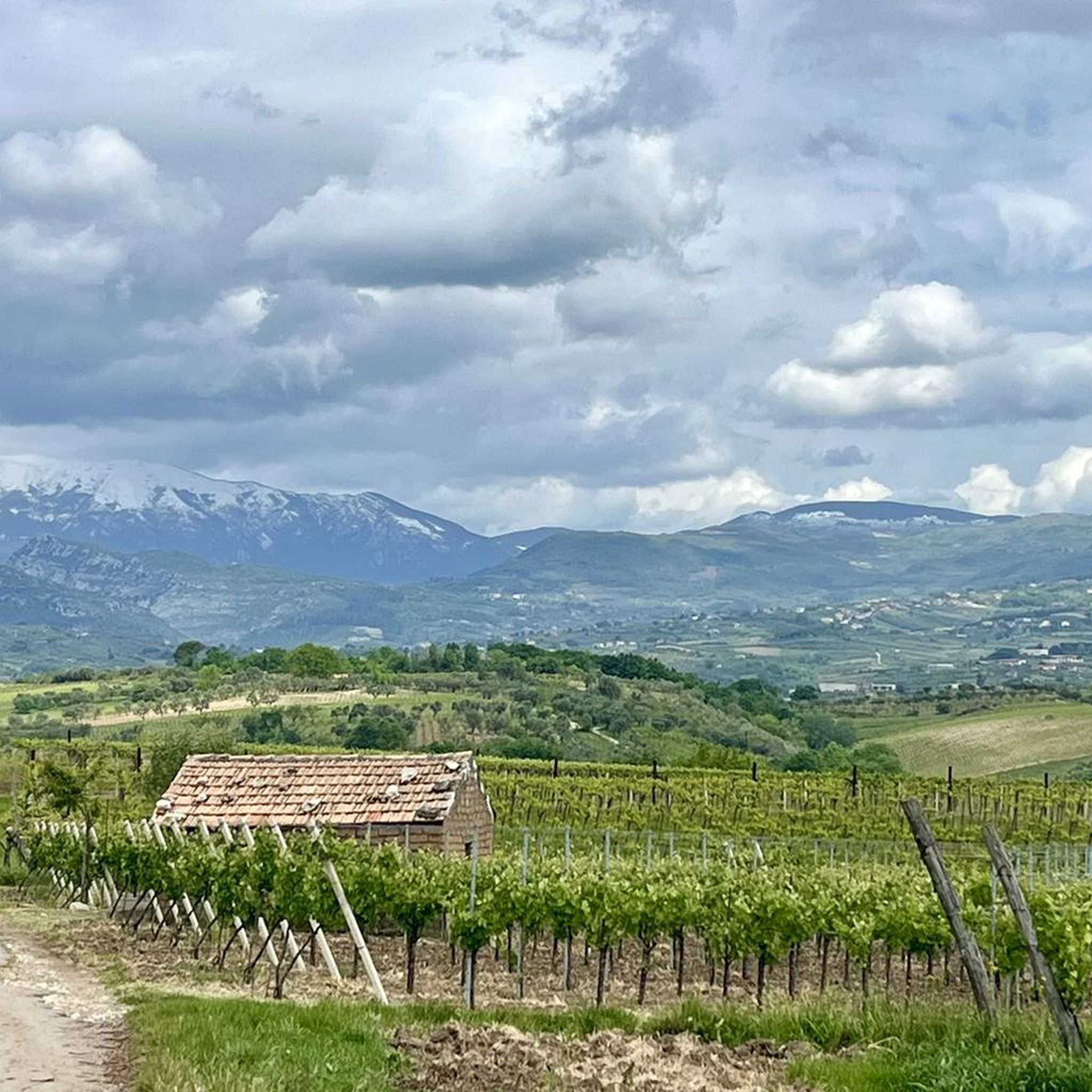
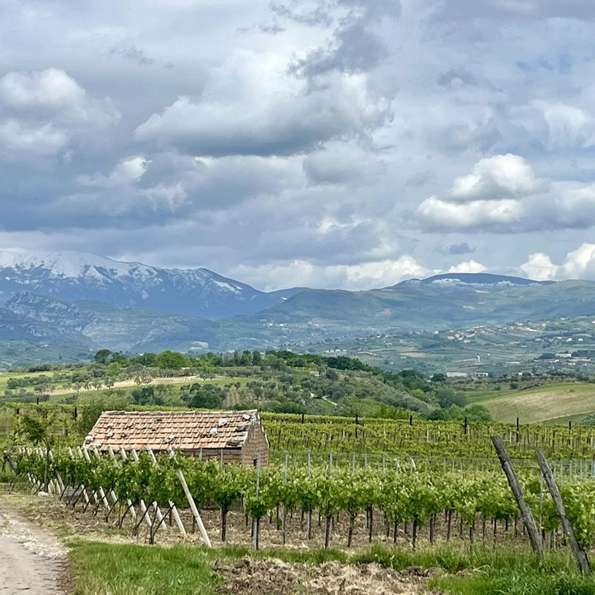
After having covered the entire Campaniello - Cerri dei Morti climb, the road crosses the SP 35 Barignano-Cisterna-Prea-Liberi. In the photo, in the background Monte Friento (770 m).
0
0
Frequently Asked Questions
How many mountain bike trails are available around Camigliano?
There are over 20 mountain bike trails around Camigliano, offering a variety of experiences. These include 4 easy routes, 16 moderate routes, and 3 difficult routes, catering to different skill levels.
What kind of terrain can I expect on mountain bike trails near Camigliano?
The terrain around Camigliano is diverse, featuring the Matese Mountains and Tifatini Hills with forests, rocky peaks, and varied paths. You'll also find routes traversing fertile valleys, vineyards, and historical features like sections of the Carolino Aqueduct. Expect a mix of challenging ascents and scenic paths.
Are there any circular mountain bike routes in the Camigliano area?
Yes, many routes around Camigliano are circular. For example, the Furnolo, Casafredda e Teano – giro ad anello da Calvi Risorta is a challenging loop, and the Bocchetta di Croce – Rocchetta e Croce Village loop from Caserta offers a moderate circular ride.
What are some historical landmarks or points of interest I can see while mountain biking near Camigliano?
Many routes incorporate historical elements. For instance, the Liberi War Memorial – Roman Bridge of Capua loop from Capua takes you through historical areas. You might also encounter sections of the ancient Carolino Aqueduct. Nearby attractions include the Royal Palace of Caserta and various castles like Castello di Loriano and Castello di Carlo V in Capua.
What do other mountain bikers say about the trails in Camigliano?
The mountain bike trails in Camigliano are highly rated by the komoot community, with an average score of 4.4 stars from over 23 reviews. Riders often praise the varied terrain and scenic views, especially those found on routes like the Bocchetta di Croce – Rocchetta e Croce Village loop from Caserta.
Are there any challenging mountain bike trails for experienced riders?
Yes, Camigliano offers several challenging routes. The Furnolo, Casafredda e Teano – giro ad anello da Calvi Risorta is a difficult 41.6 km trail with significant elevation gain. Another demanding option is the Aqueduct Cistern – San Vito Trails loop from Sant'Angelo in Formis, which covers over 53 km with substantial climbing.
What natural features or viewpoints can be found along the mountain bike trails?
The region is rich in natural beauty, including the Matese Mountains and Tifatini Hills. You can find panoramic views along trails like the Vaccheria Panoramic Trail. The WWF Bosco di San Silvestro Oasis, with its diverse flora and fauna, is also nearby, offering opportunities for nature observation.
Are there any trails that follow the Carolino Aqueduct?
Yes, some mountain biking routes in the Camigliano area incorporate sections of the historic Carolino Aqueduct, offering a unique blend of natural scenery and historical architecture. For example, the Aqueduct Cistern – Vaccheria Singletrack Junction loop from Bellona is one such route.
What is the typical duration for mountain bike rides in this area?
Ride durations vary depending on the trail and your pace. Moderate routes like the Liberi War Memorial – Roman Bridge of Capua loop from Capua can be completed in about 2 hours 21 minutes. Longer, more difficult trails, such as the Furnolo, Casafredda e Teano – giro ad anello da Calvi Risorta, typically take over 3 hours.
Are there any specific trails or highlights related to San Vito?
Yes, the San Vito Trails are a notable highlight in the area. You can explore them as part of a longer ride, such as the difficult Aqueduct Cistern – San Vito Trails loop from Sant'Angelo in Formis.
What are the best times of year for mountain biking in Camigliano?
While specific seasonal considerations for Camigliano are not detailed, generally, spring and autumn offer pleasant temperatures for mountain biking in Italy. Summers can be hot, especially in the south, so early mornings or late afternoons are often preferred. Winters can be cooler, but many trails remain accessible.
Most popular attractions around Camigliano

Get inspired with the komoot mobile app


Explore more
Browse the best MTB trails in other regions.
