The best MTB trails around Prüll
4.4
(2151)
8,120
riders
442
rides
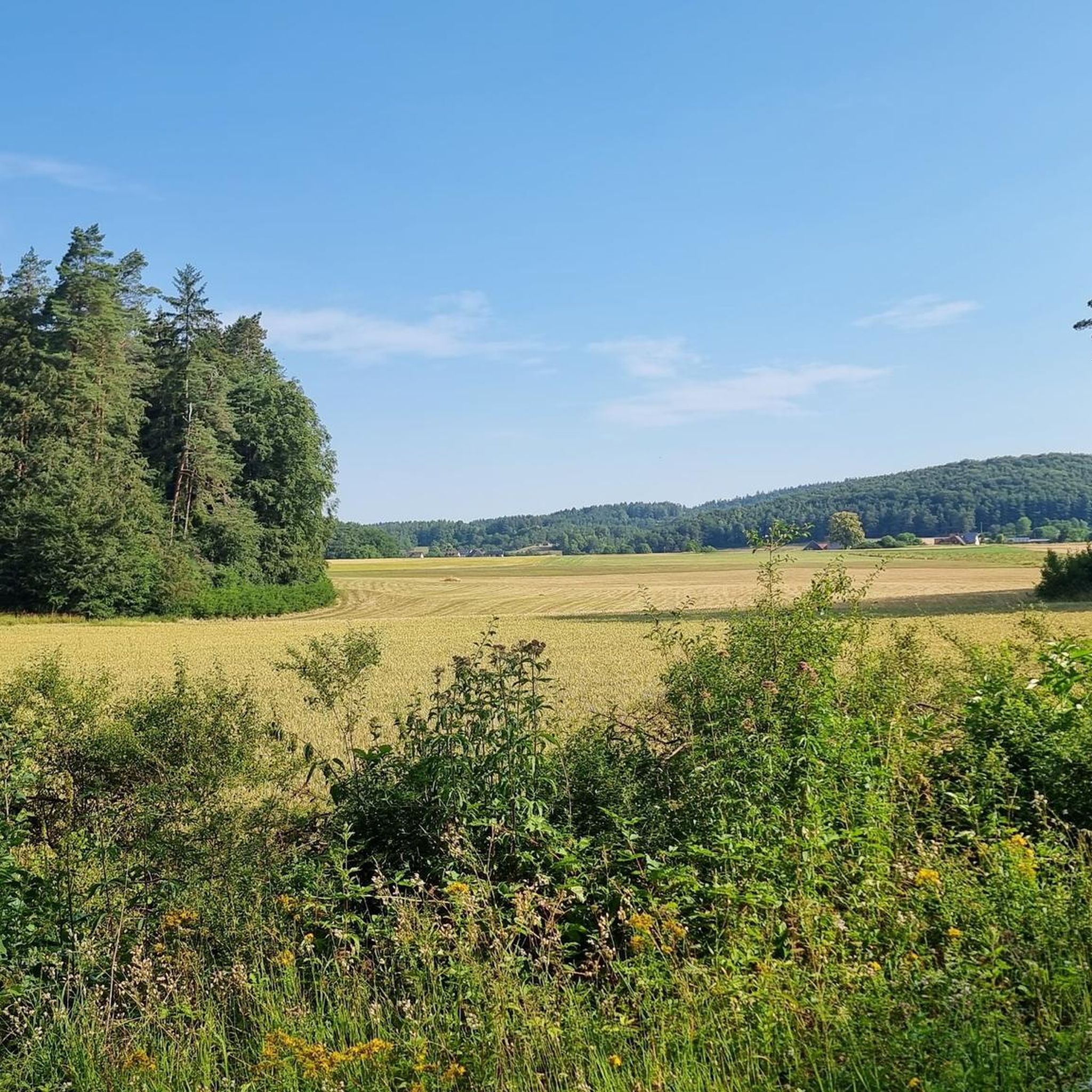
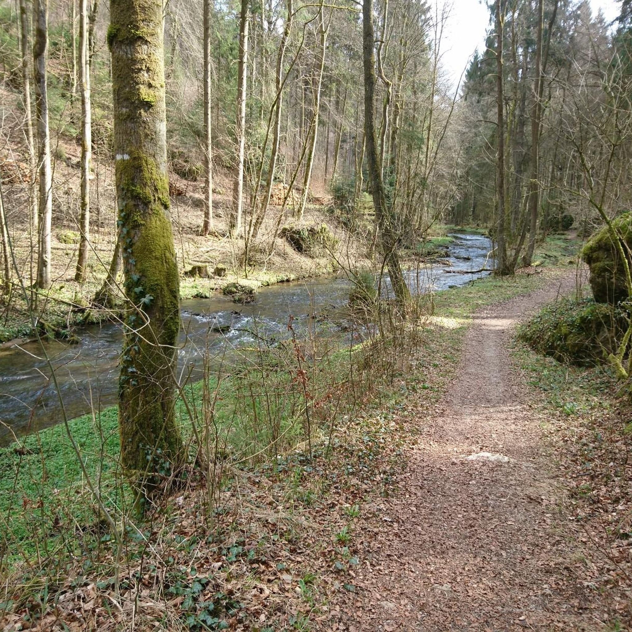
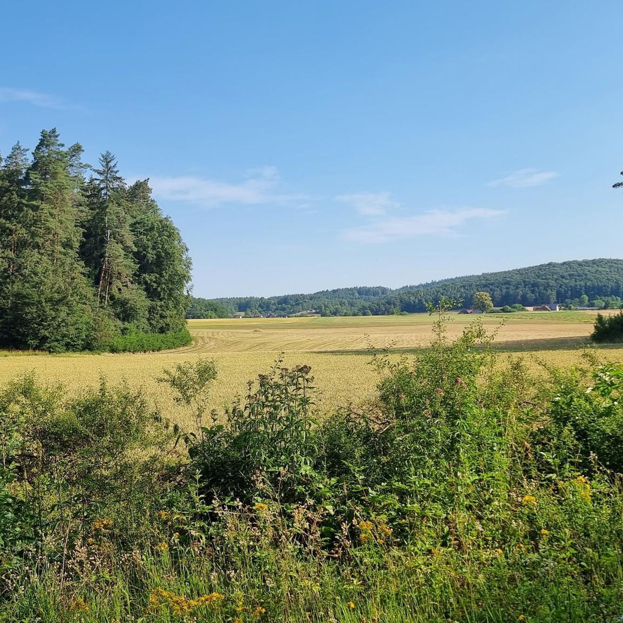
Mountain bike trails around Prüll are situated within a landscape characterized by river valleys, dense forests, and rolling hills. The region, including areas like the Wiesent Valley and Staatsforst Prüll Bayreuth, offers varied terrain suitable for mountain biking. Riders can expect a mix of forest paths, riverside trails, and ascents that provide elevation changes. This environment supports a range of mountain biking experiences, from leisurely rides to more challenging routes.
Best mountain bike trails around Prüll
- The most popular mountain…
Last updated: August 8, 2026
4.8
(47)
172
riders
45.6km
03:52
800m
800m
Hard mountain bike ride. Good fitness required. Advanced riding skills necessary. Some portions of the route may require you to push your bike.
4.8
(5)
68
riders
57.5km
05:21
1,100m
1,100m
Hard mountain bike ride. Very good fitness required. Advanced riding skills necessary. Some portions of the route may require you to push your bike.

Sign up for free
4.9
(10)
61
riders
32.8km
03:04
720m
730m
Hard mountain bike ride. Good fitness required. Advanced riding skills necessary. Some portions of the route may require you to push your bike.
4.6
(35)
131
riders
47.8km
04:03
900m
900m
Moderate mountain bike ride. Good fitness required. Advanced riding skills necessary.
4.4
(26)
118
riders
Hard mountain bike ride. Good fitness required. Advanced riding skills necessary. Some portions of the route may require you to push your bike.
Get access to more routes and recommendations from other explorers.
Sign up for free
Already have an account?
Our route recommendations are based on thousands of hikes, rides, and runs completed by other people on komoot.
Start today with a free account
Your next adventure awaits.
Login or Signup

Tips from the Community

The village of Hohenmirsberg is located about 7 km north of Pottenstein. Even from a distance, the striking observation tower is visible as a pentagonal wooden structure. It is located on the Hohenmirsberger Platte, at 614 m above sea level, one of the highest elevations in Franconian Switzerland. The first observation tower was built with round timber logs and inaugurated in September 1974. After only 12 years, the tower had to be demolished due to a rotten corner post. In May 1987, the current tower was inaugurated. It is 28 meters high, the viewing platform is at a height of 22 meters. To get up the tower, you have to climb over 100 steps. The tower is freely accessible and open all year round. The Hohenmirsberger Platte is hardly wooded. Therefore, it offers a magnificent panoramic view stretching to the Fichtelgebirge, the Upper Palatinate Forest, the western Swabian Jura, the foothills of the Rhön, and the Franconian Forest.
3
0
The Hohen Leite ridge, north of the village of Haßlach, is a nature reserve. At its highest point, a seating area awaits the nature enthusiast with a breathtakingly beautiful view. Nearby, the Hohenmirsberger Platte dominates the view to the northeast. To the east of it, Gößweinstein Castle can be perceived. The Hohen Leite ridge is also popularly known as the "Seven Brothers". The Hohe Leite, at an altitude of 561 meters, has always been a legendary forest and dry grassland area. The ridge is part of a diverse natural landscape shaped by its geological characteristics. Typical limestone formations, created over millennia by erosion and geological processes, are found here. These rocks and cliffs not only offer a breathtaking backdrop but also provide a habitat for numerous rare plants and animals.
3
0

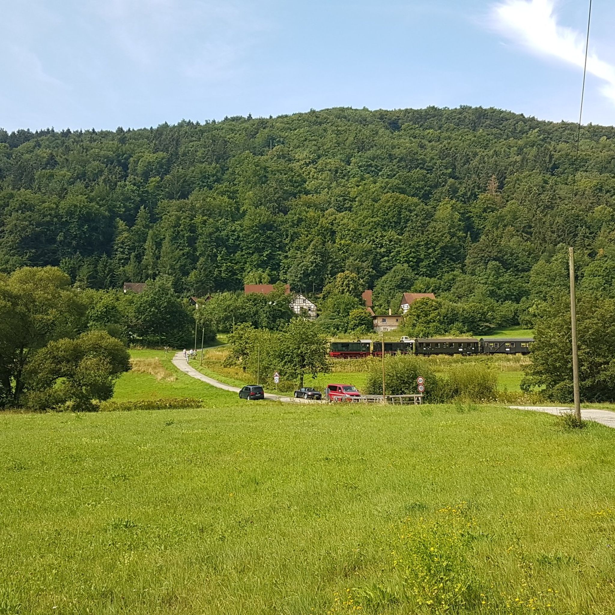
Too bad, I would have liked to see it with a train.
0
0

beautiful view of the castle, beautiful differently in every light
0
0

Burg Egloffstein is a former high medieval noble castle immediately west of the eponymous town of Egloffstein in the Forchheim district of Upper Franconia, Bavaria.
0
0

Beautiful trail, somewhat exposed with rough roots and some larger stones.
0
0

Very nice trail section, tight curves, flowing single trail and a few small technical sections every now and then.
2
0

Simply beautiful, historically interesting
0
0
Frequently Asked Questions
How many mountain bike trails are available around Prüll?
There are over 430 mountain bike trails around Prüll, offering a wide range of options for different skill levels. This includes 45 easy routes, 275 moderate trails, and 117 challenging paths for experienced riders.
What kind of terrain can I expect on mountain bike trails near Prüll?
The terrain around Prüll is characterized by river valleys, dense forests, and rolling hills. You'll find a mix of forest paths, riverside trails, and ascents that provide elevation changes, particularly in areas like the Wiesent Valley and Staatsforst Prüll Bayreuth.
Are there any easy mountain bike trails suitable for beginners or families in the Prüll area?
Yes, there are 45 easy mountain bike routes around Prüll. A good option for a less strenuous ride is the Pottenstein Castle – Püttlach Trail loop from Pottenstein, which is 11.6 km long and features gentle elevation changes.
What are some notable natural attractions or landmarks to see while mountain biking around Prüll?
The region offers several natural and historical points of interest. You can find impressive rock formations like the Fahnenstein Rock Arch, or enjoy views from the Schmidberg Observation Tower. The trails also pass by picturesque lakes such as the Ponds at the former Klumpermühle.
Are there any circular mountain bike routes around Prüll?
Many of the mountain bike trails around Prüll are designed as loops. For example, the popular Wiesent Valley – The beautiful Wiesent Trail loop from Pottenstein is a 45.6 km circular route, and the Left Püttlach Trail – Klumpertal Stream loop from Pottenstein is a moderate 23.7 km loop.
What do other mountain bikers say about the trails in Prüll?
The mountain bike trails around Prüll are highly regarded by the komoot community, with an average rating of 4.5 stars from over 1800 reviews. Riders often praise the varied terrain, the scenic river valleys, and the extensive forest paths that define the region's biking experience.
Are there challenging mountain bike routes for advanced riders near Prüll?
Yes, for advanced riders, there are 117 difficult trails. A demanding option is the Sparnagles Trail – Left Püttlach Trail loop from Prüllsbirkig, which spans 62.8 km and includes significant elevation changes, making it suitable for experienced mountain bikers.
What is the best time of year for mountain biking in the Prüll region?
Spring through autumn generally offers the best conditions for mountain biking around Prüll. During these seasons, the weather is typically mild, and the forest trails are most accessible and enjoyable. Always check local weather forecasts before heading out.
Are there places to eat or rest along the mountain bike trails?
While specific cafes directly on every trail are not listed, the region, particularly around towns like Pottenstein, offers opportunities for refreshment. You might find places like the Schüttersmühle Trout Smokehouse near some lake areas, providing options for a break.
Where can I find parking or access points for mountain bike trails in the Prüll area?
Many routes, especially those starting from towns like Pottenstein or Prüllsbirkig, typically have designated parking areas nearby. It's advisable to check the specific route details on komoot for information on starting points and parking facilities for each trail.
Can I bring my dog on the mountain bike trails around Prüll?
While many natural areas in Germany are dog-friendly, it's important to keep dogs on a leash, especially in forested areas or near wildlife. Always check local regulations for specific trails or nature reserves to ensure a pleasant and safe experience for everyone.
What are the typical durations for mountain bike rides in this region?
Ride durations vary significantly based on the trail's length and difficulty. Easy routes like the Pottenstein Castle – Püttlach Trail loop can take around 1 hour, while moderate trails such as the Rabenstein Castle – Tüchersfeld Rock Village loop might take about 2 hours 35 minutes. Longer, difficult routes can extend to 5-6 hours or more.
Most popular attractions around Prüll

Get inspired with the komoot mobile app


Explore more
Browse the best MTB trails in other regions.
