The best walks and hikes around Rende
4.5
(87)
487
hikers
37
hikes
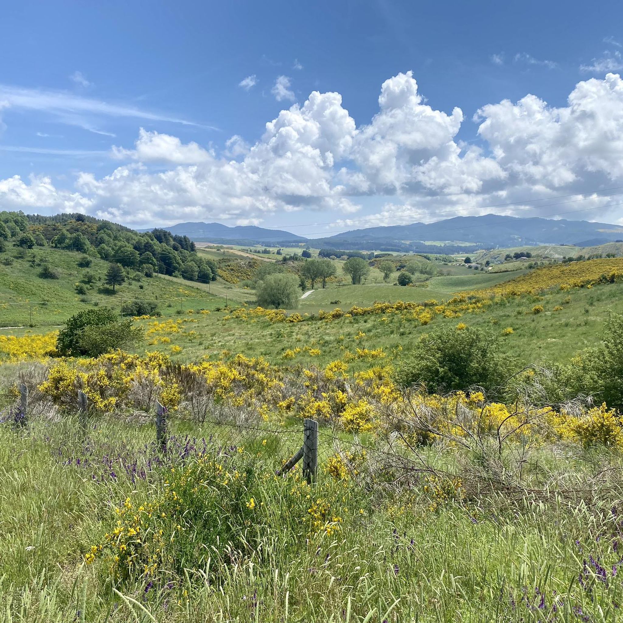
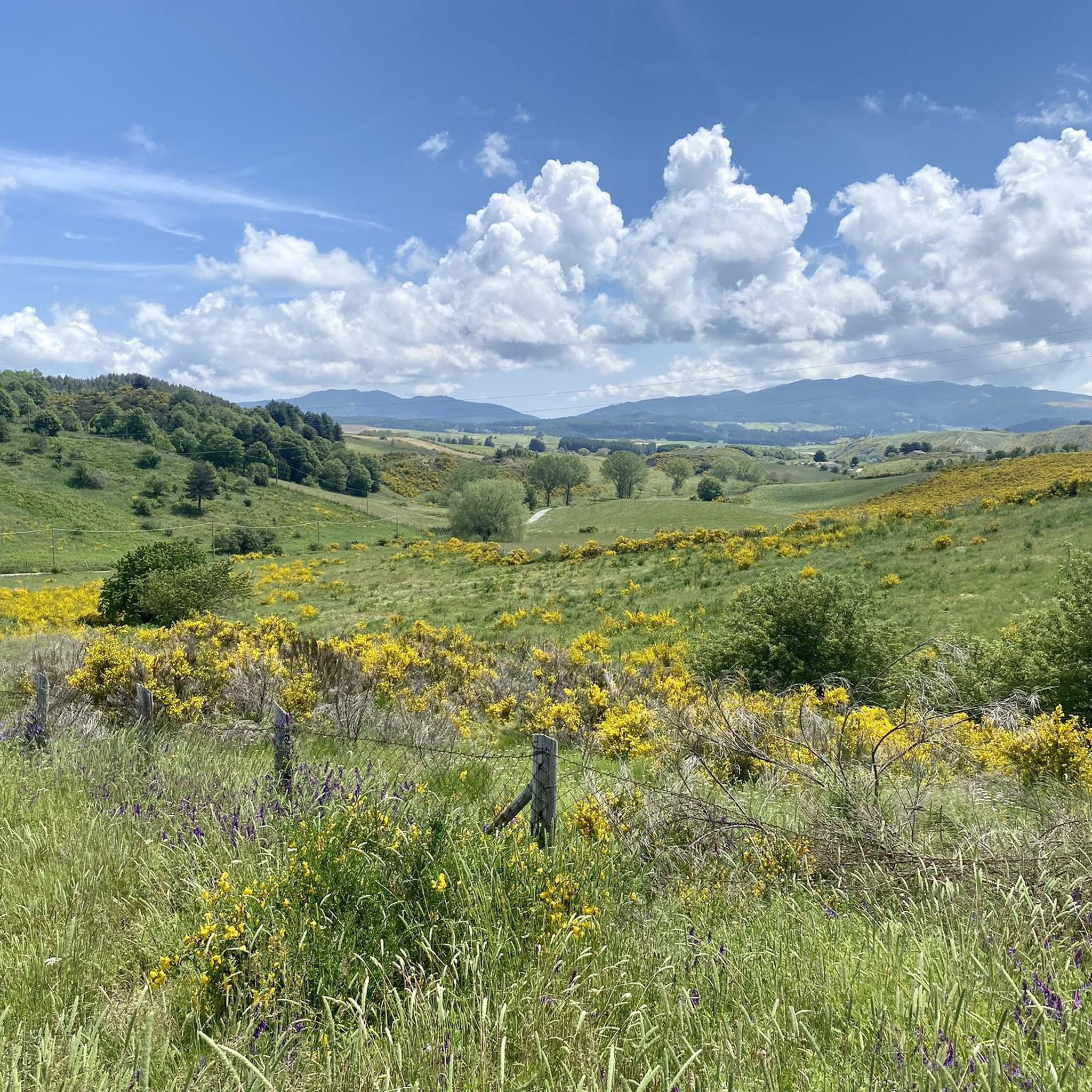
Hiking around Rende offers diverse landscapes for outdoor enthusiasts. The region is characterized by scenic hills, the Crati River valley, and proximity to the Sila foothills. Monte Cocuzzo, the highest peak of the Coastal Chain, provides a prominent landmark. This varied topography creates a rich backdrop for exploration.
Best hiking trails around Rende
- The most popular hiking route is Stamping point on the Franciscan Way – Beautiful trail loop from Cozzo Sprovvieri, a 6.7 miles (10.7 km) trail that takes 3 hours 8 minutes to complete. This moderate route is part of the historic Franciscan Way.
- Another top favourite among local hikers is Beautiful trail – Stamping point on the Franciscan Way loop from Marano Principato, a difficult 14.0 miles (22.5 km) path. This challenging route also follows a section of the Franciscan Way, offering extensive views.
- Local hikers also love the Monument to Telesio – Cosenza Cathedral loop from Castiglione Cosentino, a 11.8 miles (19.0 km) trail leading through varied terrain, often completed in about 4 hours 56 minutes.
- Hiking around Rende is defined by scenic hills, the Crati River valley, and the Sila foothills. The network offers options for different ability levels, from easy strolls to more demanding treks.
- The routes in Rende are highly rated by the komoot community with an average score of 4.7 stars from over 60 reviews. More than 400 hikers have used komoot to explore Rende's varied terrain.
Last updated: October 24, 2026
4.4
(5)
9
hikers
Moderate hike. Good fitness required. Easily-accessible paths. Suitable for all skill levels.
15
hikers
3.47km
00:53
10m
10m
Easy hike. Great for any fitness level. Easily-accessible paths. Suitable for all skill levels.

3.0
(2)
11
hikers
5.52km
01:26
30m
30m
Easy hike. Great for any fitness level. Easily-accessible paths. Suitable for all skill levels.
5.0
(2)
8
hikers
8.94km
02:18
40m
40m
Moderate hike. Good fitness required. Easily-accessible paths. Suitable for all skill levels.
4.5
(6)
15
hikers
25.3km
08:14
1,080m
1,080m
Hard hike. Very good fitness required. Easily-accessible paths. Suitable for all skill levels.
Get access to more routes and recommendations from other explorers.
Already have an account?
Our route recommendations are based on thousands of hikes, rides, and runs completed by other people on komoot.
Start today with a free account
Your next adventure awaits.

Tips from the Community

Here pilgrims can stamp their passport
6
0


This beautiful path is surrounded by greenery and here and there offers wonderful landscape views.
3
0
Frequently Asked Questions
How many hiking trails are available around Rende?
There are over 30 hiking routes around Rende, offering a wide range of experiences. These include 16 easy trails, 15 moderate routes, and 2 challenging treks, catering to various fitness levels and preferences.
Are there any family-friendly hiking options in Rende?
Yes, Rende offers several easy trails suitable for families. For a gentle stroll, consider the Cycle Path loop from Stadio Marco Lorenzon, which is 4.2 km long and takes just over an hour. The area's scenic hills and river valleys provide pleasant, accessible environments for all ages.
Can I bring my dog on the hiking trails near Rende?
Many trails around Rende are dog-friendly, allowing you to enjoy the natural beauty with your canine companion. It's always recommended to keep dogs on a leash, especially in more populated areas or near wildlife, and to check specific trail regulations before you go.
What kind of natural features can I expect to see while hiking in Rende?
Rende's hiking trails showcase diverse natural features, from the scenic hills and the Crati River valley to views towards the Sila foothills. A prominent landmark is Monte Cocuzzo, the highest peak of the Coastal Chain, which offers distinctive dolomitic formations and expansive vistas.
Are there any circular hiking routes available in Rende?
Yes, Rende features several circular routes, perfect for day trips. An example is the moderate Stamping point on the Franciscan Way – Beautiful trail loop from Cozzo Sprovvieri, which is 10.7 km long and part of the historic Franciscan Way.
What are some interesting landmarks or attractions near the hiking trails?
Beyond the trails, you can explore several notable attractions. The Historic Center of Cosenza offers cultural insights, while the majestic Ruffo Castle provides a glimpse into the region's history. For panoramic views, consider visiting View of the Summit of Monte Cocuzzo.
Are there any long-distance trails that pass through Rende?
Yes, Rende is situated along the Franciscan Way, a significant pilgrimage and long-distance trail. Several hiking routes in the area incorporate sections of this historic path, offering opportunities for more extensive exploration. The difficult Beautiful trail – Stamping point on the Franciscan Way loop from Marano Principato is a prime example.
What do other hikers say about the trails in Rende?
The hiking trails in Rende are highly regarded by the komoot community, with an average rating of 4.7 stars from over 60 reviews. Hikers often praise the diverse landscapes, the well-maintained paths, and the blend of natural beauty with historical significance, particularly along sections of the Franciscan Way.
Are there any challenging hikes for experienced trekkers?
For experienced hikers seeking a challenge, Rende offers more demanding routes. The Beautiful trail – Stamping point on the Franciscan Way loop from Marano Principato is a difficult 22.5 km path with significant elevation gain, providing extensive views and a rewarding experience.
What is the best time of year to hike in Rende?
Rende offers pleasant hiking conditions for much of the year. Spring and autumn generally provide mild temperatures and vibrant scenery, ideal for exploring. Summer can be warm, so early morning or late afternoon hikes are recommended. Winter hiking is possible, especially on lower elevation trails, but higher areas may experience colder conditions.
Are there any trails that combine cultural exploration with outdoor activity?
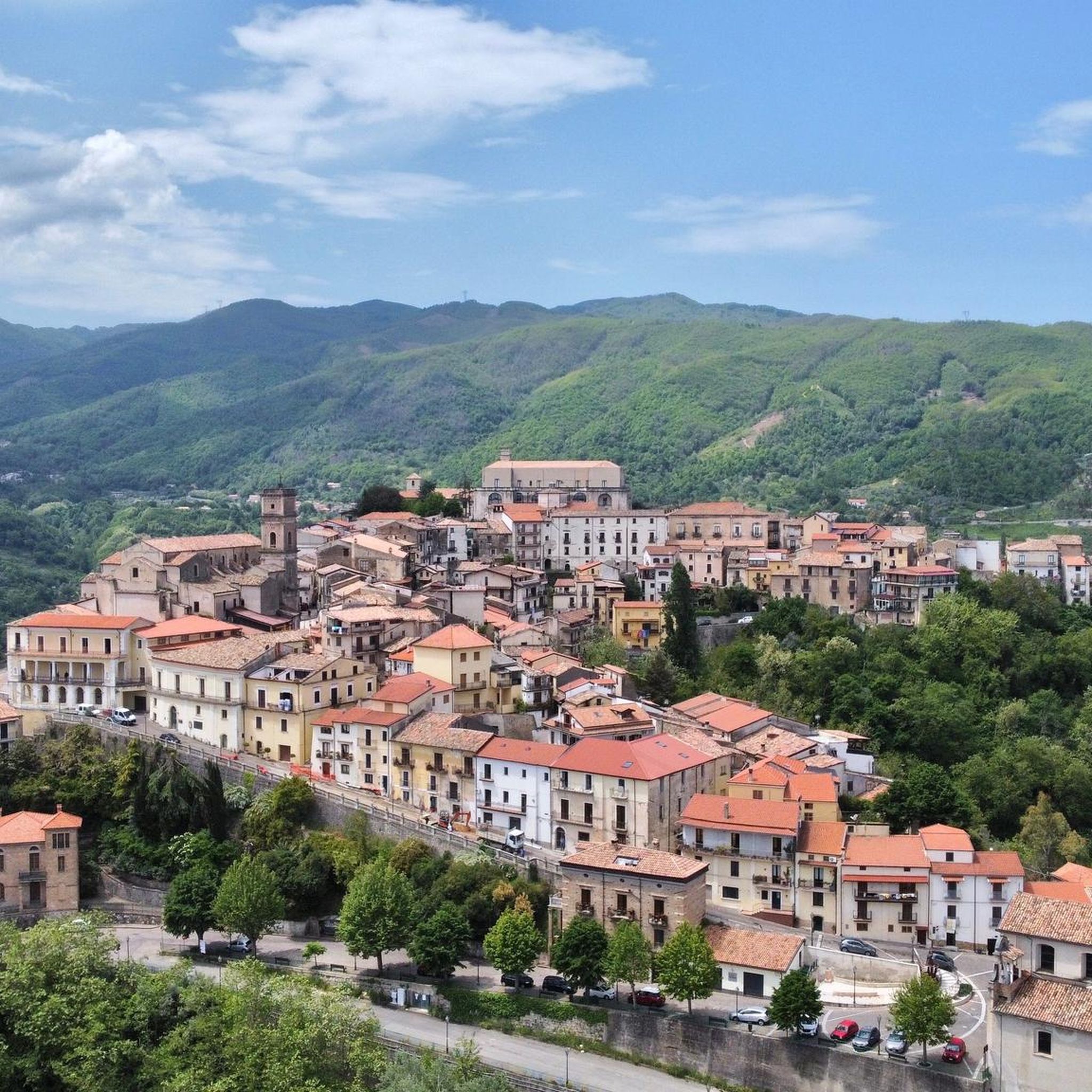
Absolutely. The historic center of Rende itself, with its medieval layout, old palaces, and churches, can be integrated into walks, blending cultural exploration with outdoor activity. Additionally, routes like the Monument to Telesio – Cosenza Cathedral loop from Castiglione Cosentino offer a mix of natural terrain and historical points of interest.
Is public transport available to reach hiking trailheads in Rende?
While Rende has local public transport, specific access to all trailheads can vary. It's advisable to check local bus schedules for routes connecting to areas outside the town center. Many trails are also accessible by car, with parking often available near starting points.
Most popular attractions around Rende

Get inspired with the komoot mobile app


Explore more
Browse the best Hikes in other regions.
