The best running trails around Spezzano Della Sila
4.8
(7)
297
runners
14
runs
Jogging routes around Spezzano Della Sila are primarily situated within the Sila National Park, a region characterized by vast forests, high plains, and mountainous terrain. The area features diverse landscapes, including the shores of Lake Cecita and ancient larch pine reserves. Elevations range from approximately 575 meters to 1813 meters, offering varied gradients for running.
Best jogging routes around Spezzano Della Sila
- The most popular jogging route is From Da Fago del Soldato to Monte Scuro – Parco Nazionale della Sila, a 2.9 miles (4.7 km) trail that takes 42 minutes to complete. This route offers a challenging ascent within the Sila National Park.
- Another top favourite among local runners is View of Monte Scuro – Monte Curcio loop from Camigliatello Silano, a difficult 24.4 miles (39.3 km) path. This extensive loop provides panoramic views of Monte Scuro and Monte Curcio, starting from Camigliatello Silano.
- Local runners also love the Camigliatello Silano – Monte Curcio loop from Camigliatello Silano, a 9.9 miles (15.9 km) trail leading through forested mountain slopes, often completed in about 2 hours 24 minutes.
- Jogging around Spezzano Della Sila is defined by extensive forests, the serene Lake Cecita, and the Sila Mountains. The network of running routes offers options for various ability levels, from easy paths to more challenging mountain ascents.
- The routes in Spezzano Della Sila are highly rated by the komoot community with an average score of 4.0 stars from over 6 reviews. More than 400 runners have used komoot to explore Spezzano Della Sila's varied terrain.
Last updated: July 4, 2026
20
runners
39.1km
05:32
1,130m
1,130m
Hard run. Very good fitness required. Sure-footedness, sturdy shoes and alpine experience required.
14
runners
15.8km
02:24
540m
540m
Hard run. Very good fitness required. Sure-footedness, sturdy shoes and alpine experience required.

Sign up for free
10
runners
21.2km
03:24
790m
790m
Hard run. Very good fitness required. Sure-footedness, sturdy shoes and alpine experience required.
10
runners
20.9km
02:59
630m
630m
Hard run. Very good fitness required. Sure-footedness, sturdy shoes and alpine experience required.
6
runners
5.87km
00:41
110m
120m
Hard run. Good fitness required. Sure-footedness, sturdy shoes and alpine experience required.
Get access to more routes and recommendations from other explorers.
Sign up for free
Already have an account?
Our route recommendations are based on thousands of hikes, rides, and runs completed by other people on komoot.
Start today with a free account
Your next adventure awaits.
Login or Signup
Popular around Spezzano Della Sila

Interiora - A Journey into the Remote Areas of Italy
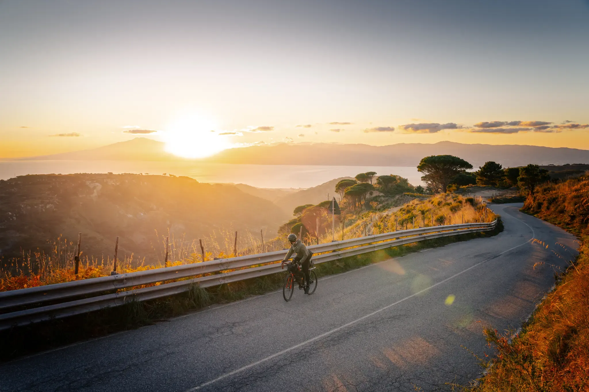
Cycle through the colourful heart of Italy’s Calabria – Ciclovia Parchi
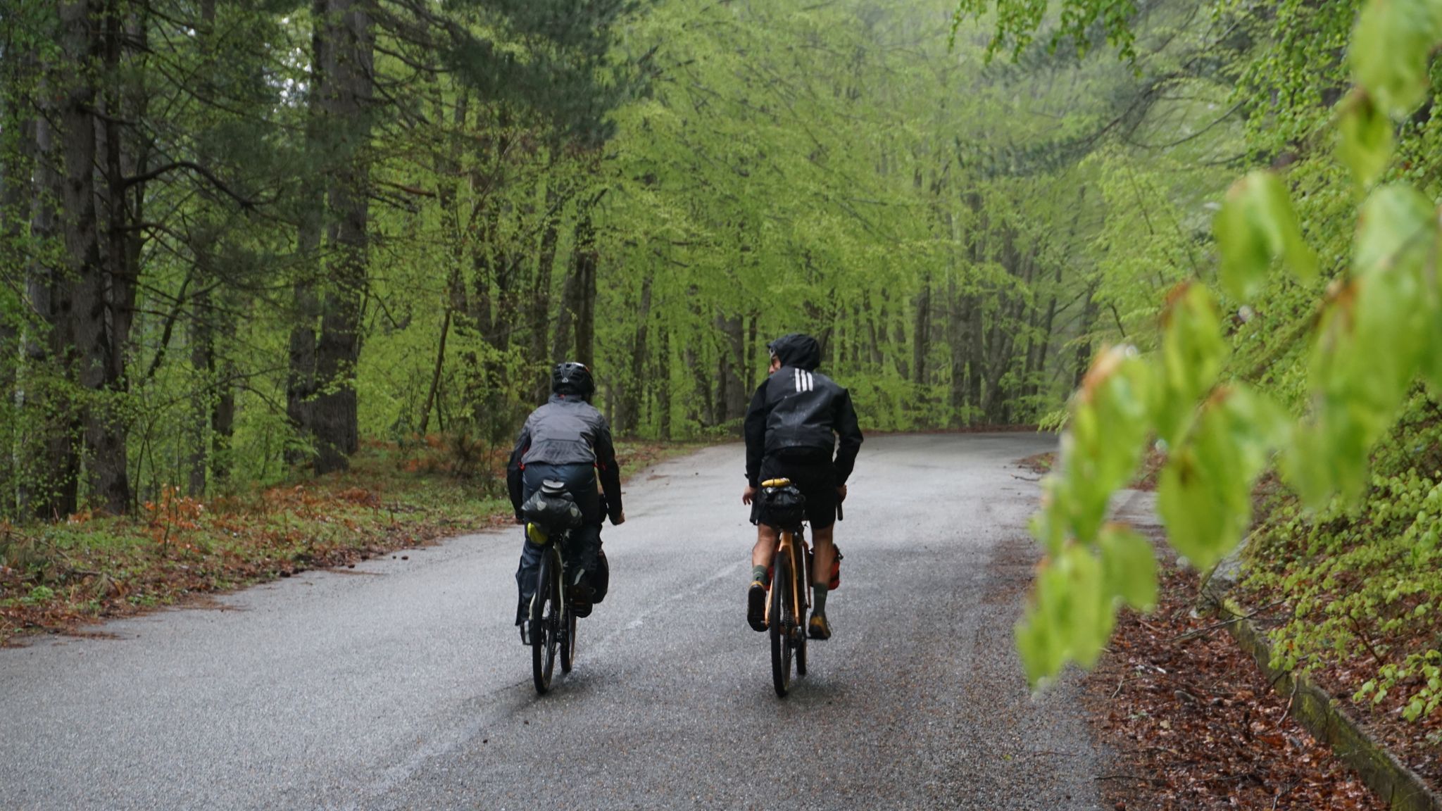
The unexpected mountain – Ciclovia Parchi Calabria

Along the backbone of Calabria – Sentiero Italia
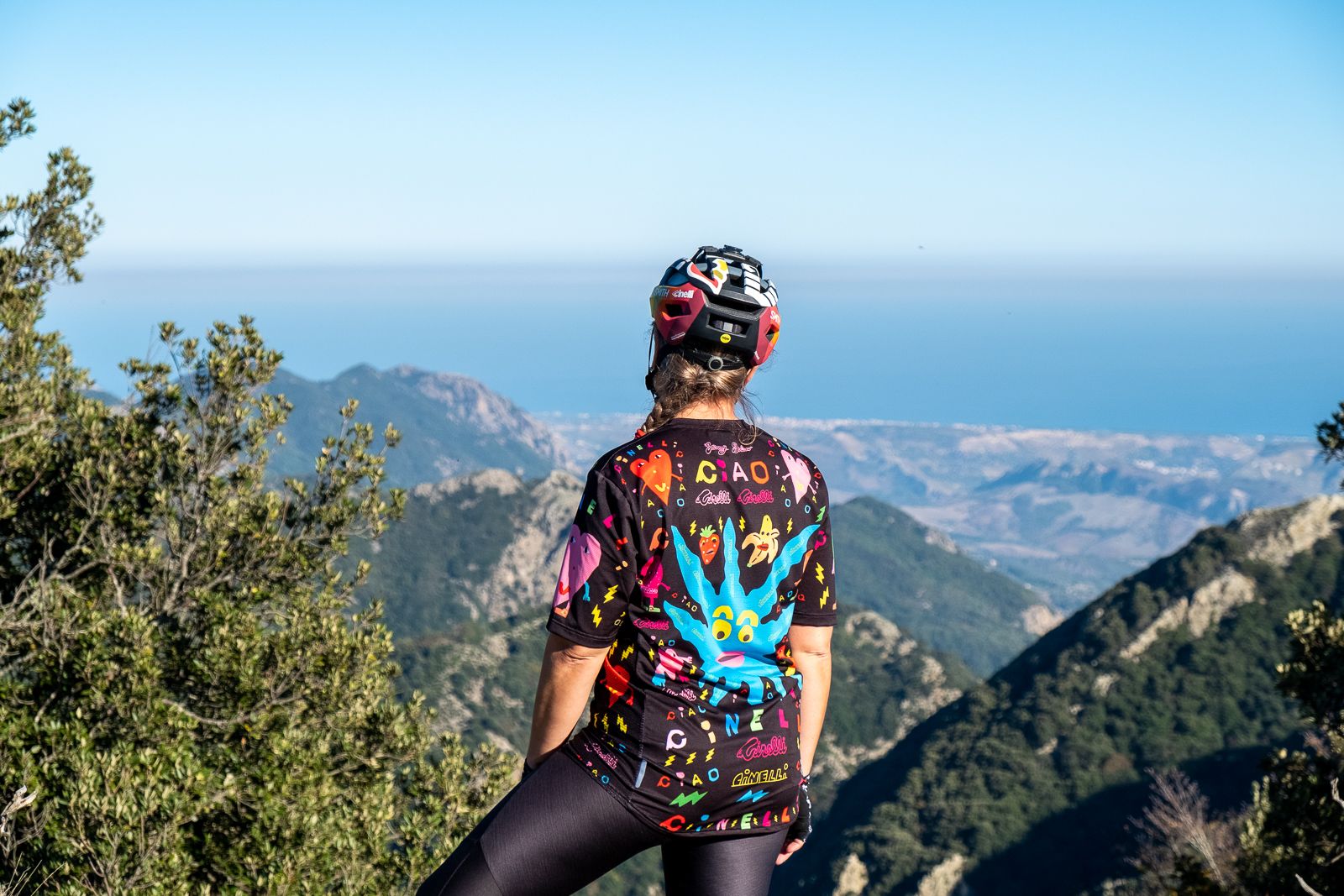
Nature & adventure — cycling through Calabria's national parks
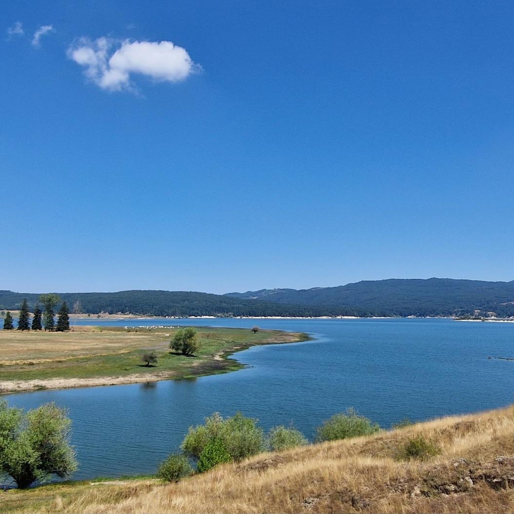
Hiking around Spezzano Della Sila
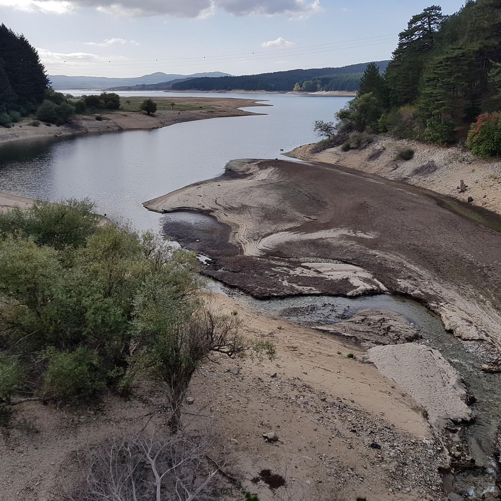
Road Cycling Routes around Spezzano Della Sila
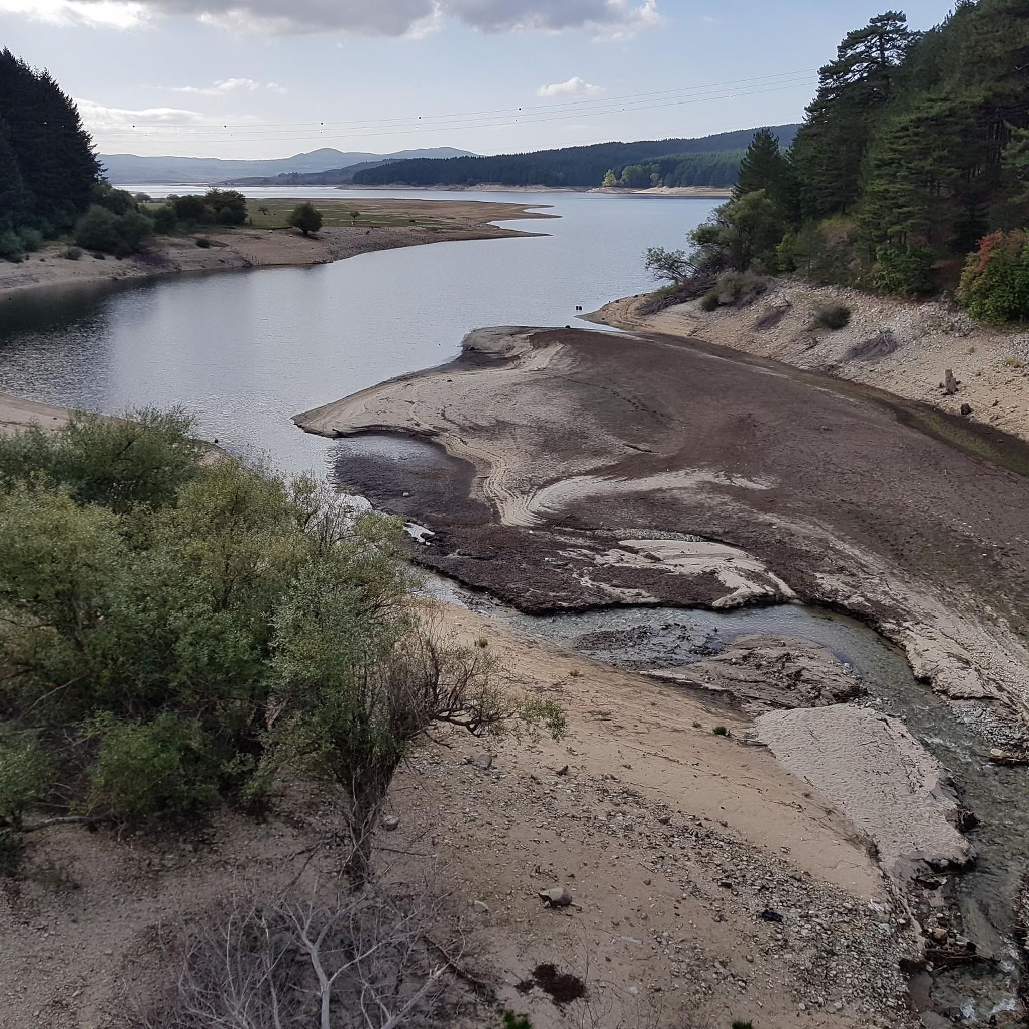
Cycling around Spezzano Della Sila
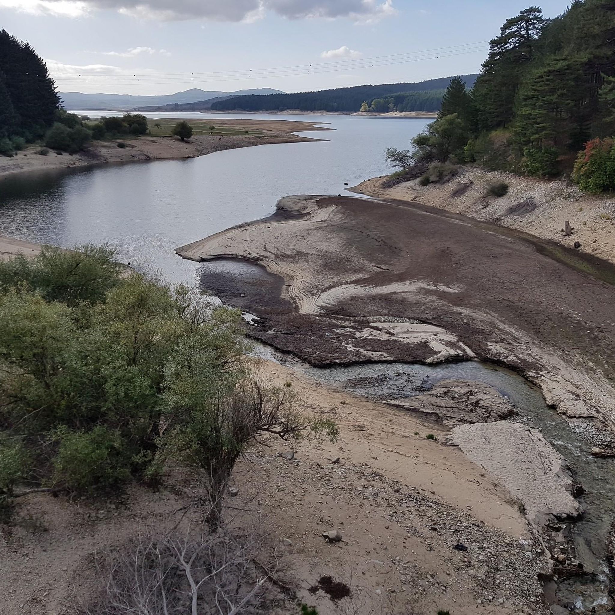
MTB Trails around Spezzano Della Sila
Other adventures around Spezzano Della Sila


Tips from the Community

One of the most beautiful routes in Italy. The road starts from the Monte Scuro pass and arrives at Lorica. You can ride a complete loop by continuing from Lorica to Camigliatello, Moccone and climbing again to Monte Scuro
0
0

Ideal destination for those who want a not-too-challenging trail starting from Camigliatello, along the Camigliati river park with the option of returning via cable car to Tasso (Camigliatello).
0
0

Arrival of the Camignatello Silano cable car and descents on its ski slopes
0
0

Modern gondola lift, which is also in operation during the summer months.
5
0

done several times on MTB, I recommend
0
0

Camigliatello is at the center of many hiking and cycling routes
2
0

Very nice and crowded town….
4
0
Frequently Asked Questions
How many running routes are available in Spezzano Della Sila?
There are over 25 jogging routes around Spezzano Della Sila, primarily located within the Sila National Park. These routes offer a variety of experiences, from easy paths to more challenging mountain ascents.
Are there any easy or beginner-friendly jogging routes in Spezzano Della Sila?
While many routes are moderate to difficult, the region does offer some easier paths. The From Da Fago del Soldato to Monte Scuro – Parco Nazionale della Sila route, though listed as difficult due to elevation, is a shorter option at 4.7 km (2.9 miles) that can be adapted for a less strenuous pace. For truly easy options, consider the accessible nature trails around the Cupone Visitor Center near Lake Cecita.
What kind of landscapes can I expect on the running trails around Spezzano Della Sila?
You'll experience diverse and pristine natural beauty. Routes wind through rich chestnut, conifer, and beech woods, offering shaded paths and clean air. The area is part of the Sila Grande, known for its vast forests, serene lakes like Lake Cecita, and stunning mountain vistas from peaks like Monte Scuro and Monte Curcio.
Are there any circular running routes in the area?
Yes, many of the running routes are circular. For example, the Camigliatello Silano – Monte Curcio loop from Camigliatello Silano is a popular 15.9 km (9.9 miles) trail through forested mountain slopes. Another option is the Camigliatello Silano loop from Camigliatello Silano, which is a shorter 5.9 km (3.7 miles) circular route.
Can I bring my dog on the running trails in Sila National Park?
Generally, dogs are permitted on trails within Sila National Park, but it's always best to keep them on a leash to protect wildlife and ensure their safety. Specific rules might apply to certain protected areas or nature reserves, so it's advisable to check local signage or park regulations for any restrictions.
What are some notable natural attractions or landmarks I can see while jogging?
The region is rich in natural beauty. You can run alongside the picturesque Lake Cecita, or explore the majestic I Giganti della Sila Nature Reserve, home to centuries-old larch pines. The area also features other beautiful lakes like Lorica and Lake Arvo, and the charming settlement of Camigliatello Silano.
What is the best time of year for jogging in Spezzano Della Sila?
Spezzano Della Sila, at an altitude of around 800 meters, offers a refreshing climate ideal for physical activity. Spring and autumn provide pleasant temperatures and vibrant scenery. Summer is also popular due to the cooler mountain air compared to the coast. Winter running is possible, but some higher elevation trails may be covered in snow, requiring appropriate gear.
Are there options for more challenging or advanced runners?
Absolutely. The Sila National Park offers numerous challenging routes with significant elevation changes. The View of Monte Scuro – Monte Curcio loop from Camigliatello Silano is a difficult 39.3 km (24.4 miles) path with over 1100 meters of ascent, providing extensive panoramic views. Another demanding option is the Monte Curcio loop from Camigliatello Silano, a 21.2 km (13.2 miles) route.
Where can I find parking for the jogging routes?
Many trailheads, especially those near popular starting points like Camigliatello Silano or the Cupone Visitor Center, offer designated parking areas. For routes deeper within the Sila National Park, look for smaller parking spots or pull-offs near trail access points. It's always a good idea to check specific route details on komoot for recommended parking locations.
Is public transport available to access the trails around Spezzano Della Sila?
Public transport options to directly access remote trailheads within the Sila National Park can be limited. However, the village of Spezzano Della Sila and nearby Camigliatello Silano are more accessible by local bus services. From these points, you can often find routes that start directly or are within walking distance.
What do other runners say about the trails in Spezzano Della Sila?
The running routes in Spezzano Della Sila are highly rated by the komoot community, with an average score of 4.0 stars from over 6 reviews. Runners often praise the extensive forests, the serene atmosphere around Lake Cecita, and the varied terrain that caters to different ability levels.
Are there any running routes that pass by Lake Cecita?
Yes, Lake Cecita is a prominent natural feature in the area, and its shores offer numerous paths perfect for jogging. The Cecita River Trail, for instance, is a moderate 5.0 km (3.1 miles) path that follows the river through forests alongside the lake, providing beautiful views and opportunities for wildlife observation.
Can I find cafes or refreshments near the running routes?
While many routes are in pristine natural areas, the nearby hamlet of Camigliatello Silano, an integral part of Spezzano Della Sila's mountainous territory, is a popular spot for mountain tourism and offers cafes, restaurants, and other amenities. The Cupone Visitor Center near Lake Cecita also provides facilities and is a good starting point for runs.
Most popular attractions around Spezzano Della Sila

Get inspired with the komoot mobile app


Explore more
Browse the best Running Trails & Routes in other regions.
