The best MTB trails in Los Alcornocales
4.8
(47)
414
riders
33
rides
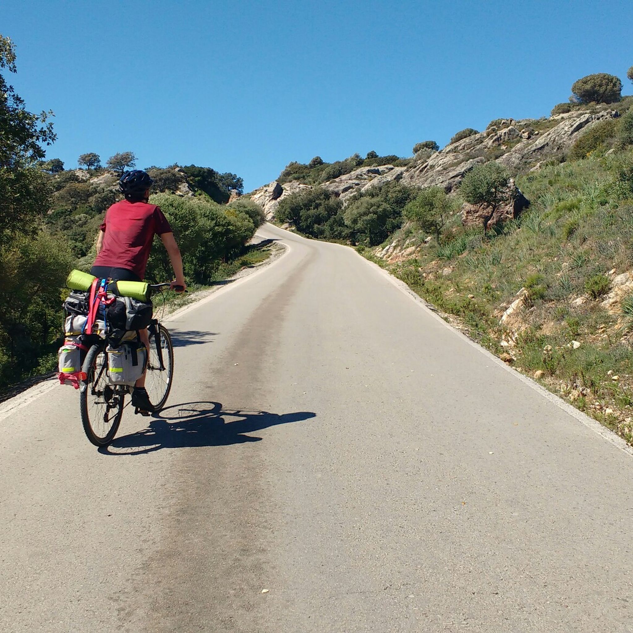
Mountain biking in Los Alcornocales offers diverse terrain within a vast natural park characterized by extensive cork oak forests, deep ravines known as "canutos," and varied topography. The landscape includes rugged mountains, valleys, and a network of rivers and reservoirs. Wind and water erosion have sculpted dramatic sandstone formations, providing a challenging and scenic environment for mountain bikers.
Best mountain bike trails in Los Alcornocales
- The most popular mountain bike trail is Parque Natural de Los Alcornocales – circular por…
Last updated: July 7, 2026
5.0
(1)
4
riders
37.8km
03:17
730m
720m
Moderate mountain bike ride. Good fitness required. Advanced riding skills necessary.
5.0
(5)
86
riders
56.3km
05:30
1,180m
1,180m
Hard mountain bike ride. Very good fitness required. Suitable for all skill levels.

Sign up for free
4.8
(8)
58
riders
47.6km
02:49
200m
200m
Moderate mountain bike ride. Good fitness required. Suitable for all skill levels.
4.8
(4)
28
riders
46.2km
04:26
900m
900m
Moderate mountain bike ride. Good fitness required. Suitable for all skill levels.
4.0
(1)
32
riders
40.9km
03:56
710m
710m
Moderate mountain bike ride. Good fitness required. Suitable for all skill levels.
Get access to more routes and recommendations from other explorers.
Sign up for free
Already have an account?
Our route recommendations are based on thousands of hikes, rides, and runs completed by other people on komoot.
Start today with a free account
Your next adventure awaits.
Login or Signup
Popular around Los Alcornocales

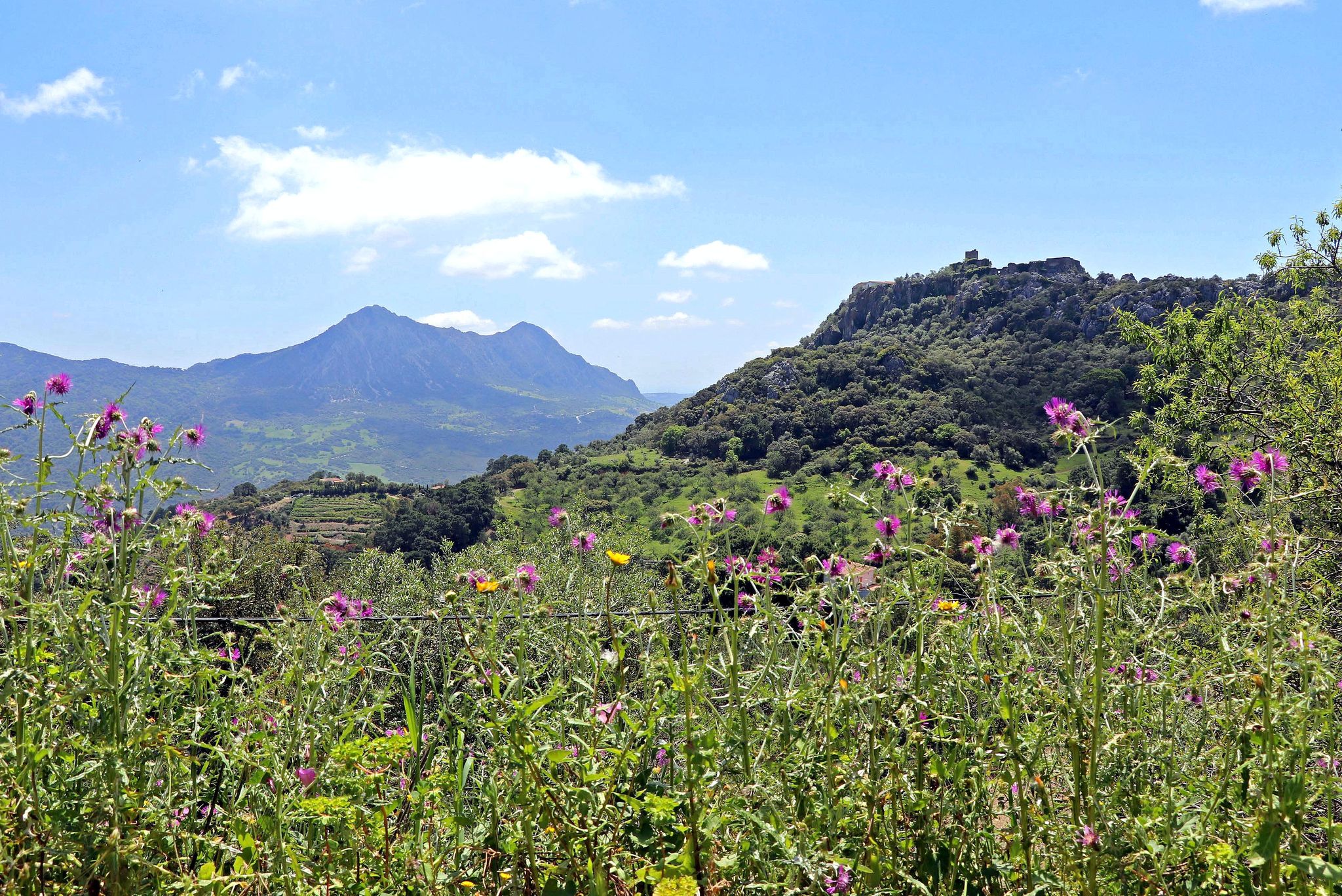
Andalusia without limits – Tarifa to La Puebla de Don Fabrique on the GR 7
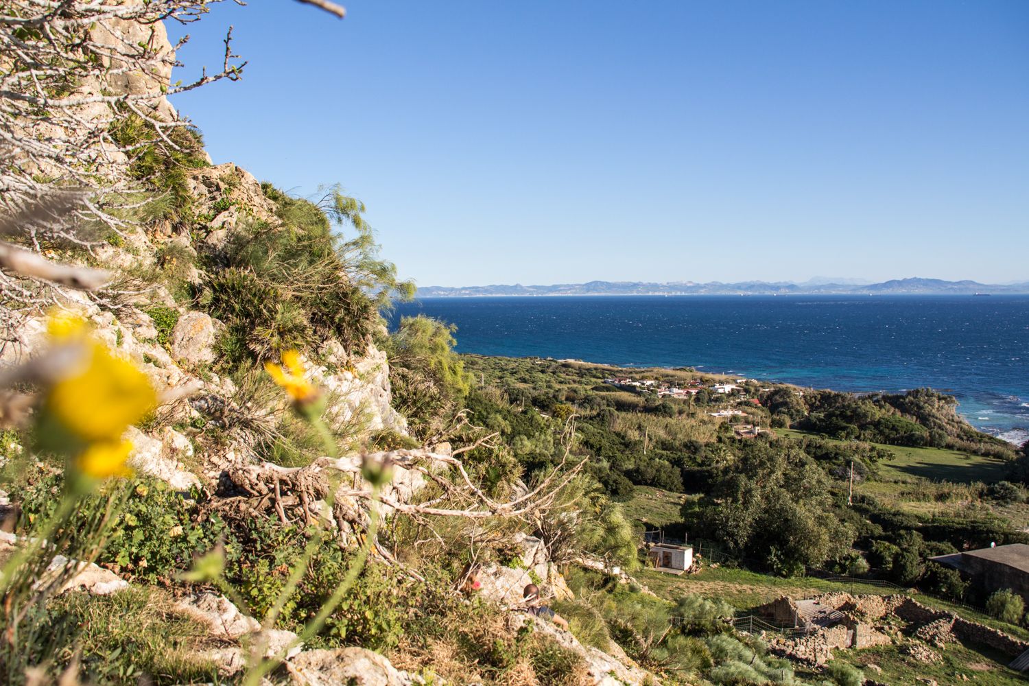
A jewel of Malaga – Gran Senda de la Serranía de Ronda (GR 141)
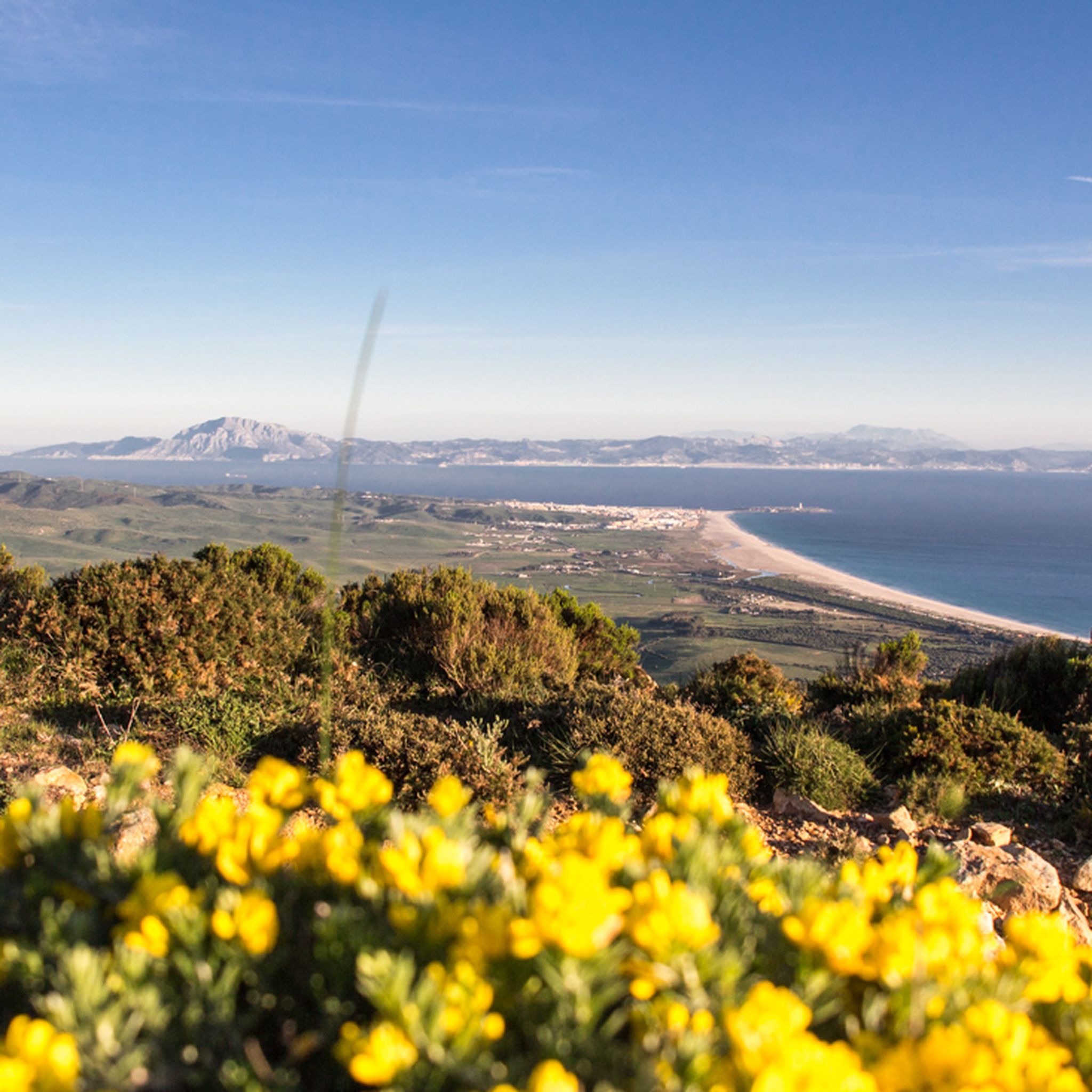
Tarifa – Andalusian landscapes between two oceans
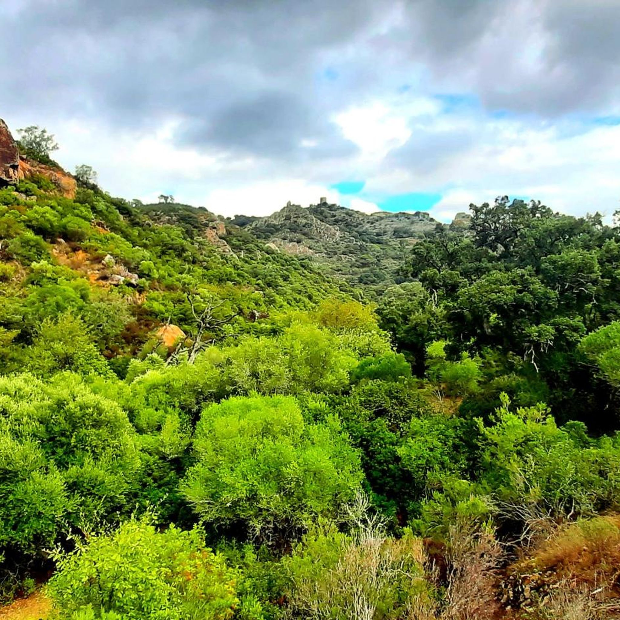
Hiking in Los Alcornocales
Road Cycling Routes in Los Alcornocales
Cycling in Los Alcornocales
Running Trails in Los Alcornocales

Gravel biking in Los Alcornocales
Other adventures in Los Alcornocales


Tips from the Community


Family trip
0
0

Following the picturesque Sendero del Valdeinfierno we come across this crossing of the stream that bears his name. A very quiet place to take a break on your route and enjoy this beautiful place.
1
1

Reservoir for the waters of the Palmones River belonging to the municipality of Los Barrios and framed in the Natural Park of Los Alcornocales. The A-381 road crosses it over a new bridge, leaving the old bridge for recreational use.
3
0
At this point, on the other side of the road, there is a series of curious rock formations, which like fluffy clouds in the sky suggest numerous shapes to the imagination. One of them is popularly known as "Montera del Torero" for its unmistakable shape. They can be accessed by walking along a path that leaves the road.
3
0
Very popular area for mountain biking due to its numerous tracks and paths that offer multiple combinations of routes, always accompanied by good views and a privileged environment.
2
0

The Port of Membrillo is located on the Picacho Peguera cycle lane, a route that is heavily traveled by cyclists, especially in the mornings and on weekends. To do this 42.5 km route between the recreational area of Monte Picacho and the Peguera stream that passes through Los Alcornocales Natural Park from September 15 to February 15, it is necessary to consult the natural park office to carry out because there are activities of big game in the area.
0
0
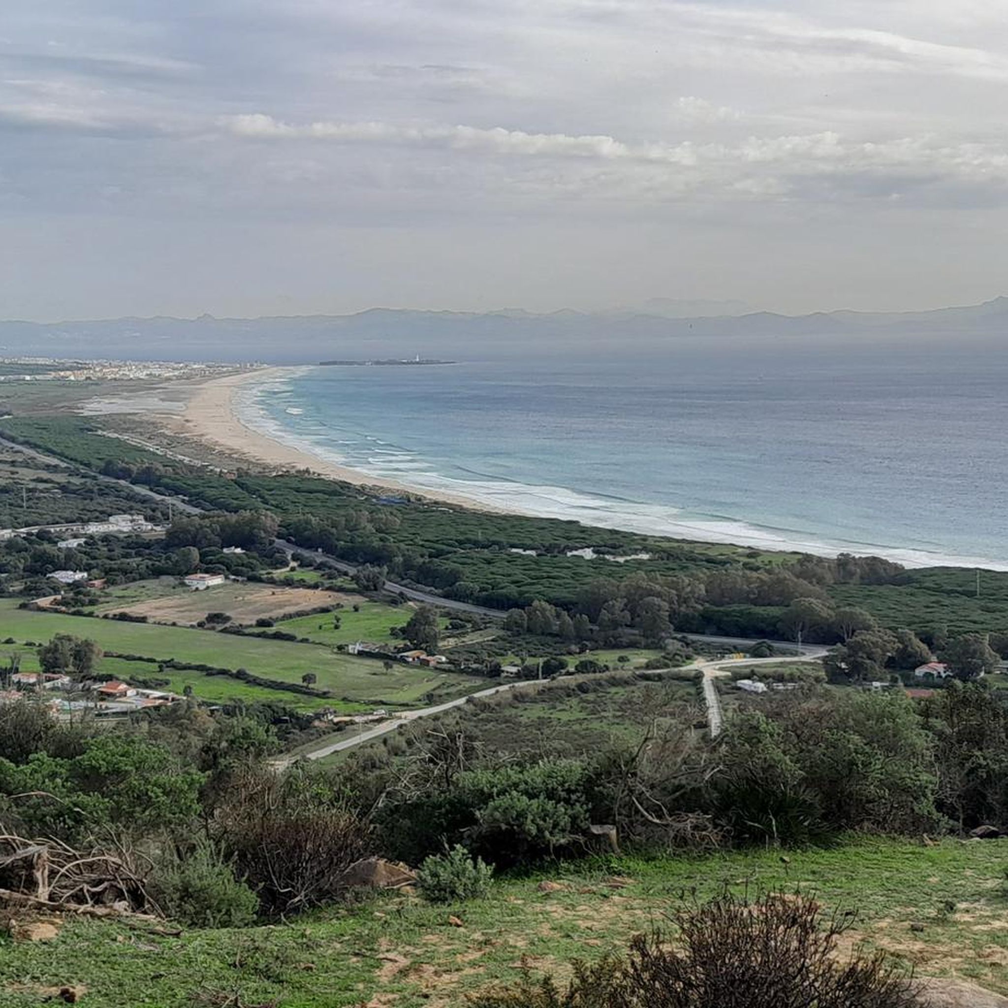
Views of the Charco Redondo reservoir (and the A-381 road that crosses it) and peaks of the Sierra del Niño
0
0
Frequently Asked Questions
How many mountain bike trails are there in Los Alcornocales?
Los Alcornocales offers a wide range of mountain biking opportunities, with over 30 trails available. These routes cater to various skill levels, including easy, moderate, and difficult options.
What are the difficulty levels of mountain bike trails in Los Alcornocales?
The trails in Los Alcornocales range from easy to difficult. You'll find 3 easy routes, 16 moderate routes, and 11 challenging routes, ensuring options for all experience levels.
Are there family-friendly mountain bike trails in Los Alcornocales?
Yes, there are easy routes suitable for families. For example, the Calleja Real Nature Trail loop from Cortijo Fuente del Bacalao is an easy 9.5-mile (15.3 km) route with minimal elevation gain, perfect for a relaxed family ride.
What kind of terrain can I expect on mountain bike trails in Los Alcornocales?
You can expect diverse terrain, from vast cork oak forests that give the park its name to unique 'canutos'—deep, narrow ravines with relict laurel forests. Trails also traverse rugged mountains, valleys, and areas with dramatic sandstone formations. The varied landscape provides both scenic beauty and technical challenges.
What natural features or viewpoints can I see along the trails?
Mountain biking in Los Alcornocales offers numerous scenic spots. You can ride through dense cork oak forests and experience the unique, humid microclimates of the 'canutos'. Many routes provide panoramic views from various viewpoints, such as the Windmills Viewpoint or the Scenic viewpoint near the Barbate Dam. You might also pass by reservoirs like the Charco Redondo Reservoir.
When is the best time of year for mountain biking in Los Alcornocales?
The park is enjoyable for mountain biking throughout much of the year. Spring and autumn offer pleasant temperatures, while the shaded cork oak forests and humid 'canutos' can provide relief during warmer months. During summer, 'La Playita' de Arroyomolinos offers a refreshing spot with river water.
Are there circular mountain bike routes available?
Yes, many routes in Los Alcornocales are circular. An example is the Parque Natural de Los Alcornocales – circular por la Sierra de Montecoche, a moderate 23.5-mile (37.8 km) trail that takes you through dense cork oak forests and offers views of the Sierra de Montecoche.
Is there a dedicated mountain biking center in Los Alcornocales?
Yes, the Los Alcornocales MTB Centre, located in Los Barrios, serves as a central hub for mountain bikers. It provides information, route planners, GPS waypoints, and even bicycle repair services. The center manages a network of 8 routes totaling over 436 kilometers, with typical departure points at Montera Plaza and Venta El Frenazo. You can find more information about the center at visitcorkterritories.co.uk.
What cultural attractions can I explore near the mountain bike trails?
Beyond the natural beauty, you can visit picturesque white villages such as Alcalá de los Gazules or Castellar de la Frontera. The historic Castellar de la Frontera Castle offers panoramic views and cultural insights into the region's Moorish past.
What do other mountain bikers enjoy the most about mountain biking in Los Alcornocales?
The komoot community highly rates the mountain biking experience in Los Alcornocales, with an average score of 4.8 stars from over 40 reviews. Riders often praise the diverse terrain, the stunning cork oak forests, and the challenging yet rewarding routes that offer panoramic views of the mountains and valleys.
Are there any routes that offer significant elevation challenges?
Absolutely. For riders seeking a challenge, the View from Montecoche – Panoramic view from Montecoche loop from Fuente de la Teja is a difficult 35-mile (56.3 km) path with over 3,800 feet (1,176 meters) of elevation gain, rewarding riders with extensive panoramic views from Montecoche.
Can I find routes that pass through varied landscapes?
Yes, many routes showcase the region's diverse landscapes. For instance, the La Almoraima – Gibraltar border crossing loop from Almoraima is a 30.5-mile (49.1 km) trail that leads through a mix of environments, offering a varied and engaging ride.
Most popular routes in Los Alcornocales
Most popular attractions in Los Alcornocales

Get inspired with the komoot mobile app


Explore more
Browse the best MTB trails in other regions.
