The best running trails in Sierras De Tejeda, Almijara Y Alhama
4.2
(152)
4,512
runners
20
runs
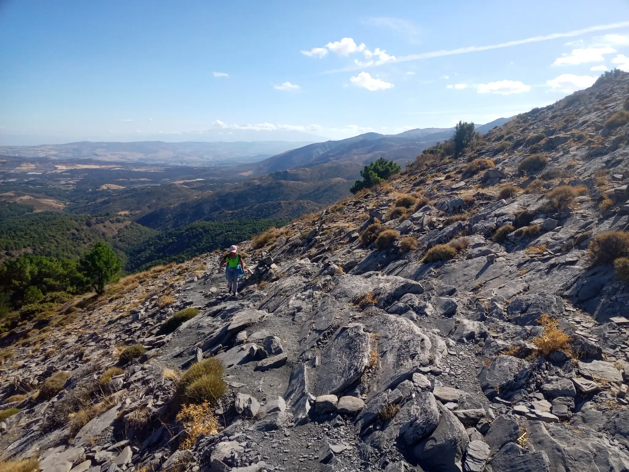
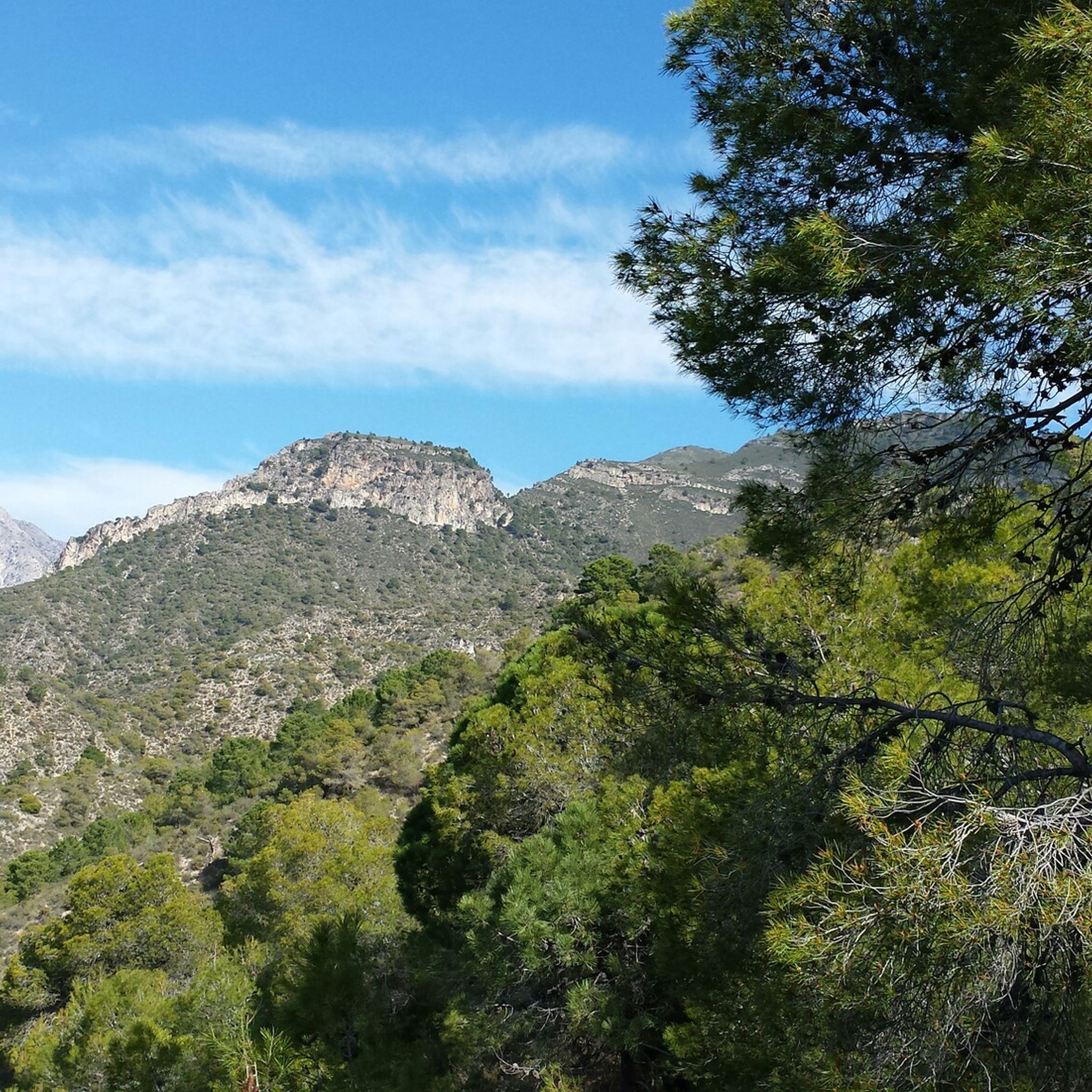
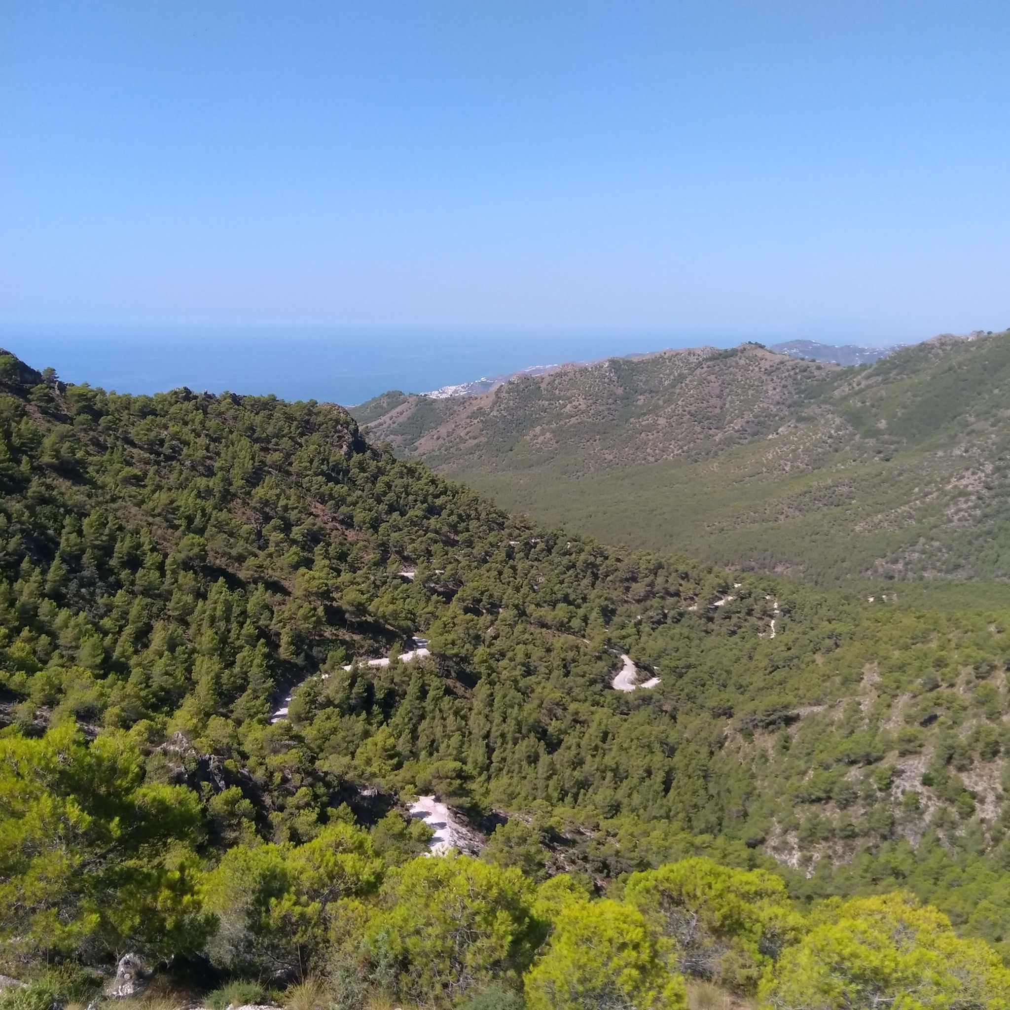
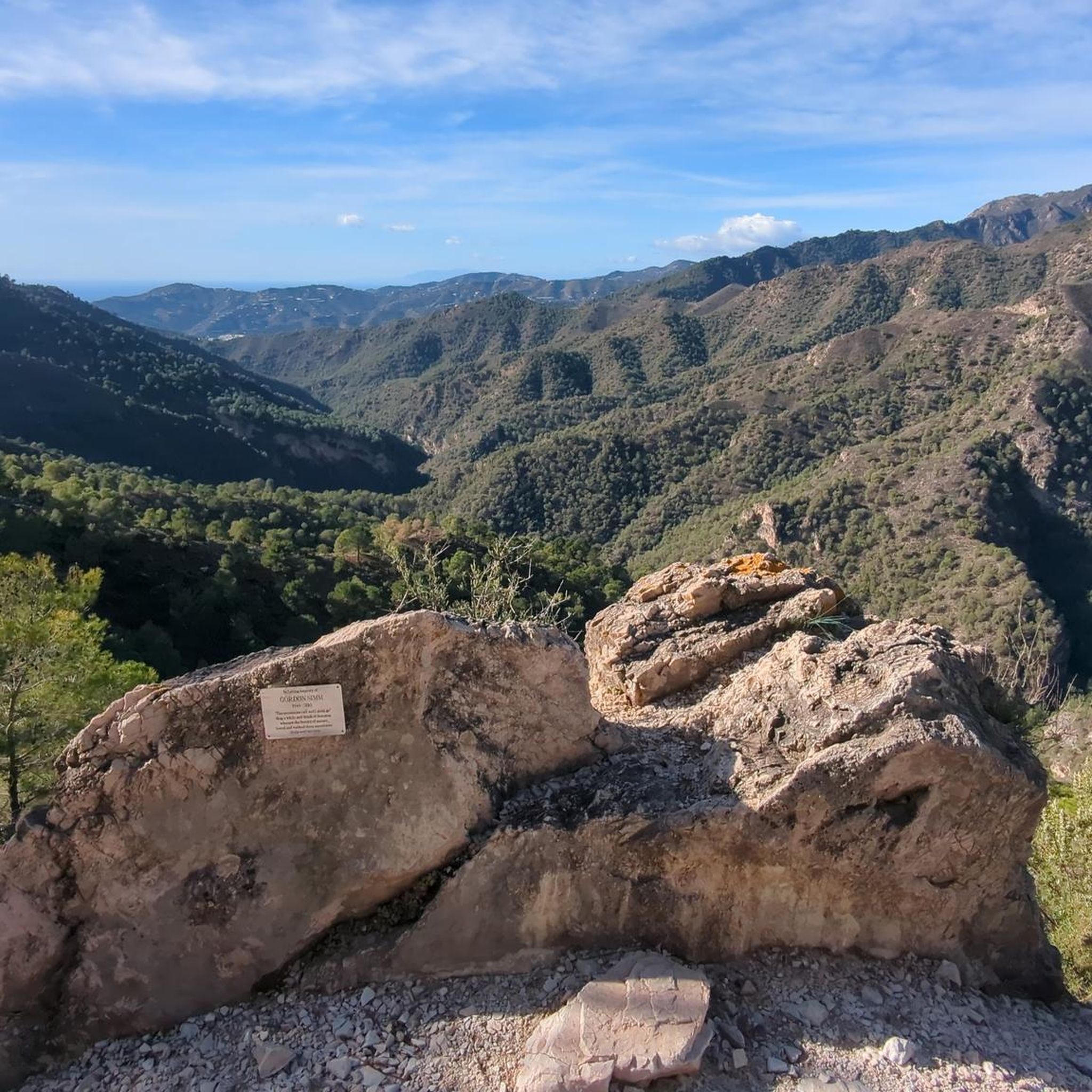
Jogging in Sierras De Tejeda, Almijara Y Alhama offers routes through a diverse landscape characterized by rugged mountainous terrain, sharp peaks, and deep ravines. The region features extensive pine forests at lower elevations and distinctive white and grey marble formations. Water features like fast-flowing rivers and dramatic gorges add to the natural beauty. This natural park provides a challenging and scenic environment for running.
Best jogging routes in Sierras De Tejeda, Almijara Y Alhama
- The most popular jogging route is…
Last updated: October 10, 2026
26
runners
7.05km
00:58
240m
240m
Jog the El Saltillo Trail, a moderate 4.4-mile route with 787 feet of gain, featuring stunning gorge views and a suspension bridge.
26
runners
18.6km
03:02
1,220m
1,220m
Hard run. Very good fitness required. Mostly paved surfaces. Suitable for all skill levels.

5.0
(1)
31
runners
35.3km
05:50
2,280m
2,280m
Hard run. Very good fitness required. Mostly paved surfaces. Suitable for all skill levels.
14
runners
8.42km
00:59
210m
210m
Moderate run. Good fitness required. Mostly paved surfaces. Suitable for all skill levels.
10
runners
17.2km
02:45
1,020m
1,020m
Hard run. Very good fitness required. Mostly paved surfaces. Suitable for all skill levels.
Get access to more routes and recommendations from other explorers.
Already have an account?
Our route recommendations are based on thousands of hikes, rides, and runs completed by other people on komoot.
Start today with a free account
Your next adventure awaits.
Popular around Sierras De Tejeda, Almijara Y Alhama

Other adventures in Sierras De Tejeda, Almijara Y Alhama

Tips from the Community

Maroma and back. Great day in the hills.
0
1

The Barranco de la Coladilla route leads through a spectacular landscape in the Sierras de Tejeda, Almijara y Alhama Nature Park. It runs on varied gravel paths through the impressive Barranco de la Coladilla, a wild and romantic gorge with impressive rock formations. You pass the El Pinarillo recreation area, with shady picnic areas and rest areas. A detour to the Fuente del Esparto is recommended, a natural water source where you can refill your water bottles.
4
0
The Aquädukt del Águila is a truly impressive structure. It was built in the 19th century (1879-1880) to transport water from the Barranco de Coladilla river to a sugar cane factory in the region. The structure impresses with its four-story arches in the Neo-Moorish style, reminiscent of Andalusian architecture. It remains a landmark of the region and a popular destination for visitors who wish to enjoy both the architecture and the views. Although the aqueduct is no longer used for its original purpose, it is an important example of the engineering of its time.
4
0

The new suspension bridge is the highlight of this hike. You should not be afraid of heights, but the bridge is very stable and sways very little. But the path there from Canillas de Aceituno is also just beautiful and relatively flat.
4
0

Impressive and quite large aqueduct.
1
0

There is a beautiful suspension bridge over the gorge with the waterfall. I didn't find a path to the waterfall itself
1
2

The path to the waterfall is closed shortly after the junction to the suspension bridge! As of: March 2024
2
2

The Águila Aqueduct (translated means the eagle) in Nerja is a very large aqueduct and immediately catches the eye. 37 arches, built of brick, span four floors here. In total, the aqueduct is about forty meters high. The water supply is via an open channel on the top floor. The entire structure, especially on its northern side with its decorations, is reminiscent of the Mudéjar style typical of Andalusia. The Mudéjares were adapted Muslims who were allowed to remain in Spain after the retreat of Arab rule from the 11th to the 15th century.
4
0
Frequently Asked Questions
How many running routes are available in Sierras De Tejeda, Almijara Y Alhama?
There are nearly 20 dedicated running routes in the Sierras De Tejeda, Almijara Y Alhama Natural Park. These trails cater to various fitness levels, offering diverse experiences across the region's rugged landscapes.
What are the typical difficulty levels for running trails in the park?
The park offers a range of difficulties. You'll find a good selection of moderate routes, with about 6 available, and a larger number of challenging trails, totaling around 12. The mountainous terrain means many routes involve significant elevation changes, making them ideal for runners seeking a vigorous workout.
Are there any good circular running routes in Sierras De Tejeda, Almijara Y Alhama?
Yes, the park features several excellent circular routes. For a scenic moderate option, consider the View of the Sierra de Almijara – Frigiliana loop from Frigiliana, which offers beautiful vistas and passes through charming areas.
What kind of terrain can I expect on the running trails?
The terrain in Sierras De Tejeda, Almijara Y Alhama is predominantly mountainous and rugged, characterized by sharp peaks, steep slopes, and deep ravines. You'll encounter paths through extensive pine forests at lower elevations and distinctive white and grey marble formations at higher altitudes. Some routes also offer coastal proximity, adding to the variety.
Are there any family-friendly running routes in the natural park?
While many routes are challenging, some sections or shorter trails can be suitable for families looking for a less strenuous run or walk. It's best to check the specific route details on komoot for distance and elevation to ensure it matches your family's ability. The natural beauty, including pine forests and water features, makes any outing enjoyable.
Can I bring my dog on the running trails?
Many trails within the natural park are dog-friendly, but it's always advisable to keep your dog on a leash, especially in areas with wildlife or near other visitors. Ensure your dog is fit for the terrain and bring enough water for both of you, as some routes can be long and exposed.
What natural features or landmarks can I see along the running routes?
The park is rich in natural beauty. You might encounter dramatic gorges like Cahorros Bajos del Río Higuerón, or the unique Río Chillar riverbed. Some trails also lead past impressive geological formations and offer panoramic views from high points like the Enginal Pass. The highest point, La Maroma, offers spectacular views combining the Mediterranean Sea with inland beauty.
Are there any routes that lead to viewpoints or offer great scenic vistas?
Absolutely. Given the mountainous terrain, many routes provide stunning panoramic views. The CP3 - DB26 – La Maroma Summit loop from Monumento Natural Tajos de Alcázar, for instance, takes you to the highest peak, offering unparalleled vistas of the surrounding landscape and the Mediterranean coast.
What do other runners enjoy most about jogging in Sierras De Tejeda, Almijara Y Alhama?
The area is highly rated by the komoot community, with an average score of 4.3 stars from over 145 reviews. Runners often praise the challenging and diverse terrain, the stunning natural beauty, and the opportunity to experience both mountainous landscapes and glimpses of the coast. The well-maintained trails and clear signage also receive positive feedback.
Is there public transport access to the trailheads in the park?
Public transport access to specific trailheads within the vast natural park can be limited. While some of the charming white villages like Frigiliana and Cómpeta, which serve as gateways to the park, are accessible by bus, reaching more remote starting points often requires a car. It's advisable to check local bus schedules for the villages closest to your desired route.
Where can I find parking for the running trails?
Parking is generally available near the starting points of many popular trails, especially close to villages like Frigiliana or Cómpeta, or at designated recreational areas. For example, routes like the Maroma – Mirador del Valle del Temple loop start from Área Recreativa El Robledal, which typically has parking facilities. Always check specific route descriptions for parking recommendations.
What is the best time of year for running in Sierras De Tejeda, Almijara Y Alhama?
The best time for running is generally during the spring (March to May) and autumn (September to November) when temperatures are milder and the natural scenery is vibrant. Summers can be very hot, especially at lower elevations, making early morning or late afternoon runs preferable. Winters are cooler, and higher altitudes may experience snow, offering a different, more challenging experience.
Most popular routes in Sierras De Tejeda, Almijara Y Alhama
Most popular attractions in Sierras De Tejeda, Almijara Y Alhama

Get inspired with the komoot mobile app


Explore more
Browse the best Running Trails & Routes in other regions.
