The best road cycling routes in Sierra De Hornachuelos
4.5
(10)
1,134
riders
35
rides
Road cycling in Sierra de Hornachuelos features a varied terrain of gentle hills, ravines, and elevated plains, carved by rivers such as the Bembézar and Guadalora. The region is characterized by expansive Mediterranean forests of holm oaks and cork oaks, alongside lush riverine ecosystems. Cyclists will find well-maintained routes, many with paved surfaces, offering quiet stretches through woodlands and scenic views of the mountains and reservoirs. This area provides a range of road cycling options suitable for different fitness levels.
Best road cycling routes in Sierra de Hornachuelos
- The most popular road cycling route is Sierra de Hornachuelos - Las Navas de la Concepción Loop, a 45.4 miles (73.1 km) trail that takes 3 hours 30 minutes to complete. This difficult route features significant elevation gain through the natural park.
- Another top favourite among local road cyclists is Parque Natural Sierra de Hornachuelos — circular from Hornachuelos, a difficult 100.2 miles (161.3 km) path. This extensive circular route explores the core of the Natural Park, offering varied scenery.
- Local road cyclists also love the Castle of Almodóvar del Río loop from Los Serranos, a 23.9 miles (38.5 km) trail leading through the surrounding countryside, often completed in about 1 hour 52 minutes.
- Road cycling in Sierra de Hornachuelos is defined by Mediterranean forests, river valleys, and impressive reservoirs. The network offers options for different ability levels, from moderate to challenging.
- The guide includes highly-rated routes that showcase the best of the region's landscape. More than 500 road cyclists have used komoot to explore Sierra de Hornachuelos's varied terrain.
Last updated: October 13, 2026
45
riders
73.1km
03:34
1,080m
1,080m
Hard road ride. Very good fitness required. Mostly well-paved surfaces and easy to ride.
161km
08:17
2,850m
2,850m
Hard road ride. Very good fitness required. Mostly well-paved surfaces and easy to ride.

7
riders
37.5km
01:51
590m
590m
Moderate road ride. Good fitness required. Mostly well-paved surfaces and easy to ride.
31
riders
Hard road ride. Very good fitness required. Mostly well-paved surfaces and easy to ride.
5.0
(1)
13
riders
63.2km
03:10
990m
990m
Hard road ride. Very good fitness required. Mostly well-paved surfaces and easy to ride.
Get access to more routes and recommendations from other explorers.
Already have an account?
Our route recommendations are based on thousands of hikes, rides, and runs completed by other people on komoot.
Start today with a free account
Your next adventure awaits.
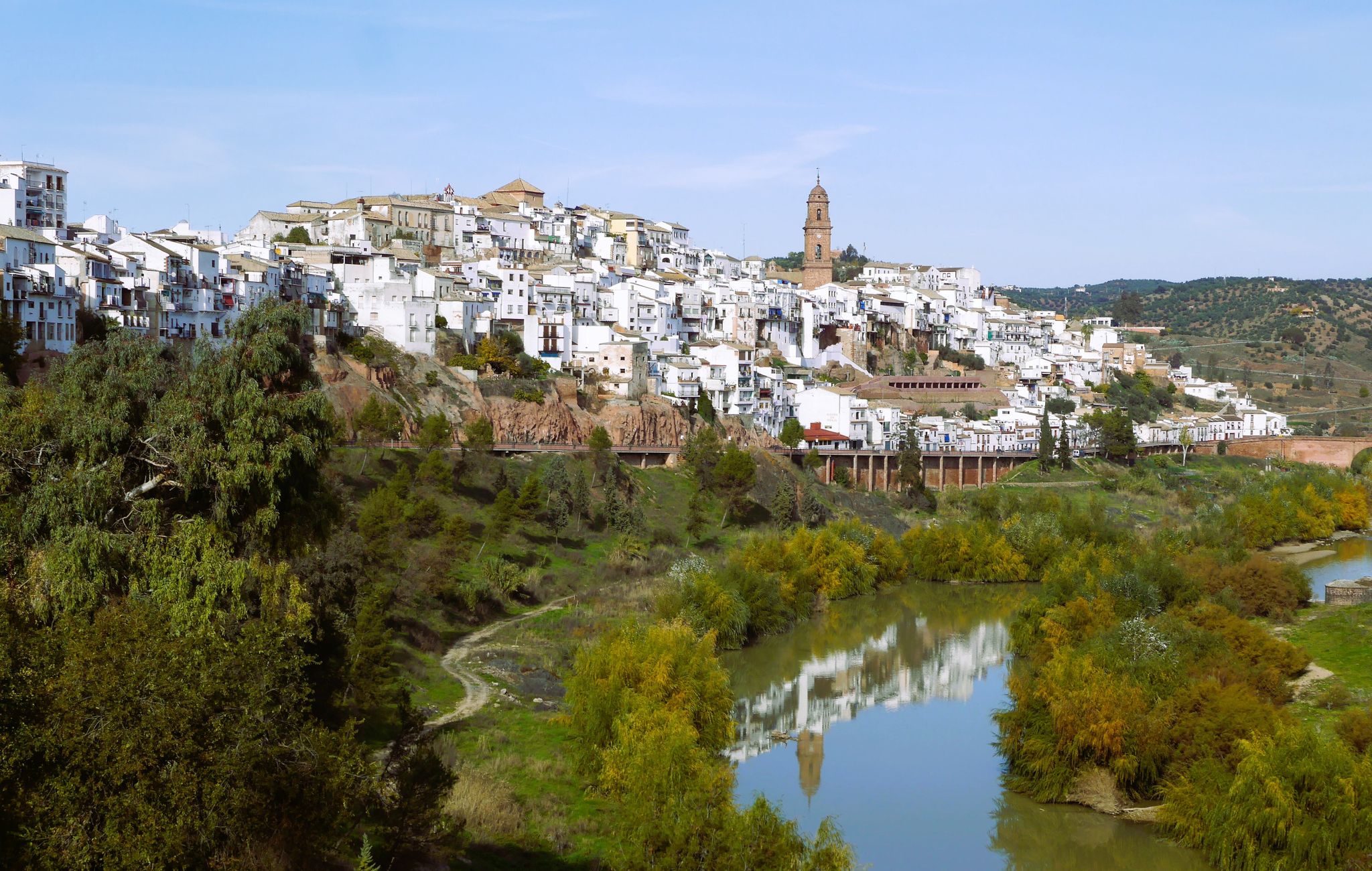


Other adventures in Sierra De Hornachuelos

Tips from the Community

On the San Calixto C-141 highway and before reaching the PK. 2, take the path to the left that crosses the “Golden Bridge” in the direction of the San Bernardo Mill; After two kilometers you reach a crossroads where you take the path towards the “Sendero del Guadalora” ju
1
0
The town retains its Arab structure with steep and narrow streets as well as buildings from that era, among which the Arab fortress stands out. In its old town, you can also see the Town Hall building, its Gothic church, and the homage tower of its castle in the Plaza de Armas.
0
0
The town of San Calixto, about 17 km from Hornachuelos, is located in the heart of the Natural Park. Its origin is found in the ancient and legendary Monastery of Tardón, founded in the 16th century. XVI by Brother Mateo de la Fuente, disciple of Saint John of Ávila and hermit from the wilderness of Córdoba, in the company of Brother Diego Vidal. Due to their reputation for holiness, many others joined them. Installed in some mountains heavily populated with thistles, which is why they called it Cardón, in a hut that served as their church, they placed an image of Saint Michael. Over time, these anchorites decided to live under one of the rules approved by the church, and chose that of San Basilio, founding in 1543 the Monastery of San Basilio del Tardón, a nickname derived from Cardón, which remained inhabited by monks until the year 1808. Twenty years later, Francisco Sánchez Gadeo founded the last of the New Towns of Sierra Morena, protected by the repopulating spirit of Carlos III and following his colonizing precepts. In memory of the day of the birth of King Ferdinand VII, October 14, the name of San Calixto was given to the new town.
0
0
On the San Calixto C-141 highway and before reaching the PK. 2, take the path to the left that crosses the “Golden Bridge” in the direction of the San Bernardo Mill; After two kilometers you reach a crossroads where you take the path straight ahead to the “Sendero del Guadalora” next to which you will find the perfectly signposted Fuente del Conejo.
1
0
In the North of the Province of Córdoba, and following the local road CO-5314 that enters the Sierra de Hornachuelos, in the municipality of Posadas we find an old mining exploitation "Las Minas de la Plata", which despite its Abandoned state, it has become an obligatory route for hikers and hikers thanks to its great scenic beauty. At the foot of the road we find a series of abandoned buildings belonging to the Spanish-German company Sociedad Especial Minera Santa Bárbara, which was responsible for the exploitation of the mine at the end of the 19th century. These mines, which were already exploited by the Romans, were closed in 1914 due to World War I, since the material obtained was melted down in Belgium and with the war they could no longer be transported to the foundries.
0
0

This small rock-cut sanctuary is located on the outskirts of the town of Hornachuelos. It is a good place to refill your water bottle and admire the care with which the altar is decorated.
3
0
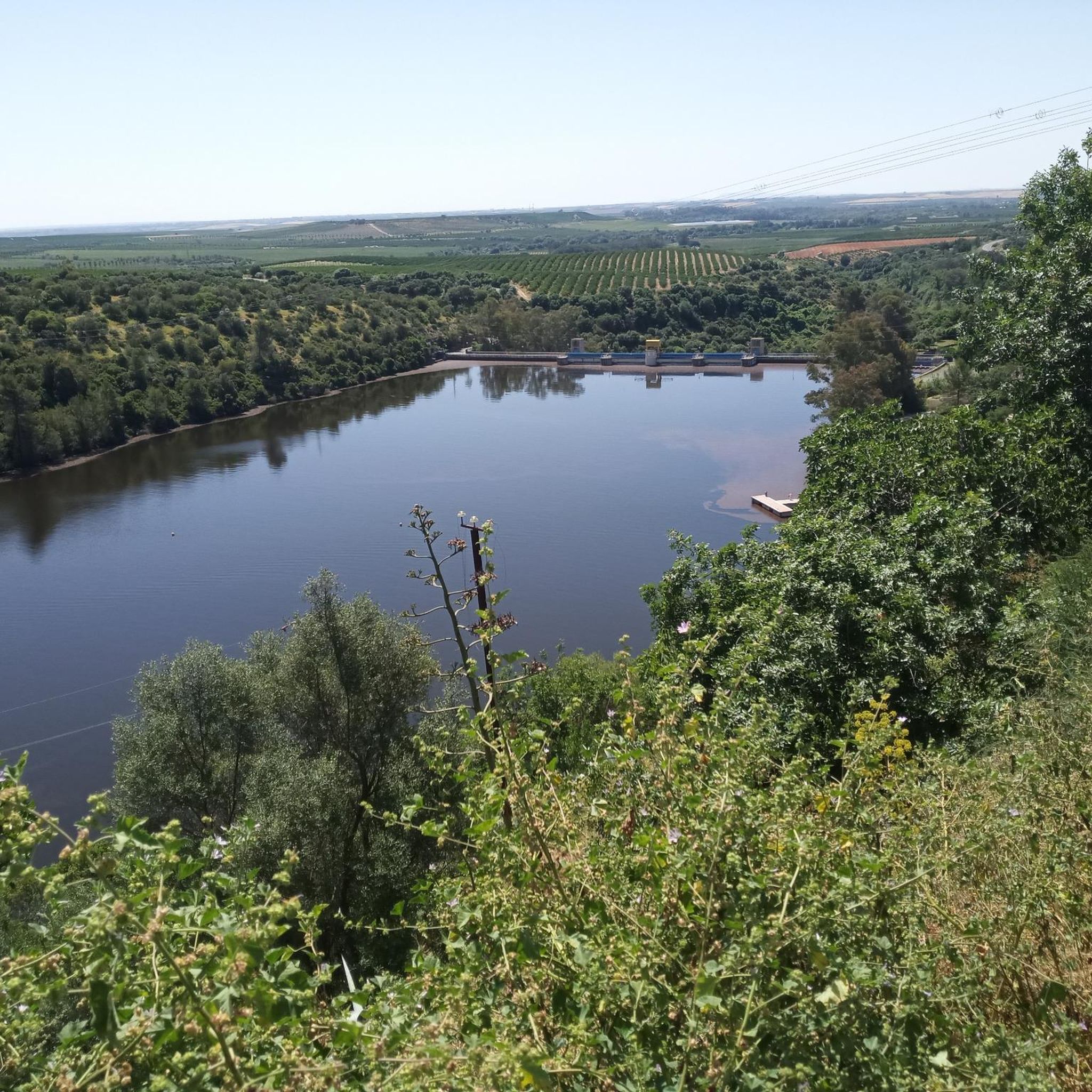
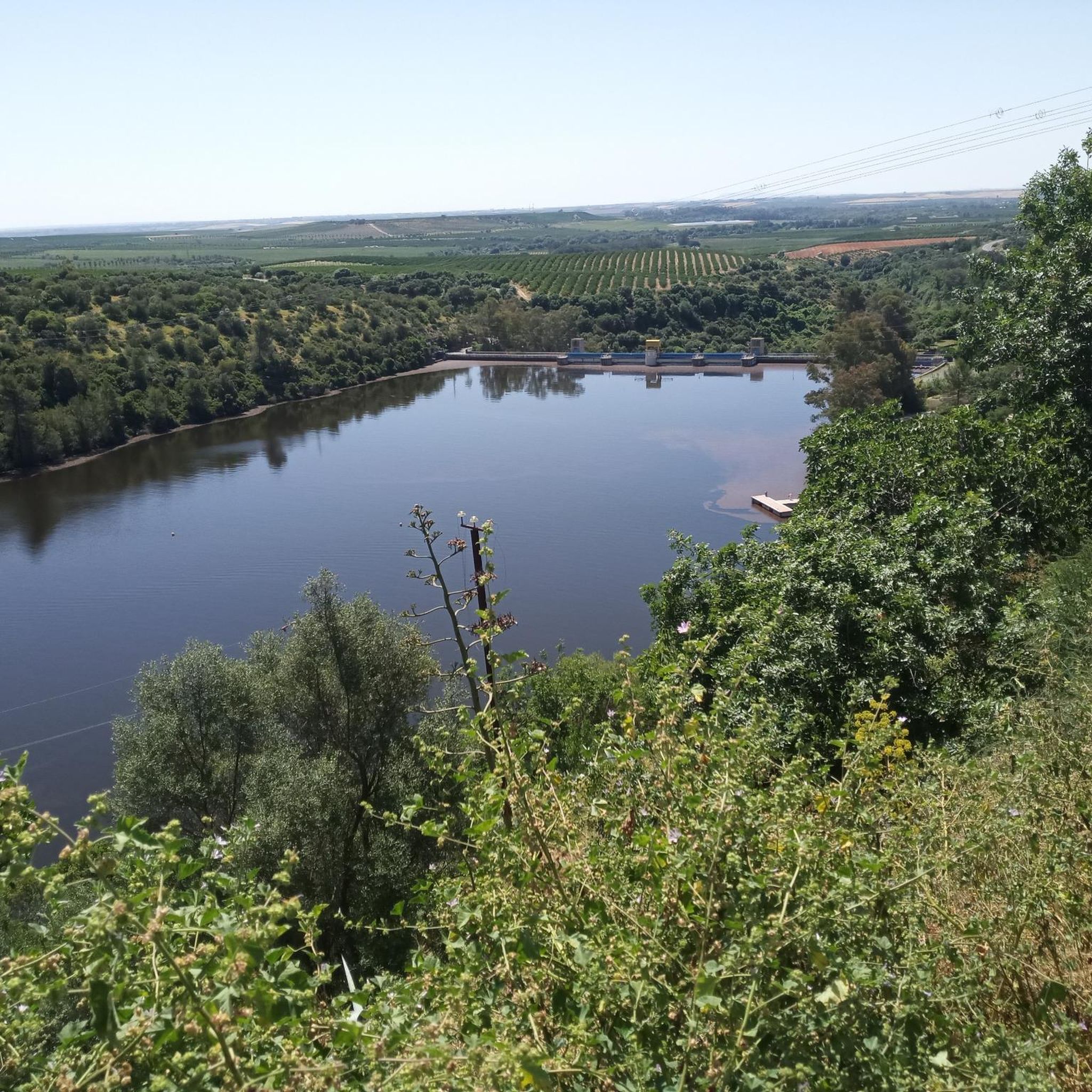
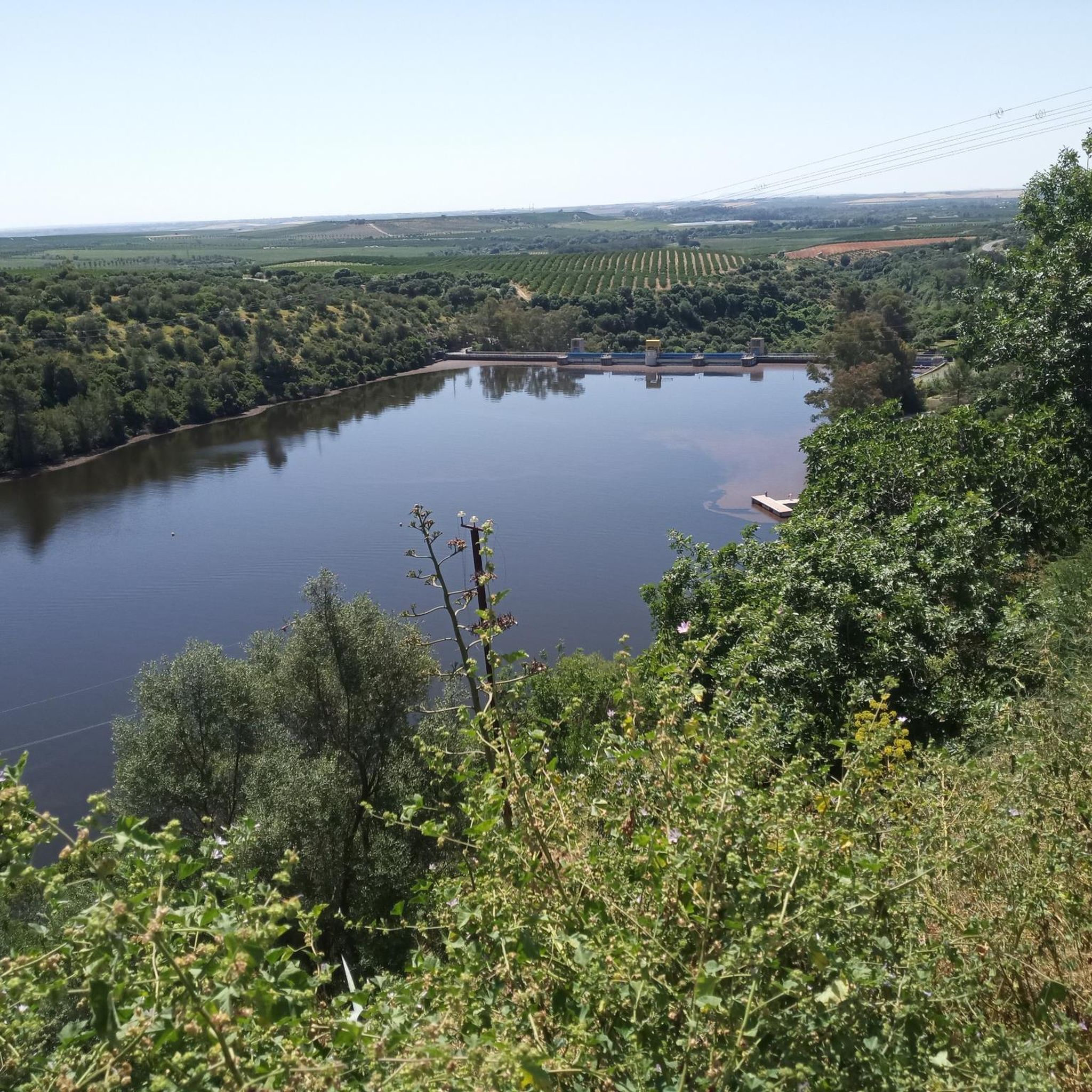
Built on the bed of the Retortillo river, this reservoir is located between the Sierra Norte de Sevilla natural park and the Sierra de Hornachuelos natural park, which in turn form part of the Sierra Morena massif.
1
0
Frequently Asked Questions
How many road cycling routes are available in Sierra de Hornachuelos?
There are over 30 road cycling routes available in Sierra de Hornachuelos, catering to various skill levels. You'll find options ranging from moderate to difficult, with a few easier routes as well.
What are the typical terrain features for road cycling in Sierra de Hornachuelos?
The region offers a varied terrain characterized by gentle hills, ravines, and elevated plains, often carved by rivers like the Bembézar and Guadalora. You'll cycle through expansive Mediterranean forests of holm oaks and cork oaks, alongside lush riverine ecosystems, with many routes featuring well-maintained paved surfaces.
What are the difficulty levels of road cycling routes in Sierra de Hornachuelos?
Sierra de Hornachuelos offers a range of difficulty levels. Out of 32 routes, 3 are considered easy, 17 are moderate, and 12 are difficult. This ensures options for different fitness levels, from those seeking a leisurely ride to experienced cyclists looking for a challenge.
When is the best time of year for road cycling in Sierra de Hornachuelos?
The Sierra de Hornachuelos is generally pleasant for cycling during spring and autumn when temperatures are milder. Summers can be quite hot, while winters are cooler but often still suitable for riding, especially on sunny days.
Are there any notable landmarks or viewpoints along the road cycling routes?
Yes, many routes offer scenic views and pass by significant landmarks. You can enjoy panoramic views of the Seminario de los Ángeles and the Bembézar Dam. The region is also home to the Hornachuelos Dam and the Retortillo Reservoir, offering picturesque stops.
Is parking available for cyclists in Sierra de Hornachuelos?
While specific parking areas for cyclists are not explicitly detailed, towns within and around the Natural Park, such as Hornachuelos, typically offer public parking facilities where you can leave your vehicle before starting your ride. It's advisable to check local parking regulations upon arrival.
Are there family-friendly road cycling options in Sierra de Hornachuelos?
While many routes in Sierra de Hornachuelos are moderate to difficult due to elevation changes, there are a few easier options available. For families, it's recommended to look for routes with less elevation gain and shorter distances, or consider the flatter sections of some of the longer routes.
Are there circular road cycling routes in Sierra de Hornachuelos?
Yes, the region features several excellent circular road cycling routes. A notable example is the challenging Parque Natural Sierra de Hornachuelos — circular from Hornachuelos, which explores the core of the Natural Park. Another popular option is the Sierra de Hornachuelos - Las Navas de la Concepción Loop.
What are some of the longer road cycling routes in the area?
For those seeking longer rides, the Parque Natural Sierra de Hornachuelos — circular from Hornachuelos is an extensive route covering over 160 km. Another challenging option is the Cazalla de la Sierra – Las Navas de la Concepción loop from Las Navas de la Concepción, which is nearly 90 km long.
Are there options for advanced road cyclists seeking a challenge?
Absolutely. Sierra de Hornachuelos is well-suited for advanced road cyclists, with 12 routes classified as difficult. These routes often feature significant elevation gains and longer distances, such as the Sierra de Hornachuelos - Las Navas de la Concepción Loop, which includes over 1,000 meters of climbing.
Where can I find places to eat or drink after a ride in Sierra de Hornachuelos?
The town of Hornachuelos, located within the Natural Park, offers various establishments where cyclists can refuel and relax. You'll find local cafes and restaurants serving traditional Andalusian cuisine, perfect for a post-ride meal or a refreshing drink.
What do other road cyclists enjoy about the routes in Sierra de Hornachuelos?
Road cyclists frequently praise the quiet stretches through woodlands, the well-maintained paved surfaces, and the scenic views of the mountains and reservoirs. The diverse terrain, from gentle hills to challenging climbs, also makes it a favorite for those seeking varied experiences.
Most popular routes in Sierra De Hornachuelos
Most popular attractions in Sierra De Hornachuelos

Get inspired with the komoot mobile app


Explore more
Browse the best Road cycling routes in other regions.
