The best cycling routes in Sources Natural Park
4.4
(238)
5,091
riders
166
rides
Touring cycling in Sources Natural Park features a landscape characterized by significant elevation changes, dense forests, and a network of converted railway lines (RAVeL) that offer varied terrain. The region includes notable natural features such as waterfalls and man-made structures like dams and lakes. This environment provides a range of routes suitable for experienced touring cyclists seeking challenging ascents and descents.
Best touring cycling routes in Sources Natural Park
- The most popular touring cycling route is Coo Waterfall – RAVeL…
Last updated: October 17, 2026
4.7
(46)
263
riders
Hard bike ride. Very good fitness required. Mostly paved surfaces. Suitable for all skill levels.
4.5
(24)
203
riders
Moderate bike ride. Good fitness required. Mostly paved surfaces. Suitable for all skill levels.

4.1
(10)
207
riders
38.0km
03:35
730m
730m
Hard bike ride. Very good fitness required. You may need to push your bike for some segments of this route.
4.8
(4)
279
riders
62.4km
04:05
890m
890m
Hard bike ride. Very good fitness required. Mostly paved surfaces. Suitable for all skill levels.
4.6
(7)
153
riders
38.2km
03:21
680m
680m
Hard bike ride. Very good fitness required. Mostly paved surfaces. Suitable for all skill levels.
Get access to more routes and recommendations from other explorers.
Already have an account?
Our route recommendations are based on thousands of hikes, rides, and runs completed by other people on komoot.
Start today with a free account
Your next adventure awaits.
Popular around Sources Natural Park
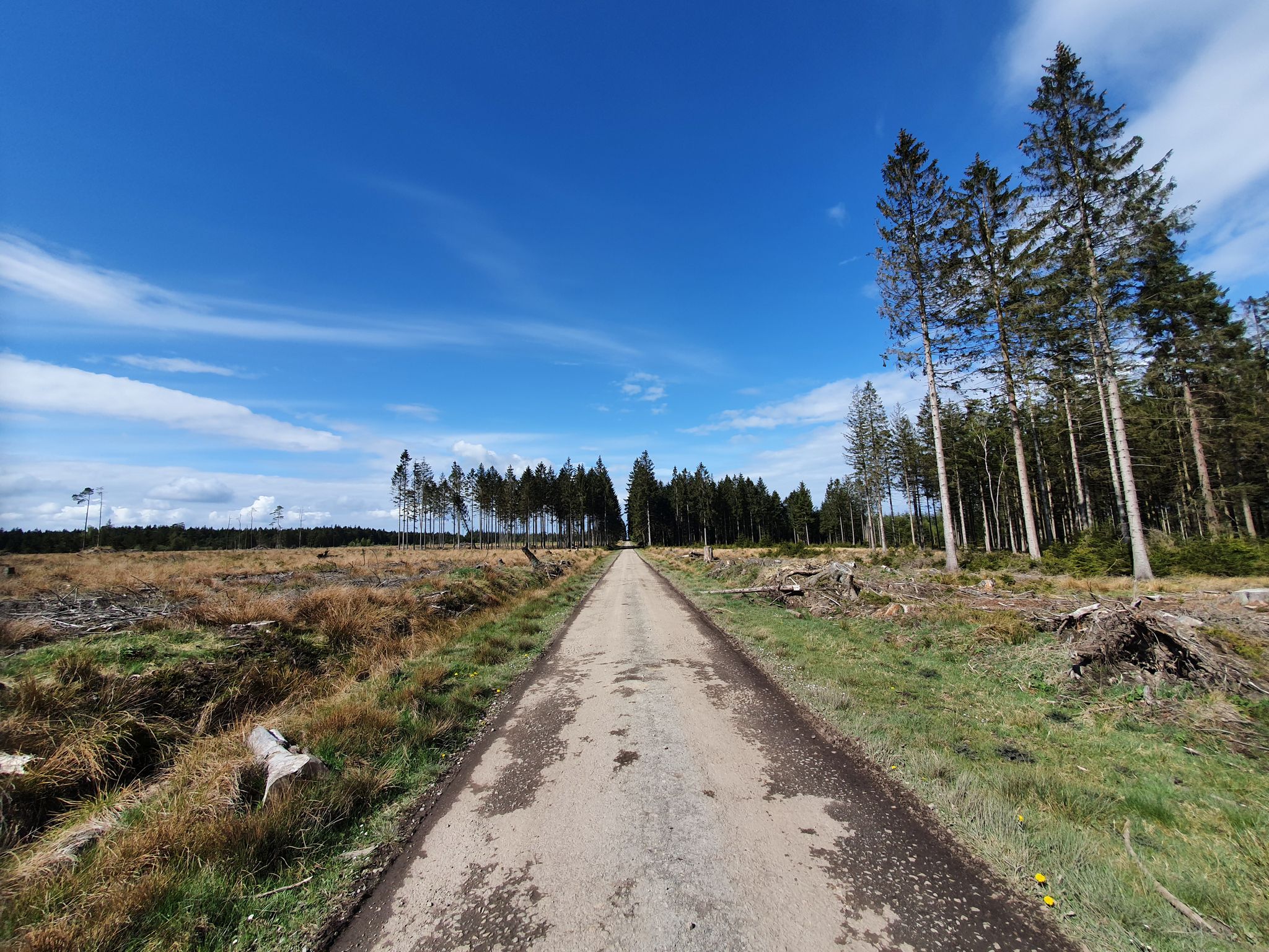
GR 2 from Verviers to Orval — The beautiful Ardennes in gravel
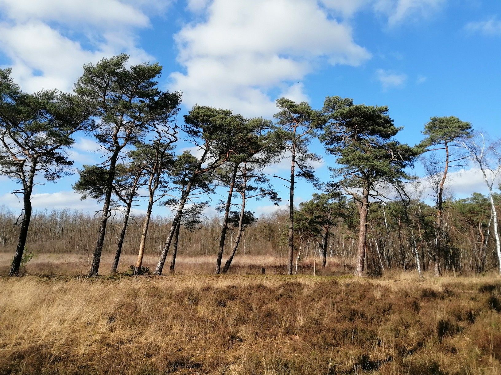
From Flanders to the Ardennes — GR 5 in Belgium
Running an ultra in Belgium – long trails in a small country
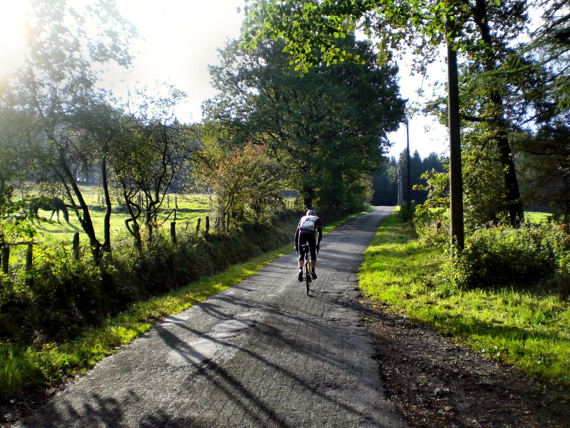
Belgium’s hardest ultra cycling race – the Ardennes Monster
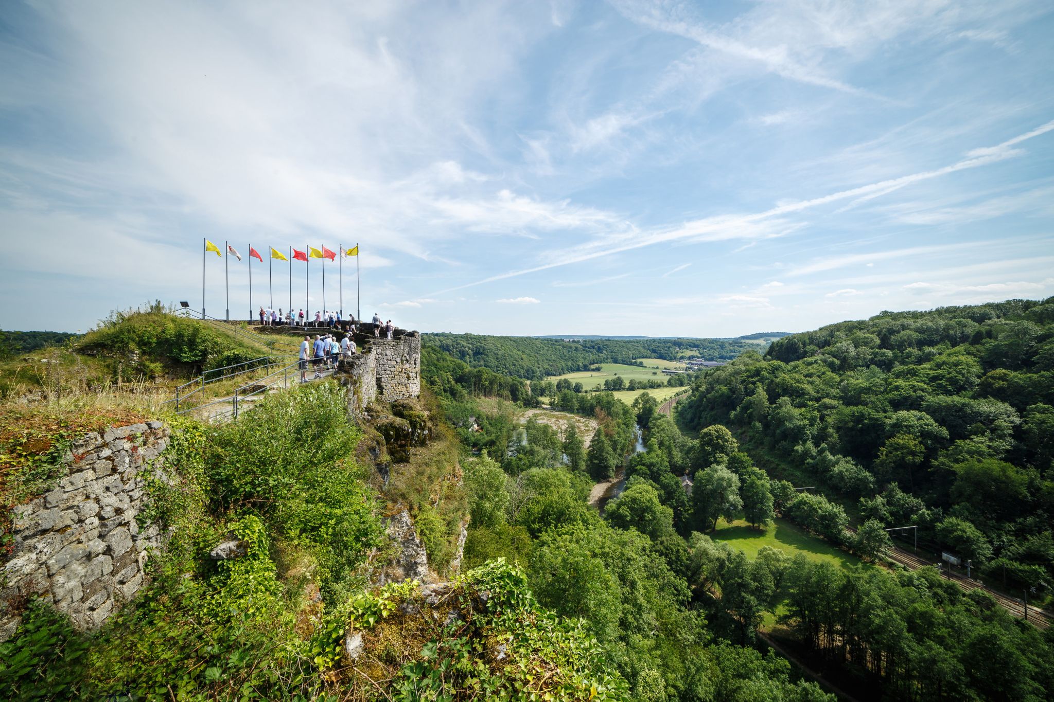
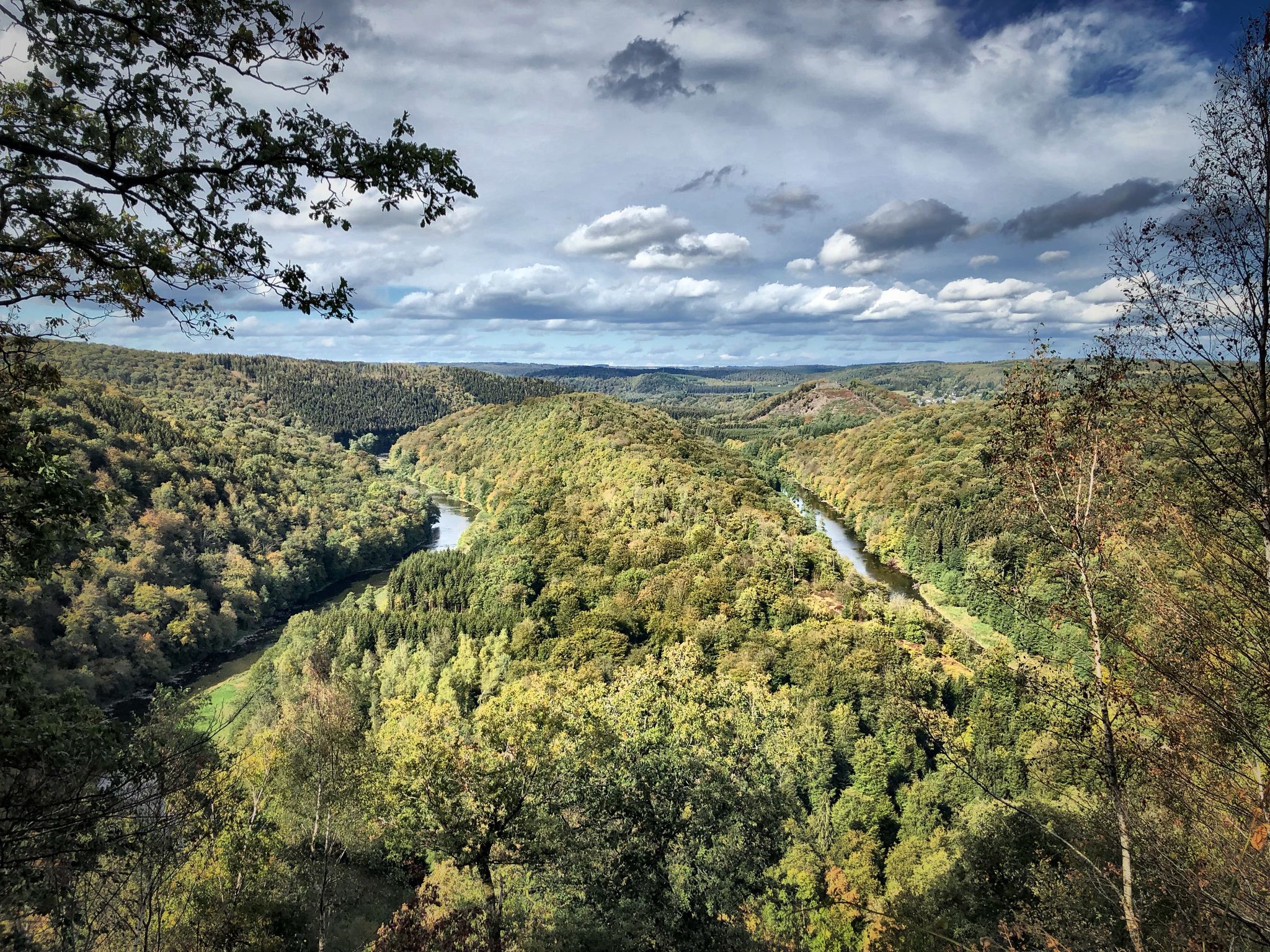
The wild rivers Ourthe, Vesdre and Amblève in the Belgian Ardennes
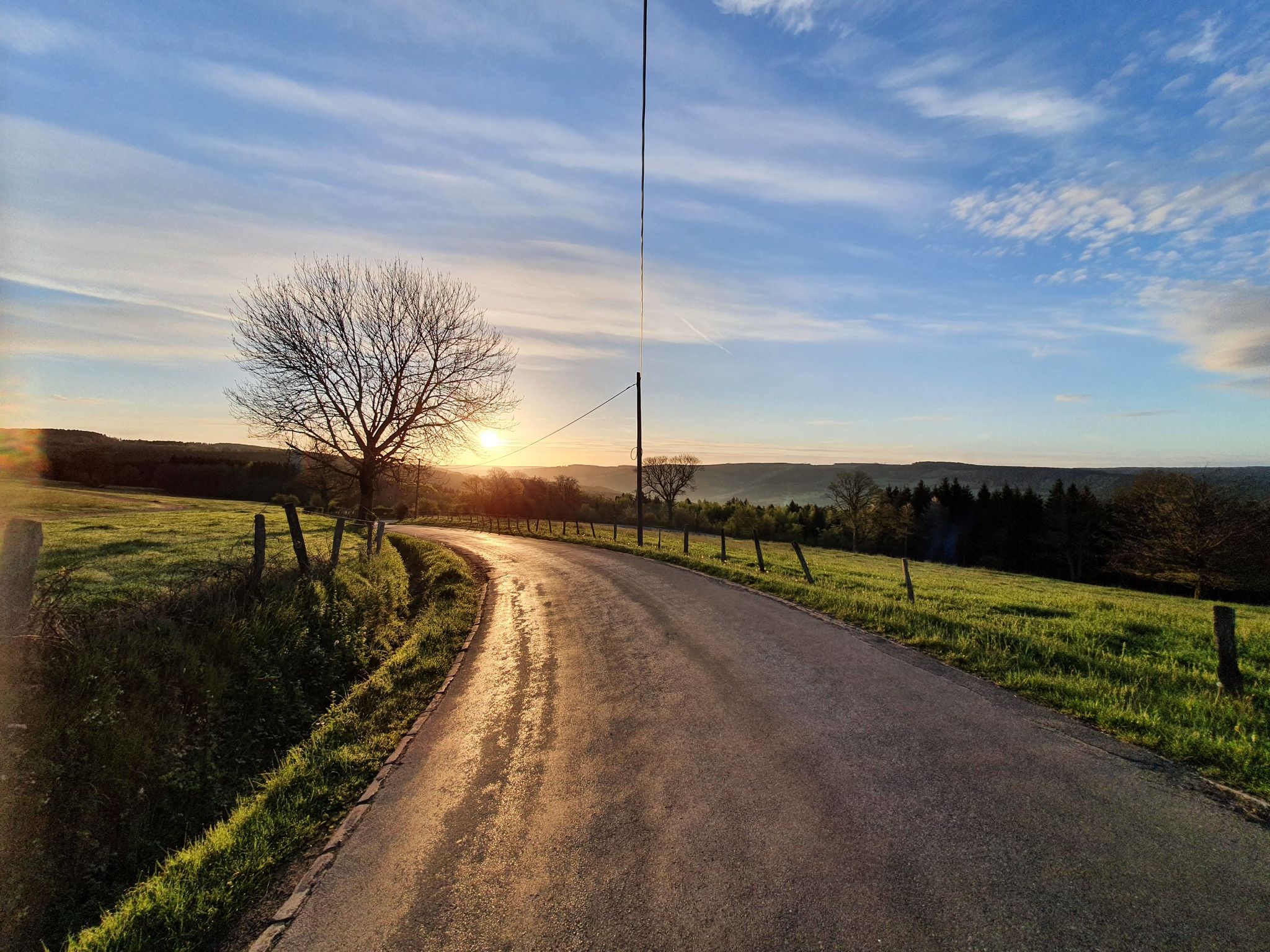
The Conquest of the Ardennes — a bike adventure to remember
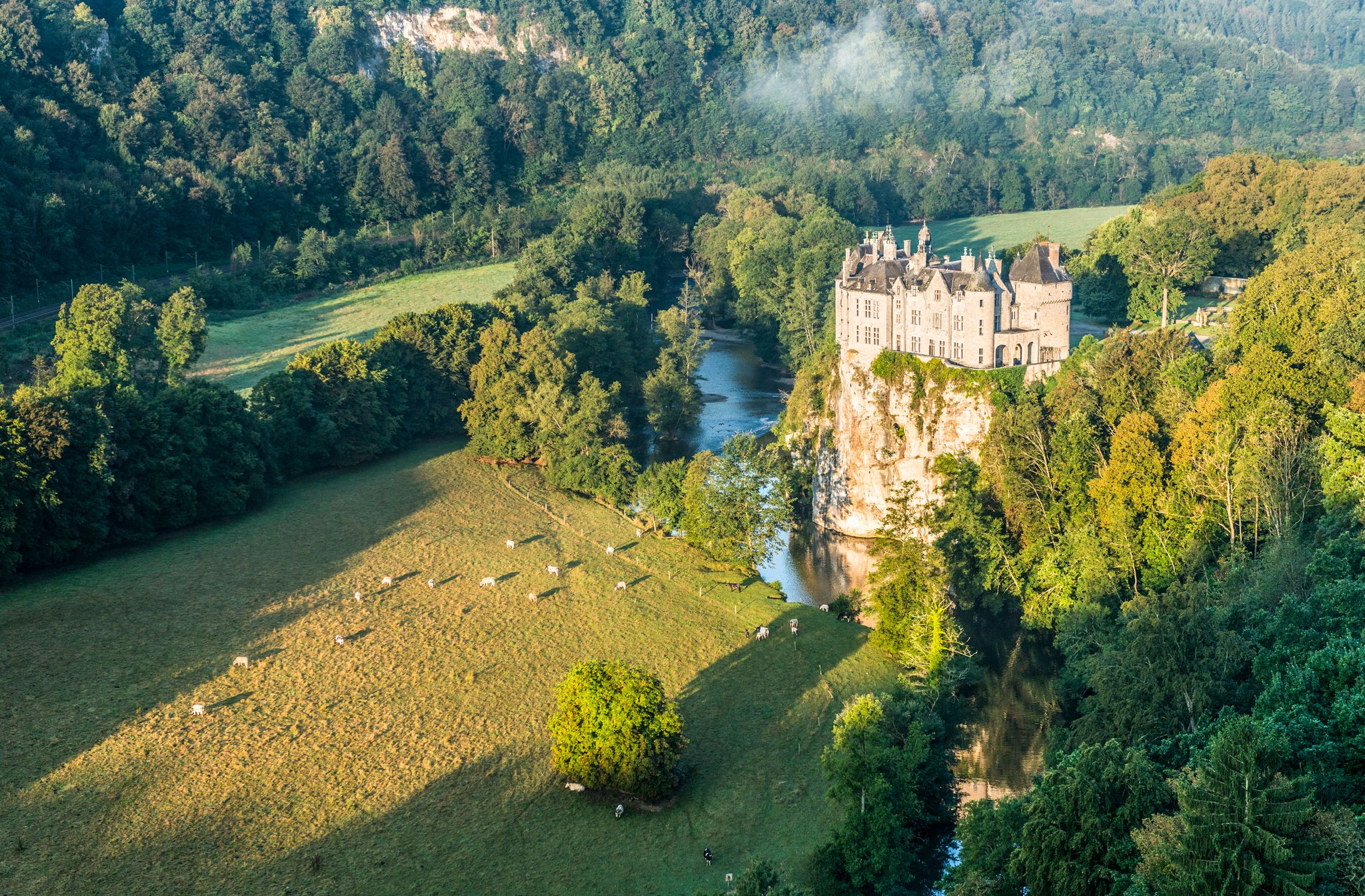
Pure nature on the hiking trails in the Belgian Ardennes
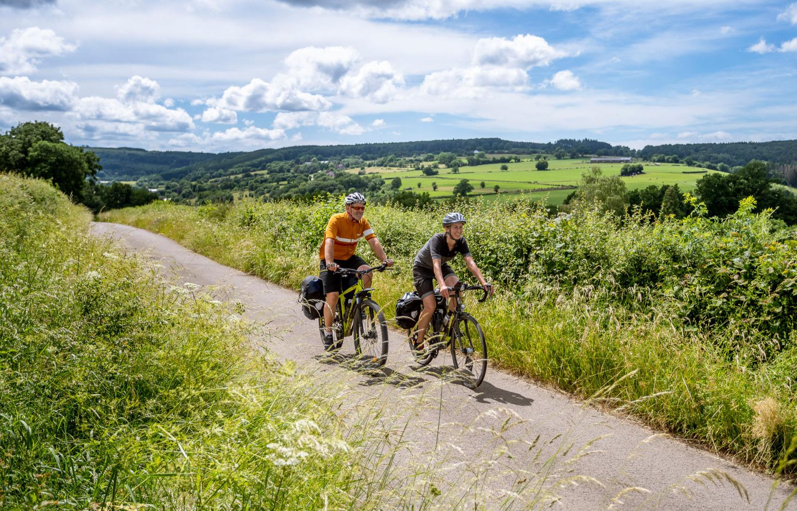
Op twee wielen door Wallonië en de Ardennen – Geschiedenis en natuur

Hiking in Sources Natural Park

Running Trails in Sources Natural Park
Other adventures in Sources Natural Park


Tips from the Community


The Aérodrome de Spa – La Sauvenière is located on the heights between Spa and Francorchamps, on the edge of the Fagne de Malchamps. The airfield is situated at an altitude of about 470 meters and covers an area of around 75 hectares. Its history dates back to the first air shows in Spa in 1909; the current site has been used for flight operations since 1932. Today, the airfield is mainly used for sport and recreational flying, as well as for parachuting. The Skydive Center Spa is also located on the premises. The airfield is therefore not only a starting point for air sports, but is also situated in an attractive landscape at the foot of the High Fens plateau.
37
0


Not bad for a little break....
0
0

Beautiful RaVel between Stavelot and Francorchamps. Very good asphalt, impressive when you ride along the circuit and hear the engines roar.
0
0


The High Fens are a very rewarding hiking area at any time of the year.
1
0

This magnificent house was extended in 1880 with an annex and a tower at the rear. The main facade, built of brick and limestone and reinforced at the corners, is in the Louis XIV style. The windows are framed with simple, carved stone surrounds with arched lintels. The central entrance is located between two pilasters, crowned by two arch fields and a profiled keystone supporting a substantial cornice. This castle formerly belonged to Raes Blanche, lord of the fortified castle of Petit Sart. This is why the Detroz farm is still known as "Cinse Blanche". The tower was rebuilt with stones from the old tower. It is listed as a monument in Wallonia. (Jalhay-Sart Tourist Office)
14
0
Frequently Asked Questions
What is the typical difficulty level of touring cycling routes in Sources Natural Park?
Sources Natural Park is known for its challenging terrain. The majority of touring cycling routes, specifically 104 out of 158, are rated as difficult. There are also 46 moderate routes and 8 easier options, but overall, the park caters more to experienced cyclists due to significant elevation changes.
Are there long-distance touring cycling routes available in Sources Natural Park?
Yes, the park offers several longer routes. For instance, the RAVeL Between the Rocks – Stavelot Railway Tunnel loop from Spa-Géronstère is a challenging 51.5 miles (82.8 km) path, utilizing converted railway lines. Another substantial option is the Gileppe Dam and the Lion Statue – Lake Gileppe loop from Spa-Géronstère, which covers 38.4 miles (61.8 km).
What options are there for beginner touring cyclists in Sources Natural Park?
While many routes are challenging, there are 8 routes specifically rated as easy within Sources Natural Park. These routes typically feature less elevation gain and shorter distances, providing a good starting point for those new to touring cycling in the region. Look for routes that explicitly mention flatter sections or dedicated cycle paths.
When is the best time of year to go touring cycling in Sources Natural Park?
The best time for touring cycling in Sources Natural Park is generally from spring through autumn (April to October). During these months, the weather is more favorable, with milder temperatures and less precipitation, making the significant elevation changes and varied terrain more enjoyable. Winter cycling can be challenging due to cold, ice, and snow.
Are there many circular touring cycling routes in Sources Natural Park?
Yes, many of the popular touring cycling routes in Sources Natural Park are designed as loops, allowing you to start and end at the same point. Examples include the Coo Waterfall – RAVeL Between the Rocks loop from La Gleize and the View of Spa – Chawion Pond loop from Spa.
What scenic viewpoints or natural attractions can I expect to see?
Sources Natural Park offers a variety of natural and man-made attractions. You can find stunning views from the Berinzenne Observation Tower, explore the unique Chefna Valley, or visit the famous Coo Waterfall. The region also features several springs like the Pia Spring and the Barisart Spring, and impressive structures like the Gileppe Dam.
What do other touring cyclists enjoy the most about touring cycling in Sources Natural Park?
The area is highly rated by the komoot community, with an average score of 4.5 stars from over 200 reviews. Cyclists often praise the diverse terrain, which includes challenging ascents and descents, the scenic beauty of dense forests and lakes, and the unique experience of cycling on converted railway lines (RAVeL) and through railway tunnels.
Are there family-friendly touring cycling routes in Sources Natural Park?
While many routes are challenging, the park does offer some easier options that could be suitable for families, particularly those with older children or more experienced young riders. These routes often utilize the flatter sections of the RAVeL network. It's advisable to check the difficulty rating and elevation profile of specific routes before heading out with family.
Which routes are recommended for advanced touring cyclists seeking a challenge?
Advanced cyclists will find plenty of challenging routes. The Coo Waterfall – RAVeL Between the Rocks loop from La Gleize is a difficult 30.7-mile (49.3 km) trail with significant elevation gain. Another demanding option is the Épine Chapel – Berinzenne Observation Tower loop from Spa-Géronstère, which also features considerable climbing.
Is Sources Natural Park accessible by public transport for cyclists?
Access to Sources Natural Park by public transport is possible, though it may require some planning. Major towns like Spa, which serve as starting points for several routes, often have train or bus connections. However, direct access to all trailheads might be limited, so checking local transport schedules and bike carriage policies in advance is recommended.
Where can I find parking for touring cycling routes in Sources Natural Park?
Parking is generally available at or near the starting points of many popular routes, especially in towns like Spa or La Gleize. Look for designated parking areas near trailheads or in village centers. Some routes that utilize the RAVeL network may also have parking facilities at access points along the converted railway lines.
Are there places to stop for refreshments along the touring cycling routes?
Yes, many routes pass through or near small towns and villages where you can find cafes, restaurants, and shops to refuel. Larger starting points like Spa offer a good selection of amenities. It's always a good idea to carry sufficient water and snacks, especially on longer or more remote sections, as services might be sparse between villages.
Most popular routes in Sources Natural Park
Most popular attractions in Sources Natural Park

Get inspired with the komoot mobile app


Explore more
Browse the best Cycling routes in other regions.
