The best walks and hikes in Livradois-Forez
4.5
(3361)
19,881
hikers
762
hikes
Hiking in Livradois-Forez offers diverse natural landscapes within the Auvergne-Rhône-Alpes region of France. The area is characterized by vast conifer forests, green meadows, and high-altitude moors, alongside the exposed terrain of the Monts du Forez and the expansive vistas of the Hautes-Chaumes du Forez. Valleys like the Dore River and Vallée des Rouets, along with volcanic traces such as the Montpeloux volcano, contribute to its varied topography.
Best hiking trails in Livradois-Forez
- The most popular hiking route is The chaos of the three stones - loop starting from Fayet le Château - Livradois-Forez regional natural park, a 2.9 miles (4.6 km) trail that takes 1 hour 24 minutes to complete. This easy loop explores unique rock formations.
- Another top favourite among local hikers is Creux de l'Oulette Trail, a moderate 8.0 miles (12.8 km) path. This route leads to the Cascade du Creux de l'Oulette, showcasing the region's dynamic water features.
- Local hikers also love the Papermakers' Trail, a 4.5 miles (7.2 km) trail leading through historical industrial landscapes, often completed in about 2 hours 6 minutes.
- Hiking in Livradois-Forez is defined by conifer forests, high-altitude moors, and river valleys, offering a blend of natural beauty and cultural heritage. The extensive network of trails provides options for various ability levels, from easy strolls to more challenging treks.
- The routes in Livradois-Forez are highly rated by the komoot community with an average score of 4.6 stars from over 1300 reviews. More than 7600 hikers have used komoot to explore Livradois-Forez's varied terrain.
Last updated: July 7, 2026
4.4
(59)
160
hikers
Easy hike. Great for any fitness level. Easily-accessible paths. Suitable for all skill levels.
5.0
(22)
128
hikers
12.8km
03:43
340m
340m
Moderate hike. Good fitness required. Mostly accessible paths. Sure-footedness required.

Sign up for free
4.8
(44)
175
hikers
7.18km
02:06
190m
190m
Moderate hike. Good fitness required. Mostly accessible paths. Sure-footedness required.
4.5
(33)
116
hikers
11.9km
03:45
460m
460m
Moderate hike. Good fitness required. Mostly accessible paths. Sure-footedness required.
4.8
(28)
92
hikers
8.13km
02:26
260m
250m
Moderate hike. Good fitness required. Mostly accessible paths. Sure-footedness required.
Get access to more routes and recommendations from other explorers.
Sign up for free
Already have an account?
Our route recommendations are based on thousands of hikes, rides, and runs completed by other people on komoot.
Start today with a free account
Your next adventure awaits.
Login or Signup
Popular around Livradois-Forez
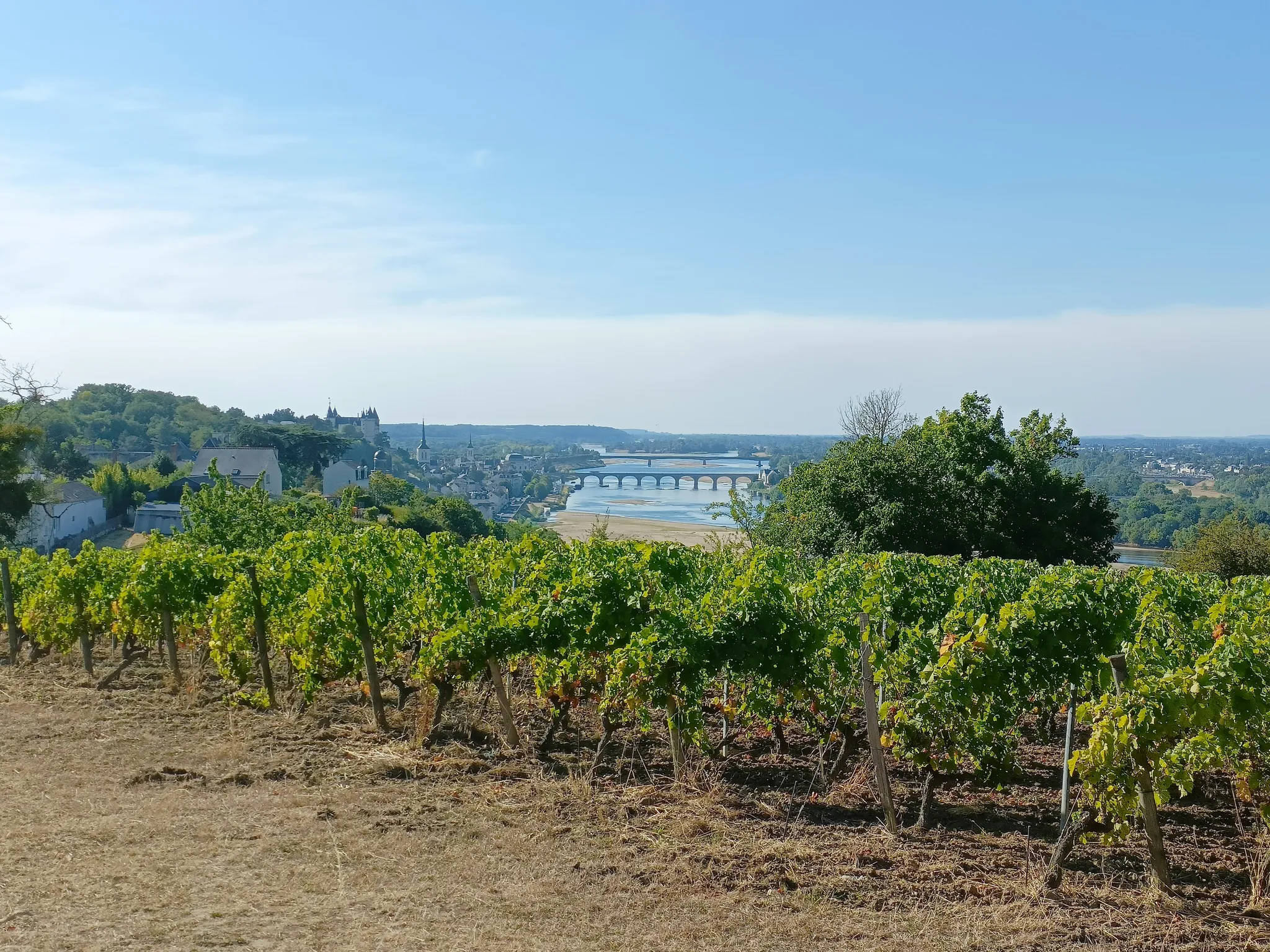
GR3 from the ocean to its source – The Loire, a wild European river
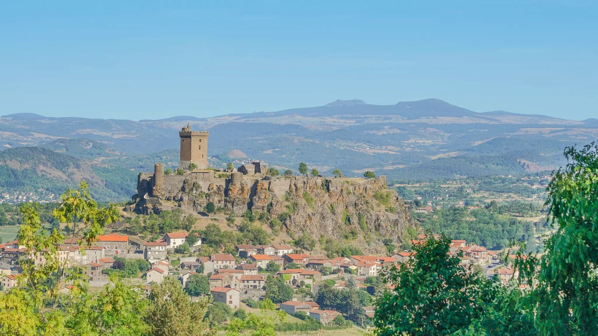
The Loire from ocean to source – GR 3 between Chabreloche and Puy-en-Velay
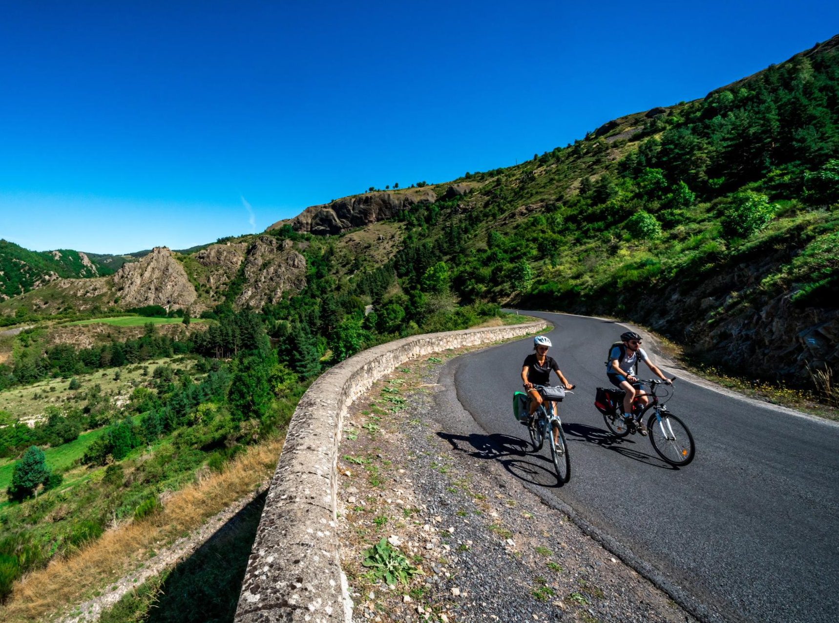
Via Allier – The Auvergne cycle route
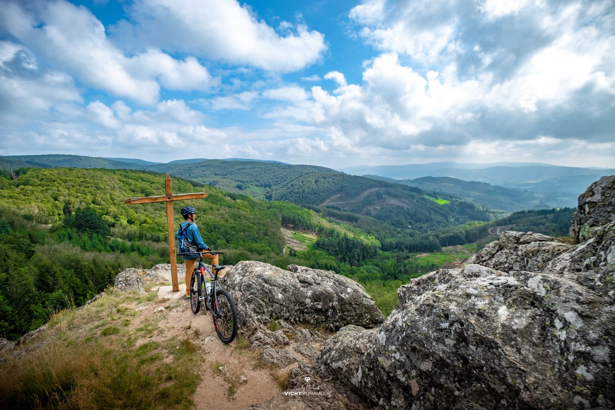
Destination Grand'R — the largest FFC-MTB area in France

Puy-de-Dôme – the Volcanoes of Auvergne by MTB

Hills, gorges, and forests – Grande Traversée de la Haute-Loire by MTB

Conquering the trails – Auvergne by MTB
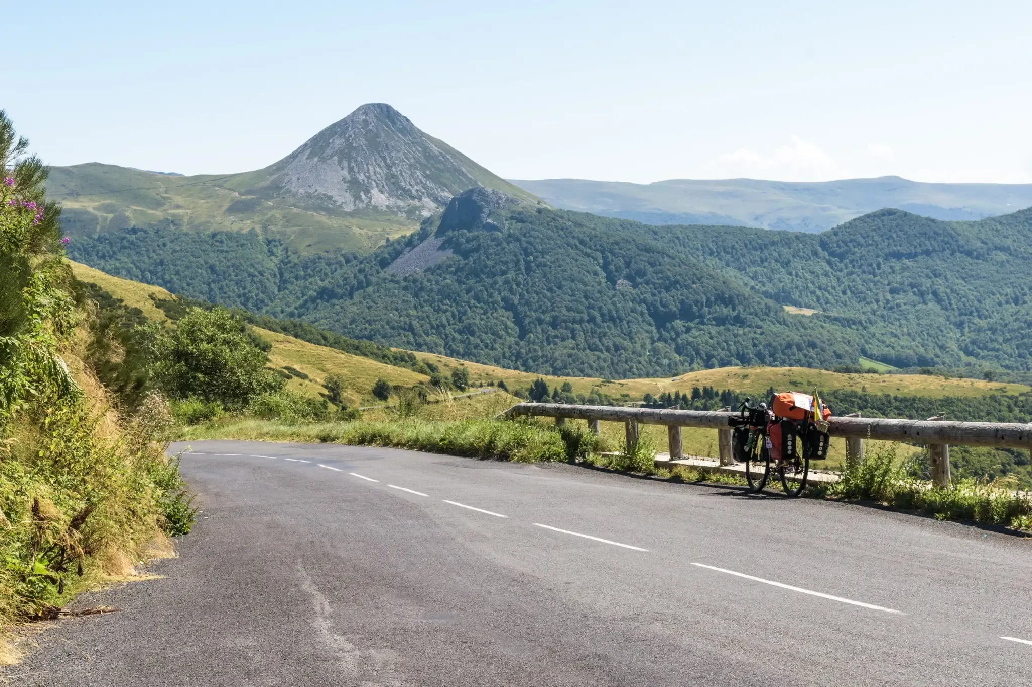
The Via Allier and the GT2V — road cycling in Auvergne
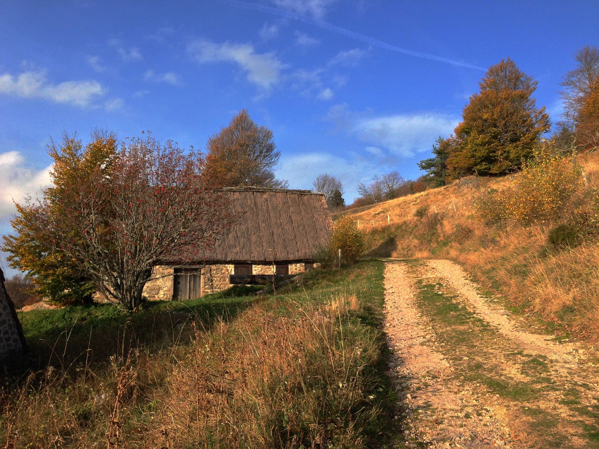
Local produce and traditions – Tour of the Livradois-Forez by MTB
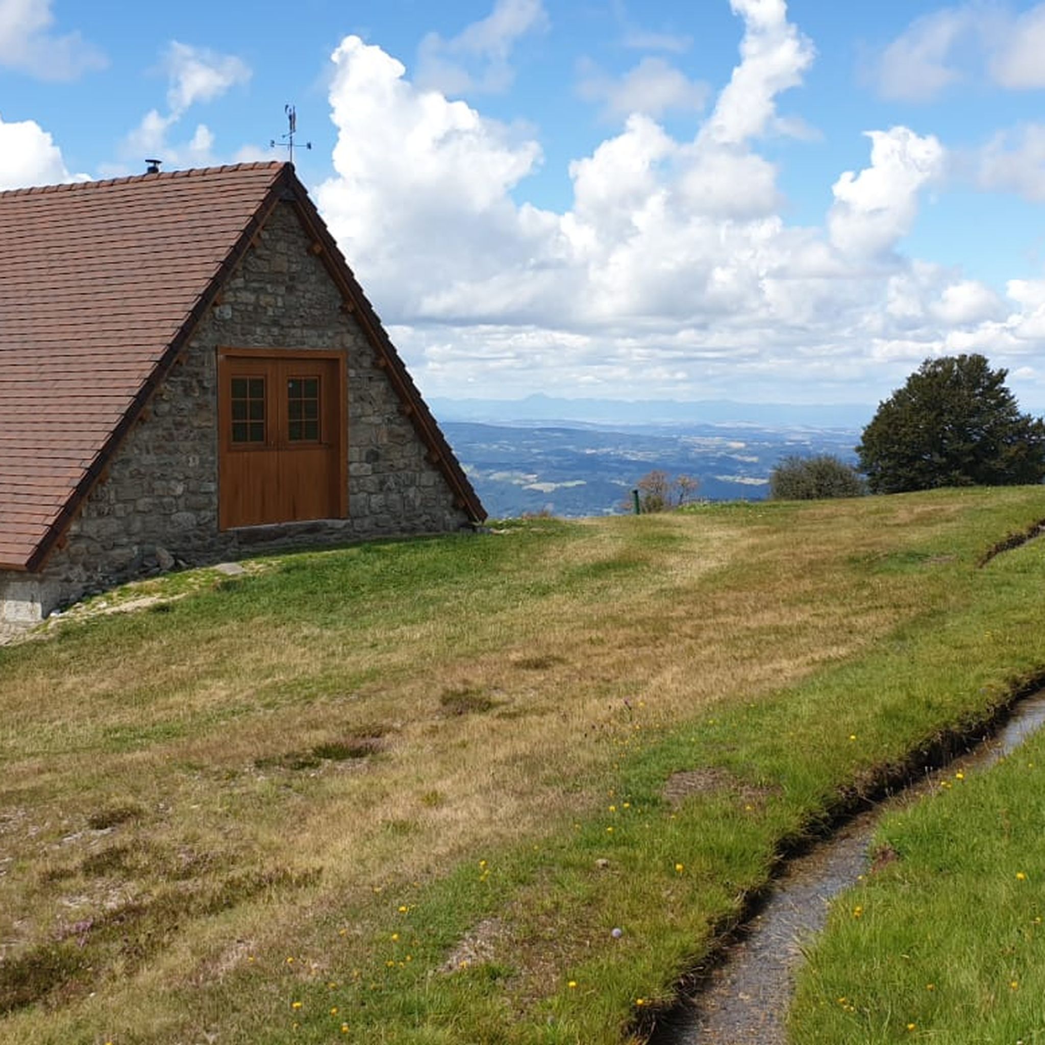
MTB Trails in Livradois-Forez
Other adventures in Livradois-Forez


Tips from the Community

Given the long tradition of craftsmanship in Thiers (Wikipedia reports: "The town's heyday began with the arrival of cutlery. Legend says that Auvergnatian crusaders brought this art from the Orient to Thiers. The first cutlers are documented to have settled in Thiers in the 14th century; they used the steep gradient of the Durolle River to power their blacksmith's hammers. This trade quickly brought prestige and wealth to the town."), a town twinning with Solingen (North Rhine-Westphalia, Germany) would be a good fit from a thematic perspective. This town in the Bergisches Land also has a long tradition of craftsmanship in this field. This is presented in two museums. If you are interested, see: =>> https://www.komoot.com/de-de/highlight/267474 (Industrial Museum "Gesenkschmiede Hendrichs" of the Rhineland Regional Association) =>> https://www.komoot.com/de-de/highlight/366316 (German Blade Museum)
0
0

Well, it wasn't a deluge, but enough to guess what a feast for the eyes we'll have in the spring after the thaw. In any case, it's refreshing and the perfect time and place to put your feet in the water and enjoy a picnic.
0
0

Wonderful valley, very idyllic and pleasant for hiking - just let your soul unwind
1
0
Down here in the valley are the "ruins" of the old cutlery factories; over the years they had to make way for more modern production facilities...
2
0

A wonderful, extremely varied hike starting from the volcanic crater is highly recommended.
0
0

The Vallée des Rouets is quite a magical place!
1
0

With its orientation table, the Butte de Méraille offers a 360° view of the surrounding castles and the Sancy and Forez mountains.
0
0
The Madet is a stream where many vestiges of human activity remain since the valley had many mills.
0
0
Frequently Asked Questions
How many hiking trails are available in Livradois-Forez?
Livradois-Forez offers a vast network of hiking opportunities, with over 750 trails recorded on komoot. These routes cater to all levels, from easy strolls to more challenging treks, ensuring there's something for every hiker.
What kind of terrain will I encounter while hiking in Livradois-Forez?
The region boasts incredibly diverse landscapes. You can expect to traverse vast conifer forests, serene meadows, and high-altitude moors. The Monts du Forez offer exposed terrain, while the Hautes-Chaumes du Forez provide expansive, open vistas. River valleys like the Dore, volcanic features such as the Montpeloux volcano, and picturesque lakes and peat bogs also contribute to the varied scenery.
Are there any family-friendly hiking options in Livradois-Forez?
Yes, Livradois-Forez has many trails suitable for families. There are over 230 easy routes available. A great option for a family outing is The chaos of the three stones - loop starting from Fayet le Château, an easy 4.6 km loop that explores unique rock formations.
Can I find circular hiking trails in Livradois-Forez?
Absolutely. Many trails in Livradois-Forez are designed as circular routes, allowing you to start and end at the same point. An example is The chaos of the three stones - loop starting from Fayet le Château, which is a popular easy loop.
Are there any waterfalls to discover on hikes in Livradois-Forez?
Yes, the region features dynamic water features, including waterfalls. The Creux de l'Oulette Trail is a moderate 12.8 km path that specifically leads to the beautiful Cascade du Creux de l'Oulette.
What interesting landmarks or attractions can I see along the hiking trails?
Livradois-Forez blends natural beauty with cultural heritage. Beyond the stunning landscapes, you can explore historical sites like the mills along the From Hell to the Rouets Trail or the industrial heritage on the Papermakers' Trail. The region also features notable mountain passes such as Col des Supeyres and various peaks like Puy de Montoncel.
What do other hikers enjoy most about Livradois-Forez?
The area is highly rated by the komoot community, with an average score of 4.6 stars from over 1300 reviews. Hikers often praise the diverse natural landscapes, the extensive network of well-maintained trails, and the blend of natural beauty with cultural and historical points of interest.
Are there any long-distance hiking opportunities in Livradois-Forez?
Yes, Livradois-Forez is part of the famous GR3 long-distance trail, which follows the Loire River. This offers adventurous multi-day exploration through varied terrain for those seeking a more extensive hiking experience.
What is the best time of year to go hiking in Livradois-Forez?
Livradois-Forez offers picturesque scenery that changes with the seasons. Spring and autumn are particularly popular for their mild temperatures and vibrant colors. Summer provides warmer weather for exploring, while winter can offer unique snowshoeing opportunities in higher elevations, though some trails may be less accessible.
Are there any trails that offer panoramic viewpoints?
Yes, the Hautes-Chaumes du Forez, particularly around the Col des Supeyres, are known for their expansive, open vistas and panoramic views of the Ance valley and the Auvergne mountains. Many trails in this area will provide stunning viewpoints.
Can I combine hiking with cultural experiences in Livradois-Forez?
Absolutely. Many routes in Livradois-Forez pass through charming villages and past historical sites. For example, the "Livradois-Forez Route des Métiers" allows you to combine hiking with visits to artisan workshops and cultural sites, offering a rich blend of outdoor activity and local heritage.
Most popular routes in Livradois-Forez
Most popular attractions in Livradois-Forez

Get inspired with the komoot mobile app


