The best running trails around Río Guadalimar
4.0
(9)
846
runners
68
runs
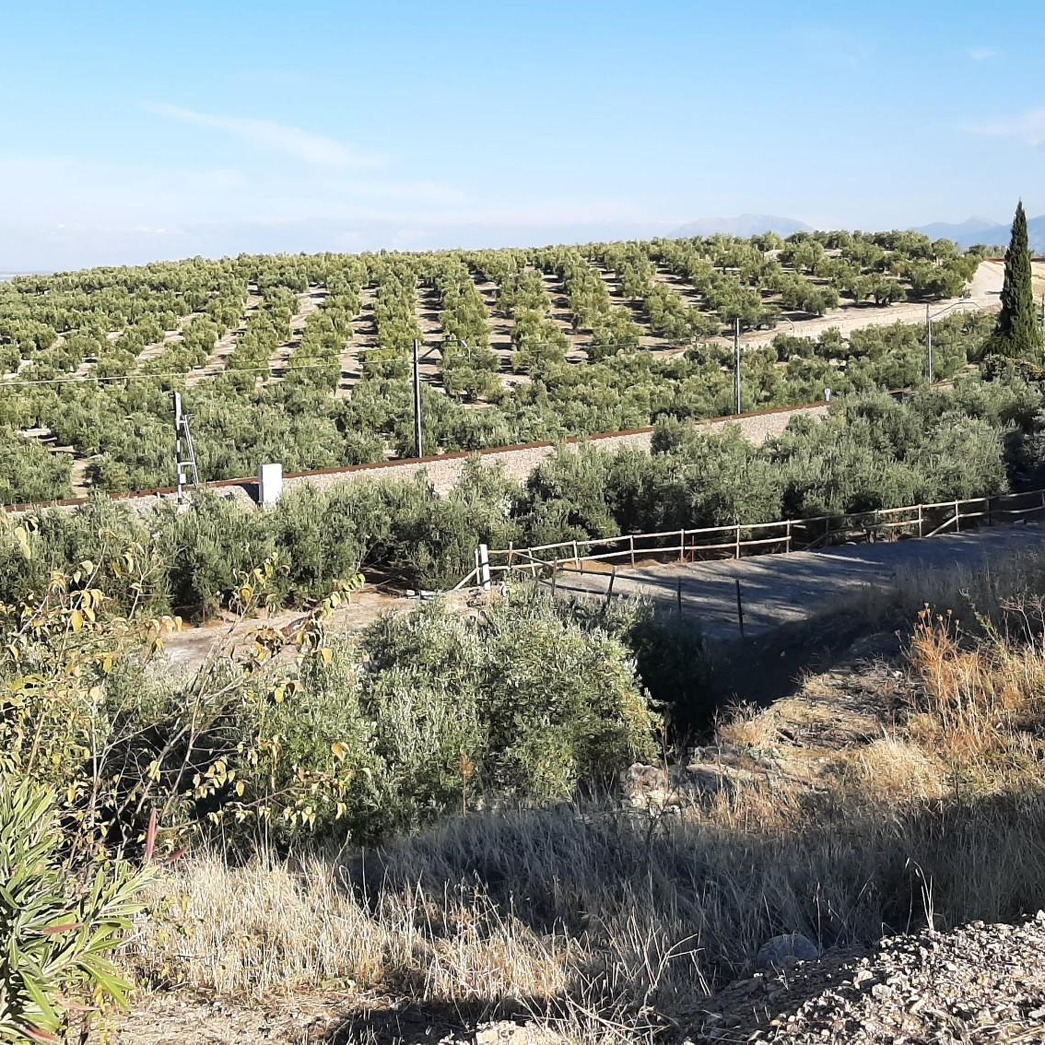
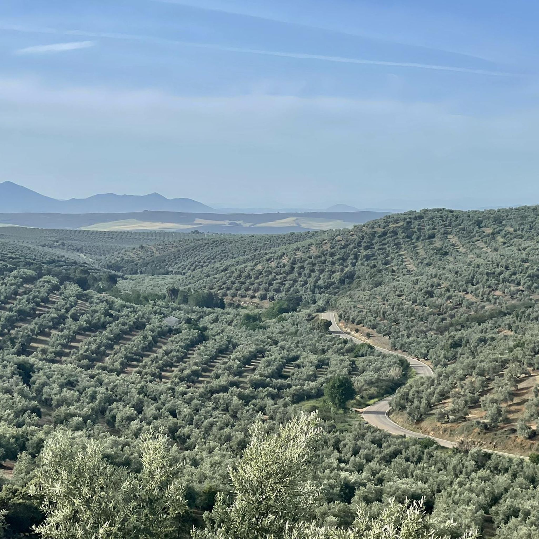
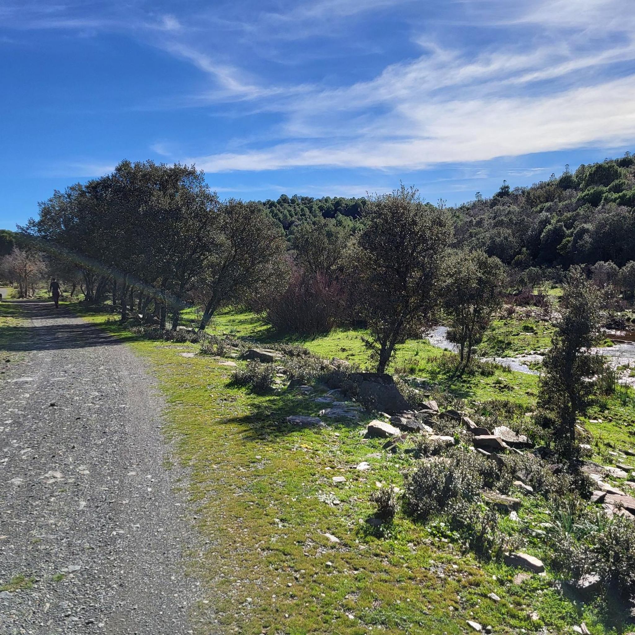
Jogging routes around Río Guadalimar offer diverse landscapes, from serene riverside paths to challenging trails through mountainous terrain. The river flows for 180 kilometers, originating at the foot of Almenara hill and traversing the Sierras de Cazorla, Segura y Las Villas Natural Park. This region features picturesque serrano landscapes, lush gallery forests, and pine forests, providing varied environments for running. Runners can find routes with gentle slopes along the river or more abrupt, humid mountainous sections.
Best jogging routes around…
Last updated: July 7, 2026
12.7km
01:52
680m
680m
Hard run. Very good fitness required. Mostly accessible paths. Some sure footedness required.
7.79km
00:54
150m
150m
Moderate run. Good fitness required. Mostly paved surfaces. Suitable for all skill levels.

Sign up for free
8.43km
01:06
220m
220m
Moderate run. Good fitness required. Mostly paved surfaces. Suitable for all skill levels.
9.81km
01:01
70m
70m
Moderate run. Good fitness required. Mostly paved surfaces. Suitable for all skill levels.
72
runners
Moderate run. Good fitness required. Mostly paved surfaces. Suitable for all skill levels.
21
runners
Moderate run. Good fitness required. Mostly paved surfaces. Suitable for all skill levels.
16
runners
Moderate run. Good fitness required. Mostly paved surfaces. Suitable for all skill levels.
17
runners
7.31km
00:46
50m
50m
Moderate run. Good fitness required. Mostly paved surfaces. Suitable for all skill levels.
4.0
(1)
11
runners
10.7km
01:16
150m
150m
Moderate run. Good fitness required. Mostly paved surfaces. Suitable for all skill levels.
15
runners
Moderate run. Good fitness required. Mostly paved surfaces. Suitable for all skill levels.
Get access to more routes and recommendations from other explorers.
Sign up for free
Already have an account?
Our route recommendations are based on thousands of hikes, rides, and runs completed by other people on komoot.
Start today with a free account
Your next adventure awaits.
Login or Signup

Tips from the Community

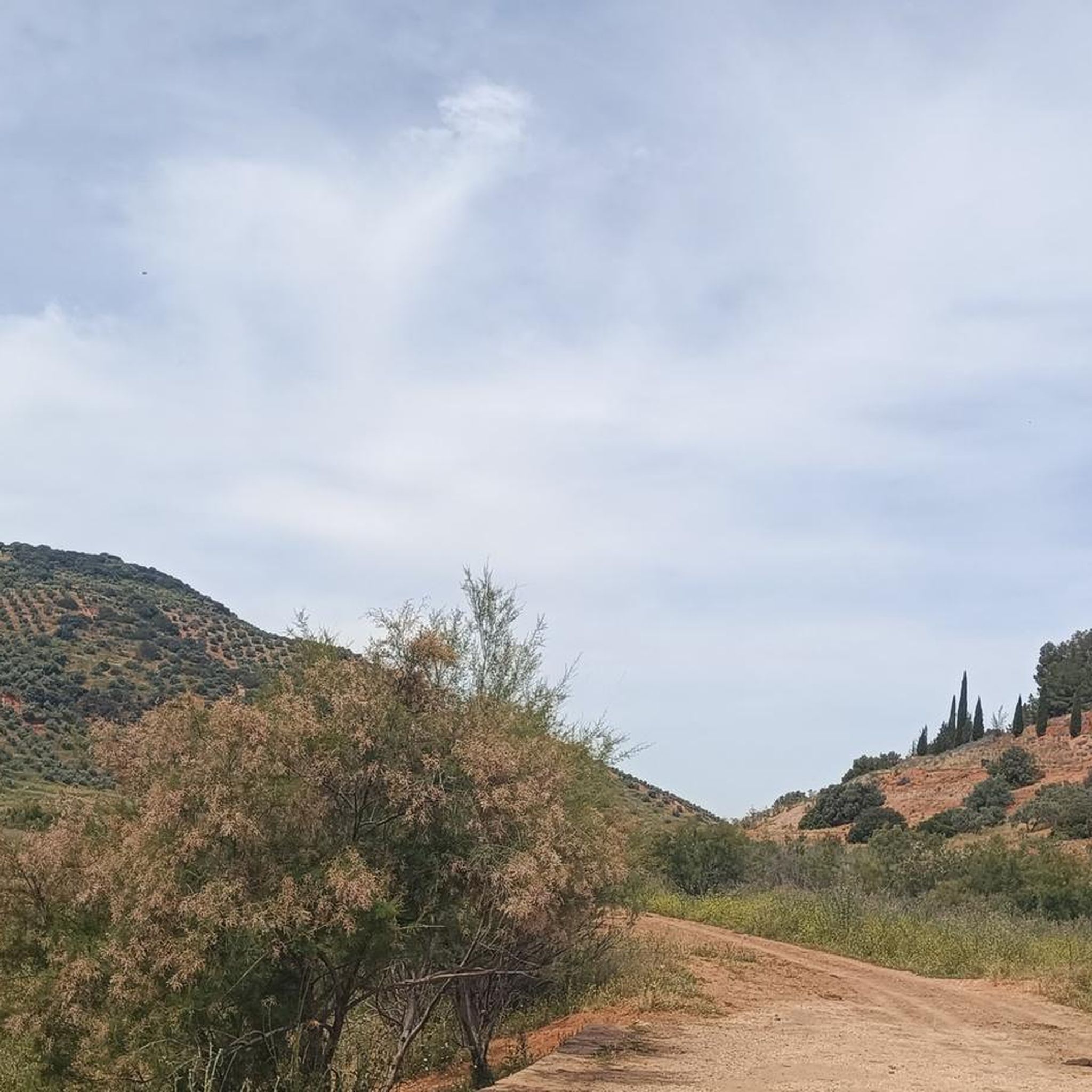
The trail (PR) leading there is very poorly maintained and frankly difficult to follow in places. I also saw no markings (apart from two old wooden signs). A shame.
0
0

The Paseo Virgen de Linarejos is one of the most emblematic spaces in Linares, both for its historical value and its architectural and scenic beauty. Its layout began in 1843 and was completed in 1875, coinciding with the mining boom in Linares and its proclamation as a city during the reign of Alfonso XII.
4
0
The Linares Bullring, also known as the Coso de Santa Margarita, is one of the city's most iconic sites, both for its architecture and its bullfighting history. It was built in 1866 and inaugurated in 1867 with a bullfight featuring bulls from the Miura ranch.
4
0


It is an Ibero-Roman archaeological site a few kilometers from Linares. In it you can see remains found in successive excavations that show the constructions of our ancestors.
10
0
Very close to Linares is this archaeological site where excavations are carried out to be seen by visitors.
9
0

Reservoir that collects the waters of the Río Guadalimar and that extends over a good number of hectares. There are three other reservoirs in this area.
0
0
Old bridge that helps to cross this narrower part of what is called the Giribaile Reservoir, close to the town of Úbeda and which takes the waters of the Río Guadalimar.
0
0
Frequently Asked Questions
How many running routes are available in the Río Guadalimar area?
The Río Guadalimar region offers a wide selection of running routes, with over 50 distinct trails available. These routes cater to various preferences, from gentle riverside paths to more challenging mountainous terrain.
Are there running routes suitable for all skill levels around Río Guadalimar?
Yes, the Río Guadalimar area provides a good mix of running trails for different abilities. While the majority are moderate (around 43 routes), there are also easy options for beginners and 8 difficult routes for experienced runners seeking a challenge.
What kind of terrain can I expect on the jogging trails in Río Guadalimar?
The terrain varies significantly along the Río Guadalimar. You'll find serene riverside paths with gentle slopes, ideal for relaxed jogging, especially in areas like the promenade in La Puerta de Segura. However, routes traversing the Sierras de Cazorla, Segura y Las Villas Natural Park offer more abrupt and humid mountainous terrain, providing a challenging experience with considerable panoramic views.
Are there any circular jogging routes along the Río Guadalimar?
Yes, there are several circular running routes. For instance, the Giribaile Reservoir Circular Route via the Ariza Bridge offers a moderate 9.8 km loop around the serene reservoir. Another option is the challenging Cerro de la Buitrera - circular trail running from la Puerta de Segura, which is 12.7 km long and provides panoramic views.
What are some notable landmarks or points of interest I might see while running in the Río Guadalimar region?
The region is rich in natural beauty and historical elements. You can encounter picturesque 'serrano landscapes' and lush gallery forests. Historical sites include the Roman bridge Puente Mocho and the Muslim-origin Torre del Cubo in Siles, which offers spectacular views. The Castle and archaeological site of Giribaile is another significant landmark along a popular running route.
Is the Río Guadalimar area suitable for family-friendly jogging?
Yes, the Río Guadalimar offers options for families. The serene riverside paths, particularly those with gentle slopes and well-maintained surfaces like the promenade in La Puerta de Segura, are suitable for relaxed jogging with family members. Look for routes categorized as 'easy' or 'moderate' for a more comfortable experience.
Can I bring my dog on the running trails near Río Guadalimar?
Many outdoor trails in natural areas like Río Guadalimar are generally dog-friendly, especially if your dog is well-behaved and kept on a leash. When running through the Sierras de Cazorla, Segura y Las Villas Natural Park, it's always advisable to check local regulations regarding pets to ensure compliance and protect wildlife.
What do other runners enjoy most about jogging in Río Guadalimar?
The running routes in Río Guadalimar are highly rated by the komoot community, with an average score of 4.3 stars from more than 10 reviews. Runners often praise the diverse landscapes, from tranquil riverside paths to challenging mountainous sections, and the rich natural scenery within the natural park.
Are there any running routes that offer views of the Giribaile Castle?
Yes, the Giribaile Mines — round trip with views of the Giribaile Castle is a moderate 8.4 km trail specifically designed to offer views of the historic Giribaile Castle, leading through historical mining areas.
What is the best time of year to go jogging in the Río Guadalimar region?
The Río Guadalimar region, with its Mediterranean climate, is generally pleasant for jogging during spring and autumn when temperatures are milder. Summer mornings and evenings can also be suitable, but midday heat should be avoided. Winter offers cooler conditions, especially in the mountainous areas, which can be invigorating for runners.
Are there any easy running routes for beginners in the Río Guadalimar area?
While most routes are moderate, there is at least one easy running route available. These typically feature gentler slopes and less challenging terrain, making them perfect for beginners or those looking for a relaxed run. Look for paths along the river's flatter sections, which often provide a smooth surface.
Can I find running routes that explore historical areas?
Absolutely. The Río Guadalimar region is dotted with historical elements. For example, the Castle and archaeological site of Giribaile route allows you to explore ancient sites while running. Other areas feature Roman bridges and medieval towers, adding a cultural dimension to your outdoor activity.
Most popular routes around Río Guadalimar
Most popular attractions around Río Guadalimar

Get inspired with the komoot mobile app


Explore more
Browse the best Running Trails & Routes in other regions.
