The best running trails in Sierras Del Campanario Y Las Cabras
5.0
(1)
85
runners
10
runs
Jogging in Sierras Del Campanario Y Las Cabras offers routes through a Special Zone of Conservation in the Montes de Granada. The region features small mountain ranges with varied topography, including the Alto del Muerto at 1,509 meters. Extensive Mediterranean holm oak forests provide shaded paths, while the Rivers de los Frailes and Colomera create river ecosystems with flatter sections. Calcareous rock faces and open pasturelands add to the diverse terrain available for running.
Best jogging routes in Sierras Del…
Last updated: October 22, 2026
40
runners
26.4km
03:35
1,080m
1,080m
Hard run. Very good fitness required. Mostly paved surfaces. Suitable for all skill levels.
6
runners
23.6km
03:24
1,130m
1,130m
Hard run. Very good fitness required. Mostly paved surfaces. Suitable for all skill levels.

11
runners
10.5km
01:10
80m
80m
Moderate run. Good fitness required. Mostly paved surfaces. Suitable for all skill levels.
5.0
(1)
3
runners
4.89km
00:33
20m
30m
Easy run. Great for any fitness level. Mostly paved surfaces. Suitable for all skill levels.
14
runners
Moderate run. Good fitness required. Mostly paved surfaces. Suitable for all skill levels.
Get access to more routes and recommendations from other explorers.
Already have an account?
Our route recommendations are based on thousands of hikes, rides, and runs completed by other people on komoot.
Start today with a free account
Your next adventure awaits.
Popular around Sierras Del Campanario Y Las Cabras
Tips from the Community

What to see in Moclín Moclín Castle: A 14th-century Nasrid fortress with walls and cisterns. Impressive views of the Sierra Nevada mountains and the Granada plain. Gollizno Route (PR-A 84): A circular trail (8 km) with a suspension bridge, viewpoints, and the Velillos River canyon. Includes the La Luz Dam and the Malalmuerzo Cave. Historic Hermitages: San Antón (at the entrance to the village). Virgen de las Angustias (Our Lady of Sorrows), surrounded by nature.
1
0
Moclín is a charming destination, ideal for those who enjoy history, nature, and panoramic views. It's a typical Andalusian white village, peaceful and with cobbled streets that preserve its traditional essence. It stands out for its historical heritage (Nasrid castle, hermitages) and its natural surroundings, perfect for hiking.
1
0
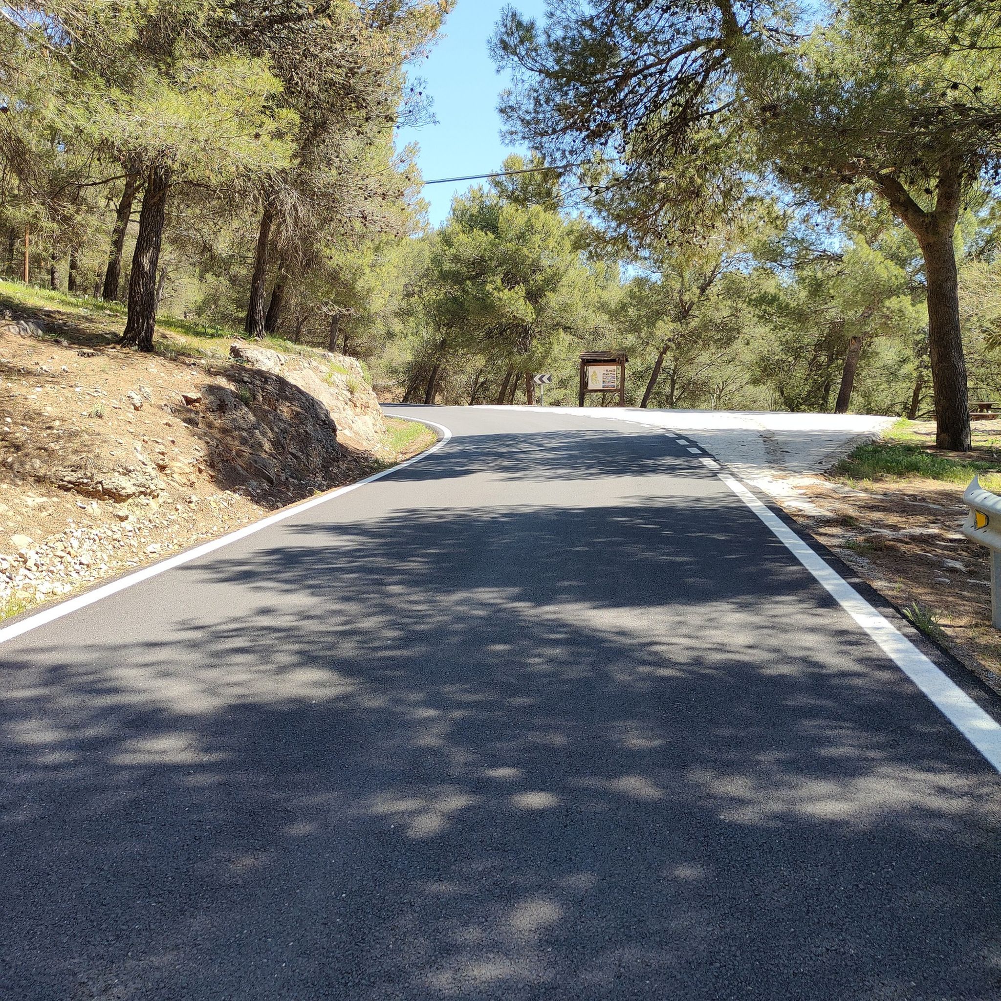
It is located about 1.3 km from the town center, in a natural setting near the Fuente de la Buena Ventura spring. A small, whitewashed rural hermitage, simple in its architecture, both devotional and functional. Inside are two images: the Virgin of Sorrows and another known as Fraileopoldo. It forms part of the famous Gollizno Route (PR-A84), and is one of its recognized points of interest.
1
0

A very cool sunset, a place to walk and ride a bike with the family
0
0

The Cubillas Reservoir extends across the municipalities of Albolote and Atarfe. It was built in 1956 and is primarily used for water supply and agricultural irrigation. The reservoir has an area of 194 hectares and a maximum depth of approximately 20 meters. The reservoir's main tributary is the Cubillas River. The reservoir's surroundings are characterized by pine forests, oak trees, and Mediterranean vegetation, and the lake is an important habitat for many fish species. The Cubillas Reservoir also serves as a resting place for various bird species, including the Great Cormorant and the Dunnock. The reservoir offers numerous recreational opportunities, including sailing, windsurfing, canoeing, jet skiing, and water skiing. There is a large picnic area on the shore and a restaurant overlooking the lake.
2
1

Beautiful tour and great view
1
0


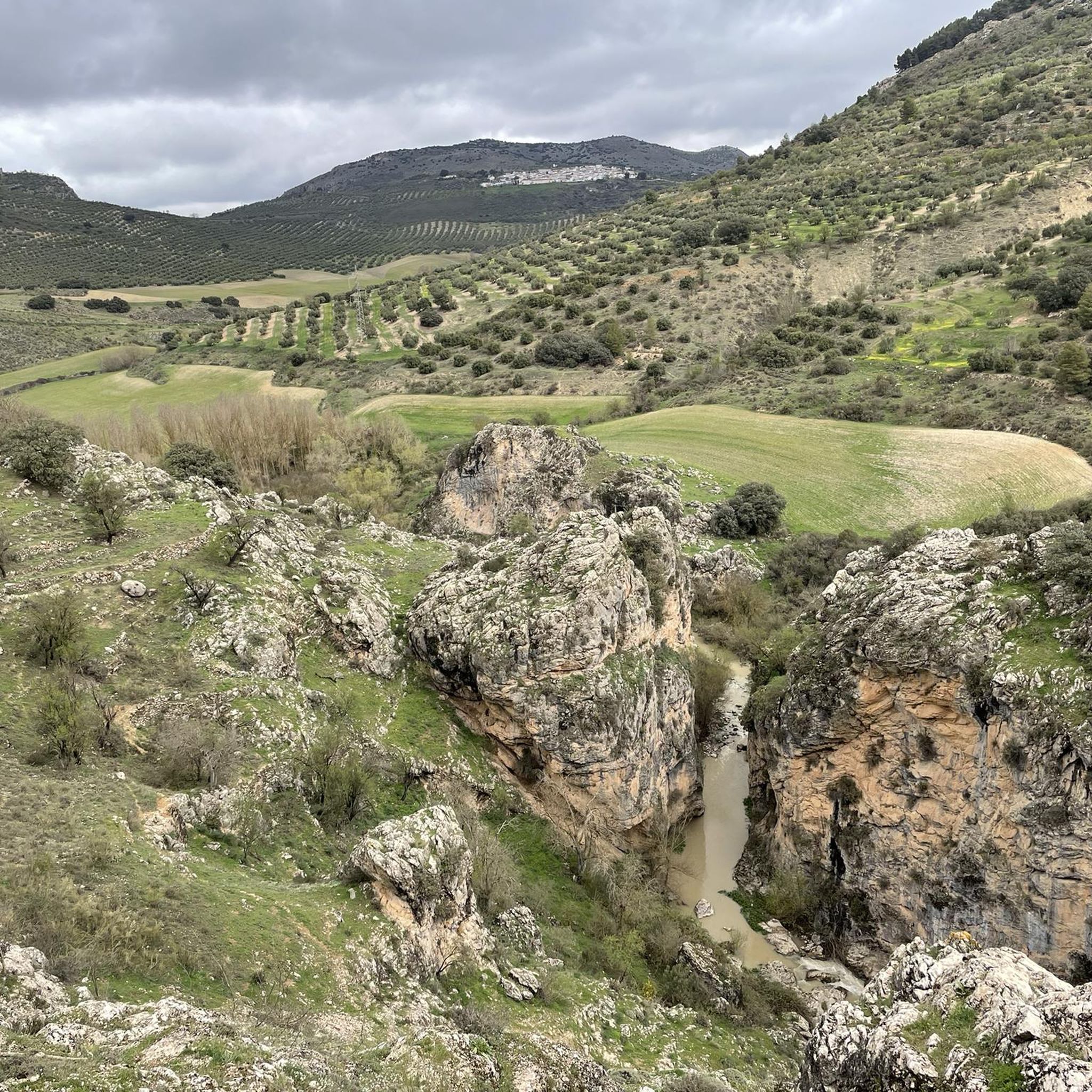
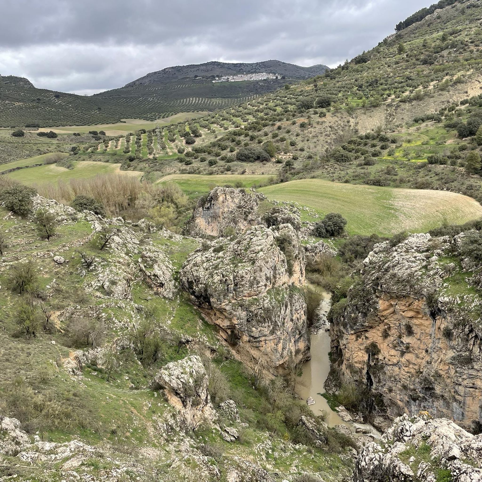
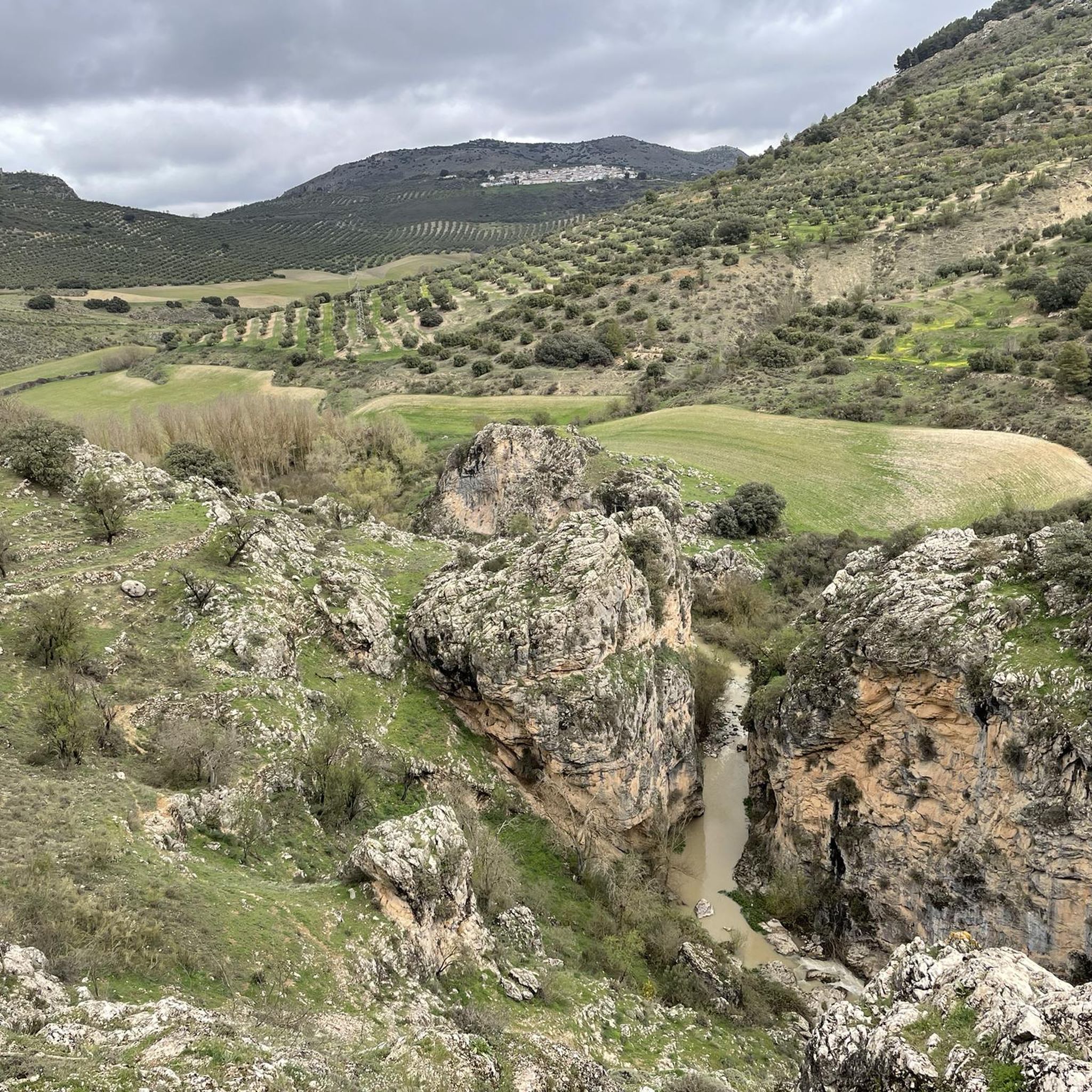
The suspension bridge that crosses the Velillos River and the walkways that take you to it are the most spectacular point of the Gollizno route.
3
1
Frequently Asked Questions
How many running routes are available in Sierras Del Campanario Y Las Cabras?
There are currently 3 dedicated jogging routes listed on komoot for Sierras Del Campanario Y Las Cabras, offering a range of experiences from moderate loops to more challenging trails.
What kind of terrain can I expect on the running trails in this region?
The terrain in Sierras Del Campanario Y Las Cabras is quite varied. You'll find shaded paths through extensive Mediterranean holm oak forests, flatter sections along river ecosystems, and open pasturelands. Some routes may also feature ascents and descents through small mountain ranges, offering a good cardiovascular workout.
Are there any easy or beginner-friendly running routes in Sierras Del Campanario Y Las Cabras?
While there are no routes specifically classified as 'easy' in the current selection, the two moderate routes around the Cubillas Reservoir, such as the Cubillas Reservoir – Shore of the Cubillas Reservoir loop from Toro de Osborne, offer accessible options for those with a reasonable fitness level. These routes provide a good introduction to the region's natural beauty without extreme difficulty.
What are the best times of year to go jogging in Sierras Del Campanario Y Las Cabras?
The Mediterranean climate means spring and autumn are ideal for jogging, with pleasant temperatures and blooming flora. During warmer periods, the extensive holm oak forests offer welcome shade. Early mornings or late afternoons are generally recommended during the summer months to avoid the midday heat.
Are there any circular running routes available?
Yes, all the listed jogging routes in Sierras Del Campanario Y Las Cabras are circular. For example, you can enjoy the Cubillas Reservoir – Cubillas Reservoir loop from Presa del Cubillas, which circles the reservoir and provides a mix of open areas and sections near the water.
What interesting sights or natural features can I see while running in the area?
The region is rich in natural beauty. You'll encounter extensive Mediterranean holm oak forests, river ecosystems along the Rivers de los Frailes and Colomera, and open pasturelands. The nearby Gollizno Suspension Bridge and the Presa de la Luz are notable points of interest that can be explored in the wider area.
Are the running trails in Sierras Del Campanario Y Las Cabras suitable for families?
While specific 'family-friendly' jogging routes are not explicitly detailed, the moderate loops around the Cubillas Reservoir, such as the Cubillas Reservoir – Shore of the Cubillas Reservoir loop from Toro de Osborne, could be suitable for active families with older children who are accustomed to longer distances and varied terrain.
Can I bring my dog on the running routes?
Sierras Del Campanario Y Las Cabras is a natural area, and generally, dogs are permitted on trails, especially if kept on a leash. However, it's always advisable to check local regulations or signage at trailheads, as rules can vary within protected zones. Ensure your dog is well-behaved and that you clean up after them.
What do other runners enjoy most about jogging in Sierras Del Campanario Y Las Cabras?
Runners often praise the diverse landscapes, from the tranquil holm oak forests offering shade to the scenic views around the Cubillas Reservoir. The variety of terrain, including both flatter sections and gentle ascents, is also frequently highlighted as a positive aspect for a varied running experience.
Are there any challenging running routes for experienced runners?
Yes, for experienced runners seeking a greater challenge, the Cubillas Reservoir – Shore of the Cubillas Reservoir loop from Presa del Cubillas is a difficult route spanning 12.8 miles (20.6 km) with significant elevation gain, offering a more demanding and rewarding experience.
Is there parking available near the trailheads?
While specific parking details for each trailhead are not provided in the guide, areas around popular starting points like the Cubillas Reservoir typically offer designated or informal parking spots. It's recommended to check maps or local information for specific parking locations before your visit.
What kind of wildlife might I encounter while running?
The Special Zone of Conservation is home to diverse fauna. You might spot various amphibian species, a rich bat population, and birds of prey such as Bonelli's eagle and the eagle owl. Keep an eye out, especially in quieter sections of the trails, to observe the local wildlife.
Most popular routes in Sierras Del Campanario Y Las Cabras
Most popular attractions in Sierras Del Campanario Y Las Cabras

Get inspired with the komoot mobile app


Explore more
Browse the best Running Trails & Routes in other regions.
