The best walks and hikes in Sierra Magina
4.4
(104)
467
hikers
20
hikes
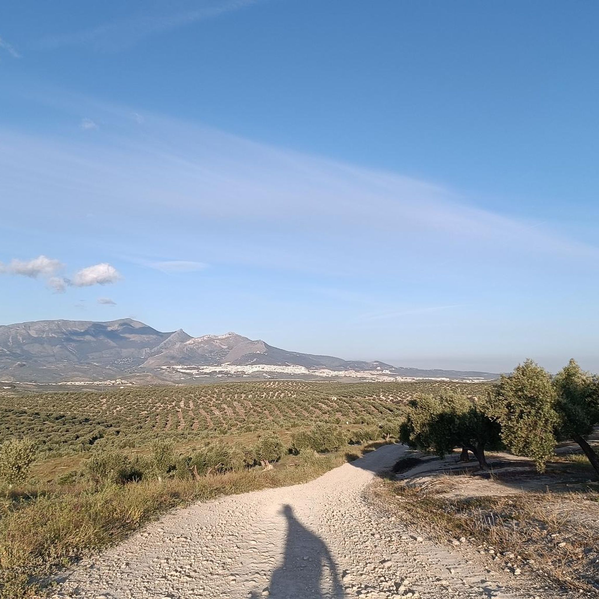
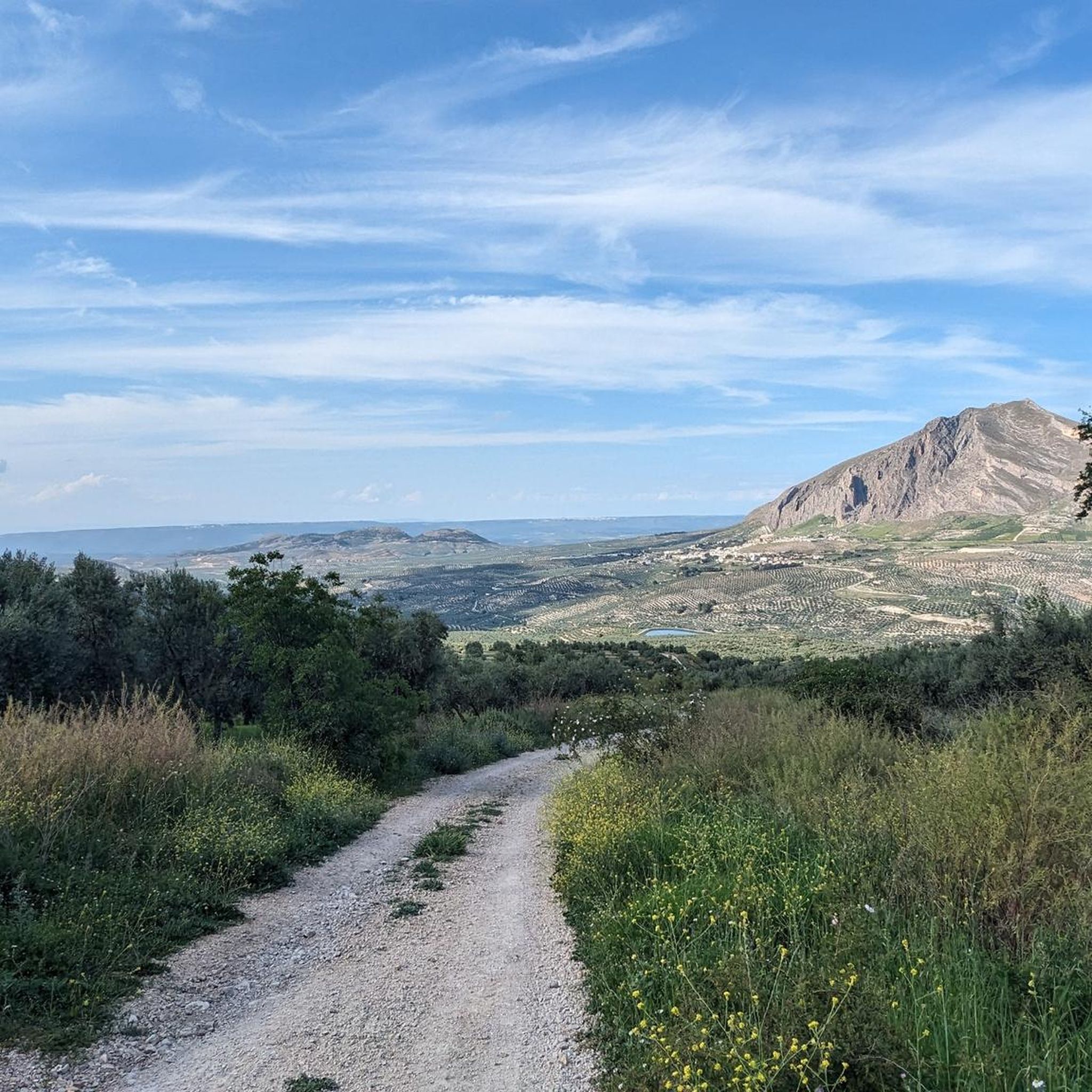
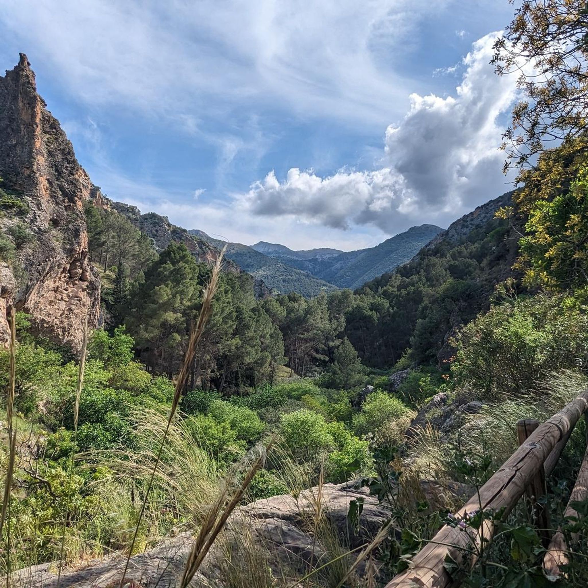
Hiking in Sierra Mágina offers diverse terrain within a Natural Park characterized by rugged limestone massifs and high summits. The region features dramatic cliffs, varied forests, and river valleys, with three peaks exceeding 2,000 meters, including Pico Mágina at 2,165 meters. Extensive hiking trails traverse these landscapes, providing opportunities to explore unique natural features and historical sites.
Best hiking trails in Sierra Magina
- The most popular hiking route is Birth of the Cuadros River - circular through the Sierra Mágina…
Last updated: October 10, 2026
4.4
(40)
98
hikers
Moderate hike. Good fitness required. Easily-accessible paths. Suitable for all skill levels.
8
hikers
22.0km
07:27
1,110m
1,110m
Hard hike. Very good fitness required. Easily-accessible paths. Suitable for all skill levels.

4
hikers
10.0km
03:44
680m
690m
Hike the Cerro Almadén circular route in Sierra Mágina Natural Park, a moderate 6.2-mile trail with panoramic views and diverse terrain.
4.5
(10)
85
hikers
21.5km
07:09
1,030m
1,030m
Hard hike. Very good fitness required. Easily-accessible paths. Suitable for all skill levels.
4.6
(5)
15
hikers
13.4km
04:06
480m
480m
Moderate hike. Good fitness required. Easily-accessible paths. Suitable for all skill levels.
Get access to more routes and recommendations from other explorers.
Already have an account?
Our route recommendations are based on thousands of hikes, rides, and runs completed by other people on komoot.
Start today with a free account
Your next adventure awaits.
Tips from the Community

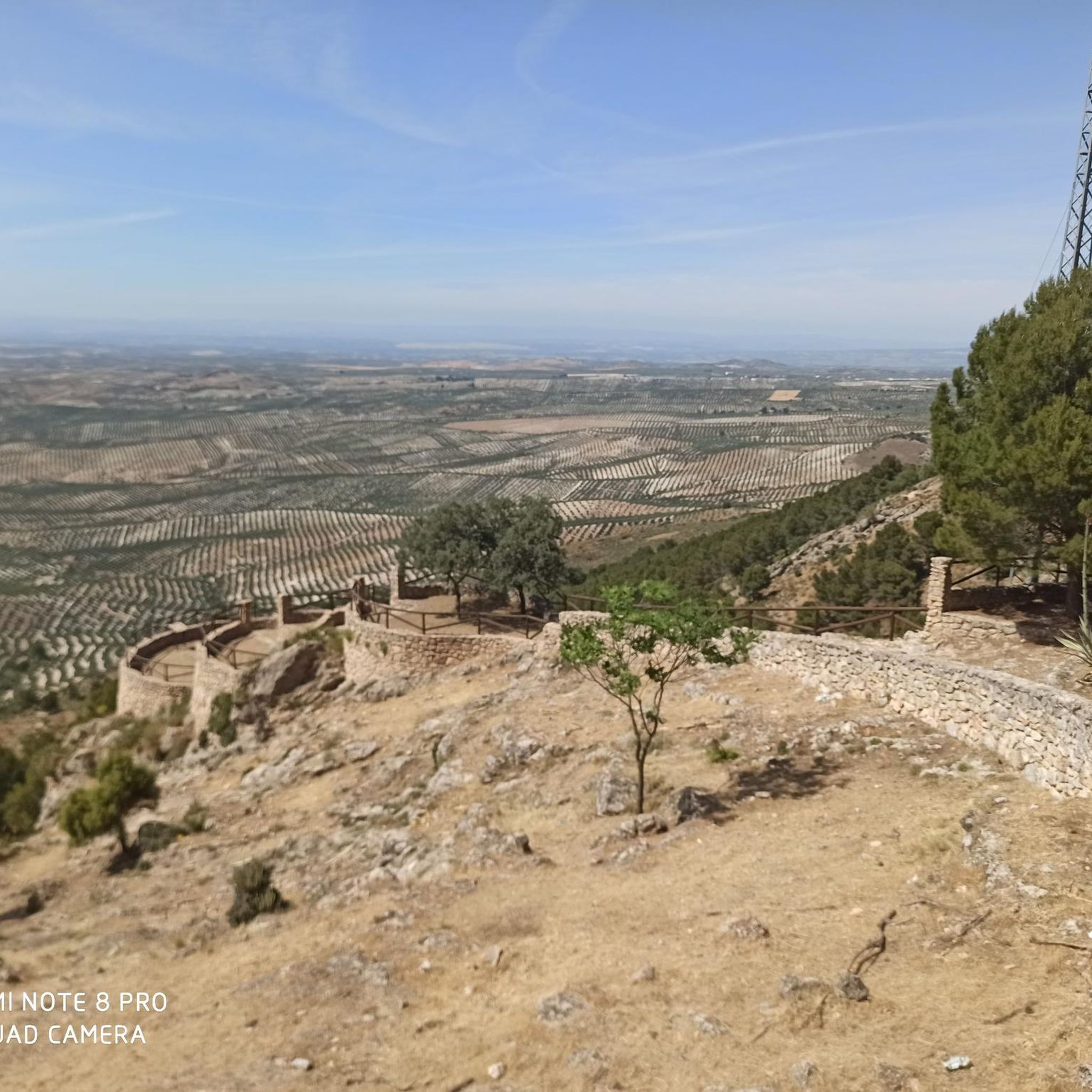
The Las Covatillas viewpoint is a privileged spot for contemplating this high-altitude meadow where shepherds' huts and corrals used to be.
0
0

Very pretty! Be prepared to get your feet wet to discover the waterfall, the different "chambers" are well worth it!
0
0

The source of the Cuadros River is a place of great natural beauty located in the Sierra Mágina Natural Park, near Bedmar and Garcíez. This source, also known as the Sistillo, is one of the highlights of the Oleander Route.
5
0
The Cueva del Agua in Bedmar y Garcíez is a fascinating place located in the Sierra Mágina Natural Park. This cave is known for its impressive geological formations created by the passage of water over time.
5
0

A real spectacle in its surroundings. From there you can see all the worlds, hence its name "Miramundos."
0
0
I loved it 😍🎈 "Where the earth touches the sky, there Mágina watches, eternal sentinel of the Holy Kingdom."
0
0

Beautiful castle ruins. Located directly on the GR7 hiking trail.
2
0

Good views from the summit. There is no area to take shelter, so it must be taken into account in adverse weather conditions.
1
0
Frequently Asked Questions
What kind of terrain can I expect when hiking in Sierra Mágina?
Sierra Mágina is characterized by dramatic limestone terrain, featuring rugged, steep massifs, precipitous cliffs, and high summits. You'll encounter varied landscapes, from barren, lunar-like high-altitude areas to shady forests, riverbanks, and extensive olive groves. The park is part of the Cordillera Subbética range, offering a diverse and challenging environment for hikers.
Are there any easy or family-friendly hiking trails in Sierra Mágina?
Yes, Sierra Mágina offers routes suitable for various skill levels. For an easy, family-friendly option, consider the Adelfal de Cuadros Trail, a short circular walk through one of Europe's largest oleander groves to the Source of the Cuadros River. Another moderate option is the Birth of the Cuadros River - circular through the Sierra Mágina natural park, which is 7 km long and takes about 2 hours 20 minutes.
What are some notable natural features or landmarks to see while hiking?
Sierra Mágina is rich in natural and historical landmarks. You can visit the impressive Source of the Cuadros River and its unique oleander grove. The park also boasts high peaks like Pico Mágina Summit (2,167 m), and the Zurreón Waterfall, which is known to freeze solid in winter. Additionally, there are limestone caves, such as Cueva del Agua de Bedmar, and historical sites like the Albanchez de Mágina Castle.
Are there any circular hiking routes in Sierra Mágina?
Yes, many trails in Sierra Mágina are circular. A popular moderate option is the Birth of the Cuadros River - circular through the Sierra Mágina natural park. For a more challenging experience, the Pico Mágina - circular through the Sierra Mágina natural park offers a difficult 22 km ascent to the highest peak. Another great choice is the Cerro Almadén Loop Trail, a 10 km route with panoramic views.
What is the best time of year to go hiking in Sierra Mágina?
Sierra Mágina offers hiking opportunities year-round, but the best times are generally spring and autumn when temperatures are milder and the landscapes are vibrant. Spring brings blooming flora, while autumn showcases beautiful fall colors. Summers can be very hot, especially at lower altitudes, making early morning or late afternoon hikes preferable. In winter, higher peaks can be snow-capped, offering a unique experience but requiring appropriate gear.
What do other hikers enjoy most about Sierra Mágina?
The komoot community highly rates Sierra Mágina, with an average score of 4.5 stars from over 70 reviews. Hikers often praise the dramatic and diverse landscapes, from rugged limestone peaks to serene river valleys and unique botanical features. The extensive network of trails, catering to all skill levels, and the rich historical heritage also contribute to its appeal.
Are there any historical sites or castles to explore in Sierra Mágina?
Yes, Sierra Mágina has a rich history as a former borderland. You can find numerous historical sites, including well-preserved fortresses and castles. Notable examples include the Moorish castle in Jódar, which also houses the park's main visitor center, and structures in Albánchez de Mágina, Bélmez, Jimena, and Cambil. The Albanchez de Mágina Castle is another significant historical highlight.
Can I bring my dog on the hiking trails in Sierra Mágina?
While specific regulations can vary, generally, dogs are permitted on many trails within natural parks in Spain, often on a leash. It's always advisable to check local signage at trailheads or contact the park visitor center for the most current rules regarding pets, especially concerning protected areas or wildlife zones within Sierra Mágina.
Where can I find parking for trailheads in Sierra Mágina?
Parking is typically available at or near the starting points of many popular trails and in the villages surrounding the Natural Park. For example, routes like the Castillo de Mata Bejid loop from Área Recreativa "El Peralejo" often have designated recreational areas with parking facilities. It's recommended to check specific route descriptions or local maps for precise parking locations before your hike.
Are there any challenging hikes for experienced trekkers in Sierra Mágina?
Absolutely. Sierra Mágina is home to three peaks exceeding 2,000 meters, offering demanding ascents. The most challenging is the Pico Mágina - circular through the Sierra Mágina natural park, a difficult 22 km route with over 1,000 meters of elevation gain to the highest summit. Another difficult option is the Pico Mágina Summit (2,167 m) – Miramundos Shelter loop from Cortijo de Vista Alegre, which is also over 21 km long.
What kind of wildlife can I expect to see in Sierra Mágina?
Sierra Mágina supports diverse fauna due to its varied habitats. Hikers might spot mountain goats and wild boar. The park is particularly significant for its birdlife, hosting a substantial population of birds of prey, including golden eagles, Bonelli's eagles, and kestrels, making it an excellent spot for birdwatching.
Most popular attractions in Sierra Magina

Get inspired with the komoot mobile app


Explore more
Browse the best Hikes in other regions.
