The best walks and hikes in Guadalmellato
4.5
(813)
5,872
hikers
316
hikes
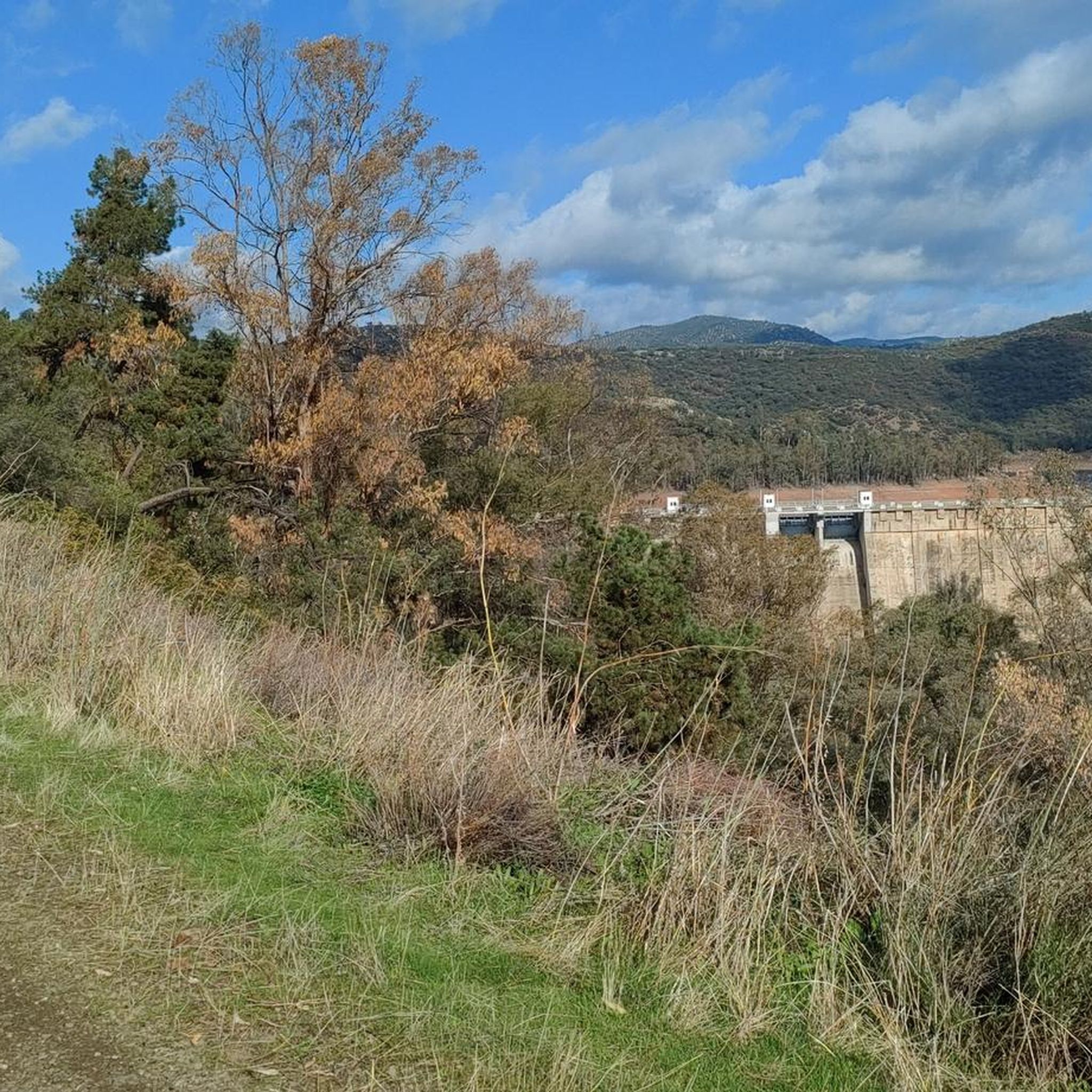
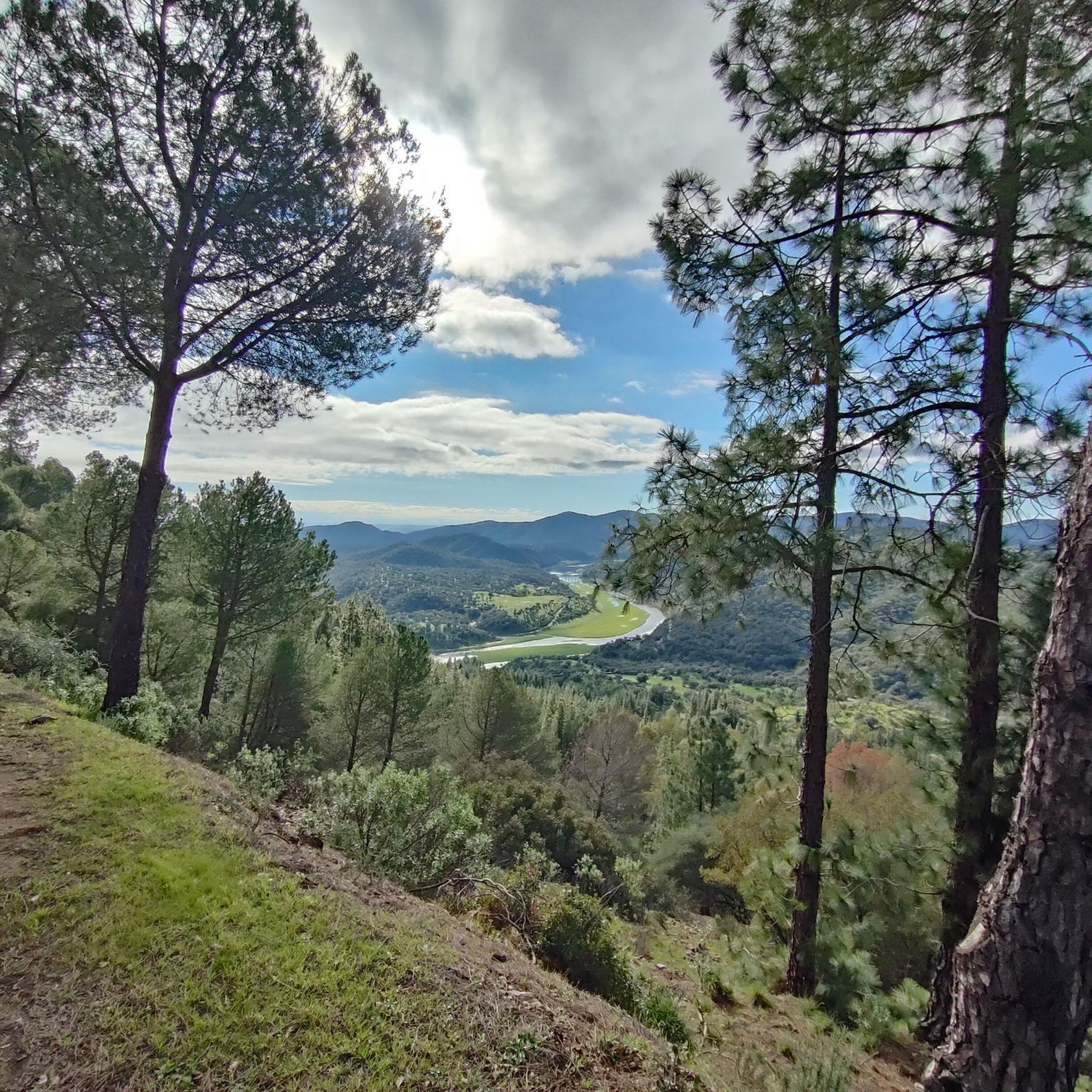
Hiking in Guadalmellato offers diverse landscapes within the Sierra Morena mountain range, characterized by gently sloping mountainous elevations and lush Mediterranean forests. The region is shaped by the Guadalmellato River, which feeds into the Guadalmellato Reservoir and the San Rafael de Navallana Reservoir, creating serene environments for trails. These bodies of water and the surrounding forested mountains provide varied terrain for outdoor exploration.
Best hiking trails in Guadalmellato
- The most popular hiking route is Piedra Horadada – Cerro Muriano Copper…
Last updated: October 14, 2026
3.0
(1)
6
hikers
6.97km
02:08
240m
240m
Moderate hike. Good fitness required. Easily-accessible paths. Suitable for all skill levels.
5.0
(2)
9
hikers
16.2km
04:48
470m
470m
Moderate hike. Good fitness required. Easily-accessible paths. Suitable for all skill levels.

5
hikers
Hard hike. Very good fitness required. Easily-accessible paths. Suitable for all skill levels.
5.0
(1)
6
hikers
8.86km
02:31
200m
210m
Moderate hike. Good fitness required. Easily-accessible paths. Suitable for all skill levels.
5.0
(2)
5
hikers
7.69km
02:08
140m
140m
Moderate hike. Good fitness required. Easily-accessible paths. Suitable for all skill levels.
Get access to more routes and recommendations from other explorers.
Already have an account?
Our route recommendations are based on thousands of hikes, rides, and runs completed by other people on komoot.
Start today with a free account
Your next adventure awaits.

Tips from the Community


It is better to ride on non-rainy days because it is quite slippery.
0
0

This deposit is one of many in this area, where there was a lot of copper extraction. The complex has been declared an Asset of Cultural Interest due to its high historical value.
2
0
Mysterious tunnel worthy of a television series. If you need a little break from the race or want to try a nightlife, you can go through the tunnel, but you need to go from the front, since it's a curve so you can't see both entrances at the same time.
1
0
Geological formation that draws attention for the hole that is under it. Quartz and copper veins can be seen.
2
0

In winter if it carries water and it is more difficult to cross it. From this point you can see two aqueducts, of the many that pass through this area, which carry water from the reservoir.
3
0
Aqueduct that joins two paths and passes over the Guadalbarbo stream. It's your risk to go over it.
0
1
Tube that crosses the Guadalbarbo ravine in a very beautiful enclave.
1
0
Frequently Asked Questions
How many hiking trails are available in Guadalmellato?
Guadalmellato offers a wide selection of routes, with over 300 hiking trails available. These range from easy strolls to more challenging treks, catering to various fitness levels.
What are the typical terrain and difficulty levels for hiking in Guadalmellato?
The terrain in Guadalmellato is diverse, featuring gently sloping mountainous elevations and lush Mediterranean forests within the Sierra Morena range. You'll find paths around the Guadalmellato River and its reservoirs. The trails are categorized into easy (over 130 routes), moderate (over 150 routes), and difficult (nearly 30 routes), ensuring options for all abilities.
Are there any family-friendly hiking options in Guadalmellato?
Yes, Guadalmellato has numerous easy routes suitable for families. These trails often feature gentle gradients and scenic views, perfect for a leisurely outing. Many paths around the reservoirs offer accessible and enjoyable experiences for all ages.
Can I hike with my dog in Guadalmellato?
Guadalmellato's extensive trail networks through Mediterranean forests are generally welcoming for dogs. However, it's always recommended to keep your dog on a leash, especially in areas with potential wildlife or near livestock, and to check local regulations for specific trails or protected areas.
What natural features or landmarks can I expect to see while hiking?
While hiking in Guadalmellato, you'll encounter significant natural features such as the Guadalmellato Reservoir and Dam, the oldest in the province, and the serene Navallana Reservoir. The trails often follow the Guadalmellato River and traverse the picturesque Sierra Morena landscape, offering various viewpoints like the View of the Guadalmellato Reservoir.
Are there any circular hiking routes in Guadalmellato?
Yes, many trails in Guadalmellato are designed as circular routes, allowing you to start and end at the same point. An example is the Cañada Real Soriana – Cerro Muriano Railway Tunnel loop from Urbanización Chabolo, which takes you through forested areas and past historical sites.
What is the best time of year to go hiking in Guadalmellato?
Spring and autumn are particularly recommended for outdoor activities in Guadalmellato due to the mild and pleasant weather. These seasons offer comfortable temperatures for hiking and showcase the region's natural beauty at its best.
Where can I find parking for hiking trails in Guadalmellato?
While specific parking areas are not always explicitly signposted for every trailhead, many routes, especially those starting from villages or urbanizations like Las Malagueñas or Urbanización Chabolo, will have nearby parking options. It's advisable to check the starting point of your chosen route for available parking.
Is public transport available to access hiking areas in Guadalmellato?
Public transport options directly to remote trailheads in Guadalmellato may be limited. Access is generally easier by car, allowing you to reach various starting points around the reservoirs and within the Sierra Morena. For specific routes, checking local bus services to nearby towns might be an option, followed by a walk or taxi to the trailhead.
What makes Guadalmellato a unique hiking destination?
Guadalmellato stands out for its tranquil atmosphere, diverse landscapes within the Sierra Morena, and the central role of the Guadalmellato River and its reservoirs. The region offers a peaceful experience with minimal motorized traffic, extensive trail networks, and a rich biodiversity, including the successful reintroduction of the Iberian lynx.
What do other hikers say about their experience in Guadalmellato?
The hiking routes in Guadalmellato are highly rated by the komoot community, with an average score of 4.4 stars from over 600 reviews. Hikers often praise the varied terrain, the serene environments around the reservoirs, and the peaceful experience offered by the Mediterranean forests.
Are there any longer, more challenging hikes in the region?
Yes, for those seeking a greater challenge, Guadalmellato offers several difficult routes. An example is the Cerro Muriano Copper Mines – Piedra Horadada loop from Cortijo dos Fuentes, which covers over 25 km and involves significant elevation changes, providing a demanding yet rewarding experience.
What kind of wildlife might I encounter while hiking in Guadalmellato?
Guadalmellato is known for its rich biodiversity. The region is part of the Sierra Morena, an important habitat for various species. Notably, the area around the Embalse de Guadalmellato has been a site for the successful reintroduction of the Iberian lynx, offering a chance to observe this rare animal, along with other Mediterranean wildlife.
Most popular routes in Guadalmellato
Most popular attractions in Guadalmellato

Get inspired with the komoot mobile app


Explore more
Browse the best Hikes in other regions.
